
World by Homann J.B., double hemisphere. c. 1720

The Homann Family: Masters of German Cartography and Publishing
The Homann family stands as one of the most significant names in the history of German cartography and publishing. Their maps, atlases, and geographic works not only shaped contemporary understanding of the world during the 18th century but also left an enduring legacy in the fields of geography, engraving, and scholarly publishing.
The family's prominence began with Johann Baptist Homann (1664–1724), a native of Oberkammlach in Bavaria. Initially trained in law and theology, Johann Baptist later turned to engraving and cartography — a field that was flourishing amid the Age of Discovery and the growing demand for precise geographic knowledge.
In 1702, he founded his own publishing house in Nürnberg, a city then renowned for its vibrant intellectual, artistic, and scientific community. Nuremberg’s rich tradition of printmaking and map production provided fertile ground for Homann's enterprise.
Johann Baptist Homann quickly rose to prominence as one of Germany’s leading cartographers and publishers. His works combined technical accuracy, artistic merit, and rich ornamentation, often embellished with elaborate cartouches, mythological scenes, and heraldic symbols.
In 1715, Homann was appointed Imperial Geographer to the Holy Roman Emperor Charles VI. He obtained the "Imperial Privilege" (Privilegium Imperialis). This prestigious title solidified his status and bestowed upon his publishing house both credibility and influence. His most famous works include:
- Atlas Novus Terrarum Orbis (1707) — an early and ambitious atlas project.
- Grosser Atlas über die ganze Welt (1716) — one of the most crucial German world atlases of the early 18th century.
Homann’s maps covered both European and global territories, including the Americas, Asia, and Africa, reflecting contemporary geographical knowledge and political boundaries.
The Homann Heirs (Homannische Erben)
After Johann Baptist Homann died in 1724, his son Johann Christoph Homann (1703–1730) briefly took over the business. However, Johann Christoph died at a young age, and the enterprise was then continued under the name Homännische Erben ("Homann Heirs"), a partnership of family members and associates.
Despite the loss of its founder, the firm remained highly productive and influential for several decades. The Homann Heirs continued to publish atlases, wall maps, city views, and geographical treatises well into the late 18th century. Their catalogue included works by noted cartographers such as Johann Matthias Hase, Leonhard Euler, and Tobias Conrad Lotter.
The Homann publishing house played a crucial role in disseminating geographic and scientific knowledge during the Enlightenment. Their maps combined artistry with empirical detail and were sought after by scholars, navigators, governments, and collectors.
Several of their works are now prized as valuable historical artefacts, housed in museums, libraries, and private collections around the world. The Homann Heirs' firm gradually declined by the end of the 18th century, overtaken by newer publishing houses and changing technologies, but their contribution to the cartographic tradition remains significant.
The Homann family’s name is indelibly linked to the golden age of German cartography. Through meticulous craftsmanship and a keen sense of visual storytelling, they charted the known world of their time, leaving a remarkable record of early modern geography. Today, their maps not only inform historians of cartography but also captivate collectors and enthusiasts for their aesthetic beauty and historical value.
Planiglobii Terrestris cum Utroq Hemisphaerio Caelesti Generalis Repraesentatio.
Item Number: 29066 Authenticity Guarantee
Category: Antique maps > World and Polar
Antique world map, by J.B. Homann.
Double-hemisphere, with smaller celestial hemispheres and planetary diagrams.
Title: Planiglobii Terrestris cum Utroq Hemisphaerio Caelesti Generalis Exhibitio, ...
Quam ex novissimis probatissimisque recentium Geographorum scriptis concinnatam multisqz phaenomaenis illustratam
publice proponit Io. Bapt. Homann Sac. Caes. Maj. Geographus et Reg. Scientiarum Acade Berolinensis Socius Norimbergae
Cum Privilegio Sac. Caes. Majestatis.
Date: c. 1720.
Copper engraving, printed on paper.
Map size: 485 x 550mm (19.09 x 21.65 inches).
Sheet size: 525 x 620mm (20.67 x 24.41 inches).
Verso: Blank.
Condition: Original coloured, excellent.
Condition Rating: A+.
The Homann Family: Masters of German Cartography and Publishing
The Homann family stands as one of the most significant names in the history of German cartography and publishing. Their maps, atlases, and geographic works not only shaped contemporary understanding of the world during the 18th century but also left an enduring legacy in the fields of geography, engraving, and scholarly publishing.
The family's prominence began with Johann Baptist Homann (1664–1724), a native of Oberkammlach in Bavaria. Initially trained in law and theology, Johann Baptist later turned to engraving and cartography — a field that was flourishing amid the Age of Discovery and the growing demand for precise geographic knowledge.
In 1702, he founded his own publishing house in Nürnberg, a city then renowned for its vibrant intellectual, artistic, and scientific community. Nuremberg’s rich tradition of printmaking and map production provided fertile ground for Homann's enterprise.
Johann Baptist Homann quickly rose to prominence as one of Germany’s leading cartographers and publishers. His works combined technical accuracy, artistic merit, and rich ornamentation, often embellished with elaborate cartouches, mythological scenes, and heraldic symbols.
In 1715, Homann was appointed Imperial Geographer to the Holy Roman Emperor Charles VI. He obtained the "Imperial Privilege" (Privilegium Imperialis). This prestigious title solidified his status and bestowed upon his publishing house both credibility and influence. His most famous works include:
- Atlas Novus Terrarum Orbis (1707) — an early and ambitious atlas project.
- Grosser Atlas über die ganze Welt (1716) — one of the most crucial German world atlases of the early 18th century.
Homann’s maps covered both European and global territories, including the Americas, Asia, and Africa, reflecting contemporary geographical knowledge and political boundaries.
The Homann Heirs (Homannische Erben)
After Johann Baptist Homann died in 1724, his son Johann Christoph Homann (1703–1730) briefly took over the business. However, Johann Christoph died at a young age, and the enterprise was then continued under the name Homännische Erben ("Homann Heirs"), a partnership of family members and associates.
Despite the loss of its founder, the firm remained highly productive and influential for several decades. The Homann Heirs continued to publish atlases, wall maps, city views, and geographical treatises well into the late 18th century. Their catalogue included works by noted cartographers such as Johann Matthias Hase, Leonhard Euler, and Tobias Conrad Lotter.
The Homann publishing house played a crucial role in disseminating geographic and scientific knowledge during the Enlightenment. Their maps combined artistry with empirical detail and were sought after by scholars, navigators, governments, and collectors.
Several of their works are now prized as valuable historical artefacts, housed in museums, libraries, and private collections around the world. The Homann Heirs' firm gradually declined by the end of the 18th century, overtaken by newer publishing houses and changing technologies, but their contribution to the cartographic tradition remains significant.
The Homann family’s name is indelibly linked to the golden age of German cartography. Through meticulous craftsmanship and a keen sense of visual storytelling, they charted the known world of their time, leaving a remarkable record of early modern geography. Today, their maps not only inform historians of cartography but also captivate collectors and enthusiasts for their aesthetic beauty and historical value.
Related items

Orbis Vetus in utraque Continente juxta Mentem Sansonianam Distinctus, nec non Observationibus Astronomicis Redactus ... c. 1757
The world by Robert de Vaugondy.
[Item number: 5092]

Rare variant.
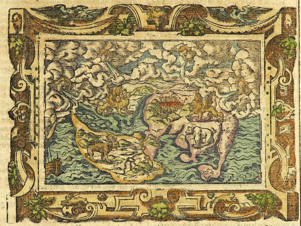
Cosmographia Universalis. 1592
World map by H. Bünting - D.A. Veleslavina.
[Item number: 26356]
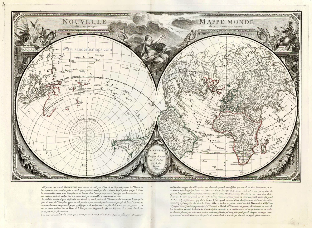
Nouvelle Mappe Monde Dediee au Progres de nos Connoissances. 1776-79
World by Francesco Santini.
[Item number: 26946]

Universi Orbis Descriptio. 1597
World by Giovanni Magini
[Item number: 27837]
The most mystical world map of all time.
[No title] 1560-1600
Daniel's Dream Map. The Wittenberg world map.
[Item number: 28159]
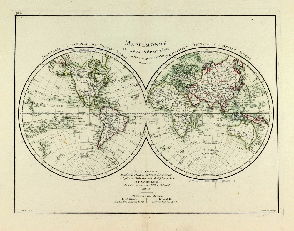
Mappemonde en deux Hémisphères. c. 1797
World map, double hemisphere by Pierre Grégoire Chanlaire.
[Item number: 28209]
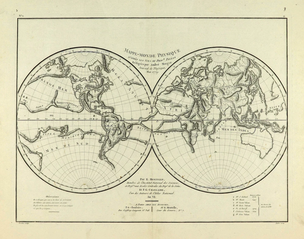
Mappe-Monde Physique. c. 1797
World map, double hemisphere by Pierre Grégoire Chanlaire.
[Item number: 28210]
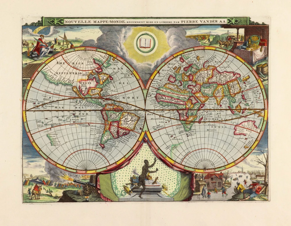
Nouvelle Mappe-Monde, 1710
World by Pieter Van der Aa, double hemisphere.
[Item number: 29136]
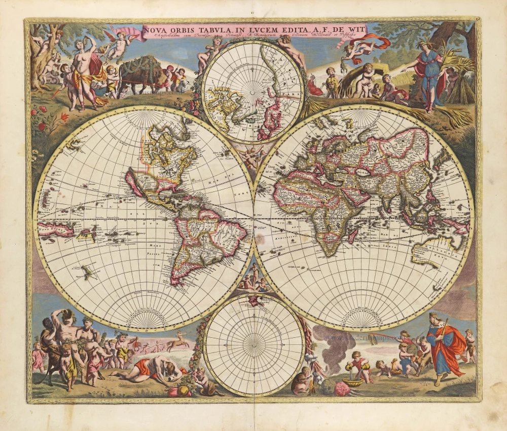
Nova Orbis Tabula in Lucem Edita, A. F. De Wit. c. 1690
World by Frederik De Wit, double hemisphere.
[Item number: 29231]

Mappe-Monde, ou Carte Generale du Monde, 1652
Double hemisphere world map by Nicolas Sanson.
[Item number: 29612]
Mappe-Monde 1766-1780
World map by Louis Brion de la Tour, published by L.C Desnos.
[Item number: 30100]
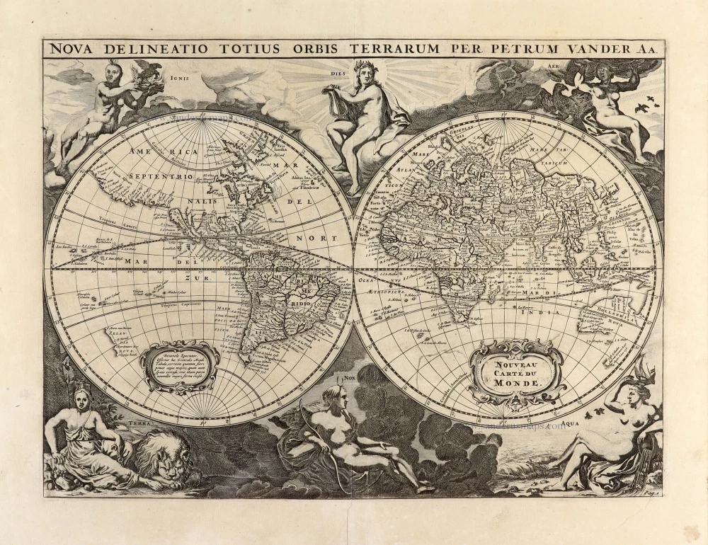
Nova Delineatio Totius Orbis Terrarum per Petrum Van der Aa. - Nouveau Carte du Monde. 1702
World by Pieter Van der Aa - double hemisphere.
[Item number: 30150]

'One of the supreme examples of map maker's art' (Shirley)
Nova Totius Terrarum Orbis Geographica ac Hydrographica. 1643
World by Willem Blaeu, in Mercator projection.
[Item number: 30271]
Rare 1525 edition in nice old colour.
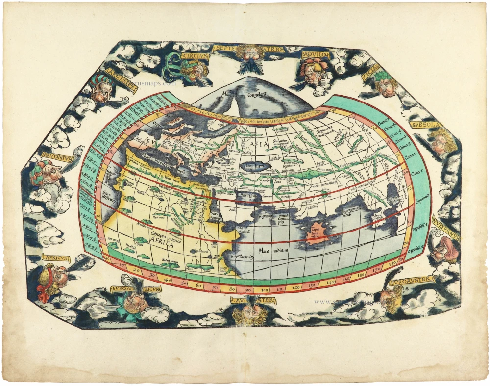
[No title] 1525
Ptolemaic world by Lorenz Fries after Martin Waldseemüller.
[Item number: 30649]