
World map by Louis Brion de la Tour, published by L.C Desnos. 1766-1780

Louis Brion de la Tour (flourished 1756-1803)
French geographer and demographer. 'Ingénieur-géographe du roi. Rue du Petit Pont près la fontaine St. Severin maison de M. Landes. Libraire au 1er'.
Mappe-Monde
Item Number: 30100 Authenticity Guarantee
Category: Antique maps > World
Old, antique world map by Louis Brion de la Tour, published by L.C Desnos.
Title: Mappe-Monde
Dressée pour l'Etude de la Géographie, relativement aux Auteurs les plus Modernes.
Revue, corrigée et augmentée d'apres les Nouv[e]lles Observations Astronomiques de Mrs Tchirikcow et de l'Isle.
Revuë de nouveau par M. Brion Ingenieur Geogr. du Roy.
Dédiée au Roy Par son très humble et très obeissant serviteur et fidel sujet Desnos, Ingénieur Géographe pour les Globes et Sphères.
Rue S. Jacques à l'enseigne du Globe, où l'on trouve géneralement tout ce qui concerne les sciences.
1776 A.P.D.R.
Date: 1766-1780.
Copper engraving, printed on paper.
Image size: 360 x 515mm (14.17 x 20.28 inches).
Sheet size: 440 x 550mm (17.32 x 21.65 inches).
Verso: Blank.
Condition: Original coloured, excellent.
Condition Rating: A+.
From: Atlas générale méthodique et élémentaire ... Paris, L.C. Desnos, 1768 and later editions.
Louis Brion de la Tour (flourished 1756-1803)
French geographer and demographer. 'Ingénieur-géographe du roi. Rue du Petit Pont près la fontaine St. Severin maison de M. Landes. Libraire au 1er'.
Related items

Nouvelle Mappe Monde Dediee au Progres de nos Connoissances. 1776-79
World by Francesco Santini.
[Item number: 26946]

Mappemonde en deux Hémisphères. c. 1797
World map, double hemisphere by Pierre Grégoire Chanlaire.
[Item number: 28209]

Mappe-Monde Physique. c. 1797
World map, double hemisphere by Pierre Grégoire Chanlaire.
[Item number: 28210]
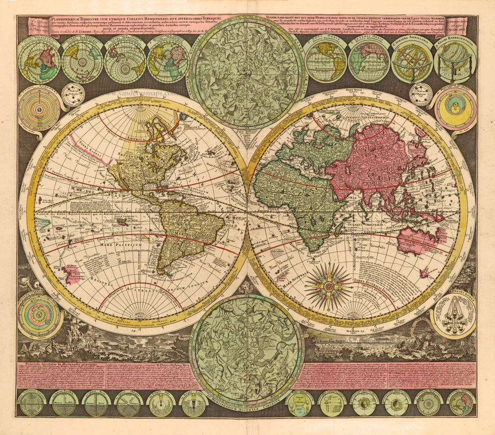
Planisphaerium Terrestre cum utroque Coelesti Hemisphaerio, sive Diversa Orbis Terraquei, c. 1700
World by Zürner A.F., double hemisphere.
[Item number: 28229]
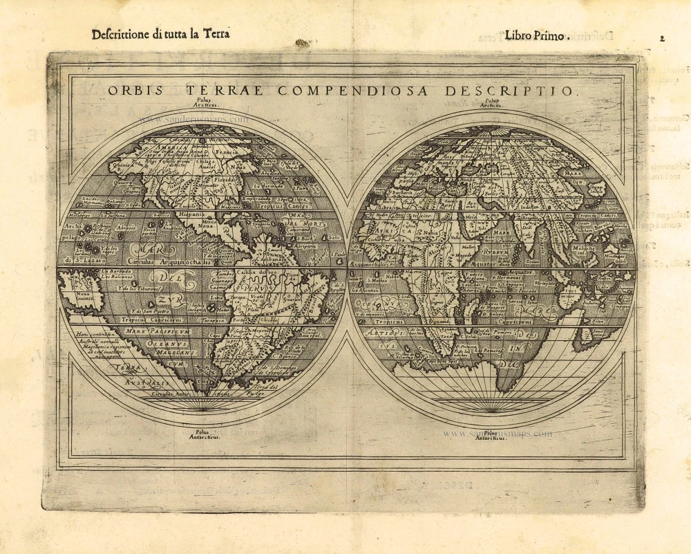
First edition, scarce
Orbis Terrae Compendiosa Descriptio. 1598
World by Giuseppe Rosaccio, double hemisphere.
[Item number: 28289]

Descrittione Del Mappamondo. 1572
World by Porcacchi Tommaso.
[Item number: 28910]
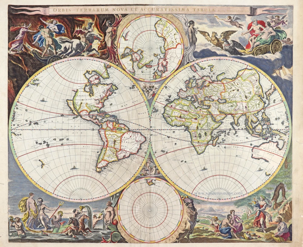
Luxury colouring.
Orbis Terrarum Nova et Accuratissima Tabula. c. 1678
Double-hemisphere world map, by Nicolaas Visscher I.
[Item number: 28934]
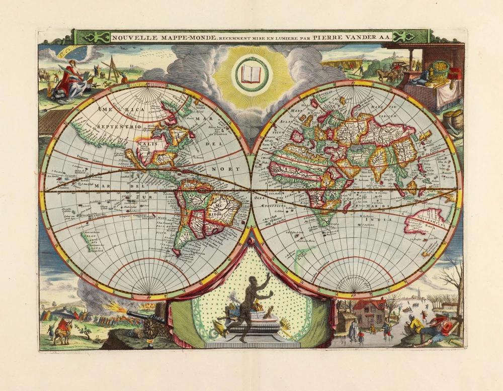
Nouvelle Mappe-Monde, 1710
World by Pieter Van der Aa, double hemisphere.
[Item number: 29136]

Mapmonde ou description generale du Globe Terrestre. 1713
World map by Zacharias Châtelain.
[Item number: 29555]

'One of the supreme examples of map maker's art' (Shirley)
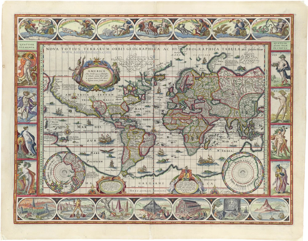
Nova Totius Terrarum Orbis Geographica ac Hydrographica. 1643
World by Willem Blaeu, in Mercator projection.
[Item number: 30271]
Rare 1525 edition in nice old colour.
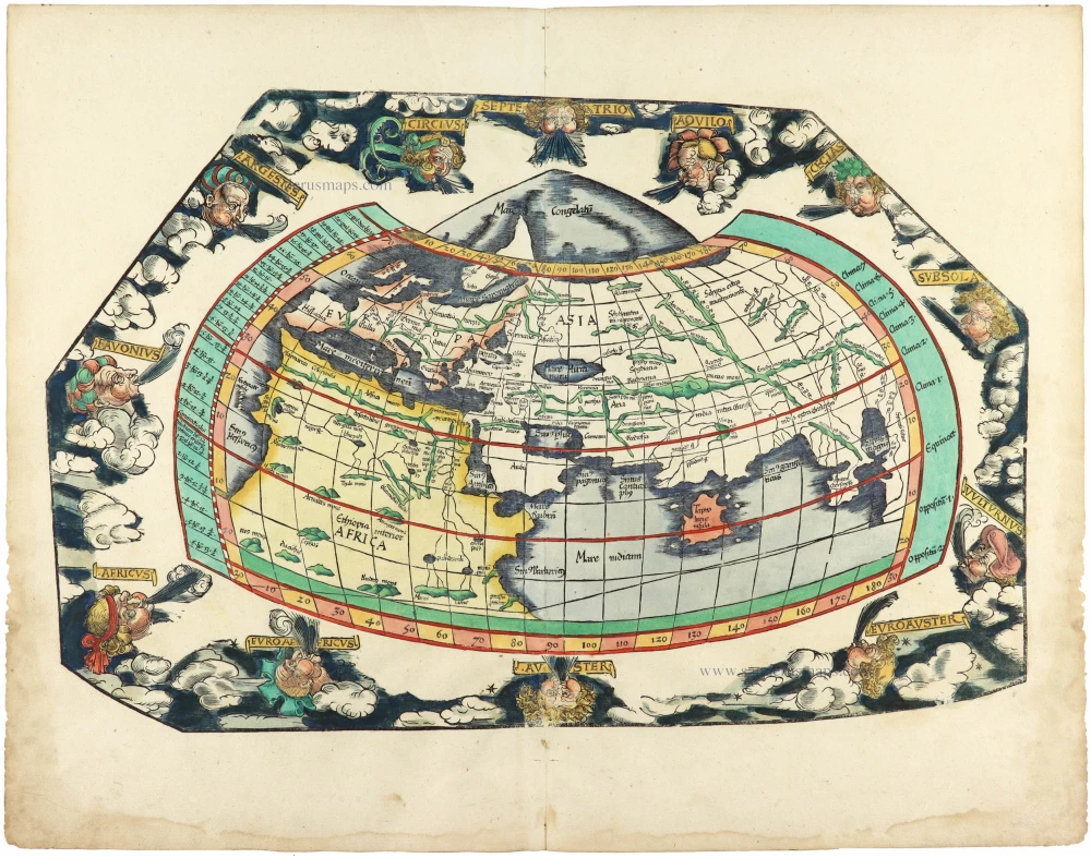
[No title] 1525
Ptolemaic world by Lorenz Fries after Martin Waldseemüller.
[Item number: 30649]

Mappe-Monde Geo-Hydrographique, ou Description Generale du Globe Terrestre et Aquatique en Deux Plans-Hemispheres ... 1692
World map by Nicolas Sanson, so-called published by Hubert Jaillot. (Pirated edition by Pierre Mortier).
[Item number: 31136]

Typus Orbis Terrarum. 1618
World by Petrus Bertius, published by Jodocus Hondius II.
[Item number: 31520]

Gottfried's first edition 1631
[no title] 1631
Willem C. Schouten, world map published by Gottfried.
[Item number: 31560]

Rare first edition
[no title] 1618
World map in two hemispheres by Willem W. Schouten.
[Item number: 31601]

An Essay of a New and Compact Map, containing the known parts of the Terrestrial Globe. 1750
World map by Jacques-Nicolas Bellin, published by A.F. Prévost.
[Item number: 31883]

Beautiful example of this important world map
Typus Orbis Terrarum. 1584
World by Abraham Ortelius.
[Item number: 32090]

Planiglobii Terrestris cum Utroq Hemisphaerio Caelesti Generalis Repraesentatio. c. 1720
World by Homann J.B., double hemisphere.
[Item number: 32099]

Early Mercator projection
Universi Orbis Descriptio Ad Usum Navigantium. 1597
World by Giovanni Magini.
[Item number: 32281]

Carta Marina Nuova Tavola. 1574
World chart by Girolamo Ruscelli.
[Item number: 32432]

Orbis Descriptio. 1574
World in two hemisperes, by Girolamo Ruscelli.
[Item number: 32433]

Rare first state of Danckerts beautiful world map
Nova Totius Terrarum Orbis Tabula.. c. 1680
Double hemisphere world map by Justus Danckerts
[Item number: 32456]

The most mystical world map of all time.
[No title] 1560-1600
Daniel's Dream Map. The Wittenberg world map by Hanss Luft.
[Item number: 32507]
'One of the supreme examples of map maker's art' (Shirley)
Nova Totius Terrarum Orbis Geographica ac Hydrographica. 1635
World by Willem Blaeu, in Mercator projection.
[Item number: 32683]

Mappa Mondo O Vero Carta Generale Del Globo Terestre 1677
World in two hemisphers by Giovanni De Rossi, after Nicolas Sanson.
[Item number: 32885]

Typus Orbis Terrarum. 1618
World by Petrus Bertius.
[Item number: 33183]
new