
Rare first edition
World map in two hemispheres by Willem W. Schouten. 1618

The voyage round the world in 1615-17 under the sailing captainship of Willem Cornelis Schouten and commanded by Jacob Le Maire was first narrated in this small book. It was published in 1618 by Willem Jansz. (Vlaeu) who may well have commissioned the maps. During its circumnavigation, the expedition discovered a new strait off Tierra del Fuego named after Le Maire. They also charted Staten Island nearby and hitherto unknown stretches of the New Guinea coastline.
The world map accompanying the book is a simple double hemispherical one showing the vessel's tracks. Continents are marked in outline, and no southern regions are shown. Above the map are two head-and-shoulder portraits of Ferdinand Magellan and Willem C. Schouten, each flanked by angels bearing laurel wreaths. In the top corners are the two ships of the expedition - the Victoria and the Eendracht - and the borders contain portraits of four other circumnavigators: Francis Drake, Thomas Candish (Cavendish), Olivier van Noort and George van Spilbergen.
The earliest impressions of Schouten's map lack the names of the tropics and the names of the islands of Japan, Banda, St. Helena and the Cape of Good Hope. These were added in the second state, appearing in a French-text version also published by Blaeu from Amsterdam in the same year, 1618.
Willem Cornelisz. Schouten (Hoorn, c. 1567 - 1625)
Dutch navigator for the V.O.C. (Verenigde Oostindische Compagnie - Dutch East India Company). He was the first to sail the Cape Horn route to the Pacific Ocean in an expedition led by Jacob le Maire and sponsored by Isaac Le Maire.
Although he had opened an unknown route (south of Cape Horn) for the Dutch, the VOC claimed infringement of its trade monopoly to the Spice Islands. Schouten was arrested (and later released), and his ship was confiscated in Java. On his return, he would sail again for the VOC, and on one of these trips, he died off the coast of Madagascar in 1625.
[no title]
Item Number: 31601 Authenticity Guarantee
Category: Antique maps > World
World map in two hemispheres by Willem W. Schouten.
[no title]
Date of the first edition: 1618.
Date of this map: 1618.
First edition - first state.
Copper engraving, printed on paper.
Image size: 155 x 225mm (6 x 8¾ inches).
Sheet size: 188 x 240mm (7½ x 9½ inches).
Verso: Blank.
Condition: Excellent.
Condition Rating: A+.
From: Journael ofte Beschrijyvinghe van de wonderlicke reyse gedaen door Willem Cornelisz Schouten van Hoorn, inde Iaren 1615, 1616 en 1617. Amsterdam, W. Blaeu, 1618.
The voyage round the world in 1615-17 under the sailing captainship of Willem Cornelis Schouten and commanded by Jacob Le Maire was first narrated in this small book. It was published in 1618 by Willem Jansz. (Vlaeu) who may well have commissioned the maps. During its circumnavigation, the expedition discovered a new strait off Tierra del Fuego named after Le Maire. They also charted Staten Island nearby and hitherto unknown stretches of the New Guinea coastline.
The world map accompanying the book is a simple double hemispherical one showing the vessel's tracks. Continents are marked in outline, and no southern regions are shown. Above the map are two head-and-shoulder portraits of Ferdinand Magellan and Willem C. Schouten, each flanked by angels bearing laurel wreaths. In the top corners are the two ships of the expedition - the Victoria and the Eendracht - and the borders contain portraits of four other circumnavigators: Francis Drake, Thomas Candish (Cavendish), Olivier van Noort and George van Spilbergen.
The earliest impressions of Schouten's map lack the names of the tropics and the names of the islands of Japan, Banda, St. Helena and the Cape of Good Hope. These were added in the second state, appearing in a French-text version also published by Blaeu from Amsterdam in the same year, 1618.
Willem Cornelisz. Schouten (Hoorn, c. 1567 - 1625)
Dutch navigator for the V.O.C. (Verenigde Oostindische Compagnie - Dutch East India Company). He was the first to sail the Cape Horn route to the Pacific Ocean in an expedition led by Jacob le Maire and sponsored by Isaac Le Maire.
Although he had opened an unknown route (south of Cape Horn) for the Dutch, the VOC claimed infringement of its trade monopoly to the Spice Islands. Schouten was arrested (and later released), and his ship was confiscated in Java. On his return, he would sail again for the VOC, and on one of these trips, he died off the coast of Madagascar in 1625.
Related items
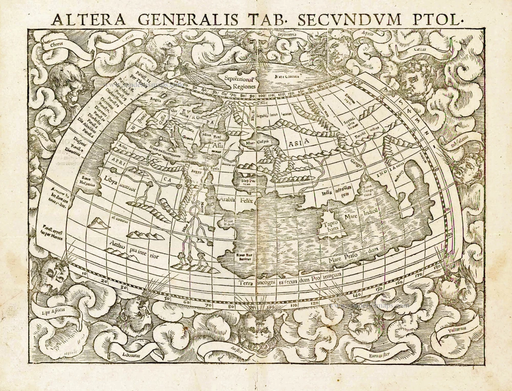
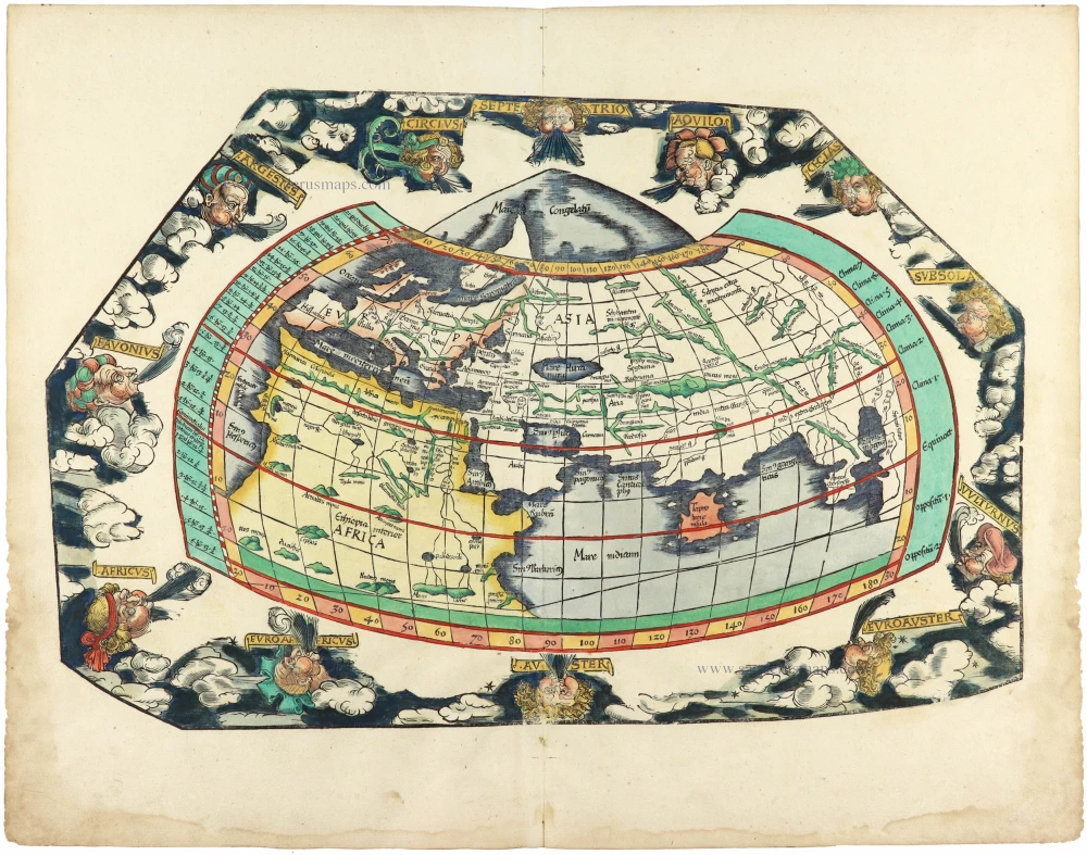
Altera Generalis Tab. Secundum Ptol. 1559
Ptolemaic world by Sebastian Münster
[Item number: 11981]

Aevi Veteris, Typus Geographicus. 1601
Ancient World by Abraham Ortelius.
[Item number: 22609]

Rare variant.
Cosmographia Universalis. 1592
World map by H. Bünting - D.A. Veleslavina.
[Item number: 26356]

Nouvelle Mappe Monde Dediee au Progres de nos Connoissances. 1776-79
World by Francesco Santini.
[Item number: 26946]

Universi Orbis Descriptio. 1597
World by Giovanni Magini
[Item number: 27837]
The most mystical world map of all time.
[No title] 1560-1600
Daniel's Dream Map. The Wittenberg world map.
[Item number: 28159]

Mappemonde en deux Hémisphères. c. 1797
World map, double hemisphere by Pierre Grégoire Chanlaire.
[Item number: 28209]

Mappe-Monde Physique. c. 1797
World map, double hemisphere by Pierre Grégoire Chanlaire.
[Item number: 28210]
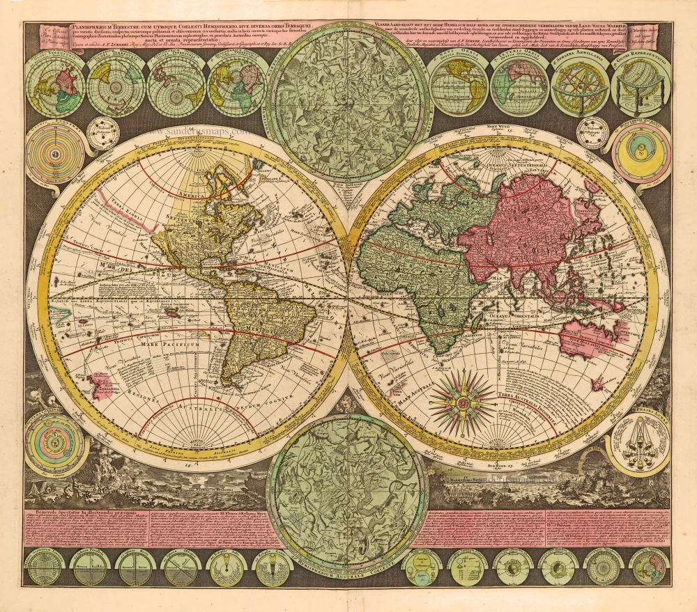
Planisphaerium Terrestre cum utroque Coelesti Hemisphaerio, sive Diversa Orbis Terraquei, c. 1700
World by Zürner A.F., double hemisphere.
[Item number: 28229]
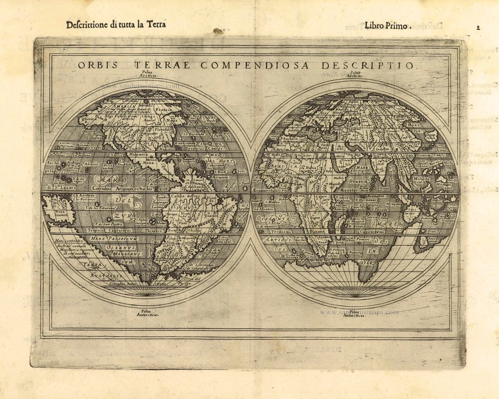
First edition, scarce
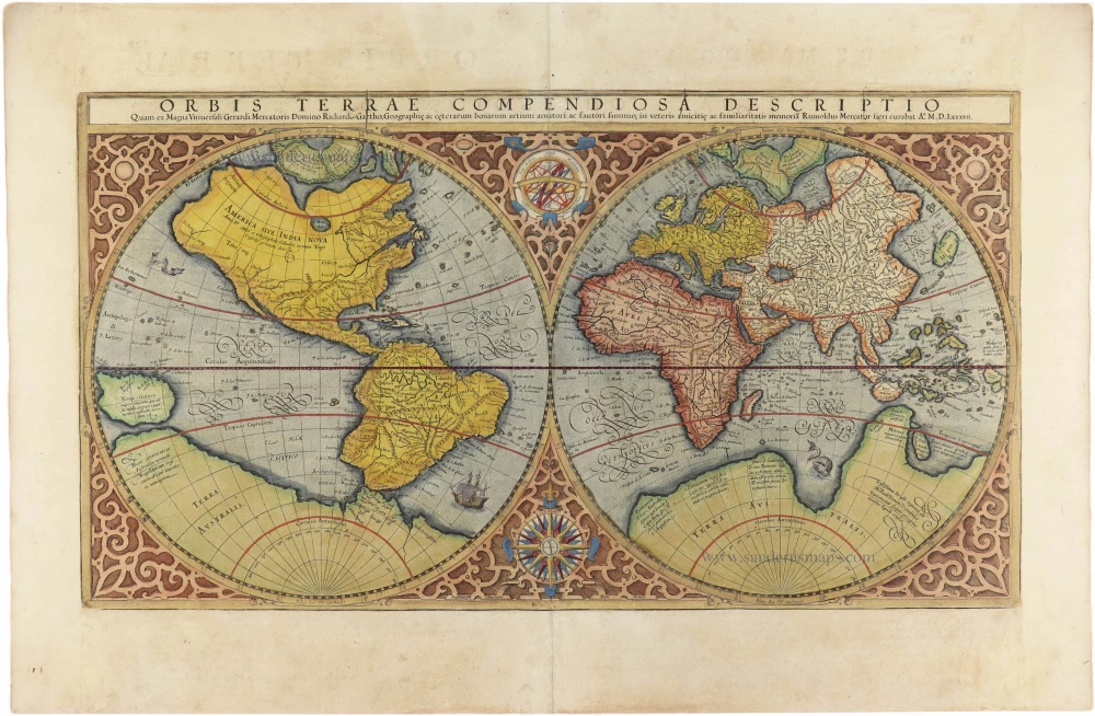
Orbis Terrae Compendiosa Descriptio. 1598
World by Giuseppe Rosaccio, double hemisphere.
[Item number: 28289]

Ptolemaei Cognita. 1598
Ptolemaic world map by Giuseppe Rosaccio.
[Item number: 28290]
The engraving and layout and elegance of decoration are all of the highest standards.
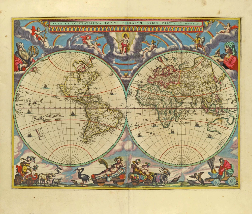
Nova Et Accuratissima Totius Terrarum Orbis Tabula. 1659
World by Joan Blaeu, double hemisphere.
[Item number: 28336]
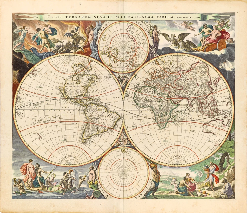
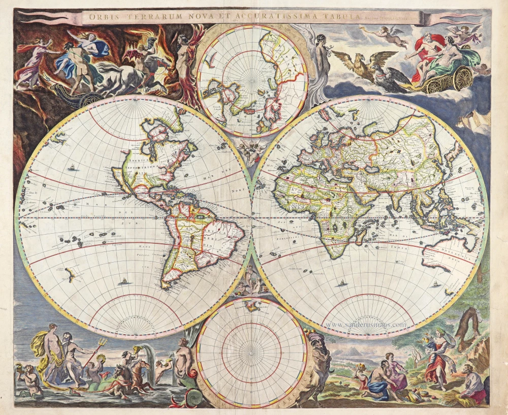
Orbis Terrarum Nova et Accuratissima Tabula. c. 1678
World by Nicolaas Visscher, double hemisphere.
[Item number: 28628]
Luxury colouring.
Orbis Terrarum Nova et Accuratissima Tabula. c. 1678
Double-hemisphere world map, by Nicolaas Visscher I.
[Item number: 28934]
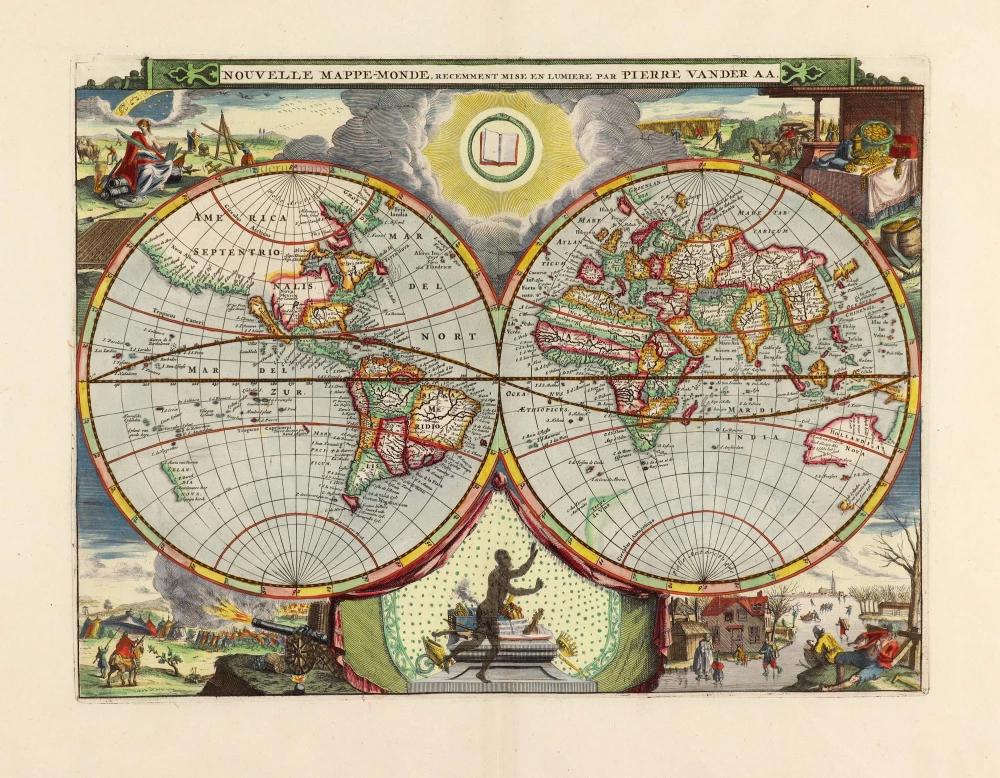
Nouvelle Mappe-Monde, 1710
World by Pieter Van der Aa, double hemisphere.
[Item number: 29136]

Nova Orbis Tabula in Lucem Edita, A. F. De Wit. c. 1690
World by Frederik De Wit, double hemisphere.
[Item number: 29231]

Mapmonde ou description generale du Globe Terrestre. 1713
World map by Zacharias Châtelain.
[Item number: 29555]
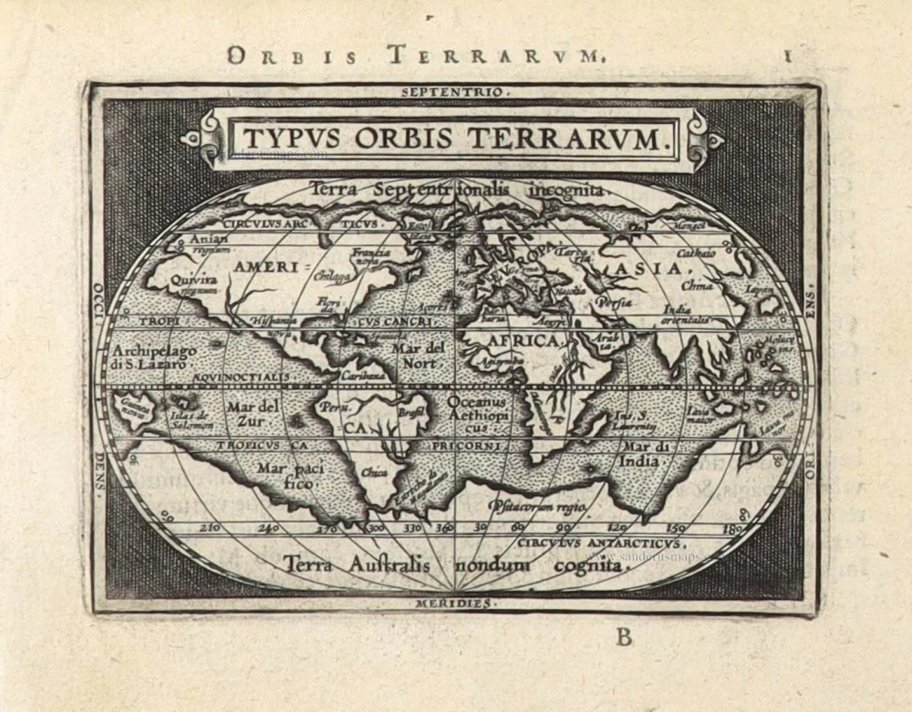
Typus Orbis Terrarum. 1589
The world by Abraham Ortelius / Philippe Galle.
[Item number: 29605]
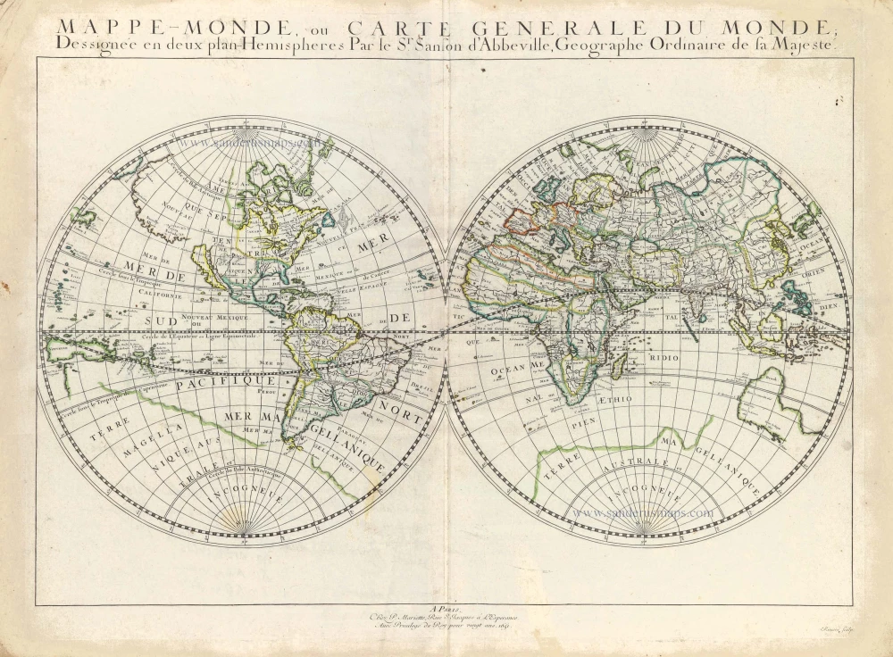
Mappe-Monde, ou Carte Generale du Monde, 1652
Double hemisphere world map by Nicolas Sanson.
[Item number: 29612]

Mercator projection
Discorso Intorno alla Carta da Navigare. 1590
World by Thomaso Porcacchi.
[Item number: 29786]

Rare original colour.
Typus Orbis Terrarum - Globus Terrestris. 1609
Two world maps by A. Ortelius, published by J.B. Vrients.
[Item number: 29861]

Mappe-Monde 1766-1780
World map by Louis Brion de la Tour, published by L.C Desnos.
[Item number: 30100]
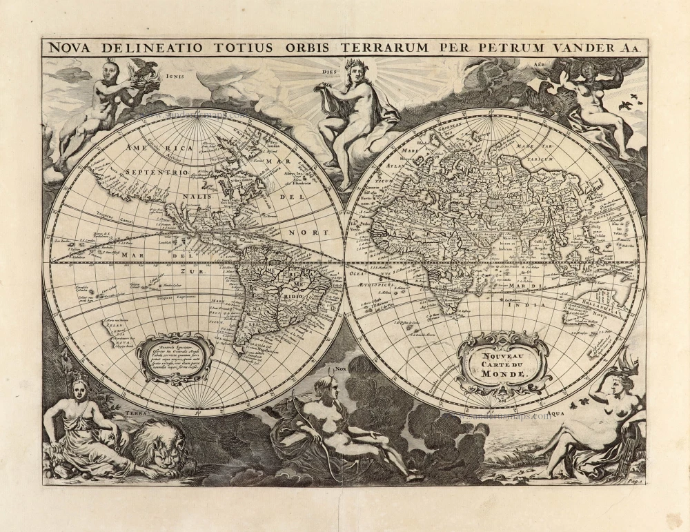
Nova Delineatio Totius Orbis Terrarum per Petrum Van der Aa. - Nouveau Carte du Monde. 1702
World by Pieter Van der Aa - double hemisphere.
[Item number: 30150]

'One of the supreme examples of map maker's art' (Shirley)
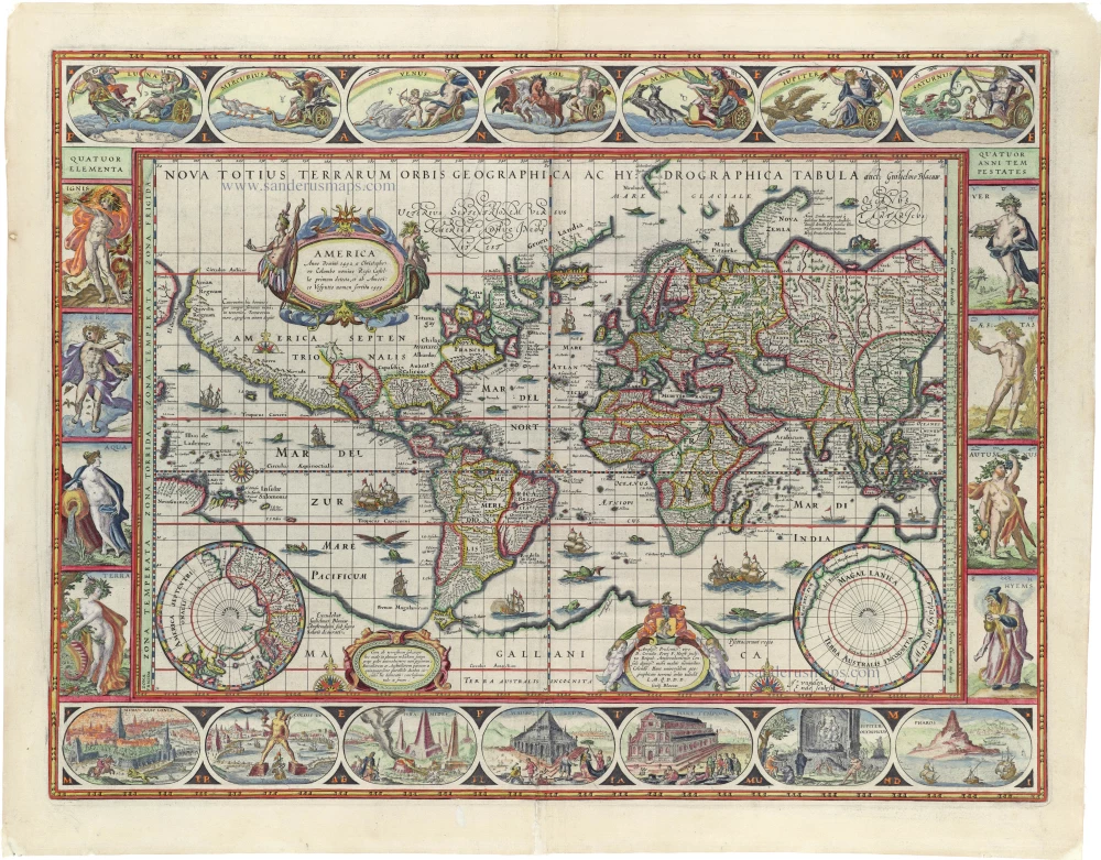
Nova Totius Terrarum Orbis Geographica ac Hydrographica. 1643
World by Willem Blaeu, in Mercator projection.
[Item number: 30271]

Superb old colouring, heightened with gold.
Orbis Terrarum Tabula Recens Emendata Et In Lucem Edita 1714
World - Double Hemisphere, by Daniel Stoopendaal
[Item number: 30635]
Rare 1525 edition in nice old colour.
[No title] 1525
Ptolemaic world by Lorenz Fries after Martin Waldseemüller.
[Item number: 30649]
Rare 1525 edition of the second modern world map by Fries, in nice old colour.
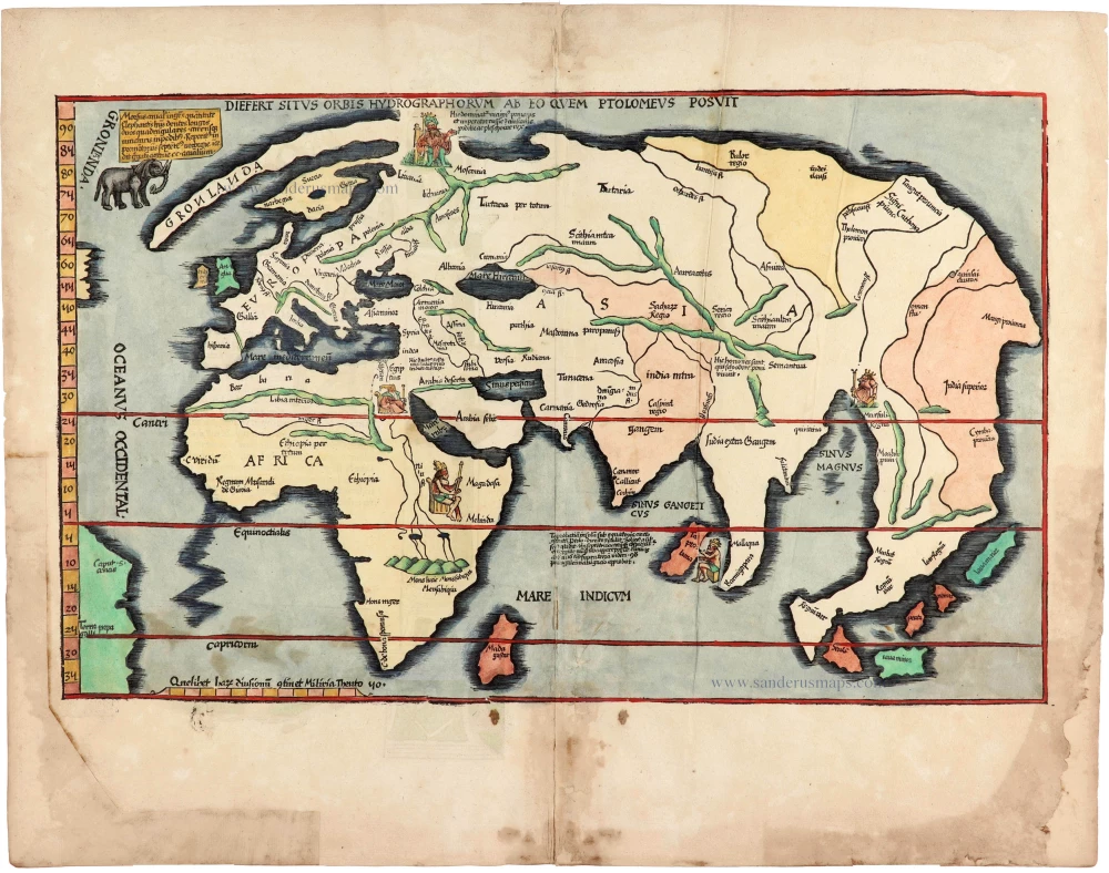
Diefert Situs Orbis Hydrographorum Ab Eo Quem Ptolomeus Posuit. 1525
Modern world map, by Lorenz Fries, after Martin Waldseemüller.
[Item number: 30661]

Heightened in gold and silver
[No title] 1599
World by Theodore De Bry, Great Voyages,
[Item number: 30719]

Drake map heightened in gold and silver
[No title] 1599
World by Theodore De Bry, Great Voyages,
[Item number: 30725]
Orbis Terrae Compendiosa Descriptio. 1613
World by Mercator Rumold, double hemisphere.
[Item number: 30942]

Typus Orbis Terrarum. 1618
World by Petrus Bertius, published by Jodocus Hondius II.
[Item number: 31520]

Gottfried's first edition 1631
[no title] 1631
Willem C. Schouten, world map published by Gottfried.
[Item number: 31560]

An Essay of a New and Compact Map, containing the known parts of the Terrestrial Globe. 1750
World map by Jacques-Nicolas Bellin, published by A.F. Prévost.
[Item number: 31883]

Beautiful example of this important world map
Typus Orbis Terrarum. 1584
World by Abraham Ortelius.
[Item number: 32090]

Planiglobii Terrestris cum Utroq Hemisphaerio Caelesti Generalis Repraesentatio. c. 1720
World by Homann J.B., double hemisphere.
[Item number: 32099]

Early Mercator projection
Universi Orbis Descriptio Ad Usum Navigantium. 1597
World by Giovanni Magini.
[Item number: 32281]
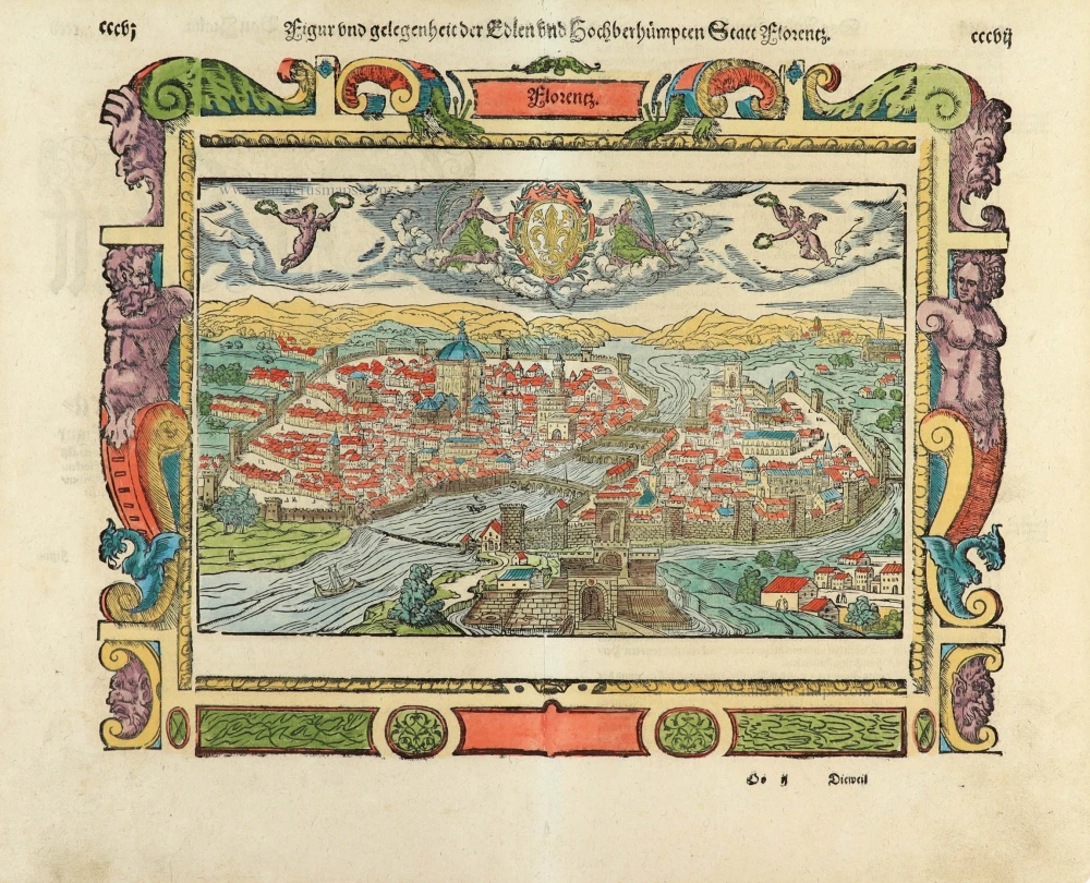
Figur und gelegenheit der Edlen undhochberhümpten Statt Florentz. 1550
Florence (Firenze), by Sebastian Münster.
[Item number: 32429]

Carta Marina Nuova Tavola. 1574
World chart by Girolamo Ruscelli.
[Item number: 32432]

Orbis Descriptio. 1574
World in two hemisperes, by Girolamo Ruscelli.
[Item number: 32433]

Rare first state of Danckerts beautiful world map
Nova Totius Terrarum Orbis Tabula.. c. 1680
Double hemisphere world map by Justus Danckerts
[Item number: 32456]

The most mystical world map of all time.
[No title] 1560-1600
Daniel's Dream Map. The Wittenberg world map by Hanss Luft.
[Item number: 32507]
'One of the supreme examples of map maker's art' (Shirley)
Nova Totius Terrarum Orbis Geographica ac Hydrographica. 1635
World by Willem Blaeu, in Mercator projection.
[Item number: 32683]

Mappa Mondo O Vero Carta Generale Del Globo Terestre 1677
World in two hemisphers by Giovanni De Rossi, after Nicolas Sanson.
[Item number: 32885]

Typus Orbis Terrarum. 1618
World by Petrus Bertius.
[Item number: 33183]
new