
Rare 1525 edition in nice old colour.
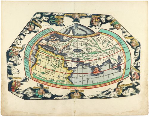
Ptolemaic world by Lorenz Fries after Martin Waldseemüller. 1525

Lorenz Fries* (c. 1485 – 1532)
Lorenz Fries, a physician, astrologer, and cartographic editor, was a native Alsatian. Nothing is known about his youth and early schooling. His university education in philosophy and medicine has been acquired at several schools. He probably attended Vienna, Montpellier, Piacenza, and Pavia. He obtained a Doctor of Arts degree at one of these institutions.
His first professional position was in Sélestat, near Strasbourg. He practised medicine in Colmar from 1514 to 1518. He wrote several medical works, including a practice entitled Spiegel der Artzny (Mirror of Medicine), a trendy book with seven editions up to 1546. After 1519, he moved to Strasbourg, where he stayed until about 1527.
In 1520, Fries became involved in publishing new editions of maps by Martin Waldseemüller. He collaborated with Peter Apian to publish a much-reduced version of Waldseemüller's map of 1507.
In the meantime, Fries was preparing a new edition of Ptolemy's Geographia. The book was printed in 1522 by Johannes Grüninger, an esteemed printer from Strasbourg who had previously published the Waldseemüller. It was based on Waldseemüller's editions of 1513 and 1520. Fries says in a note to the reader: "…, we declare that Martin Waldseemüller, piously deceased, originally constructed these maps and that they have been drawn in a format smaller than they ever had". The book sold well, and new editions would follow, printed with the same woodblocks.
In 1525, Willibald Pirkheimer, the Nuremberg humanist, published a new edition with Grüninger. The volume was published jointly with the Nuremberg printer Johannes Koberger. It included the same fifty Waldseemüller/Fries maps as the 1522 edition.
Michael Servetus (= Michael Villanovus) printed two more editions in Lyon in 1535 and 1541. Servetus was tried for heresy in 1553. One of the allegations was that he had written a statement on the verso of the map of the Holy Land describing it as primarily infertile. The idea originated in Fries's edition in 1522. Servetus was burned at the stake, and at Calvin's orders, many copies of Servetus's books followed him into the flames.
Fries also published other books on astrology and medicine. In addition, he undertook a reduction of Waldseemüller's large map of 1516, the Carta Marina Navigatoria, which he translated into German simultaneously. The map was published in 1525, but no copy of this edition survived. The earliest copy known is dated 1530.
In 1525, Strasbourg had become a thoroughly reformed city, and the Roman church's adherents found themselves increasingly unwelcome. For this reason, Fries probably renounced his citizenship and moved to Metz. During this period, he published his last two medical works.
*He should be distinct from the historian Lorenz Fries of Mergentheim (1491-1550).
Martin Waldseemüller (Ilacomilus) (c. 1473-1519)
Martin Walseemüller and his collaborator, Matthias Ringmann, are credited with the first recorded usage of the word America to name the New World in honour of the Italian explorer Amerigo Vespucci.
He was born about 1475, most probably in the village of Wolfenweiler near Freiburg in Breisgau (southern Germany). He studied at the University of Freiburg, where he met Johann Scott, the future printer of Waldseemüller’s edition of Ptolemy and Matthias Ringman, a poet who wrote Waldseemüller’s texts. Gregor Reisch was their tutor. He was noted for his philosophical work, Margaretha Philosophica (1503), a widely read book that included a world map in Ptolemaic form. He undoubtedly aroused the students’ interest in cosmography.
At the beginning of the 16th century, Walseemüller moved to St.Dié in the Vosges. He Hellenized his name to Ilacomilus and worked on an edition of Ptolemy. He learned the printing trade in Basle and became a professor of cosmography under the patronage of René II, Duke of Lorraine.
Together with a group of scholars, among them were Nicholas Lud and Matthias Ringmann, they installed a printing press in St. Dié. The first book appeared in 1507: Cosmographiae Introductio… Few books have generated as much interest and speculation as this book because it suggested that the new continent is named America in honour of Amerigo Vespucci, whose letters about his American “discoveries” form a large part of the book. Great interest was also attached to the two maps on the title page constituting part of the Cosmographiae Introductio: a large 12-panel wall map of the world and a set of globe gores. The map and globe were notable for showing the New World as a continent separate from Asia and naming the southern landmass America.
Ringmann wrote the Cosmographiae Introductio's text, using the name ‘America’. He died in 1511, and by then, Waldseemüller was having doubts about the name they had coined.
In 1511, Walseemüller published the Carta Itineraria Europae, a road map of Europe that showed essential trade routes and pilgrim routes from central Europe to Santiago de Compostela, Spain. It was the first printed wall map of Europe.
After Ringmann’s death, Waldseemüller concentrated on the new version of Ptolemy’s Geographia. Johannes Scott finally printed the new edition in 1513 in Strasbourg, and it is now regarded as the most important. Waldseemüller included twenty modern maps in the new Geographia as a separate appendix.
The 1507 wall map was lost for a long time, but Joseph Fischer found a copy in Schloss Wolfegg in southern Germany in 1901. It is the only known copy purchased by the United States Library of Congress in May 2003.
Claudius Ptolemy (c.100 – c.170 AD)
[No title]
Item Number: 30649 Authenticity Guarantee
Category: Antique maps > World
Old, antique map of the Ptolemaic World by Lorenz Fries.
[No title]
Cartographer: Martin Waldseemüller.
Date of the first edition: 1522.
Date of this map: 1525.
This is the first edition of the map with the decorative border. This border is absent in the 1522 edition.
Woodcut, printed on paper.
Size (not including margins): 310 x 465mm (12.2 x 18.31 inches).
Verso: Blank
Condition: Original coloured, excellent.
Condition Rating: A+.
References: Shirley (World), #47; Karrow 28/28
From: L. Fries, Opus Geographiae. Strasbourg, J. Grüninger, 1525. (Karrow, 28/G.1; Shirley (Brit. Lib.), T.PTOL.7b))
Lorenz Fries* (c. 1485 – 1532)
Lorenz Fries, a physician, astrologer, and cartographic editor, was a native Alsatian. Nothing is known about his youth and early schooling. His university education in philosophy and medicine has been acquired at several schools. He probably attended Vienna, Montpellier, Piacenza, and Pavia. He obtained a Doctor of Arts degree at one of these institutions.
His first professional position was in Sélestat, near Strasbourg. He practised medicine in Colmar from 1514 to 1518. He wrote several medical works, including a practice entitled Spiegel der Artzny (Mirror of Medicine), a trendy book with seven editions up to 1546. After 1519, he moved to Strasbourg, where he stayed until about 1527.
In 1520, Fries became involved in publishing new editions of maps by Martin Waldseemüller. He collaborated with Peter Apian to publish a much-reduced version of Waldseemüller's map of 1507.
In the meantime, Fries was preparing a new edition of Ptolemy's Geographia. The book was printed in 1522 by Johannes Grüninger, an esteemed printer from Strasbourg who had previously published the Waldseemüller. It was based on Waldseemüller's editions of 1513 and 1520. Fries says in a note to the reader: "…, we declare that Martin Waldseemüller, piously deceased, originally constructed these maps and that they have been drawn in a format smaller than they ever had". The book sold well, and new editions would follow, printed with the same woodblocks.
In 1525, Willibald Pirkheimer, the Nuremberg humanist, published a new edition with Grüninger. The volume was published jointly with the Nuremberg printer Johannes Koberger. It included the same fifty Waldseemüller/Fries maps as the 1522 edition.
Michael Servetus (= Michael Villanovus) printed two more editions in Lyon in 1535 and 1541. Servetus was tried for heresy in 1553. One of the allegations was that he had written a statement on the verso of the map of the Holy Land describing it as primarily infertile. The idea originated in Fries's edition in 1522. Servetus was burned at the stake, and at Calvin's orders, many copies of Servetus's books followed him into the flames.
Fries also published other books on astrology and medicine. In addition, he undertook a reduction of Waldseemüller's large map of 1516, the Carta Marina Navigatoria, which he translated into German simultaneously. The map was published in 1525, but no copy of this edition survived. The earliest copy known is dated 1530.
In 1525, Strasbourg had become a thoroughly reformed city, and the Roman church's adherents found themselves increasingly unwelcome. For this reason, Fries probably renounced his citizenship and moved to Metz. During this period, he published his last two medical works.
*He should be distinct from the historian Lorenz Fries of Mergentheim (1491-1550).
Martin Waldseemüller (Ilacomilus) (c. 1473-1519)
Martin Walseemüller and his collaborator, Matthias Ringmann, are credited with the first recorded usage of the word America to name the New World in honour of the Italian explorer Amerigo Vespucci.
He was born about 1475, most probably in the village of Wolfenweiler near Freiburg in Breisgau (southern Germany). He studied at the University of Freiburg, where he met Johann Scott, the future printer of Waldseemüller’s edition of Ptolemy and Matthias Ringman, a poet who wrote Waldseemüller’s texts. Gregor Reisch was their tutor. He was noted for his philosophical work, Margaretha Philosophica (1503), a widely read book that included a world map in Ptolemaic form. He undoubtedly aroused the students’ interest in cosmography.
At the beginning of the 16th century, Walseemüller moved to St.Dié in the Vosges. He Hellenized his name to Ilacomilus and worked on an edition of Ptolemy. He learned the printing trade in Basle and became a professor of cosmography under the patronage of René II, Duke of Lorraine.
Together with a group of scholars, among them were Nicholas Lud and Matthias Ringmann, they installed a printing press in St. Dié. The first book appeared in 1507: Cosmographiae Introductio… Few books have generated as much interest and speculation as this book because it suggested that the new continent is named America in honour of Amerigo Vespucci, whose letters about his American “discoveries” form a large part of the book. Great interest was also attached to the two maps on the title page constituting part of the Cosmographiae Introductio: a large 12-panel wall map of the world and a set of globe gores. The map and globe were notable for showing the New World as a continent separate from Asia and naming the southern landmass America.
Ringmann wrote the Cosmographiae Introductio's text, using the name ‘America’. He died in 1511, and by then, Waldseemüller was having doubts about the name they had coined.
In 1511, Walseemüller published the Carta Itineraria Europae, a road map of Europe that showed essential trade routes and pilgrim routes from central Europe to Santiago de Compostela, Spain. It was the first printed wall map of Europe.
After Ringmann’s death, Waldseemüller concentrated on the new version of Ptolemy’s Geographia. Johannes Scott finally printed the new edition in 1513 in Strasbourg, and it is now regarded as the most important. Waldseemüller included twenty modern maps in the new Geographia as a separate appendix.
The 1507 wall map was lost for a long time, but Joseph Fischer found a copy in Schloss Wolfegg in southern Germany in 1901. It is the only known copy purchased by the United States Library of Congress in May 2003.
Claudius Ptolemy (c.100 – c.170 AD)
Related items
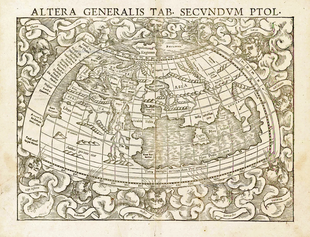
Altera Generalis Tab. Secundum Ptol. 1559
Ptolemaic world by Sebastian Münster
[Item number: 11981]

Aevi Veteris, Typus Geographicus. 1601
Ancient World by Abraham Ortelius.
[Item number: 22609]

Rare variant.
Cosmographia Universalis. 1592
World map by H. Bünting - D.A. Veleslavina.
[Item number: 26356]

Nouvelle Mappe Monde Dediee au Progres de nos Connoissances. 1776-79
World by Francesco Santini.
[Item number: 26946]

Universi Orbis Descriptio. 1597
World by Giovanni Magini
[Item number: 27837]

Mappemonde en deux Hémisphères. c. 1797
World map, double hemisphere by Pierre Grégoire Chanlaire.
[Item number: 28209]

Mappe-Monde Physique. c. 1797
World map, double hemisphere by Pierre Grégoire Chanlaire.
[Item number: 28210]
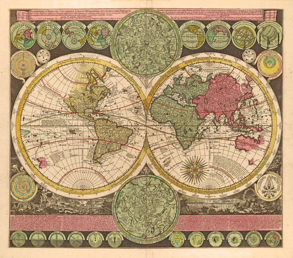
Planisphaerium Terrestre cum utroque Coelesti Hemisphaerio, sive Diversa Orbis Terraquei, c. 1700
World by Zürner A.F., double hemisphere.
[Item number: 28229]
First edition, scarce
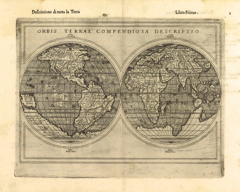
Orbis Terrae Compendiosa Descriptio. 1598
World by Giuseppe Rosaccio, double hemisphere.
[Item number: 28289]
The engraving and layout and elegance of decoration are all of the highest standards.
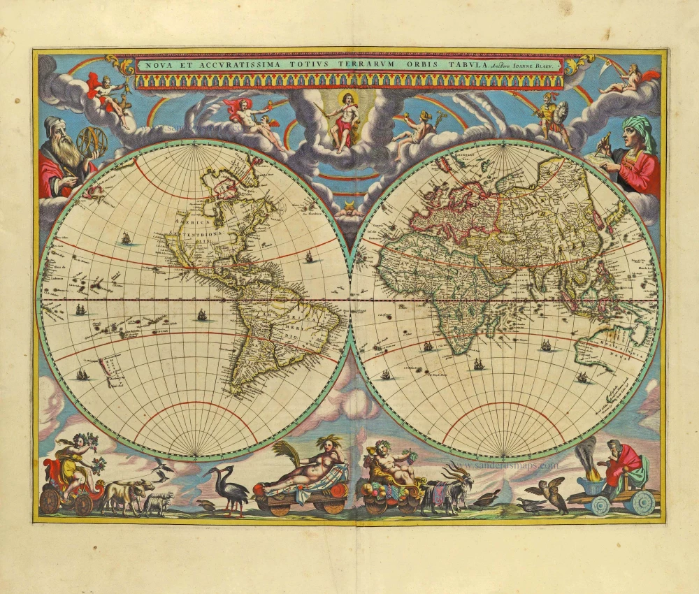
Nova Et Accuratissima Totius Terrarum Orbis Tabula. 1659
World by Joan Blaeu, double hemisphere.
[Item number: 28336]
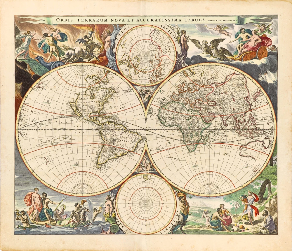
Orbis Terrarum Nova et Accuratissima Tabula. c. 1678
World by Nicolaas Visscher, double hemisphere.
[Item number: 28628]

A fine ornate example of the decorative cartography of the time.
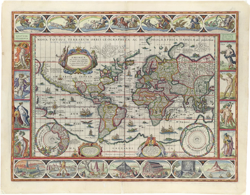
Nova Totius Terrarum Orbis Geographica ac Hydrographica Tabula. Auct: Henr: Hondio. 1641
Double-hemisphere world map by Henricus Hondius.
[Item number: 28768]

Descrittione Del Mappamondo. 1572
World by Porcacchi Tommaso.
[Item number: 28910]
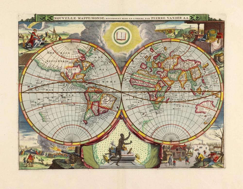
Nouvelle Mappe-Monde, 1710
World by Pieter Van der Aa, double hemisphere.
[Item number: 29136]
Superb world set.
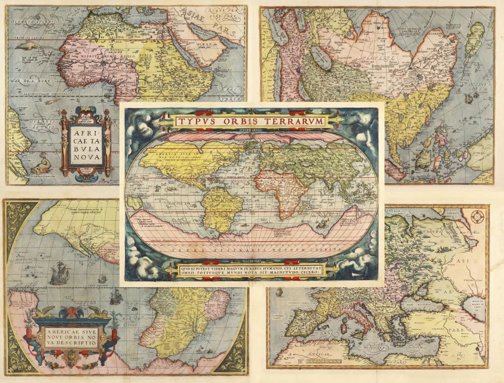
Typus Orbis Terrarum [in set with] Africae Tabula Nova [and] Americae sive Novi Orbis, Nova Descriptio [and] Asiae Nova Descriptio [and] Europae. 1584
Abraham Ortelius, 1584 World and Continents
[Item number: 29259]

Mapmonde ou description generale du Globe Terrestre. 1713
World map by Zacharias Châtelain.
[Item number: 29555]
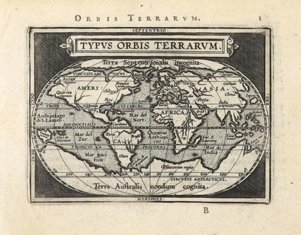
Typus Orbis Terrarum. 1589
The world by Abraham Ortelius / Philippe Galle.
[Item number: 29605]
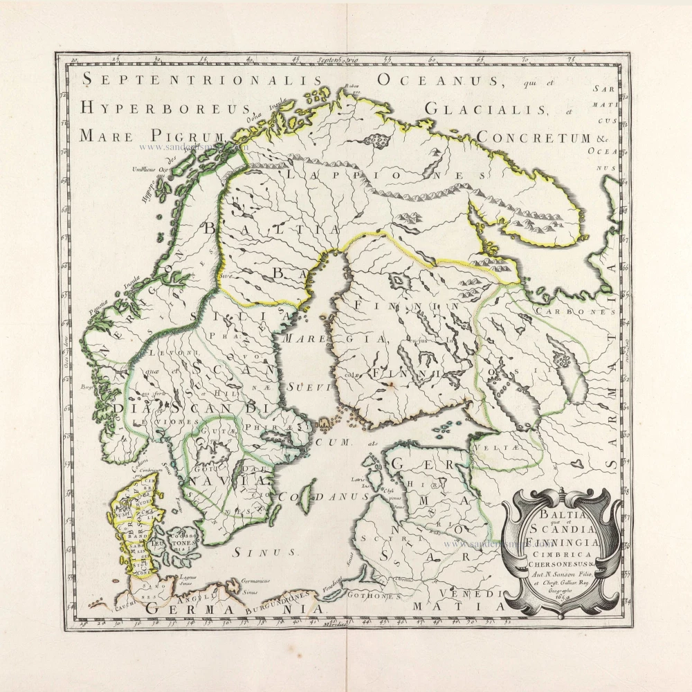
Baltia, quae et Scandia, Cimbrica Chersonesus &c. 1654-58
Scandinavia by Nicolas Sanson.
[Item number: 29608]

Mercator projection
Discorso Intorno alla Carta da Navigare. 1590
World by Thomaso Porcacchi.
[Item number: 29786]

Rare original colour.
Typus Orbis Terrarum - Globus Terrestris. 1609
Two world maps by A. Ortelius, published by J.B. Vrients.
[Item number: 29861]

Mappe-Monde 1766-1780
World map by Louis Brion de la Tour, published by L.C Desnos.
[Item number: 30100]
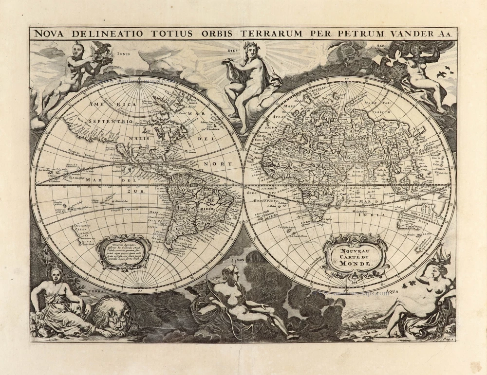
Nova Delineatio Totius Orbis Terrarum per Petrum Van der Aa. - Nouveau Carte du Monde. 1702
World by Pieter Van der Aa - double hemisphere.
[Item number: 30150]

'One of the supreme examples of map maker's art' (Shirley)
Nova Totius Terrarum Orbis Geographica ac Hydrographica. 1643
World by Willem Blaeu, in Mercator projection.
[Item number: 30271]
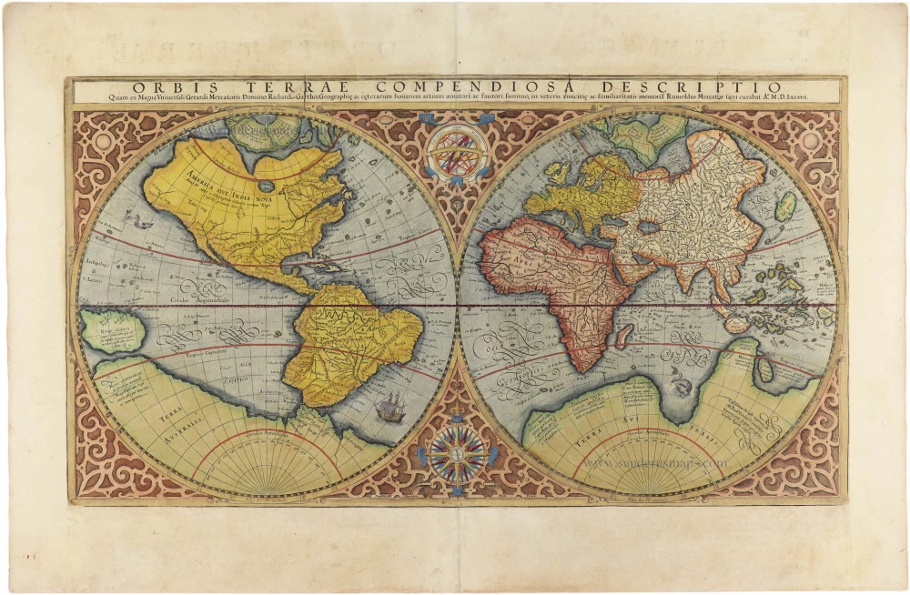
Orbis Terrae Compendiosa Descriptio. 1613
World by Mercator Rumold, double hemisphere.
[Item number: 30942]

Mappe-Monde Geo-Hydrographique, ou Description Generale du Globe Terrestre et Aquatique en Deux Plans-Hemispheres ... 1692
World map by Nicolas Sanson, so-called published by Hubert Jaillot. (Pirated edition by Pierre Mortier).
[Item number: 31136]

Typus Orbis Terrarum. 1618
World by Petrus Bertius, published by Jodocus Hondius II.
[Item number: 31520]

Gottfried's first edition 1631
[no title] 1631
Willem C. Schouten, world map published by Gottfried.
[Item number: 31560]

Rare first edition
[no title] 1618
World map in two hemispheres by Willem W. Schouten.
[Item number: 31601]

An Essay of a New and Compact Map, containing the known parts of the Terrestrial Globe. 1750
World map by Jacques-Nicolas Bellin, published by A.F. Prévost.
[Item number: 31883]

Beautiful example of this important world map
Typus Orbis Terrarum. 1584
World by Abraham Ortelius.
[Item number: 32090]

Planiglobii Terrestris cum Utroq Hemisphaerio Caelesti Generalis Repraesentatio. c. 1720
World by Homann J.B., double hemisphere.
[Item number: 32099]

Early Mercator projection
Universi Orbis Descriptio Ad Usum Navigantium. 1597
World by Giovanni Magini.
[Item number: 32281]

Carta Marina Nuova Tavola. 1574
World chart by Girolamo Ruscelli.
[Item number: 32432]

Orbis Descriptio. 1574
World in two hemisperes, by Girolamo Ruscelli.
[Item number: 32433]

Rare first state of Danckerts beautiful world map
Nova Totius Terrarum Orbis Tabula.. c. 1680
Double hemisphere world map by Justus Danckerts
[Item number: 32456]

The most mystical world map of all time.
[No title] 1560-1600
Daniel's Dream Map. The Wittenberg world map by Hanss Luft.
[Item number: 32507]
'One of the supreme examples of map maker's art' (Shirley)
Nova Totius Terrarum Orbis Geographica ac Hydrographica. 1635
World by Willem Blaeu, in Mercator projection.
[Item number: 32683]

Mappa Mondo O Vero Carta Generale Del Globo Terestre 1677
World in two hemisphers by Giovanni De Rossi, after Nicolas Sanson.
[Item number: 32885]