
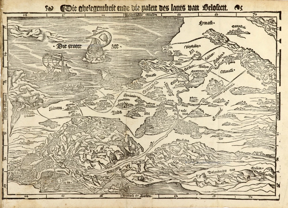
Holy Land, by Lorenz Fries. 1525
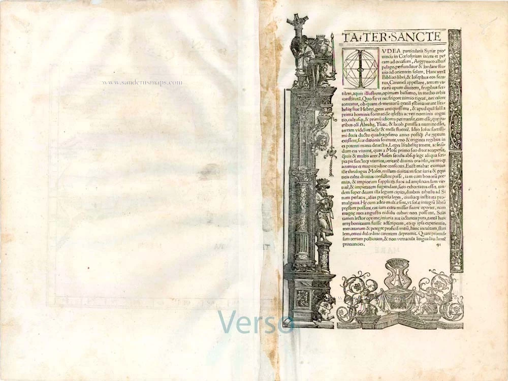


On the reverse, the text is contained within elaborate Renaissance woodcut panels, which may have been designed by Albrecht Dürer, the known contributor to diagrams elsewhere in the atlas.
Lorenz Fries* (c. 1485 – 1532)
Lorenz Fries, a physician, astrologer, and cartographic editor, was a native Alsatian. Nothing is known about his youth and early schooling. His university education in philosophy and medicine has been acquired at several schools. He probably attended Vienna, Montpellier, Piacenza, and Pavia. He obtained a Doctor of Arts degree at one of these institutions.
His first professional position was in Sélestat, near Strasbourg. He practised medicine in Colmar from 1514 to 1518. He wrote several medical works, including a practice entitled Spiegel der Artzny (Mirror of Medicine), a trendy book with seven editions up to 1546. After 1519, he moved to Strasbourg, where he stayed until about 1527.
In 1520, Fries became involved in publishing new editions of maps by Martin Waldseemüller. He collaborated with Peter Apian to publish a much-reduced version of Waldseemüller's map of 1507.
In the meantime, Fries was preparing a new edition of Ptolemy's Geographia. The book was printed in 1522 by Johannes Grüninger, an esteemed printer from Strasbourg who had previously published the Waldseemüller. It was based on Waldseemüller's editions of 1513 and 1520. Fries says in a note to the reader: "…, we declare that Martin Waldseemüller, piously deceased, originally constructed these maps and that they have been drawn in a format smaller than they ever had". The book sold well, and new editions would follow, printed with the same woodblocks.
In 1525, Willibald Pirkheimer, the Nuremberg humanist, published a new edition with Grüninger. The volume was published jointly with the Nuremberg printer Johannes Koberger. It included the same fifty Waldseemüller/Fries maps as the 1522 edition.
Michael Servetus (= Michael Villanovus) printed two more editions in Lyon in 1535 and 1541. Servetus was tried for heresy in 1553. One of the allegations was that he had written a statement on the verso of the map of the Holy Land describing it as primarily infertile. The idea originated in Fries's edition in 1522. Servetus was burned at the stake, and at Calvin's orders, many copies of Servetus's books followed him into the flames.
Fries also published other books on astrology and medicine. In addition, he undertook a reduction of Waldseemüller's large map of 1516, the Carta Marina Navigatoria, which he translated into German simultaneously. The map was published in 1525, but no copy of this edition survived. The earliest copy known is dated 1530.
In 1525, Strasbourg had become a thoroughly reformed city, and the Roman church's adherents found themselves increasingly unwelcome. For this reason, Fries probably renounced his citizenship and moved to Metz. During this period, he published his last two medical works.
*He should be distinct from the historian Lorenz Fries of Mergentheim (1491-1550).
Martin Waldseemüller (Ilacomilus) (c. 1473-1519)
Martin Walseemüller and his collaborator, Matthias Ringmann, are credited with the first recorded usage of the word America to name the New World in honour of the Italian explorer Amerigo Vespucci.
He was born about 1475, most probably in the village of Wolfenweiler near Freiburg in Breisgau (southern Germany). He studied at the University of Freiburg, where he met Johann Scott, the future printer of Waldseemüller’s edition of Ptolemy and Matthias Ringman, a poet who wrote Waldseemüller’s texts. Gregor Reisch was their tutor. He was noted for his philosophical work, Margaretha Philosophica (1503), a widely read book that included a world map in Ptolemaic form. He undoubtedly aroused the students’ interest in cosmography.
At the beginning of the 16th century, Walseemüller moved to St.Dié in the Vosges. He Hellenized his name to Ilacomilus and worked on an edition of Ptolemy. He learned the printing trade in Basle and became a professor of cosmography under the patronage of René II, Duke of Lorraine.
Together with a group of scholars, among them were Nicholas Lud and Matthias Ringmann, they installed a printing press in St. Dié. The first book appeared in 1507: Cosmographiae Introductio… Few books have generated as much interest and speculation as this book because it suggested that the new continent is named America in honour of Amerigo Vespucci, whose letters about his American “discoveries” form a large part of the book. Great interest was also attached to the two maps on the title page constituting part of the Cosmographiae Introductio: a large 12-panel wall map of the world and a set of globe gores. The map and globe were notable for showing the New World as a continent separate from Asia and naming the southern landmass America.
Ringmann wrote the Cosmographiae Introductio's text, using the name ‘America’. He died in 1511, and by then, Waldseemüller was having doubts about the name they had coined.
In 1511, Walseemüller published the Carta Itineraria Europae, a road map of Europe that showed essential trade routes and pilgrim routes from central Europe to Santiago de Compostela, Spain. It was the first printed wall map of Europe.
After Ringmann’s death, Waldseemüller concentrated on the new version of Ptolemy’s Geographia. Johannes Scott finally printed the new edition in 1513 in Strasbourg, and it is now regarded as the most important. Waldseemüller included twenty modern maps in the new Geographia as a separate appendix.
The 1507 wall map was lost for a long time, but Joseph Fischer found a copy in Schloss Wolfegg in southern Germany in 1901. It is the only known copy purchased by the United States Library of Congress in May 2003.
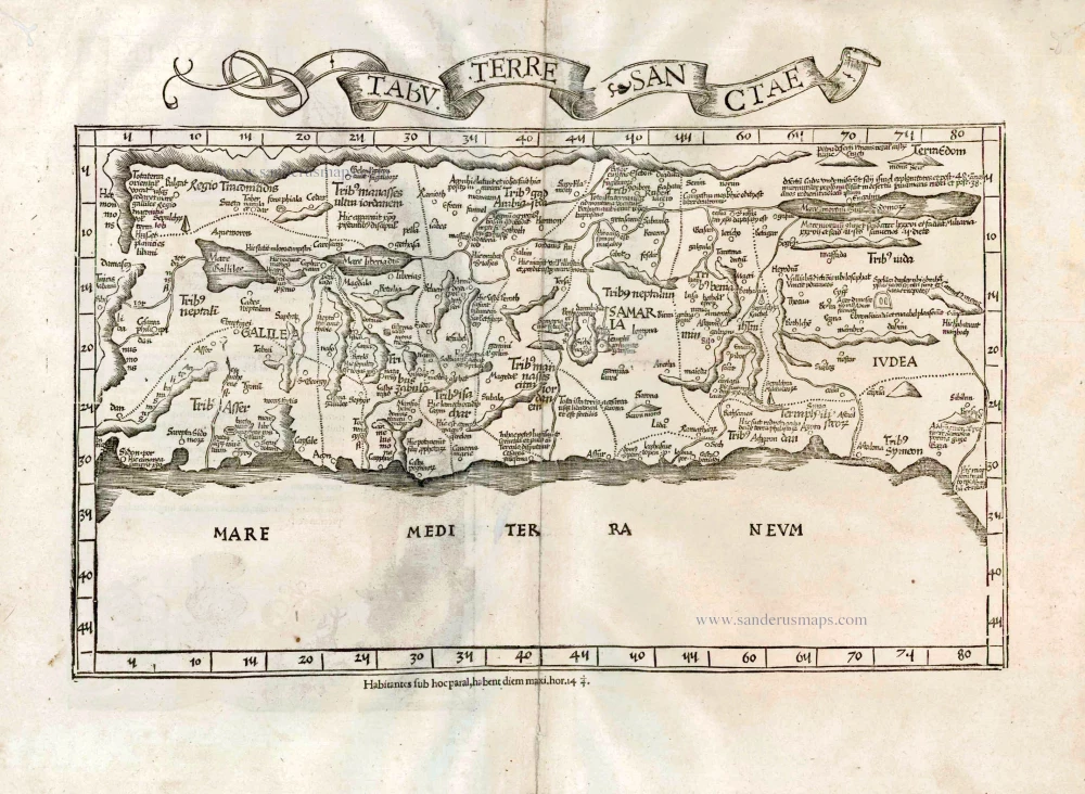
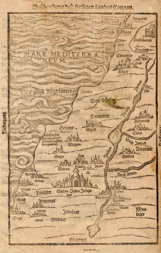
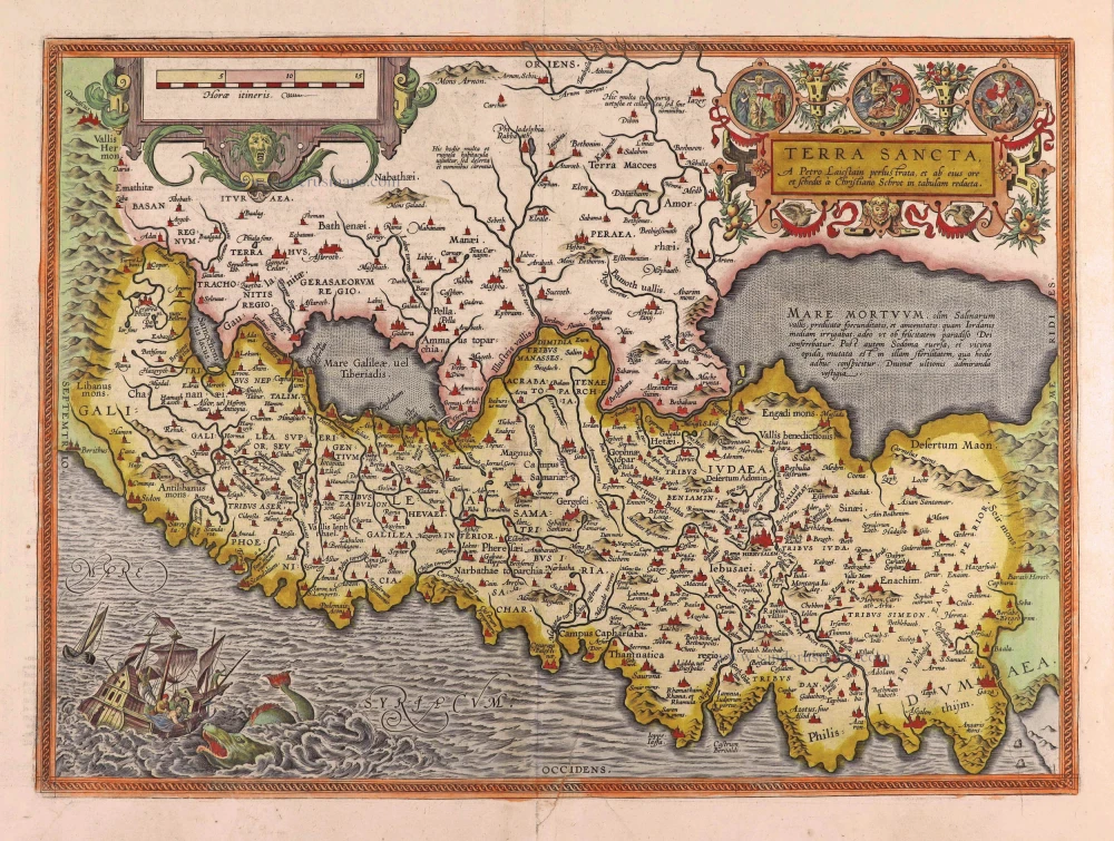
Tabula Terre Sanctae.
Item Number: 27927 Authenticity Guarantee
Category: Antique maps > Asia > Holy Land
Old, antique map of the Holy Land, by Lorenz Fries, after Martin Waldseemüller.
Title: Tabula Terre Sanctae.
Date of the first edition: 1522.
Date of this map: 1525.
Woodcut, printed on paper.
Size (not including margins): 290 x 420mm (11.42 x 16.54 inches).
Verso: Latin text.
Condition: Excellent.
Condition Rating: A+.
References: Karrow, 28/43; Laor, #612
From: L. Fries, Opus Geographiae. Strasbourg, J. Grüninger, 1525. (Karrow, 28/G.1; Shirley (Brit. Lib.), T.PTOL.7b))
On the reverse, the text is contained within elaborate Renaissance woodcut panels, which may have been designed by Albrecht Dürer, the known contributor to diagrams elsewhere in the atlas.
Lorenz Fries* (c. 1485 – 1532)
Lorenz Fries, a physician, astrologer, and cartographic editor, was a native Alsatian. Nothing is known about his youth and early schooling. His university education in philosophy and medicine has been acquired at several schools. He probably attended Vienna, Montpellier, Piacenza, and Pavia. He obtained a Doctor of Arts degree at one of these institutions.
His first professional position was in Sélestat, near Strasbourg. He practised medicine in Colmar from 1514 to 1518. He wrote several medical works, including a practice entitled Spiegel der Artzny (Mirror of Medicine), a trendy book with seven editions up to 1546. After 1519, he moved to Strasbourg, where he stayed until about 1527.
In 1520, Fries became involved in publishing new editions of maps by Martin Waldseemüller. He collaborated with Peter Apian to publish a much-reduced version of Waldseemüller's map of 1507.
In the meantime, Fries was preparing a new edition of Ptolemy's Geographia. The book was printed in 1522 by Johannes Grüninger, an esteemed printer from Strasbourg who had previously published the Waldseemüller. It was based on Waldseemüller's editions of 1513 and 1520. Fries says in a note to the reader: "…, we declare that Martin Waldseemüller, piously deceased, originally constructed these maps and that they have been drawn in a format smaller than they ever had". The book sold well, and new editions would follow, printed with the same woodblocks.
In 1525, Willibald Pirkheimer, the Nuremberg humanist, published a new edition with Grüninger. The volume was published jointly with the Nuremberg printer Johannes Koberger. It included the same fifty Waldseemüller/Fries maps as the 1522 edition.
Michael Servetus (= Michael Villanovus) printed two more editions in Lyon in 1535 and 1541. Servetus was tried for heresy in 1553. One of the allegations was that he had written a statement on the verso of the map of the Holy Land describing it as primarily infertile. The idea originated in Fries's edition in 1522. Servetus was burned at the stake, and at Calvin's orders, many copies of Servetus's books followed him into the flames.
Fries also published other books on astrology and medicine. In addition, he undertook a reduction of Waldseemüller's large map of 1516, the Carta Marina Navigatoria, which he translated into German simultaneously. The map was published in 1525, but no copy of this edition survived. The earliest copy known is dated 1530.
In 1525, Strasbourg had become a thoroughly reformed city, and the Roman church's adherents found themselves increasingly unwelcome. For this reason, Fries probably renounced his citizenship and moved to Metz. During this period, he published his last two medical works.
*He should be distinct from the historian Lorenz Fries of Mergentheim (1491-1550).
Martin Waldseemüller (Ilacomilus) (c. 1473-1519)
Martin Walseemüller and his collaborator, Matthias Ringmann, are credited with the first recorded usage of the word America to name the New World in honour of the Italian explorer Amerigo Vespucci.
He was born about 1475, most probably in the village of Wolfenweiler near Freiburg in Breisgau (southern Germany). He studied at the University of Freiburg, where he met Johann Scott, the future printer of Waldseemüller’s edition of Ptolemy and Matthias Ringman, a poet who wrote Waldseemüller’s texts. Gregor Reisch was their tutor. He was noted for his philosophical work, Margaretha Philosophica (1503), a widely read book that included a world map in Ptolemaic form. He undoubtedly aroused the students’ interest in cosmography.
At the beginning of the 16th century, Walseemüller moved to St.Dié in the Vosges. He Hellenized his name to Ilacomilus and worked on an edition of Ptolemy. He learned the printing trade in Basle and became a professor of cosmography under the patronage of René II, Duke of Lorraine.
Together with a group of scholars, among them were Nicholas Lud and Matthias Ringmann, they installed a printing press in St. Dié. The first book appeared in 1507: Cosmographiae Introductio… Few books have generated as much interest and speculation as this book because it suggested that the new continent is named America in honour of Amerigo Vespucci, whose letters about his American “discoveries” form a large part of the book. Great interest was also attached to the two maps on the title page constituting part of the Cosmographiae Introductio: a large 12-panel wall map of the world and a set of globe gores. The map and globe were notable for showing the New World as a continent separate from Asia and naming the southern landmass America.
Ringmann wrote the Cosmographiae Introductio's text, using the name ‘America’. He died in 1511, and by then, Waldseemüller was having doubts about the name they had coined.
In 1511, Walseemüller published the Carta Itineraria Europae, a road map of Europe that showed essential trade routes and pilgrim routes from central Europe to Santiago de Compostela, Spain. It was the first printed wall map of Europe.
After Ringmann’s death, Waldseemüller concentrated on the new version of Ptolemy’s Geographia. Johannes Scott finally printed the new edition in 1513 in Strasbourg, and it is now regarded as the most important. Waldseemüller included twenty modern maps in the new Geographia as a separate appendix.
The 1507 wall map was lost for a long time, but Joseph Fischer found a copy in Schloss Wolfegg in southern Germany in 1901. It is the only known copy purchased by the United States Library of Congress in May 2003.
Related items
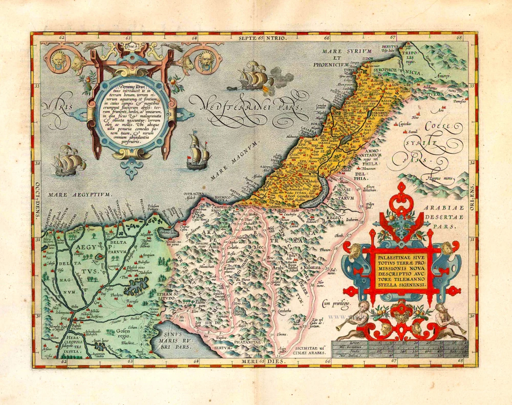
Palaestinae sive totius Terrae Promissionis nova descriptio Auctore Tilemanno Stella Sigenensi. 1624
Holy Land, by Abraham Ortelius.
[Item number: 1583]
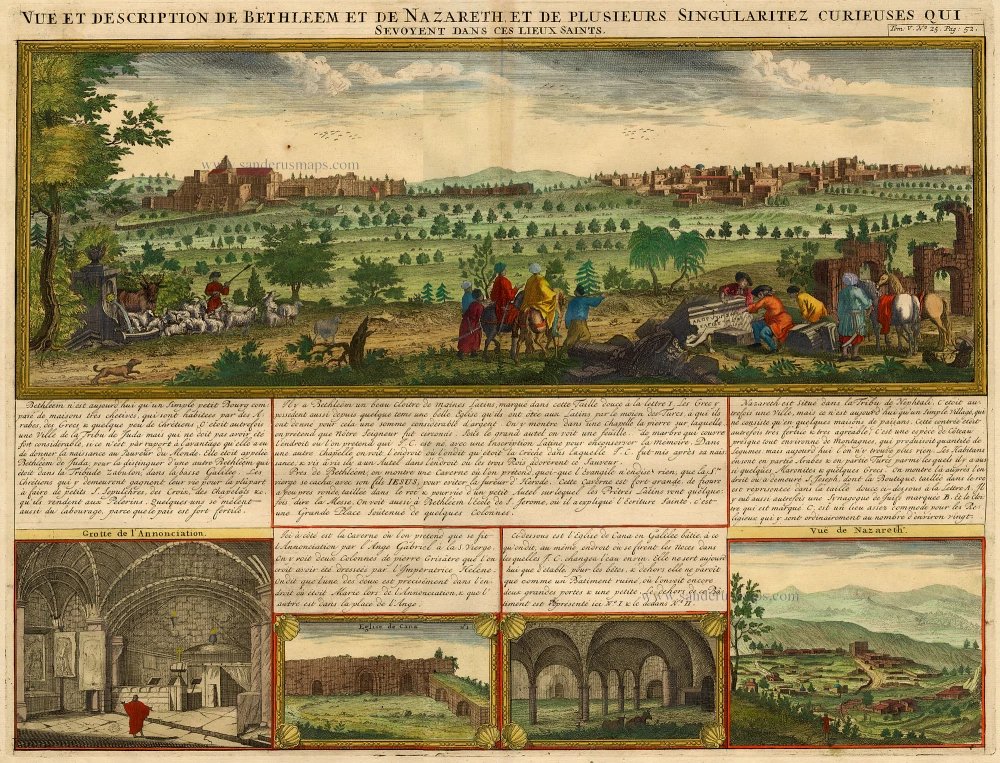
Vue et Description de Bethleem et de Nazareth et de Plusieurs Singularitez Curieuses .. 1719
Holy Land - Bethlehem - Nazareth, by Z. Châtelain.
[Item number: 16855]
Beschreibung des Heiligen Landes Canaan. 1581
The Holy Land, by Bünting H.
[Item number: 18420]
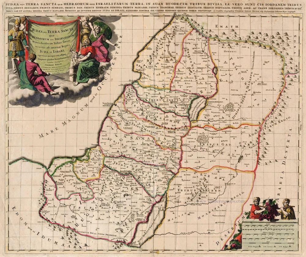
Iudea, seu Terra Sancta quae Hebraeorum sive Israelitarum ... c. 1700
HOLY LAND by Schenk P.
[Item number: 19146]
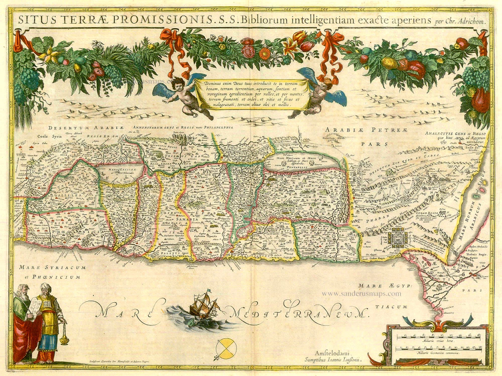
Situs Terrae Promissionis. S.S. Bibliorum intelligentiam exacte aperiens per Chr. Adrichom. c. 1658
The Holy Land, by Janssonius J.
[Item number: 19521]
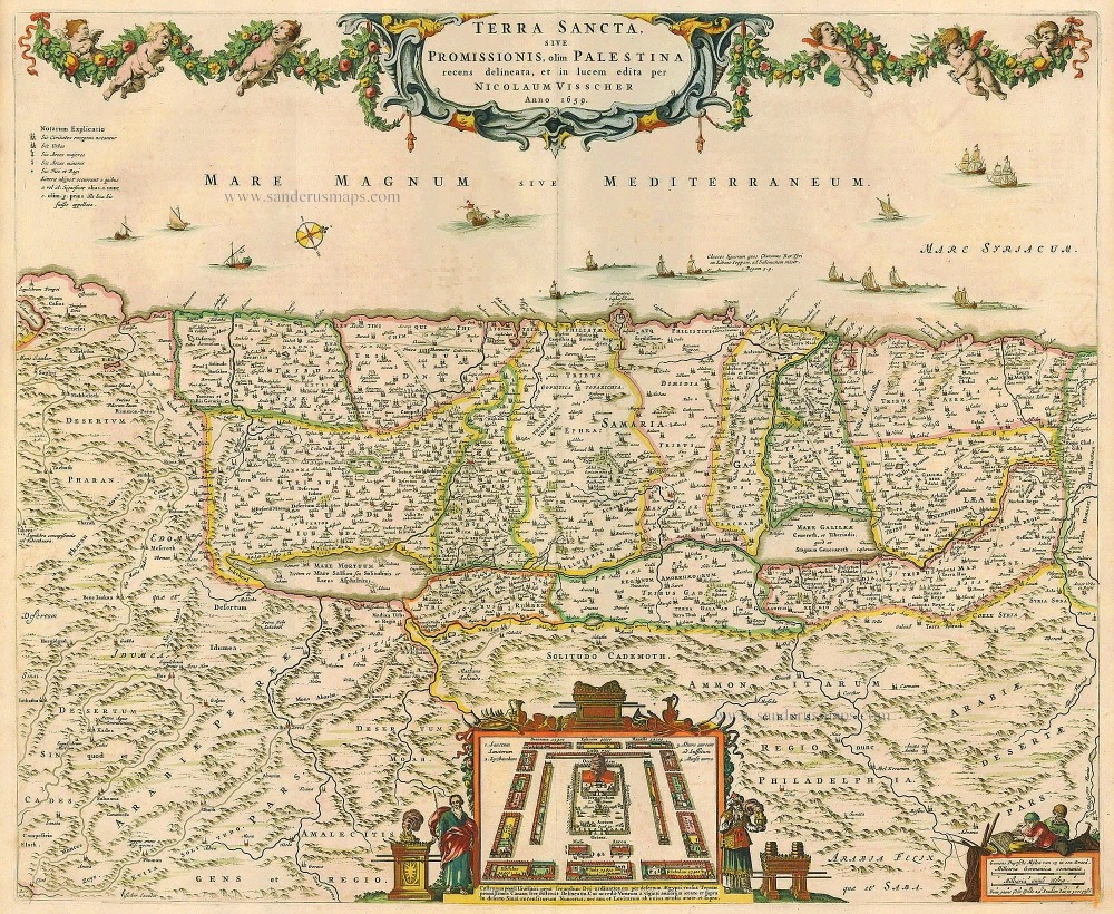
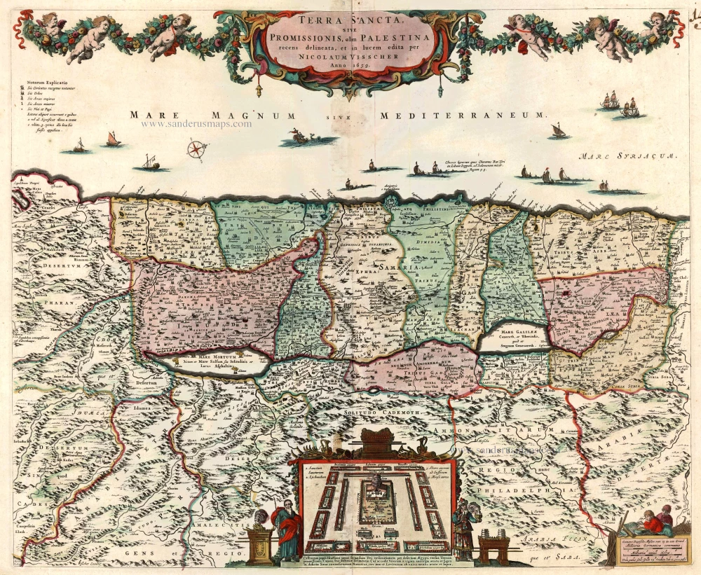
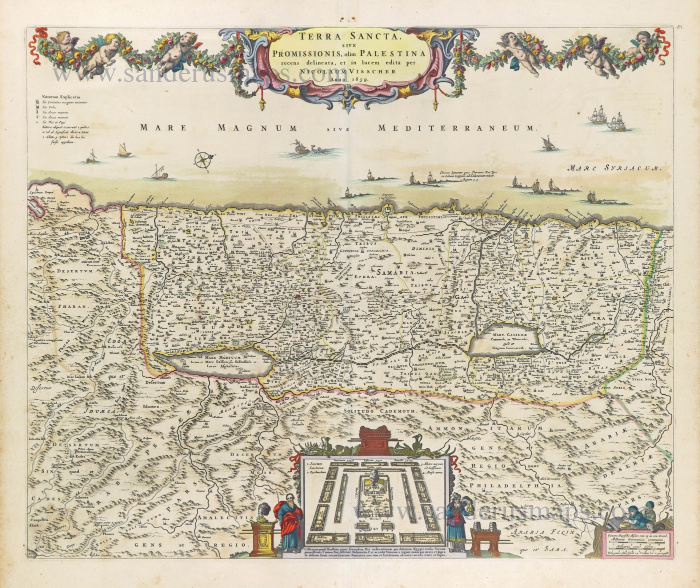
Terra Sancta, sive Promissionis, olim Palestina recens delineata. 1683-1696
The Holy Land, by Visscher N.
[Item number: 19522]
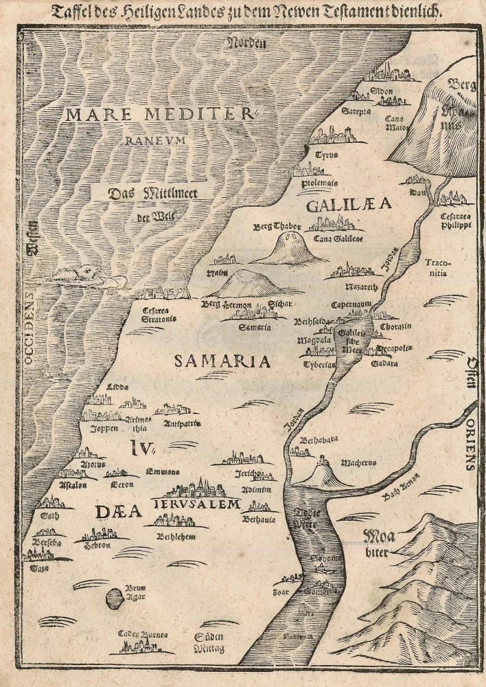
Taffel des Heiligen Landes zu dem Newen Testament dienlich. 1582
Holy Land, by Bünting H.
[Item number: 22640]
Terra Sancta, A Petro Laicstain perlustrata, et ab eius ore et schedisà Chistino Schrot in tabulam redacta. 1612
Holy Land by Abraham Ortelius.
[Item number: 23099]
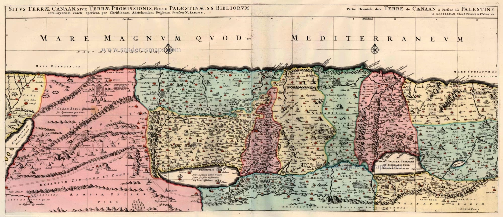
Situs Terrae Canaan sive Terrae Promissionis, hodie Palestinae, ... 1710
The Holy Land, by Jaillot - Covens & Mortier.
[Item number: 23600]
Terra Sancta, sive Promissionis, olim Palestina recens delineata. 1683-1696
The Holy Land by Nicolaas Visscher
[Item number: 24441]
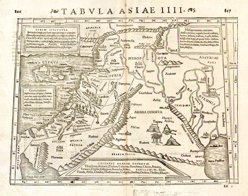
Tabula Asiae IIII. 1571
Middle East - Cyprus - Holy Land by Strabo - Sebastian Münster
[Item number: 25653]
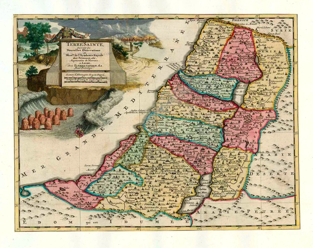
Terre Sainte Suivant les Nouvelles Observations. 1713
The Holy Land, by Pieter van der Aa.
[Item number: 26110]
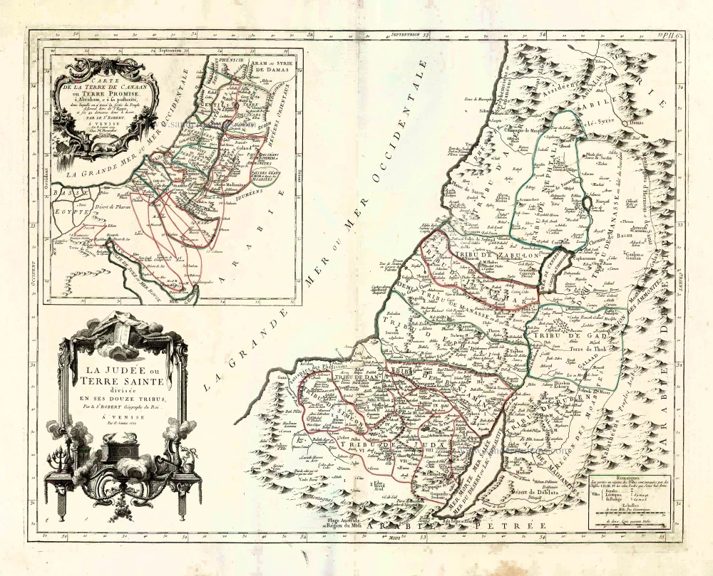
La Judée ou Terre Sainte divisée en ses Douze Tribus. 1776-79
Holy Land, by Paolo Santini.
[Item number: 27015]
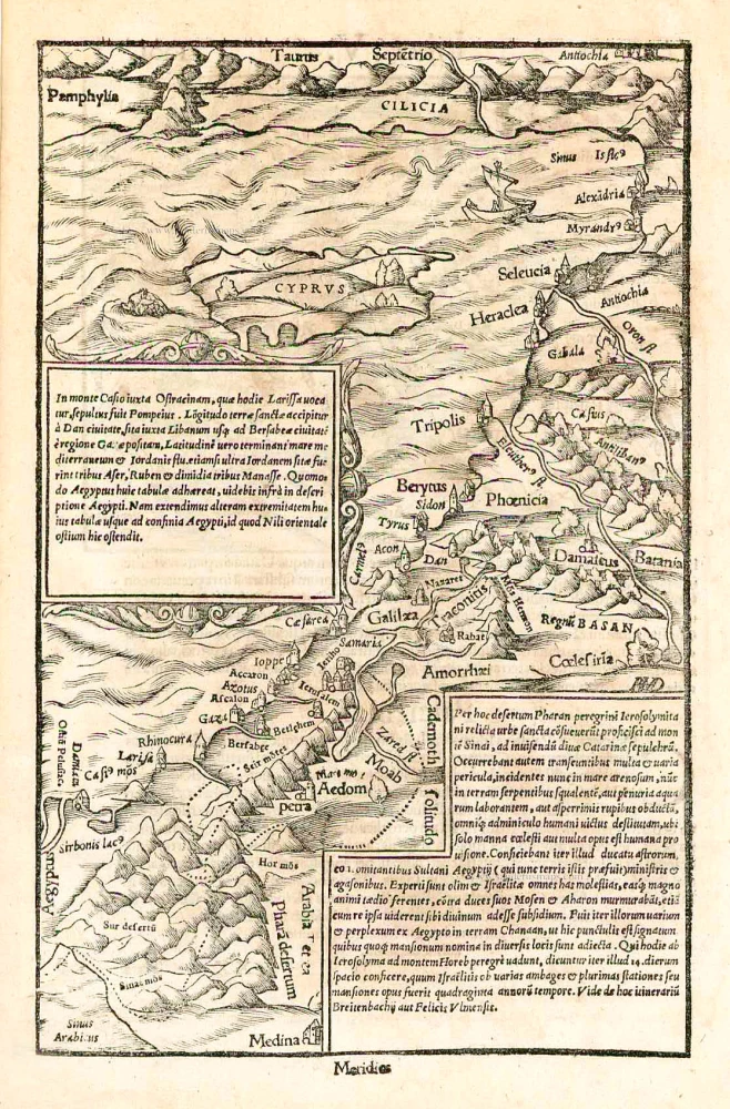
In monte Casio iuxta Ostracinam, ... 1550
Cyprus and the Holy Land, by Sebastian Münster.
[Item number: 27073]
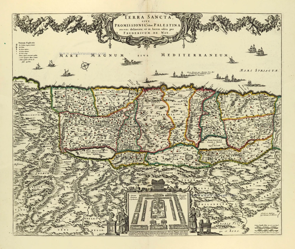
Terra Sancta, sive Promissionis, olim Palestina. after 1721
Holy Land by Frederik de Wit, published by Covens & Mortier.
[Item number: 28329]
Terra Sancta, sive Promissionis, olim Palestina recens delineata. 1664-80
The Holy Land by Nicolaas Visscher.
[Item number: 28582]
Parergon map
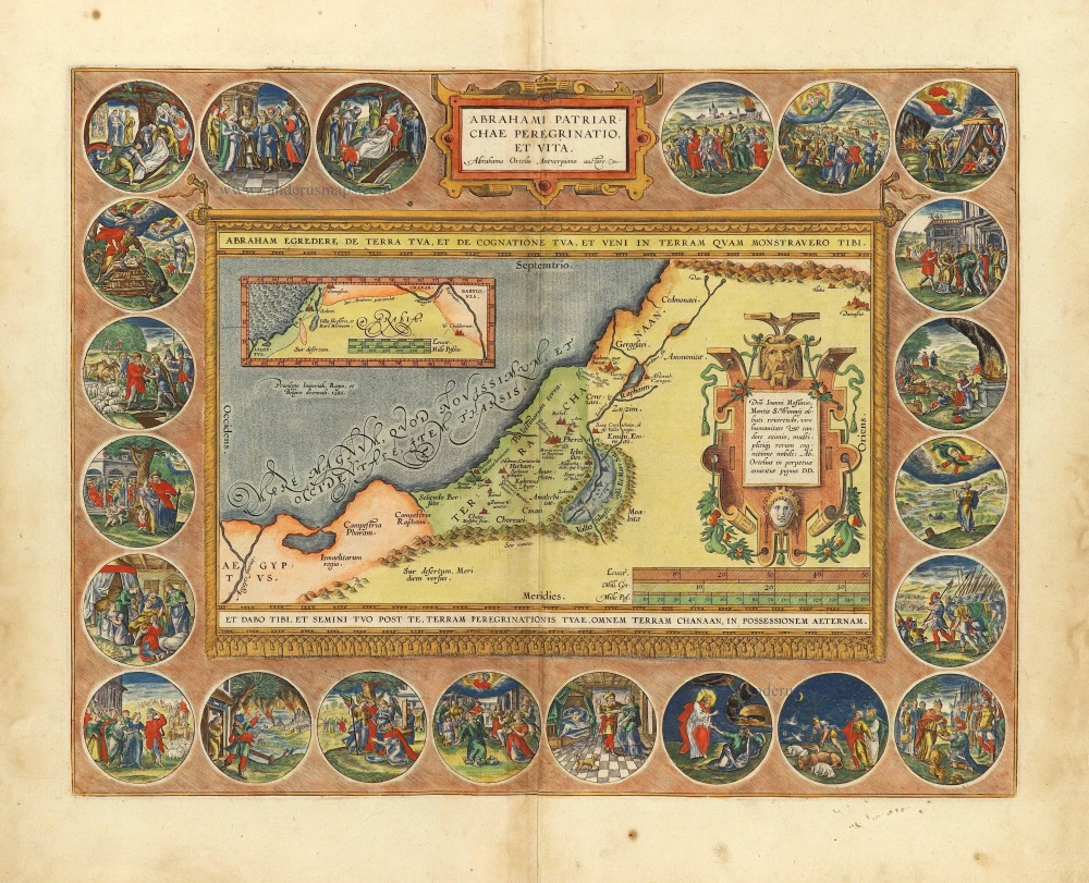
Abrahami Patriarchae Peregrinatio, et Vita. 1612
The Holy Land by Abraham Ortelius.
[Item number: 28921]
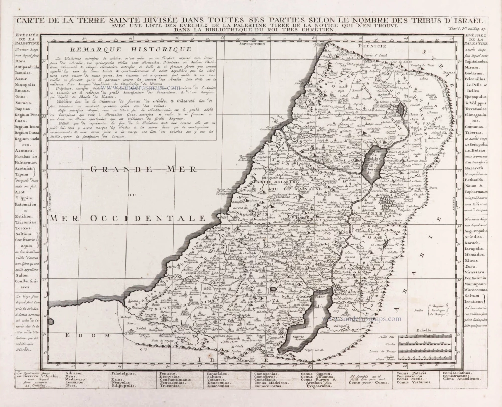
Carte de la Terre Sainte Divisée dans Toutes ses Parties selon le nombre des Tribus d'Israel. 1719
Holy Land, by Zacharias Châtelain.
[Item number: 29383]
Luxury colour
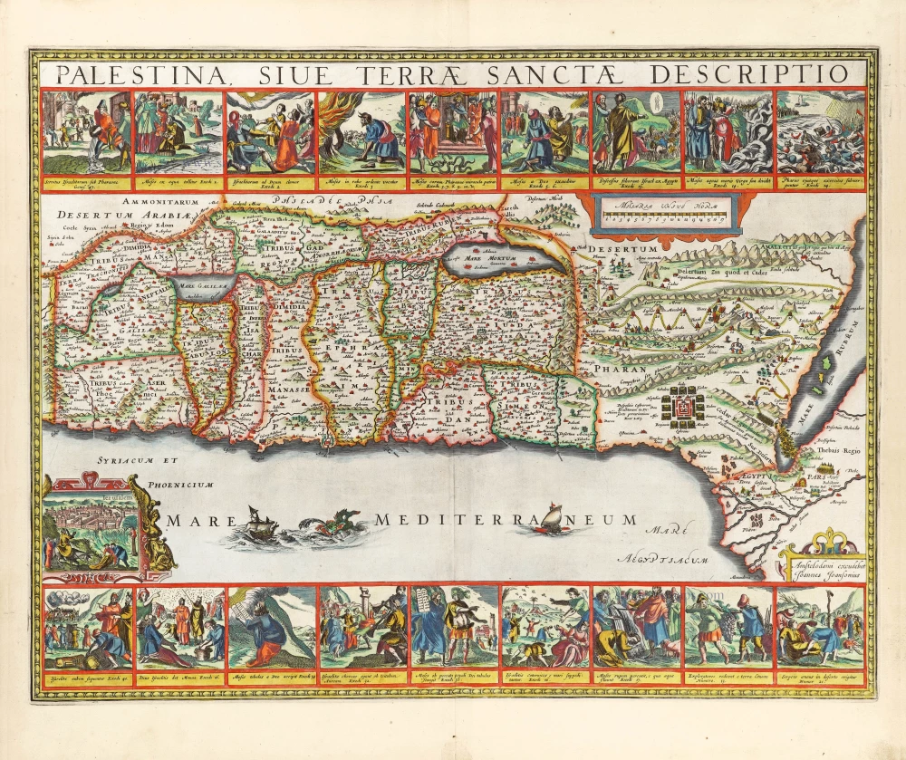
Palestina, sive Terrae Sanctae Descriptio. 1666
The Holy Land by Joannes Janssonius.
[Item number: 29972]
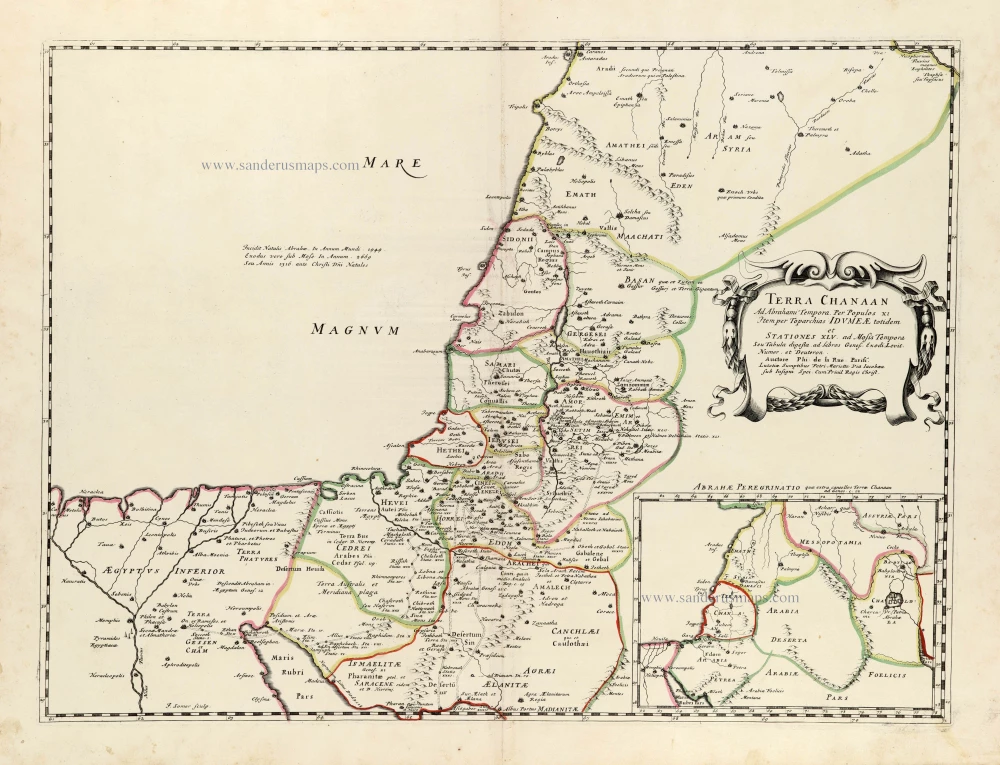
Terra Chanaan Ad Abrahami tempora, per populos XI Item per toparchias Idumeae Totidem et Stationes XLV. ad Mosis Tempora Seu Tabula digesta ad libros Genes. Exodi. Levit. Numer. et Deuteron. 1651
Historic map of the Land of Canaan from the time of Abraham up to the time of Moses, by Philippe de la Rue, published by Pierre Mariette.
[Item number: 30053]
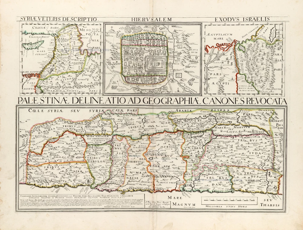
Palestinae Delineatio Ad Geographiae Canones Revocata. 1641
Holy Land - Jerusalem by Philippe Briet, published by Pierre Mariette.
[Item number: 30056]
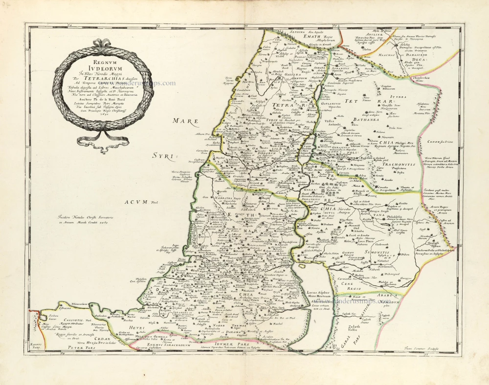
Regnum Iudeorum In Filios Herodis Magni. 1651
Historic map of the Kingdom of Judea in the time of Christ, by Philippe de la Rue, published by Pierre Mariette.
[Item number: 30060]
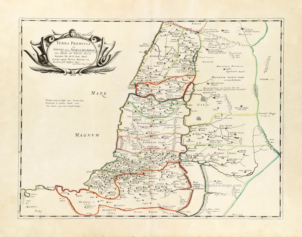
Terra Promissa in Sortes seu Tribus XII Distincta. 1651
The Promised Land divided among the 12 Tribes, by Philippe de la Rue, published by Pierre Mariette.
[Item number: 30061]
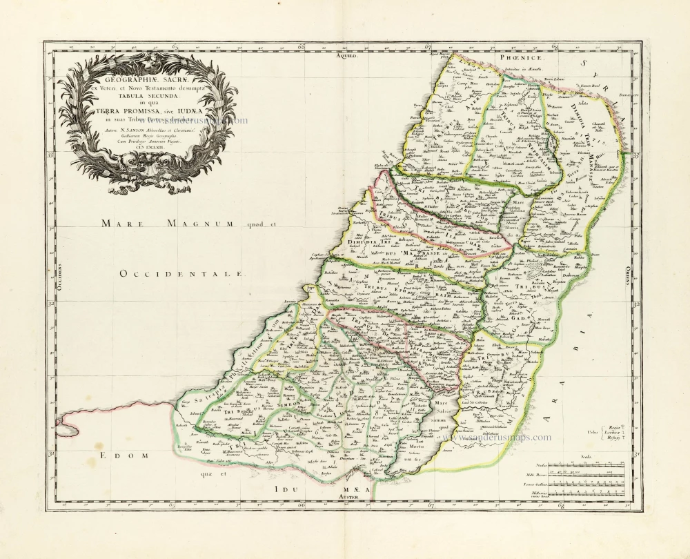
Geographiae Sacrae ex Veteri et Novo Testamento desumptae Tabula Secunda: in qua Terra Promissa, sive Iudaea in suas Tribus Partesq, distincta. 1665
Holy Land by Nicolas Sanson.
[Item number: 30105]
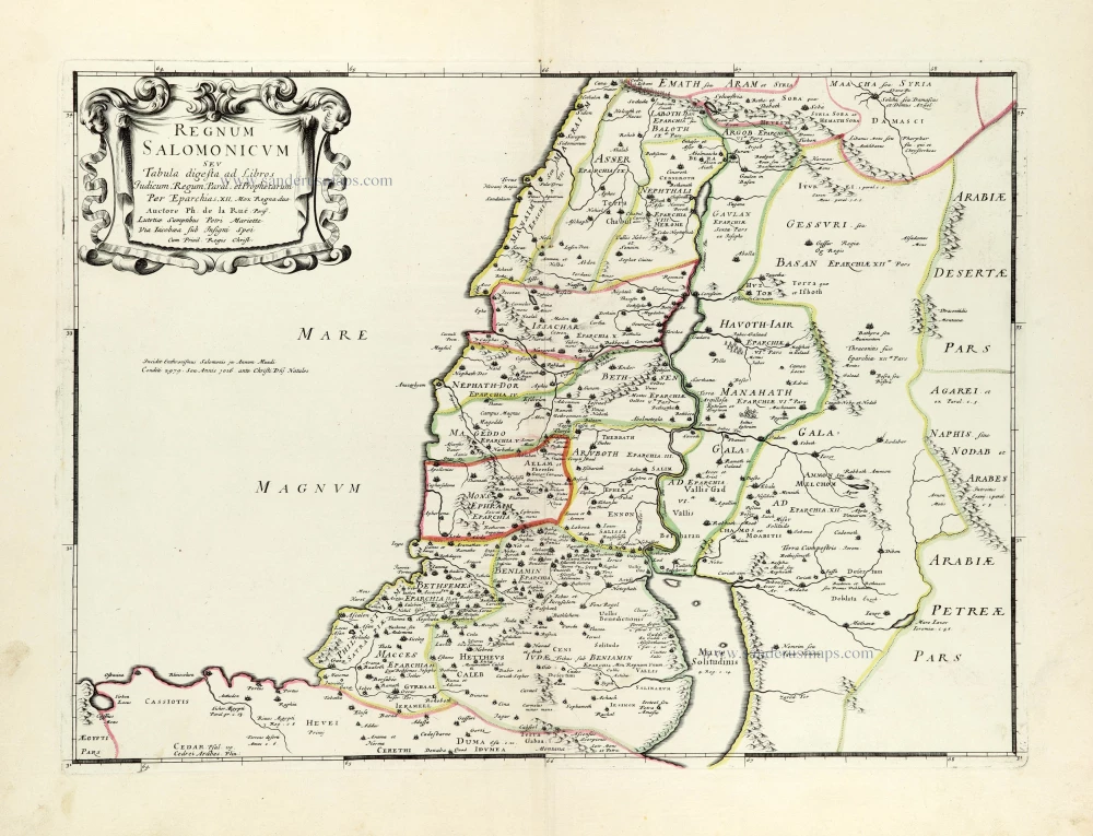
Regnum Salomonicum Seu Tabula digesta ad Libros Judicum, Regum, Paral. et Prophetarum. 1651
Historic map of the Kingdom of Solomon divided into 12 provinces, by Philippe de la Rue, published by Pierre Mariette.
[Item number: 30106]
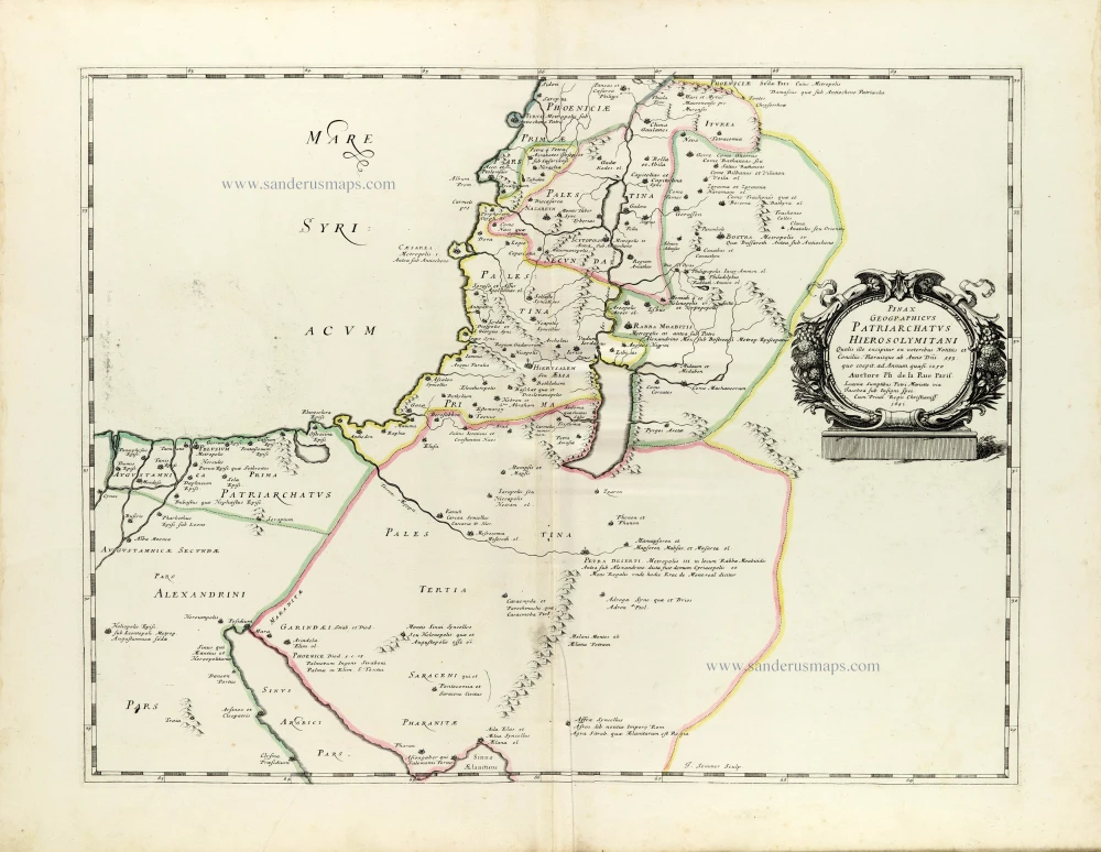
Pinax Geogpaphicus [sic] Patriarchatus Hierosolymitani [...] 1651
The Patriarchate of Jerusalem, by Philippe de la Rue, published by Pierre Mariette.
[Item number: 30120]
Superb old colouring, heightened with gold.
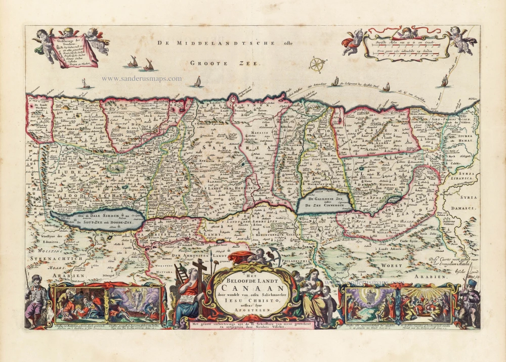
Het Beloofde Landt Canaan door wandelt van onsen Salichmaeker Iesu Christo, neffens syne Apostelen. 1663
Holy Land by Nicolaas Visscher.
[Item number: 30535]
Superb old colouring, heightened with gold.
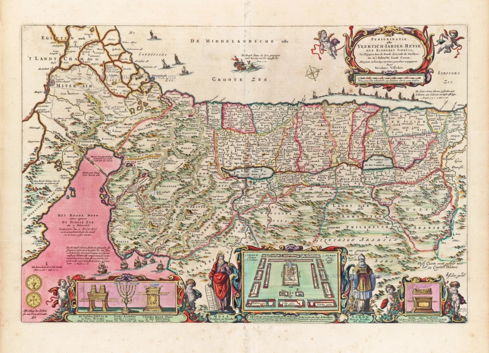
Perigrinatie ofte Veertigh-Iarige Reyse der Kinderen Israëls. 1663
Holy Land, by Nicolaes Visscher I.
[Item number: 30538]
Holy Land map from the very rare van Liesveldt Bible
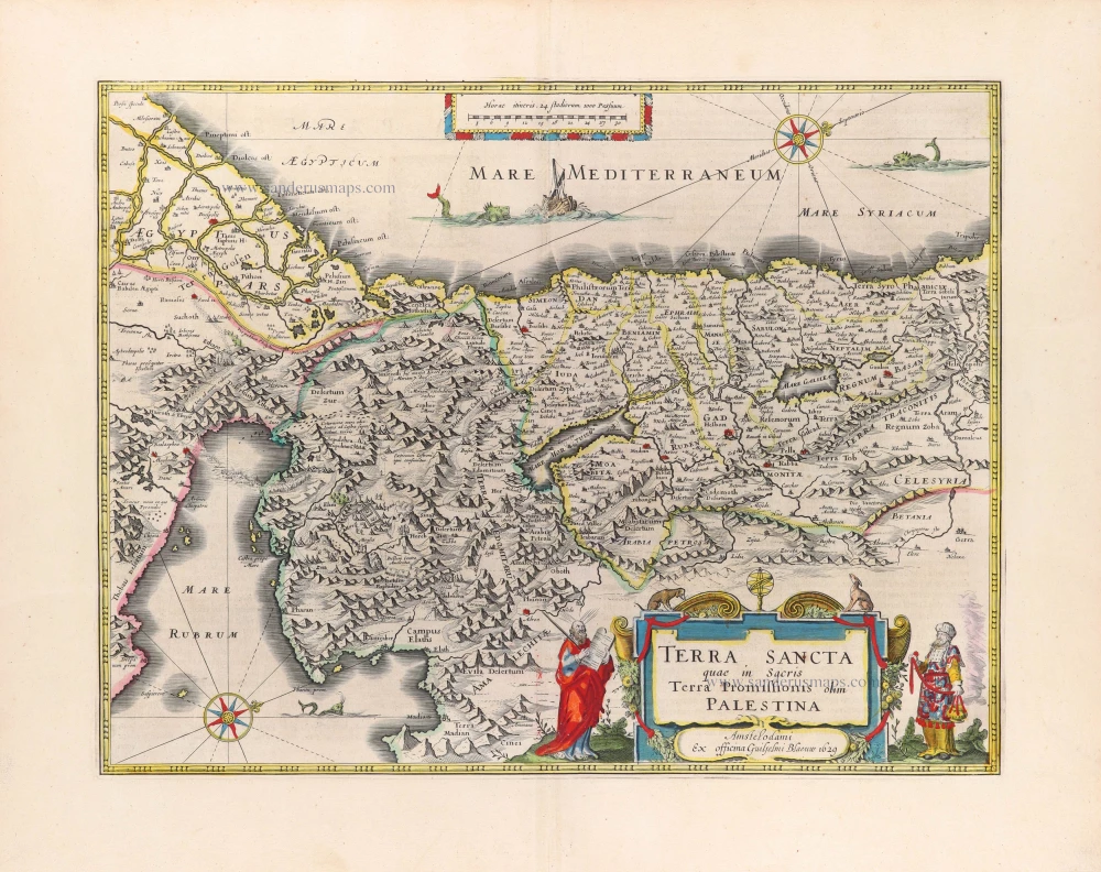
Die ghelegentheit ende die palen des lants van Beloften. 1532-1560
Holy Land by van Jacob van Liesveldt.
[Item number: 30549]
Terra Sancta quae in Sacris Terra Promissionis olim Palestina. 1645
Holy Land, by Willem Blaeu.
[Item number: 30914]