
India, by J. Blaeu. 1643-50
The item displayed on this page has been sold. However, we have a similar map in stock:
India, by Joan Blaeu. 1640
Magni Mogolis Imperium.
[Item number: 30140]

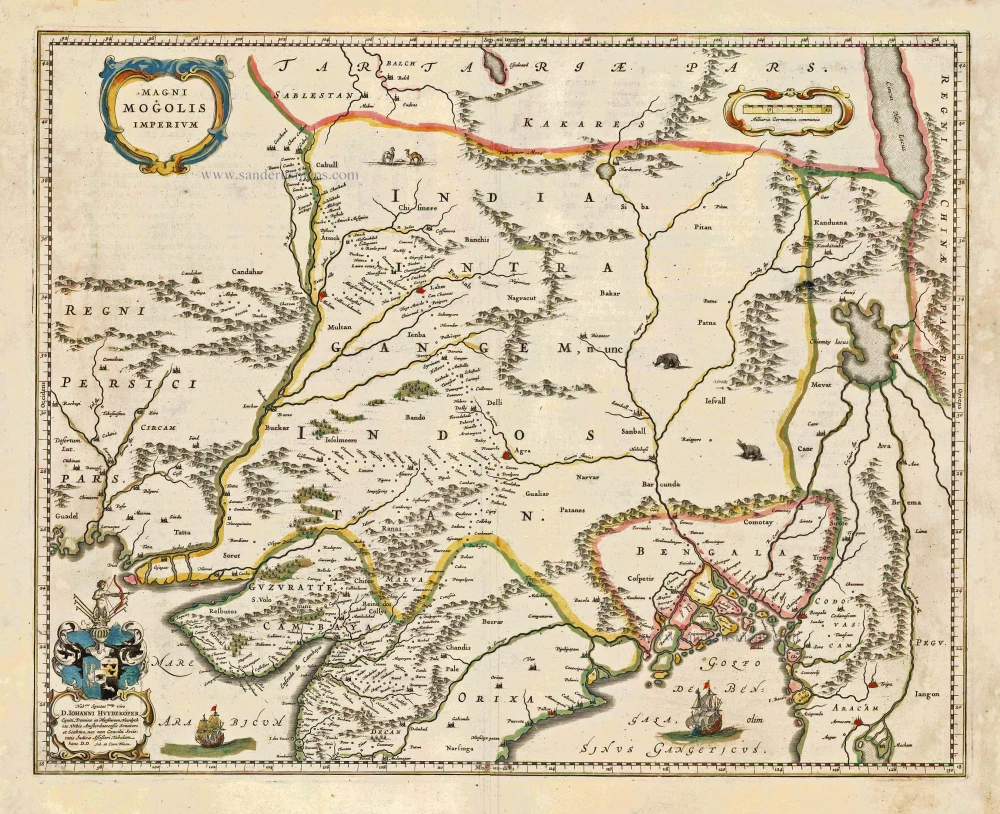
The empire of the Great Mogol, founded at the beginning of the sixteenth century, extended from present-day Afghanistan to Dacca in Bangladesh. The English and Dutch trading companies in particular were enormously interested in this empire. The information on the map comes from that of William Baffin from 1618, who got his information from the reports of Sir Thomas Roe, ambassador of King James I of England to the Great Mogul Jahangir in 1615.
The Blaeus: Willem Janszoon, Cornelis & Joan
Willem Jansz. Blaeu and his son Joan Blaeu are the most widely known cartographic publishers of the seventeenth century.
Willem Jansz. (also written Guilielmus Janssonius) = Willem Janszoon Blaeu, was born in Uitgeest (Netherlands), near Alkmaar in 1571. He studied mathematics under Tycho Brahe and learned the theory and practice of astronomical observations and the art of instrument- and globe making.
In 1596 he came to Amsterdam where he settled down as a globe-, instrument- and map-maker. He published his first cartographic work (a globe) in 1599 and probably published his first printed map (a map of the Netherlands) in 1604. He specialized in maritime cartography and published the first edition of the pilot guide Het Licht der Zeevaert in 1608, and was appointed Hydrographer of the V.O.C. (United East India Company) in 1633. After thirty years of publishing books, wall maps, globes, charts and pilot guides, he brought out his first atlas, Atlas Appendix (1630). This was the beginning of the great tradition of atlas-making by the Blaeus.
In 1618 another mapmaker, bookseller and publisher, Johannes Janssonius established himself in Amsterdam next door to Blaeu's shop. It is no wonder that these two neighbours, who began accusing each other of copying and stealing their information, became fierce competitors who did not have a good word to say about each other. In about 1621 Willem Jansz. decided to put an end to the confusion between his name and his competitor's, and assumed his grandfather's sobriquet, 'blauwe Willem' ('blue Willem'), as the family name; thereafter he called himself Willem Jansz. Blaeu.
Willem Janszoon Blaeu died in 1638, leaving his prospering business to his sons, Cornelis and Joan. Of Cornelis we only know that his name occurs in the prefaces of books and atlases until c. 1645.
Joan Blaeu, born in Amsterdam, 1596, became partner in his father’s book trade and printing business. In 1638 he was appointed his father’s successor in the Hydrographic office of the V.O.C. His efforts culminated in the magnificent Atlas Major and the town-books of the Netherlands and of Italy – works unsurpassed in history and in modern times, which gave eternal fame to the name of the Blaeus.
On February 23, 1672, a fire ruined the business. One year later, Dr. Joan Blaeu died. The fire of 1672 and the passing away of the director gave rise to a complete sale of the stock of the Blaeu House. Five public auctions dispersed the remaining books, atlases, copperplates, globes, etc., among many other map dealers and publishers in Amsterdam. The majority was acquired by a number of booksellers acting in partnership.
In the succeeding years, the remaining printing department was left in the hands of the Blaeu family until 1695 when also the inventory of the printing house was sold at a public auction. That meant the end of the Blaeus as a printing house of world renown.
Magni Mogolis Imperium.
Item Number: 26583 Authenticity Guarantee
Category: Antique maps > Asia > India - Ceylon
Antique map of India, by J. Blaeu.
Dedicated to Johannes Huydekoper by Joh. and Corn. Blaeu.
Date of the first edition: 1640
Date of this map: 1643
Copper engraving, printed on paper.
Size (not including margins): 41.5 x 52cm (16.2 x 20.3 inches)
Verso text: Latin
Condition: Original coloured, excellent.
Condition Rating: A+
References: Van der Krogt 2, 8330:2.
From: Theatrum Orbis Terrarum sive Atlas novus; in quo tabulae et descriptiones omnium regionum editae a Guiljel: et Ioanne Blaeu. Amsterdam, 1640. (Van der Krogt 2, 2:201)
The empire of the Great Mogol, founded at the beginning of the sixteenth century, extended from present-day Afghanistan to Dacca in Bangladesh. The English and Dutch trading companies in particular were enormously interested in this empire. The information on the map comes from that of William Baffin from 1618, who got his information from the reports of Sir Thomas Roe, ambassador of King James I of England to the Great Mogul Jahangir in 1615.
The Blaeus: Willem Janszoon, Cornelis & Joan
Willem Jansz. Blaeu and his son Joan Blaeu are the most widely known cartographic publishers of the seventeenth century.
Willem Jansz. (also written Guilielmus Janssonius) = Willem Janszoon Blaeu, was born in Uitgeest (Netherlands), near Alkmaar in 1571. He studied mathematics under Tycho Brahe and learned the theory and practice of astronomical observations and the art of instrument- and globe making.
In 1596 he came to Amsterdam where he settled down as a globe-, instrument- and map-maker. He published his first cartographic work (a globe) in 1599 and probably published his first printed map (a map of the Netherlands) in 1604. He specialized in maritime cartography and published the first edition of the pilot guide Het Licht der Zeevaert in 1608, and was appointed Hydrographer of the V.O.C. (United East India Company) in 1633. After thirty years of publishing books, wall maps, globes, charts and pilot guides, he brought out his first atlas, Atlas Appendix (1630). This was the beginning of the great tradition of atlas-making by the Blaeus.
In 1618 another mapmaker, bookseller and publisher, Johannes Janssonius established himself in Amsterdam next door to Blaeu's shop. It is no wonder that these two neighbours, who began accusing each other of copying and stealing their information, became fierce competitors who did not have a good word to say about each other. In about 1621 Willem Jansz. decided to put an end to the confusion between his name and his competitor's, and assumed his grandfather's sobriquet, 'blauwe Willem' ('blue Willem'), as the family name; thereafter he called himself Willem Jansz. Blaeu.
Willem Janszoon Blaeu died in 1638, leaving his prospering business to his sons, Cornelis and Joan. Of Cornelis we only know that his name occurs in the prefaces of books and atlases until c. 1645.
Joan Blaeu, born in Amsterdam, 1596, became partner in his father’s book trade and printing business. In 1638 he was appointed his father’s successor in the Hydrographic office of the V.O.C. His efforts culminated in the magnificent Atlas Major and the town-books of the Netherlands and of Italy – works unsurpassed in history and in modern times, which gave eternal fame to the name of the Blaeus.
On February 23, 1672, a fire ruined the business. One year later, Dr. Joan Blaeu died. The fire of 1672 and the passing away of the director gave rise to a complete sale of the stock of the Blaeu House. Five public auctions dispersed the remaining books, atlases, copperplates, globes, etc., among many other map dealers and publishers in Amsterdam. The majority was acquired by a number of booksellers acting in partnership.
In the succeeding years, the remaining printing department was left in the hands of the Blaeu family until 1695 when also the inventory of the printing house was sold at a public auction. That meant the end of the Blaeus as a printing house of world renown.
Related items
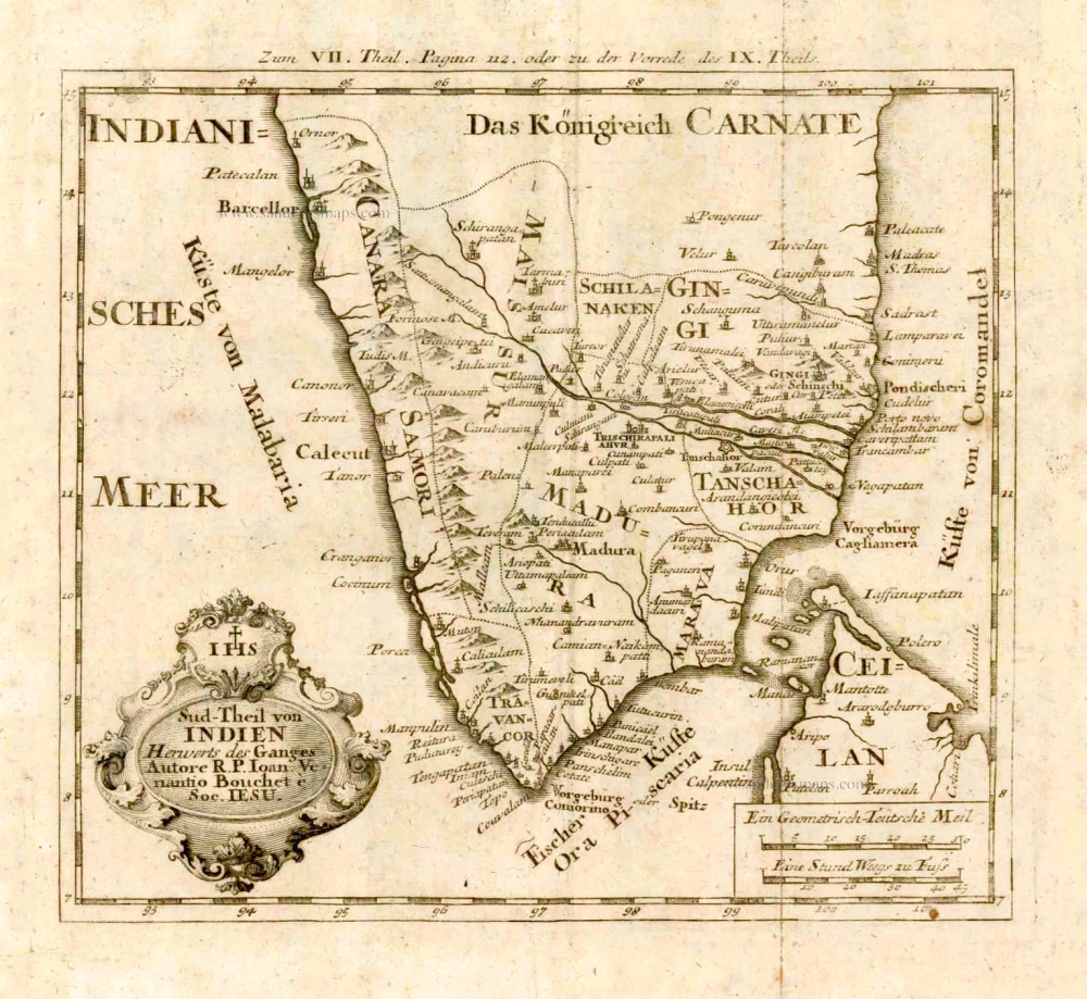
Sud-Theil von Indien Herwerts des Ganges. 1726
Southern India, by J.V. Bouchet.
[Item number: 4184]
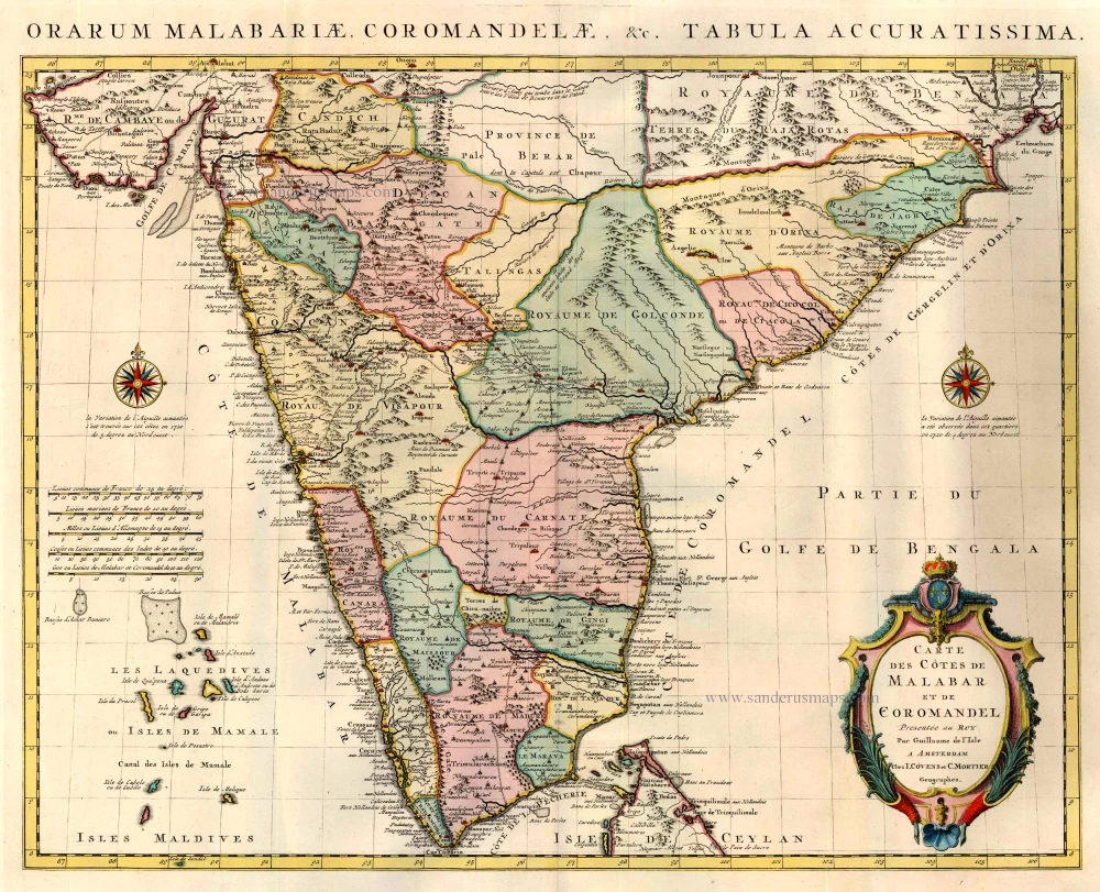
Carte des Cotes de Malabar et de Coromandel. 1721-41
India by Guillaume Delisle, published by Covens & Mortier.
[Item number: 23609]
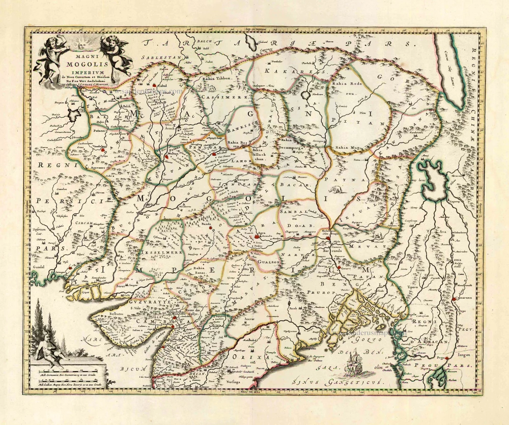
Magni Mogolis Imperium. After 1721
Mongol Empire, by Frederick de Wit - Covens & Mortier.
[Item number: 25838]

Goa. 1638
Goa, by M. Merian.
[Item number: 25903]
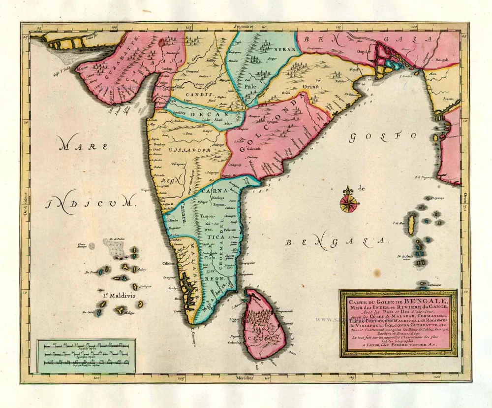
Carte du Golfe de Bengale, Mer des Indes, et Riviere du Gange, Avec les Païs et Iles d'alentour, Savoir les Côtes de Malabar, Cormandel, Ile de Ceylon, les Maldives, les Rolaumes de Visiapour, Golconda, Guzaratte, etc. 1713
India and Ceylon (Sri Lanka), by Pieter van der Aa.
[Item number: 26095]
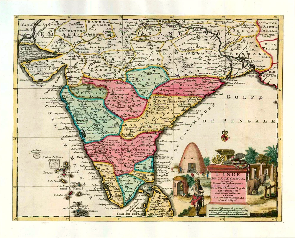
L'Inde de ça le Gange. 1713
India, by Pieter van der Aa.
[Item number: 26107]
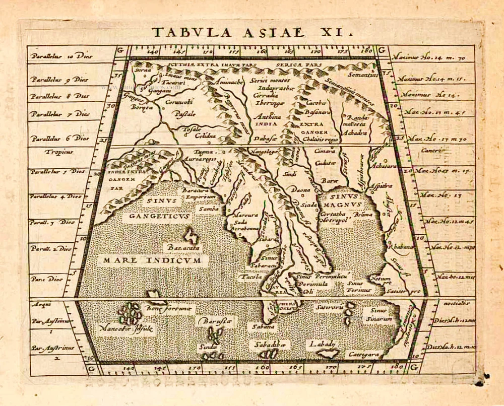
Tabula Asiae XI. 1597
India, by Giovanni Magini
[Item number: 26522]

Peninsula Indiae citra Gangem, hoc est Orae Celeberrimae Malabar & Coromandel. Cum Adjacente Insula non Minus Celebratissima Ceylon. c. 1737
India & Ceylon, by Homann Heirs.
[Item number: 26752]
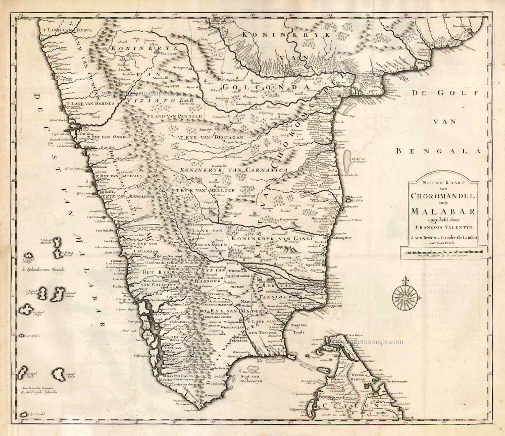
Nieuwe kaart van Choromandel ende Malabar. 1724-26
Southern India, by François Valentyn (Valentijn).
[Item number: 26896]

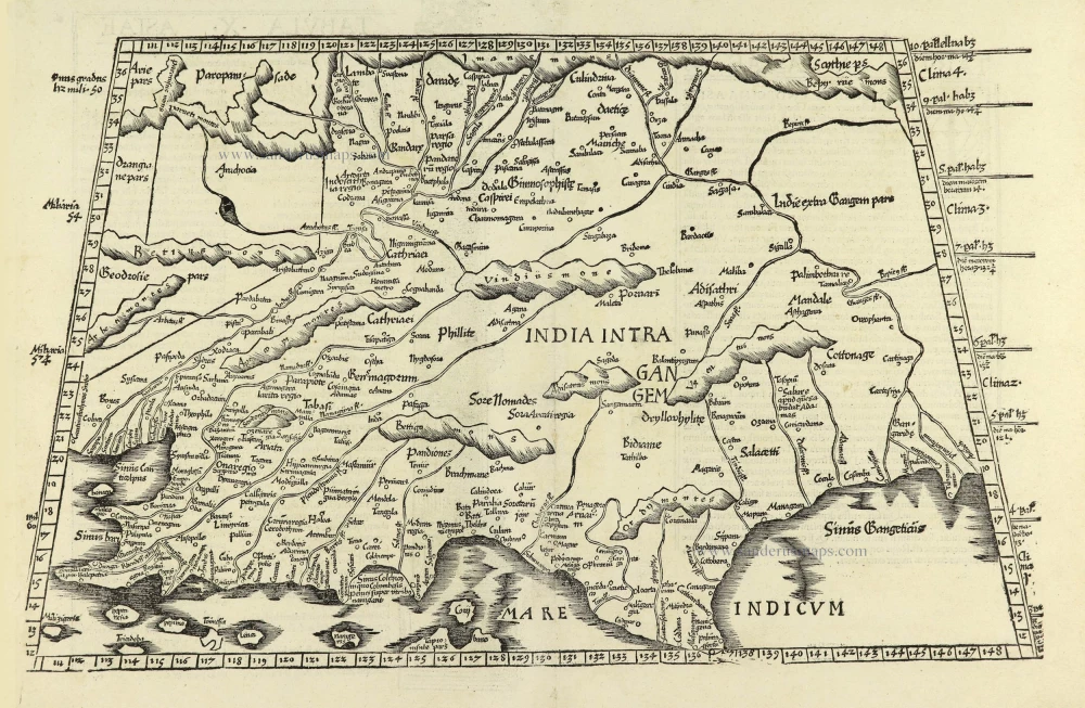
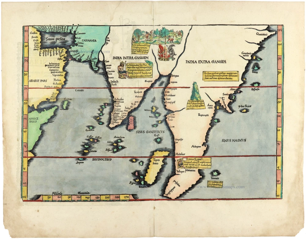
Fries 1525 edition of the first modern map of Southeast Asia
Tab. Moderna Indiae. 1525
South Asia by Lorenz Fries.
[Item number: 27929]
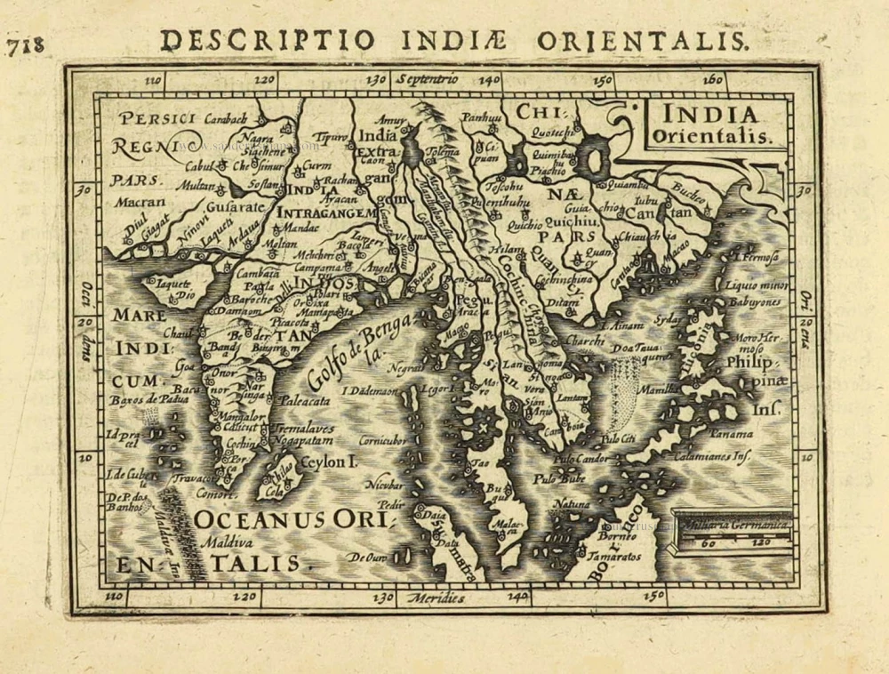
India Orientalis. 1616
East Indies by Petrus Bertius.
[Item number: 28162]
Tabula .X. Asiae. [On verso] 1525
Ptolemy map of India by Lorenz Fries, after Martin Waldseemüller.
[Item number: 28198]
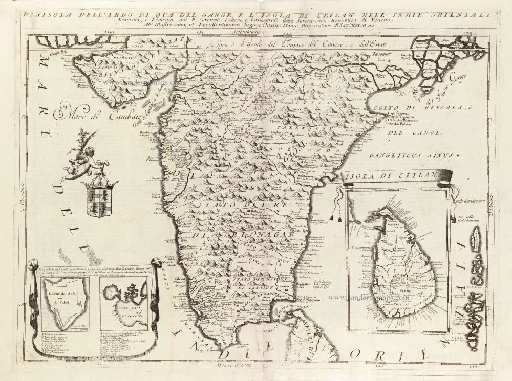
Penisola dell'Indo di qua del Gange, e l'Isola di Ceilan nell'Indie Orientali. 1696
India - Ceylon (Sri Lanka) by Vincenzo Coronelli.
[Item number: 28674]
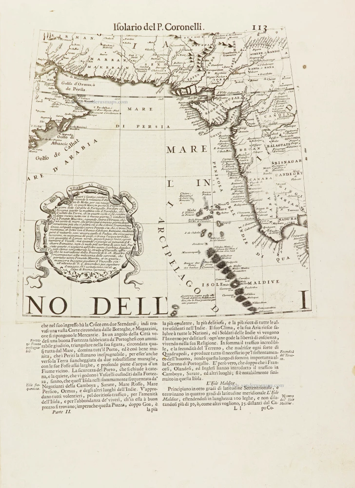
[No title.] 1696
Part of a globe gore showing the Indian Ocean with the coast of Oman, Iran, Pakistan, and the west coast of India, by Vincenzo Coronelli.
[Item number: 28901]
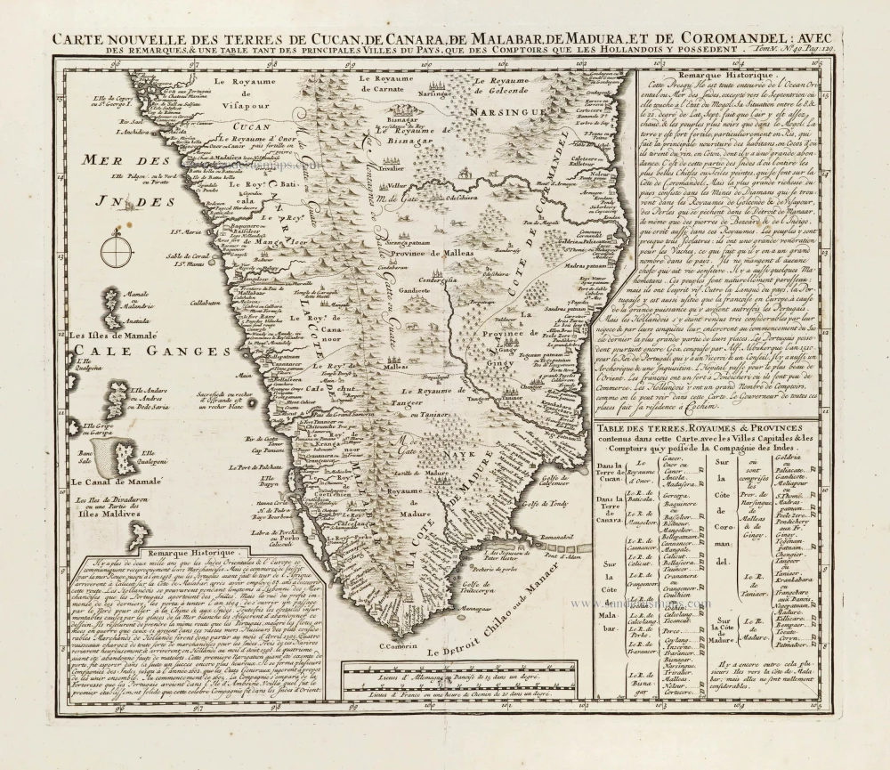
Carte Nouvelle des Terres de Cucan, de Canara, de Malabar, de Madura, et de Coromandel: 1719
Southern India, by Z. Châtelain.
[Item number: 29378]
Rare 1525 edition in nice old colour.
[No titel - from verso:] Tab. Moderna Indiae. 1525
Ptolemy map of southern Asia by Lorenz Fries, after Martin Waldseemüller.
[Item number: 30650]