
Map showing the postal stations of France, published by Nicolas Sanson and Melchior Tavernier. 1637

Around 1630, Melchior Tavernier harboured the ambition to compete with the Dutch map publishers and sought French cartographers whose works he could publish. The first result of the collaboration with Nicolas Sanson was this Cartes des postes de France of 1632. Melchior Tavernier first published it in his Theatre Geographique du royaume de France of 1637. It later appeared in Sanson's Cartes générales de toutes les parties du monde.
SANSON FAMILY
Nicolas Sanson (1600-1667) - Guillaume Sanson (1633-1703) - Pierre Moullart-Sanson (? -1730)
Originally from Abbeville, Nicolas I Sanson showed a keen interest in historical geography. He was still very young; he published a map of ancient Gaul and two treatises, Britannia and Portus Itius on Abbeville and Boulogne's origins. His meeting with Melchior Tavernier was decisive: it prompted him to give up his duties as a military engineer in Picardy and devote himself to engraved cartography.
At the same time, Sanson had drawn up the outline of modern France. He got the help of Tavernier, who encouraged him to compete with the Dutch map publishers. Tavernier contacted other French cartographers whose works he published.
From 1643, N. Sanson obtained a privilege to publish a work personally, the Princes souverains de l'Italie. Then, in 1644 and 1645, he had his famous geographical tables printed, which significantly contributed to his fame. He also published a series of atlases in quarto of the four continents.
In 1648, N. Sanson associated himself with Mariette to publish atlases. From then on, specific maps bore his name and others Mariette's. N. Sanson and Mariette worked together for more than 20 years. After the death of N. Sanson, Mariette acquired the entire fund. Since Mariette only wanted to publish complete atlases, individual maps were no longer sold, and some army generals complained to the king.
The disagreement between the Sanson family and Pierre II Mariette culminated in 1671 when Guillaume Sanson took the case to court. There was no longer any question of collaboration: Guillaume Sanson started working for another publisher, Alexis-Hubert Jaillot.
The Sanson family faced financial difficulties, and in 1692, their cousin, Pierre Moullart-Sanson, bought the entire geographic fund from his uncles and aunt. Pierre Moullart-Sanson was the son of Françoise Sanson (third child of Nicolas) and Pierre Moullart. He restarted the publishing of Sanson's world atlas, and in 1704 he acquired a privilege for publishing all the works of Nicolas and Guillaume Sanson, which continued to be published until 1730.
The Tavernier Family.
Engravers, booksellers and publishers in Paris.
There were two Melchiors; they flourished concurrently, making their contribution impossible to distinguish.
Melchior Tavernier I, the elder (1564-1641)
Gabriel Tavernier (1566-1610)
Flemish engraver.
Melchior Tavernier II, the younger (1594-1665)
Son of Gabriel Tavernier. Engraver, mapseller and publisher 'dans l'Isle du Palais à la Sphère Royale', Paris.
He sold the works of Hondius, Janssonius and Willem Blaeu as some of the earliest published works of Nicolas Sanson. He sold most of his plates and equipment to Pierre Mariette in 1644.
Jean Bapitiste Tavernier (1605-1689)
He was the brother of Melchior and later became a merchant, diplomat, and traveller in Turkey, Persia, Central Asia, and the East Indies.
Carte Geographicque des Postes qui traversent la France dediée
Item Number: 33239 new Authenticity Guarantee
Category: Antique maps > Europe > France
Map showing the postal stations of France, published by Nicolas Sanson and Melchior Tavernier.
Title: Carte Geographicque des Postes qui traversent la France dediée
A Paris, Par Melchior Tavernier, Graveur et Imprimeur ordinaire du Roy pour les Tailles douces demeurant en l'Isle du Palais sur le quay qui regarde la Megiserie
Avec privillege du Roy. A° 1632.
Date of the first edition: 1632.
Date of this map: 1637.
Date on map: 1632.
Copper engraving, printed on paper.
Image size: 415 x 535mm (16¼ x 21 inches).
Sheet size: 435 x 595mm (17¼ x 23½ inches).
Verso: Blank.
Condition: Excellent.
Condition Rating: A+.
From: Theatre geographique du Royaume de France. . . . Paris, Melchior Tavernier, 1637. (Pastoureau, Tavernier II A)
Around 1630, Melchior Tavernier harboured the ambition to compete with the Dutch map publishers and sought French cartographers whose works he could publish. The first result of the collaboration with Nicolas Sanson was this Cartes des postes de France of 1632. Melchior Tavernier first published it in his Theatre Geographique du royaume de France of 1637. It later appeared in Sanson's Cartes générales de toutes les parties du monde.
SANSON FAMILY
Nicolas Sanson (1600-1667) - Guillaume Sanson (1633-1703) - Pierre Moullart-Sanson (? -1730)
Originally from Abbeville, Nicolas I Sanson showed a keen interest in historical geography. He was still very young; he published a map of ancient Gaul and two treatises, Britannia and Portus Itius on Abbeville and Boulogne's origins. His meeting with Melchior Tavernier was decisive: it prompted him to give up his duties as a military engineer in Picardy and devote himself to engraved cartography.
At the same time, Sanson had drawn up the outline of modern France. He got the help of Tavernier, who encouraged him to compete with the Dutch map publishers. Tavernier contacted other French cartographers whose works he published.
From 1643, N. Sanson obtained a privilege to publish a work personally, the Princes souverains de l'Italie. Then, in 1644 and 1645, he had his famous geographical tables printed, which significantly contributed to his fame. He also published a series of atlases in quarto of the four continents.
In 1648, N. Sanson associated himself with Mariette to publish atlases. From then on, specific maps bore his name and others Mariette's. N. Sanson and Mariette worked together for more than 20 years. After the death of N. Sanson, Mariette acquired the entire fund. Since Mariette only wanted to publish complete atlases, individual maps were no longer sold, and some army generals complained to the king.
The disagreement between the Sanson family and Pierre II Mariette culminated in 1671 when Guillaume Sanson took the case to court. There was no longer any question of collaboration: Guillaume Sanson started working for another publisher, Alexis-Hubert Jaillot.
The Sanson family faced financial difficulties, and in 1692, their cousin, Pierre Moullart-Sanson, bought the entire geographic fund from his uncles and aunt. Pierre Moullart-Sanson was the son of Françoise Sanson (third child of Nicolas) and Pierre Moullart. He restarted the publishing of Sanson's world atlas, and in 1704 he acquired a privilege for publishing all the works of Nicolas and Guillaume Sanson, which continued to be published until 1730.
The Tavernier Family.
Engravers, booksellers and publishers in Paris.
There were two Melchiors; they flourished concurrently, making their contribution impossible to distinguish.
Melchior Tavernier I, the elder (1564-1641)
Gabriel Tavernier (1566-1610)
Flemish engraver.
Melchior Tavernier II, the younger (1594-1665)
Son of Gabriel Tavernier. Engraver, mapseller and publisher 'dans l'Isle du Palais à la Sphère Royale', Paris.
He sold the works of Hondius, Janssonius and Willem Blaeu as some of the earliest published works of Nicolas Sanson. He sold most of his plates and equipment to Pierre Mariette in 1644.
Jean Bapitiste Tavernier (1605-1689)
He was the brother of Melchior and later became a merchant, diplomat, and traveller in Turkey, Persia, Central Asia, and the East Indies.
Related items
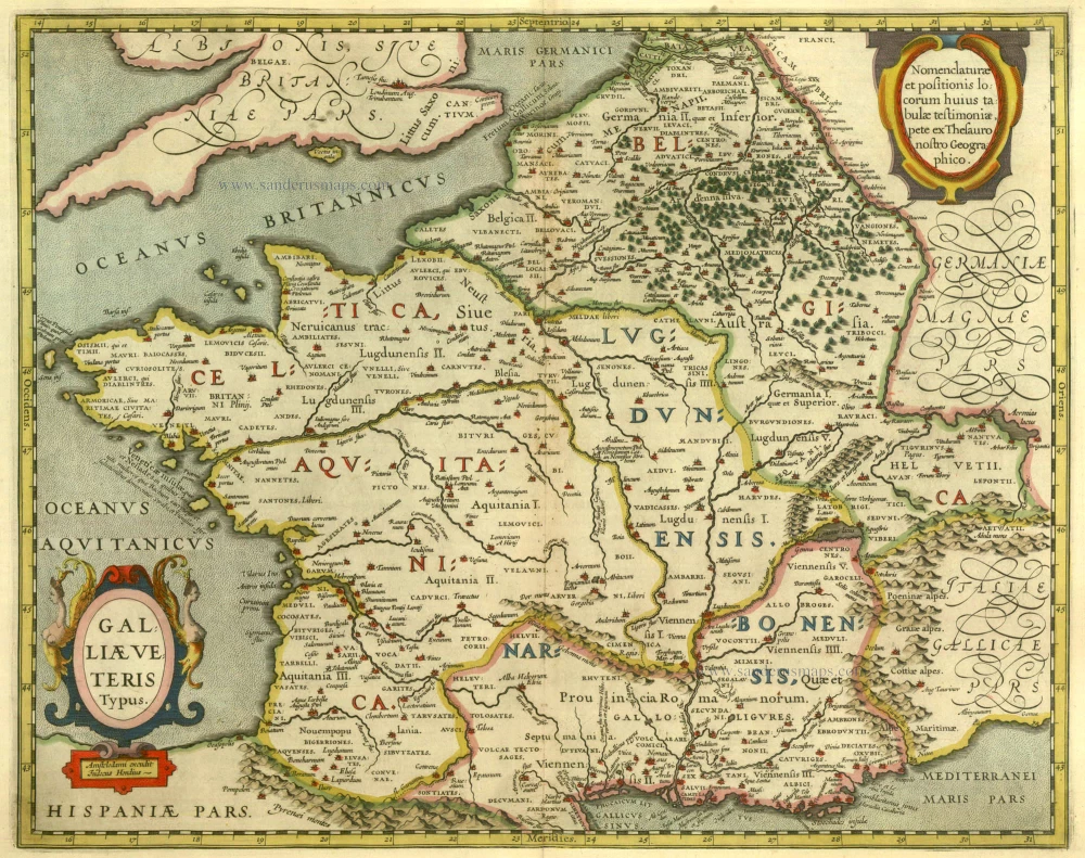
Galliae Veteris Typus. 1630
Ancient France by Janssonius J.
[Item number: 6911]

Das gantz Franckreich, so vorzeiten Narbonensis, Lugdunensis, Belgica und Celtica ist genennt worden. 1588
France by Sebastian Münster.
[Item number: 14634]
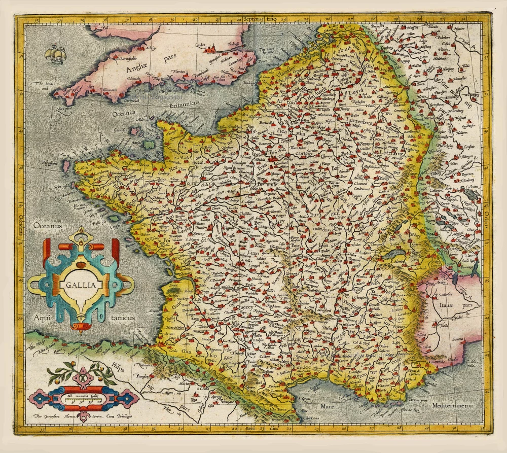
Gallia / Per Gerardum Mercatorem. 1609
France, by Gerard Mercator.
[Item number: 19119]

Galliae Veteris Typus. 1652-53
Ancient France by Joannes Janssonius.
[Item number: 20936]

Galliae Veteris. 1601
France, by Ortelius A.
[Item number: 21253]

[No title] 1607
France, by Jodocus Hondius.
[Item number: 25294]

Rare!
Galliae Amplissimi Regni Tabula. 1593
France, by Gerard de Jode.
[Item number: 26035]

Galliae Antiquae Descriptio Geograpfica. 1659
Ancient France by Nicolas Sanson, published by Melchior Tavernier
[Item number: 30031]

Le Royaume de France et ses Acquisitions vers les Pays Bas, l'Allemagne, l'Italie et l'Espagne. 1665
France by Nicolas Sanson.
[Item number: 30082]

Description Nouvelle des Gaules. 1568
France by Sebastian Münster.
[Item number: 30539]

Gallia Vetus, ad Julii Caesaris commentaria. 1595
Ancient France by Ortelius A.
[Item number: 30941]
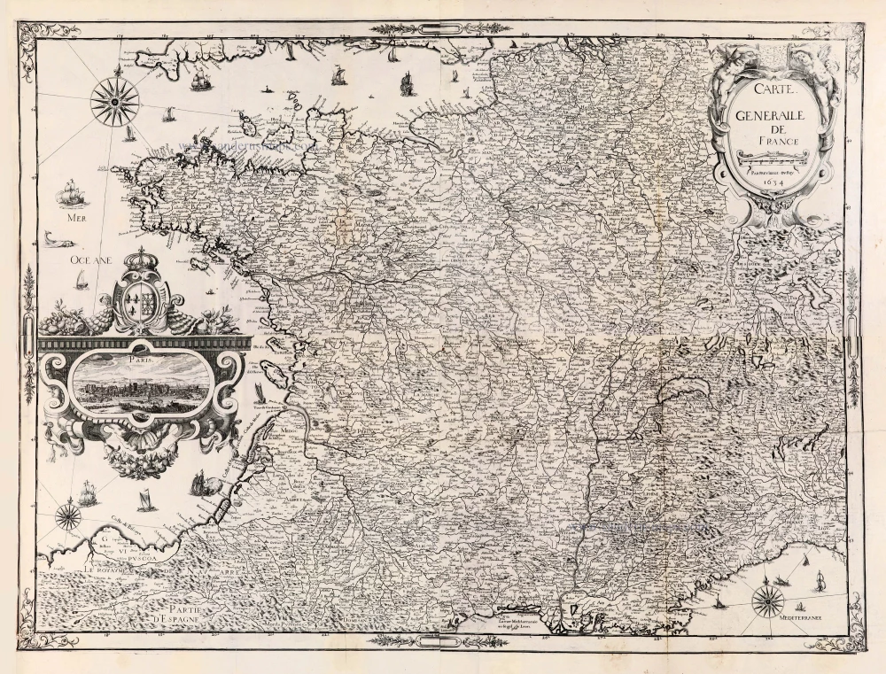
Extremely rare wall-map of France by C. Tassin, in four sheets
Carte Generalle [sic] de France. 1634-37
France, Christophe Tassin, with a panoramic view of Paris.
[Item number: 30989]

Galliae Veteris. 1624
Ancient France, by Ortelius A.
[Item number: 31191]

Gallia - Nova totius Galliae geographica descriptio, ... Ineaque archiepiscopatus, episcopatus omnes, academiae item et parlamenta singula suis quaequae notis distincta a Iuodoco Hondio. c. 1610-1650
France by Jodocus Hondius, published by Melchior Tavernier.
[Item number: 31308]

Galliae Veteris Typus. c. 1610-1650
Ancient France by Jodocus Hondius
[Item number: 31312]
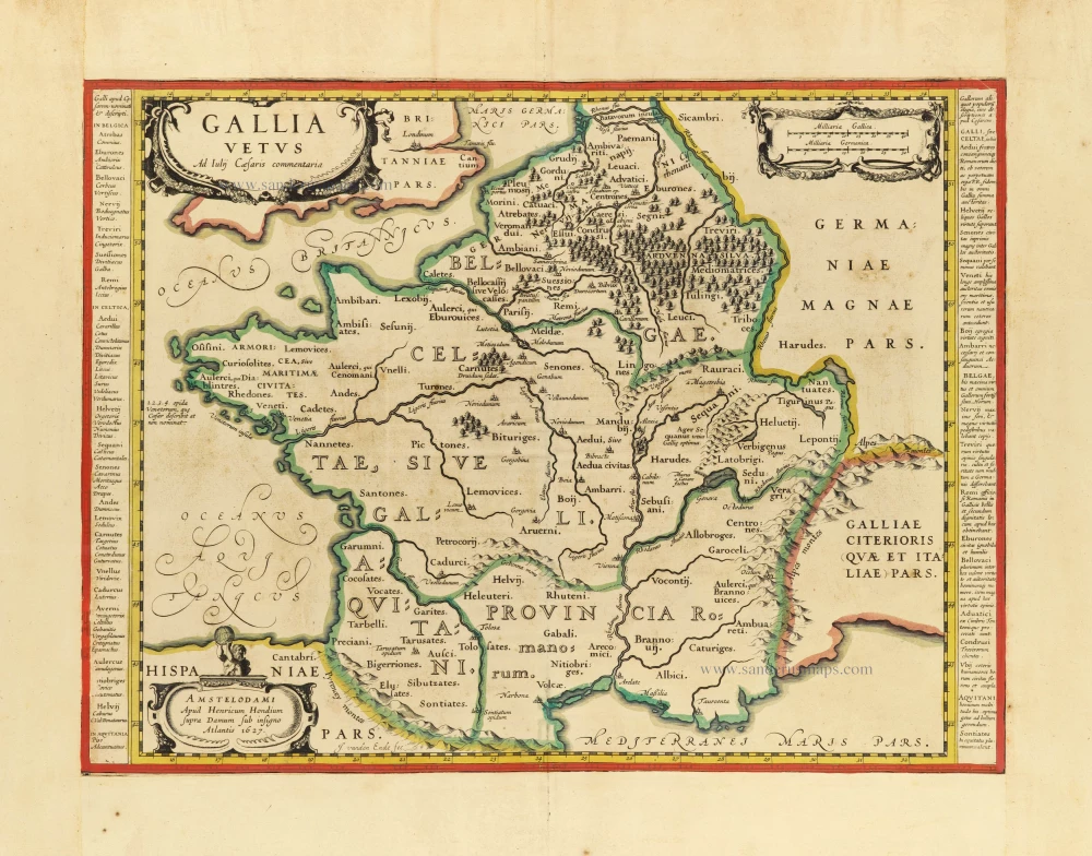
Gallia Vetus. c. 1630-1650
Ancient France by Henricus Hondius.
[Item number: 31599]
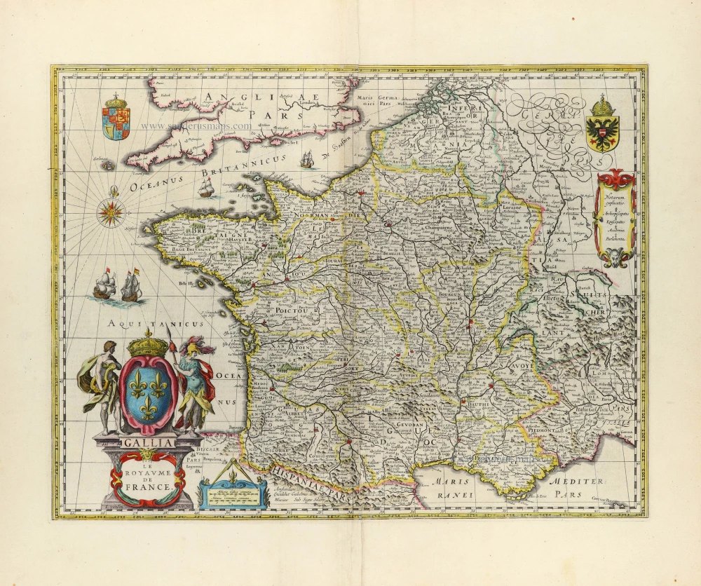
Gallia - Le Royaume de France. 1642-43
France, by Willem Blaeu.
[Item number: 32434]
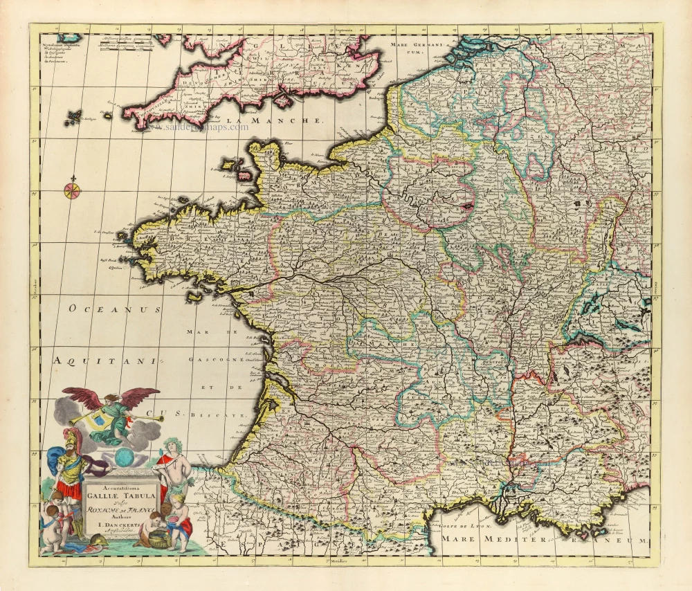
Scarce
Accuratissima Galliae Tabula Vulgo Royaume de France. c. 1680
France by Justus Danckerts
[Item number: 32463]
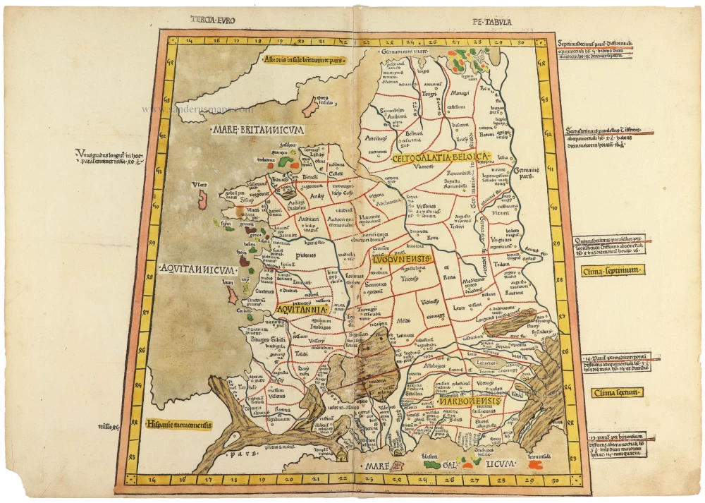
From the famous Ulm-Ptolemy atlas. 1482-1486
Tercia Europe Tabula. 1486
Ptolemy map of France, printed in Ulm by Johann Reger.
[Item number: 33070]
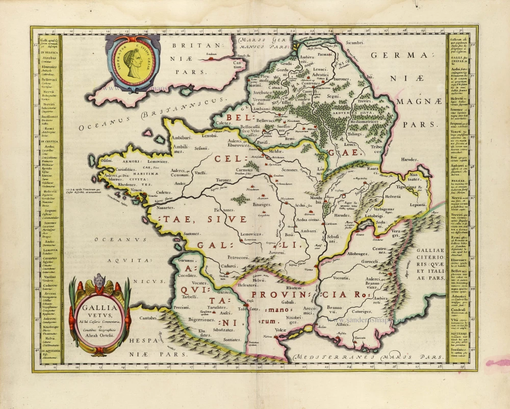
Gallia Vetus. 1635
Ancient France, by Willem Blaeu.
[Item number: 33213]
new

Totius Regni Galliae Sive Franciae et Navarrae Novißima Tabula. 1712
France by Johann Baptist Homann.
[Item number: 33252]
new