
Greece by Abraham Ortelius 1572
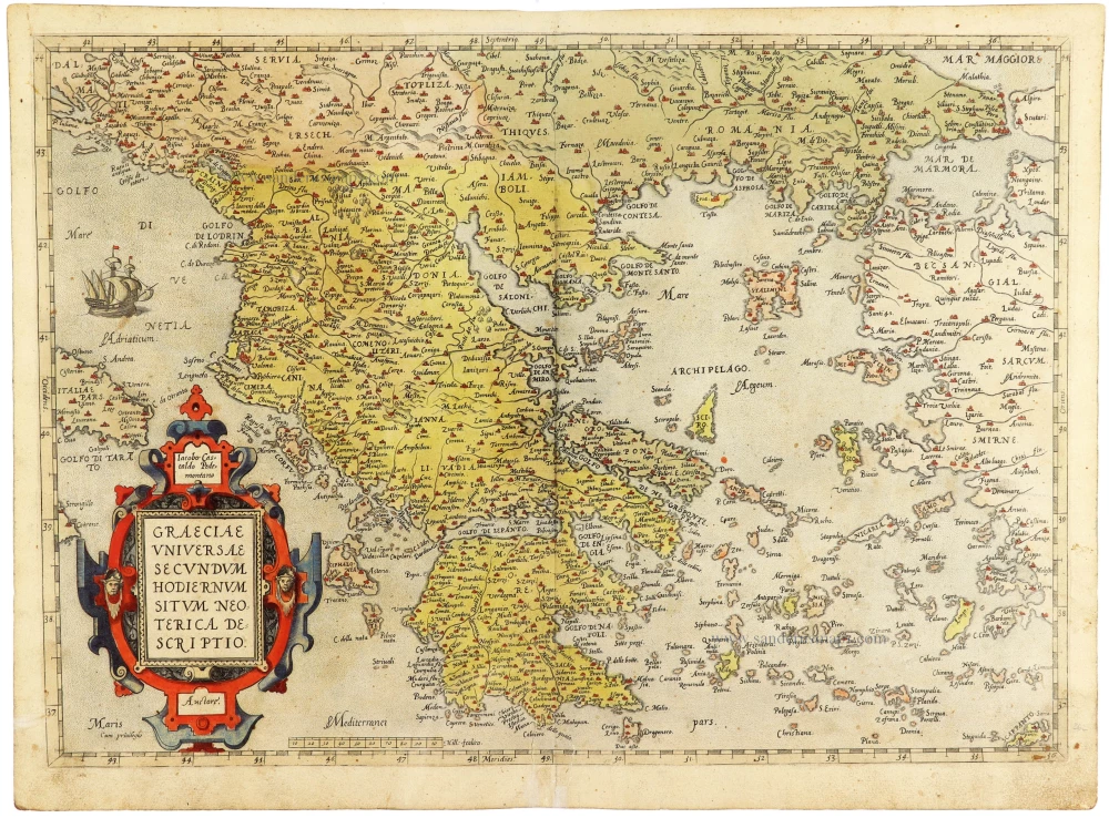
A magnificent early impression of Abraham Ortelius's celebrated map of Greece, published in the first German edition of his Theatrum Orbis Terrarum in 1572, only two years after the atlas's original appearance in 1570. Based on the geographical work of the distinguished Italian cartographer Giacomo Gastaldi, the map is one of the earliest printed representations of modern Greece to appear in a systematically organised atlas.
The map encompasses the Greek mainland, the Peloponnese, the Aegean archipelago, the Ionian Islands and the western coast of Asia Minor. To the north it extends across Albania, Macedonia and Thrace, while the Adriatic and Aegean seas occupy much of the western and eastern portions of the composition.
The extraordinarily intricate coastline of Greece is depicted in considerable detail, with its numerous gulfs, peninsulas, islands and harbours carefully identified. Hundreds of towns, villages, rivers, mountains, and coastal features are named, reflecting the geographical knowledge available to European cartographers in the mid-sixteenth century.
Particularly noteworthy is the title's reference to a Neoterica Descriptio, or modern description, distinguishing the map from the reconstructions of ancient Greek geography that were also popular during the Renaissance.
The geographical nomenclature combines classical place names with medieval and contemporary Italian and Ottoman names, illustrating the complex historical and political circumstances of the eastern Mediterranean during the sixteenth century.
The Aegean Sea is especially richly detailed, with its numerous islands individually identified. The representation of the Greek mainland and its surrounding territories reflects the cartographical influence of Giacomo Gastaldi, one of the foremost Italian geographers of the Renaissance, whose work Ortelius used extensively.
The map is embellished with a magnificent Renaissance strapwork title cartouche in the lower left corner, decorated with grotesque masks, scrolling ornaments and architectural elements. Its vivid original colouring, particularly the striking reds and blues, makes it one of the composition's most attractive decorative features. A finely engraved sailing ship appears in the Adriatic Sea, recalling the region's commercial and maritime importance. The coastlines, islands and territorial divisions are delicately enhanced with contemporary hand colouring.
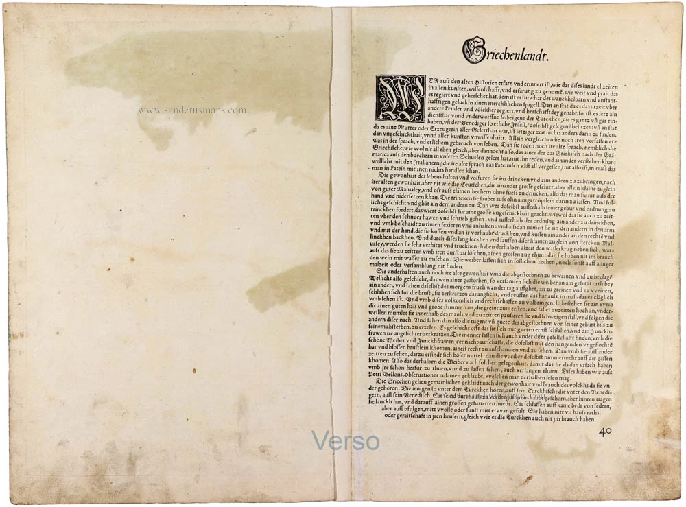
The present map was included in the atlas from its first edition and is based on the geographical work of Giacomo Gastaldi, whose authorship is explicitly acknowledged in the title. This early publication helped make Ortelius's revolutionary geographical work accessible to a German-speaking readership. The German text on the verso identifies the map as belonging to this important early phase of the atlas's publication history.
The map was printed only two years after the first appearance of the Theatrum, making it a particularly desirable early example of one of Ortelius's most celebrated regional maps.
A splendid, originally coloured early impression of Ortelius's important map of Greece, from the first German edition of 1572. Its early publication date, magnificent Renaissance cartouche and attractive contemporary colouring make it a particularly desirable example of sixteenth-century Flemish cartography.
Abraham Ortelius (1527-1598)
The maker of the 'first atlas', the Theatrum Orbis Terrarum (1570), was born on 4 April 1527 into an old Antwerp family. He learned Latin and studied Greek and mathematics.
Abraham and his sisters, Anne and Elizabeth, took up map colouring. Ortelius was admitted to the Guild of St. Luke as an "illuminator of maps." In addition to colouring maps, Ortelius was a dealer in antiques, coins, maps, and books, and the book and map trade gradually became his primary occupation.
Business went well because his means allowed him to amass an extensive collection of medals, coins, and antiques, as well as a library of many volumes. In addition, he travelled extensively, visited Italy and France, made contacts with scholars and editors everywhere, and maintained extensive correspondence with them.
In 1564, he published his first map, a large and ambitious world wall map. The inspiration for this map may well have been Gastaldi's large world map. In 1565, he published a map of Egypt and a map of the Holy Land; a large map of Asia followed.
In 1568, the production of individual maps for his atlas Theatrum Orbis Terrarum was already in full swing. He completed the atlas in 1569, and in May 1570, it was available for sale. It was one of the most expensive books ever published.
This first edition contained seventy maps on fifty-three sheets. Franciscus Hogenberg engraved the maps.
Later editions included Additamenta (additions), resulting in Ortelius' historical atlas, the Parergon, which is mainly bound together with the atlas. The Parergon can be considered a truly original work by Ortelius, who drew the maps based on his research.
The importance of the Theatrum Orbis Terrarum for geographical knowledge in the last quarter of the sixteenth century is difficult to overemphasise. Nothing was like it until Mercator's atlas appeared twenty-five years later. Demand for the Theatrum was remarkable. Some 24 editions appeared during Ortelius's lifetime, and another 10 after he died in 1598. Editions were published in Dutch, German, French, Spanish, English, and Italian. The number of map sheets grew from 53 in 1570 to 167 in the last edition in 1612.
In 1577, engraver Philip Galle and poet-translator Pieter Heyns published the first pocket-sized edition of the Theatrum, the Epitome. The work was trendy. Over thirty editions of this Epitome were published in different languages.
Ortelius is also remembered for an early idea resembling continental drift: he suggested that the Americas, Europe, and Africa may once have been joined together before separating over time. His work helped shape the development of modern geography and mapmaking.
Graeciae Universae Secundum Hodiernum Situm Neoterica Descriptio.
Item Number: 33378 new Authenticity Guarantee
Category: Antique maps > Europe > Greece & Greek Islands
Greece by Abraham Ortelius.
Title: Graeciae Universae Secundum Hodiernum Situm Neoterica Descriptio.
Iacobo Castaldo Pedemontano Auctore.
Cum privilegio.
Cartographer: Jacob Gastaldi.
Date of the first edition: 1570.
Date of this map: 1572.
Copper engraving, printed on paper.
Image size: 365 x 510mm (14¼ x 20 inches).
Sheet size: 400 x 540mm (15¾ x 21¼ inches).
Verso: German text.
Condition: Original coloured, excellent.
Condition Rating: A+.
From: Theatrum oder Schawplatz des Erdbodems. Antwerpen, Gielis Coppens van Diest, 1572. (Van der Krogt, 3, 201)
A magnificent early impression of Abraham Ortelius's celebrated map of Greece, published in the first German edition of his Theatrum Orbis Terrarum in 1572, only two years after the atlas's original appearance in 1570. Based on the geographical work of the distinguished Italian cartographer Giacomo Gastaldi, the map is one of the earliest printed representations of modern Greece to appear in a systematically organised atlas.
The map encompasses the Greek mainland, the Peloponnese, the Aegean archipelago, the Ionian Islands and the western coast of Asia Minor. To the north it extends across Albania, Macedonia and Thrace, while the Adriatic and Aegean seas occupy much of the western and eastern portions of the composition.
The extraordinarily intricate coastline of Greece is depicted in considerable detail, with its numerous gulfs, peninsulas, islands and harbours carefully identified. Hundreds of towns, villages, rivers, mountains, and coastal features are named, reflecting the geographical knowledge available to European cartographers in the mid-sixteenth century.
Particularly noteworthy is the title's reference to a Neoterica Descriptio, or modern description, distinguishing the map from the reconstructions of ancient Greek geography that were also popular during the Renaissance.
The geographical nomenclature combines classical place names with medieval and contemporary Italian and Ottoman names, illustrating the complex historical and political circumstances of the eastern Mediterranean during the sixteenth century.
The Aegean Sea is especially richly detailed, with its numerous islands individually identified. The representation of the Greek mainland and its surrounding territories reflects the cartographical influence of Giacomo Gastaldi, one of the foremost Italian geographers of the Renaissance, whose work Ortelius used extensively.
The map is embellished with a magnificent Renaissance strapwork title cartouche in the lower left corner, decorated with grotesque masks, scrolling ornaments and architectural elements. Its vivid original colouring, particularly the striking reds and blues, makes it one of the composition's most attractive decorative features. A finely engraved sailing ship appears in the Adriatic Sea, recalling the region's commercial and maritime importance. The coastlines, islands and territorial divisions are delicately enhanced with contemporary hand colouring.
The present map was included in the atlas from its first edition and is based on the geographical work of Giacomo Gastaldi, whose authorship is explicitly acknowledged in the title. This early publication helped make Ortelius's revolutionary geographical work accessible to a German-speaking readership. The German text on the verso identifies the map as belonging to this important early phase of the atlas's publication history.
The map was printed only two years after the first appearance of the Theatrum, making it a particularly desirable early example of one of Ortelius's most celebrated regional maps.
A splendid, originally coloured early impression of Ortelius's important map of Greece, from the first German edition of 1572. Its early publication date, magnificent Renaissance cartouche and attractive contemporary colouring make it a particularly desirable example of sixteenth-century Flemish cartography.
Abraham Ortelius (1527-1598)
The maker of the 'first atlas', the Theatrum Orbis Terrarum (1570), was born on 4 April 1527 into an old Antwerp family. He learned Latin and studied Greek and mathematics.
Abraham and his sisters, Anne and Elizabeth, took up map colouring. Ortelius was admitted to the Guild of St. Luke as an "illuminator of maps." In addition to colouring maps, Ortelius was a dealer in antiques, coins, maps, and books, and the book and map trade gradually became his primary occupation.
Business went well because his means allowed him to amass an extensive collection of medals, coins, and antiques, as well as a library of many volumes. In addition, he travelled extensively, visited Italy and France, made contacts with scholars and editors everywhere, and maintained extensive correspondence with them.
In 1564, he published his first map, a large and ambitious world wall map. The inspiration for this map may well have been Gastaldi's large world map. In 1565, he published a map of Egypt and a map of the Holy Land; a large map of Asia followed.
In 1568, the production of individual maps for his atlas Theatrum Orbis Terrarum was already in full swing. He completed the atlas in 1569, and in May 1570, it was available for sale. It was one of the most expensive books ever published.
This first edition contained seventy maps on fifty-three sheets. Franciscus Hogenberg engraved the maps.
Later editions included Additamenta (additions), resulting in Ortelius' historical atlas, the Parergon, which is mainly bound together with the atlas. The Parergon can be considered a truly original work by Ortelius, who drew the maps based on his research.
The importance of the Theatrum Orbis Terrarum for geographical knowledge in the last quarter of the sixteenth century is difficult to overemphasise. Nothing was like it until Mercator's atlas appeared twenty-five years later. Demand for the Theatrum was remarkable. Some 24 editions appeared during Ortelius's lifetime, and another 10 after he died in 1598. Editions were published in Dutch, German, French, Spanish, English, and Italian. The number of map sheets grew from 53 in 1570 to 167 in the last edition in 1612.
In 1577, engraver Philip Galle and poet-translator Pieter Heyns published the first pocket-sized edition of the Theatrum, the Epitome. The work was trendy. Over thirty editions of this Epitome were published in different languages.
Ortelius is also remembered for an early idea resembling continental drift: he suggested that the Americas, Europe, and Africa may once have been joined together before separating over time. His work helped shape the development of modern geography and mapmaking.
Related items

Parergon map
Graecia, Sophiani. 1624
Greece, by Ortelius A.
[Item number: 2050]
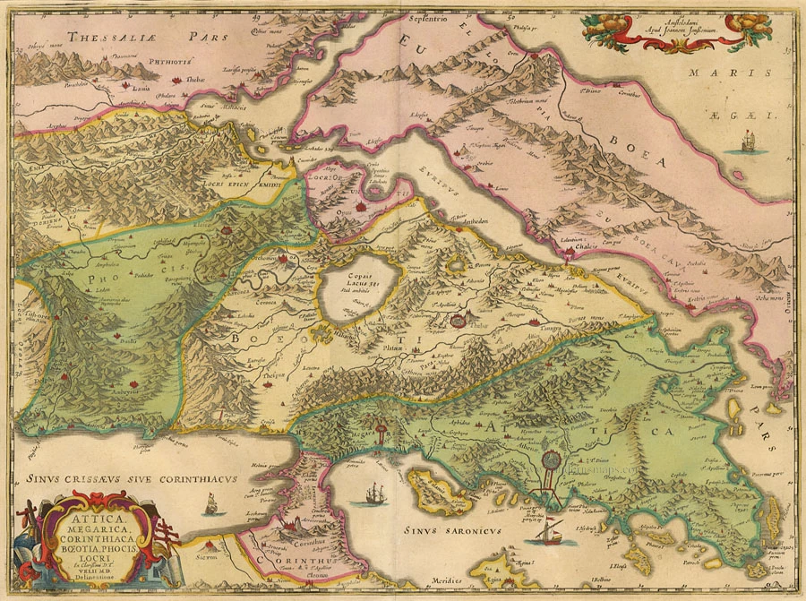
Attica, Megarica, Corinthiaca ... 1684
Greece - Attiki, by Janssonius à Waesberghe - Hornius.
[Item number: 10918]
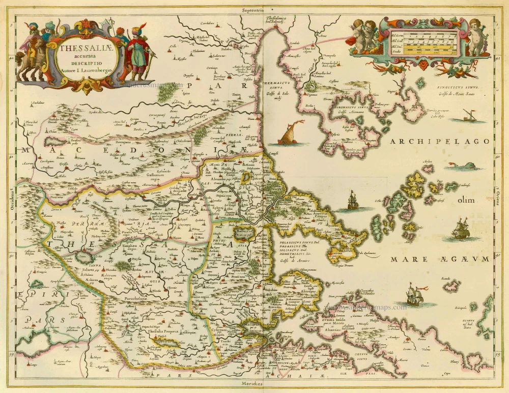
Thessaliae Accurata Descriptio 1658
Greece - Thessalia by Janssonius J.
[Item number: 12300]

Tabula Europae X 1542
Greece, by Sebastian Münster.
[Item number: 14704]

Nova Totius Graeciae descriptio. 1638
Greece, by J. Janssonius.
[Item number: 15357]

Graecia. 1633
Greece, by Gerard Mercator.
[Item number: 16999]

Graeciae Universae Secundum Hodiernum Situm Neoterica Descriptio. Jacobo Castaldo Pedemontano Autore. 1608
Greece, by Matthias Quad.
[Item number: 18856]

Carte de la Grèce contenant l'Etat present de l'Eglise Grecque & ce qui regarde les Ecclésiastiques 1719
GREECE by Châtelain
[Item number: 19126]

Graeciae Universae Secundum Hodiernum Situm Neoterica Descriptio. 1592
Greece by Abraham Ortelius.
[Item number: 22970]

Graecia Sophiani / Ex conatibus geographicis Abrahami Ortelii Antuerpiensis Ao. 1596 / Judocus Hondius excudit. 1618
Greece, by Bertius P. - Hondius J.
[Item number: 24541]

La nouvelle Grece selon toutes les regions & provinces d'icelle tant deca que de la l'Hellespont. 1555
Greece, by S. Munster.
[Item number: 25168]

Turquie en Europe. 1713
Greece, by P. Van der Aa.
[Item number: 26076]
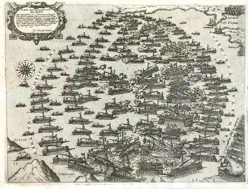
Important and rare print.
Al Molto Mag.co Sig. Gentile Carbonana da Gubio. Qui rappresento a V.S. brevemente il Successo della mirabile vittoria della armata di la S.ta Lega christiana contra la potentissima et orgogliosa di Sultan Di Vinegia l Anno 1572. c. 1575
Battle of Lepanto (Greece), by Giovanni Francesco Camocio.
[Item number: 27633]

Carte de la Grece. 1725-50
Greece by Reinier & Josua Ottens
[Item number: 27699]

Graeciae Antiquae 1776-79
Ancient Greece, by Paolo Santini, after Jean-Baptiste Bourguignon d'Anville.
[Item number: 28108]

Ta Moder Bossinae, Serviae, Graeciae, et Sclavoniae. [From verso] 1525
Greece (Balkan), by Lorenz Fries after Martin Waldseemüller.
[Item number: 28117]

Graecia. 1658
Greece by Nicolas Sanson.
[Item number: 28498]

Graeciae Antique Tabula Geographica; 1699-1710
Greece by Nicolas & Guillaume Sanson.
[Item number: 28575]
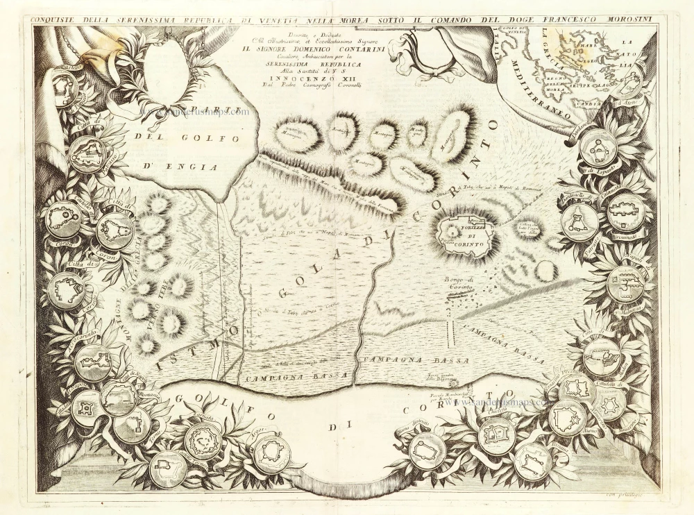
Conquista della Serenissima Republica di Venetia nella Morea sotto il comando del Doge Francesco Morosini. 1696
Greece - the Isthmus gorge of Corinth, by Vincenzo Coronelli.
[Item number: 28976]

Peloponneso, hoggidi Morea. 1696
Peloponnisos by Vincenzo Coronelli.
[Item number: 29067]
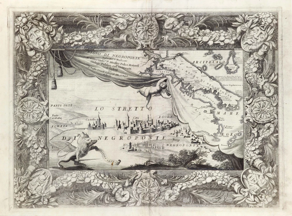
Regno di Negroponte. 1696
Greece - Euboea - Negroponte, by Vincenzo Coronelli.
[Item number: 29069]

Carte Historique et Géographique de l'ancienne Grèce, avec les remarques Cursieuses pour l'intelligence de l'Histoire. 1713
Greece by Zacharias Châtelain.
[Item number: 29553]

Graecia - Graeciae Antiquae Tabulam. 1652
Ancient Greece by Nicolas Sanson.
[Item number: 29693]

Arcipelago - [Above map :] Descrittione dell'Arcipelago. 1590
Greece by Thomaso Porcacchi.
[Item number: 29769]

Antiquorum Illyrici Orientalis Episcopatuum Geographica Descriptio. 1679
Ancient Greece by Melchior Tavernier.
[Item number: 30036]
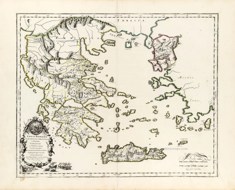
Graecia foederata sub Agamemnone, ob Helenae raptum in Troiam Coniurans ex Homero collecta. 1665
Ancient Greece by Guillaume Sanson.
[Item number: 30039]

La Moree et les Isles de Zante, Cefalonie, Ste Maure, Cerigo &c. 1692
Greece - Peloponnese by N. Sanson, so-called published by Hubert Jaillot. (Pirated edition by Pierre Mortier).
[Item number: 31197]

Modon. c. 1690
Methoni (Greece) by J. Peeters.
[Item number: 31379]

Coron. c. 1690
Koroni (Greece) by J. Peeters.
[Item number: 31380]

Graecia. 1640
Greece, by Joan Blaeu.
[Item number: 31626]

La Grecia divisa nelle sue Provincie. 1779-1785
Greece & Albania, by Antonio Zatta.
[Item number: 32307]

Fluviorum in Europa Principis Danubii cum adiaceniibus Regnis, nec non Totius Graeciae et Archipelagi Novißima Tabula. 1712
Greece and the course of the Donau, by J.B. Homann.
[Item number: 32397]

Peloponnesus hodie Moreae Regnum Distincte Divisum, in Omnes suas Provincias, Hodiernas atque Veteres, cui et Adiunguntur Insulae Cefalonia, Zante, Cerigo et St. Maura. c. 1680
Greece - Peloponnesus, by Justus Danckerts
[Item number: 32514]

La Grecia Universale Antica Paragonata con la Moderna da Giacomo Cantelli da Vignola 1687
Ancient Greece, by Giacomo Cantelli da Vignola, and published by Giovanni de Rossi.
[Item number: 32956]

Graecia. 1619
Greece, by Gerard Mercator.
[Item number: 33210]
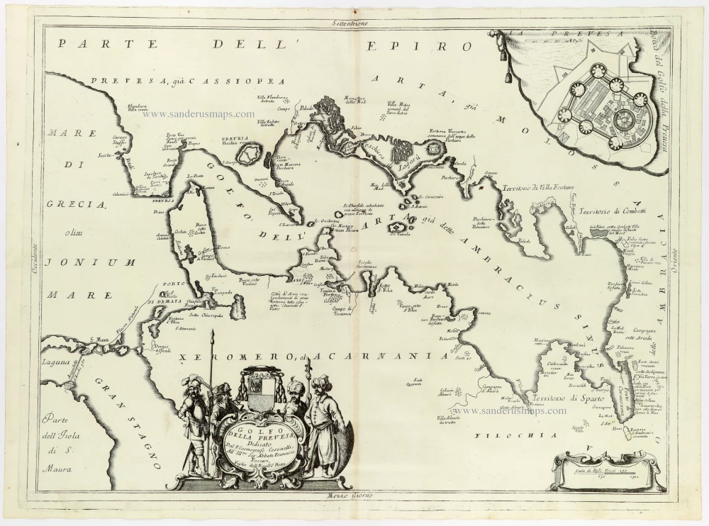
Golfo della Prevesa, 1691
Northwest Greece, by Coronelli V.M.
[Item number: 33347]
new