
Greece, by Gerard Mercator. 1619

Gerard Mercator (1512 – 1594)
Gerard Mercator was born Gerard de Cremere in Rupelmonde (near Antwerp) on 5 March 1512.
Young Gerard learned what Latin he could in Rupelmonde, and when he was about fifteen, his uncle sent him to s'Hertogenbosch to study at a school run by the Brothers of the Common Life. One of Mercator’s teachers was the celebrated humanist Macropedius. After three and a half years with the brothers, Gerard went to Louvain, where he enrolled in the university in 1530 as one of the poor students at Castle College.
By this time, he had Latinized his name to Mercator. He studied philosophy and took his master’s degree in 1532. The problems of the creation of the Universe and the Earth interested him in particular, and this is reflected in his works written in later years.
After spending a few years in Antwerp, he returned to Louvain in c. 1535, where he took courses in mathematics under Gemma Frisius. Soon, he was recognised as an expert on the construction of mathematical instruments, as a land surveyor and, after 1537, as a cartographer. He drew his income from these activities after his marriage on August 3, 1536. He also qualified himself as a copper engraver, the first to introduce italic handwriting to this trade. The first maps, drawn and engraved by Gerard Mercator, are Palestine, 1537; the World in double heart-shaped projection, 1538; and Flanders, 1540.
In 1544, Mercator came into great danger: he was arrested on the accusation of heresy and put into jail. Thanks to the intervention of the University of Louvain, he was released after four months. In 1552, he moved with his family to Duisburg (Germany). In 1560, Mercator became a cosmographer in service of the Duke of Jülich-Cleve-Berge, and in 1563, he became a lecturer at the Grammar School of the new University in Duisburg. During this period, he made wall maps of Europe, 1554; of Loraine, 1564; the British Isles, 1564; and the famous world map with increasing latitudes, 1569. About this time, Mercator was also working on the project for a complete description of the creation, the Heavens, Earth, Sea and world history. This resulted in his Atlas, sive cosmographicae meditationes de fabrica mundi et fabricati figura. He also worked on an edition of Ptolemy’s Geographia in 1578. The first part of his book, which contains modern maps (France, Germany, and the Netherlands), appeared in 1585.
Shortly after the publication of the second part of his map book (not yet called Atlas) with the maps of Italy (1589), he had a stroke that ended his highly significant productivity. The great man passed away on 2 December 1594, leaving the responsibility of finishing the map book to his son Rumold. The final part of it appeared in 1595. Its title is Pars Altera, and it constitutes an essential part of what was then called Mercator’s Atlas.
The map of Europe and the world map in the Atlas are by Rumold Mercator. After Rumold died in 1599, the Atlas was reissued in 1602.
The plates of the maps, both of the Ptolemy edition and the Atlas, were sold in 1604 to Jodocus Hondius of Amsterdam. The following year, Hondius managed to bring out Ptolemy’s Geographia. In 1606, the first Amsterdam edition of the Mercator Atlas appeared in the next year. From then to 1638, the Atlas saw many enlarged editions in various languages.
Graecia.
Item Number: 33210 Authenticity Guarantee
Category: Antique maps > Europe > Greece & Greek Islands
Greece, by Gerard Mercator.
Title: Graecia.
Per Gerardum Mercatorem Cum Privilegio.
Date of the first edition: 1595.
Date of this map: 1619.
Copper engraving, printed on paper.
Image size: 360 x 468mm (14¼ x 18½ inches).
Sheet size: 470 x 570mm (18½ x 22½ inches).
Verso: French text.
Condition: Excellent.
Condition Rating: A+.
From: Gerardi Mercatoris - Atlas sive Cosmographicae Meditationes de Fabrica Mundi et Fabricati Figura. Sumptibus & typis aeneis Iudoci Hondij, Amsterodami An. D. 1619. (Van der Krogt 1, 113)
Gerard Mercator (1512 – 1594)
Gerard Mercator was born Gerard de Cremere in Rupelmonde (near Antwerp) on 5 March 1512.
Young Gerard learned what Latin he could in Rupelmonde, and when he was about fifteen, his uncle sent him to s'Hertogenbosch to study at a school run by the Brothers of the Common Life. One of Mercator’s teachers was the celebrated humanist Macropedius. After three and a half years with the brothers, Gerard went to Louvain, where he enrolled in the university in 1530 as one of the poor students at Castle College.
By this time, he had Latinized his name to Mercator. He studied philosophy and took his master’s degree in 1532. The problems of the creation of the Universe and the Earth interested him in particular, and this is reflected in his works written in later years.
After spending a few years in Antwerp, he returned to Louvain in c. 1535, where he took courses in mathematics under Gemma Frisius. Soon, he was recognised as an expert on the construction of mathematical instruments, as a land surveyor and, after 1537, as a cartographer. He drew his income from these activities after his marriage on August 3, 1536. He also qualified himself as a copper engraver, the first to introduce italic handwriting to this trade. The first maps, drawn and engraved by Gerard Mercator, are Palestine, 1537; the World in double heart-shaped projection, 1538; and Flanders, 1540.
In 1544, Mercator came into great danger: he was arrested on the accusation of heresy and put into jail. Thanks to the intervention of the University of Louvain, he was released after four months. In 1552, he moved with his family to Duisburg (Germany). In 1560, Mercator became a cosmographer in service of the Duke of Jülich-Cleve-Berge, and in 1563, he became a lecturer at the Grammar School of the new University in Duisburg. During this period, he made wall maps of Europe, 1554; of Loraine, 1564; the British Isles, 1564; and the famous world map with increasing latitudes, 1569. About this time, Mercator was also working on the project for a complete description of the creation, the Heavens, Earth, Sea and world history. This resulted in his Atlas, sive cosmographicae meditationes de fabrica mundi et fabricati figura. He also worked on an edition of Ptolemy’s Geographia in 1578. The first part of his book, which contains modern maps (France, Germany, and the Netherlands), appeared in 1585.
Shortly after the publication of the second part of his map book (not yet called Atlas) with the maps of Italy (1589), he had a stroke that ended his highly significant productivity. The great man passed away on 2 December 1594, leaving the responsibility of finishing the map book to his son Rumold. The final part of it appeared in 1595. Its title is Pars Altera, and it constitutes an essential part of what was then called Mercator’s Atlas.
The map of Europe and the world map in the Atlas are by Rumold Mercator. After Rumold died in 1599, the Atlas was reissued in 1602.
The plates of the maps, both of the Ptolemy edition and the Atlas, were sold in 1604 to Jodocus Hondius of Amsterdam. The following year, Hondius managed to bring out Ptolemy’s Geographia. In 1606, the first Amsterdam edition of the Mercator Atlas appeared in the next year. From then to 1638, the Atlas saw many enlarged editions in various languages.
Related items

Parergon map
Graecia, Sophiani. 1624
Greece, by Ortelius A.
[Item number: 2050]
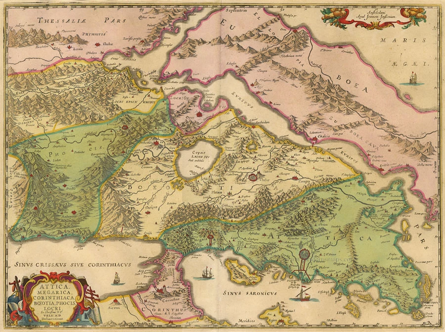
Attica, Megarica, Corinthiaca ... 1684
Greece - Attiki, by Janssonius à Waesberghe - Hornius.
[Item number: 10918]
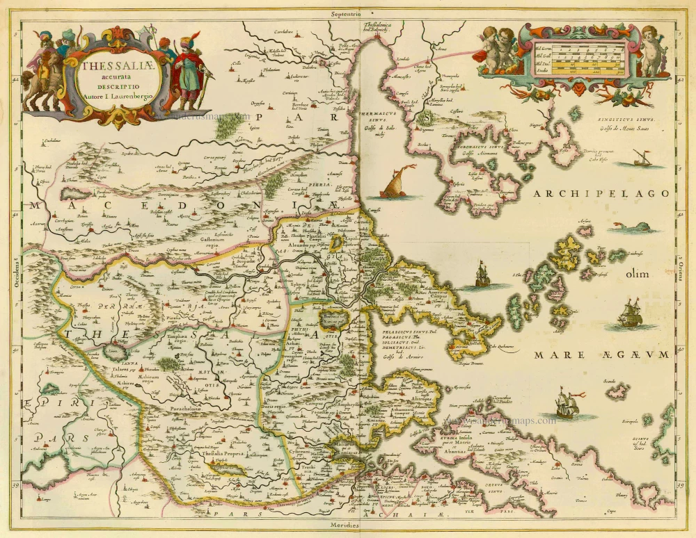
Thessaliae Accurata Descriptio 1658
Greece - Thessalia by Janssonius J.
[Item number: 12300]

Tabula Europae X 1542
Greece, by Sebastian Münster.
[Item number: 14704]

Nova Totius Graeciae descriptio. 1638
Greece, by J. Janssonius.
[Item number: 15357]

Graecia. 1633
Greece, by Gerard Mercator.
[Item number: 16999]

Graeciae Universae Secundum Hodiernum Situm Neoterica Descriptio. Jacobo Castaldo Pedemontano Autore. 1608
Greece, by Matthias Quad.
[Item number: 18856]

Carte de la Grèce contenant l'Etat present de l'Eglise Grecque & ce qui regarde les Ecclésiastiques 1719
GREECE by Châtelain
[Item number: 19126]

Graeciae Universae Secundum Hodiernum Situm Neoterica Descriptio. 1592
Greece by Abraham Ortelius.
[Item number: 22970]

Graecia Sophiani / Ex conatibus geographicis Abrahami Ortelii Antuerpiensis Ao. 1596 / Judocus Hondius excudit. 1618
Greece, by Bertius P. - Hondius J.
[Item number: 24541]

La nouvelle Grece selon toutes les regions & provinces d'icelle tant deca que de la l'Hellespont. 1555
Greece, by S. Munster.
[Item number: 25168]

Turquie en Europe. 1713
Greece, by P. Van der Aa.
[Item number: 26076]
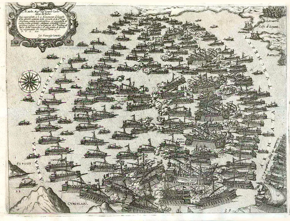
Important and rare print.
Al Molto Mag.co Sig. Gentile Carbonana da Gubio. Qui rappresento a V.S. brevemente il Successo della mirabile vittoria della armata di la S.ta Lega christiana contra la potentissima et orgogliosa di Sultan Di Vinegia l Anno 1572. c. 1575
Battle of Lepanto (Greece), by Giovanni Francesco Camocio.
[Item number: 27633]

Carte de la Grece. 1725-50
Greece by Reinier & Josua Ottens
[Item number: 27699]

Graeciae Antiquae 1776-79
Ancient Greece, by Paolo Santini, after Jean-Baptiste Bourguignon d'Anville.
[Item number: 28108]

Ta Moder Bossinae, Serviae, Graeciae, et Sclavoniae. [From verso] 1525
Greece (Balkan), by Lorenz Fries after Martin Waldseemüller.
[Item number: 28117]

Graecia. 1658
Greece by Nicolas Sanson.
[Item number: 28498]

Graeciae Antique Tabula Geographica; 1699-1710
Greece by Nicolas & Guillaume Sanson.
[Item number: 28575]
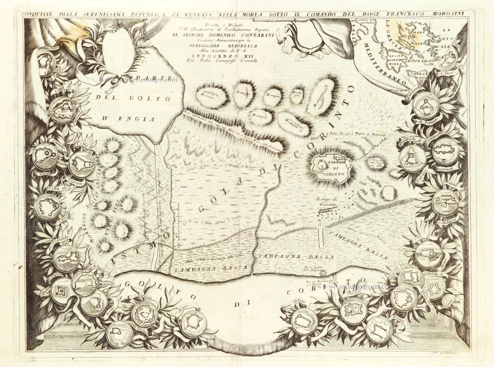
Conquista della Serenissima Republica di Venetia nella Morea sotto il comando del Doge Francesco Morosini. 1696
Greece - the Isthmus gorge of Corinth, by Vincenzo Coronelli.
[Item number: 28976]

Peloponneso, hoggidi Morea. 1696
Peloponnisos by Vincenzo Coronelli.
[Item number: 29067]
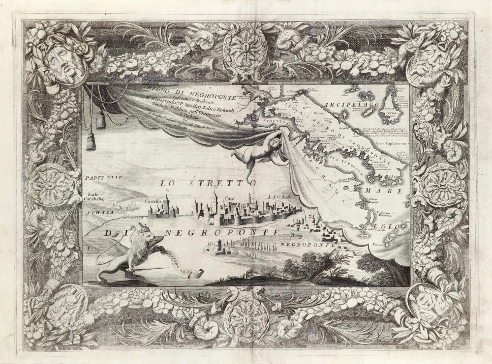
Regno di Negroponte. 1696
Greece - Euboea - Negroponte, by Vincenzo Coronelli.
[Item number: 29069]

Carte Historique et Géographique de l'ancienne Grèce, avec les remarques Cursieuses pour l'intelligence de l'Histoire. 1713
Greece by Zacharias Châtelain.
[Item number: 29553]

Graecia - Graeciae Antiquae Tabulam. 1652
Ancient Greece by Nicolas Sanson.
[Item number: 29693]

Arcipelago - [Above map :] Descrittione dell'Arcipelago. 1590
Greece by Thomaso Porcacchi.
[Item number: 29769]

Antiquorum Illyrici Orientalis Episcopatuum Geographica Descriptio. 1679
Ancient Greece by Melchior Tavernier.
[Item number: 30036]
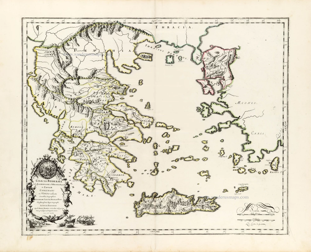
Graecia foederata sub Agamemnone, ob Helenae raptum in Troiam Coniurans ex Homero collecta. 1665
Ancient Greece by Guillaume Sanson.
[Item number: 30039]
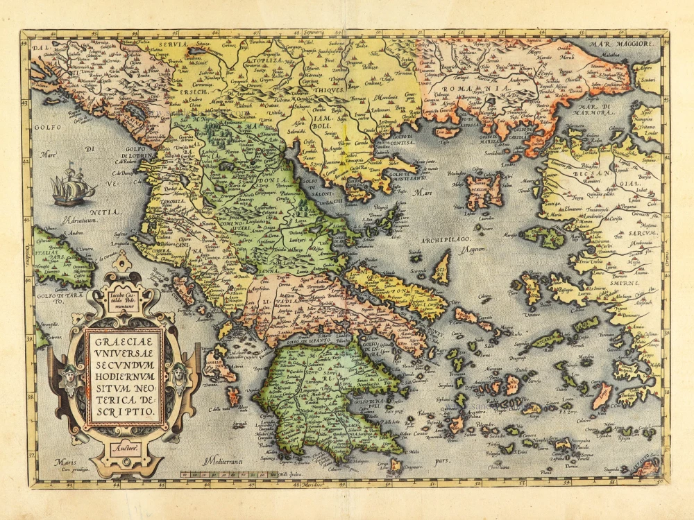
Graeciae Universae Secundum Hodiernum Situm Neoterica Descriptio. 1601
Greece by Abraham Ortelius
[Item number: 30623]

La Moree et les Isles de Zante, Cefalonie, Ste Maure, Cerigo &c. 1692
Greece - Peloponnese by N. Sanson, so-called published by Hubert Jaillot. (Pirated edition by Pierre Mortier).
[Item number: 31197]

Modon. c. 1690
Methoni (Greece) by J. Peeters.
[Item number: 31379]

Coron. c. 1690
Koroni (Greece) by J. Peeters.
[Item number: 31380]

Graecia. 1640
Greece, by Joan Blaeu.
[Item number: 31626]

La Grecia divisa nelle sue Provincie. 1779-1785
Greece & Albania, by Antonio Zatta.
[Item number: 32307]

Fluviorum in Europa Principis Danubii cum adiaceniibus Regnis, nec non Totius Graeciae et Archipelagi Novißima Tabula. 1712
Greece and the course of the Donau, by J.B. Homann.
[Item number: 32397]

Peloponnesus hodie Moreae Regnum Distincte Divisum, in Omnes suas Provincias, Hodiernas atque Veteres, cui et Adiunguntur Insulae Cefalonia, Zante, Cerigo et St. Maura. c. 1680
Greece - Peloponnesus, by Justus Danckerts
[Item number: 32514]

La Grecia Universale Antica Paragonata con la Moderna da Giacomo Cantelli da Vignola 1687
Ancient Greece, by Giacomo Cantelli da Vignola, and published by Giovanni de Rossi.
[Item number: 32956]