
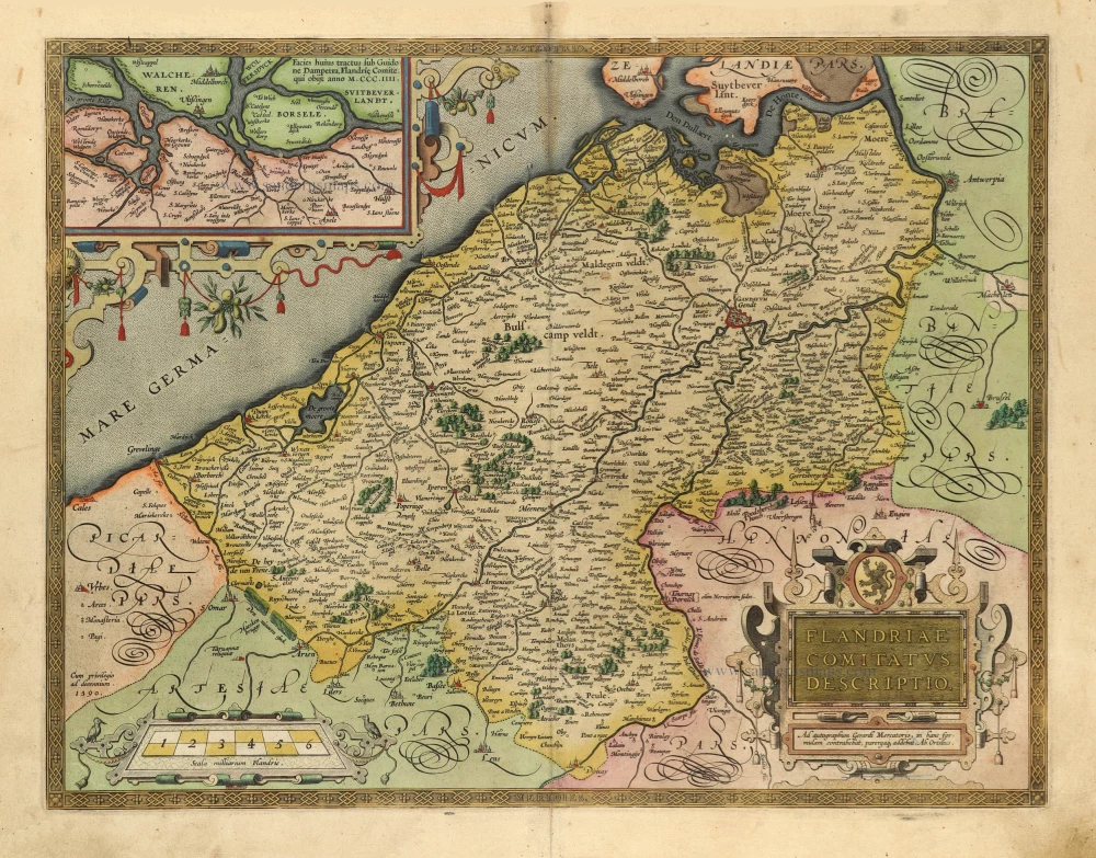
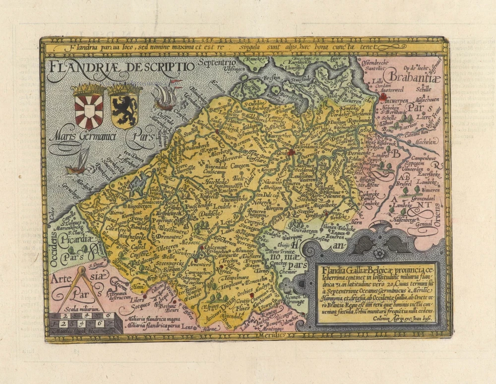
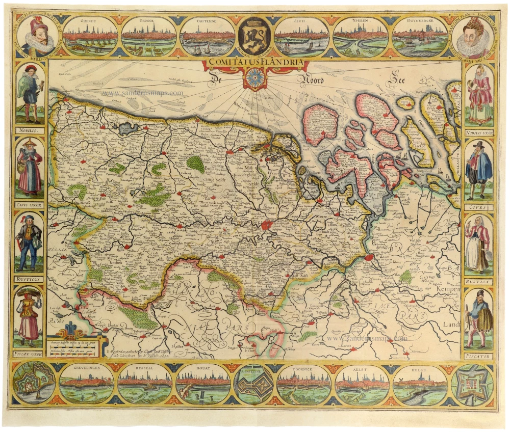
Flanders (Vlaanderen) and Zeeland, by Willem Blaeu. 1640-43

The Blaeus: Willem Janszoon, Cornelis & Joan
Willem Jansz. Blaeu and his son Joan Blaeu are the seventeenth century's most widely known cartographic publishers.
Willem Jansz. (also written Guilielmus Janssonius) = Willem Janszoon Blaeu was born in Uitgeest (Netherlands), near Alkmaar, in 1571. He studied mathematics under Tycho Brahe and learned the theory and practice of astronomical observations and the art of instrument- and globe-making.
In 1596, he came to Amsterdam, where he settled down as a globe-, instrument- and mapmaker. He published his first cartographic work (a globe) in 1599 and probably published his first printed map (a map of the Netherlands) in 1604. He specialised in maritime cartography, published the first edition of the pilot guide Het Licht der Zeevaert in 1608, and was appointed Hydrographer of the V.O.C. (United East India Company) in 1633. After publishing books, wall maps, globes, charts and pilot guides for thirty years, he brought out his first atlas, Atlas Appendix (1630). This was the beginning of the great tradition of atlas-making by the Blaeus.
In 1618, another mapmaker, bookseller and publisher, Johannes Janssonius, established himself in Amsterdam next door to Blaeu's shop. No wonder these two neighbours began accusing each other of copying and stealing their information and became fierce competitors who did not have a good word to say about each other. In about 1621 Willem Jansz. decided to end the confusion between his name and his competitor's and assumed his grandfather's nickname, 'blauwe Willem' ('blue Willem'), as the family name; after that, he called himself Willem Jansz. Blaeu.
Willem Janszoon Blaeu died in 1638, leaving his prospering business to his sons, Cornelis and Joan. We only know that Cornelis's name occurs in the prefaces of books and atlases until c. 1645.
Joan Blaeu, born in Amsterdam in 1596, became a partner in his father's book trade and printing business. 1638, he was appointed his father's successor in the Hydrographic Office of the V.O.C. His efforts culminated in the magnificent Atlas Major and the town books of the Netherlands and Italy – works unsurpassed in history and modern times, giving eternal fame to the name of the Blaeu's.
A fire ruined the business on February 23, 1672, and one year later, Dr. Joan Blaeu died. The fire and the director's passing caused the complete sale of the Blaeu House's stock. Five public auctions dispersed the remaining books, atlases, copperplates, globes, etc., among many other map dealers and publishers in Amsterdam. The majority was acquired by several booksellers acting in partnership.
In the succeeding years, the remaining printing department remained in the hands of the Blaeu family until 1695, when the printing house's inventory was sold at a public auction. That meant the end of the Blaeu family as a printing house of world renown.
Flandria et Zeelandia Comitatus.
Item Number: 27409 Authenticity Guarantee
Category: Antique maps > Europe > Belgium
Flanders (Vlaanderen) and Zeeland, by Willem Blaeu.
Title: Flandria et Zeelandia Comitatus.
Apud Guiljelmum Blaeuw.
Oriented to the northwest.
Date of the first edition: 1634.
Date of this map: 1640-43.
Copper engraving, printed on paper.
Image size: 420 x 535mm (16½ x 21 inches).
Sheet size: 535 x 630mm (21 x 24¾ inches).
Verso: Latin text.
Condition: Flanders (Vlaanderen) and Zeeland.
Condition Rating: A+.
From: Theatrum Orbis Terrarum sive Atlas novus; in quo tabulae et descriptiones omnium regionum editae a Guiljel: et Ioanne Blaeu. Amsterdam, 1640. (Van der Krogt 2, 2:201)
The Blaeus: Willem Janszoon, Cornelis & Joan
Willem Jansz. Blaeu and his son Joan Blaeu are the seventeenth century's most widely known cartographic publishers.
Willem Jansz. (also written Guilielmus Janssonius) = Willem Janszoon Blaeu was born in Uitgeest (Netherlands), near Alkmaar, in 1571. He studied mathematics under Tycho Brahe and learned the theory and practice of astronomical observations and the art of instrument- and globe-making.
In 1596, he came to Amsterdam, where he settled down as a globe-, instrument- and mapmaker. He published his first cartographic work (a globe) in 1599 and probably published his first printed map (a map of the Netherlands) in 1604. He specialised in maritime cartography, published the first edition of the pilot guide Het Licht der Zeevaert in 1608, and was appointed Hydrographer of the V.O.C. (United East India Company) in 1633. After publishing books, wall maps, globes, charts and pilot guides for thirty years, he brought out his first atlas, Atlas Appendix (1630). This was the beginning of the great tradition of atlas-making by the Blaeus.
In 1618, another mapmaker, bookseller and publisher, Johannes Janssonius, established himself in Amsterdam next door to Blaeu's shop. No wonder these two neighbours began accusing each other of copying and stealing their information and became fierce competitors who did not have a good word to say about each other. In about 1621 Willem Jansz. decided to end the confusion between his name and his competitor's and assumed his grandfather's nickname, 'blauwe Willem' ('blue Willem'), as the family name; after that, he called himself Willem Jansz. Blaeu.
Willem Janszoon Blaeu died in 1638, leaving his prospering business to his sons, Cornelis and Joan. We only know that Cornelis's name occurs in the prefaces of books and atlases until c. 1645.
Joan Blaeu, born in Amsterdam in 1596, became a partner in his father's book trade and printing business. 1638, he was appointed his father's successor in the Hydrographic Office of the V.O.C. His efforts culminated in the magnificent Atlas Major and the town books of the Netherlands and Italy – works unsurpassed in history and modern times, giving eternal fame to the name of the Blaeu's.
A fire ruined the business on February 23, 1672, and one year later, Dr. Joan Blaeu died. The fire and the director's passing caused the complete sale of the Blaeu House's stock. Five public auctions dispersed the remaining books, atlases, copperplates, globes, etc., among many other map dealers and publishers in Amsterdam. The majority was acquired by several booksellers acting in partnership.
In the succeeding years, the remaining printing department remained in the hands of the Blaeu family until 1695, when the printing house's inventory was sold at a public auction. That meant the end of the Blaeu family as a printing house of world renown.
Related items
Flandriae Comitatus Descriptio. 1601
Vlaanderen by Abraham Ortelius
[Item number: 5767]
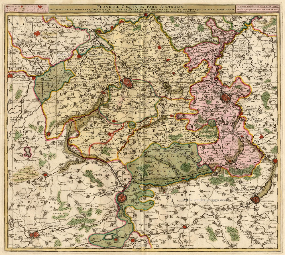
Flandriae Comitatus Pars Australis. 1683-1696
Lille par Nicolas Visscher
[Item number: 18686]

Paskaert van de Zeeusche en Vlaemsche Kusten, tonende Alle Drooghten, Diepten, en Ondiepten, tusschen t'Eylandt Schouwen en de Hoofden, Curieuselyck Beschreven door Dirck Davidsz 1667
Sea chart of Flanders (Vlaanderen) & Zeeland, by Pieter Goos.
[Item number: 19054]

Famous Mercator map of Flanders
Flandria. 1579
Vlaanderen by A. Ortelius.
[Item number: 22228]

Flandriae Comitatus Descriptio. 1612
Flanders (Vlaanderen) by Abraham Ortelius.
[Item number: 22978]

Exactissima Flandriae descriptio. Flandria, Caroli V. Aug. Imp. max. natione illustrissima, Belgice provinciae est . . . . Ad signum Bibliothecae Diui Marci. Dominicus Zenoi Venetus excidebat. Venetijs M.D.M.VIIII. 1559
Flanders (Vlaanderen) by Domenico Zenoi.
[Item number: 25774]

Spectacular 'Romain de Hooghe' map
Carte Nouvelle des Costes de Hollande, Zeelande, Flandre, Picardie, & Normandie ... Chez Pierre Mortier, 1693. 1700
Sea chart of the Channel - Flanders (Vlaanderen) - Zeeland, by Pieter Mortier.
[Item number: 27176]

Le Comté de Flandre divisé en ses Chastellenies, et Balliages, &c. Le Franc de Bruges et Le Pays de Waes. c. 1705
Flanders (Vlaanderen), by Pieter Mortier.
[Item number: 28129]
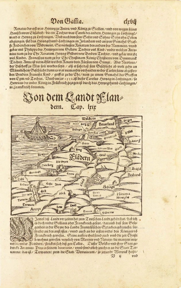
One of the oldest maps of Flanders
Flàdern. [Above map:] Von dem Landt Flandern. 1550
Flanders (Vlaanderen) by Sebastian Münster.
[Item number: 28922]

Comitatus Zelandiae Tabula. ca. 1705
Zeeland by Frederick de Wit.
[Item number: 29008]
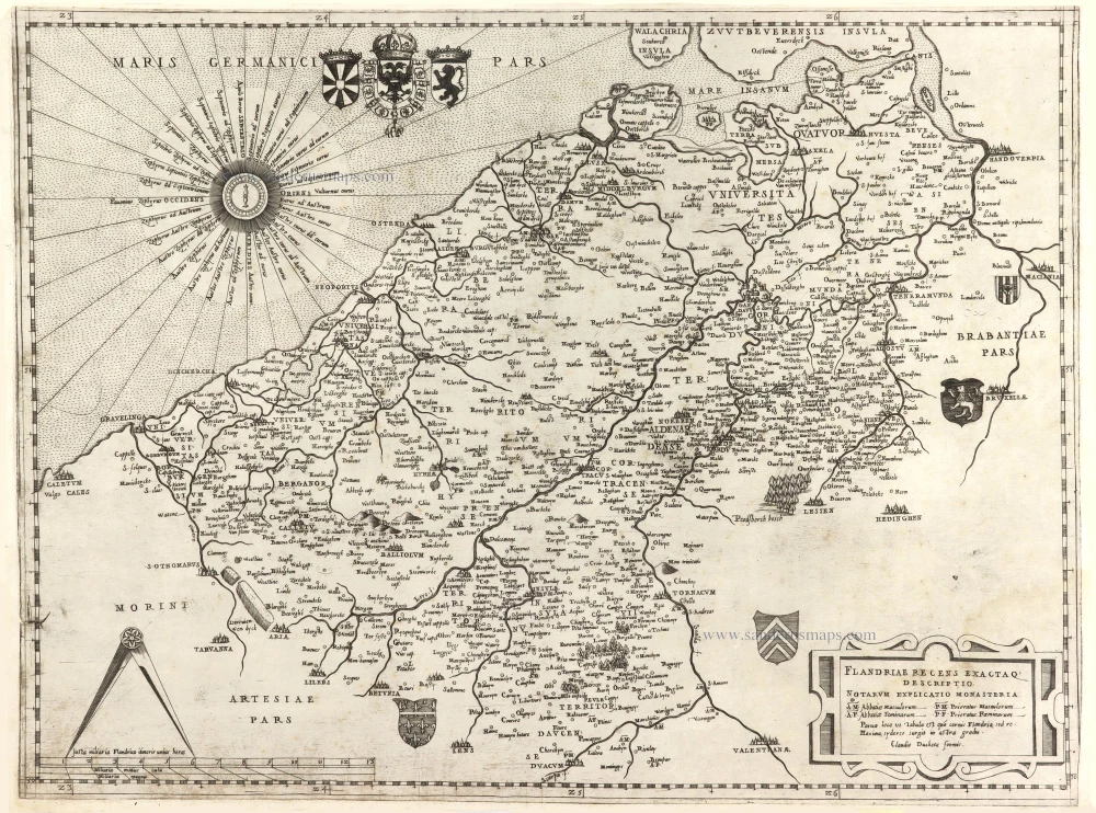
Rare.
Flandriae recens exactaq descriptio. c. 1570
Flanders, by Claudio Duchetti, after Gerard Mercator.
[Item number: 29729]
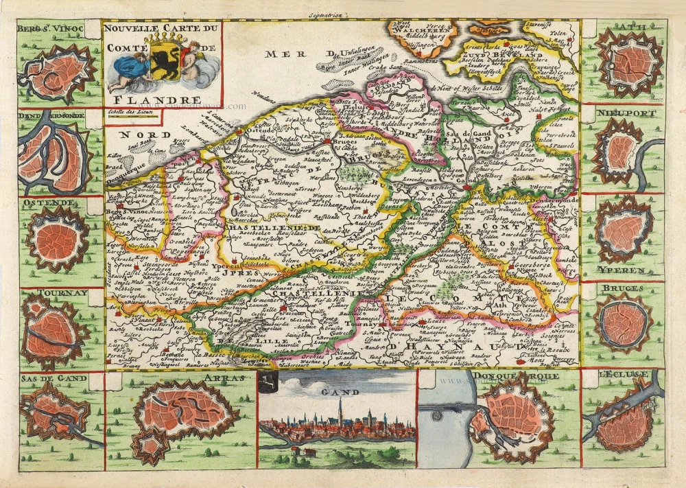
Nouvelle Carte du Comté de Flandre. 1706
Flanders (Vlaanderen) by Daniel De la Feuille.
[Item number: 29889]
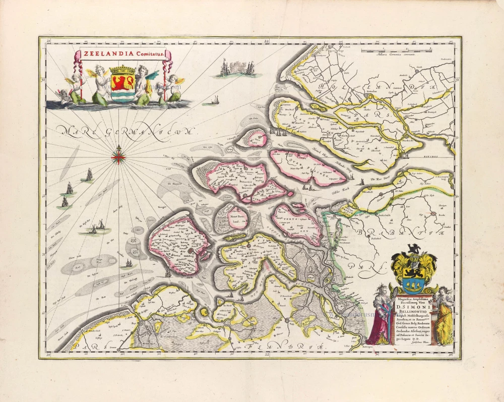
Zeelandia Comitatus. 1643
Zeeland, by W. Blaeu.
[Item number: 29937]

Flandriae Comitatus Accuratissima Descriptio. c. 1658
Flanders (Vlaanderen) by Nicolaas Visscher I.
[Item number: 29980]

Rare
Exactissima Flandriae Descriptio. 1593
Flanders (Vlaanderen), by Gerard de Jode.
[Item number: 30309]
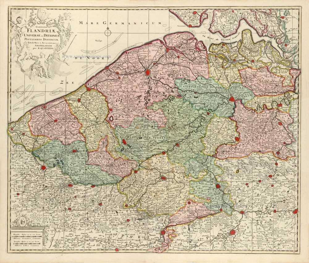
Comitatus Flandriae Universe in Ditiones Peculiares Distinctae. 1730-45
Flanders (Vlaanderen) by Ottens R. & J.
[Item number: 30524]

Rare Dutch text edition
Thielt - Praetorium Domini de Muelebeke Familiae De Beer - Ruyslede by Tielt - Deinse 1652
Deinze, Tielt, Meulebeke, Ruiselede by J. Blaeu.
[Item number: 30801]

Very rare!
[No title] c. 1630-1635
Four atlas maps by Henricus Hondius, adapted to form a wall map of Flanders.
[Item number: 31002]

Comitatus Flandriae. 1728
Flanders (Vlaanderen) by G. van Schagen, published by Pieter van der Aa.
[Item number: 31254]
Flandriae Descriptio. 1594
Flanders (Vlaanderen) by Matthias Quad, published by J. Bussemacher.
[Item number: 31256]
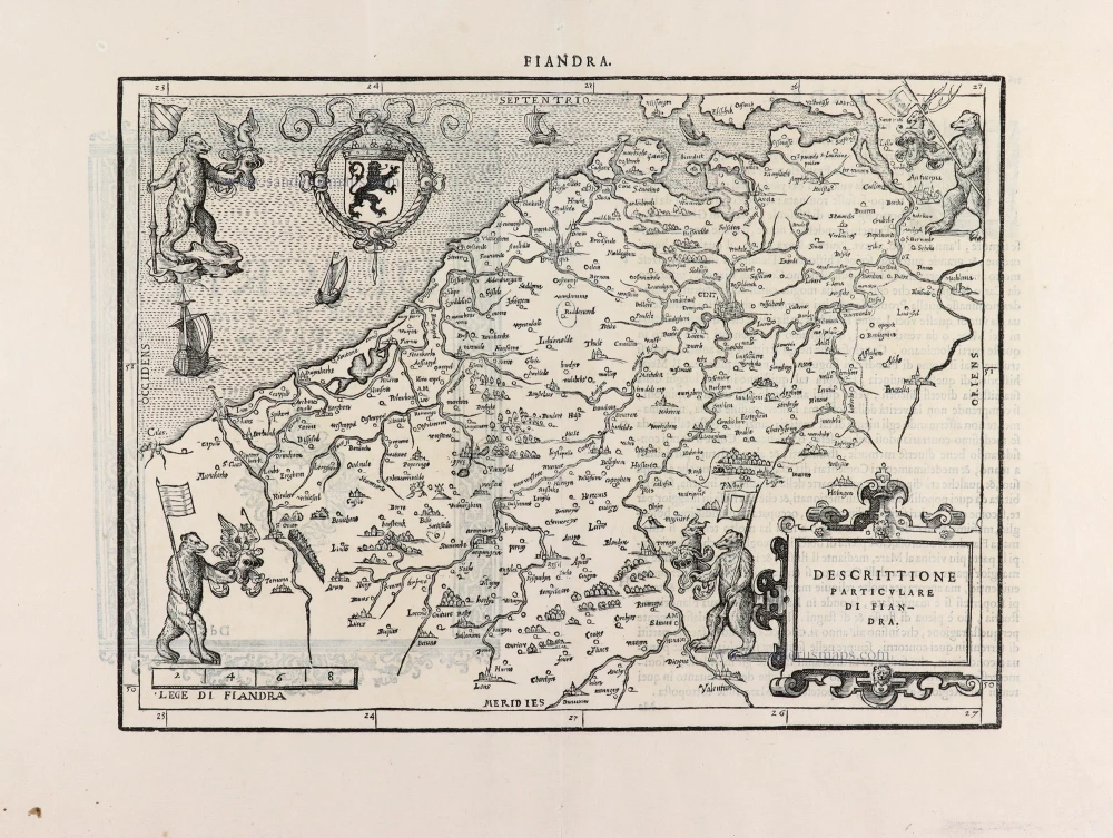
Descrittione Particulare di Fiandra. 1567
Flanders (Vlaanderen) by L. Guicciardini.
[Item number: 31517]
Flandria. 1618
Vlaanderen (Flanders) by Petrus Bertius, published by Jodocus Hondius II.
[Item number: 31592]
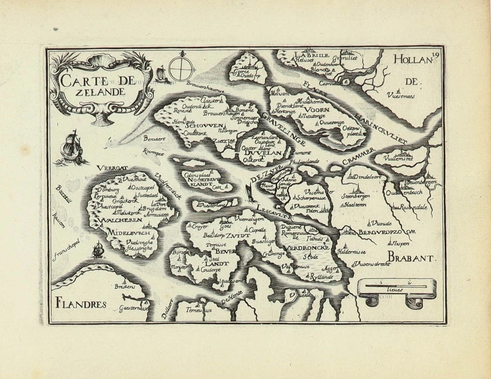
Carte de Zeland. 1633
Zeeland by Christophe Tassin.
[Item number: 31929]

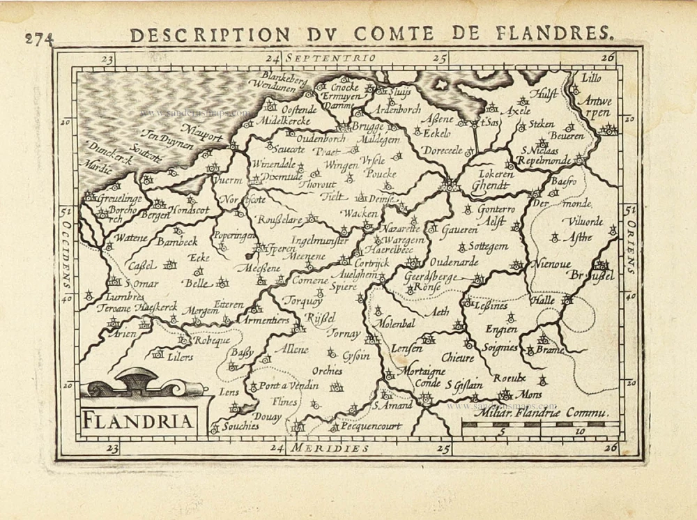
Comté de Flandres. 1633
Flanders (Vlaanderen) by Christophe Tassin.
[Item number: 31933]

Beautiful copy of this important map
Flandria. 1584
Flanders (Vlaanderen), by Abraham Ortelius.
[Item number: 32394]

Comitatus Flandriae in omnes ejusdem subjacentes Ditioescum adjacentibus accuratissime divisus. c. 1720
Flanders (Vlaanderen), by J.B. Homann.
[Item number: 32398]

Novissima Flandriae Comitatus Tabula cum omnibus praefecturis, etc. et Adjacentis Provinciis. 1696-1713
Flanders (Vlaanderen) by Theodore Danckerts.
[Item number: 32497]
The most beautiful 17th-century map of Flanders, with four decorative borders.
Comitatus Flandriae. 1652
Vlaanderen by C.J. Visscher.
[Item number: 33151]
new