
Flanders (Vlaanderen) by G. van Schagen, published by Pieter van der Aa. 1728

Gerard van Schagen (c. 1642-c. 1690)
Engraver, publisher and art dealer in Amsterdam.
Comitatus Flandriae.
Item Number: 31254 Authenticity Guarantee
Category: Antique maps > Europe > Belgium
Flanders (Vlaanderen) by G. van Schagen, published by Pieter van der Aa.
Title: Comitatus Flandriae.
Accuratissima Descriptio, edita per Gerardum à Schagen.
t Amsterdam by Gerrit van Schagen, voor aen op de Haerlemmer-dyck.
Date: 1728.
Copper engraving, printed on paper.
Image size: 465 x 560mm (18.31 x 22.05 inches).
Sheet size: 515 x 600mm (20.28 x 23.62 inches).
Verso: Blank.
Condition: Hand coloured, folds as issued.
Condition Rating: A+.
From: Galerie Agréable du Monde. Leiden, Pieter van der Aa, 1728. (Van der Krogt IV A, 4A 13)
Gerard van Schagen (c. 1642-c. 1690)
Engraver, publisher and art dealer in Amsterdam.
Related items
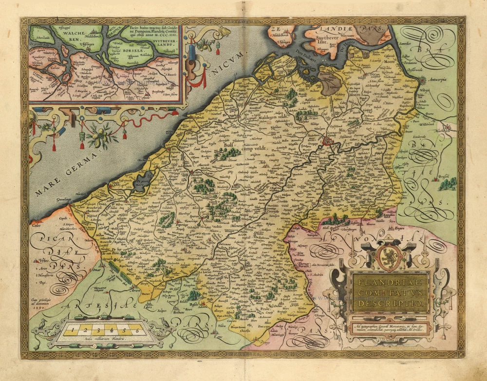
Flandriae Comitatus Descriptio. 1601
Vlaanderen by Abraham Ortelius
[Item number: 5767]
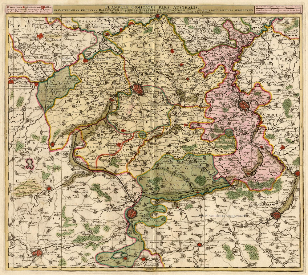
Flandriae Comitatus Pars Australis, in Castellaniam Insulanam, Balliviatum Duacensem, Territorium Tornacensem, et in Suasquasque ditiones subjacentes. c. 1700
Southern Flandres: Lille - Tournai by Visscher N.
[Item number: 18686]

Famous Mercator map of Flanders
Flandria. 1579
Vlaanderen by A. Ortelius.
[Item number: 22228]

Exactissima Flandriae descriptio. Flandria, Caroli V. Aug. Imp. max. natione illustrissima, Belgice provinciae est . . . . Ad signum Bibliothecae Diui Marci. Dominicus Zenoi Venetus excidebat. Venetijs M.D.M.VIIII. 1559
Flanders (Vlaanderen) by Domenico Zenoi.
[Item number: 25774]

Comitatus Flandria. 1637
Flanders (Vlaanderen), by Pieter Verbiest.
[Item number: 27128]

Flandria et Zeelandia Comitatus. 1640-43
Flanders (Vlaanderen) and Zeeland, by Willem Blaeu.
[Item number: 27409]

Flandriae Descriptio. 1600
Flanders (Vlaanderen) by Quad M.-Bussemacher J.
[Item number: 27470]

EXTREMELY RARE FLANDERS MAP BY PIETER VERBIEST
Comitatus Flandria. 1630
Vlaanderen (Flanders), by Pieter Verbiest.
[Item number: 28002]

Le Comté de Flandre divisé en ses Chastellenies, et Balliages, &c. Le Franc de Bruges et Le Pays de Waes. c. 1705
Flanders (Vlaanderen), by Pieter Mortier.
[Item number: 28129]

Celeberrimi Flandriae Comitatus Typus. 1617
Flanders (Vlaanderen) by Petrus Kaerius (Pieter Van den Keere).
[Item number: 28453]
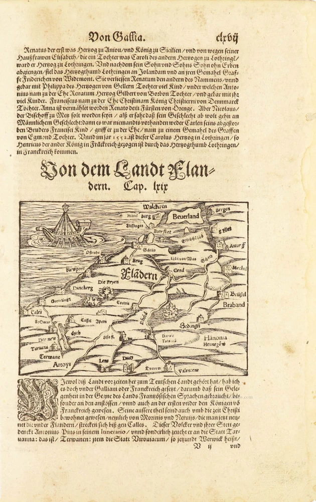
One of the oldest maps of Flanders
Flàdern. [Above map:] Von dem Landt Flandern. 1550
Flanders (Vlaanderen) by Sebastian Münster.
[Item number: 28922]
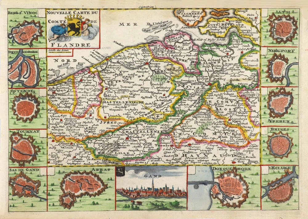
Nouvelle Carte du Comté de Flandre. 1706
Flanders (Vlaanderen) by Daniel De la Feuille.
[Item number: 29889]

Rare
Exactissima Flandriae Descriptio. 1593
Flanders (Vlaanderen), by Gerard de Jode.
[Item number: 30309]
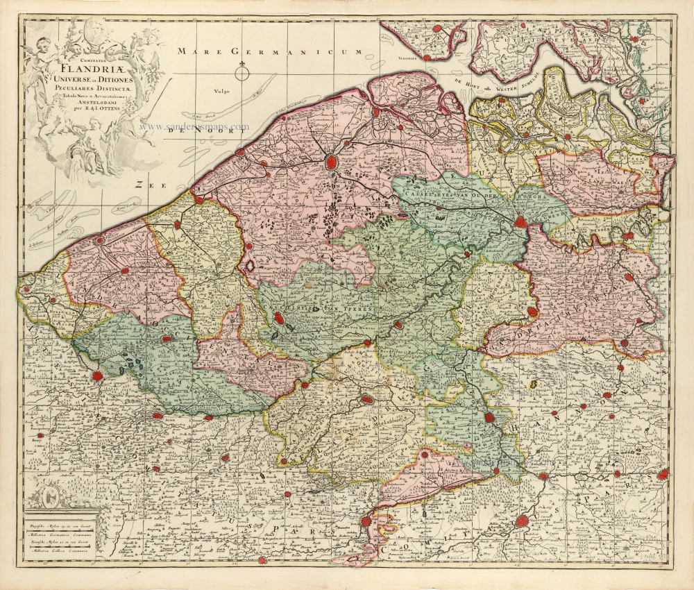
Comitatus Flandriae Universe in Ditiones Peculiares Distinctae. 1730-45
Flanders (Vlaanderen) by Ottens R. & J.
[Item number: 30524]

Le Comté de Flandre divisé en ses Chastellenies, et Balliages, &c. Le Franc de Bruges et Le Pays de Waes. 1692
Flanders (Vlaanderen) by N. Sanson, so-called published by Hubert Jaillot. (Pirated edition by Pierre Mortier).
[Item number: 31465]
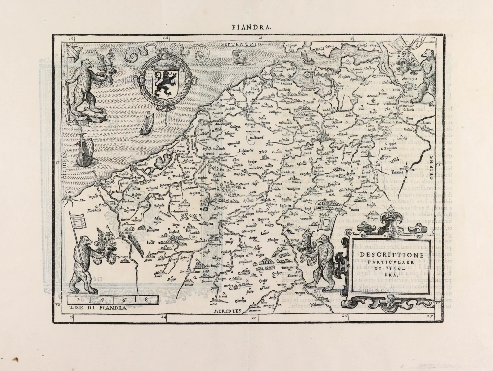
Descrittione Particulare di Fiandra. 1567
Flanders (Vlaanderen) by L. Guicciardini.
[Item number: 31517]
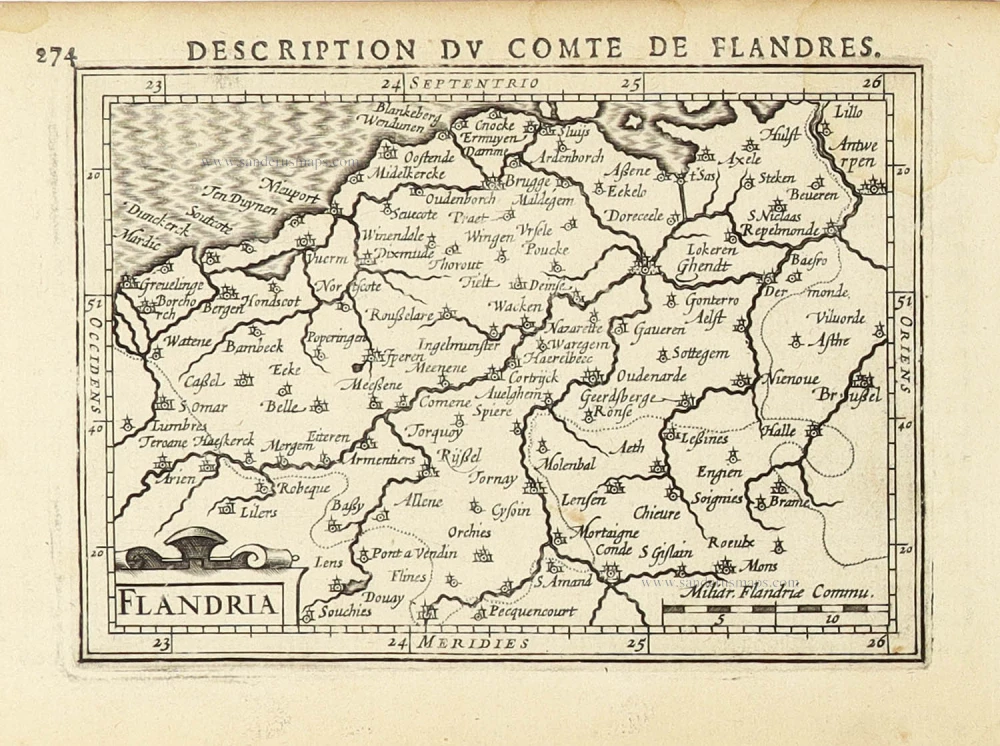
Flandria. 1618
Vlaanderen (Flanders) by Petrus Bertius, published by Jodocus Hondius II.
[Item number: 31592]

Comté de Flandres. 1633
Flanders (Vlaanderen) by Christophe Tassin.
[Item number: 31933]

Beautiful copy of this important map
Flandria. 1584
Flanders (Vlaanderen), by Abraham Ortelius.
[Item number: 32394]

Comitatus Flandriae in omnes ejusdem subjacentes Ditioescum adjacentibus accuratissime divisus. 1712
Flanders (Vlaanderen), by J.B. Homann.
[Item number: 32398]

Novissima Flandriae Comitatus Tabula cum omnibus praefecturis, etc. et Adjacentis Provinciis. 1696-1713
Flanders (Vlaanderen) by Theodore Danckerts.
[Item number: 32497]
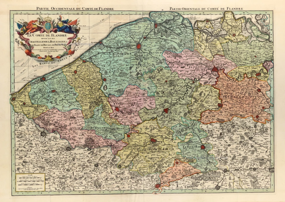
Le Comté de Flandre divisé en ses Chastellenies, et Balliages, &c. Le Franc de Bruges et Le Pays de Waes. 1692
Flanders (Vlaanderen) by N. Sanson, so-called published by Hubert Jaillot. (Pirated edition by Pierre Mortier).
[Item number: 32598]
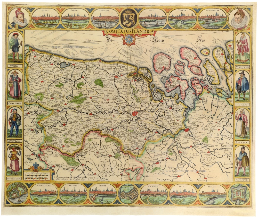
The most beautiful 17th-century map of Flanders, with four decorative borders.
Comitatus Flandriae. 1652
Vlaanderen by C.J. Visscher.
[Item number: 33151]