
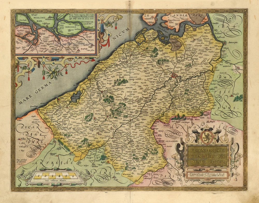
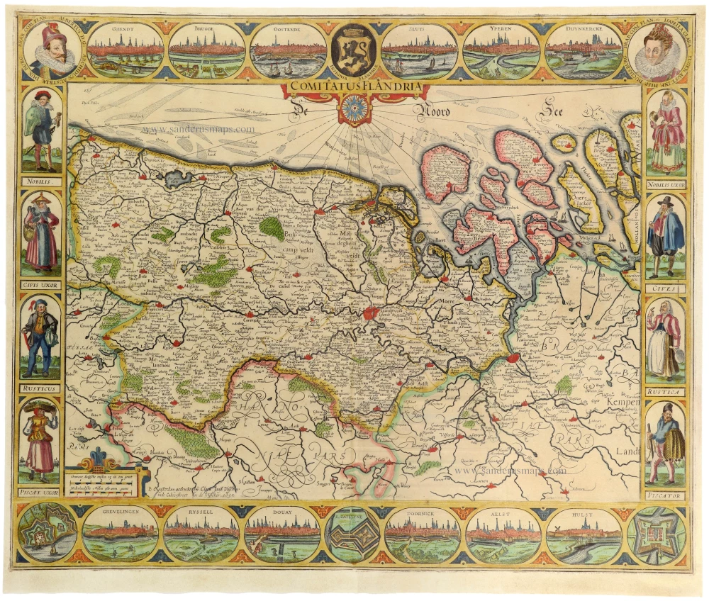
Flanders (Vlaanderen), by Pieter Verbiest. 1637

Pieter Verbiest II (Petrus Verbist) and Isaak Verbiest (Isack Verbist)
Pieter Verbiest (Antwerpen, 1605-1693) was an Antwerp cartographer and engraver. Little is known about his life.
One of his most important works is the Novus Tabularum Geographicorum Belgicae (Antwerp, 1636), a pocket atlas of which two more editions were published later (1644 and 1652). Isaak Verbiest, probably a brother of Pieter, drew and engraved certain maps. Their collaboration also led to the production of two rare world maps.
Pieter Verbiest also published folio maps as separate publications. Koeman describes three editions of a Verbiest Atlas of the Netherlands, published between 1636 and 1652. Only one copy of each of these atlases is known.
Verbiest maps, some with beautiful decorative borders, city views, costumed figures, and coats of arms, were sometimes bound in composite atlases. Occasionally, copies of these scarce maps come onto the market.
Pieter Verbiest II was the son of Pieter Verbiest I (c. 1585-c. 1642), publisher and illuminator of maps in Antwerp.
Comitatus Flandria.
Item Number: 27128 Authenticity Guarantee
Category: Antique maps > Europe > Belgium
Old, antique map of Flanders (Vlaanderen), by Pieter Verbiest.
Oude, antieke kaart van Vlaanderen, door Pieter Verbiest.
Oriented to the northwest.
Engraver: Pieter Verbiest.
Rare second state, variant with three borders.
Three copies recorded of this second state (two of this variant), one copy recorded of the first state (with date 1630).
Date of the first edition: 1630
Date of this map: 1637
Copper engraving, printed on paper.
Size (not including margins): 52.5 x 5.5cm (20.5 x 2.2 inches)
Verso: Blank
Condition: Original coloured, side margins trimmed to neatline, upper and lower margin trimmed to 5mm from neatline, mounted on heavy old paper.
Condition Rating: A
References: Schilder 6, #62.2a.
Separate publication.
Pieter Verbiest II (Petrus Verbist) and Isaak Verbiest (Isack Verbist)
Pieter Verbiest (Antwerpen, 1605-1693) was an Antwerp cartographer and engraver. Little is known about his life.
One of his most important works is the Novus Tabularum Geographicorum Belgicae (Antwerp, 1636), a pocket atlas of which two more editions were published later (1644 and 1652). Isaak Verbiest, probably a brother of Pieter, drew and engraved certain maps. Their collaboration also led to the production of two rare world maps.
Pieter Verbiest also published folio maps as separate publications. Koeman describes three editions of a Verbiest Atlas of the Netherlands, published between 1636 and 1652. Only one copy of each of these atlases is known.
Verbiest maps, some with beautiful decorative borders, city views, costumed figures, and coats of arms, were sometimes bound in composite atlases. Occasionally, copies of these scarce maps come onto the market.
Pieter Verbiest II was the son of Pieter Verbiest I (c. 1585-c. 1642), publisher and illuminator of maps in Antwerp.
Related items
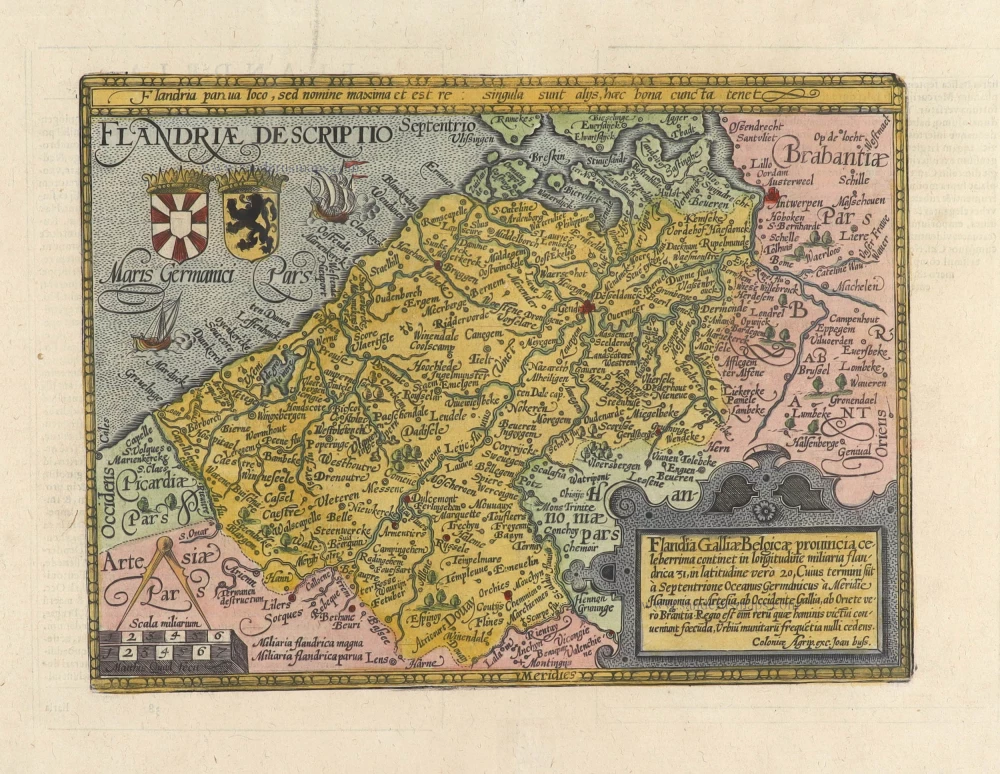
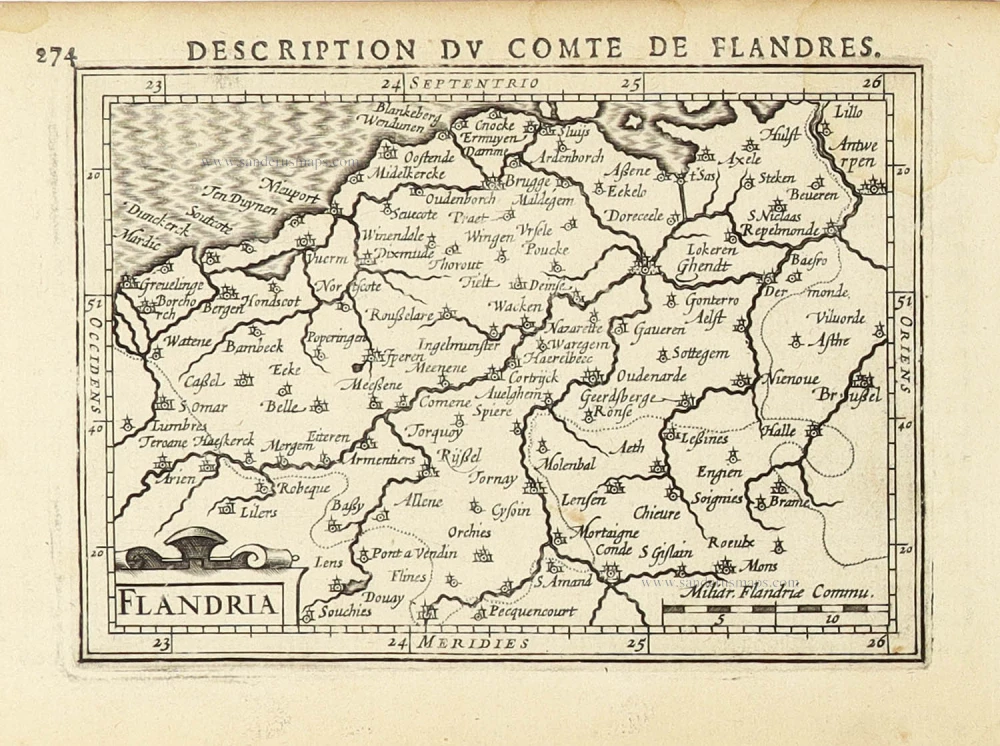
Flandriae Comitatus Descriptio. 1601
Vlaanderen by Abraham Ortelius
[Item number: 5767]
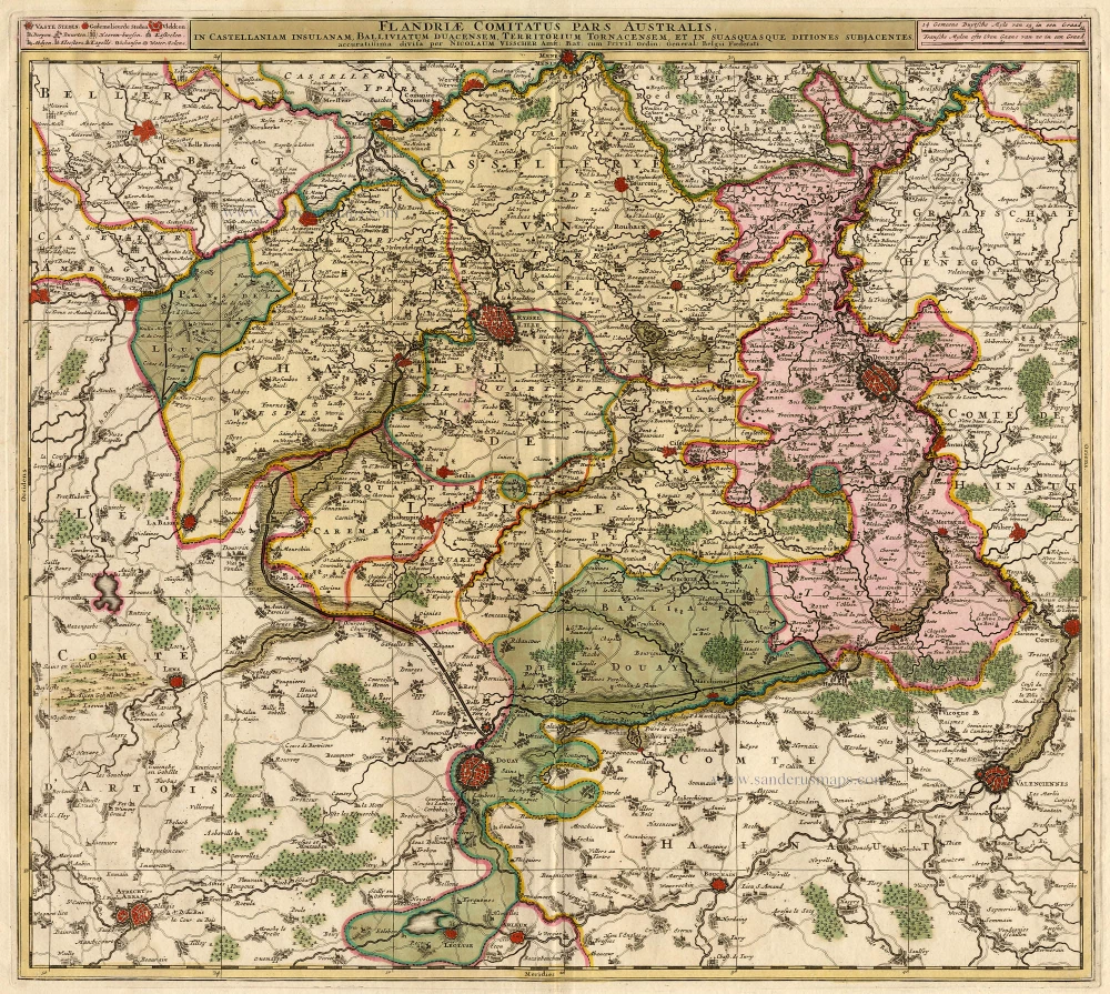
Flandriae Comitatus Pars Australis. 1683-1696
Lille par Nicolas Visscher
[Item number: 18686]

Flandriae Comitatus Descriptio. 1612
Flanders (Vlaanderen) by Abraham Ortelius.
[Item number: 22978]

Exactissima Flandriae descriptio. Flandria, Caroli V. Aug. Imp. max. natione illustrissima, Belgice provinciae est . . . . Ad signum Bibliothecae Diui Marci. Dominicus Zenoi Venetus excidebat. Venetijs M.D.M.VIIII. 1559
Flanders (Vlaanderen) by Domenico Zenoi.
[Item number: 25774]

Le Comté de Flandre divisé en ses Chastellenies, et Balliages, &c. Le Franc de Bruges et Le Pays de Waes. c. 1705
Flanders (Vlaanderen), by Pieter Mortier.
[Item number: 28129]
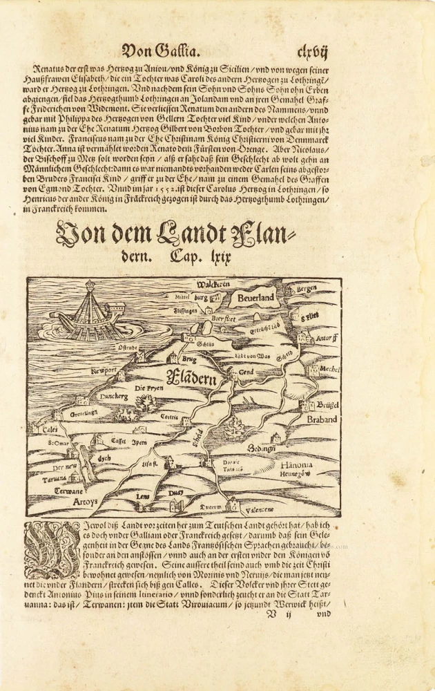
One of the oldest maps of Flanders
Flàdern. [Above map:] Von dem Landt Flandern. 1550
Flanders (Vlaanderen) by Sebastian Münster.
[Item number: 28922]
Rare.
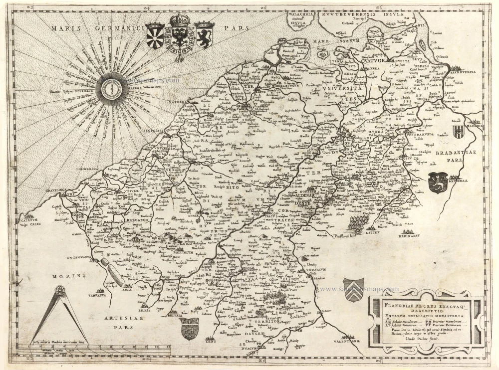
Flandriae recens exactaq descriptio. c. 1570
Flanders, by Claudio Duchetti, after Gerard Mercator.
[Item number: 29729]
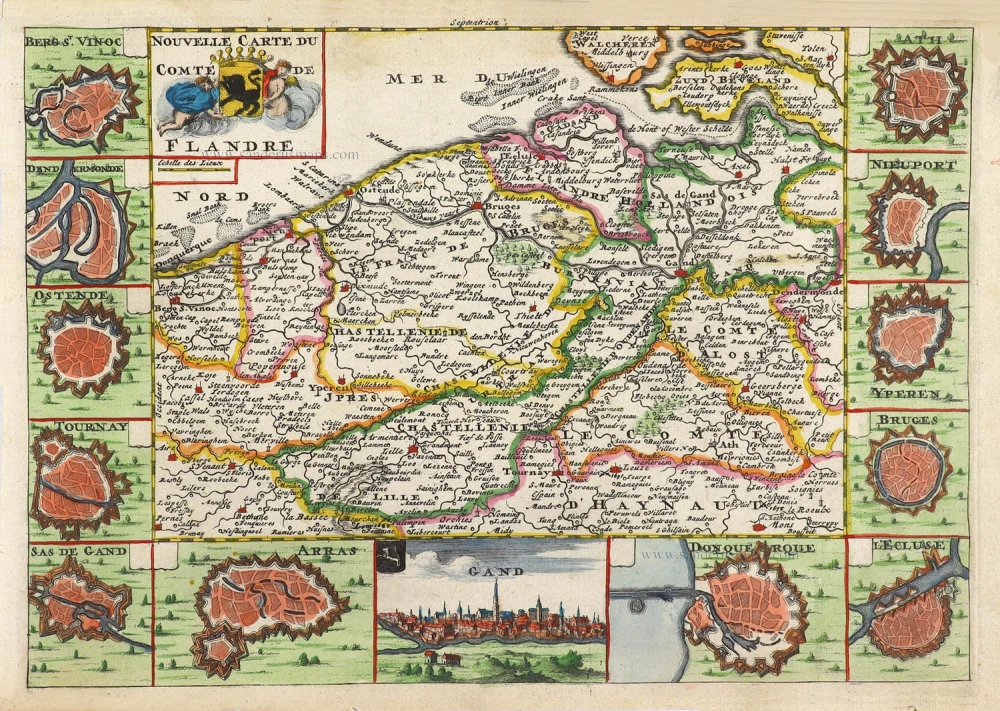
Nouvelle Carte du Comté de Flandre. 1706
Flanders (Vlaanderen) by Daniel De la Feuille.
[Item number: 29889]

Flandriae Comitatus Accuratissima Descriptio. c. 1658
Flanders (Vlaanderen) by Nicolaas Visscher I.
[Item number: 29980]

Rare
Exactissima Flandriae Descriptio. 1593
Flanders (Vlaanderen), by Gerard de Jode.
[Item number: 30309]
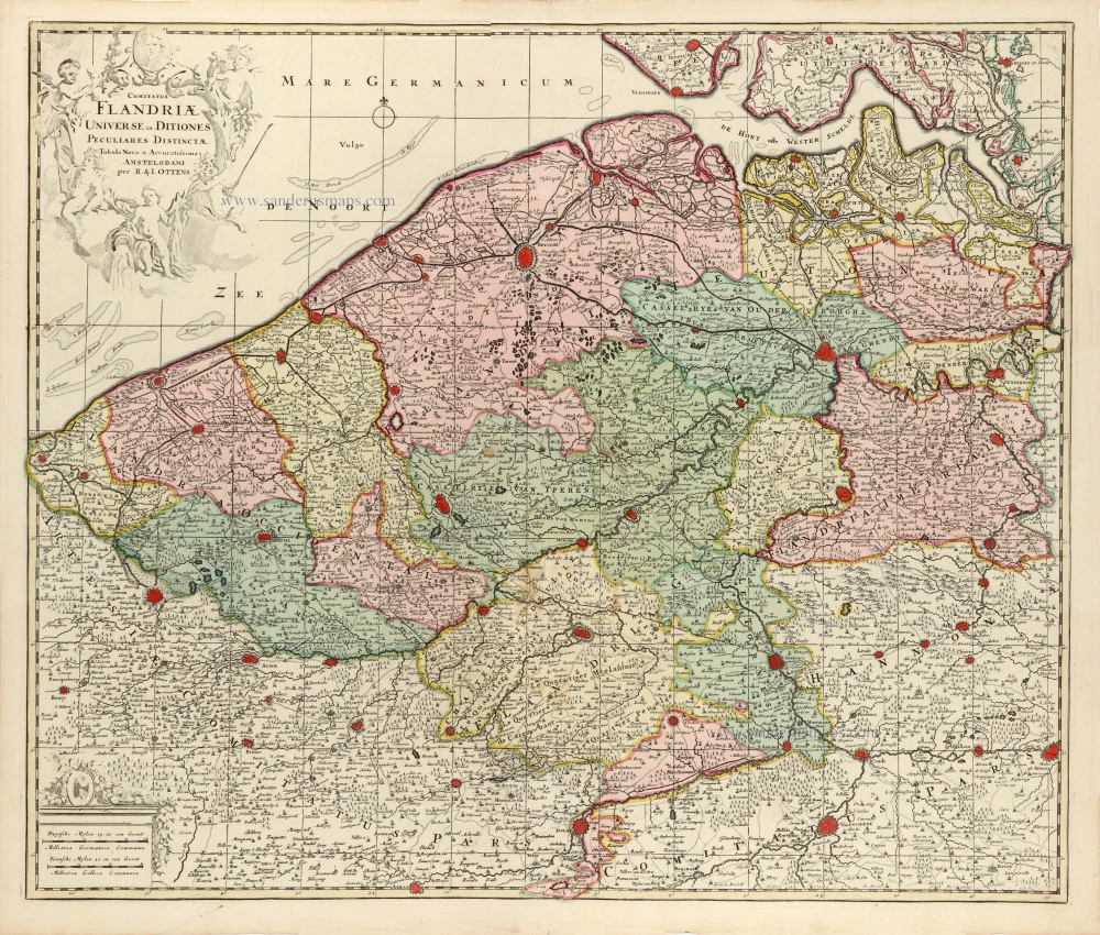
Comitatus Flandriae Universe in Ditiones Peculiares Distinctae. 1730-45
Flanders (Vlaanderen) by Ottens R. & J.
[Item number: 30524]

Very rare!
[No title] c. 1630-1635
Four atlas maps by Henricus Hondius, adapted to form a wall map of Flanders.
[Item number: 31002]

Comitatus Flandriae. 1728
Flanders (Vlaanderen) by G. van Schagen, published by Pieter van der Aa.
[Item number: 31254]
Flandriae Descriptio. 1594
Flanders (Vlaanderen) by Matthias Quad, published by J. Bussemacher.
[Item number: 31256]
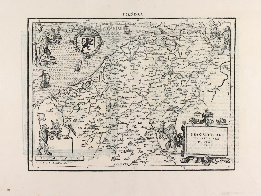
Descrittione Particulare di Fiandra. 1567
Flanders (Vlaanderen) by L. Guicciardini.
[Item number: 31517]
Flandria. 1618
Vlaanderen (Flanders) by Petrus Bertius, published by Jodocus Hondius II.
[Item number: 31592]

Comté de Flandres. 1633
Flanders (Vlaanderen) by Christophe Tassin.
[Item number: 31933]

Beautiful copy of this important map
Flandria. 1584
Flanders (Vlaanderen), by Abraham Ortelius.
[Item number: 32394]

Comitatus Flandriae in omnes ejusdem subjacentes Ditioescum adjacentibus accuratissime divisus. c. 1720
Flanders (Vlaanderen), by J.B. Homann.
[Item number: 32398]

Novissima Flandriae Comitatus Tabula cum omnibus praefecturis, etc. et Adjacentis Provinciis. 1696-1713
Flanders (Vlaanderen) by Theodore Danckerts.
[Item number: 32497]
The most beautiful 17th-century map of Flanders, with four decorative borders.
Comitatus Flandriae. 1652
Vlaanderen by C.J. Visscher.
[Item number: 33151]
new