
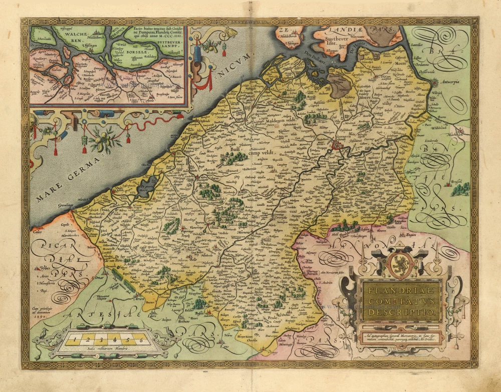
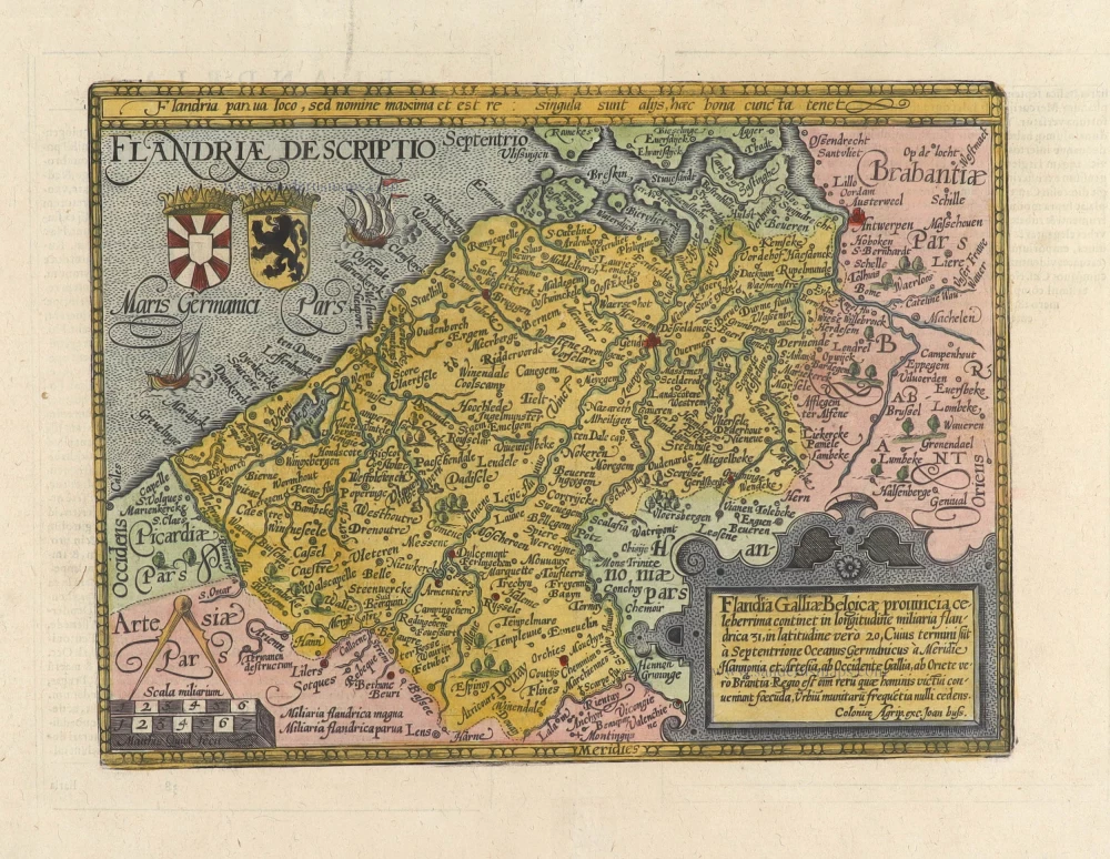
Flanders (Vlaanderen) by Petrus Kaerius (Pieter Van den Keere). 1617


This state still has the imprint of 1608. Changes took place, however, in the lower right. A cartouche now occupies the formerly empty space with a view of Ghent. Above this view stands on a platform a costumed couple with the reference FLANDRI.
Only two copies of the first state are recorded, none of the second.
Pieter Van den Keere (Petrus Kaerius) (1571-c.1650)
Pieter van den Keere was born in Ghent in 1571 as the son of the type-founder, Hendrik van den Keere. In 1584, he moved with his family to London for religious reasons. There, Van den Keere received training as an engraver from Jodocus Hondius, his brother-in-law. Not only the companionship with Jodocus Hondius but also the acquaintanceship with Pieter van den Berghe (Petrus Montanus), author of the text of the Germania Inferior, originates from the years of refuge in London.
Upon their settlement in Amsterdam in 1593, both Keere and Hondius embarked on a monumental project. Their collaboration resulted in the creation of a large wall map of Europe, a masterpiece that still stands as a testament to their skill and vision, dated 1595: Nova totius Europae descriptio.
In 1610, he set up a workshop in the Kalverstraat that he called ‘In den onseeckeren tijd’ (In the uncertain time). During this period, he made numerous copperplates, including maps for his Atlas of the Netherlands and the Atlas Minor published by Jodocus Hondius.
The Germania Inferior (1617) is the first original atlas of the Netherlands published in folio size. The text for the atlas, both in Dutch and in French, was written by Petrus Montanus. After 1623, Claes Jansz. Visscher bought the plates and substituted his name for Kaerius’s. In 1634, Visscher included many of these maps in his Germana Inferior.
Kaerius's fame is not only based on his atlas of the Netherlands. He is even better known as an engraver of many loose-leaf maps and as a collaborator of book publishers. His maps are found, i.e., in the Caert thresoor (Barent Langenes, 1598), Licht der Zeevaert (Blaeu, 1608), Atlas Minor (Hondius, 1628), and Caertboeck vande Midellandsche Zee (Barents, 1595).
Celeberrimi Flandriae Comitatus Typus.
Item Number: 28453 Authenticity Guarantee
Category: Antique maps > Europe > Belgium
Old, antique map of Flanders (Vlaanderen), by Petrus Kaerius (Pieter Van den Keere).
With an inset view of Ghent.
Title: Celeberrimi Flandriae Comitatus Typus.
Amsterodami excudebat Petrus Kaerius anno à nato Cris 1608.
Engraver: Petrus Kaerius.
Date of the first edition: 1608.
Date of this map: 1617.
Date on map: 1608.
Copper engraving, printed on paper.
Map size: 330 x 480mm (12.99 x 18.9 inches).
Sheet size: 420 x 530mm (16.54 x 20.87 inches).
Verso: Latin text.
Condition: Original coloured, excellent.
Condition Rating: A+.
References: Van der Krogt 3, 3200:364; Schilder 8, p. 520 15.3
From: Petri Kaerii Germania Inferior id est, XVII provinciarum ejus novae et exactae Tabulae Geographicae, cum Luculentis Singularum descriptionibus additis. À Petro Montano. Amsterdam, 1617. (Koeman, Kee1; Van der Krogt 3, 64:01)
This state still has the imprint of 1608. Changes took place, however, in the lower right. A cartouche now occupies the formerly empty space with a view of Ghent. Above this view stands on a platform a costumed couple with the reference FLANDRI.
Only two copies of the first state are recorded, none of the second.
Pieter Van den Keere (Petrus Kaerius) (1571-c.1650)
Pieter van den Keere was born in Ghent in 1571 as the son of the type-founder, Hendrik van den Keere. In 1584, he moved with his family to London for religious reasons. There, Van den Keere received training as an engraver from Jodocus Hondius, his brother-in-law. Not only the companionship with Jodocus Hondius but also the acquaintanceship with Pieter van den Berghe (Petrus Montanus), author of the text of the Germania Inferior, originates from the years of refuge in London.
Upon their settlement in Amsterdam in 1593, both Keere and Hondius embarked on a monumental project. Their collaboration resulted in the creation of a large wall map of Europe, a masterpiece that still stands as a testament to their skill and vision, dated 1595: Nova totius Europae descriptio.
In 1610, he set up a workshop in the Kalverstraat that he called ‘In den onseeckeren tijd’ (In the uncertain time). During this period, he made numerous copperplates, including maps for his Atlas of the Netherlands and the Atlas Minor published by Jodocus Hondius.
The Germania Inferior (1617) is the first original atlas of the Netherlands published in folio size. The text for the atlas, both in Dutch and in French, was written by Petrus Montanus. After 1623, Claes Jansz. Visscher bought the plates and substituted his name for Kaerius’s. In 1634, Visscher included many of these maps in his Germana Inferior.
Kaerius's fame is not only based on his atlas of the Netherlands. He is even better known as an engraver of many loose-leaf maps and as a collaborator of book publishers. His maps are found, i.e., in the Caert thresoor (Barent Langenes, 1598), Licht der Zeevaert (Blaeu, 1608), Atlas Minor (Hondius, 1628), and Caertboeck vande Midellandsche Zee (Barents, 1595).
Related items
Flandriae Comitatus Descriptio. 1601
Vlaanderen by Abraham Ortelius
[Item number: 5767]

Flandria et Zeelandia Comitatus. 1659
Flanders (Vlaanderen) - Zeeland by Matthäus Merian & Martin Zeiller
[Item number: 12253]

Paskaert van de Zeeusche en Vlaemsche Kusten, tonende Alle Drooghten, Diepten, en Ondiepten, tusschen t'Eylandt Schouwen en de Hoofden, Curieuselyck Beschreven door Dirck Davidsz 1667
Sea chart of Flanders (Vlaanderen) & Zeeland, by Pieter Goos.
[Item number: 19054]

Famous Mercator map of Flanders
Flandria. 1579
Vlaanderen by A. Ortelius.
[Item number: 22228]

Flandriae Comitatus Descriptio. 1612
Flanders (Vlaanderen) by Abraham Ortelius.
[Item number: 22978]

Exactissima Flandriae descriptio. Flandria, Caroli V. Aug. Imp. max. natione illustrissima, Belgice provinciae est . . . . Ad signum Bibliothecae Diui Marci. Dominicus Zenoi Venetus excidebat. Venetijs M.D.M.VIIII. 1559
Flanders (Vlaanderen) by Domenico Zenoi.
[Item number: 25774]

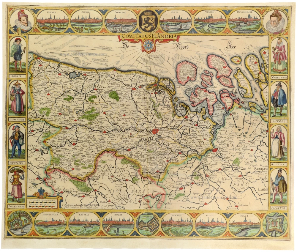
Comitatus Flandria. 1637
Flanders (Vlaanderen), by Pieter Verbiest.
[Item number: 27128]

Flandria et Zeelandia Comitatus. 1640-43
Flanders (Vlaanderen) and Zeeland, by Willem Blaeu.
[Item number: 27409]

EXTREMELY RARE FLANDERS MAP BY PIETER VERBIEST
Comitatus Flandria. 1630
Vlaanderen (Flanders), by Pieter Verbiest.
[Item number: 28002]

Le Comté de Flandre divisé en ses Chastellenies, et Balliages, &c. Le Franc de Bruges et Le Pays de Waes. c. 1705
Flanders (Vlaanderen), by Pieter Mortier.
[Item number: 28129]
Rare.
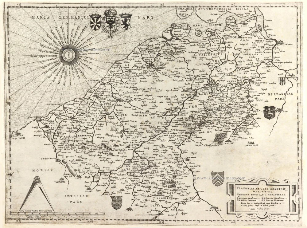
Flandriae recens exactaq descriptio. c. 1570
Flanders, by Claudio Duchetti, after Gerard Mercator.
[Item number: 29729]
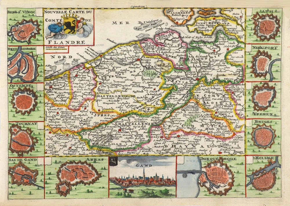
Nouvelle Carte du Comté de Flandre. 1706
Flanders (Vlaanderen) by Daniel De la Feuille.
[Item number: 29889]

Flandriae Comitatus Accuratissima Descriptio. c. 1658
Flanders (Vlaanderen) by Nicolaas Visscher I.
[Item number: 29980]

Rare
Exactissima Flandriae Descriptio. 1593
Flanders (Vlaanderen), by Gerard de Jode.
[Item number: 30309]
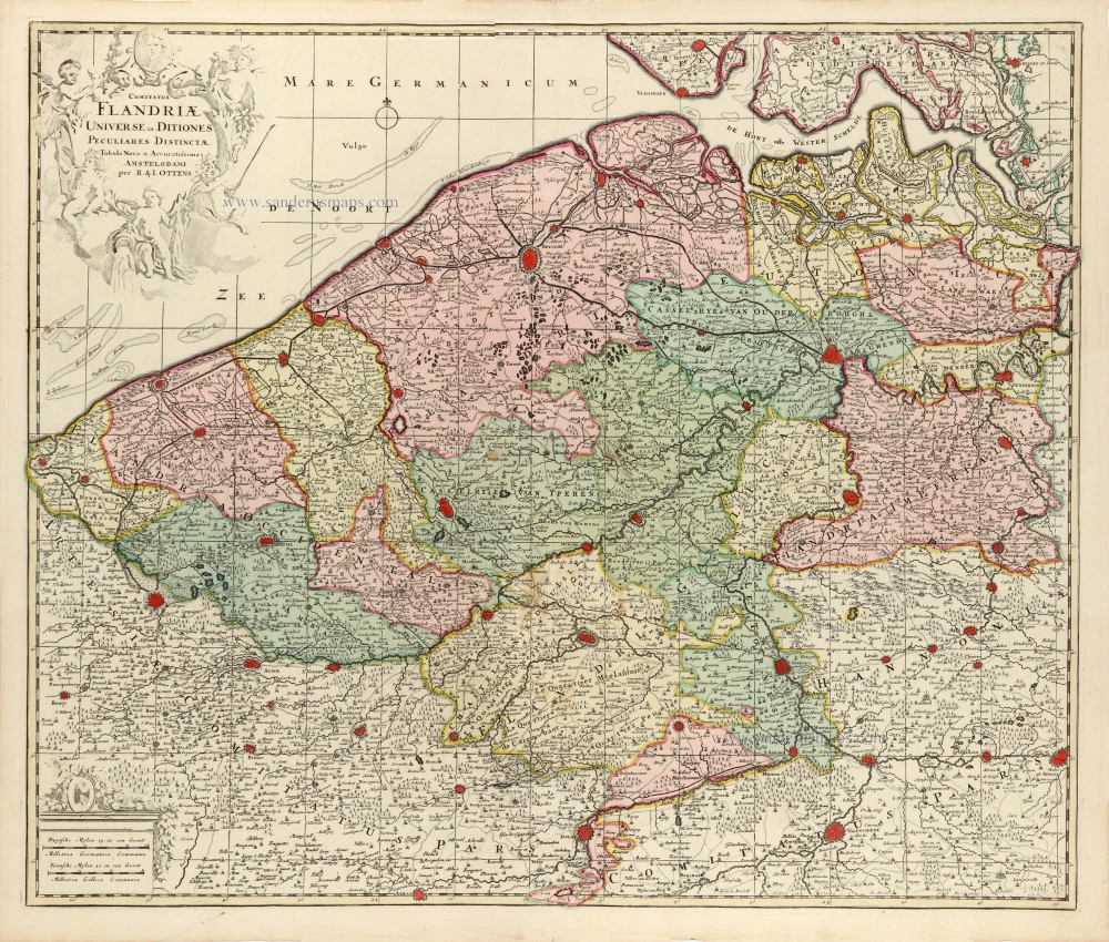
Comitatus Flandriae Universe in Ditiones Peculiares Distinctae. 1730-45
Flanders (Vlaanderen) by Ottens R. & J.
[Item number: 30524]

Very rare!
[No title] c. 1630-1635
Four atlas maps by Henricus Hondius, adapted to form a wall map of Flanders.
[Item number: 31002]

Comitatus Flandriae. 1728
Flanders (Vlaanderen) by G. van Schagen, published by Pieter van der Aa.
[Item number: 31254]
Flandriae Descriptio. 1594
Flanders (Vlaanderen) by Matthias Quad, published by J. Bussemacher.
[Item number: 31256]
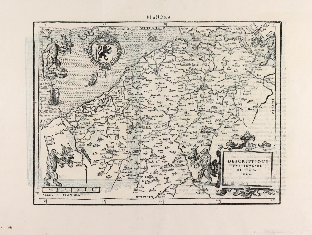
Descrittione Particulare di Fiandra. 1567
Flanders (Vlaanderen) by L. Guicciardini.
[Item number: 31517]
Flandria. 1618
Vlaanderen (Flanders) by Petrus Bertius, published by Jodocus Hondius II.
[Item number: 31592]

Comté de Flandres. 1633
Flanders (Vlaanderen) by Christophe Tassin.
[Item number: 31933]

Beautiful copy of this important map
Flandria. 1584
Flanders (Vlaanderen), by Abraham Ortelius.
[Item number: 32394]

Comitatus Flandriae in omnes ejusdem subjacentes Ditioescum adjacentibus accuratissime divisus. c. 1720
Flanders (Vlaanderen), by J.B. Homann.
[Item number: 32398]

Novissima Flandriae Comitatus Tabula cum omnibus praefecturis, etc. et Adjacentis Provinciis. 1696-1713
Flanders (Vlaanderen) by Theodore Danckerts.
[Item number: 32497]
The most beautiful 17th-century map of Flanders, with four decorative borders.
Comitatus Flandriae. 1652
Vlaanderen by C.J. Visscher.
[Item number: 33151]
new