
Hainaut - Namur, by G. Mercator 1619

Gerard Mercator (1512 – 1594)
Gerard Mercator was born Gerard de Cremere in Rupelmonde (near Antwerp) on 5 March 1512.
Young Gerard learned what Latin he could in Rupelmonde, and when he was about fifteen, his uncle sent him to s'Hertogenbosch to study at a school run by the Brothers of the Common Life. One of Mercator’s teachers was the celebrated humanist Macropedius. After three and a half years with the brothers, Gerard went to Louvain, where he enrolled in the university in 1530 as one of the poor students at Castle College.
By this time, he had Latinized his name to Mercator. He studied philosophy and took his master’s degree in 1532. The problems of the creation of the Universe and the Earth interested him in particular, and this is reflected in his works written in later years.
After spending a few years in Antwerp, he returned to Louvain in c. 1535, where he took courses in mathematics under Gemma Frisius. Soon, he was recognised as an expert on the construction of mathematical instruments, as a land surveyor and, after 1537, as a cartographer. He drew his income from these activities after his marriage on August 3, 1536. He also qualified himself as a copper engraver, the first to introduce italic handwriting to this trade. The first maps, drawn and engraved by Gerard Mercator, are Palestine, 1537; the World in double heart-shaped projection, 1538; and Flanders, 1540.
In 1544, Mercator came into great danger: he was arrested on the accusation of heresy and put into jail. Thanks to the intervention of the University of Louvain, he was released after four months. In 1552, he moved with his family to Duisburg (Germany). In 1560, Mercator became a cosmographer in service of the Duke of Jülich-Cleve-Berge, and in 1563, he became a lecturer at the Grammar School of the new University in Duisburg. During this period, he made wall maps of Europe, 1554; of Loraine, 1564; the British Isles, 1564; and the famous world map with increasing latitudes, 1569. About this time, Mercator was also working on the project for a complete description of the creation, the Heavens, Earth, Sea and world history. This resulted in his Atlas, sive cosmographicae meditationes de fabrica mundi et fabricati figura. He also worked on an edition of Ptolemy’s Geographia in 1578. The first part of his book, which contains modern maps (France, Germany, and the Netherlands), appeared in 1585.
Shortly after the publication of the second part of his map book (not yet called Atlas) with the maps of Italy (1589), he had a stroke that ended his highly significant productivity. The great man passed away on 2 December 1594, leaving the responsibility of finishing the map book to his son Rumold. The final part of it appeared in 1595. Its title is Pars Altera, and it constitutes an essential part of what was then called Mercator’s Atlas.
The map of Europe and the world map in the Atlas are by Rumold Mercator. After Rumold died in 1599, the Atlas was reissued in 1602.
The plates of the maps, both of the Ptolemy edition and the Atlas, were sold in 1604 to Jodocus Hondius of Amsterdam. The following year, Hondius managed to bring out Ptolemy’s Geographia. In 1606, the first Amsterdam edition of the Mercator Atlas appeared in the next year. From then to 1638, the Atlas saw many enlarged editions in various languages.
Hannonia Namurcum Comitatus.
Item Number: 12182 Authenticity Guarantee
Category: Antique maps > Europe > Belgium
Old antique map of Hainaut - Namur by G. Mercator.
Title: Hannonia Namurcum Comitatus.
Date of the first edition: 1585.
Date of this map: 1619.
Copper engraving, printed on paper.
Size (not including margins): 350 x 460mm (13.78 x 18.11 inches).
Verso: French text.
Condition: Contemporary old coloured, heigthened in gold.
Condition Rating: A.
From: Gerardi Mercatoris - Atlas sive Cosmographicae Meditationes de Fabrica Mundi et Fabricati Figura. Amsterdam, J. Hondius, 1619. (Van der Krogt 1, 113)
Gerard Mercator (1512 – 1594)
Gerard Mercator was born Gerard de Cremere in Rupelmonde (near Antwerp) on 5 March 1512.
Young Gerard learned what Latin he could in Rupelmonde, and when he was about fifteen, his uncle sent him to s'Hertogenbosch to study at a school run by the Brothers of the Common Life. One of Mercator’s teachers was the celebrated humanist Macropedius. After three and a half years with the brothers, Gerard went to Louvain, where he enrolled in the university in 1530 as one of the poor students at Castle College.
By this time, he had Latinized his name to Mercator. He studied philosophy and took his master’s degree in 1532. The problems of the creation of the Universe and the Earth interested him in particular, and this is reflected in his works written in later years.
After spending a few years in Antwerp, he returned to Louvain in c. 1535, where he took courses in mathematics under Gemma Frisius. Soon, he was recognised as an expert on the construction of mathematical instruments, as a land surveyor and, after 1537, as a cartographer. He drew his income from these activities after his marriage on August 3, 1536. He also qualified himself as a copper engraver, the first to introduce italic handwriting to this trade. The first maps, drawn and engraved by Gerard Mercator, are Palestine, 1537; the World in double heart-shaped projection, 1538; and Flanders, 1540.
In 1544, Mercator came into great danger: he was arrested on the accusation of heresy and put into jail. Thanks to the intervention of the University of Louvain, he was released after four months. In 1552, he moved with his family to Duisburg (Germany). In 1560, Mercator became a cosmographer in service of the Duke of Jülich-Cleve-Berge, and in 1563, he became a lecturer at the Grammar School of the new University in Duisburg. During this period, he made wall maps of Europe, 1554; of Loraine, 1564; the British Isles, 1564; and the famous world map with increasing latitudes, 1569. About this time, Mercator was also working on the project for a complete description of the creation, the Heavens, Earth, Sea and world history. This resulted in his Atlas, sive cosmographicae meditationes de fabrica mundi et fabricati figura. He also worked on an edition of Ptolemy’s Geographia in 1578. The first part of his book, which contains modern maps (France, Germany, and the Netherlands), appeared in 1585.
Shortly after the publication of the second part of his map book (not yet called Atlas) with the maps of Italy (1589), he had a stroke that ended his highly significant productivity. The great man passed away on 2 December 1594, leaving the responsibility of finishing the map book to his son Rumold. The final part of it appeared in 1595. Its title is Pars Altera, and it constitutes an essential part of what was then called Mercator’s Atlas.
The map of Europe and the world map in the Atlas are by Rumold Mercator. After Rumold died in 1599, the Atlas was reissued in 1602.
The plates of the maps, both of the Ptolemy edition and the Atlas, were sold in 1604 to Jodocus Hondius of Amsterdam. The following year, Hondius managed to bring out Ptolemy’s Geographia. In 1606, the first Amsterdam edition of the Mercator Atlas appeared in the next year. From then to 1638, the Atlas saw many enlarged editions in various languages.
Related items

Namurcum, Comitatus 1612
Namur by Abraham Ortelius.
[Item number: 22940]

Namurcum, Elegantissima ad Mosae Flume Civitas. 1581
Namur, by Georg Braun and Frans Hogenberg.
[Item number: 25415]

Nieuwe Kaart van 't Graafschap Namen, met een groot gedeelte van 't Hertogdom Brabant, ... c. 1730
Namur by N. Visscher II, published by P. Schenk.
[Item number: 25921]

Le Comté de Haynaut, divisé en Chatellenies, Balliages, Prevostés &c. Le Cambresis. 1708
Hainaut - Cambrai, by Pieter Mortier.
[Item number: 28223]

In luxury colouring.
La Ville de Namur avec son Chateau et autres Fortifications. - De sterke Stadt Namen met syn Casteel en andere Fortificatien. 1721-41
Namur by Covens & Mortier.
[Item number: 29495]

Namurcum. 1617
Namur by Pieter Van den Keere (Petrus Kaerius).
[Item number: 30654]

The scarce censored first issue of Ortelius's Hainault map, dated 1572.
Nobilis Hannoniae Comitatus Descrip. 1584
Hainault (Hainaut) by Abraham Ortelius.
[Item number: 30676]

Carte du Conté de Haynault. 1633
Hainaut by Christophe Tassin.
[Item number: 31934]

Comitatus Hannoniae Tabula, 1683-1696
Hainaut by N. Visscher
[Item number: 32629]
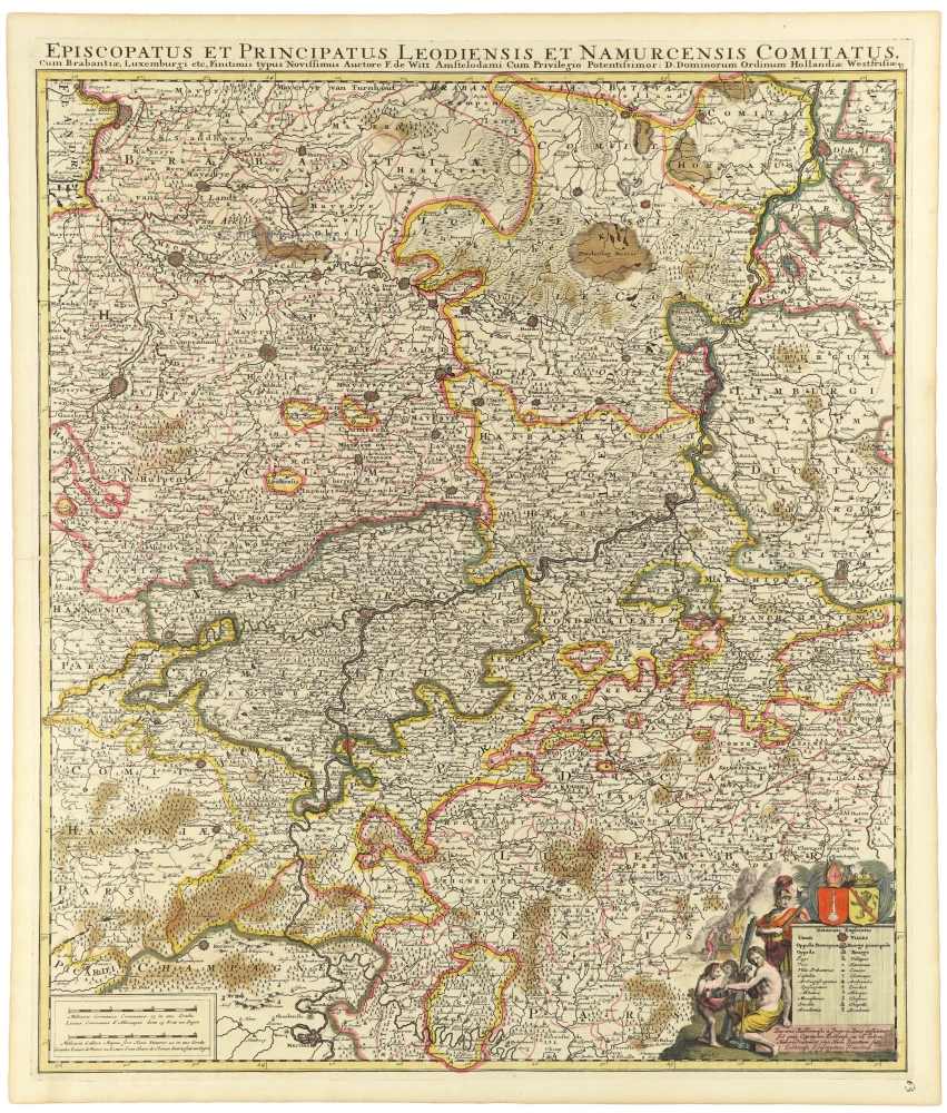
Episcopatus et Principatus Leodiensis et Namurcensis Comitatus, Cum Brabantiae, Luxemburgi etc. c. 1705-06
Liège - Namur, by Frederick de Wit.
[Item number: 33158]

Namurcum, Comitatus. 1581
Duchy of Namur by Lodovico Guicciardini.
[Item number: 33214]
new