
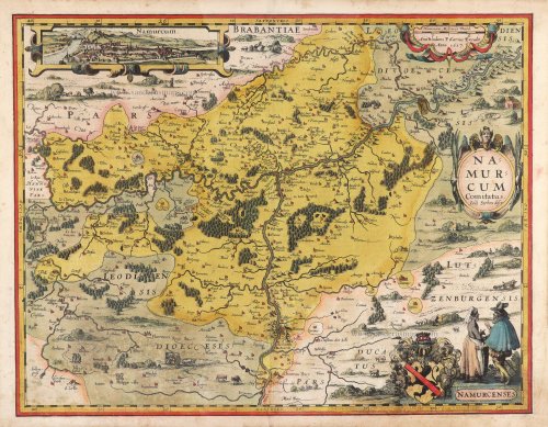
Namur by Pieter Van den Keere (Petrus Kaerius). 1617


Pieter Van den Keere (Petrus Kaerius) (1571-c.1650)
Pieter van den Keere was born in Ghent in 1571 as the son of the type-founder, Hendrik van den Keere. In 1584, he moved with his family to London for religious reasons. There, Van den Keere received training as an engraver from Jodocus Hondius, his brother-in-law. Not only the companionship with Jodocus Hondius but also the acquaintanceship with Pieter van den Berghe (Petrus Montanus), author of the text of the Germania Inferior, originates from the years of refuge in London.
Upon their settlement in Amsterdam in 1593, both Keere and Hondius embarked on a monumental project. Their collaboration resulted in the creation of a large wall map of Europe, a masterpiece that still stands as a testament to their skill and vision, dated 1595: Nova totius Europae descriptio.
In 1610, he set up a workshop in the Kalverstraat that he called ‘In den onseeckeren tijd’ (In the uncertain time). During this period, he made numerous copperplates, including maps for his Atlas of the Netherlands and the Atlas Minor published by Jodocus Hondius.
The Germania Inferior (1617) is the first original atlas of the Netherlands published in folio size. The text for the atlas, both in Dutch and in French, was written by Petrus Montanus. After 1623, Claes Jansz. Visscher bought the plates and substituted his name for Kaerius’s. In 1634, Visscher included many of these maps in his Germana Inferior.
Kaerius's fame is not only based on his atlas of the Netherlands. He is even better known as an engraver of many loose-leaf maps and as a collaborator of book publishers. His maps are found, i.e., in the Caert thresoor (Barent Langenes, 1598), Licht der Zeevaert (Blaeu, 1608), Atlas Minor (Hondius, 1628), and Caertboeck vande Midellandsche Zee (Barents, 1595).
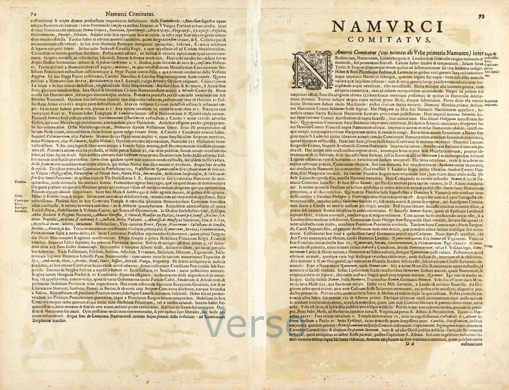
Namurcum.
Item Number: 30654 Authenticity Guarantee
Category: Antique maps > Europe > Belgium
Namur by Pieter Van den Keere (Petrus Kaerius).
Title: Namurcum.
Ioes Surhon descr
Amstelodami P. Kaerius Excudit. Anno 1617.
Inset view of the town of Namur ('Namurcum').
Costume figures: 'NAMURCENSES'.
Cartographer: Jean Surhon.
Date of the first edition: 1617.
Date of this map: 1617.
Date on map: 1617.
Copper engraving, printed on paper.
Image size: 380 x 495mm (14.96 x 19.49 inches).
Sheet size: 410 x 525mm (16.14 x 20.67 inches).
Verso: Latin text.
Condition: Original coloured, excellent.
Condition Rating: A+.
From: Petri Kaerii Germania Inferior id est, XVII provinciarum ejus novae et exactae Tabulae Geographicae, cum Luculentis Singularum descriptionibus additis. À Petro Montano. Amsterdam, 1617. (Koeman, Kee1; Van der Krogt 3, 64:01)
Pieter Van den Keere (Petrus Kaerius) (1571-c.1650)
Pieter van den Keere was born in Ghent in 1571 as the son of the type-founder, Hendrik van den Keere. In 1584, he moved with his family to London for religious reasons. There, Van den Keere received training as an engraver from Jodocus Hondius, his brother-in-law. Not only the companionship with Jodocus Hondius but also the acquaintanceship with Pieter van den Berghe (Petrus Montanus), author of the text of the Germania Inferior, originates from the years of refuge in London.
Upon their settlement in Amsterdam in 1593, both Keere and Hondius embarked on a monumental project. Their collaboration resulted in the creation of a large wall map of Europe, a masterpiece that still stands as a testament to their skill and vision, dated 1595: Nova totius Europae descriptio.
In 1610, he set up a workshop in the Kalverstraat that he called ‘In den onseeckeren tijd’ (In the uncertain time). During this period, he made numerous copperplates, including maps for his Atlas of the Netherlands and the Atlas Minor published by Jodocus Hondius.
The Germania Inferior (1617) is the first original atlas of the Netherlands published in folio size. The text for the atlas, both in Dutch and in French, was written by Petrus Montanus. After 1623, Claes Jansz. Visscher bought the plates and substituted his name for Kaerius’s. In 1634, Visscher included many of these maps in his Germana Inferior.
Kaerius's fame is not only based on his atlas of the Netherlands. He is even better known as an engraver of many loose-leaf maps and as a collaborator of book publishers. His maps are found, i.e., in the Caert thresoor (Barent Langenes, 1598), Licht der Zeevaert (Blaeu, 1608), Atlas Minor (Hondius, 1628), and Caertboeck vande Midellandsche Zee (Barents, 1595).
Related items

Hannonia Namurcum Comitatus. 1619
Hainaut - Namur, by G. Mercator
[Item number: 12182]

Comitatuum Hannoniae Et Namurci Descriptio 1640-43
Hainaut - Namur, by Blaeu W. & J.
[Item number: 13985]
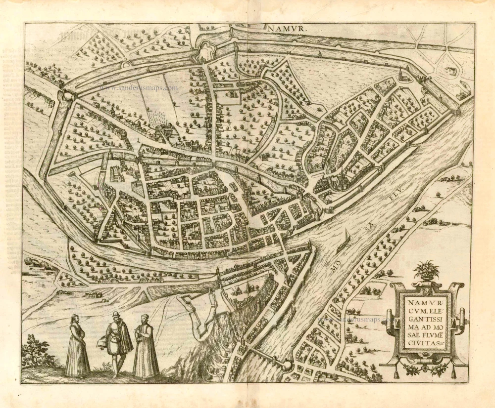
Namurcum, Elegantissima ad Mosae Flume Civitas. 1582
Namur, by Georg Braun and Frans Hogenberg.
[Item number: 14168]

Namurcum Comitatus. 1659-72
Antique map of Namur by J. Blaeu
[Item number: 14785]

Namurcum Comitatus. Na 1612.
Namur, by Ortelius A. - Galle Th.
[Item number: 15490]
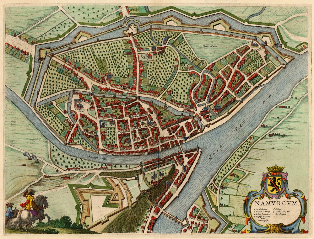
Namurcum 1649
Namur by Blaeu J.
[Item number: 18149]

Namurcum ad Mosae flumen sita civitas, ad vivum expressa. 1582
Namur, by Lodovico Guicciardini.
[Item number: 18464]

Namurcum, Comitatus 1612
Namur by Abraham Ortelius.
[Item number: 22940]

Comitatus Namurci 1683-1696
Namur, by N. Visscher
[Item number: 24453]

Tractus Inter Sabim Et Mosam 1683-1696
Namur by Visscher N. II.
[Item number: 24460]

Plan qui représente les Environs et la Circonvallation de Namur, du 4. Septembre au 6. Octobre. Avec les differentes positions de l'Armée du Roy et de celle des Alliés, depuis le 30. Juillet jusqu'au 19. Aoust 1746. Levé Geometriquement. 1746
Military manuscript map of the western vicinity of Namur.
[Item number: 24865]

Hannonia. Namurcum Comitatus 1623
Hainaut and Namur, by G. Mercator.
[Item number: 24919]

Namurcum, Elegantissima ad Mosae Flume Civitas. 1581
Namur, by Georg Braun and Frans Hogenberg.
[Item number: 25415]

Nieuwe Kaart van 't Graafschap Namen, met een groot gedeelte van 't Hertogdom Brabant, ... 1720-30
Namur by N. Visscher II, published by P. Schenk.
[Item number: 25921]

Namurcum, preclara ad Mosae flumen civitas, ... 1576
Namur, by Georg Braun & Frans Hogenberg.
[Item number: 26786]

In luxury colouring.
La Ville de Namur avec son Chateau et autres Fortifications. - De sterke Stadt Namen met syn Casteel en andere Fortificatien. 1721-41
Namur by Covens & Mortier.
[Item number: 29495]
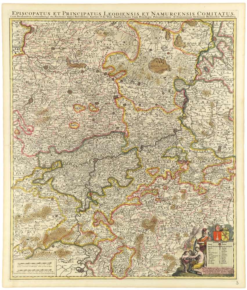
Episcopatus et Principatus Leodiensis et Namurcensis Comitatus, Cum Brabantiae, Luxemburgi etc. c. 1705-06
Liège - Namur, by Frederick de Wit.
[Item number: 33158]