
Very rare
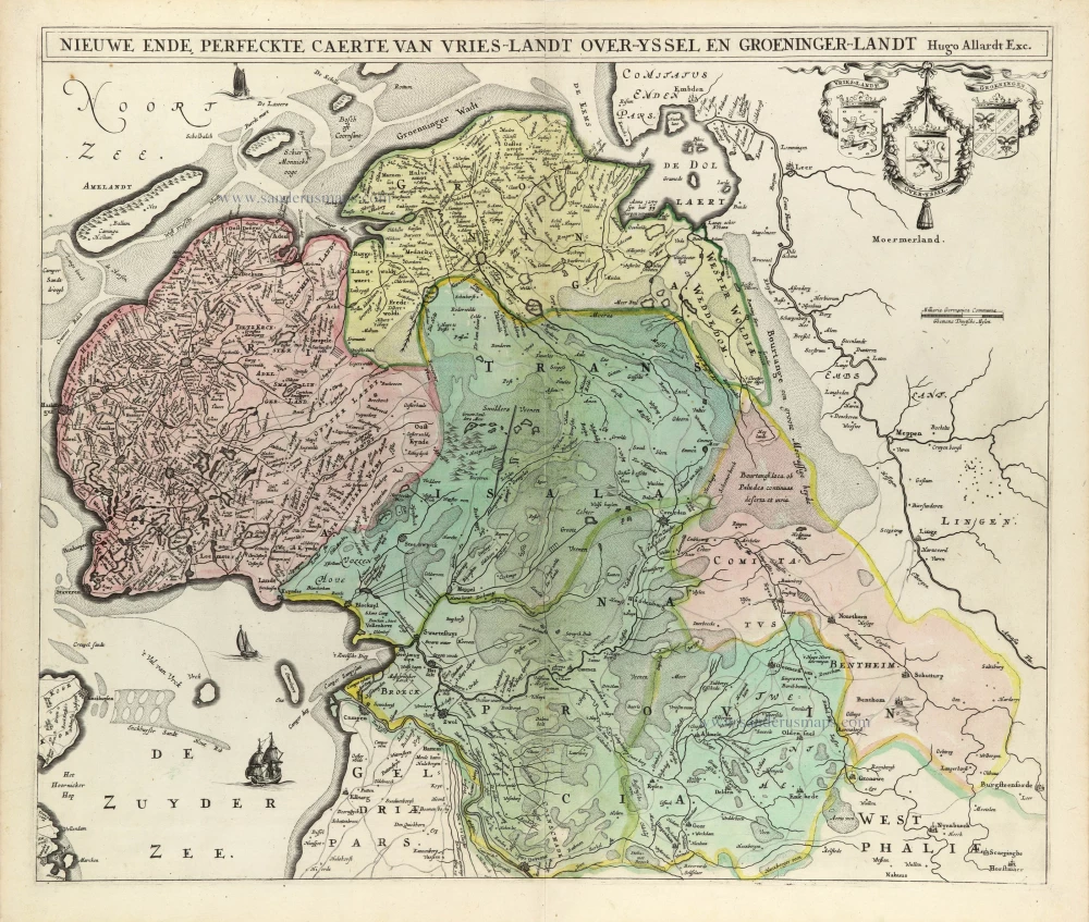
West Friesland by Hugo Allard. c. 1672-74
The Allard Family
The founder of this family of map-makers, publishers and print-sellers was Huych (Hugo) Allard (1625-1691). He worked in Amsterdam in 1684 and is supposed to have begun his business as early as 1645. He died in 1691, leaving his shop to his son, Carel Allard (1648-c. 1706). Carel brought out many maps and some atlases. His atlases are mainly composed of maps from the stock of other publishers like Janssonius and De Wit. However, some maps were his original creations. The States of Holland granted him a privilege for these maps in 1683.
One of the sons of Carel, Abraham Allard (1676-c.1730), joined his father in the map trade and was accepted as a member of the ‘Constvercoopers gilde’ (Art dealer’s Guild) in 1708.
The original geographical maps by Allard, designed and cut between 1680 and 1700, are very decorative, well-composed and up-to-date.
Nieuwe ende Perfeckte Caerte van Vries-Landt Over-Yssel en Groeninger-Landt.
Item Number: 32587 Authenticity Guarantee
Category: Antique maps > Europe > The Netherlands
West Friesland by Hugo Allard.
Title: Nieuwe ende Perfeckte Caerte van Vries-Landt Over-Yssel en Groeninger-Landt.
Hugo Allard exc.
c. 1672-74
Copper engraving, printed on paper.
Image size: 490 x 580mm (19¼ x 22¾ inches).
Sheet size: 530 x 620mm (20¾ x 24½ inches).
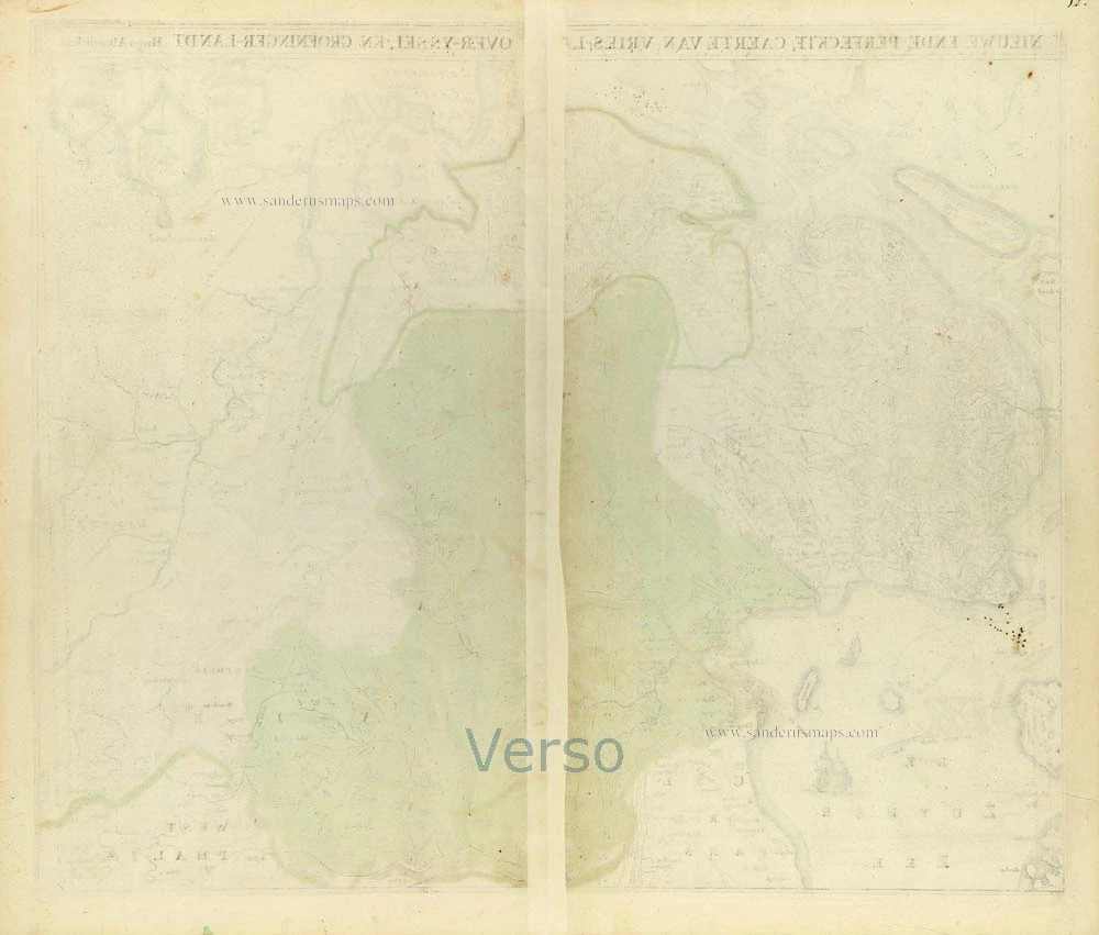
Verso: Blank.
Condition: Original coloured, excellent.
Condition Rating: A+.
From: Dutch Composite Atlas, c. 1670-1700.
Second state (of four).
The third and fourth states are with the name of Carel Allard.
Very rare - Only one copy recorded of the first state, three of the second, one of the third and one of the fourth.
The Allard Family
The founder of this family of map-makers, publishers and print-sellers was Huych (Hugo) Allard (1625-1691). He worked in Amsterdam in 1684 and is supposed to have begun his business as early as 1645. He died in 1691, leaving his shop to his son, Carel Allard (1648-c. 1706). Carel brought out many maps and some atlases. His atlases are mainly composed of maps from the stock of other publishers like Janssonius and De Wit. However, some maps were his original creations. The States of Holland granted him a privilege for these maps in 1683.
One of the sons of Carel, Abraham Allard (1676-c.1730), joined his father in the map trade and was accepted as a member of the ‘Constvercoopers gilde’ (Art dealer’s Guild) in 1708.
The original geographical maps by Allard, designed and cut between 1680 and 1700, are very decorative, well-composed and up-to-date.
Related items

Tabula Comitatus Frisiae. Auctore B: Schotano à Sterringa. c. 1680
Friesland, by Frederik De Wit.
[Item number: 2635]

Charte von Friesland 1759-1784
Friesland by Homann Heirs.
[Item number: 13868]

Frisia Occidentalis. 1635
Friesland, by Willem Blaeu.
[Item number: 21015]

Frisia Occidentalis 1598
West Friesland, by Abraham Ortelius.
[Item number: 22913]

Tabula Comitatus Frisiae. Auctore B: Schotano à Sterringa. c. 1715
Friesland by Frederik de Wit.
[Item number: 23665]

Frisiae Dominium vernacule Friesland, Ca. 1730
Friesland, by Ottens R. & I.
[Item number: 25746]

La Frise. 1713
Friesland by P. Van der Aa.
[Item number: 26064]

Frisia Occidentalis. 1629-30
West-Friesland, by Henricus Hondius.
[Item number: 26357]
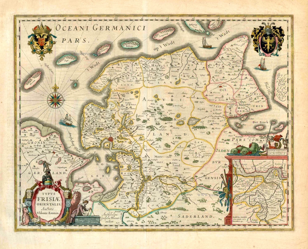
Typus Frisiae Orientalis. 1643
Ost-Friesland, by Willem Blaeu.
[Item number: 27110]

Tabula Frisiae, Groningae, er Territorii Emdensis nec non circumjacentium Regionum, puta Transisalaniae, Benthemiae, Westphaliae et Oldenburgi. c. 1665 - first state without borders
Friesland & Groningen by Nicolaes Visscher I.
[Item number: 28601]

Frisia Occidentalis. c. 1630-1650
West-Friesland, by Henricus Hondius.
[Item number: 31219]

La Seigneurie d'Ouest-Frise ou Frise Occidentale, divisée en ses Trois Parties, subdivisées en leurs Iuridictions. 1692
West-Friesland by N. Sanson, so-called published by Hubert Jaillot. (Pirated edition by Pierre Mortier).
[Item number: 31376]

Carte de la Frise Occidentale. 1633
Friesland by C. Tassin.
[Item number: 31755]