
Lisbon (Lisboa) and Cascale, by Georg Braun and Frans Hogenberg. 1599
The item displayed on this page has been sold. However, we have a similar map in stock:
Lisbon (Lisboa) + Cascale, by Georg Braun & Frans Hogenberg. 1593
Lisbona. Olisipo ... vulgo Lisbona Florentissimum ...
[Item number: 30545]
![Lisbona. Olisipo ... vulgo Lisbona Florentissimum Portugalliae Emporiv. [on sheet with] Cascale Lusitaniae Opp..](https://sanderusmaps.com/assets/RESIZED/thumb_m30545.jpg)
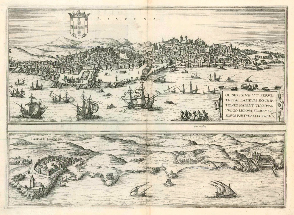
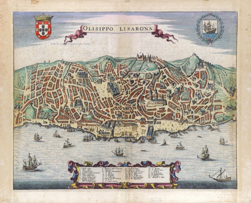
LISBON
TRANSLATION OF CARTOUCHE TEXT: Olisippo, or as can be read in inscriptions on ancient stones, Ulysippo, commonly known as Lisbon, is a flourishing trade centre in Portugal.
COMMENTARY BY BRAUN (on verso): "Lisbon can be counted amongst the oldest Spanish cities. Originally founded on a high hill on the banks of the Tejo, the city now covers numerous mountains and valleys. On this site can be found an old and rambling royal palace, magnificently decorated: to the north lies an important convent belonging to the Poor Clares, somewhat secluded on the River Tejo."
Lisbon's appearance in second place in the Civitates is certainly no accident, since by the start of the 16th century, Lisbon already numbered 350,000 inhabitants and thus ranked amongst the largest of all the most famous cities. The densely packed houses in the engraving underline this fact. Emphasis is also placed upon the harbour and shipyards, highlighting Lisbon's importance as a cosmopolitan trade centre. Lisbon was the Portuguese city that profited the most from the expansion of the Portuguese global empire, which began in 1499 after Vasco da Gama's voyages of discovery and led to the colonies in Asia and South America. Pope Alexander VI also underlined Portugal's importance with the coronation of Manuel I as "Lord of the conquest, navigation and commerce of India, Ethiopia, Arabia and Persia."
CASCAIS AND BELÉM
COMMENTARY BY BRAUN (on verso): "North of Lisbon lies the town of Cascale, which is particularly suitable as a safe harbour owing to its natural position with many inlets since the big ships can find a sheltered anchorage here during rough seas and can wait for a fair wind. [...] In a winding bay on the same shoreline lies the small town of Belém with a mighty church dedicated to the Blessed Virgin Mary."
Cascais and Belém are two small towns in the vicinity of Lisbon. They are seen in a low, bird's-eye perspective from the sea. The fishing village of Cascais, today a tourist destination and a popular beach resort, lies on a bay on the Atlantic coast some 25 km west of Lisbon. Belém was incorporated into Lisbon in 1885 and lies west of the city centre. The church of Santa Maria, mentioned by Braun, served the former Hieronymite monastery (c. 1502-1572). (Taschen)
Braun G. & Hogenberg F. and the Civitates Orbis Terrarum.
The Civitates Orbis Terrarum, also known as the 'Braun & Hogenberg', is a six-volume town atlas and the most excellent book of town views and plans ever published: 363 engravings, sometimes beautifully coloured. It was one of the best-selling works in the last quarter of the 16th century. Georg Braun, a skilled writer, wrote the text accompanying the plans and views on the verso. Many plates were engraved after the original drawings of a professional artist, Joris Hoefnagel (1542-1600). The first volume was published in Latin in 1572 and the sixth in 1617. Frans Hogenberg, a talented engraver, created the tables for volumes I through IV, and Simon van den Neuwel made those for volumes V and VI. Other contributors were cartographers Daniel Freese and Heinrich Rantzau, who provided valuable geographical information. Works by Jacob van Deventer, Sebastian Münster, and Johannes Stumpf were also used as references. Translations appeared in German and French, making the atlas accessible to a wider audience.
Since its original publication of volume 1 in 1572, the Civitates Orbis Terrarum has left an indelible mark on the history of cartography. The first volume was followed by seven more editions in 1575, 1577, 1582, 1588, 1593, 1599, and 1612. Vol.2, initially released in 1575, saw subsequent editions in 1597 and 1612. The subsequent volumes, each a treasure trove of historical insights, graced the world in 1581, 1588, 1593, 1599, and 1606. The German translation of the first volume, a testament to its widespread appeal, debuted in 1574, followed by the French edition in 1575.
Several printers were involved: Theodor Graminaeus, Heinrich von Aich, Gottfried von Kempen, Johannis Sinniger, Bertram Buchholtz, and Peter von Brachel, all of whom worked in Cologne.
Georg Braun (1541-1622)
Georg Braun, the author of the text accompanying the plans and views in the Civitates Orbis Terrarum, was born in Cologne in 1541. After his studies in Cologne, he entered the Jesuit Order as a novice, indicating his commitment to learning and intellectual pursuits. In 1561, he obtained his bachelor's degree; in 1562, he received his Magister Artium, further demonstrating his academic achievements. Although he left the Jesuit Order, he continued his studies in theology, gaining a licentiate in theology. His theological background likely influenced the content and tone of the text in the Civitates Orbis Terrarum, adding a unique perspective to the work.
Frans Hogenberg (1535-1590)
Frans Hogenberg was a Flemish and German painter, engraver, and mapmaker. He was born in Mechelen as the son of Nicolaas Hogenberg.
By the end of the 1560s, Frans Hogenberg was employed upon Abraham Ortelius's Theatrum Orbis Terrarum, published in 1570; he is named an engraver of numerous maps. In 1568, he was banned from Antwerp by the Duke of Alva and travelled to London, where he stayed a few years before emigrating to Cologne. He immediately embarked on his two most important works, the Civitates, published in 1572 and the Geschichtsblätter, which appeared in several series from 1569 until about 1587.
Thanks to large-scale projects like the Geschichtsblätter and the Civitates, Hogenberg's social circumstances improved with each passing year. He died as a wealthy man in Cologne in 1590.
Lisbona. Olisipo ... vulgo Lisbona Florentissimum Portugalliae Emporiv. [on sheet with] Cascale Lusitaniae Opp..
Item Number: 23897 Authenticity Guarantee
Category: Antique maps > Europe > Spain and Portugal
Antique map with two bird's-eye views of Lisbon (Lisboa) and Cascale by Braun and Hogenberg.
Date of the first edition: 1572
Date of this map: 1599
Copper engraving
Size: 35 x 48cm (13.7 x 18.7 inches)
Verso text: Latin
Condition: Uncoloured, excellent.
Condition Rating: A
References: Van der Krogt 4, 2412, State 2; Taschen, Braun and Hogenberg, p.50.
From: Civitates Orbis Terrarum, Liber Primus. Köln, Bertram Buchholtz, 1599. (Van der Krogt 4, 41:1.1)
LISBON
TRANSLATION OF CARTOUCHE TEXT: Olisippo, or as can be read in inscriptions on ancient stones, Ulysippo, commonly known as Lisbon, is a flourishing trade centre in Portugal.
COMMENTARY BY BRAUN (on verso): "Lisbon can be counted amongst the oldest Spanish cities. Originally founded on a high hill on the banks of the Tejo, the city now covers numerous mountains and valleys. On this site can be found an old and rambling royal palace, magnificently decorated: to the north lies an important convent belonging to the Poor Clares, somewhat secluded on the River Tejo."
Lisbon's appearance in second place in the Civitates is certainly no accident, since by the start of the 16th century, Lisbon already numbered 350,000 inhabitants and thus ranked amongst the largest of all the most famous cities. The densely packed houses in the engraving underline this fact. Emphasis is also placed upon the harbour and shipyards, highlighting Lisbon's importance as a cosmopolitan trade centre. Lisbon was the Portuguese city that profited the most from the expansion of the Portuguese global empire, which began in 1499 after Vasco da Gama's voyages of discovery and led to the colonies in Asia and South America. Pope Alexander VI also underlined Portugal's importance with the coronation of Manuel I as "Lord of the conquest, navigation and commerce of India, Ethiopia, Arabia and Persia."
CASCAIS AND BELÉM
COMMENTARY BY BRAUN (on verso): "North of Lisbon lies the town of Cascale, which is particularly suitable as a safe harbour owing to its natural position with many inlets since the big ships can find a sheltered anchorage here during rough seas and can wait for a fair wind. [...] In a winding bay on the same shoreline lies the small town of Belém with a mighty church dedicated to the Blessed Virgin Mary."
Cascais and Belém are two small towns in the vicinity of Lisbon. They are seen in a low, bird's-eye perspective from the sea. The fishing village of Cascais, today a tourist destination and a popular beach resort, lies on a bay on the Atlantic coast some 25 km west of Lisbon. Belém was incorporated into Lisbon in 1885 and lies west of the city centre. The church of Santa Maria, mentioned by Braun, served the former Hieronymite monastery (c. 1502-1572). (Taschen)
Braun G. & Hogenberg F. and the Civitates Orbis Terrarum.
The Civitates Orbis Terrarum, also known as the 'Braun & Hogenberg', is a six-volume town atlas and the most excellent book of town views and plans ever published: 363 engravings, sometimes beautifully coloured. It was one of the best-selling works in the last quarter of the 16th century. Georg Braun, a skilled writer, wrote the text accompanying the plans and views on the verso. Many plates were engraved after the original drawings of a professional artist, Joris Hoefnagel (1542-1600). The first volume was published in Latin in 1572 and the sixth in 1617. Frans Hogenberg, a talented engraver, created the tables for volumes I through IV, and Simon van den Neuwel made those for volumes V and VI. Other contributors were cartographers Daniel Freese and Heinrich Rantzau, who provided valuable geographical information. Works by Jacob van Deventer, Sebastian Münster, and Johannes Stumpf were also used as references. Translations appeared in German and French, making the atlas accessible to a wider audience.
Since its original publication of volume 1 in 1572, the Civitates Orbis Terrarum has left an indelible mark on the history of cartography. The first volume was followed by seven more editions in 1575, 1577, 1582, 1588, 1593, 1599, and 1612. Vol.2, initially released in 1575, saw subsequent editions in 1597 and 1612. The subsequent volumes, each a treasure trove of historical insights, graced the world in 1581, 1588, 1593, 1599, and 1606. The German translation of the first volume, a testament to its widespread appeal, debuted in 1574, followed by the French edition in 1575.
Several printers were involved: Theodor Graminaeus, Heinrich von Aich, Gottfried von Kempen, Johannis Sinniger, Bertram Buchholtz, and Peter von Brachel, all of whom worked in Cologne.
Georg Braun (1541-1622)
Georg Braun, the author of the text accompanying the plans and views in the Civitates Orbis Terrarum, was born in Cologne in 1541. After his studies in Cologne, he entered the Jesuit Order as a novice, indicating his commitment to learning and intellectual pursuits. In 1561, he obtained his bachelor's degree; in 1562, he received his Magister Artium, further demonstrating his academic achievements. Although he left the Jesuit Order, he continued his studies in theology, gaining a licentiate in theology. His theological background likely influenced the content and tone of the text in the Civitates Orbis Terrarum, adding a unique perspective to the work.
Frans Hogenberg (1535-1590)
Frans Hogenberg was a Flemish and German painter, engraver, and mapmaker. He was born in Mechelen as the son of Nicolaas Hogenberg.
By the end of the 1560s, Frans Hogenberg was employed upon Abraham Ortelius's Theatrum Orbis Terrarum, published in 1570; he is named an engraver of numerous maps. In 1568, he was banned from Antwerp by the Duke of Alva and travelled to London, where he stayed a few years before emigrating to Cologne. He immediately embarked on his two most important works, the Civitates, published in 1572 and the Geschichtsblätter, which appeared in several series from 1569 until about 1587.
Thanks to large-scale projects like the Geschichtsblätter and the Civitates, Hogenberg's social circumstances improved with each passing year. He died as a wealthy man in Cologne in 1590.
Related items
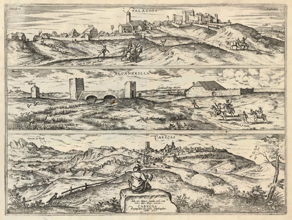
Palacios [on sheet with:] Alcanerilla [and] Cabecas. 1623
Palacios - Alcantarilla - Cabecas by Georg Braun & Frans Hogenberg.
[Item number: 103]
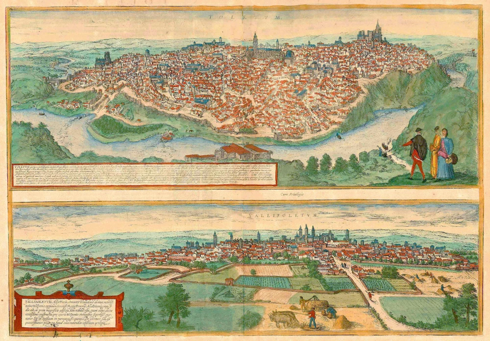
Toletum [on sheet with] Vallisoletum ... Nobilis. Totius Hispania Oppidum 1572-1624
Toledo & Valladolid by Georg Braun & Frans Hogenberg.
[Item number: 2067]
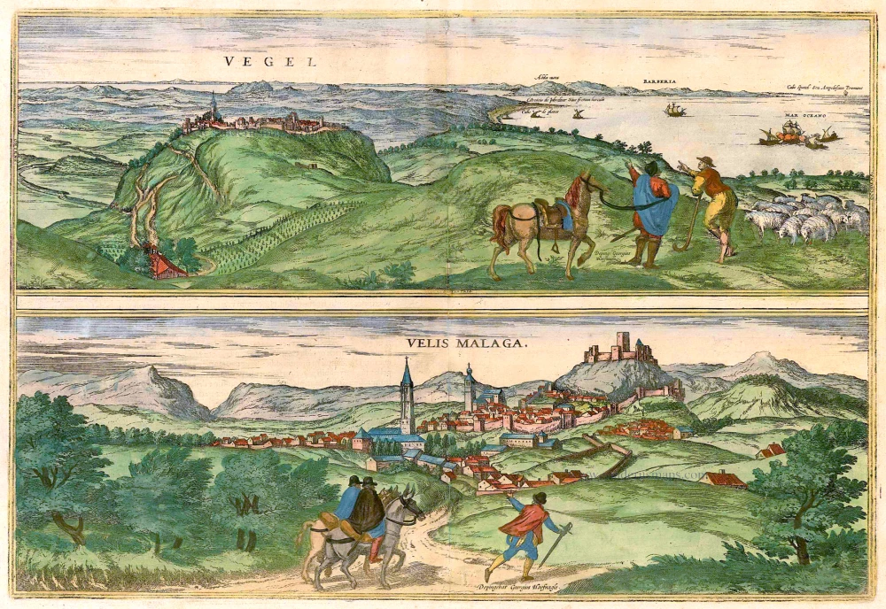
Vegel [on sheet with] Velis Malaga. 1575-1612
Vejer de la Frontera and Vélez-Málaga, by Georg Braun and Frans Hogenberg.
[Item number: 14895]
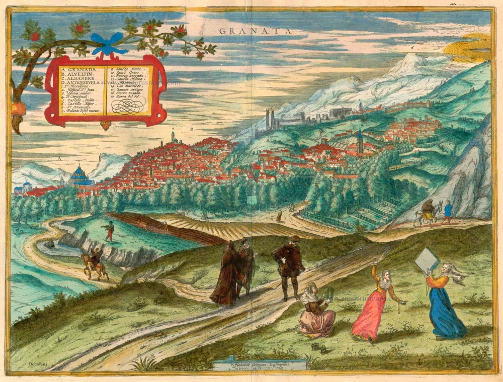
Granata. 1623
Granada by Georg Braun & Frans Hogenberg.
[Item number: 16665]
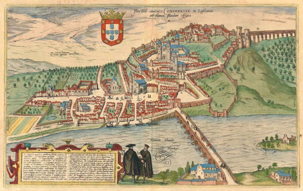
Illustris Civitati Conimbriae In Lusitania ad flumen Illundam effigies. 1596-1640
Coimbra by Braun & Hogenberg.
[Item number: 21345]
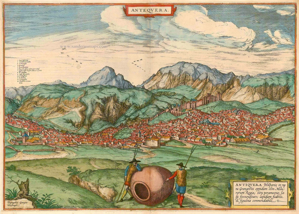
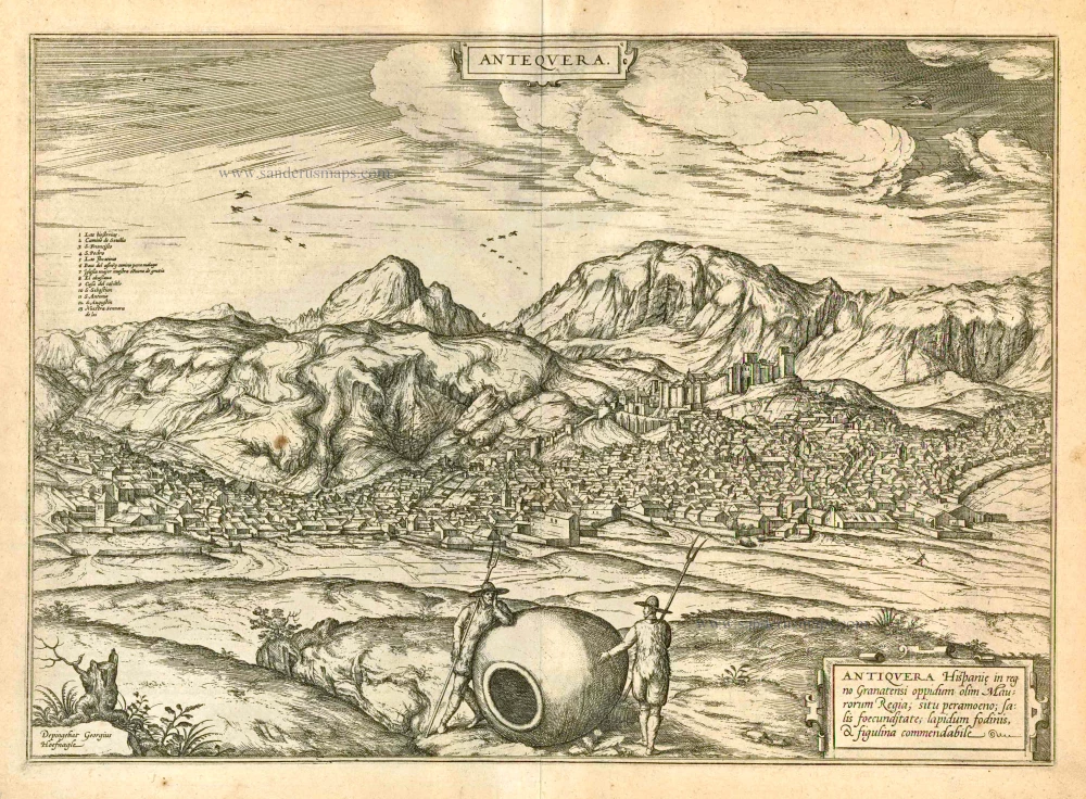
Antequera 1575
Antequera, by Georg Braun & Frans Hogenberg.
[Item number: 21641]
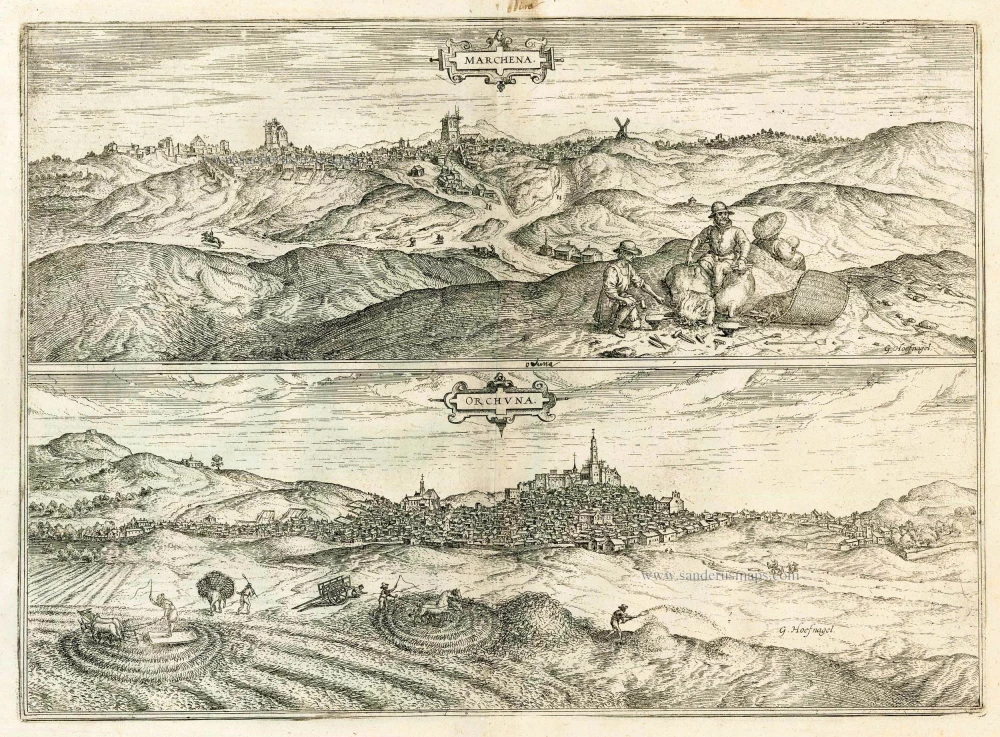
Marchena [on sheet with] Onchuna. 1588-97
Marchena and Osuna, by Georg Braun and Frans Hogenberg.
[Item number: 22247]
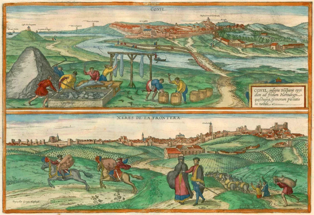
Conil [on sheet with] Xeres de la Frontera. 1623
Conil de la Frontera - Jerez de la Frontera, by Braun & Hogenberg.
[Item number: 22364]
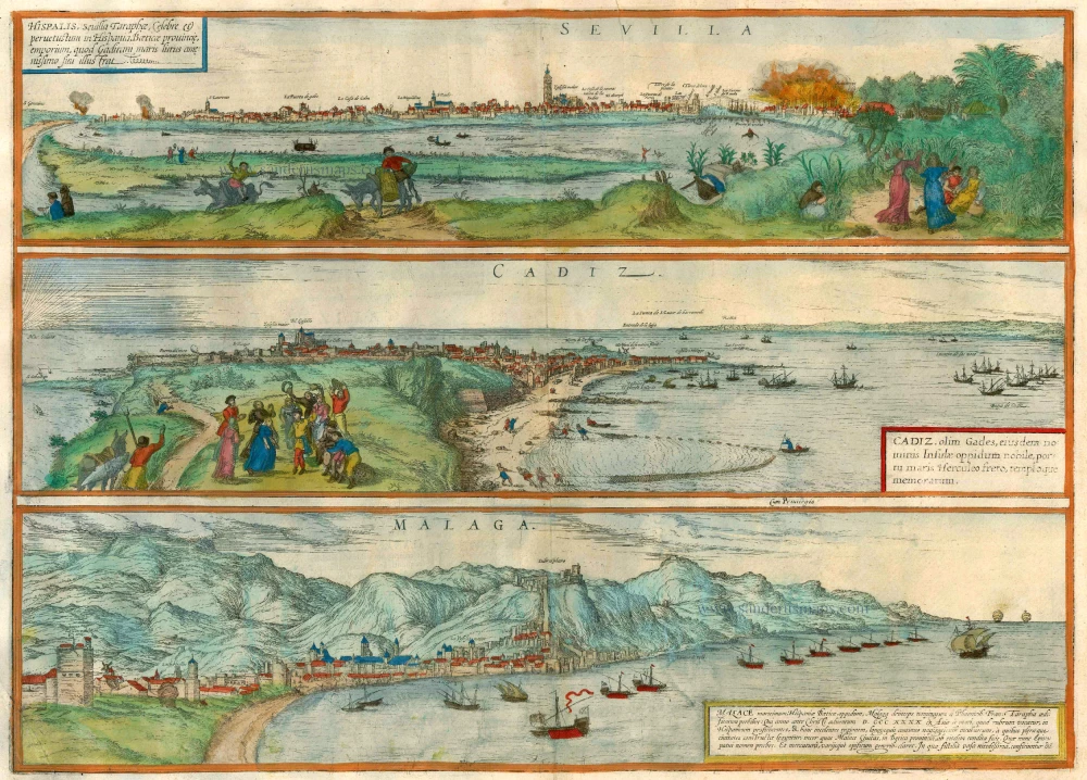
Sevilla, Hispalis ... [on sheet with] Cadiz [and] Malaga. 1572-1624
Antique map of Seville (Sevilla) - Cadiz - Malaga by Braun & Hogenberg
[Item number: 22685]
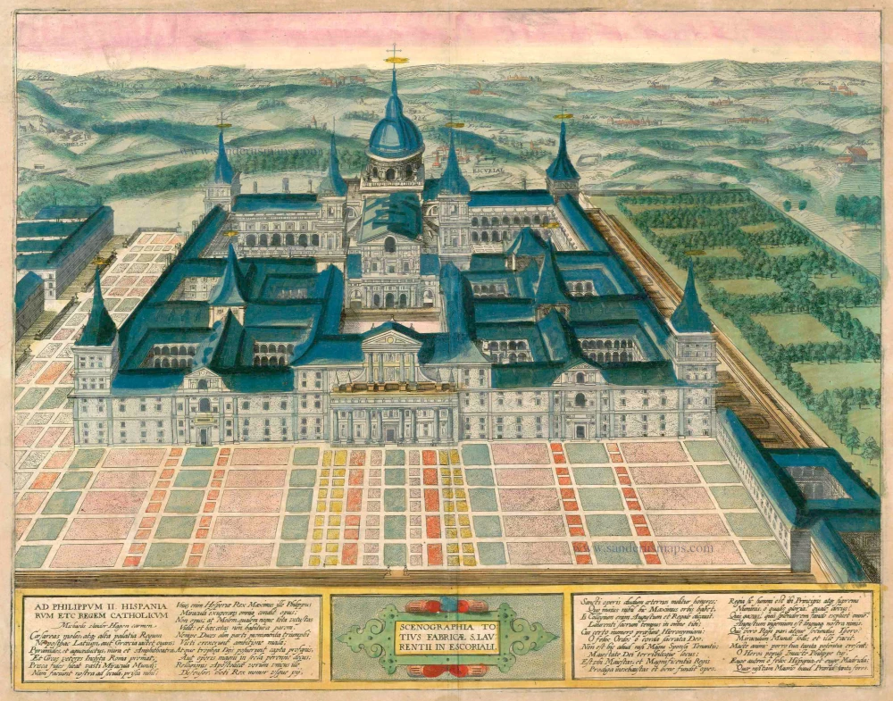
Scenographia Totius Fabricae S. Laurentii in Escoriali 1618
Spain - Escorial, by Braun & Hogenberg.
[Item number: 23409]
Antequera 1597
Antiquera, by Georg Braun and Frans Hogenberg.
[Item number: 23958]
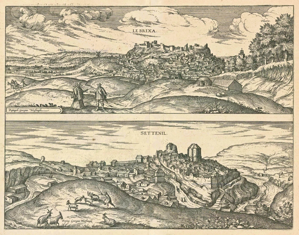
Le Brixa [on sheet with] Settenil. 1599
Lebrija & Settenil de las Bodegas, by Georg Braun and Frans Hogenberg.
[Item number: 24018]
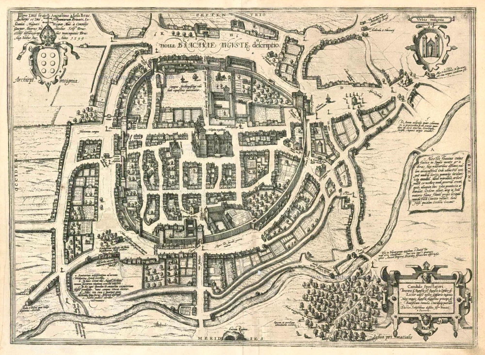
Nova Bracarae Auguste Descriptio. 1596
Braga, by Georg Braun and Frans Hogenberg.
[Item number: 24134]
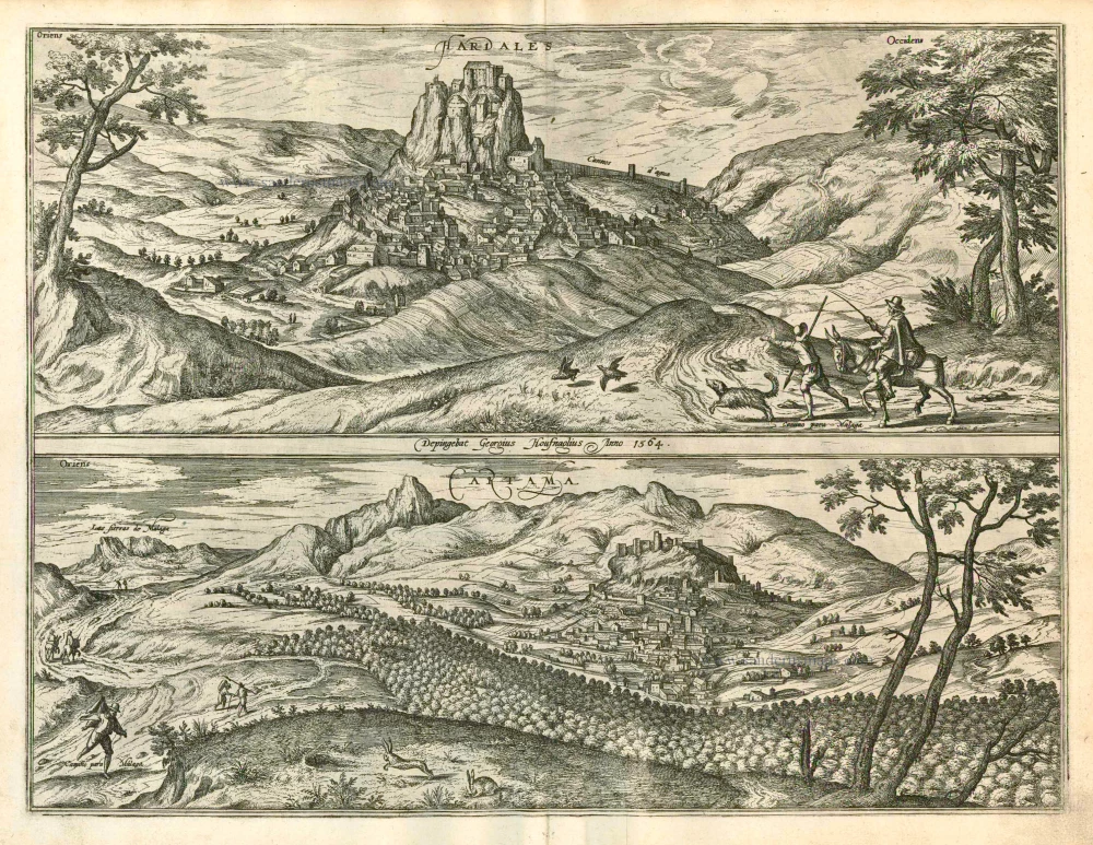
Hardales [on sheet with] Cartama 1596
Ardales and Cartama, by Georg Braun and Frans Hogenberg.
[Item number: 24142]
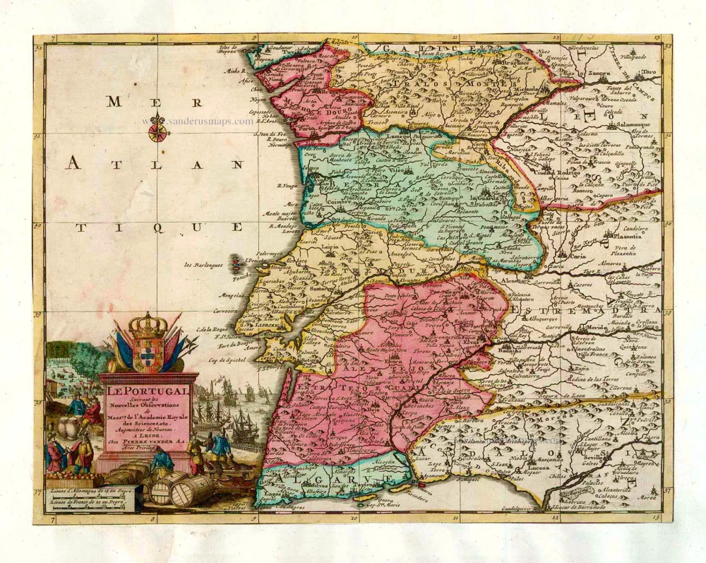
Le Portugal. 1713
Portugal, by Pieter van der Aa.
[Item number: 26086]
Olisippo Lisabona. 1657
Lisbon (Lisboa) by Joannes Janssonius.
[Item number: 29596]
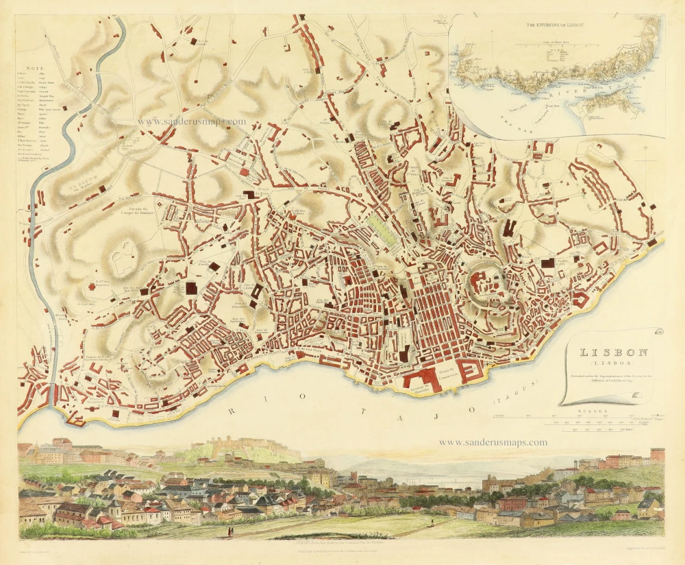
Lisbon Lisboa 1833
Map and view of Lisbon,
[Item number: 30795]
new