
Toledo & Valladolid by Georg Braun & Frans Hogenberg. 1572-1624

TOLEDO
TRANSLATION OF CARTOUCHE TEXT: Toledo is the capital of the Kingdom of Spain, situated on the River Tajo: its archbisschop is also the head of the clergy of all Spain. This city was surrounded by a solid wall erected by King Bamba and embellished with numerous magnificent buildings. ... When Roderick, the last king of the Visigoths, ruled in Toledo, there !was a palace here that was sealed with many iron locks. Against the wishes of the Spaniards, Roderick had these locks broken open, since he hoped to find a vast treasure hidden inside. Once he had entered the castle, however, he found inside just a single chest with a painted cloth, on which was written in Latin that, when the palace was opened and the bolts and locks were broken, the persons depicted on it would conquer Spain; but the painting showed Moors and Arabs in battle dress. When he saw this, he had the castle locked up again. Shortly afterwards, in the year AD 711, as recounted by Francisco Tarapha and others, Arabs and Saracens attacked the city for eight days without interruption, killed king Roderick and wiped out the Spanish nobility, in other words, gained control of the entire land by force.
COMMENTARY BY BRAUN: "Although Toledo lies in the middle of Spain, its mountainous and barren setting ensures that the city is very difficult to access. The noble River Tajo, which is famous for its gold sand, flows around the large part of the city and thus protects it from its enemies. The northern part of the city is protected by strong walls and 150 towers. ... In this city there are many knights and nobles, but also a very large number of ordinary citizens. A respected clergy lives here, the liberal arts are practised and artisans and merchants also have a respectable trade, in particular the silk and wool merchants; around 10,000 people in the city earn their living in these two industries."
In this view, presented from the opposite bank of the Tajo from the cliffs beside Virgen del Valle, Toledo's striking location on the southern Meseta Plateau, roughly 100 m above the Tajo River, is emphasized. The city and surrounding countryside are rendered with great precision and almost every house seems to be individually drawn. The churches and the Alcásar rise high above the sea of houses. A wealthy and powerful city up to 1560, Toledo for a while maintained its position as the spiritual capital and cultural centre of Spain, even after Philip II moved his court to Madrid in 1561, the city numbering 62,000 inhabitants in 1571. Although the civic authorities endeavoured to increase the city's appeal through renovations and large-scale expansion, their efforts failed to persuade Philip II to return, with the result that Toledo went into a decline after 1600.
VALLADOLID
CARTOUCHE: Valladolid is the most common name for Vallisoletum, which is also called Pincia. It is the noblest city in all Spain, seat of His Most Serene Highness and of the most noble and famous men, for this reason also embellished in a captivatingly beautiful manner with magnificent architecture, both with regard to the palaces of the nobility and the churches - in comparison to other Spanish cities truly a jewel! With its numerous artisans and merchants, fertile local soil and the Pisuerga flowing past, the city enjoys appreciable advantages.
COMMENTARY BY BRAUN: "Pincia, which is generally called Valladolid, however, is the largest and most magnificent of all the cities in Spain. ... I know not what other cities I should compare with, for it has an outstanding location on the lovely banks of the River Pisuerga, it is richly endowed with artists and craftsmen, but also with buildings, churches, monasteries and two religious foundations. ... Picia is also particularly well known for the reason that His Most Serene Highness, the King of Spain, Philip, was born there. For it is fitting that such an almighty king should be born not just anywhere, but in the most important and beautiful city."
An elevated viewpoint has been deliberately chosen in order to provide a better overview of the city. The staffage figures in peasant dress emphasize the rural character of the surrounding countryside. Rising prominently in the centre of the city is the church of San Pablo. The text mentions King Philip II of Spain, who was born in Valladolid on 21 May 1529. In the 15th and 16th centuries Valladolid was the residence of the Kings of Castile and the centre of the Spanish Renaissance. Philip II centralized the kingdom and in 1561 moved his court to Madrid. Valladolid is the capital of the eponymous province and of the Castilla y León region and has some 320,000 inhabitants. (Taschen)
SOURCE: In 1565 Anton van den Wyngaerde was commissioned by Philip II to execute a view of Valladolid, which is similar to the Civitates representation. Van den Wyngaerde travelled through Spain in the employ of the Spanish king Philip II and made preparatory sketches of cities to be worked out as paintings that were to be hung in the Alcásar in Toledo. The whereabouts of the paintings is unknown; nevertheless preliminary drawings for some of them are extant. Kagan (1989) assumes that Hoefnagel was familiar with van den Wyngaerde's work and that he may even have used it as a repertory of sources to complete his own views of Spain.
Braun G. & Hogenberg F. and the Civitates Orbis Terrarum.
The Civitates Orbis Terrarum, also known as the 'Braun & Hogenberg', is a six-volume town atlas and the most excellent book of town views and plans ever published: 363 engravings, sometimes beautifully coloured. It was one of the best-selling works in the last quarter of the 16th century. Georg Braun, a skilled writer, wrote the text accompanying the plans and views on the verso. Many plates were engraved after the original drawings of a professional artist, Joris Hoefnagel (1542-1600). The first volume was published in Latin in 1572 and the sixth in 1617. Frans Hogenberg, a talented engraver, created the tables for volumes I through IV, and Simon van den Neuwel made those for volumes V and VI. Other contributors were cartographers Daniel Freese and Heinrich Rantzau, who provided valuable geographical information. Works by Jacob van Deventer, Sebastian Münster, and Johannes Stumpf were also used as references. Translations appeared in German and French, making the atlas accessible to a broader audience.
Since its original publication of volume 1 in 1572, the Civitates Orbis Terrarum has left an indelible mark on the history of cartography. Seven more editions followed the first volume in 1575, 1577, 1582, 1588, 1593, 1599, and 1612. Vol.2, initially released in 1575, saw subsequent editions in 1597 and 1612. The subsequent volumes, each a treasure trove of historical insights, graced the world in 1581, 1588, 1593, 1599, and 1606. The German translation of the first volume, a testament to its widespread appeal, debuted in 1574, followed by the French edition in 1575.
Several printers were involved: Theodor Graminaeus, Heinrich von Aich, Gottfried von Kempen, Johannis Sinniger, Bertram Buchholtz, and Peter von Brachel, all of whom worked in Cologne.
Georg Braun (1541-1622)
Georg Braun, the author of the text accompanying the plans and views in the Civitates Orbis Terrarum, was born in Cologne in 1541. After his studies in Cologne, he entered the Jesuit Order as a novice, indicating his commitment to learning and intellectual pursuits. In 1561, he obtained his bachelor's degree; in 1562, he received his Magister Artium, further demonstrating his academic achievements. Although he left the Jesuit Order, he continued his studies in theology, gaining a licentiate in theology. His theological background likely influenced the content and tone of the text in the Civitates Orbis Terrarum, adding a unique perspective to the work.
Frans Hogenberg (1535-1590)
Frans Hogenberg was a Flemish and German painter, engraver, and mapmaker. He was born in Mechelen as the son of Nicolaas Hogenberg.
By the end of the 1560s, Frans Hogenberg was employed upon Abraham Ortelius's Theatrum Orbis Terrarum, published in 1570; he is named an engraver of numerous maps. In 1568, he was banned from Antwerp by the Duke of Alva and travelled to London, where he stayed a few years before emigrating to Cologne. He immediately embarked on his two most important works, the Civitates, published in 1572 and the Geschichtsblätter, which appeared in several series from 1569 until about 1587.
Thanks to large-scale projects like the Geschichtsblätter and the Civitates, Hogenberg's social circumstances improved with each passing year. He died as a wealthy man in Cologne in 1590.
Toletum [on sheet with] Vallisoletum ... Nobilis. Totius Hispania Oppidum
Item Number: 2067 Authenticity Guarantee
Category: Antique maps > Europe > Spain and Portugal
Two bird's-eye views on one sheet: Toledo and Valladolid.
Title: Toletum [on sheet with] Vallisoletum ... Nobilis. Totius Hispania Oppidum
Date: 1572-1624.
Copper engraving, printed on paper.
Size (not including margins): 330 x 470mm (12.99 x 18.5 inches).
Verso: Latin text.
Condition: Original coloured, age-toned, slight browning along centrefold.
Condition Rating: B+
From: Civitates Orbis Terrarum, ... Part 1. Köln, 1572-1624. (Van der Krogt 4, 41:1.1)
TOLEDO
TRANSLATION OF CARTOUCHE TEXT: Toledo is the capital of the Kingdom of Spain, situated on the River Tajo: its archbisschop is also the head of the clergy of all Spain. This city was surrounded by a solid wall erected by King Bamba and embellished with numerous magnificent buildings. ... When Roderick, the last king of the Visigoths, ruled in Toledo, there !was a palace here that was sealed with many iron locks. Against the wishes of the Spaniards, Roderick had these locks broken open, since he hoped to find a vast treasure hidden inside. Once he had entered the castle, however, he found inside just a single chest with a painted cloth, on which was written in Latin that, when the palace was opened and the bolts and locks were broken, the persons depicted on it would conquer Spain; but the painting showed Moors and Arabs in battle dress. When he saw this, he had the castle locked up again. Shortly afterwards, in the year AD 711, as recounted by Francisco Tarapha and others, Arabs and Saracens attacked the city for eight days without interruption, killed king Roderick and wiped out the Spanish nobility, in other words, gained control of the entire land by force.
COMMENTARY BY BRAUN: "Although Toledo lies in the middle of Spain, its mountainous and barren setting ensures that the city is very difficult to access. The noble River Tajo, which is famous for its gold sand, flows around the large part of the city and thus protects it from its enemies. The northern part of the city is protected by strong walls and 150 towers. ... In this city there are many knights and nobles, but also a very large number of ordinary citizens. A respected clergy lives here, the liberal arts are practised and artisans and merchants also have a respectable trade, in particular the silk and wool merchants; around 10,000 people in the city earn their living in these two industries."
In this view, presented from the opposite bank of the Tajo from the cliffs beside Virgen del Valle, Toledo's striking location on the southern Meseta Plateau, roughly 100 m above the Tajo River, is emphasized. The city and surrounding countryside are rendered with great precision and almost every house seems to be individually drawn. The churches and the Alcásar rise high above the sea of houses. A wealthy and powerful city up to 1560, Toledo for a while maintained its position as the spiritual capital and cultural centre of Spain, even after Philip II moved his court to Madrid in 1561, the city numbering 62,000 inhabitants in 1571. Although the civic authorities endeavoured to increase the city's appeal through renovations and large-scale expansion, their efforts failed to persuade Philip II to return, with the result that Toledo went into a decline after 1600.
VALLADOLID
CARTOUCHE: Valladolid is the most common name for Vallisoletum, which is also called Pincia. It is the noblest city in all Spain, seat of His Most Serene Highness and of the most noble and famous men, for this reason also embellished in a captivatingly beautiful manner with magnificent architecture, both with regard to the palaces of the nobility and the churches - in comparison to other Spanish cities truly a jewel! With its numerous artisans and merchants, fertile local soil and the Pisuerga flowing past, the city enjoys appreciable advantages.
COMMENTARY BY BRAUN: "Pincia, which is generally called Valladolid, however, is the largest and most magnificent of all the cities in Spain. ... I know not what other cities I should compare with, for it has an outstanding location on the lovely banks of the River Pisuerga, it is richly endowed with artists and craftsmen, but also with buildings, churches, monasteries and two religious foundations. ... Picia is also particularly well known for the reason that His Most Serene Highness, the King of Spain, Philip, was born there. For it is fitting that such an almighty king should be born not just anywhere, but in the most important and beautiful city."
An elevated viewpoint has been deliberately chosen in order to provide a better overview of the city. The staffage figures in peasant dress emphasize the rural character of the surrounding countryside. Rising prominently in the centre of the city is the church of San Pablo. The text mentions King Philip II of Spain, who was born in Valladolid on 21 May 1529. In the 15th and 16th centuries Valladolid was the residence of the Kings of Castile and the centre of the Spanish Renaissance. Philip II centralized the kingdom and in 1561 moved his court to Madrid. Valladolid is the capital of the eponymous province and of the Castilla y León region and has some 320,000 inhabitants. (Taschen)
SOURCE: In 1565 Anton van den Wyngaerde was commissioned by Philip II to execute a view of Valladolid, which is similar to the Civitates representation. Van den Wyngaerde travelled through Spain in the employ of the Spanish king Philip II and made preparatory sketches of cities to be worked out as paintings that were to be hung in the Alcásar in Toledo. The whereabouts of the paintings is unknown; nevertheless preliminary drawings for some of them are extant. Kagan (1989) assumes that Hoefnagel was familiar with van den Wyngaerde's work and that he may even have used it as a repertory of sources to complete his own views of Spain.
Braun G. & Hogenberg F. and the Civitates Orbis Terrarum.
The Civitates Orbis Terrarum, also known as the 'Braun & Hogenberg', is a six-volume town atlas and the most excellent book of town views and plans ever published: 363 engravings, sometimes beautifully coloured. It was one of the best-selling works in the last quarter of the 16th century. Georg Braun, a skilled writer, wrote the text accompanying the plans and views on the verso. Many plates were engraved after the original drawings of a professional artist, Joris Hoefnagel (1542-1600). The first volume was published in Latin in 1572 and the sixth in 1617. Frans Hogenberg, a talented engraver, created the tables for volumes I through IV, and Simon van den Neuwel made those for volumes V and VI. Other contributors were cartographers Daniel Freese and Heinrich Rantzau, who provided valuable geographical information. Works by Jacob van Deventer, Sebastian Münster, and Johannes Stumpf were also used as references. Translations appeared in German and French, making the atlas accessible to a broader audience.
Since its original publication of volume 1 in 1572, the Civitates Orbis Terrarum has left an indelible mark on the history of cartography. Seven more editions followed the first volume in 1575, 1577, 1582, 1588, 1593, 1599, and 1612. Vol.2, initially released in 1575, saw subsequent editions in 1597 and 1612. The subsequent volumes, each a treasure trove of historical insights, graced the world in 1581, 1588, 1593, 1599, and 1606. The German translation of the first volume, a testament to its widespread appeal, debuted in 1574, followed by the French edition in 1575.
Several printers were involved: Theodor Graminaeus, Heinrich von Aich, Gottfried von Kempen, Johannis Sinniger, Bertram Buchholtz, and Peter von Brachel, all of whom worked in Cologne.
Georg Braun (1541-1622)
Georg Braun, the author of the text accompanying the plans and views in the Civitates Orbis Terrarum, was born in Cologne in 1541. After his studies in Cologne, he entered the Jesuit Order as a novice, indicating his commitment to learning and intellectual pursuits. In 1561, he obtained his bachelor's degree; in 1562, he received his Magister Artium, further demonstrating his academic achievements. Although he left the Jesuit Order, he continued his studies in theology, gaining a licentiate in theology. His theological background likely influenced the content and tone of the text in the Civitates Orbis Terrarum, adding a unique perspective to the work.
Frans Hogenberg (1535-1590)
Frans Hogenberg was a Flemish and German painter, engraver, and mapmaker. He was born in Mechelen as the son of Nicolaas Hogenberg.
By the end of the 1560s, Frans Hogenberg was employed upon Abraham Ortelius's Theatrum Orbis Terrarum, published in 1570; he is named an engraver of numerous maps. In 1568, he was banned from Antwerp by the Duke of Alva and travelled to London, where he stayed a few years before emigrating to Cologne. He immediately embarked on his two most important works, the Civitates, published in 1572 and the Geschichtsblätter, which appeared in several series from 1569 until about 1587.
Thanks to large-scale projects like the Geschichtsblätter and the Civitates, Hogenberg's social circumstances improved with each passing year. He died as a wealthy man in Cologne in 1590.
Related items
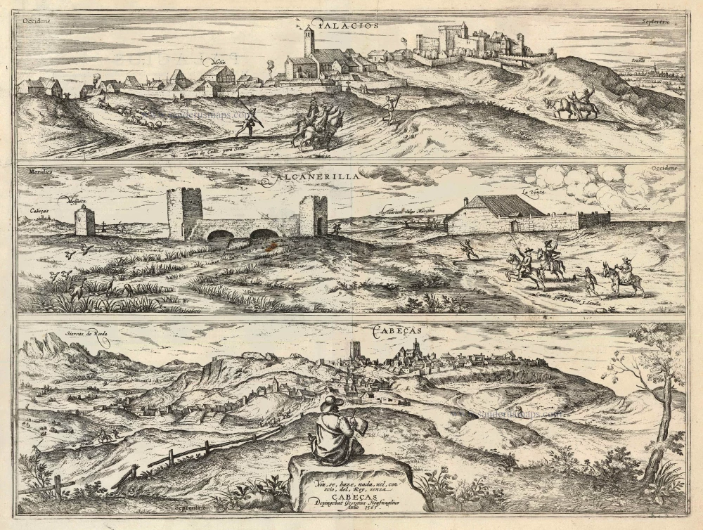
Palacios [on sheet with:] Alcanerilla [and] Cabecas. 1623
Palacios - Alcantarilla - Cabecas by Georg Braun & Frans Hogenberg.
[Item number: 103]
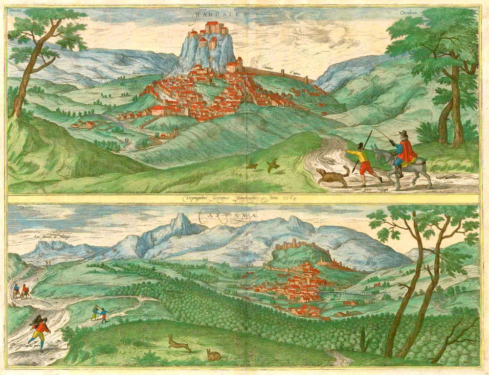
Hardales [on sheet with] Cartama. 1596
Ardales & Cartama by Georg Braun & Frans Hogenberg.
[Item number: 229]

Conil [on sheet with] Xeres de la Frontera 1576
Conil de la Frontera and Jerez de la Frontera, by Georg Braun and Frans Hogenberg, after Georg Hoefnagel.
[Item number: 4133]

Loxa 1593
Loja, by Georg Braun and Frans Hogenberg.
[Item number: 14706]

Alhama 1593
Alhama de Granada by Georg Braun & Frans Hogenberg
[Item number: 14714]

Vegel [on sheet with] Velis Malaga. 1575-1612
Vejer de la Frontera and Vélez-Málaga, by Georg Braun and Frans Hogenberg.
[Item number: 14895]

Corduba. c. 1625
Cordoba, by Georg Braun and Frans Hogenberg.
[Item number: 16385]

Granata. 1623
Granada by Georg Braun & Frans Hogenberg.
[Item number: 16665]

Palacios [on sheet with:] Alcanerilla [and] Cabecas. c. 1610
Los Palacios y Villafranca - Las Alcantarillas - Las Cabezas de San Juan, by Georg Braun and Frans Hogenberg.
[Item number: 16715]

Granada 1563. 1582
Granada, by Georg Braun and Frans Hogenberg.
[Item number: 25487]

Toletum. 1617
Toledo, by Georg Braun and Frans Hogenberg.
[Item number: 32201]
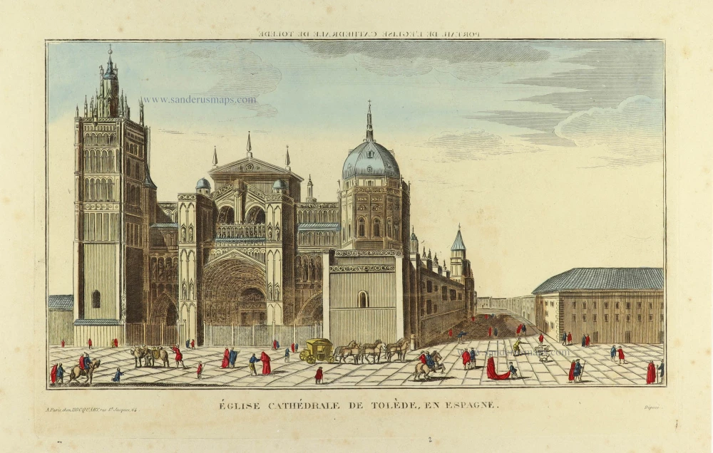
Eglise Cathédrale de Tolède, en Espagne. c. 1830
Optical view of the cathedral of Toledo, by Édouard-Auguste-Patrice Hocquart
[Item number: 32390]