
Coimbra by Braun & Hogenberg. 1596-1640

TRANSLATION OF CAPTION: Illustration of the celebrated city of Coimbra in Lusitania on the Illunda.
COMMENTARY BY BRAUN: "Coimbra stands out from other cities for it has a very beautiful collegiate church, a cathedral and furthermore an excellent and widely famed university, which lies in a favourable location and at which the liberal arts are taught. At the expense of the King, many professors and men learned in the Holy Scriptures, law and medicine teach there, for which they receive a rich and handsome living and pay."
The university city of Coimbra, which lies between Lisbon and Porto, is seen from the southwest, whereby the artist has selected an elevated viewpoint from the opposite bank of the River Mondego. The engraving offers an impressive panorama of the Lower Town and - rising steeply up the hillside behind - the Upper Town with the university buildings (A/L). The University of Coimbra is the oldest in Portugal and was founded in 1290 by Denis, the sixth king of Portugal from the house of Burgundy. The two academics seen in learned discussion in the foreground make further visual reference to the university. After Ferdinand I of Castile and Léon had reconquered the city from the occupying Moors in 1064, Coimbra became the capital of Portugal, from 1139 to 1255. During this period it was significantly enlarged: the Romanesque monastery of Santa Cruz (S) was begun in 1131 and in 1139 the old cathedral of Sé Velha (E), one of Portugal's most important works of Romanesque architecture. The Roman aqueduct (D) also still survives today. (Taschen)
Braun G. & Hogenberg F. and the Civitates Orbis Terrarum.
The Civitates Orbis Terrarum, also known as the 'Braun & Hogenberg', is a six-volume town atlas and the most excellent book of town views and plans ever published: 363 engravings, sometimes beautifully coloured. It was one of the best-selling works in the last quarter of the 16th century. Georg Braun, a skilled writer, wrote the text accompanying the plans and views on the verso. Many plates were engraved after the original drawings of a professional artist, Joris Hoefnagel (1542-1600). The first volume was published in Latin in 1572 and the sixth in 1617. Frans Hogenberg, a talented engraver, created the tables for volumes I through IV, and Simon van den Neuwel made those for volumes V and VI. Other contributors were cartographers Daniel Freese and Heinrich Rantzau, who provided valuable geographical information. Works by Jacob van Deventer, Sebastian Münster, and Johannes Stumpf were also used as references. Translations appeared in German and French, making the atlas accessible to a broader audience.
Since its original publication of volume 1 in 1572, the Civitates Orbis Terrarum has left an indelible mark on the history of cartography. Seven more editions followed the first volume in 1575, 1577, 1582, 1588, 1593, 1599, and 1612. Vol.2, initially released in 1575, saw subsequent editions in 1597 and 1612. The subsequent volumes, each a treasure trove of historical insights, graced the world in 1581, 1588, 1593, 1599, and 1606. The German translation of the first volume, a testament to its widespread appeal, debuted in 1574, followed by the French edition in 1575.
Several printers were involved: Theodor Graminaeus, Heinrich von Aich, Gottfried von Kempen, Johannis Sinniger, Bertram Buchholtz, and Peter von Brachel, all of whom worked in Cologne.
Georg Braun (1541-1622)
Georg Braun, the author of the text accompanying the plans and views in the Civitates Orbis Terrarum, was born in Cologne in 1541. After his studies in Cologne, he entered the Jesuit Order as a novice, indicating his commitment to learning and intellectual pursuits. In 1561, he obtained his bachelor's degree; in 1562, he received his Magister Artium, further demonstrating his academic achievements. Although he left the Jesuit Order, he continued his studies in theology, gaining a licentiate in theology. His theological background likely influenced the content and tone of the text in the Civitates Orbis Terrarum, adding a unique perspective to the work.
Frans Hogenberg (1535-1590)
Frans Hogenberg was a Flemish and German painter, engraver, and mapmaker. He was born in Mechelen as the son of Nicolaas Hogenberg.
By the end of the 1560s, Frans Hogenberg was employed upon Abraham Ortelius's Theatrum Orbis Terrarum, published in 1570; he is named an engraver of numerous maps. In 1568, he was banned from Antwerp by the Duke of Alva and travelled to London, where he stayed a few years before emigrating to Cologne. He immediately embarked on his two most important works, the Civitates, published in 1572 and the Geschichtsblätter, which appeared in several series from 1569 until about 1587.
Thanks to large-scale projects like the Geschichtsblätter and the Civitates, Hogenberg's social circumstances improved with each passing year. He died as a wealthy man in Cologne in 1590.
Illustris Civitati Conimbriae In Lusitania ad flumen Illundam effigies.
Item Number: 21345 Authenticity Guarantee
Category: Antique maps > Europe > Spain and Portugal
Old, antique bird’s-eye view plan of Coimbra by Braun & Hogenberg.
Title: Illustris Civitati Conimbriae In Lusitania ad flumen Illundam effigies.
Date: 1596-1640.
Copper engraving, printed on paper.
Size (not including margins): 288 x 460mm (11.34 x 18.11 inches).
Verso: Latin text.
Condition: Old coloured, slightly age-toned.
Condition Rating: A.
From: Civitates Orbis Terrarum, ... Part 5. Köln, 1596-1640.
TRANSLATION OF CAPTION: Illustration of the celebrated city of Coimbra in Lusitania on the Illunda.
COMMENTARY BY BRAUN: "Coimbra stands out from other cities for it has a very beautiful collegiate church, a cathedral and furthermore an excellent and widely famed university, which lies in a favourable location and at which the liberal arts are taught. At the expense of the King, many professors and men learned in the Holy Scriptures, law and medicine teach there, for which they receive a rich and handsome living and pay."
The university city of Coimbra, which lies between Lisbon and Porto, is seen from the southwest, whereby the artist has selected an elevated viewpoint from the opposite bank of the River Mondego. The engraving offers an impressive panorama of the Lower Town and - rising steeply up the hillside behind - the Upper Town with the university buildings (A/L). The University of Coimbra is the oldest in Portugal and was founded in 1290 by Denis, the sixth king of Portugal from the house of Burgundy. The two academics seen in learned discussion in the foreground make further visual reference to the university. After Ferdinand I of Castile and Léon had reconquered the city from the occupying Moors in 1064, Coimbra became the capital of Portugal, from 1139 to 1255. During this period it was significantly enlarged: the Romanesque monastery of Santa Cruz (S) was begun in 1131 and in 1139 the old cathedral of Sé Velha (E), one of Portugal's most important works of Romanesque architecture. The Roman aqueduct (D) also still survives today. (Taschen)
Braun G. & Hogenberg F. and the Civitates Orbis Terrarum.
The Civitates Orbis Terrarum, also known as the 'Braun & Hogenberg', is a six-volume town atlas and the most excellent book of town views and plans ever published: 363 engravings, sometimes beautifully coloured. It was one of the best-selling works in the last quarter of the 16th century. Georg Braun, a skilled writer, wrote the text accompanying the plans and views on the verso. Many plates were engraved after the original drawings of a professional artist, Joris Hoefnagel (1542-1600). The first volume was published in Latin in 1572 and the sixth in 1617. Frans Hogenberg, a talented engraver, created the tables for volumes I through IV, and Simon van den Neuwel made those for volumes V and VI. Other contributors were cartographers Daniel Freese and Heinrich Rantzau, who provided valuable geographical information. Works by Jacob van Deventer, Sebastian Münster, and Johannes Stumpf were also used as references. Translations appeared in German and French, making the atlas accessible to a broader audience.
Since its original publication of volume 1 in 1572, the Civitates Orbis Terrarum has left an indelible mark on the history of cartography. Seven more editions followed the first volume in 1575, 1577, 1582, 1588, 1593, 1599, and 1612. Vol.2, initially released in 1575, saw subsequent editions in 1597 and 1612. The subsequent volumes, each a treasure trove of historical insights, graced the world in 1581, 1588, 1593, 1599, and 1606. The German translation of the first volume, a testament to its widespread appeal, debuted in 1574, followed by the French edition in 1575.
Several printers were involved: Theodor Graminaeus, Heinrich von Aich, Gottfried von Kempen, Johannis Sinniger, Bertram Buchholtz, and Peter von Brachel, all of whom worked in Cologne.
Georg Braun (1541-1622)
Georg Braun, the author of the text accompanying the plans and views in the Civitates Orbis Terrarum, was born in Cologne in 1541. After his studies in Cologne, he entered the Jesuit Order as a novice, indicating his commitment to learning and intellectual pursuits. In 1561, he obtained his bachelor's degree; in 1562, he received his Magister Artium, further demonstrating his academic achievements. Although he left the Jesuit Order, he continued his studies in theology, gaining a licentiate in theology. His theological background likely influenced the content and tone of the text in the Civitates Orbis Terrarum, adding a unique perspective to the work.
Frans Hogenberg (1535-1590)
Frans Hogenberg was a Flemish and German painter, engraver, and mapmaker. He was born in Mechelen as the son of Nicolaas Hogenberg.
By the end of the 1560s, Frans Hogenberg was employed upon Abraham Ortelius's Theatrum Orbis Terrarum, published in 1570; he is named an engraver of numerous maps. In 1568, he was banned from Antwerp by the Duke of Alva and travelled to London, where he stayed a few years before emigrating to Cologne. He immediately embarked on his two most important works, the Civitates, published in 1572 and the Geschichtsblätter, which appeared in several series from 1569 until about 1587.
Thanks to large-scale projects like the Geschichtsblätter and the Civitates, Hogenberg's social circumstances improved with each passing year. He died as a wealthy man in Cologne in 1590.
Related items

Loxa 1593
Loja, by Georg Braun and Frans Hogenberg.
[Item number: 14706]

Alhama 1593
Alhama de Granada by Georg Braun & Frans Hogenberg
[Item number: 14714]

Vegel [on sheet with] Velis Malaga. 1575-1612
Vejer de la Frontera and Vélez-Málaga, by Georg Braun and Frans Hogenberg.
[Item number: 14895]

Corduba. c. 1625
Cordoba, by Georg Braun and Frans Hogenberg.
[Item number: 16385]

Palacios [on sheet with:] Alcanerilla [and] Cabecas. c. 1610
Los Palacios y Villafranca - Las Alcantarillas - Las Cabezas de San Juan, by Georg Braun and Frans Hogenberg.
[Item number: 16715]

Antequera 1575
Antequera, by Georg Braun & Frans Hogenberg.
[Item number: 21641]
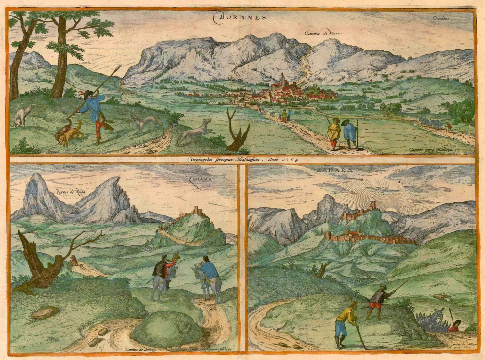
Bornnes [on sheet with] Zahara. 1596-1640
Bornes and Zahara, by Braun & Hogenberg.
[Item number: 21643]
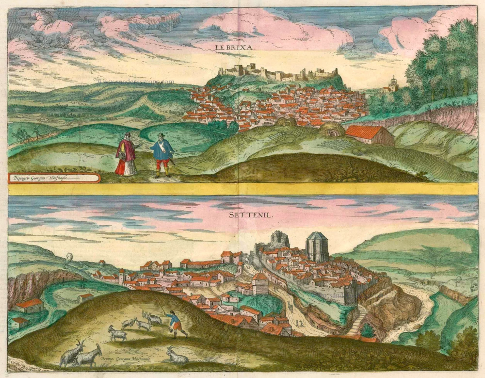
Le Brixa [on sheet with] Settenil. 1599
Lebrija & Settenil de las Bodegas by Braun & Hogenberg.
[Item number: 22188]

Bilvao. En, Spectator Benevole, Magnifica Hispaniae Civitas Bilbao ... 1576
Bilbao, by Georg Braun & Frans Hogenberg.
[Item number: 26703]