
Important map in excellent condition
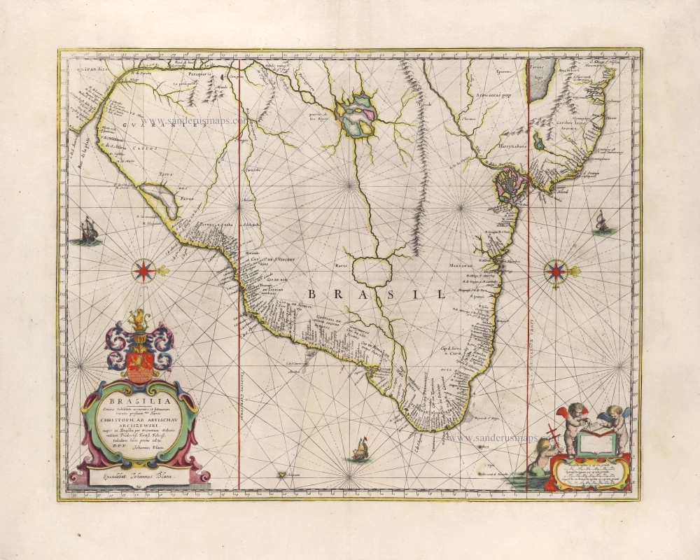
Brazil - Paraiba, by Joan Blaeu. 1663
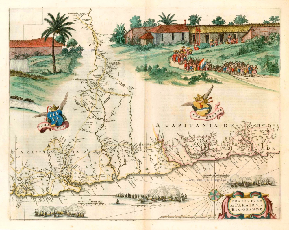
This map belongs to a set of maps which are the first maps of Brazil based on Dutch rather than Portuguese interests. Between 1630 and 1654, the Dutch occupied a large part of Brazil. In this period, the area was surveyed and mapped by cartographers Cornelis Goliath and Georg Marcgraf. The results were compiled in a decorative wall map in 1643. Joan Blaeu used the wall map as his source for these maps. They appeared first in Caspar Barlaeus' "Rerum per octennium in Brasilia et alibi nuper gestarum ...", a book published by J. Blaeu in 1647, which remained for over a century the best guide to north-eastern Brazil.
The map of Paraiba shows a scene of the Tupinamba village with a procession of native people carrying a Dutch flag.
The Blaeus: Willem Janszoon, Cornelis & Joan
Willem Jansz. Blaeu and his son Joan Blaeu are the most widely known cartographic publishers of the seventeenth century.
Willem Jansz. (also written Guilielmus Janssonius) = Willem Janszoon Blaeu, was born in Uitgeest (Netherlands), near Alkmaar in 1571. He studied mathematics under Tycho Brahe and learned the theory and practice of astronomical observations and the art of instrument- and globe making.
In 1596 he came to Amsterdam where he settled down as a globe-, instrument- and map-maker. He published his first cartographic work (a globe) in 1599 and probably published his first printed map (a map of the Netherlands) in 1604. He specialized in maritime cartography and published the first edition of the pilot guide Het Licht der Zeevaert in 1608, and was appointed Hydrographer of the V.O.C. (United East India Company) in 1633. After thirty years of publishing books, wall maps, globes, charts and pilot guides, he brought out his first atlas, Atlas Appendix (1630). This was the beginning of the great tradition of atlas-making by the Blaeus.
In 1618 another mapmaker, bookseller and publisher, Johannes Janssonius established himself in Amsterdam next door to Blaeu's shop. It is no wonder that these two neighbours, who began accusing each other of copying and stealing their information, became fierce competitors who did not have a good word to say about each other. In about 1621 Willem Jansz. decided to put an end to the confusion between his name and his competitor's, and assumed his grandfather's sobriquet, 'blauwe Willem' ('blue Willem'), as the family name; thereafter he called himself Willem Jansz. Blaeu.
Willem Janszoon Blaeu died in 1638, leaving his prospering business to his sons, Cornelis and Joan. Of Cornelis we only know that his name occurs in the prefaces of books and atlases until c. 1645.
Joan Blaeu, born in Amsterdam, 1596, became partner in his father’s book trade and printing business. In 1638 he was appointed his father’s successor in the Hydrographic office of the V.O.C. His efforts culminated in the magnificent Atlas Major and the town-books of the Netherlands and of Italy – works unsurpassed in history and in modern times, which gave eternal fame to the name of the Blaeus.
On February 23, 1672, a fire ruined the business. One year later, Dr. Joan Blaeu died. The fire of 1672 and the passing away of the director gave rise to a complete sale of the stock of the Blaeu House. Five public auctions dispersed the remaining books, atlases, copperplates, globes, etc., among many other map dealers and publishers in Amsterdam. The majority was acquired by a number of booksellers acting in partnership.
In the succeeding years, the remaining printing department was left in the hands of the Blaeu family until 1695 when also the inventory of the printing house was sold at a public auction. That meant the end of the Blaeus as a printing house of world renown.
Praefecturae de Paraiba, et Rio Grande.
Item Number: 25258 Authenticity Guarantee
Category: Antique maps > America > South America
Old, antique map of Brazil - Paraiba, by Joan Blaeu.
Oriented to the west.
Title: Praefecturae de Paraiba, et Rio Grande.
Oriented to the west.
Date of the first edition: 1662.
Date of this map: 1663.
Copper engraving, printed on paper.
Size (not including margins): 420 x 525mm (16.54 x 20.67 inches).
Verso: French text.
Condition: Contemporary old coloured, excellent.
Condition Rating: A+.
From: Le Grand Atlas, ou Cosmographie Blaviane, en laquelle est exactemant descritte la Terre, la Mer, et le Ciel. (Atlas Maior), J. Blaeu, 1663-67. (Van der Krogt 2, 611-2)
This map belongs to a set of maps which are the first maps of Brazil based on Dutch rather than Portuguese interests. Between 1630 and 1654, the Dutch occupied a large part of Brazil. In this period, the area was surveyed and mapped by cartographers Cornelis Goliath and Georg Marcgraf. The results were compiled in a decorative wall map in 1643. Joan Blaeu used the wall map as his source for these maps. They appeared first in Caspar Barlaeus' "Rerum per octennium in Brasilia et alibi nuper gestarum ...", a book published by J. Blaeu in 1647, which remained for over a century the best guide to north-eastern Brazil.
The map of Paraiba shows a scene of the Tupinamba village with a procession of native people carrying a Dutch flag.
The Blaeus: Willem Janszoon, Cornelis & Joan
Willem Jansz. Blaeu and his son Joan Blaeu are the most widely known cartographic publishers of the seventeenth century.
Willem Jansz. (also written Guilielmus Janssonius) = Willem Janszoon Blaeu, was born in Uitgeest (Netherlands), near Alkmaar in 1571. He studied mathematics under Tycho Brahe and learned the theory and practice of astronomical observations and the art of instrument- and globe making.
In 1596 he came to Amsterdam where he settled down as a globe-, instrument- and map-maker. He published his first cartographic work (a globe) in 1599 and probably published his first printed map (a map of the Netherlands) in 1604. He specialized in maritime cartography and published the first edition of the pilot guide Het Licht der Zeevaert in 1608, and was appointed Hydrographer of the V.O.C. (United East India Company) in 1633. After thirty years of publishing books, wall maps, globes, charts and pilot guides, he brought out his first atlas, Atlas Appendix (1630). This was the beginning of the great tradition of atlas-making by the Blaeus.
In 1618 another mapmaker, bookseller and publisher, Johannes Janssonius established himself in Amsterdam next door to Blaeu's shop. It is no wonder that these two neighbours, who began accusing each other of copying and stealing their information, became fierce competitors who did not have a good word to say about each other. In about 1621 Willem Jansz. decided to put an end to the confusion between his name and his competitor's, and assumed his grandfather's sobriquet, 'blauwe Willem' ('blue Willem'), as the family name; thereafter he called himself Willem Jansz. Blaeu.
Willem Janszoon Blaeu died in 1638, leaving his prospering business to his sons, Cornelis and Joan. Of Cornelis we only know that his name occurs in the prefaces of books and atlases until c. 1645.
Joan Blaeu, born in Amsterdam, 1596, became partner in his father’s book trade and printing business. In 1638 he was appointed his father’s successor in the Hydrographic office of the V.O.C. His efforts culminated in the magnificent Atlas Major and the town-books of the Netherlands and of Italy – works unsurpassed in history and in modern times, which gave eternal fame to the name of the Blaeus.
On February 23, 1672, a fire ruined the business. One year later, Dr. Joan Blaeu died. The fire of 1672 and the passing away of the director gave rise to a complete sale of the stock of the Blaeu House. Five public auctions dispersed the remaining books, atlases, copperplates, globes, etc., among many other map dealers and publishers in Amsterdam. The majority was acquired by a number of booksellers acting in partnership.
In the succeeding years, the remaining printing department was left in the hands of the Blaeu family until 1695 when also the inventory of the printing house was sold at a public auction. That meant the end of the Blaeus as a printing house of world renown.
Related items
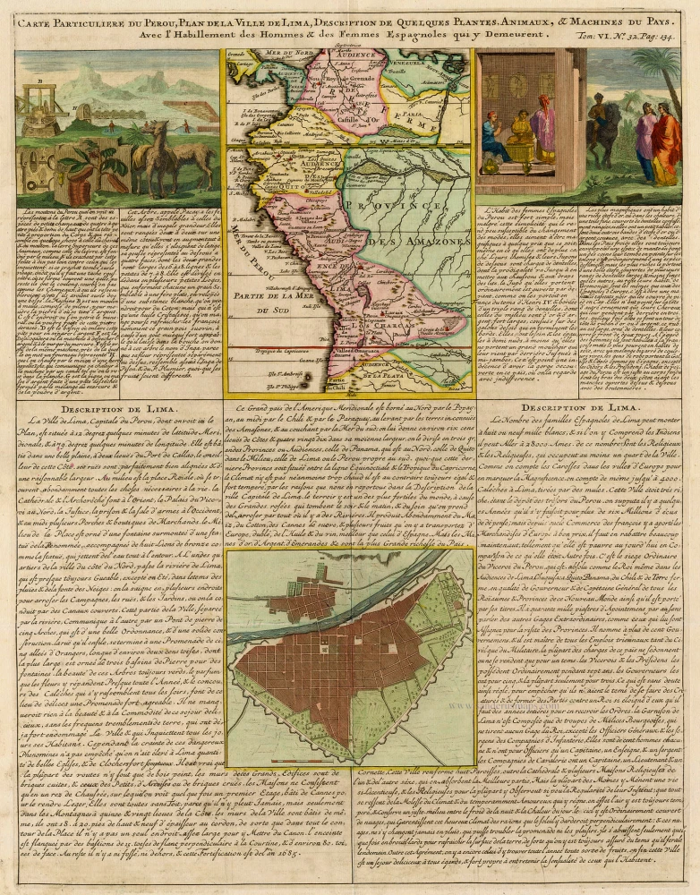
Carte Particuliere du Perou, de la Ville de Lima. 1713-1719
South America (Northwest), by Zacharias Châtelain.
[Item number: 16838]
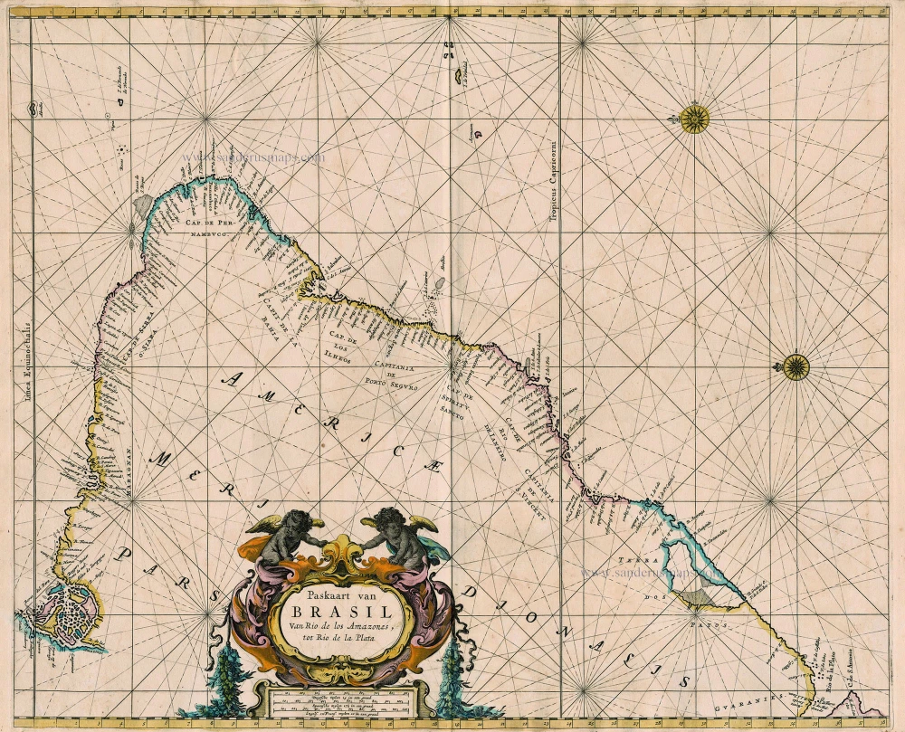
Paskaart van Brasil van Rio de los Amazones, tot Rio de la Plata 1667
Sea chart of Brazil, by Pieter Goos.
[Item number: 19066]
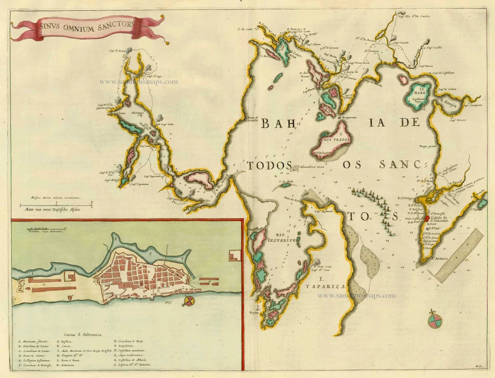
Sinus Omnium Sanctoru. 1664-65
Bahia de Todos los Sanctos, by J. Blaeu.
[Item number: 21226]
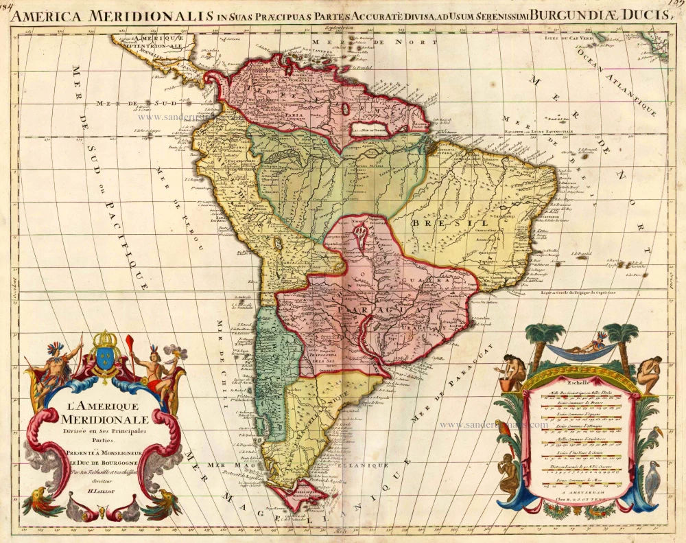
L'Amerique Meridionale Divisee en ses Principales Parties. 1756
South America, by Ottens R. & J.
[Item number: 23510]
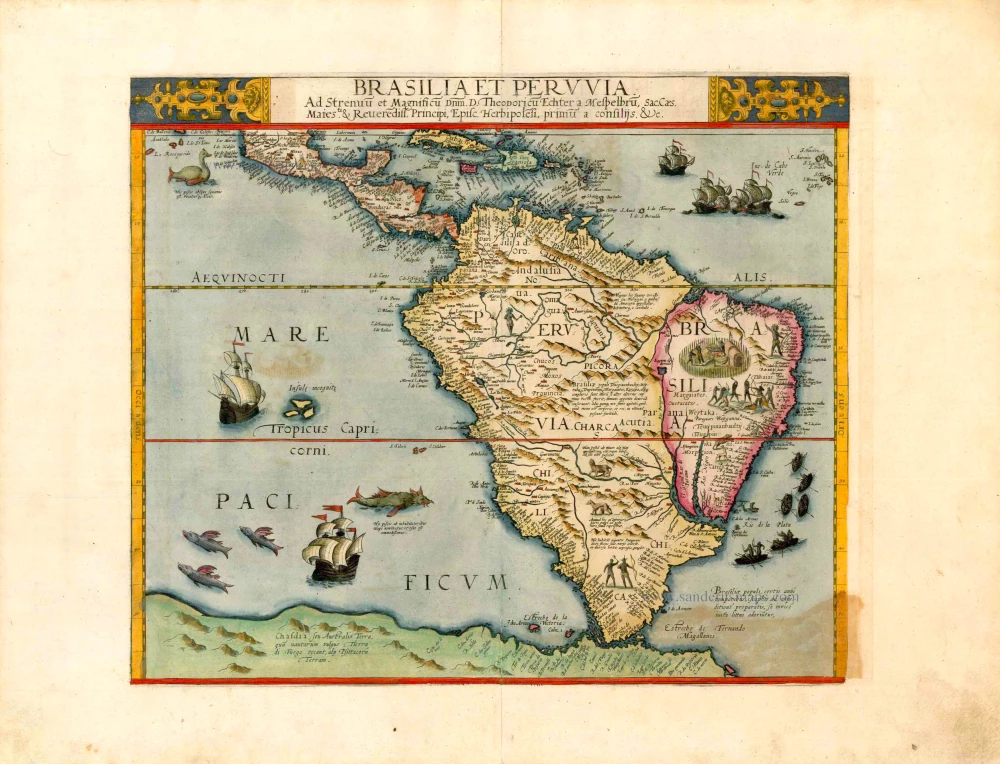
Important and rare map
Brasilia et Peruvia ... 1593
South America, by Cornelis de Jode.
[Item number: 25240]

Provincia de Brasil cum Adiacentibus Provinciis. 1630
Brazil, by Johannes de Laet.
[Item number: 25390]

Brasil. 1563
Brazil, by Ramusio G.B.
[Item number: 26186]
With cannibals
Brasilia. 1602
Brazil by Langenes, published by Bertius P.
[Item number: 26537]
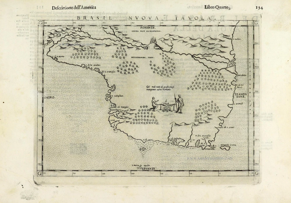
Brasil Nuova Tavola. 1598
Brazil by Girolamo Ruscelli.
[Item number: 28430]
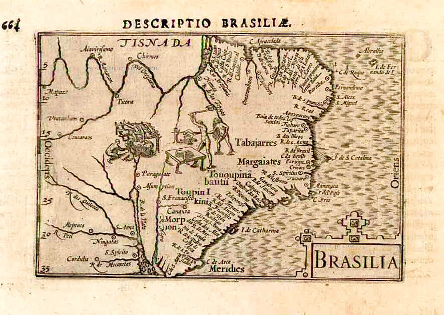
Brasilia. 1645
Brazil, by Joan Blaeu.
[Item number: 29707]
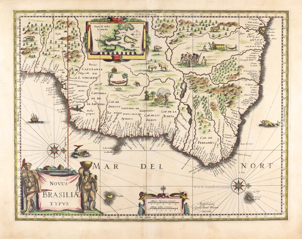
Novus Brasiliae Typus. c. 1640
Brazil, by Willem Blaeu.
[Item number: 29848]
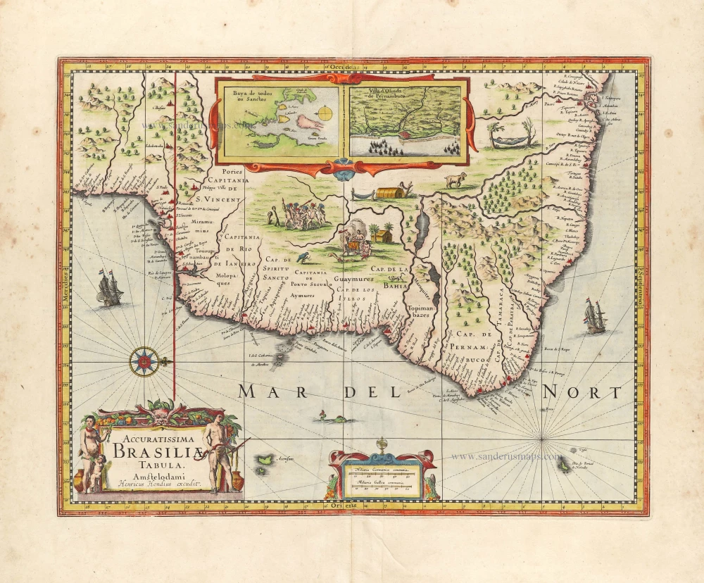
Accuratissima Brasiliae Tabula. 1638
Brazil by Henricus Hondius.
[Item number: 29851]
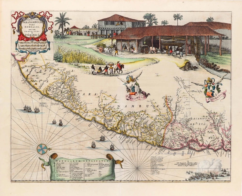
Praefecturae Paranambucae, pars Borealis, una cum Praefectura de Itâmarcâ. 1663
Brazil - Pernambuco (North) by Joan Blaeu.
[Item number: 30149]
Unrecorded view of Pernambuco (Brazil) by Carel Allard
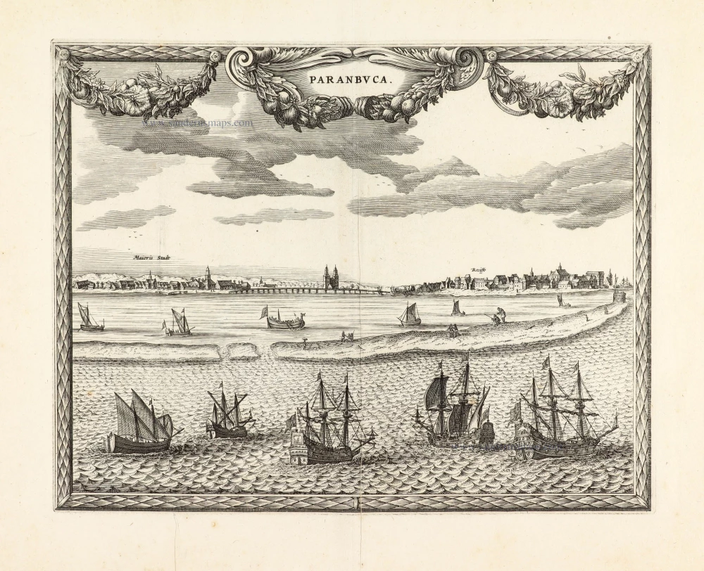
Paranbuca. 1673
View of Pernambuco (Brazil) by Carel Allard.
[Item number: 30558]
new