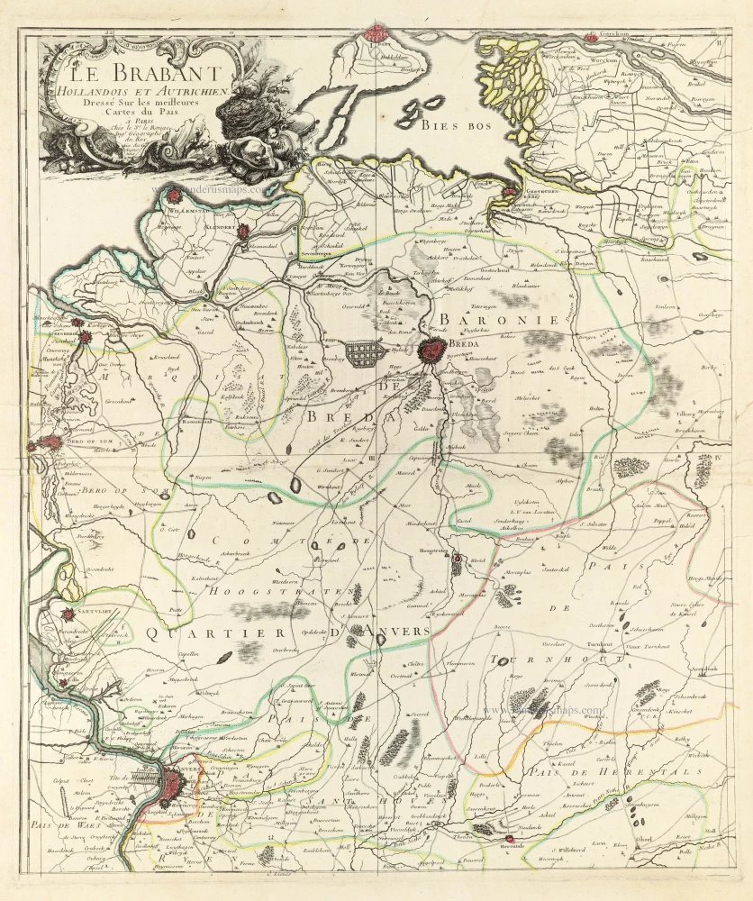
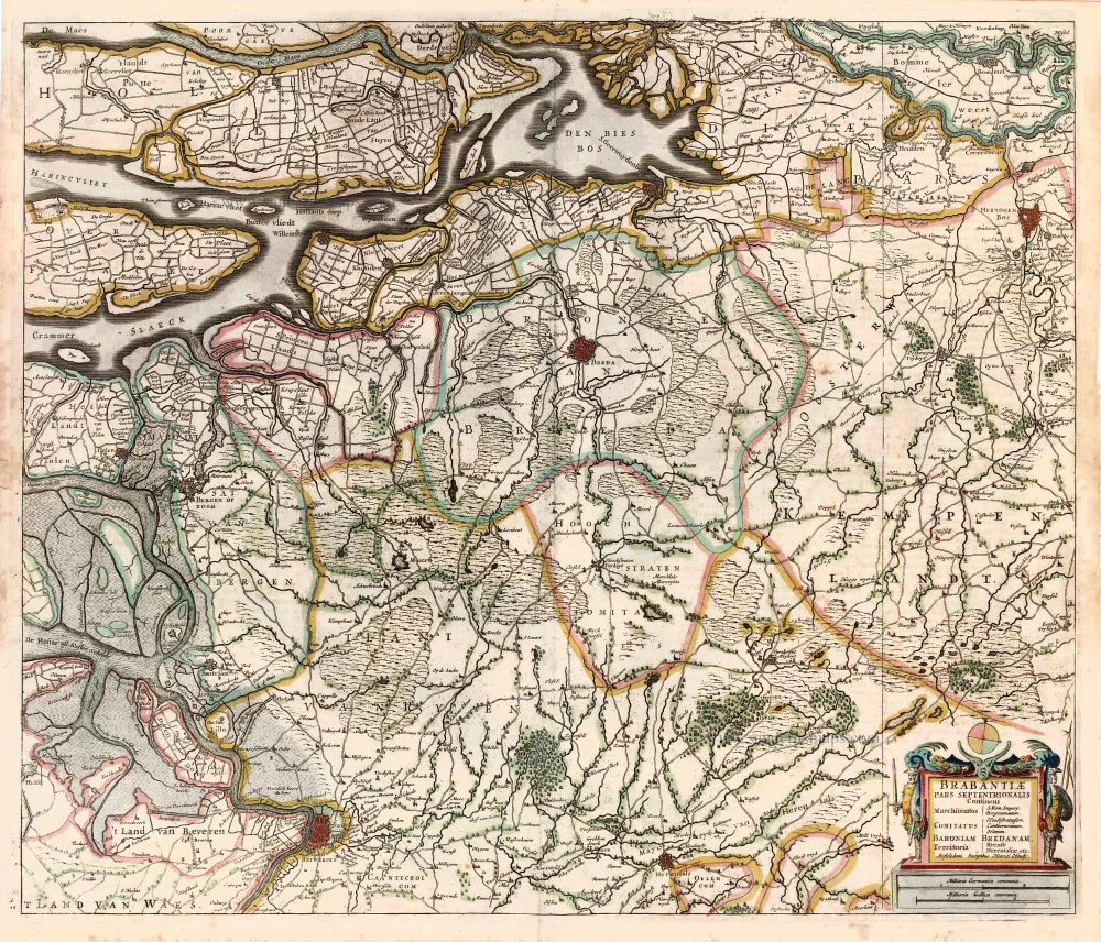
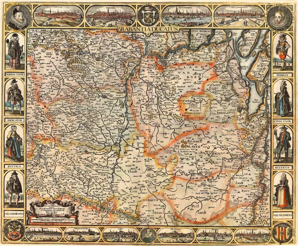
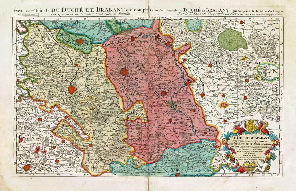
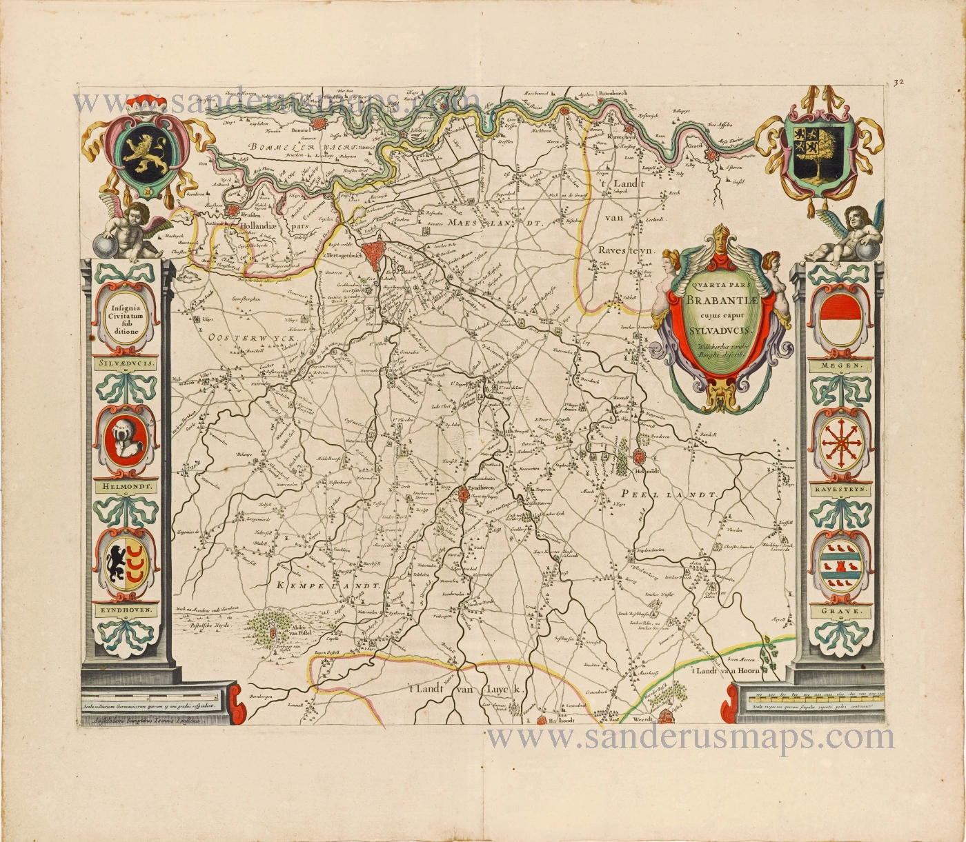
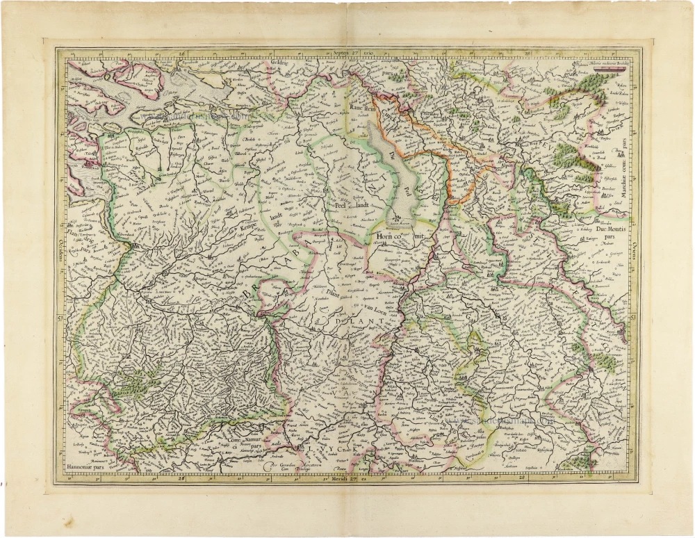
Northwest Brabant by G.L. Le Rouge. 1747
Georges-Louis Le Rouge (c.1712-c.1790)
Lieutenant in the regiment of Saxe before establishing himself as a publisher, compiler, and editor of maps at the 'rue des Grands Augustins vis à vis le Panier Fleuri', Paris, c. 1740. He later became 'Ingénieur Géographe du Roi'.
Le Brabant Hollandois et Autrichien.
Item Number: 30255 Authenticity Guarantee
Category: Antique maps > Europe > Belgium
Northwest Brabant by G.L. Le Rouge.
First sheet of a four-sheet wall map of Brabant, with the title of the map.
Title: Le Brabant Hollandois et Autrichien.
Dressé Sur les meilleures Cartes du Païs.
A Paris Chés le Sr. le Rouge Ingr. Géographe du Roy. rüe des Gde Augustins. 1747.
Date of the first edition: 1747.
Date of this map: 1747.
Copper engraving, printed on paper.
Image size: 600 x 505mm (23.62 x 19.88 inches).
Sheet size: 640 x 530mm (25.2 x 20.87 inches).
Verso: Blank.
Condition: Original coloured in outline, excellent.
Condition Rating: A+.
From: Separate publication.
Georges-Louis Le Rouge (c.1712-c.1790)
Lieutenant in the regiment of Saxe before establishing himself as a publisher, compiler, and editor of maps at the 'rue des Grands Augustins vis à vis le Panier Fleuri', Paris, c. 1740. He later became 'Ingénieur Géographe du Roi'.

