
First edition, woodcut
Brabant by Lodovico Guicciardini. 1567

Lodovico Guicciardini (1521-1589)
Lodovico Guicciardini, an Italian writer and merchant from Florence, arrived in Antwerp in 1541 and lived there until he died in 1589.
His best-known work, the Descrittione di tutti I Paesi Bassi, was published in 1567 by the Antwerp publisher Willem Silvius. It was an influential account of the history and arts of the Low Countries, accompanied by city maps by various leading engravers. It was a great success right from the start, and many editions, translations, extracts, and adaptations have been released to this day. Although he experienced relative prosperity during certain periods, he ended his life in poverty.
In the first edition of the three original Italian publications of the Descrittione, Guicciardini describes the happy and prosperous Netherlands before the uprising against Spain. Only in the third Italian edition of 1588, published by Plantijn in Antwerp, does he show how the state of the country has gradually changed as a result of the war. This was the last edition published in Antwerp. In 1589 both Plantin and Guicciardini died. It would take until 1609 before a new edition was published in the northern Netherlands.
As new editions appeared, the number of illustrations increased, and several prints were replaced by new ones. The first four editions were mainly provided with woodcuts, the majority of which concerned the Southern Netherlands. In the later editions, only copper plates were used for an increasing number of engravings of cities and regions of the entire Netherlands. The work appeared in folio, oblong and duodecimo editions.
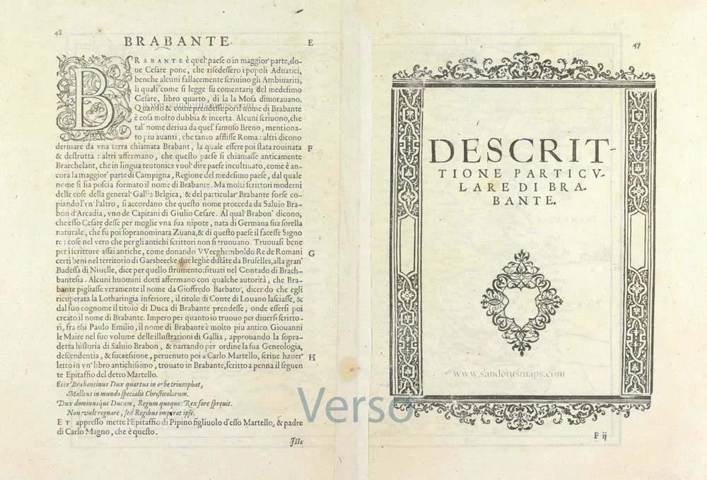
Descrittione particulare di Brabante.
Item Number: 29504 Authenticity Guarantee
Category: Antique maps > Europe > Belgium
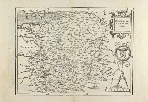
Old, antique map of Brabant by Lodovico Guicciardini.
Title: Descrittione particulare di Brabante.
Cartographer: J. van Deventer.
Date of the first edition: 1567.
Date of this map: 1567.
Woodcut, printed on paper.
Map size: 255 x 340mm (10.04 x 13.39 inches).
Sheet size: 305 x 445mm (12.01 x 17.52 inches).
Verso: Italian text.
Condition: Excellent.
Condition Rating: A+.
From: Guicciardini L., Descrittione di tutti i Paesi Bassi ... Antwerp, G. Silvius, 1567.
Lodovico Guicciardini (1521-1589)
Lodovico Guicciardini, an Italian writer and merchant from Florence, arrived in Antwerp in 1541 and lived there until he died in 1589.
His best-known work, the Descrittione di tutti I Paesi Bassi, was published in 1567 by the Antwerp publisher Willem Silvius. It was an influential account of the history and arts of the Low Countries, accompanied by city maps by various leading engravers. It was a great success right from the start, and many editions, translations, extracts, and adaptations have been released to this day. Although he experienced relative prosperity during certain periods, he ended his life in poverty.
In the first edition of the three original Italian publications of the Descrittione, Guicciardini describes the happy and prosperous Netherlands before the uprising against Spain. Only in the third Italian edition of 1588, published by Plantijn in Antwerp, does he show how the state of the country has gradually changed as a result of the war. This was the last edition published in Antwerp. In 1589 both Plantin and Guicciardini died. It would take until 1609 before a new edition was published in the northern Netherlands.
As new editions appeared, the number of illustrations increased, and several prints were replaced by new ones. The first four editions were mainly provided with woodcuts, the majority of which concerned the Southern Netherlands. In the later editions, only copper plates were used for an increasing number of engravings of cities and regions of the entire Netherlands. The work appeared in folio, oblong and duodecimo editions.
Related items
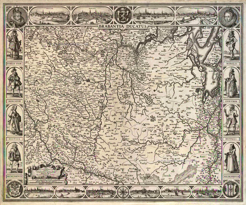
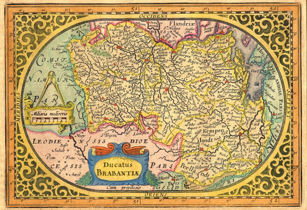
Brabantia Ducatus / Tabula Ducatus Brabantiae Continens Marchionatum Sacri Imperij et Dominium Mechliniense Magna cura edita à Nicolao Iohannis Visscher. Anno 1622. 1622
Brabant by C.J. Visscher.
[Item number: 2640]

Brabantiae Descriptio 1601
Brabant, with an inset map of the district of Mechelen, by Abraham Ortelius.
[Item number: 12909]
Ducatus Brabantiae. 1631
Brabant by Abraham Goos,published by Joannes Janssonius.
[Item number: 17723]

Novissima et Accuratissima Brabantiae Ducatus Tabula. 1638
Brabant by Henricus Hondius, published by J. Janssonius.
[Item number: 19012]

Brabantia Ducatus 1664-65
Brabant by Willem Blaeu
[Item number: 20955]

Brabantiae Belgarum provinciae recens exactaque descriptio. 1602
Brabant by M. Quad - J. Bussemacher.
[Item number: 25235]

Brabantiae Descriptio. 1595
Brabant, by A. Ortelius.
[Item number: 25573]

Important and rare map.
Brabantiae Belgarum Provinciae Recens Exactaque Descriptio. 1558
Brabant, by Michele Tramezini.
[Item number: 26713]

Brabantiae Germaniae Inferioris Nobilissimmae Provinciae Descriptio. 1572
Brabant by Abraham Ortelius
[Item number: 26734]
Rare!
Brabantia Ducatus / Tabula Ducatus Brabantiae Continens Marchionatum Sacri Imperij et Dominium Mechliniense - Magna Cura edita à Petri Verbist Anno 1628. 1628
Brabant by Pieter Verbiest
[Item number: 27743]

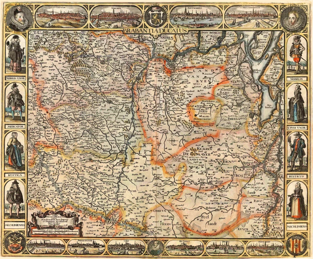
Brabantia Ducatus Machliniae Urbis Dominium. 1617
The Duchy of Brabant by Pieter van den Keere (Petrus Kaerius).
[Item number: 28672]
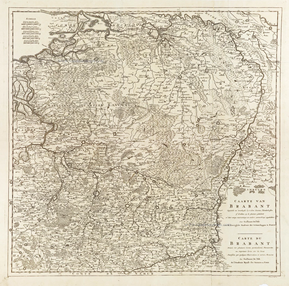
Caarte van Brabant - Carte du Brabant. 1729
Brabant, by Guillaume De L'Isle, published by J. Dumont.
[Item number: 29338]

Le Brabant Hollandois et Autrichien. 1747
Northwest Brabant by G.L. Le Rouge.
[Item number: 30255]
Very rare first state.
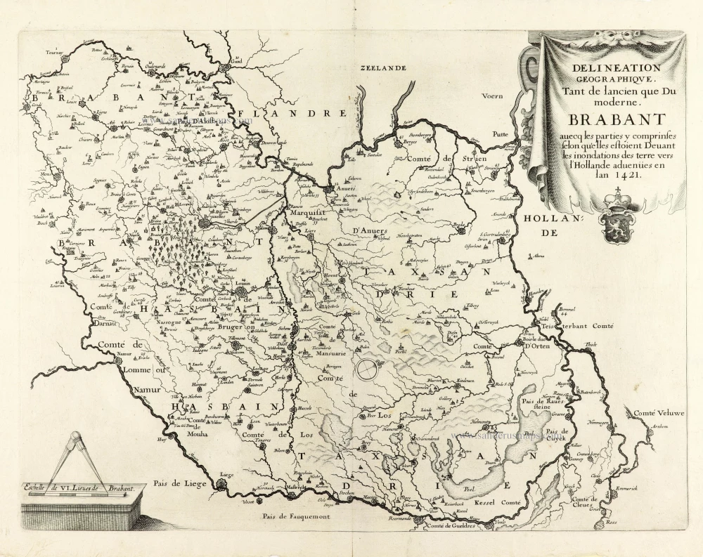
Delineation Geographique. Tant de lancien que Du moderne. Brabant avecq les parties y comprinses selon qu'elles estoient Devant les inondations des terre vers l'Hollande advenües en lan 1421. 1637
Historical map of Brabant by Christophe Butkens.
[Item number: 30291]

Partie Septentrionale du Duché de Brabant où se trouvent les Mairies de Bosleduc de Turnhout, de Santhoven, d'Herentals, les Marquisats de Berg-op-Zoom, et du St Empire, la Baronie de Bréda partie de la Seigneurie de Malines, et de l'Evêché de Lyége &c. 1757
Southern Brabant par Robert de Vaugondy.
[Item number: 30403]

Menapii. Dioecese de l'Archev[es]ché de Malines. Partie meridionale du Duché de Brabant, ou sont les quartiers de Louvain, et du Brusselles; et la seign[eu]rie de Malines. 1679-1710
Historical map of Southern Brabant, by Guillaume Sanson, published by P. Mariette.
[Item number: 30520]

Tabula Ducatus Brabantiae continens Marchionatum Sacri Imperiii et Dominium Mechliniense 1670-71
Brabant by Frederick De Wit.
[Item number: 30526]

Early map of the Low Countries, 1561-1574
Fiandra, Brabantia, et Holanda Nuova. 1574
Low Countries by Girolamo Ruscelli.
[Item number: 31083]

Brabantia. 1618
Brabant by Petrus Bertius, published by Jodocus Hondius II.
[Item number: 31591]

Le Duché de Brabant qui comprend les quartiers de Louvan, Brusselles, Anvers et Bos le Duc 1692
Northern Brabant, by N. Sanson, so-called published by Hubert Jaillot. (Pirated edition by Pierre Mortier).
[Item number: 31721]

Carte de Brabant. 1633
Brabant by Chistophe Tassin.
[Item number: 31930]

Ducatus Brabantiae Nova Tabula in qua Lovanii Bruxxellarum March S. Imperii Sylvae Ducis et Mechliniae Dominia in sua suasq. minores Ditiones subdivisa ostenduntur. c. 1720
Brabant, by J.B. Homann.
[Item number: 32467]

Ducatus Brabantiae Tabula continens Sacri Imperii Marchionatum et Dominium Mechliniense de novo accurate emendata. c. 1704-1706
Brabant by Johannes Danckerts.
[Item number: 32498]