
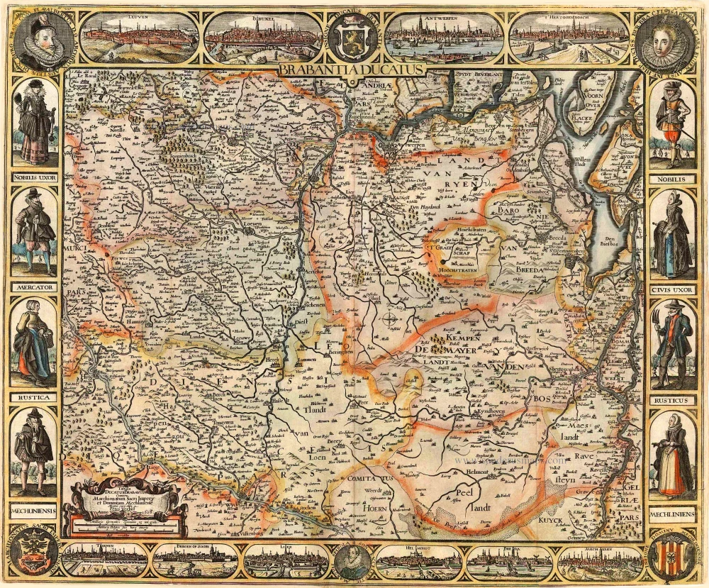
Historical map of Southern Brabant, by Guillaume Sanson, published by P. Mariette. 1679-1710

SANSON FAMILY
Nicolas Sanson (1600-1667) - Guillaume Sanson (1633-1703) - Pierre Moullart-Sanson (? -1730)
Originally from Abbeville, Nicolas I Sanson showed a keen interest in historical geography. He was still very young; he published a map of ancient Gaul and two treatises, Britannia and Portus Itius on Abbeville and Boulogne's origins. His meeting with Melchior Tavernier was decisive: it prompted him to give up his duties as a military engineer in Picardy and devote himself to engraved cartography.
At the same time, Sanson had drawn up the outline of modern France. He got the help of Tavernier, who encouraged him to compete with the Dutch map publishers. Tavernier contacted other French cartographers whose works he published.
From 1643, N. Sanson obtained a privilege to publish a work personally, the Princes souverains de l'Italie. Then, in 1644 and 1645, he had his famous geographical tables printed, which significantly contributed to his fame. He also published a series of atlases in quarto of the four continents.
In 1648, N. Sanson associated himself with Mariette to publish atlases. From then on, specific maps bore his name and others Mariette's. N. Sanson and Mariette worked together for more than 20 years. After the death of N. Sanson, Mariette acquired the entire fund. Since Mariette only wanted to publish complete atlases, individual maps were no longer sold, and some army generals complained to the king.
The disagreement between the Sanson family and Pierre II Mariette culminated in 1671 when Guillaume Sanson took the case to court. There was no longer any question of collaboration: Guillaume Sanson started working for another publisher, Alexis-Hubert Jaillot.
The Sanson family faced financial difficulties, and in 1692, their cousin, Pierre Moullart-Sanson, bought the entire geographic fund from his uncles and aunt. Pierre Moullart-Sanson was the son of Françoise Sanson (third child of Nicolas) and Pierre Moullart. He restarted the publishing of Sanson's world atlas, and in 1704 he acquired a privilege for publishing all the works of Nicolas and Guillaume Sanson, which continued to be published until 1730.
Pierre Mariette (1602-1658)
Bookseller, printseller, printer, and publisher, located in the Rue Saint-Jacques in Paris. On February 12, 1644, Pierre Mariette acquired most of Melchior Tavernier's fund. In 1646, he had a series of maps by Blaeu copied and asked Abraham Peyrounin to engrave them. In the meantime, he published the works of Nicolas Sanson. In 1650, he published the atlas Théâtre Géographique de France. A second edition followed in 1653. He later contributed to Sanson's atlas, the Cartes générales de toutes les parties du monde. Many maps of Mariette's Théatre appeared in later editions of Sanson's Cartes générales.
Menapii. Dioecese de l'Archev[es]ché de Malines. Partie meridionale du Duché de Brabant, ou sont les quartiers de Louvain, et du Brusselles; et la seign[eu]rie de Malines.
Item Number: 30520 Authenticity Guarantee
Category: Antique maps > Europe > Belgium
Historical map of Southern Brabant, by Guillaume Sanson, published by P. Mariette.
Title: Menapii. Dioecese de l'Archev[es]ché de Malines. Partie meridionale du Duché de Brabant, ou sont les quartiers de Louvain, et du Brusselles; et la seign[eu]rie de Malines.
Par N. Sanson d'Abbe[ville] Geogr[aphe] ord[inaire] d[e] S[a] M[ajesté].
Avec Privilege pour Vingt Ans.
A Paris Chez P. Mariette 1677.
Date of the first edition: 1677.
Date of this map: 1679-1710.
Date on map: 1677.
Copper engraving, printed on paper.
Image size: 370 x 550mm (14.57 x 21.65 inches).
Sheet size: 450 x 590mm (17.72 x 23.23 inches).
Verso: Blank.
Condition: Original coloured in outline, excellent.
Condition Rating: A+.
From: Composite Sanson Atlas. Paris, 1679-1710.
SANSON FAMILY
Nicolas Sanson (1600-1667) - Guillaume Sanson (1633-1703) - Pierre Moullart-Sanson (? -1730)
Originally from Abbeville, Nicolas I Sanson showed a keen interest in historical geography. He was still very young; he published a map of ancient Gaul and two treatises, Britannia and Portus Itius on Abbeville and Boulogne's origins. His meeting with Melchior Tavernier was decisive: it prompted him to give up his duties as a military engineer in Picardy and devote himself to engraved cartography.
At the same time, Sanson had drawn up the outline of modern France. He got the help of Tavernier, who encouraged him to compete with the Dutch map publishers. Tavernier contacted other French cartographers whose works he published.
From 1643, N. Sanson obtained a privilege to publish a work personally, the Princes souverains de l'Italie. Then, in 1644 and 1645, he had his famous geographical tables printed, which significantly contributed to his fame. He also published a series of atlases in quarto of the four continents.
In 1648, N. Sanson associated himself with Mariette to publish atlases. From then on, specific maps bore his name and others Mariette's. N. Sanson and Mariette worked together for more than 20 years. After the death of N. Sanson, Mariette acquired the entire fund. Since Mariette only wanted to publish complete atlases, individual maps were no longer sold, and some army generals complained to the king.
The disagreement between the Sanson family and Pierre II Mariette culminated in 1671 when Guillaume Sanson took the case to court. There was no longer any question of collaboration: Guillaume Sanson started working for another publisher, Alexis-Hubert Jaillot.
The Sanson family faced financial difficulties, and in 1692, their cousin, Pierre Moullart-Sanson, bought the entire geographic fund from his uncles and aunt. Pierre Moullart-Sanson was the son of Françoise Sanson (third child of Nicolas) and Pierre Moullart. He restarted the publishing of Sanson's world atlas, and in 1704 he acquired a privilege for publishing all the works of Nicolas and Guillaume Sanson, which continued to be published until 1730.
Pierre Mariette (1602-1658)
Bookseller, printseller, printer, and publisher, located in the Rue Saint-Jacques in Paris. On February 12, 1644, Pierre Mariette acquired most of Melchior Tavernier's fund. In 1646, he had a series of maps by Blaeu copied and asked Abraham Peyrounin to engrave them. In the meantime, he published the works of Nicolas Sanson. In 1650, he published the atlas Théâtre Géographique de France. A second edition followed in 1653. He later contributed to Sanson's atlas, the Cartes générales de toutes les parties du monde. Many maps of Mariette's Théatre appeared in later editions of Sanson's Cartes générales.
Related items
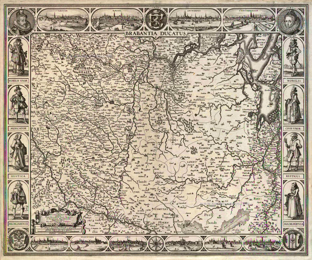
Brabantia Ducatus / Tabula Ducatus Brabantiae Continens Marchionatum Sacri Imperij et Dominium Mechliniense Magna cura edita à Nicolao Iohannis Visscher. Anno 1622. 1622
Brabant by C.J. Visscher.
[Item number: 2640]

Brabantiae Descriptio 1601
Brabant, with an inset map of the district of Mechelen, by Abraham Ortelius.
[Item number: 12909]
Ducatus Brabantiae. 1631
Brabant by Abraham Goos,published by Joannes Janssonius.
[Item number: 17723]

Novissima et Accuratissima Brabantiae Ducatus Tabula. 1638
Brabant by Henricus Hondius, published by J. Janssonius.
[Item number: 19012]

Brabantiae Descriptio. 1595
Brabant, by A. Ortelius.
[Item number: 25573]
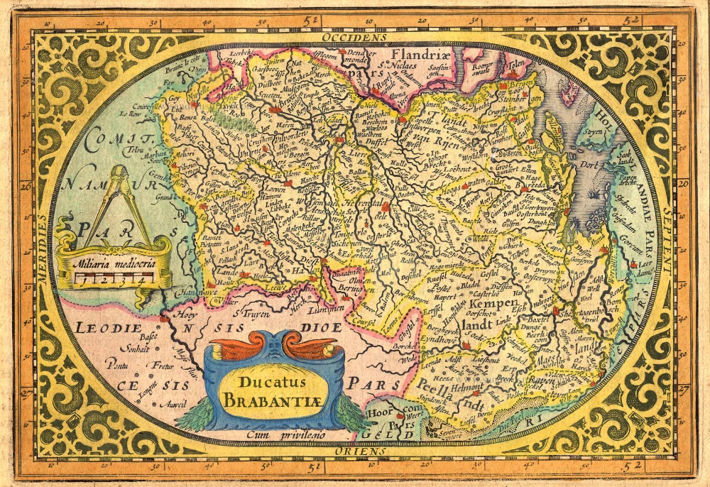
Pars Meridionalis Brabantiae continens Dominium Mechliniense Ducatum Arschotanum. 1641
Southern Brabant by Henricus Hondius.
[Item number: 26303]

Important and rare map.
Brabantiae Belgarum Provinciae Recens Exactaque Descriptio. 1558
Brabant, by Michele Tramezini.
[Item number: 26713]

Brabantiae Germaniae Inferioris Nobilissimmae Provinciae Descriptio. 1572
Brabant by Abraham Ortelius
[Item number: 26734]
Rare!
Brabantia Ducatus / Tabula Ducatus Brabantiae Continens Marchionatum Sacri Imperij et Dominium Mechliniense - Magna Cura edita à Petri Verbist Anno 1628. 1628
Brabant by Pieter Verbiest
[Item number: 27743]

Brabantia Ducatus Machliniae Urbis Dominium. 1617
The Duchy of Brabant by Pieter van den Keere (Petrus Kaerius).
[Item number: 28672]
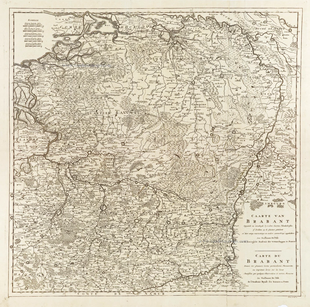
Caarte van Brabant - Carte du Brabant. 1729
Brabant, by Guillaume De L'Isle, published by J. Dumont.
[Item number: 29338]

First edition, woodcut
Descrittione particulare di Brabante. 1567
Brabant by Lodovico Guicciardini.
[Item number: 29504]

Forêt de Soignes - Zoniën Woud by Willem Blaeu.
Secunda Pars Brabantiae cuius urbs primaria Bruxellae. 1643
Southern Brabant (Brussels) by Willem Blaeu.
[Item number: 29930]
Very rare first state.
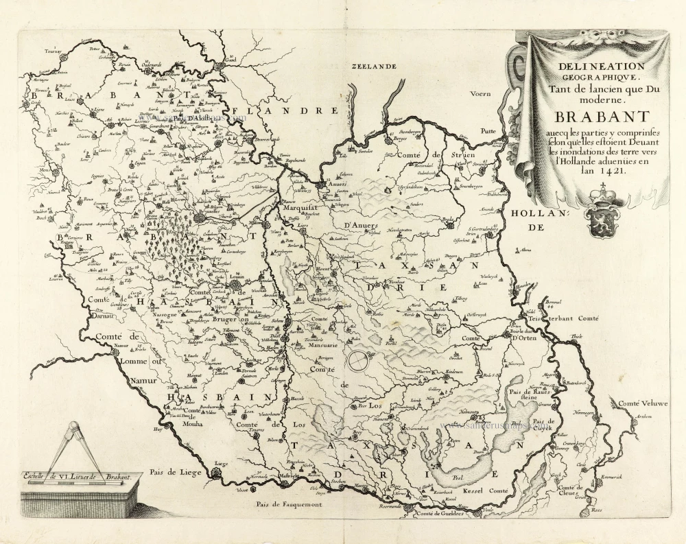
Delineation Geographique. Tant de lancien que Du moderne. Brabant avecq les parties y comprinses selon qu'elles estoient Devant les inondations des terre vers l'Hollande advenües en lan 1421. 1637
Historical map of Brabant by Christophe Butkens.
[Item number: 30291]

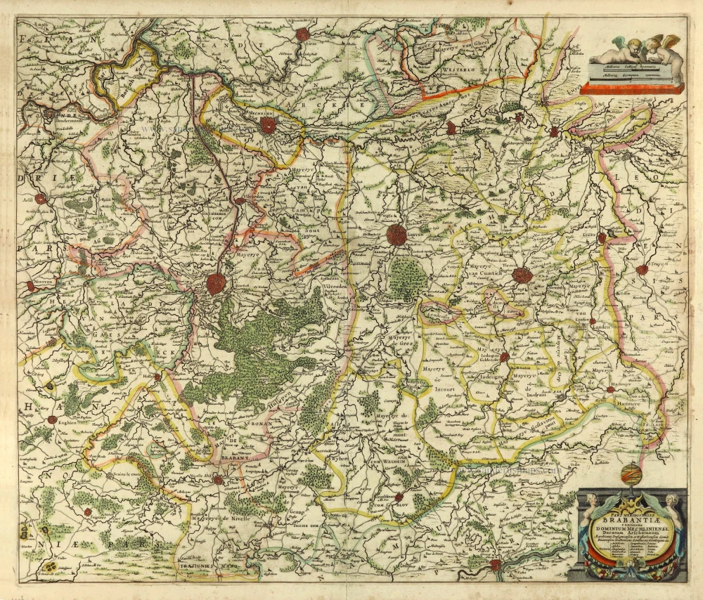
Partie Septentrionale du Duché de Brabant où se trouvent les Mairies de Bosleduc de Turnhout, de Santhoven, d'Herentals, les Marquisats de Berg-op-Zoom, et du St Empire, la Baronie de Bréda partie de la Seigneurie de Malines, et de l'Evêché de Lyége &c. 1757
Southern Brabant par Robert de Vaugondy.
[Item number: 30403]

Tabula Ducatus Brabantiae continens Marchionatum Sacri Imperiii et Dominium Mechliniense 1670-71
Brabant by Frederick De Wit.
[Item number: 30526]

[No Title] 1630
Brabant by Gerard Mercator.
[Item number: 30943]

Prima Pars Brabantiae cuius caput Lovanium. 1635
Leuven by Willem Blaeu.
[Item number: 31046]