This product is successfully added to your cart
Questions about this product? (#31083)

Authenticity Guarantee
All items are guaranteed authentic prints (woodcuts or engravings) or manuscripts made at or about (c.) the given date and in good condition unless stated otherwise. We don’t sell facsimiles or reproductions. We deliver every map with a Certificate of Authenticity containing all the details.

Low Countries by Girolamo Ruscelli. 1574

Girolamo Ruscelli (1504 (1518?) -1566)

Girolamo Ruscelli was an Italian mathematician and cartographer who worked in Venice in the early 16th century. He was also an alchemist who wrote pseudonymously as Alessio Piemontese.
He published a translation of the Geografia of Ptolemy, printed in Venice by Vincenzo Valgrisi in 1561. It was a quarto edition with Ptolemaic and modern maps. The engravers may have been the brothers Giulio and Livio Sanuto. Among the 69 copperplate maps were 40 based on maps by Giacomo Gastaldi. The maps were re-issued in 1562, 1564, 1574 and 1598.

back

Fiandra, Brabantia, et Holanda Nuova.

€350  ($367.5 / £290.5)
add to cart
Buy now
questions?
PRINT

Item Number:  31083  new Authenticity Guarantee

Category:  Antique maps > Europe > Belgium

Low Countries by Girolamo Ruscelli.

Title: Fiandra, Brabantia, et Holanda Nuova.

Cartographer: G. Gastaldi - C. Ptolemy.

Date of the first edition: 1561.
Date of this map: 1574.

Copper engraving, printed on paper.
Image size: 190 x 250mm (7.48 x 9.84 inches).
Sheet size: 205 x 280mm (8.07 x 11.02 inches).
Verso: Italian text.
Condition: Excellent.
Condition Rating: A+.

From: La Geografia di Claudio Tolomeo Alessandrino, Nuovamente tradotta di Greco in Italiano da Girolamo Ruscelli. Venice, Vincenzo Valgrisi, 1574. (Karrow, p. 222 30/C.1)

Girolamo Ruscelli (1504 (1518?) -1566)

Girolamo Ruscelli was an Italian mathematician and cartographer who worked in Venice in the early 16th century. He was also an alchemist who wrote pseudonymously as Alessio Piemontese.
He published a translation of the Geografia of Ptolemy, printed in Venice by Vincenzo Valgrisi in 1561. It was a quarto edition with Ptolemaic and modern maps. The engravers may have been the brothers Giulio and Livio Sanuto. Among the 69 copperplate maps were 40 based on maps by Giacomo Gastaldi. The maps were re-issued in 1562, 1564, 1574 and 1598.
References: Van der Heijden (Netherlands) - #8.c, 1st state.; Spikmans (17 Prov.) - p. 101, #3.1

Related items

Holland, by Camocio G.F. - Forlani P.

Rare and important map!
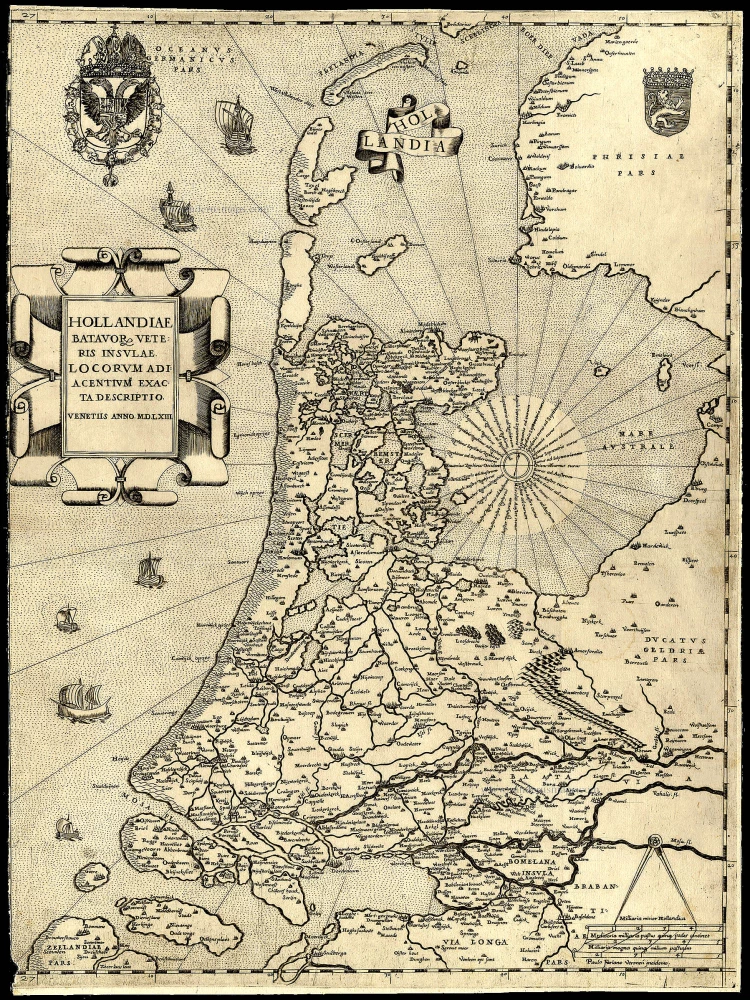
Hollandiae Batavor Veteris Insulae Locorum Adiacentium Exacta Descriptio. 1563
Holland, by Camocio G.F. - Forlani P.
[Item number: 9232]

€6000  ($6300 / £4980)
Flanders (Vlaanderen) by Lodovico Guicciardini.

Flandria. 1612
Flanders (Vlaanderen) by Lodovico Guicciardini.
[Item number: 18166]

€290  ($304.5 / £240.7)
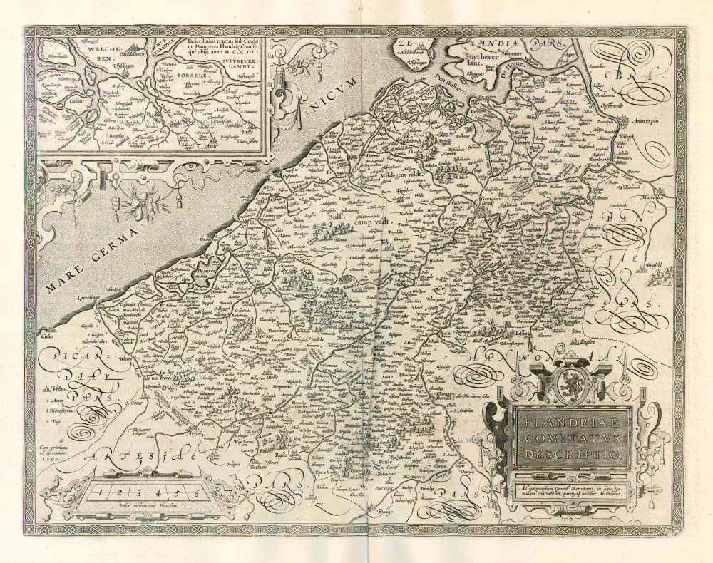
Flanders (Vlaanderen), by A. Ortelius.

Flandriae Comitatus Descriptio. 1598
Flanders (Vlaanderen), by A. Ortelius.
[Item number: 22821]

€900  ($945 / £747)
Flanders (Vlaanderen) by Abraham Ortelius.

Flandriae Comitatus Descriptio. 1612
Flanders (Vlaanderen) by Abraham Ortelius.
[Item number: 22978]

€680  ($714 / £564.4)
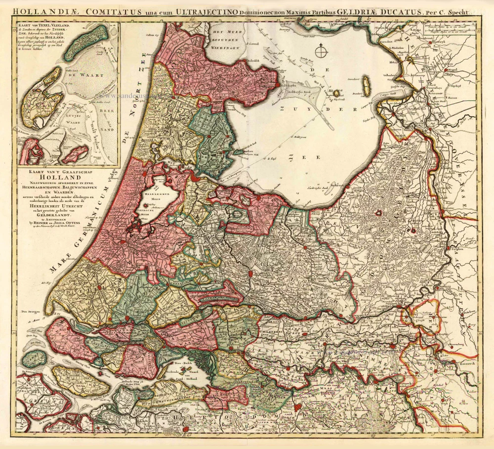
Holland by C. Specht, published by R. & J. Ottens.

Kaart van 't Graafschap Holland Naauwkeurig Afgedeelt in zyne Heemraadschappen, Baljuwschappen en Waarden, 1730-45
Holland by C. Specht, published by R. & J. Ottens.
[Item number: 25706]

€780  ($819 / £647.4)
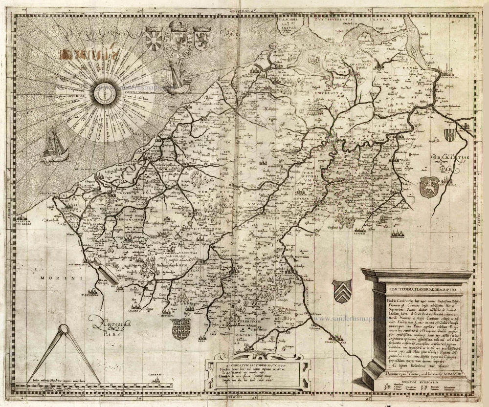
Flanders (Vlaanderen) by Domenico Zenoi.

Exactissima Flandriae descriptio. Flandria, Caroli V. Aug. Imp. max. natione illustrissima, Belgice provinciae est . . . . Ad signum Bibliothecae Diui Marci. Dominicus Zenoi Venetus excidebat. Venetijs M.D.M.VIIII. 1559
Flanders (Vlaanderen) by Domenico Zenoi.
[Item number: 25774]

€3900  ($4095 / £3237)
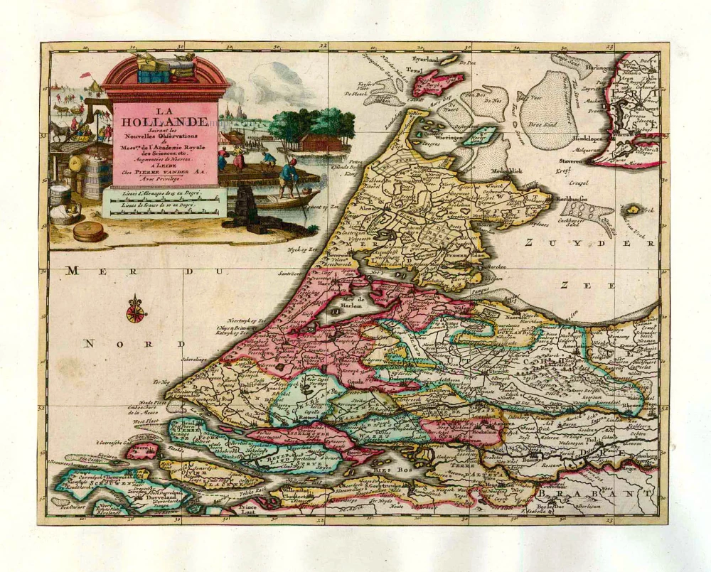
Holland by Pieter Van der Aa.

La Hollande. 1713
Holland by Pieter Van der Aa.
[Item number: 26059]

€370  ($388.5 / £307.1)
Holland, by Lodovico Guicciardini.

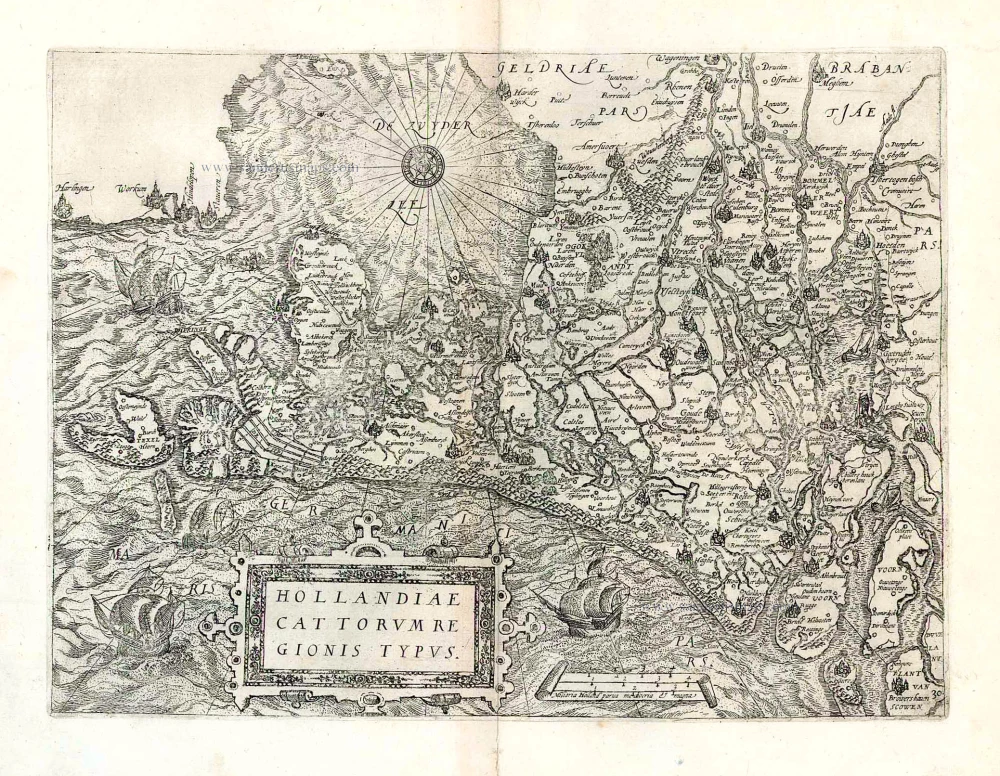
Hollandiae Cattorum Regionis Typus. 1588
Holland, by Lodovico Guicciardini.
[Item number: 26656]

€370  ($388.5 / £307.1)
North West Flanders, by Willem & Joan Blaeu.

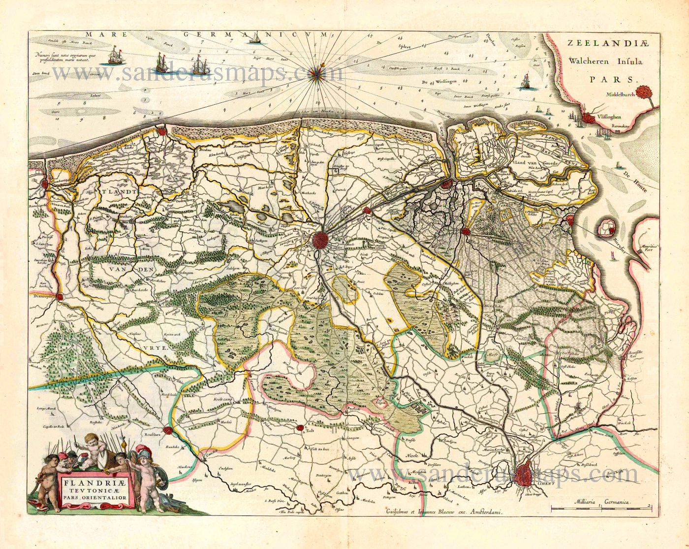
Flandriae Teutonicae Pars Orientalior. 1643
North West Flanders, by Willem & Joan Blaeu.
[Item number: 27403]

€400  ($420 / £332)
Holland by Sebastian Münster.

Very early Holland map.
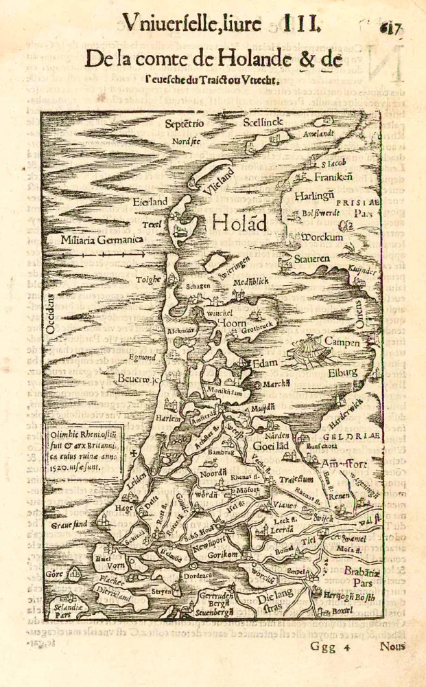
Hola(n)d. 1552
Holland by Sebastian Münster.
[Item number: 27467]

€250  ($262.5 / £207.5)
Lucas Janszoon Waghenaer, Zeeland and Flanders.

Rare and important sea chart.
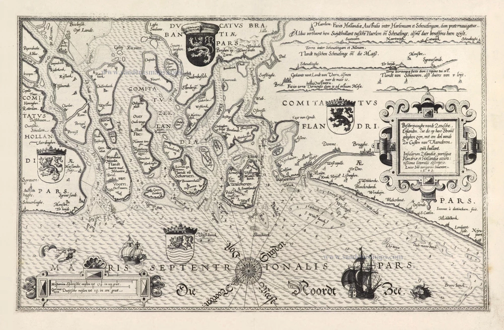
Beschrijvinghe vande Zeeusche Eijlanden Soe die op hare Strome geleghen zijn, met een deel vande Zee Custen van Vlaenderen enn Hollant. - Insularum Zelandiae, partisque Flandriae et Hollandiae accuratißima littoralis descriptio. 1586
Lucas Janszoon Waghenaer, Zeeland and Flanders.
[Item number: 28469]

€4200  ($4410 / £3486)
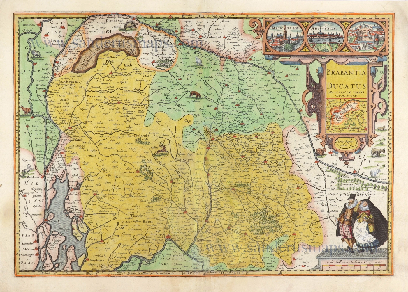
The Duchy of Brabant by Pieter van den Keere (Petrus Kaerius).

Brabantia Ducatus Machliniae Urbis Dominium. 1617
The Duchy of Brabant by Pieter van den Keere (Petrus Kaerius).
[Item number: 28672]

€1400  ($1470 / £1162)
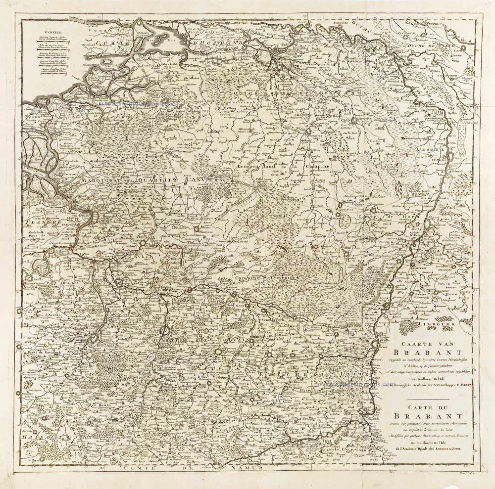
Brabant, by Guillaume De L'Isle, published by J. Dumont.

Caarte van Brabant - Carte du Brabant. 1729
Brabant, by Guillaume De L'Isle, published by J. Dumont.
[Item number: 29338]

€340  ($357 / £282.2)
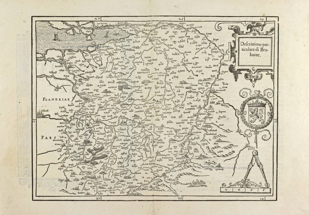
Brabant by Lodovico Guicciardini.

First edition, woodcut
Descrittione particulare di Brabante. 1567
Brabant by Lodovico Guicciardini.
[Item number: 29504]

€360  ($378 / £298.8)
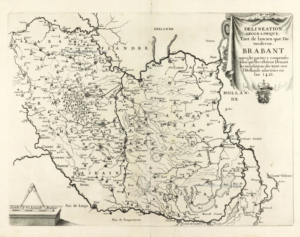
Historical map of Brabant by Christophe Butkens.

Very rare first state.
Delineation Geographique. Tant de lancien que Du moderne. Brabant avecq les parties y comprinses selon qu'elles estoient Devant les inondations des terre vers l'Hollande advenües en lan 1421. 1637
Historical map of Brabant by Christophe Butkens.
[Item number: 30291]

€650  ($682.5 / £539.5)
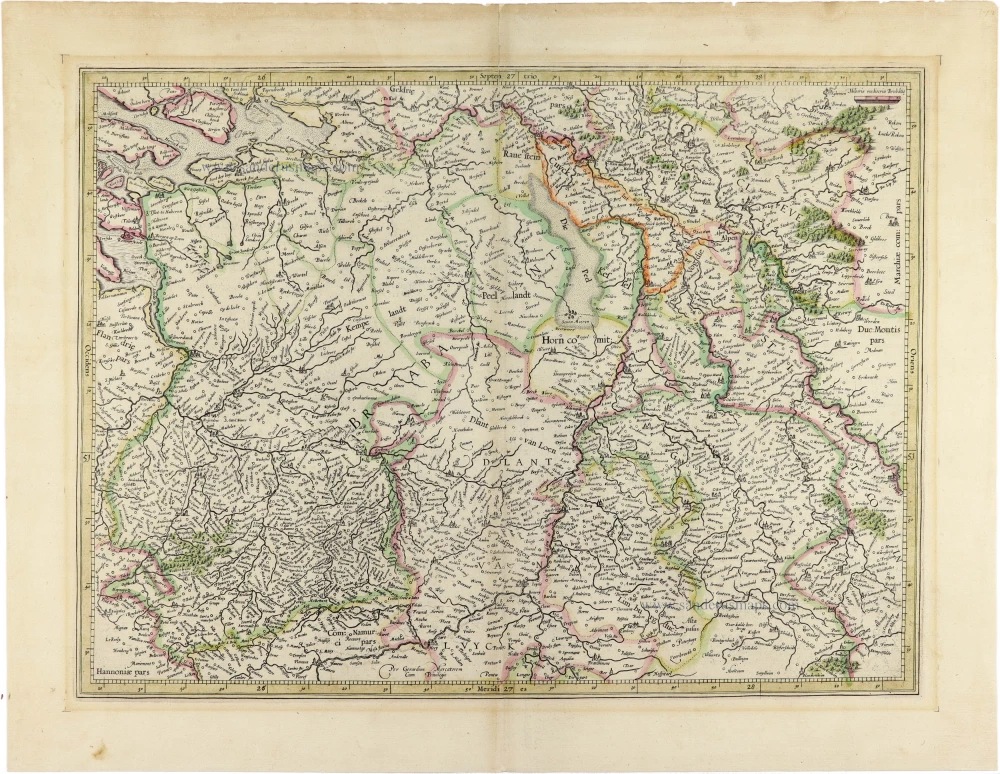
Brabant by Gerard Mercator.

[No Title] 1630
Brabant by Gerard Mercator.
[Item number: 30943]

€300  ($315 / £249)