
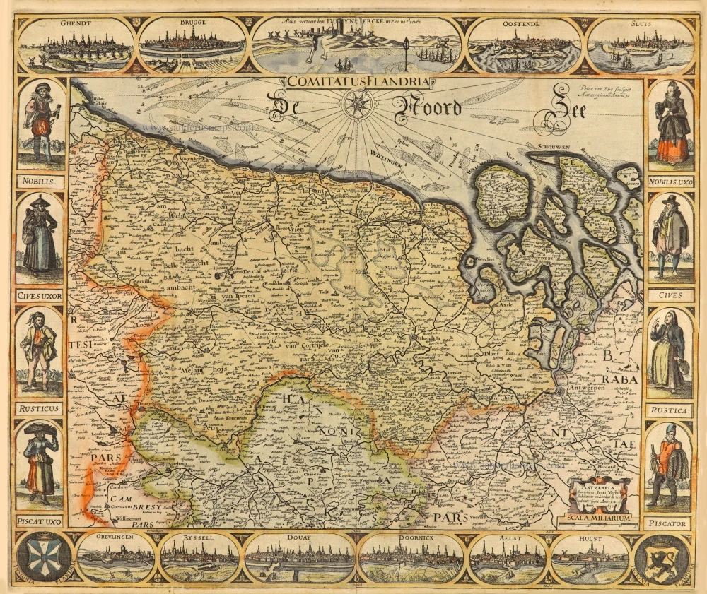
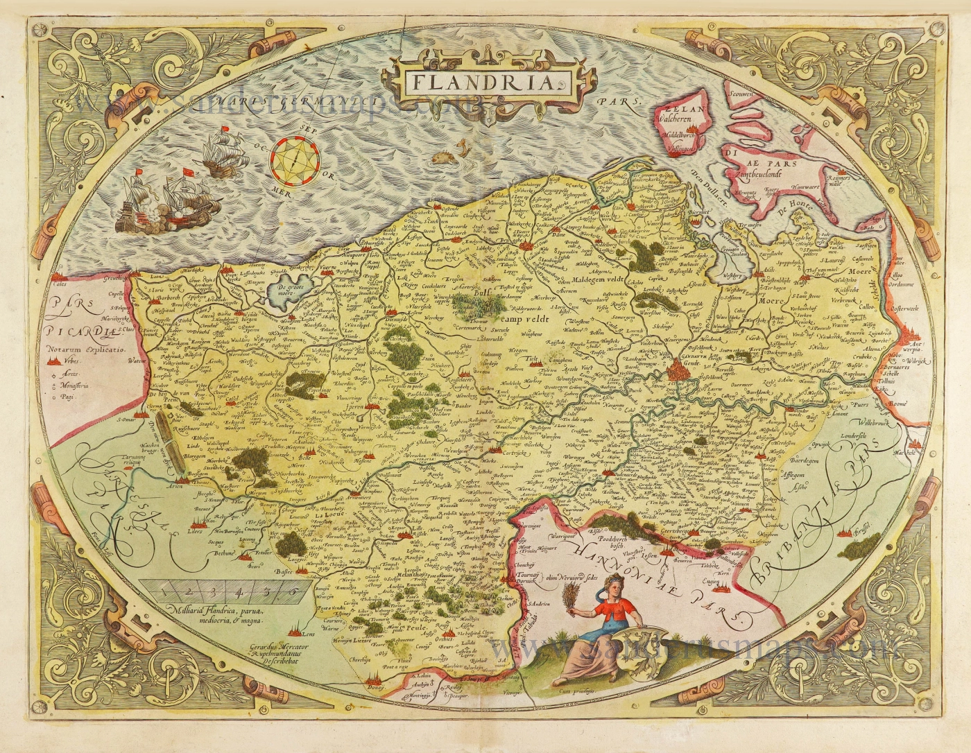
Vlaanderen by C.J. Visscher. 1630
The most beautiful 17th-century map of Flanders, with four decorative borders.
This map is a derivate of a map published by van Langren in 1595 and is the second state to include decorative borders. Visscher changed the map very effectively, giving it a completely new look. Decorative borders with town views, portraits and costumed figures were placed at the top and on both sides. To accomplish this, he removed strips of the old map image and both old title cartouches, freeing space for the decorations. There was no space for a decorative border along the lower edge; the decorations were engraved on a small separate copper plate.
Mostly, the bottom border of this scarce map is not present.
The Visscher Family
For nearly a century, the members of the Visscher family were essential art dealers and map publishers in Amsterdam.
Claes Jansz. Visscher, or N.J. Piscator (1587-1652)
Claes Jansz. Vischer bought a house in Amsterdam, 'de gulden Bors', on the crucial Kalverstraat and changed the name into "In de Visscher"; under this title, the shop was to flourish for many years.
He was famous for his engravings and etchings of Dutch landscapes and 'historical scenes', such as sieges, battles, etc. These 'historical scenes' were considered contemporary illustrated news items, especially e.g. that of 'the Eighty Years' War'.
For the publication of his first atlas, he bought copperplates of the atlas Germania Inferior by Pieter van den Keere (1623).
In 1649, he published an atlas entitled Tabularum Geographicarum Contractarum, containing the same maps as Langenes' Caert Thresoor, for which Visscher had only new title pages engraved.
Claes Jansz. Visscher died in 1652. His wife, Neeltjen Florisdr., had already died in 1640. They had seven children, four of whom were still alive at Claes Jansz.'s death. One was Nicolaes Visscher I, who was to continue his father's business.
Nicolaes Visscher I (1618-1679)
Nicolaes Visscher I partnered with his father, continued the business, and stayed on the Kalverstraat 'in de Visscher' till his death.
In about 1657, the first edition of his Atlas Contractus Orbis Terrarum appeared.
Between 1664 and 1677, several editions of his Atlas Contractus appeared without a printed index, for these atlases had no fixed contents but were composed according to the buyer's financial leaping pole.
In May 1664, Nicolaes Visscher was admitted as a member of the Booksellers' Guild of his town. In July 1677, he was granted a patent of the States of Holland and West-Friesland for printing and publishing maps and atlases for 15 years.
After this, he again published an Atlas Contractus with a printed index. At about the same time, he also brought out an Atlas Minor.
Nicolaes Visscher II (1649-1702)
Nicolaes Visscher II inherited the 'shop' from his father. To obtain a new privilege, he applied to the States of Holland and West-Friesland in 1682 for a patent for printing and publishing maps. This patent was granted to him the same year. He moved the firm to the Dam, but it kept the same signboard: "In de Visscher".
Around 1683, he published his first Atlas Minor with a printed index of 91 maps. In 1684, an atlas Germania Inferior appeared. Till 1697, he published another number of atlases. He used his grandfather's (Claes Jansz.) maps less often now and relied more and more on his own.
The wars waged at this time initiated the compilation of maps of the countries where the armies operated. Many war maps were included in the various editions of his Atlas Minor.
After Nicolaes's death, his wife, Elizabeth Verseyl, published all the war maps as an atlas under the title De Stoel des Oorlogs in de Wereld (The seat of war in the world).
The widow of Nicolaes Visscher II (?-1726)
His widow continued the business energetically, and by her hand, under the name of her deceased husband, numerous atlases appeared, e.g., several editions of the Atlas Minor, an Atlas Maior and De Stoel des Oorlogs. The shop enjoyed a high reputation due to the assortment's incredible variety. Not only 'Visscher' maps but also maps of other publishers were obtainable. With the death of Elizabeth Verseyl in 1726, the last descendant died of a great map- and atlas-publishing firm in Amsterdam.
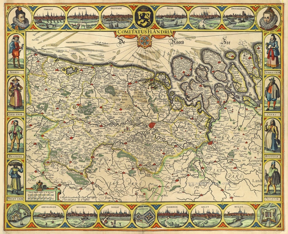
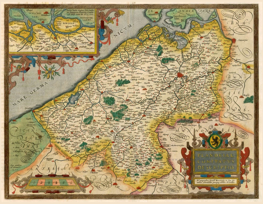
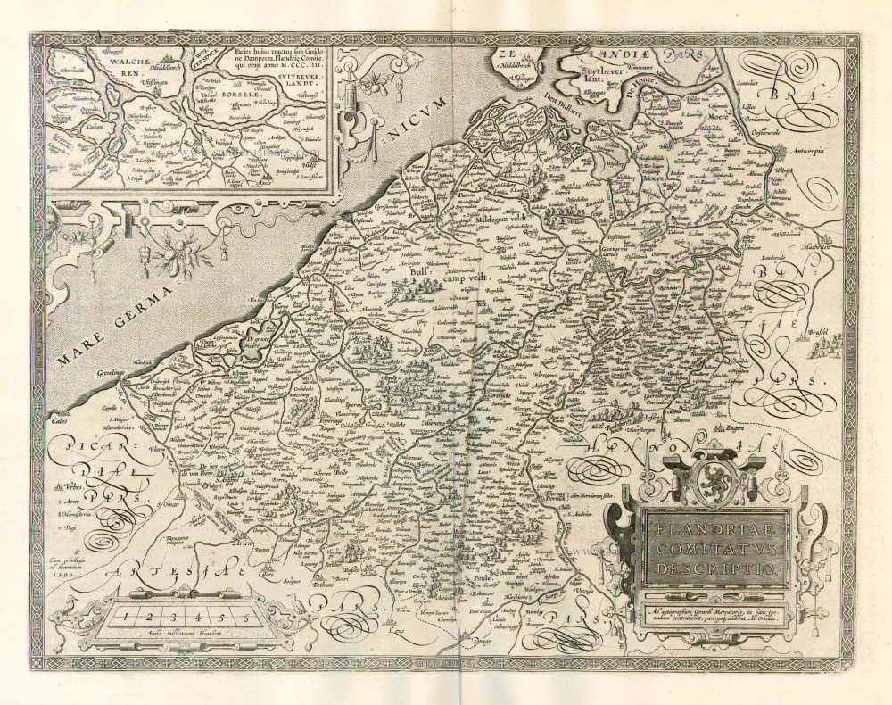
Comitatus Flandriae.
Item Number: 28465 Authenticity Guarantee
Category: Antique maps > Europe > Belgium
Old, antique map of Vlaanderen, by Visscher C.J..
Title: Comitatus Flandriae.
t' Amsterdam gedruckt bij Claes Janß Visscher inde Calverstraet in de Visscher.
Date of the first edition with decorative borders: 1621.
Date of this map: 1630.
Copper engraving, printed on paper.
Map size: 455 x 560mm (17.91 x 22.05 inches).
Sheet size: 465 x 585mm (18.31 x 23.03 inches).
Condition: Original coloured, new side margins.
Condition Rating: A.
References: Schilder 6, 61.6 - 6th state; Baynton-Williams New Worlds, p.53
From: Atlantis Maioris Appendix. Amsterdam, J. Janssonius, 1630.
The most beautiful 17th-century map of Flanders, with four decorative borders.
This map is a derivate of a map published by van Langren in 1595 and is the second state to include decorative borders. Visscher changed the map very effectively, giving it a completely new look. Decorative borders with town views, portraits and costumed figures were placed at the top and on both sides. To accomplish this, he removed strips of the old map image and both old title cartouches, freeing space for the decorations. There was no space for a decorative border along the lower edge; the decorations were engraved on a small separate copper plate.
Mostly, the bottom border of this scarce map is not present.
The Visscher Family
For nearly a century, the members of the Visscher family were essential art dealers and map publishers in Amsterdam.
Claes Jansz. Visscher, or N.J. Piscator (1587-1652)
Claes Jansz. Vischer bought a house in Amsterdam, 'de gulden Bors', on the crucial Kalverstraat and changed the name into "In de Visscher"; under this title, the shop was to flourish for many years.
He was famous for his engravings and etchings of Dutch landscapes and 'historical scenes', such as sieges, battles, etc. These 'historical scenes' were considered contemporary illustrated news items, especially e.g. that of 'the Eighty Years' War'.
For the publication of his first atlas, he bought copperplates of the atlas Germania Inferior by Pieter van den Keere (1623).
In 1649, he published an atlas entitled Tabularum Geographicarum Contractarum, containing the same maps as Langenes' Caert Thresoor, for which Visscher had only new title pages engraved.
Claes Jansz. Visscher died in 1652. His wife, Neeltjen Florisdr., had already died in 1640. They had seven children, four of whom were still alive at Claes Jansz.'s death. One was Nicolaes Visscher I, who was to continue his father's business.
Nicolaes Visscher I (1618-1679)
Nicolaes Visscher I partnered with his father, continued the business, and stayed on the Kalverstraat 'in de Visscher' till his death.
In about 1657, the first edition of his Atlas Contractus Orbis Terrarum appeared.
Between 1664 and 1677, several editions of his Atlas Contractus appeared without a printed index, for these atlases had no fixed contents but were composed according to the buyer's financial leaping pole.
In May 1664, Nicolaes Visscher was admitted as a member of the Booksellers' Guild of his town. In July 1677, he was granted a patent of the States of Holland and West-Friesland for printing and publishing maps and atlases for 15 years.
After this, he again published an Atlas Contractus with a printed index. At about the same time, he also brought out an Atlas Minor.
Nicolaes Visscher II (1649-1702)
Nicolaes Visscher II inherited the 'shop' from his father. To obtain a new privilege, he applied to the States of Holland and West-Friesland in 1682 for a patent for printing and publishing maps. This patent was granted to him the same year. He moved the firm to the Dam, but it kept the same signboard: "In de Visscher".
Around 1683, he published his first Atlas Minor with a printed index of 91 maps. In 1684, an atlas Germania Inferior appeared. Till 1697, he published another number of atlases. He used his grandfather's (Claes Jansz.) maps less often now and relied more and more on his own.
The wars waged at this time initiated the compilation of maps of the countries where the armies operated. Many war maps were included in the various editions of his Atlas Minor.
After Nicolaes's death, his wife, Elizabeth Verseyl, published all the war maps as an atlas under the title De Stoel des Oorlogs in de Wereld (The seat of war in the world).
The widow of Nicolaes Visscher II (?-1726)
His widow continued the business energetically, and by her hand, under the name of her deceased husband, numerous atlases appeared, e.g., several editions of the Atlas Minor, an Atlas Maior and De Stoel des Oorlogs. The shop enjoyed a high reputation due to the assortment's incredible variety. Not only 'Visscher' maps but also maps of other publishers were obtainable. With the death of Elizabeth Verseyl in 1726, the last descendant died of a great map- and atlas-publishing firm in Amsterdam.
Related items
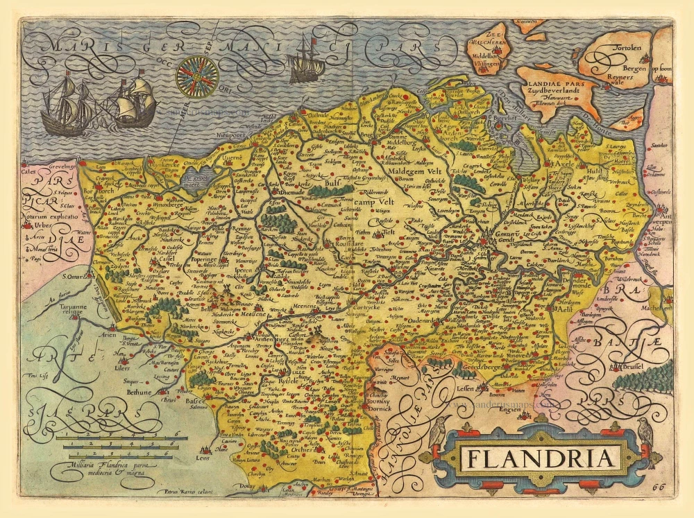
Flandria. 1612
Flanders (Vlaanderen) by Lodovico Guicciardini.
[Item number: 18166]
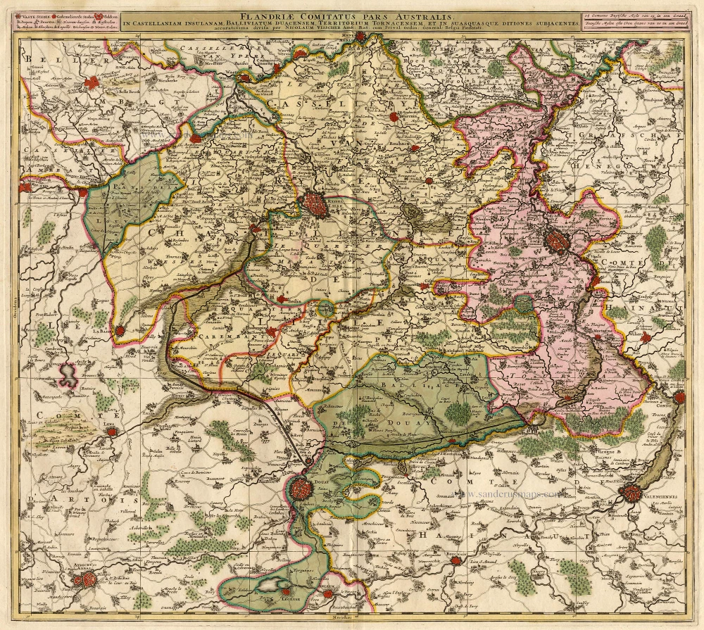
Flandriae Comitatus Pars Australis. 1683-1696
Vlaanderen - Flandres, by Visscher N.
[Item number: 18686]
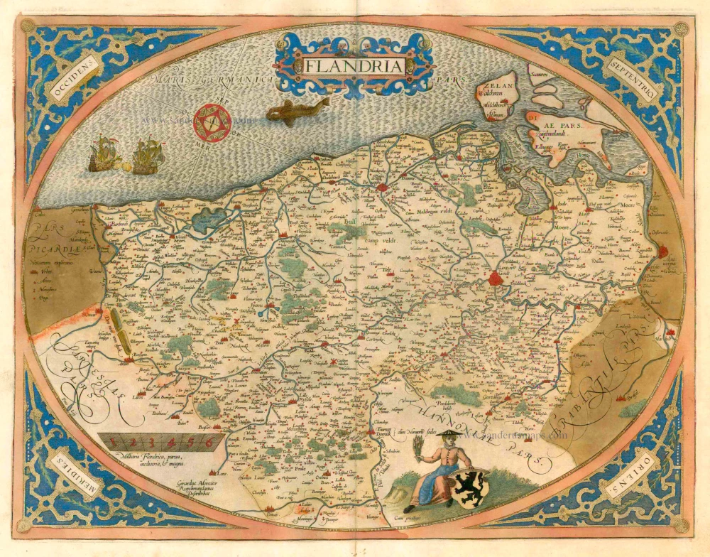
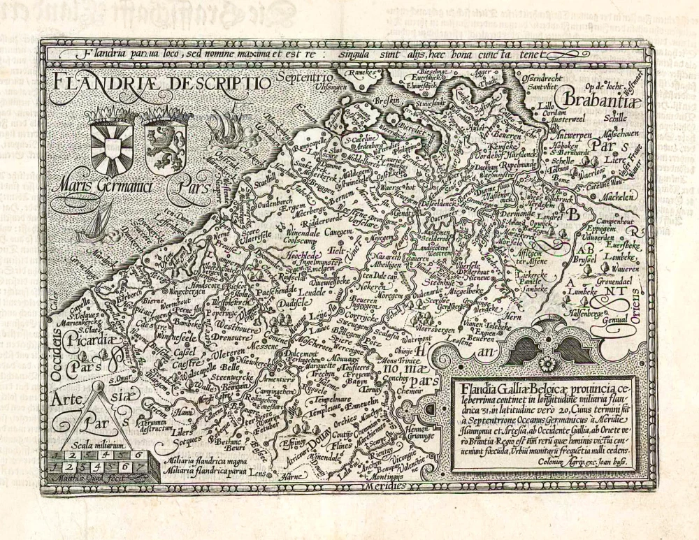
Flandria. 1579
Flanders (Vlaanderen), by Abraham Ortelius.
[Item number: 22228]
Flandriae Comitatus Descriptio. 1598
Flanders (Vlaanderen), by A. Ortelius.
[Item number: 22821]
Flandriae Comitatus Descriptio. 1612
Flanders (Vlaanderen) by Abraham Ortelius.
[Item number: 22978]
Exactissima Flandriae descriptio. Flandria, Caroli V. Aug. Imp. max. natione illustrissima, Belgice provinciae est . . . . Ad signum Bibliothecae Diui Marci. Dominicus Zenoi Venetus excidebat. Venetijs M.D.M.VIIII. 1559
Flanders (Vlaanderen) by Domenico Zenoi.
[Item number: 25774]
Comitatus Flandria. 1637
Flanders (Vlaanderen), by Pieter Verbiest.
[Item number: 27128]

Flandria et Zeelandia Comitatus. 1640-43
Flanders (Vlaanderen) and Zeeland, by Willem Blaeu.
[Item number: 27409]
Flandriae Descriptio. 1600
Flanders (Vlaanderen) by Quad M.-Bussemacher J.
[Item number: 27470]
Rare.
Comitatus Flandria. 1630
Vlaanderen (Flanders), by Pieter Verbiest.
[Item number: 28002]
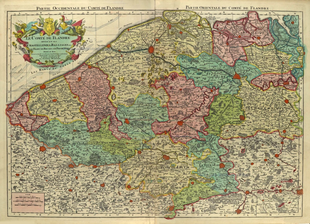
Le Comté de Flandre divisé en ses Chastellenies, et Balliages, &c. Le Franc de Bruges et Le Pays de Waes. c. 1705
Flanders (Vlaanderen), by Pieter Mortier.
[Item number: 28129]
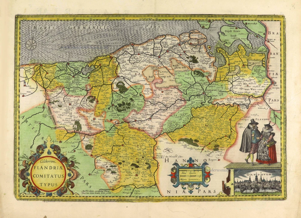
Celeberrimi Flandriae Comitatus Typus. 1617
Flanders (Vlaanderen) by Petrus Kaerius (Pieter Van den Keere).
[Item number: 28453]
First state.
Flandria. 1575.
Flanders (Vlaanderen) by Abraham Ortelius.
[Item number: 28673]
Flandriae Comitatus Accuratissima Descriptio. c. 1658
Flanders (Vlaanderen) by Nicolaas Visscher I.
[Item number: 29980]
Rare
Exactissima Flandriae Descriptio. 1593
Flanders (Vlaanderen), by Gerard de Jode.
[Item number: 30309]
Comitatus Flandriae Universe in Ditiones Peculiares Distinctae. 1730-45
Flanders (Vlaanderen) by Ottens R. & J.
[Item number: 30524]