
VERY RARE FIRST STATE - only a few copies known
Double hemisphere world map by Jodocus Hondius, published by Melchior Tavernier. c. 1630-1650
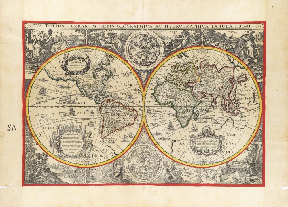
This is a new plate by Melchior Tavernier copying Jodocus Hondius' prototype of 1617 or possibly the Paris version by Honervogt of 1625. On Tavernier's map, the line of the ecliptic curves is to the north of the equator in the western hemisphere and to the south of it in the eastern hemisphere.
Only a few examples of the first state dated 1630 are known, from Tavernier's Théâtre published in 1632 and 1634.
The second state, dated 1636, is more readily available, appearing in subsequent editions of the Théâtre in 1636 and 1637.
Shirley mentions only 1 example of the first state (Paris, Bibl. Ste. Geneviève).
The map is one of the most attractive decoratively. The corners contain scenes of the four seasons: Ver, or Spring, shows gardeners tending a formal Dutch garden; Aestas, or Summer, is the time for sheep-shearing; autumn brings the grape harvest in for wine-pressing; and Hymens, or Winter, skaters revel on a frozen lake. On either side of the north and south celestial hemispheres are recumbent figures representing the four elements.
The Hondius Family
Jodocus Hondius the Elder (1563-1612)
Joost d’Hondt was born at Wakken (Flanders) in 1563. Two years later, his family settled in Ghent, where young Joost displayed an excellent gift for drawing and calligraphy. Through study and lessons, he developed his talents and became an engraver with a good reputation.
Due to the circumstances of the war, he moved to London in 1584, where he settled down as an engraver, instrument-maker, and map-maker. In 1587, he married Coletta van den Keere, sister of the well-known engraver Pieter van den Keere (Petrus Kaerius); some years earlier, his sister, Jacomina, had married Pieter van den Berghe (Petrus Montanus). Joost, who had Latinized his name to Jodocus Hondius, closely co-operated with his two brothers-in-law.
The political situation in the Northern Netherlands in 1593 was such that Jodocus seemed justified in establishing himself in Amsterdam, where many Antwerp printers, publishers, and engravers had gone. In this new centre of cartography, Jodocus Hondius set up his business “In de Wackere Hondt” (in the vigilant dog), this name being an allusion to his birthplace and name. He engraved many maps and published atlases and many other works, such as his continuation of Gerard Mercator’s Atlas.
He suddenly passed away in February 1612. The publishing firm of Jodocus Hondius was continued by his widow, later on, by his two sons, Jodocus Jr. and Henricus, and by his son-in-law, J. Janssonius.
Jodocus Hondius II (1594-1629) & Henricus Hondius (1597-1651)
After the father’s death, the widow and her seven children continued publishing the atlases under the name of Jodocus Hondius till 1620. The firm was reinforced by the very welcome help of Joannes Janssonius (1588-1664), who married 24-year-old Elisabeth Hondius in 1612. After 1619, Mercator’s Atlas was published under the name of Henricus Hondius.
One of the most dramatic events in the early history of commercial cartography in Amsterdam was the sale of Jodocus Hondius Jr.’s copper plates to Willem Jansz. Blaeu in 1629, the year of his death. At least 34 plates, from which Jodocus II had printed single-sheet maps for his benefit, passed into the hands of his great competitor. Immediately after that, his brother, Henricus, and Joannes Janssonius ordered the engraving of identical plates.
Henricus devoted all his energy to publishing the Atlas for an extended period. He saw its growth up to and including the fourth part in 1646; after that, his name no longer figures on the title pages. After 1638, the title of the Atlas was changed to Atlas Novus; Joannes Janssonius mainly carried it on.
The competition with the Blaeu's dates from 1630. In 1630, Willem Janszoon (=Blaeu) first attacked with his Atlantis Appendix. In 1635, Blaeu completed his Theatrum Orbis Terrarum in two volumes with French, Latin, Dutch, and German texts, prompting Henricus Hondius to speed up the enlargement of his Atlas.
The Tavernier Family.
Engravers, booksellers and publishers in Paris.
There were two Melchiors; they flourished concurrently, making their contribution impossible to distinguish.
Melchior Tavernier I, the elder (1564-1641)
Gabriel Tavernier (1566-1610)
Flemish engraver.
Melchior Tavernier II, the younger (1594-1665)
Son of Gabriel Tavernier. Engraver, mapseller and publisher 'dans l'Isle du Palais à la Sphère Royale', Paris.
He sold the works of Hondius, Janssonius and Willem Blaeu as some of the earliest published works of Nicolas Sanson. He sold most of his plates and equipment to Pierre Mariette in 1644.
Jean Bapitiste Tavernier (1605-1689)
He was the brother of Melchior and later became a merchant, diplomat, and traveller in Turkey, Persia, Central Asia, and the East Indies.
Nova Totius Terrarum Orbis Geographica ac Hydrographica auct: Iud: Hondio.
Currently not available
Item Number: 30840 Authenticity Guarantee
Category: Antique maps > World
Double hemisphere world map by Jodocus Hondius, published by Melchior Tavernier.
Title: Nova Totius Terrarum Orbis Geographica ac Hydrographica auct: Iud: Hondio.
A Paris chez M. Tavernier en Lisle du Palais A° 1630.
Cartographer: Jodocus Hondius.
Engraver: Melchior Tavernier.
Date of the first edition: 1630.
Date of this map: 1630.
Date on map: 1630.
Copper engraving, printed on heavy paper.
Image size: 385 x 570mm (15.16 x 22.44 inches).
Sheet size: 505 x 690mm (19.88 x 27.17 inches).
Verso: Blank.
Condition: Original coloured, age-toned, small worm trace in side margins.
Condition Rating: A+
Separate publication - From a French Composite Atlas, c. 1630-1650.
This is a new plate by Melchior Tavernier copying Jodocus Hondius' prototype of 1617 or possibly the Paris version by Honervogt of 1625. On Tavernier's map, the line of the ecliptic curves is to the north of the equator in the western hemisphere and to the south of it in the eastern hemisphere.
Only a few examples of the first state dated 1630 are known, from Tavernier's Théâtre published in 1632 and 1634.
The second state, dated 1636, is more readily available, appearing in subsequent editions of the Théâtre in 1636 and 1637.
Shirley mentions only 1 example of the first state (Paris, Bibl. Ste. Geneviève).
The map is one of the most attractive decoratively. The corners contain scenes of the four seasons: Ver, or Spring, shows gardeners tending a formal Dutch garden; Aestas, or Summer, is the time for sheep-shearing; autumn brings the grape harvest in for wine-pressing; and Hymens, or Winter, skaters revel on a frozen lake. On either side of the north and south celestial hemispheres are recumbent figures representing the four elements.
The Hondius Family
Jodocus Hondius the Elder (1563-1612)
Joost d’Hondt was born at Wakken (Flanders) in 1563. Two years later, his family settled in Ghent, where young Joost displayed an excellent gift for drawing and calligraphy. Through study and lessons, he developed his talents and became an engraver with a good reputation.
Due to the circumstances of the war, he moved to London in 1584, where he settled down as an engraver, instrument-maker, and map-maker. In 1587, he married Coletta van den Keere, sister of the well-known engraver Pieter van den Keere (Petrus Kaerius); some years earlier, his sister, Jacomina, had married Pieter van den Berghe (Petrus Montanus). Joost, who had Latinized his name to Jodocus Hondius, closely co-operated with his two brothers-in-law.
The political situation in the Northern Netherlands in 1593 was such that Jodocus seemed justified in establishing himself in Amsterdam, where many Antwerp printers, publishers, and engravers had gone. In this new centre of cartography, Jodocus Hondius set up his business “In de Wackere Hondt” (in the vigilant dog), this name being an allusion to his birthplace and name. He engraved many maps and published atlases and many other works, such as his continuation of Gerard Mercator’s Atlas.
He suddenly passed away in February 1612. The publishing firm of Jodocus Hondius was continued by his widow, later on, by his two sons, Jodocus Jr. and Henricus, and by his son-in-law, J. Janssonius.
Jodocus Hondius II (1594-1629) & Henricus Hondius (1597-1651)
After the father’s death, the widow and her seven children continued publishing the atlases under the name of Jodocus Hondius till 1620. The firm was reinforced by the very welcome help of Joannes Janssonius (1588-1664), who married 24-year-old Elisabeth Hondius in 1612. After 1619, Mercator’s Atlas was published under the name of Henricus Hondius.
One of the most dramatic events in the early history of commercial cartography in Amsterdam was the sale of Jodocus Hondius Jr.’s copper plates to Willem Jansz. Blaeu in 1629, the year of his death. At least 34 plates, from which Jodocus II had printed single-sheet maps for his benefit, passed into the hands of his great competitor. Immediately after that, his brother, Henricus, and Joannes Janssonius ordered the engraving of identical plates.
Henricus devoted all his energy to publishing the Atlas for an extended period. He saw its growth up to and including the fourth part in 1646; after that, his name no longer figures on the title pages. After 1638, the title of the Atlas was changed to Atlas Novus; Joannes Janssonius mainly carried it on.
The competition with the Blaeu's dates from 1630. In 1630, Willem Janszoon (=Blaeu) first attacked with his Atlantis Appendix. In 1635, Blaeu completed his Theatrum Orbis Terrarum in two volumes with French, Latin, Dutch, and German texts, prompting Henricus Hondius to speed up the enlargement of his Atlas.
The Tavernier Family.
Engravers, booksellers and publishers in Paris.
There were two Melchiors; they flourished concurrently, making their contribution impossible to distinguish.
Melchior Tavernier I, the elder (1564-1641)
Gabriel Tavernier (1566-1610)
Flemish engraver.
Melchior Tavernier II, the younger (1594-1665)
Son of Gabriel Tavernier. Engraver, mapseller and publisher 'dans l'Isle du Palais à la Sphère Royale', Paris.
He sold the works of Hondius, Janssonius and Willem Blaeu as some of the earliest published works of Nicolas Sanson. He sold most of his plates and equipment to Pierre Mariette in 1644.
Jean Bapitiste Tavernier (1605-1689)
He was the brother of Melchior and later became a merchant, diplomat, and traveller in Turkey, Persia, Central Asia, and the East Indies.
Related items

Orbis Vetus in utraque Continente juxta Mentem Sansonianam Distinctus, nec non Observationibus Astronomicis Redactus ... c. 1757
The world by Robert de Vaugondy.
[Item number: 5092]
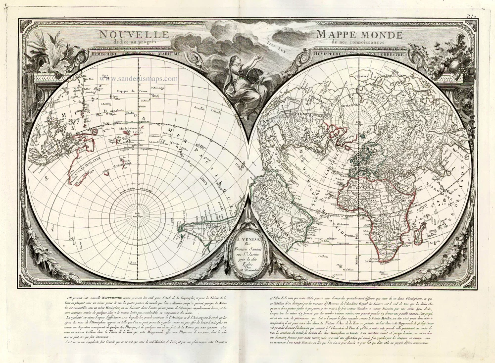
Nouvelle Mappe Monde Dediee au Progres de nos Connoissances. 1776-79
World by Francesco Santini.
[Item number: 26946]

Universi Orbis Descriptio. 1597
World by Giovanni Magini
[Item number: 27837]
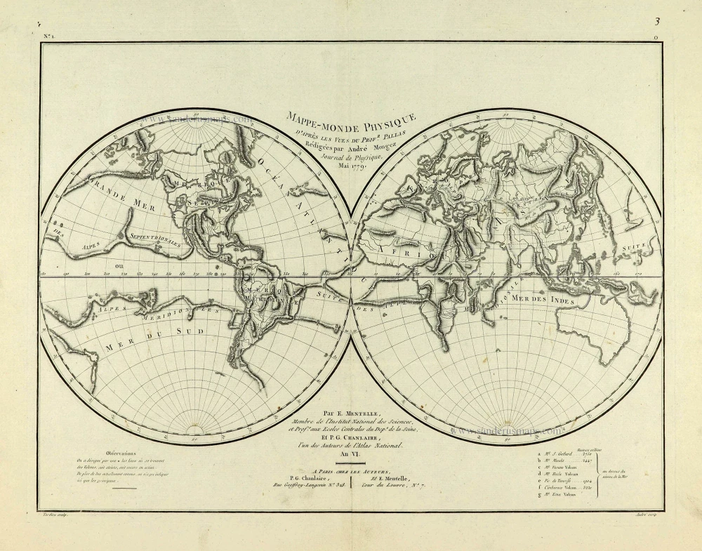
Mappe-Monde Physique. c. 1797
World map, double hemisphere by Pierre Grégoire Chanlaire.
[Item number: 28210]
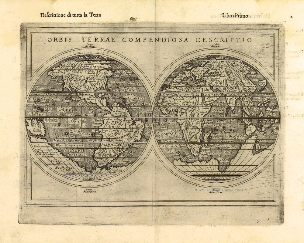
First edition, scarce
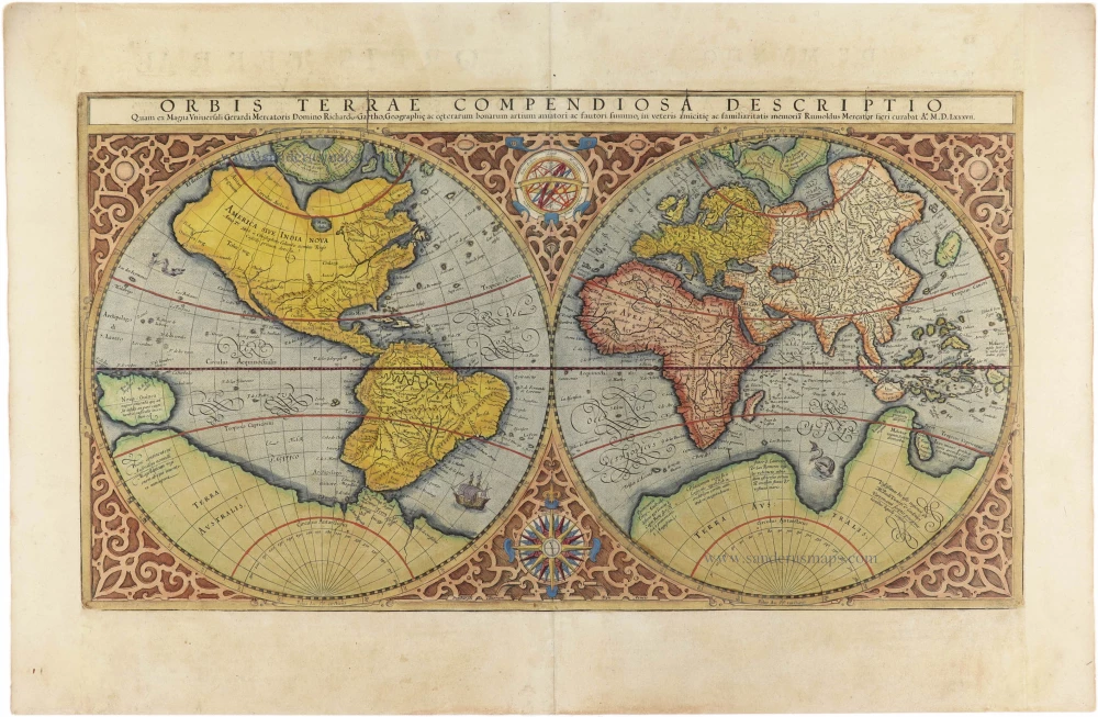
Orbis Terrae Compendiosa Descriptio. 1598
World by Giuseppe Rosaccio, double hemisphere.
[Item number: 28289]
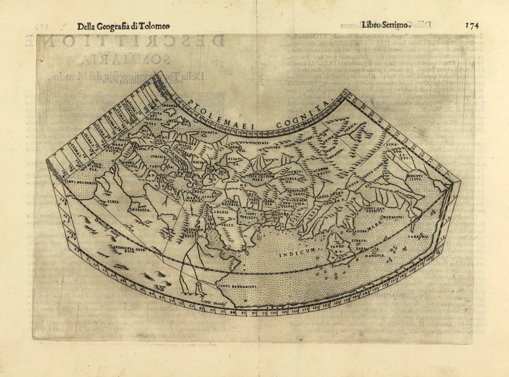
Ptolemaei Cognita. 1598
Ptolemaic world map by Giuseppe Rosaccio.
[Item number: 28290]
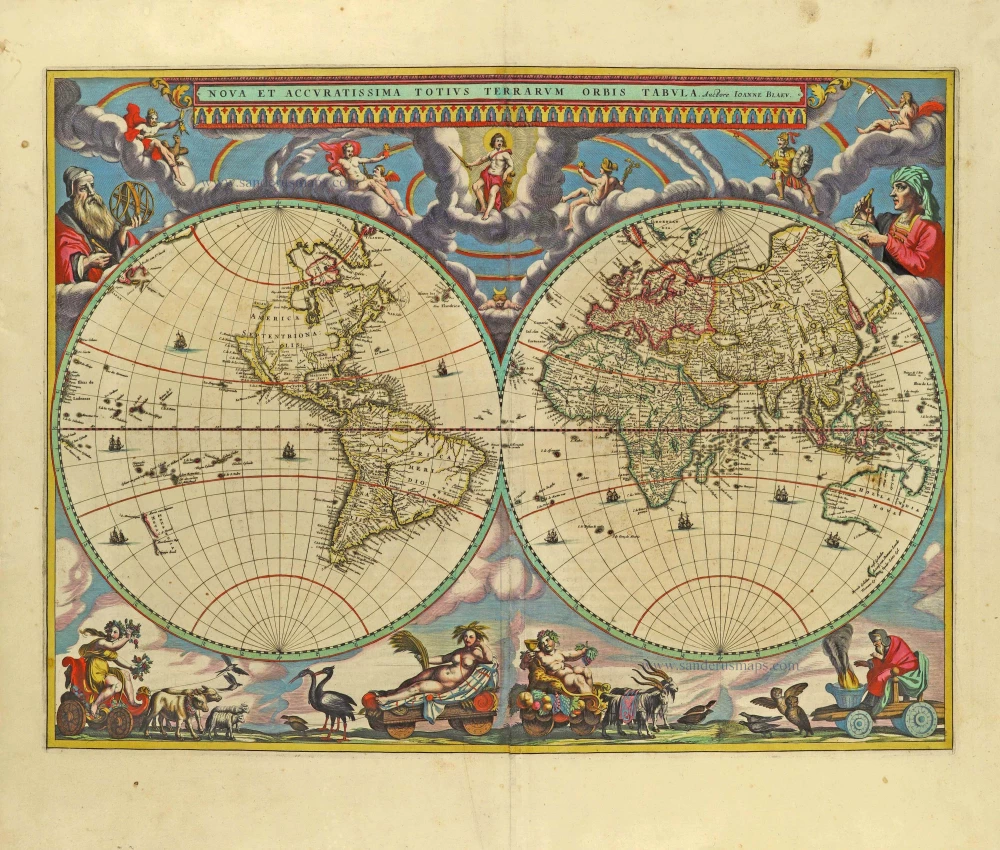
The engraving and layout and elegance of decoration are all of the highest standards.
Nova Et Accuratissima Totius Terrarum Orbis Tabula. 1659
World by Joan Blaeu, double hemisphere.
[Item number: 28336]
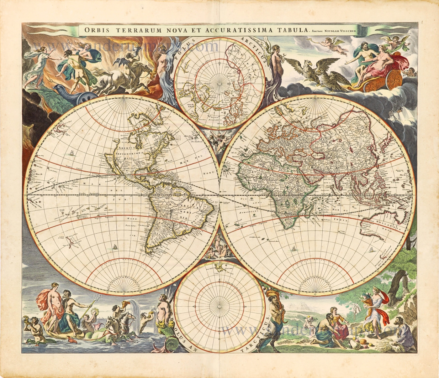
Orbis Terrarum Nova et Accuratissima Tabula. c. 1678
World by Nicolaas Visscher, double hemisphere.
[Item number: 28628]

A fine ornate example of the decorative cartography of the time.
Nova Totius Terrarum Orbis Geographica ac Hydrographica Tabula. Auct: Henr: Hondio. 1641
Double-hemisphere world map by Henricus Hondius.
[Item number: 28768]

Luxury colouring.
Orbis Terrarum Nova et Accuratissima Tabula. c. 1678
Double-hemisphere world map, by Nicolaas Visscher I.
[Item number: 28934]
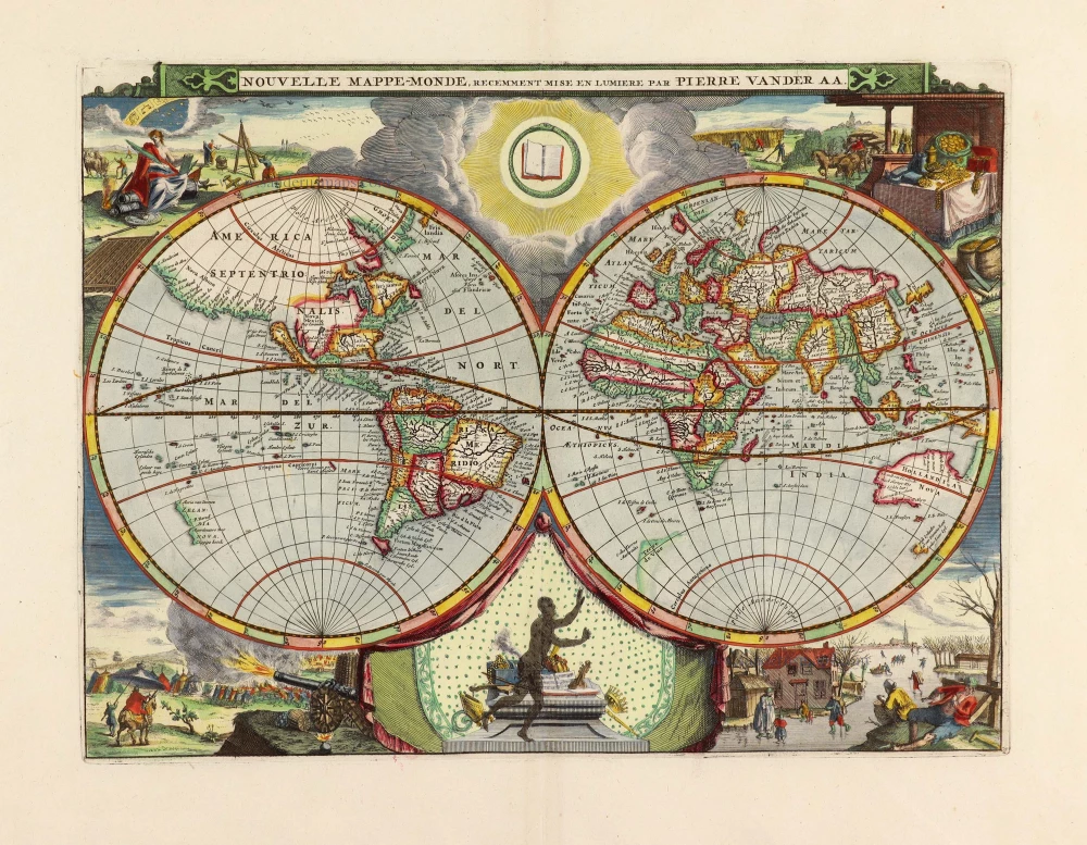
Nouvelle Mappe-Monde, 1710
World by Pieter Van der Aa, double hemisphere.
[Item number: 29136]
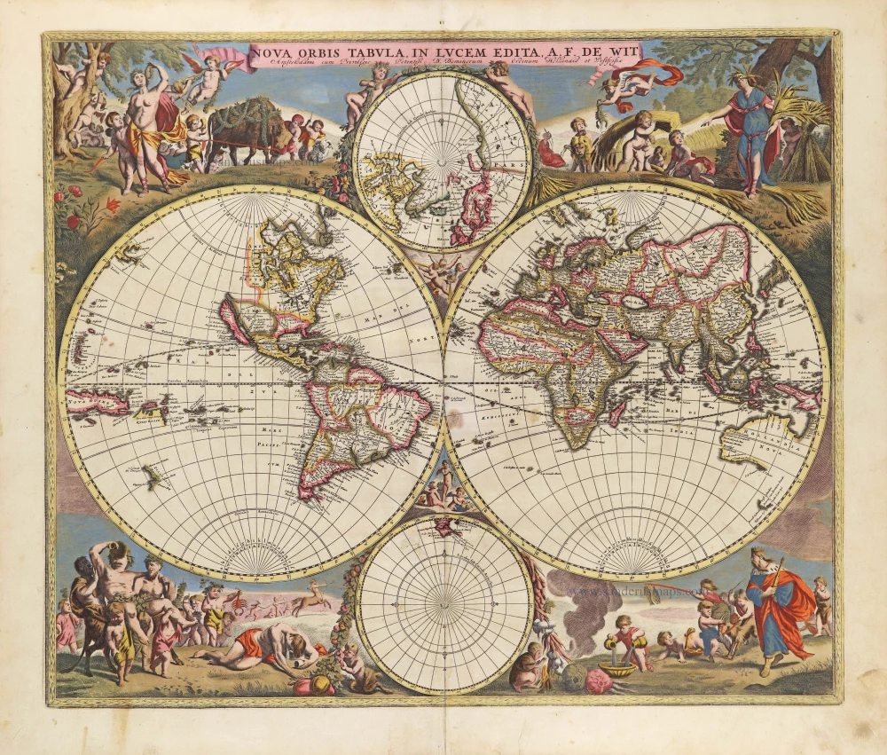
Nova Orbis Tabula in Lucem Edita, A. F. De Wit. c. 1690
World by Frederik De Wit, double hemisphere.
[Item number: 29231]

Mappe-Monde, ou Carte Generale du Monde, 1652
Double hemisphere world map by Nicolas Sanson.
[Item number: 29612]
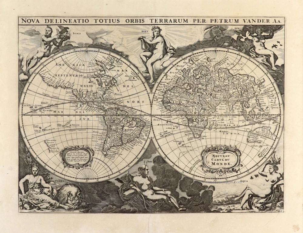
Nova Delineatio Totius Orbis Terrarum per Petrum Van der Aa. - Nouveau Carte du Monde. 1702
World by Pieter Van der Aa - double hemisphere.
[Item number: 30150]

'One of the supreme examples of map maker's art' (Shirley)
Nova Totius Terrarum Orbis Geographica ac Hydrographica. 1643
World by Willem Blaeu, in Mercator projection.
[Item number: 30271]
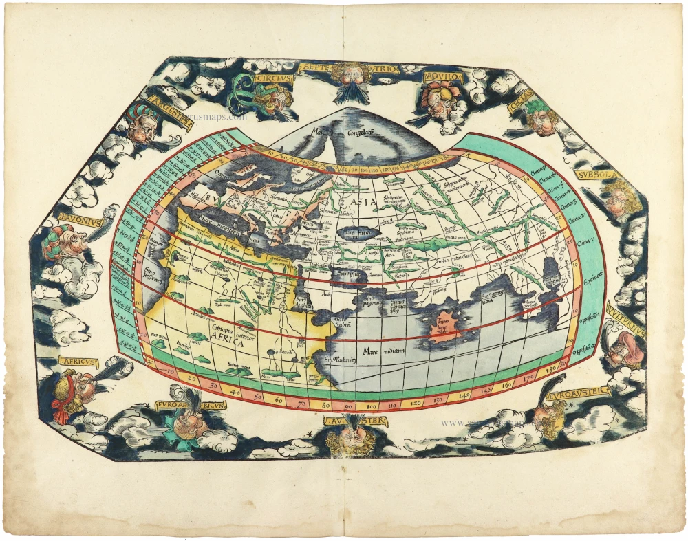
Rare 1525 edition in nice old colour.
[No title] 1525
Ptolemaic world by Lorenz Fries after Martin Waldseemüller.
[Item number: 30649]
Orbis Terrae Compendiosa Descriptio. 1613
World by Mercator Rumold, double hemisphere.
[Item number: 30942]