
World by Gregor Reisch. 1513
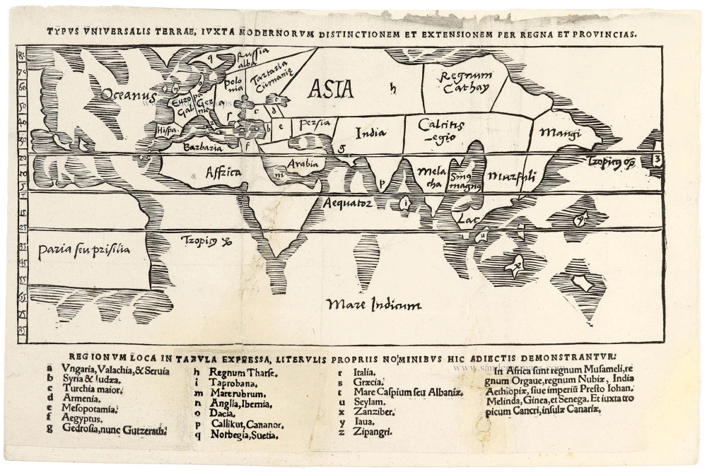
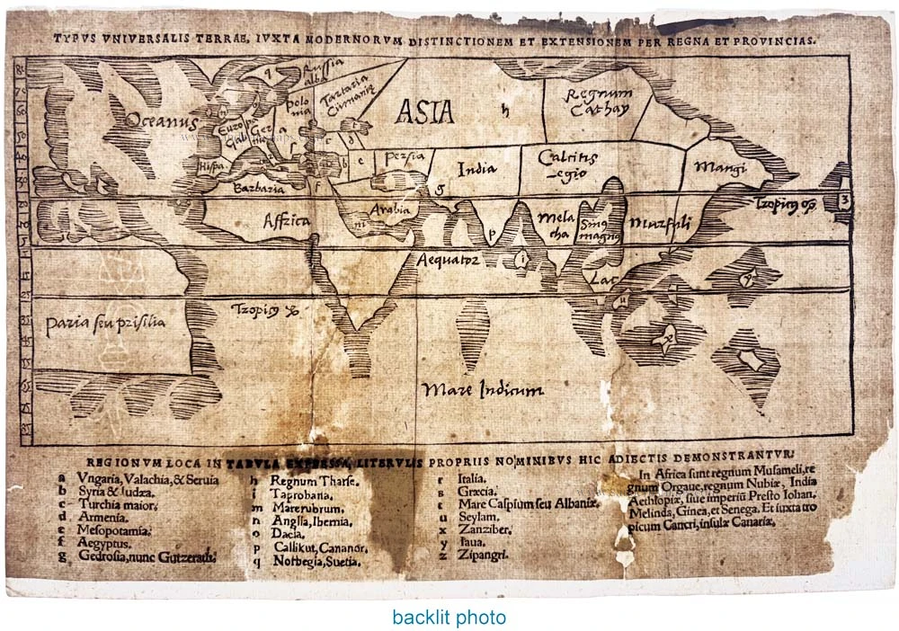
An exceptionally rare and historically important early sixteenth-century world map, published in the Strasbourg edition of Gregor Reisch's celebrated encyclopaedia, Margarita Philosophica, in 1513.
This remarkable woodcut presents a highly schematic representation of the known world, reflecting the geographical knowledge of the late medieval and early Renaissance periods. Rather than attempting a geographically accurate depiction of the continents, the map concentrates on the distribution of kingdoms, provinces and regions, arranged within a framework of latitude lines.
Europe, Asia and Africa are represented in a simplified and distorted configuration, with Asia occupying much of the upper portion of the map. The Mediterranean region is compressed into a narrow band, while Africa extends southwards across the equator. The Indian Ocean, prominently labelled Mare Indicum, occupies much of the lower portion.
Of particular importance is the representation of the New World. Parts of both North and South America are depicted along the left-hand side of the map, the northern portion remaining unnamed. At the same time, the southern landmass bears the inscription Paria seu Prisilia, referring to Paria and Brazil. The two American landmasses are shown without an intervening strait.
Published barely two decades after Columbus's first voyage, the map provides a fascinating testimony to the rapidly evolving European understanding of the newly discovered lands across the Atlantic. Its highly schematic geographical configuration combines elements of traditional medieval geography with information derived from the great voyages of discovery.
Particularly interesting is the treatment of the eastern world, where India, Calicut, Malacca and other Asian regions appear alongside geographical names derived from classical and medieval sources. The island of Taprobana (Sri Lanka) is identified in the accompanying key, together with Java, Zanzibar and other territories.
The extensive alphabetical key beneath the map identifies numerous kingdoms, provinces and geographical features, providing an important insight into contemporary European perceptions of the world.
The map was published in the 1513 Strasbourg edition of the Margarita Philosophica by Gregor Reisch (c. 1467–1525), a German Carthusian monk and scholar. First published in 1503, this influential encyclopaedia was one of the most important educational works of the early sixteenth century. Organised around the seven liberal arts and other branches of learning, it was widely used as a compendium of contemporary scientific and philosophical knowledge.
The present map belongs to the exceptionally rare 1513 issue, identified by Shirley as no. 36. Its unusual geographical configuration, its early representation of the American continents and its position at the transition between medieval and Renaissance cartography make it a particularly fascinating document in the history of geographical thought.
Gregor Reisch (c. 1467–1525)
Gregor Reisch was a German scholar, theologian, and Carthusian monk, best known as the author of the Margarita Philosophica, one of the most influential encyclopaedias of the early Renaissance.
Born around 1467, probably in Balingen in southwestern Germany, Reisch studied at the University of Freiburg im Breisgau, where he obtained his master's degree in 1489. He subsequently entered the Carthusian Order and became prior of the charterhouse at Freiburg.
His most important work, the Margarita Philosophica (The Philosophical Pearl), was first published in Freiburg in 1503. Conceived as a comprehensive textbook, it covered the seven liberal arts as well as natural philosophy, astronomy, geography, medicine and other branches of knowledge. Richly illustrated with woodcuts, the book enjoyed considerable popularity and appeared in numerous editions throughout the sixteenth century.
Reisch's geographical importance rests particularly on the maps and cosmographical illustrations included in his encyclopaedia. These provide valuable evidence of the transition from medieval geographical traditions to the new understanding of the world brought about by the great voyages of discovery.
Reisch maintained close contacts with leading humanist scholars, including Erasmus of Rotterdam, and counted the celebrated cartographers Martin Waldseemüller and Sebastian Münster among his pupils.
He died in Freiburg on 9 May 1525. His Margarita Philosophica remains an important landmark in the history of Renaissance learning and early printed scientific illustration.
Typus Universalis Terrae, Iuxta Modernorum Distictionum Et Extensionem Per Regna Et Provincias.
Item Number: 33413 new Authenticity Guarantee
Category: Antique maps > World
World by Gregor Reisch.
Title: Typus Universalis Terrae, Iuxta Modernorum Distictionum Et Extensionem Per Regna Et Provincias.
Date of the first edition: 1513.
Date of this map: 1513.
First and only edition - extremely rare.
With watermark: staff of Basel over monogram 'AT'
Woodcut, printed on paper.
Image size, excluding title and key below: 130 x 285mm (5 x 11¼ inches).
Sheet size: 200 x 300mm (7¾ x 11¾ inches).
Verso: Blank.
Condition: Cleaned, lower half still with some browning and spotting, two large repaired tears up to centre of image, one tear-out up to legend and text replaced in manuscript (h-q and 'tabula expressa, literlis''; c. 4.5x5 cm); split to old vertical fold at left; completely strengthened with fine paper. The map is complete.
Condition Rating: B
From: Reisch Gregor, Margarita Philosophica ... Strasbourg, 1513.
An exceptionally rare and historically important early sixteenth-century world map, published in the Strasbourg edition of Gregor Reisch's celebrated encyclopaedia, Margarita Philosophica, in 1513.
This remarkable woodcut presents a highly schematic representation of the known world, reflecting the geographical knowledge of the late medieval and early Renaissance periods. Rather than attempting a geographically accurate depiction of the continents, the map concentrates on the distribution of kingdoms, provinces and regions, arranged within a framework of latitude lines.
Europe, Asia and Africa are represented in a simplified and distorted configuration, with Asia occupying much of the upper portion of the map. The Mediterranean region is compressed into a narrow band, while Africa extends southwards across the equator. The Indian Ocean, prominently labelled Mare Indicum, occupies much of the lower portion.
Of particular importance is the representation of the New World. Parts of both North and South America are depicted along the left-hand side of the map, the northern portion remaining unnamed. At the same time, the southern landmass bears the inscription Paria seu Prisilia, referring to Paria and Brazil. The two American landmasses are shown without an intervening strait.
Published barely two decades after Columbus's first voyage, the map provides a fascinating testimony to the rapidly evolving European understanding of the newly discovered lands across the Atlantic. Its highly schematic geographical configuration combines elements of traditional medieval geography with information derived from the great voyages of discovery.
Particularly interesting is the treatment of the eastern world, where India, Calicut, Malacca and other Asian regions appear alongside geographical names derived from classical and medieval sources. The island of Taprobana (Sri Lanka) is identified in the accompanying key, together with Java, Zanzibar and other territories.
The extensive alphabetical key beneath the map identifies numerous kingdoms, provinces and geographical features, providing an important insight into contemporary European perceptions of the world.
The map was published in the 1513 Strasbourg edition of the Margarita Philosophica by Gregor Reisch (c. 1467–1525), a German Carthusian monk and scholar. First published in 1503, this influential encyclopaedia was one of the most important educational works of the early sixteenth century. Organised around the seven liberal arts and other branches of learning, it was widely used as a compendium of contemporary scientific and philosophical knowledge.
The present map belongs to the exceptionally rare 1513 issue, identified by Shirley as no. 36. Its unusual geographical configuration, its early representation of the American continents and its position at the transition between medieval and Renaissance cartography make it a particularly fascinating document in the history of geographical thought.
Gregor Reisch (c. 1467–1525)
Gregor Reisch was a German scholar, theologian, and Carthusian monk, best known as the author of the Margarita Philosophica, one of the most influential encyclopaedias of the early Renaissance.
Born around 1467, probably in Balingen in southwestern Germany, Reisch studied at the University of Freiburg im Breisgau, where he obtained his master's degree in 1489. He subsequently entered the Carthusian Order and became prior of the charterhouse at Freiburg.
His most important work, the Margarita Philosophica (The Philosophical Pearl), was first published in Freiburg in 1503. Conceived as a comprehensive textbook, it covered the seven liberal arts as well as natural philosophy, astronomy, geography, medicine and other branches of knowledge. Richly illustrated with woodcuts, the book enjoyed considerable popularity and appeared in numerous editions throughout the sixteenth century.
Reisch's geographical importance rests particularly on the maps and cosmographical illustrations included in his encyclopaedia. These provide valuable evidence of the transition from medieval geographical traditions to the new understanding of the world brought about by the great voyages of discovery.
Reisch maintained close contacts with leading humanist scholars, including Erasmus of Rotterdam, and counted the celebrated cartographers Martin Waldseemüller and Sebastian Münster among his pupils.
He died in Freiburg on 9 May 1525. His Margarita Philosophica remains an important landmark in the history of Renaissance learning and early printed scientific illustration.
Related items

Aevi Veteris, Typus Geographicus 1595
Old, antique map of Ancient World by Ortelius A.
[Item number: 6684]
The engraving and layout and elegance of decoration are all of the highest standards.
Nova Et Accuratissima Totius Terrarum Orbis Tabula. 1659
World by Joan Blaeu, double hemisphere.
[Item number: 28336]
Orbis Terrarum Nova et Accuratissima Tabula. 1658-1677
World by Nicolaas Visscher, double hemisphere.
[Item number: 28628]

A fine ornate example of the decorative cartography of the time.
Nova Totius Terrarum Orbis Geographica ac Hydrographica Tabula. Auct: Henr: Hondio. 1641
Double-hemisphere world map by Henricus Hondius.
[Item number: 28768]
Luxury colouring.
Orbis Terrarum Nova et Accuratissima Tabula. 1658-77
Double-hemisphere world map, by Nicolaas Visscher I.
[Item number: 28934]
Nouvelle Mappe-Monde, 1710
World by Pieter Van der Aa, double hemisphere.
[Item number: 29136]

Nova Orbis Tabula in Lucem Edita, A. F. De Wit. c. 1690
World by Frederik De Wit, double hemisphere.
[Item number: 29231]
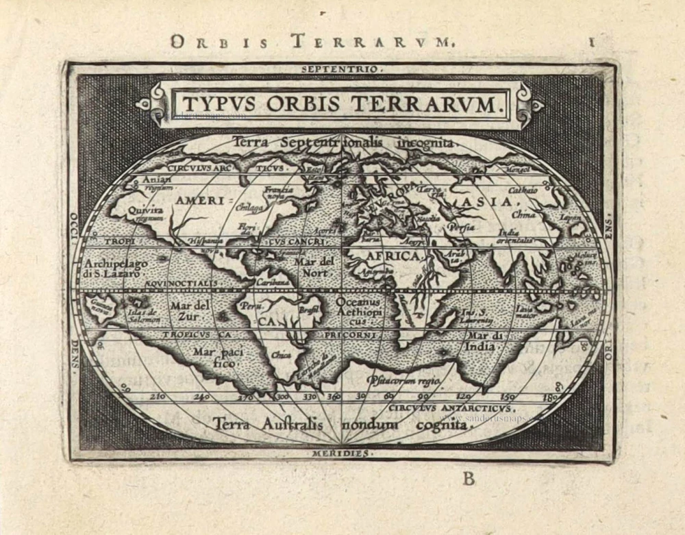
Typus Orbis Terrarum. 1589
The world by Abraham Ortelius / Philippe Galle.
[Item number: 29605]

'One of the supreme examples of map maker's art' (Shirley)
Nova Totius Terrarum Orbis Geographica ac Hydrographica. 1643
World by Willem Blaeu, in Mercator projection.
[Item number: 30271]
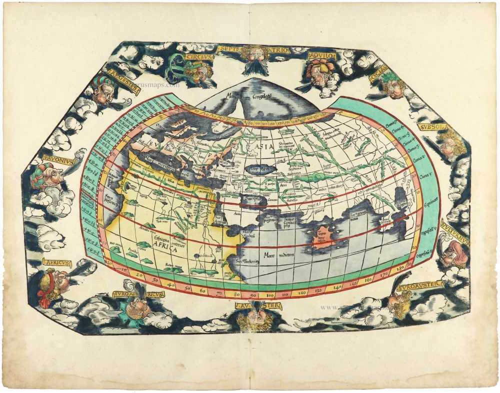
Rare 1525 edition in nice old colour.
[No title] 1525
Ptolemaic world by Lorenz Fries after Martin Waldseemüller.
[Item number: 30649]
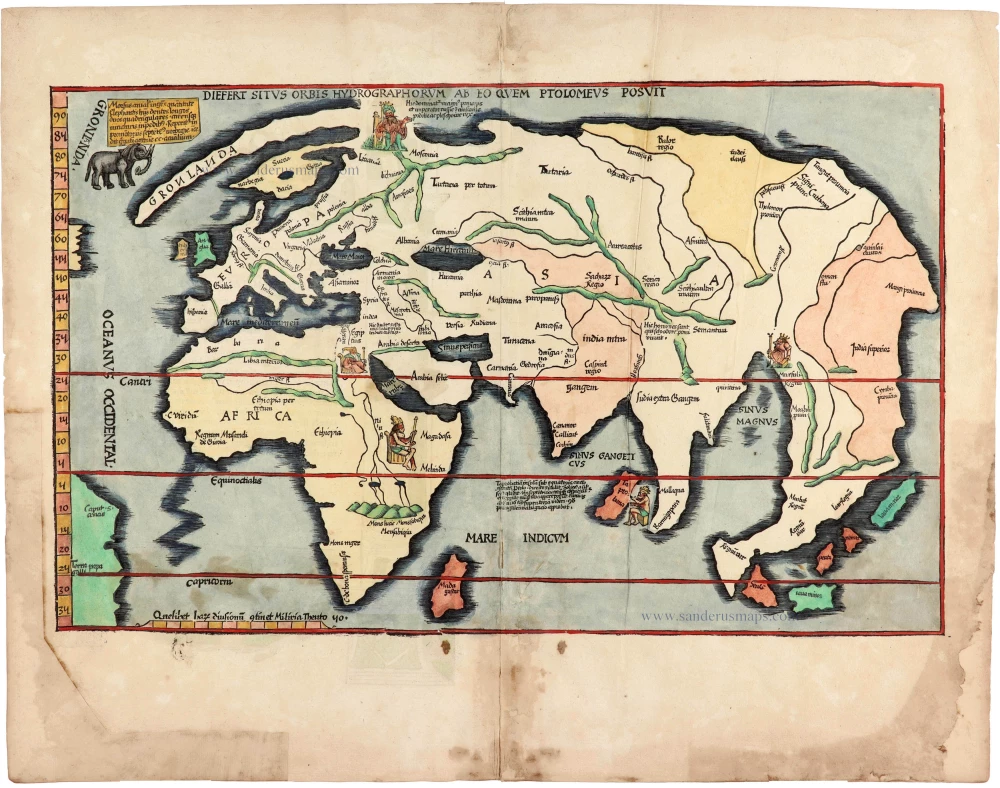
Rare 1525 edition of the second modern world map by Fries, in nice old colour.
Diefert Situs Orbis Hydrographorum Ab Eo Quem Ptolomeus Posuit. 1525
Modern world map, by Lorenz Fries, after Martin Waldseemüller.
[Item number: 30661]

A VERY RARE FIRST STATE OF TAVERNIER'S MAGNIFICENT DOUBLE-HEMISPHERE WORLD MAP, 1630
Nova Totius Terrarum Orbis Geographica ac Hydrographica auct: Iud: Hondio. 1630
Double hemisphere world map by Jodocus Hondius, published by Melchior Tavernier.
[Item number: 30840]
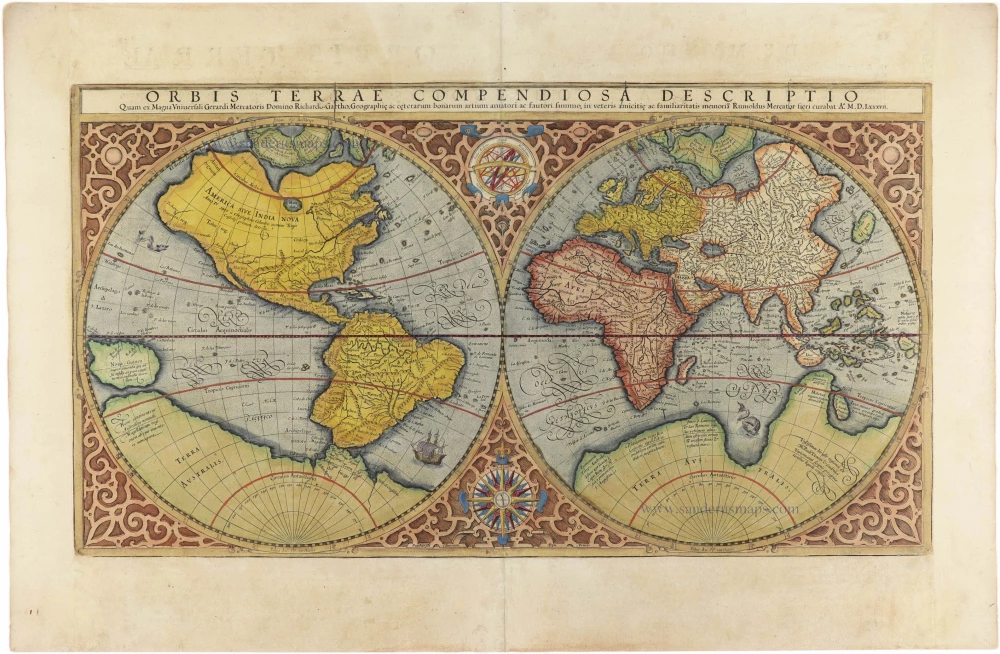
Orbis Terrae Compendiosa Descriptio. 1613
World by Mercator Rumold, double hemisphere.
[Item number: 30942]

Beautiful example of this important world map
Typus Orbis Terrarum. 1584
World by Abraham Ortelius.
[Item number: 32090]

Planiglobii Terrestris cum Utroq Hemisphaerio Caelesti Generalis Repraesentatio. 1712
World by Homann J.B., double hemisphere.
[Item number: 32099]

Rare title page of Purchas's Pilgrimes, with his portrait and worldmap
Hakluytus Posthumus, or Purchas His Pilgrimes 1625
Samuel Purchas ' title page with a world map and portrait
[Item number: 32417]
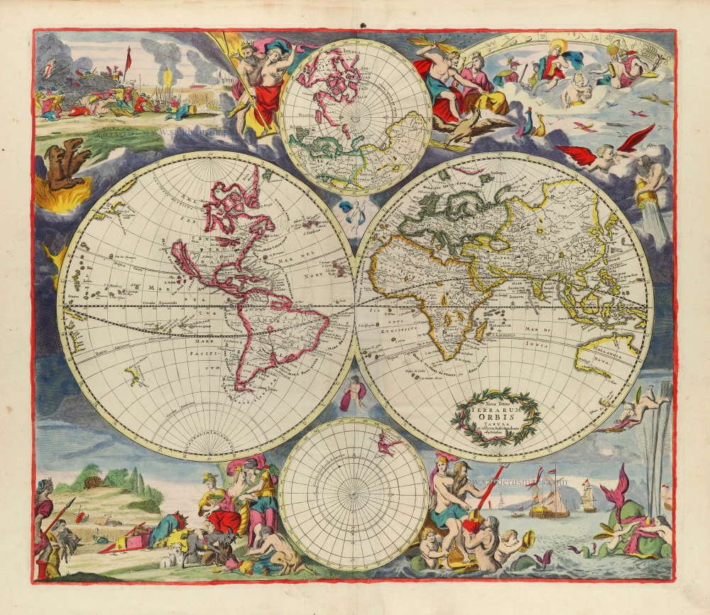
Rare first state of Danckerts beautiful world map
Nova Totius Terrarum Orbis Tabula. c. 1700
Double hemisphere world map by Justus Danckerts
[Item number: 32456]
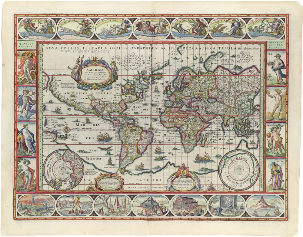
'One of the supreme examples of map maker's art' (Shirley)
Nova Totius Terrarum Orbis Geographica ac Hydrographica. 1635
World by Willem Blaeu, in Mercator projection.
[Item number: 32683]
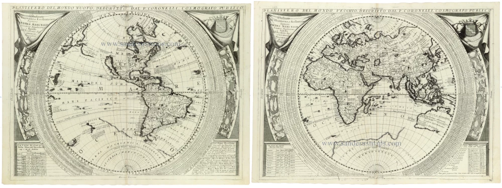
Planisfero del Mondo Nuovo, [in set with] Planisfero del Mondo Vecchio 1691
World - Set of two hemispheres by Coronelli V.M. (1650-1718
[Item number: 33302]
new