
World - Set of two hemispheres by Coronelli V.M. (1650-1718 1691
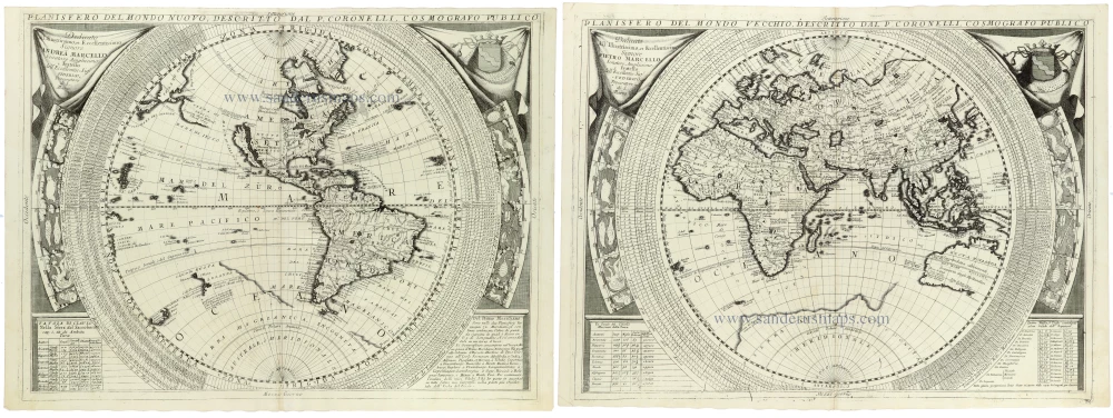
A magnificent and highly decorative pair of world maps by the celebrated Venetian cartographer Vincenzo Maria Coronelli, depicting the Western and Eastern Hemispheres on two separate, large copper-engraved sheets. Published in Coronelli's monumental Atlante Veneto in 1691, these impressive planispheres rank among the finest examples of late seventeenth-century Italian cartography.
The Planisfero del Mondo Nuovo depicts the Western Hemisphere, dominated by North and South America and the vast expanse of the Pacific Ocean. One of its most striking geographical features is the representation of California as a large island, separated from the North American mainland by a broad channel. This famous cartographic misconception, which persisted on European maps well into the eighteenth century, makes the map particularly interesting to collectors of early American cartography.
The western coastline of North America remains imperfectly understood, reflecting the limited European exploration of the northern Pacific. The Great Lakes, the Mississippi River system, and the interior of North America are depicted based on the geographical knowledge available toward the end of the seventeenth century. It shows South America in considerable detail, including its principal rivers, mountain ranges, settlements, and colonial territories. Numerous Pacific islands are identified, together with references to the voyages and discoveries of European navigators.
The companion Planisfero del Mondo Vecchio presents the Eastern Hemisphere, encompassing Europe, Africa, Asia, the East Indies, and Australia. The densely engraved geography of Europe and Asia contrasts with the still imperfectly known regions of Central Africa and the southern oceans. The Indian Ocean, the Indonesian archipelago, and the Philippines are represented in considerable detail.
Of particular cartographic interest is the depiction of Australia, here identified as Nuova Hollandia. Its western and northern coastlines reflect the discoveries of seventeenth-century Dutch navigators, while the eastern coastline remains largely unknown. The southern coastline is likewise incomplete, illustrating the considerable uncertainty that still surrounded the geography of the Australian continent.
Both hemispheres are surrounded by elaborate concentric bands containing geographical and astronomical information, including graduated scales and extensive tabulated data. The maps incorporate a wealth of explanatory annotations, reflecting Coronelli's ambition to combine geographical description with mathematical and cosmographical scholarship.
The decorative treatment is especially impressive. Each map is framed by elaborate Baroque architectural ornamentation, with richly engraved draperies, heraldic devices, and ornamental panels. The upper left corner of both sheets bears a dedication to Pietro Marcello, a Venetian nobleman, while the upper right corners display heraldic shields beneath ornamental canopies. Additional tables and explanatory texts occupy the lower corners, contributing to the maps' remarkable combination of scientific information and decorative elegance.
The two planispheres exemplify Coronelli's distinctive cartographic style, combining unusually large scale, meticulous engraving, abundant geographical nomenclature, and magnificent Baroque ornamentation. Their imposing dimensions and the richness of their geographical and cosmographical content make them particularly desirable examples of late seventeenth-century world cartography.
Vincenzo Coronelli (1650-1718)
Vincenzo Coronelli was born in Venice on 16 August 1650 and primarily brought up in Ravenna. He returned to Venice in 1665 and joined the convent of the Minor Conventuals. Five years later, he was sent to Rome to study, and by 1673, he was already a doctor of theology.
Having achieved fame by constructing two globes for the Duke of Parma, he was invited to Paris for three years in 1681 and made two enormous examples for Louis XIV. On his return to Venice, he assiduously collected cartographic material and founded the Academy of the Argonauts. In 1685, he was appointed Cosmographer to the Republic of Venice and authorised to publish a large atlas. He became a geography lecturer at the University of Venice and brought out an Atlante Veneto the following year.
In 1696, he visited Germany, Holland and southern England. During intervals in compiling his vast encyclopaedia, he continued with cartographic projects up to 1709. He died in his native Venice on 9 December 1718.
Coronelli became famous for his globes. In addition, he was a renowned encyclopaedist, mapmaker and geographer. Most of his maps and other material are gathered in his Atlante Veneto (13 vols, 1690-1705). The first volume, subtitled Descrizione generale istorica geografica, was his masterpiece, planned as an extension of Blaeu’s atlas.
Other volumes of the atlas which contain maps are Isolario, two parts (1696-8), with detailed maps and plans, mostly of islands; Corso geografico, two parts based on the edition 1694-7; Libro de’ globi (1697); and Lo Specchio del Mare, a reprint of Levanto's Lo Specchio del Mare Mediterraneo of 1664.
The other vital aspects of his mapping are those arising from the Venetian conquest and his travels. His most extensive military compilation was the Teatro della Guerra, in more than 30 volumes.
Planisfero del Mondo Nuovo, [in set with] Planisfero del Mondo Vecchio
Item Number: 33302 new Authenticity Guarantee
Category: Antique maps > World
World: Set of two hemispheres with insular California on the western hemisphere map, by Coronelli V.M. (1650-1718).
Title: Planisfero del Mondo Nuovo, [in set with] Planisfero del Mondo Vecchio
Descritto dal P. Coronelli, Cosmografo Publico
Two double sheets, unjoined.
Date of the first edition: 1691.
Date of this map: 1691.
Copper engravings, printed on paper.
Image size each: 450 x 610mm (17¾ x 24 inches).
Sheet size each: 475 x 650mm (18¾ x 25½ inches).
Verso: Blank.
Condition: Excellent.
Condition Rating: A.
From: Atlante Veneto, nel quale si contiene la descrittione... degl' Imperii, Regni, Provincie, e Stati dell' Universo. Venice: Girolamo Albrizzi, 1691. Shirley (Brit.Lib.), T.CORO-7a
A magnificent and highly decorative pair of world maps by the celebrated Venetian cartographer Vincenzo Maria Coronelli, depicting the Western and Eastern Hemispheres on two separate, large copper-engraved sheets. Published in Coronelli's monumental Atlante Veneto in 1691, these impressive planispheres rank among the finest examples of late seventeenth-century Italian cartography.
The Planisfero del Mondo Nuovo depicts the Western Hemisphere, dominated by North and South America and the vast expanse of the Pacific Ocean. One of its most striking geographical features is the representation of California as a large island, separated from the North American mainland by a broad channel. This famous cartographic misconception, which persisted on European maps well into the eighteenth century, makes the map particularly interesting to collectors of early American cartography.
The western coastline of North America remains imperfectly understood, reflecting the limited European exploration of the northern Pacific. The Great Lakes, the Mississippi River system, and the interior of North America are depicted based on the geographical knowledge available toward the end of the seventeenth century. It shows South America in considerable detail, including its principal rivers, mountain ranges, settlements, and colonial territories. Numerous Pacific islands are identified, together with references to the voyages and discoveries of European navigators.
The companion Planisfero del Mondo Vecchio presents the Eastern Hemisphere, encompassing Europe, Africa, Asia, the East Indies, and Australia. The densely engraved geography of Europe and Asia contrasts with the still imperfectly known regions of Central Africa and the southern oceans. The Indian Ocean, the Indonesian archipelago, and the Philippines are represented in considerable detail.
Of particular cartographic interest is the depiction of Australia, here identified as Nuova Hollandia. Its western and northern coastlines reflect the discoveries of seventeenth-century Dutch navigators, while the eastern coastline remains largely unknown. The southern coastline is likewise incomplete, illustrating the considerable uncertainty that still surrounded the geography of the Australian continent.
Both hemispheres are surrounded by elaborate concentric bands containing geographical and astronomical information, including graduated scales and extensive tabulated data. The maps incorporate a wealth of explanatory annotations, reflecting Coronelli's ambition to combine geographical description with mathematical and cosmographical scholarship.
The decorative treatment is especially impressive. Each map is framed by elaborate Baroque architectural ornamentation, with richly engraved draperies, heraldic devices, and ornamental panels. The upper left corner of both sheets bears a dedication to Pietro Marcello, a Venetian nobleman, while the upper right corners display heraldic shields beneath ornamental canopies. Additional tables and explanatory texts occupy the lower corners, contributing to the maps' remarkable combination of scientific information and decorative elegance.
The two planispheres exemplify Coronelli's distinctive cartographic style, combining unusually large scale, meticulous engraving, abundant geographical nomenclature, and magnificent Baroque ornamentation. Their imposing dimensions and the richness of their geographical and cosmographical content make them particularly desirable examples of late seventeenth-century world cartography.
Vincenzo Coronelli (1650-1718)
Vincenzo Coronelli was born in Venice on 16 August 1650 and primarily brought up in Ravenna. He returned to Venice in 1665 and joined the convent of the Minor Conventuals. Five years later, he was sent to Rome to study, and by 1673, he was already a doctor of theology.
Having achieved fame by constructing two globes for the Duke of Parma, he was invited to Paris for three years in 1681 and made two enormous examples for Louis XIV. On his return to Venice, he assiduously collected cartographic material and founded the Academy of the Argonauts. In 1685, he was appointed Cosmographer to the Republic of Venice and authorised to publish a large atlas. He became a geography lecturer at the University of Venice and brought out an Atlante Veneto the following year.
In 1696, he visited Germany, Holland and southern England. During intervals in compiling his vast encyclopaedia, he continued with cartographic projects up to 1709. He died in his native Venice on 9 December 1718.
Coronelli became famous for his globes. In addition, he was a renowned encyclopaedist, mapmaker and geographer. Most of his maps and other material are gathered in his Atlante Veneto (13 vols, 1690-1705). The first volume, subtitled Descrizione generale istorica geografica, was his masterpiece, planned as an extension of Blaeu’s atlas.
Other volumes of the atlas which contain maps are Isolario, two parts (1696-8), with detailed maps and plans, mostly of islands; Corso geografico, two parts based on the edition 1694-7; Libro de’ globi (1697); and Lo Specchio del Mare, a reprint of Levanto's Lo Specchio del Mare Mediterraneo of 1664.
The other vital aspects of his mapping are those arising from the Venetian conquest and his travels. His most extensive military compilation was the Teatro della Guerra, in more than 30 volumes.
Related items
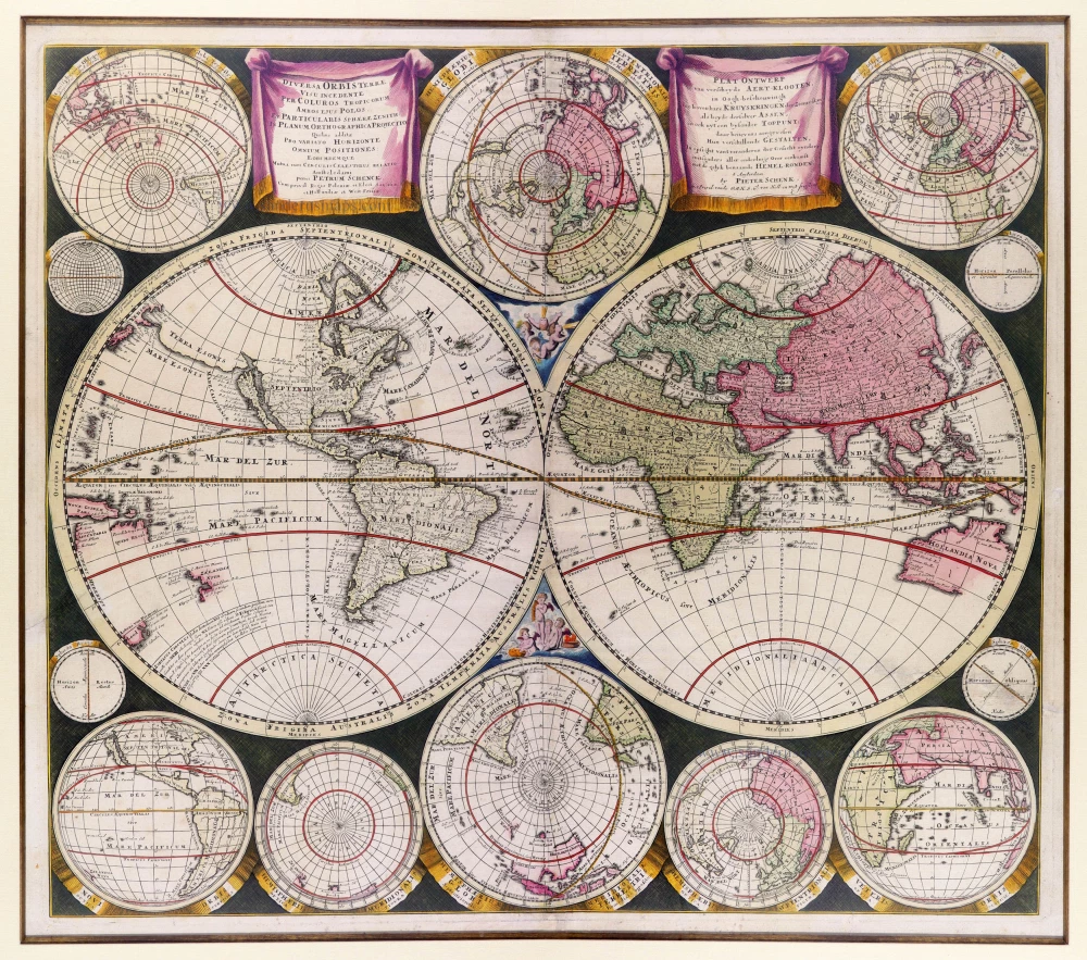
Diversa Orbis Terrae visu incedente per coluros tropicorum, ambos ejus polos, et particularis sphaerae zenith, in planum orthographica projectio ... c. 1710
World map in two hemispheres, by Petrus Schenk
[Item number: 9477]

Aevi Veteris, Typus Geographicus. 1601
Ancient World by Abraham Ortelius.
[Item number: 22609]

Nouvelle Mappe Monde Dediee au Progres de nos Connoissances. 1776-79
World by Francesco Santini.
[Item number: 26946]

Universi Orbis Descriptio. 1597
World by Giovanni Magini
[Item number: 27837]
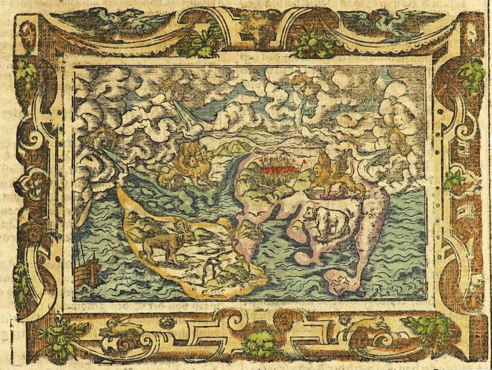
The most mystical world map of all time.
[No title] 1560-1600
Daniel's Dream Map. The Wittenberg world map.
[Item number: 28159]

Mappemonde en deux Hémisphères. c. 1797
World map, double hemisphere by Pierre Grégoire Chanlaire.
[Item number: 28209]

Mappe-Monde Physique. c. 1797
World map, double hemisphere by Pierre Grégoire Chanlaire.
[Item number: 28210]
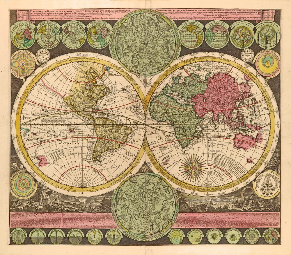
Planisphaerium Terrestre cum utroque Coelesti Hemisphaerio, sive Diversa Orbis Terraquei, c. 1730
World by Zürner A.F., double hemisphere.
[Item number: 28229]
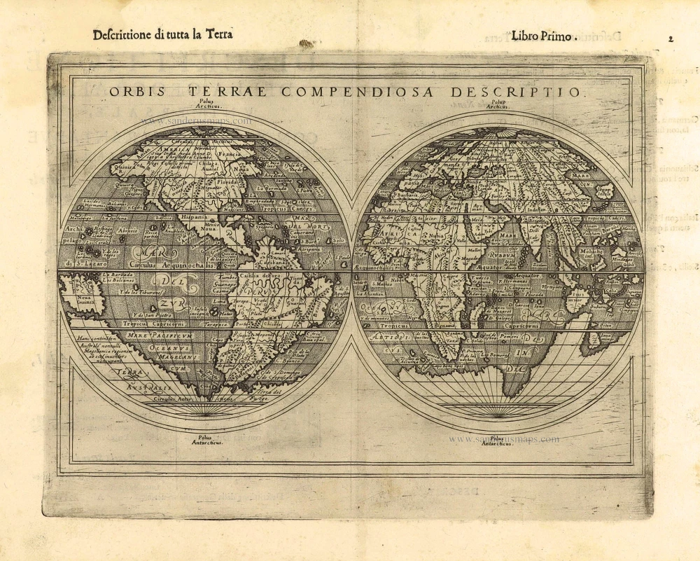
First edition, scarce
Orbis Terrae Compendiosa Descriptio. 1598
World by Giuseppe Rosaccio, double hemisphere.
[Item number: 28289]

Ptolemaei Cognita. 1598
Ptolemaic world map by Giuseppe Rosaccio.
[Item number: 28290]
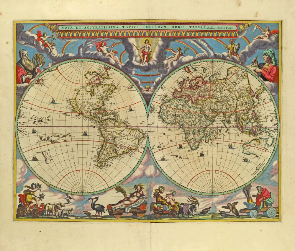
The engraving and layout and elegance of decoration are all of the highest standards.
Nova Et Accuratissima Totius Terrarum Orbis Tabula. 1659
World by Joan Blaeu, double hemisphere.
[Item number: 28336]
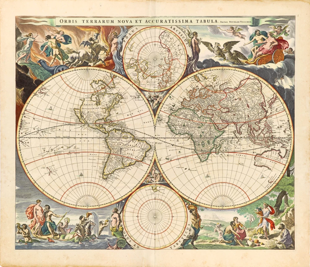
Orbis Terrarum Nova et Accuratissima Tabula. 1658-1677
World by Nicolaas Visscher, double hemisphere.
[Item number: 28628]

A fine ornate example of the decorative cartography of the time.
Nova Totius Terrarum Orbis Geographica ac Hydrographica Tabula. Auct: Henr: Hondio. 1641
Double-hemisphere world map by Henricus Hondius.
[Item number: 28768]

Descrittione Del Mappamondo. 1572
World by Porcacchi Tommaso.
[Item number: 28910]
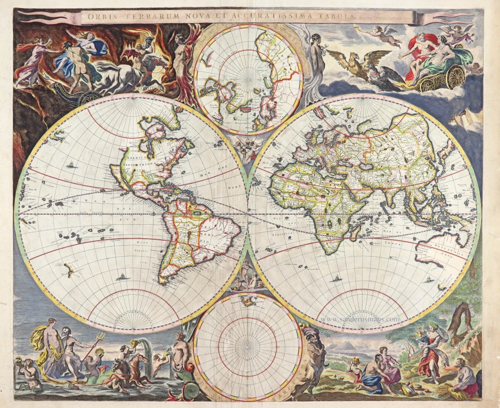
Luxury colouring.
Orbis Terrarum Nova et Accuratissima Tabula. 1658-77
Double-hemisphere world map, by Nicolaas Visscher I.
[Item number: 28934]
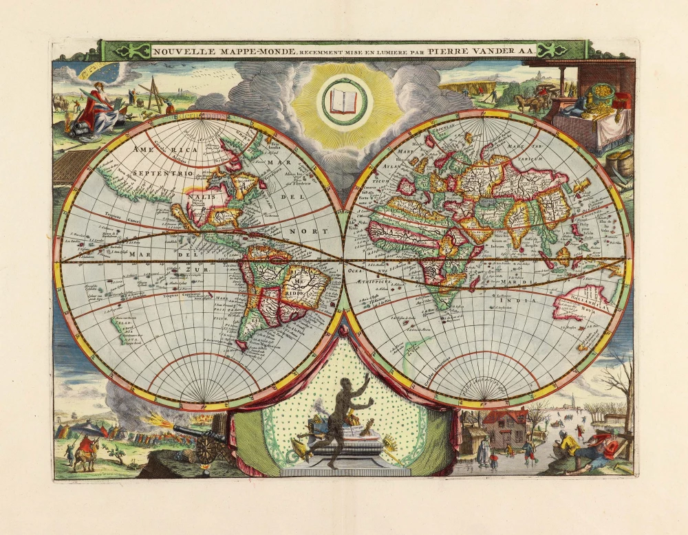
Nouvelle Mappe-Monde, 1710
World by Pieter Van der Aa, double hemisphere.
[Item number: 29136]

Nova Orbis Tabula in Lucem Edita, A. F. De Wit. c. 1690
World by Frederik De Wit, double hemisphere.
[Item number: 29231]

Mapmonde ou description generale du Globe Terrestre. 1713
World map by Zacharias Châtelain.
[Item number: 29555]
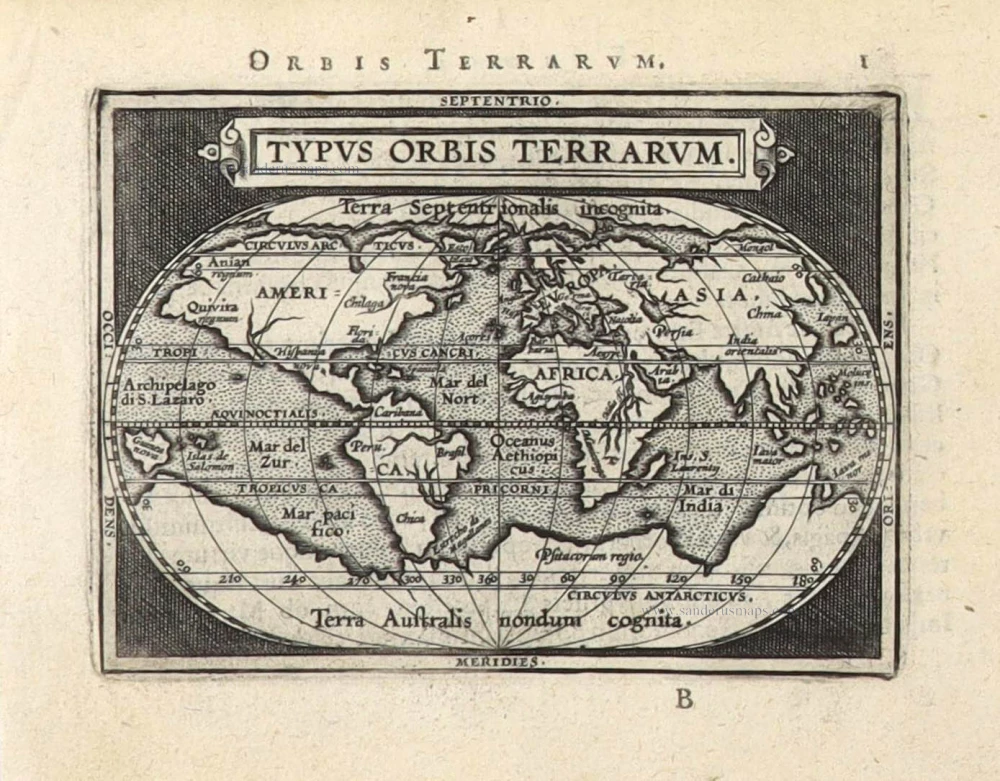
Typus Orbis Terrarum. 1589
The world by Abraham Ortelius / Philippe Galle.
[Item number: 29605]

Rare original colour.
Typus Orbis Terrarum - Globus Terrestris. 1609
Two world maps by A. Ortelius, published by J.B. Vrients.
[Item number: 29861]

Mappe-Monde 1766-1780
World map by Louis Brion de la Tour, published by L.C Desnos.
[Item number: 30100]
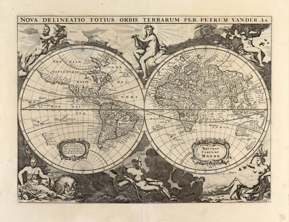
Nova Delineatio Totius Orbis Terrarum per Petrum Van der Aa. - Nouveau Carte du Monde. 1702
World by Pieter Van der Aa - double hemisphere.
[Item number: 30150]

Nouvelle Carte d'Angleterre, d'Ecosse et d'Irlande, avec des Instructions pour connoitre les differents etats de la Couronne d'Angleterre en Europe, Asie, Afrique, et Amérique. 1708
British Isles with a world map in two hemispheres, by Zacharias Châtelain.
[Item number: 30167]

'One of the supreme examples of map maker's art' (Shirley)
Nova Totius Terrarum Orbis Geographica ac Hydrographica. 1643
World by Willem Blaeu, in Mercator projection.
[Item number: 30271]

Superb old colouring, heightened with gold.
Orbis Terrarum Tabula Recens Emendata Et In Lucem Edita 1714
World - Double Hemisphere, by Daniel Stoopendaal
[Item number: 30635]
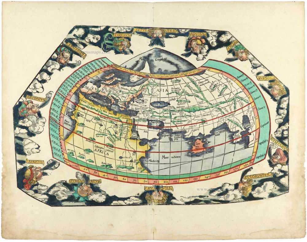
Rare 1525 edition in nice old colour.
[No title] 1525
Ptolemaic world by Lorenz Fries after Martin Waldseemüller.
[Item number: 30649]
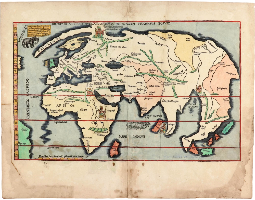
Rare 1525 edition of the second modern world map by Fries, in nice old colour.
Diefert Situs Orbis Hydrographorum Ab Eo Quem Ptolomeus Posuit. 1525
Modern world map, by Lorenz Fries, after Martin Waldseemüller.
[Item number: 30661]

Heightened in gold and silver
[No title] 1599
World by Theodore De Bry, Great Voyages,
[Item number: 30719]

Drake map heightened in gold and silver
[No title] 1599
World by Theodore De Bry, Great Voyages,
[Item number: 30725]
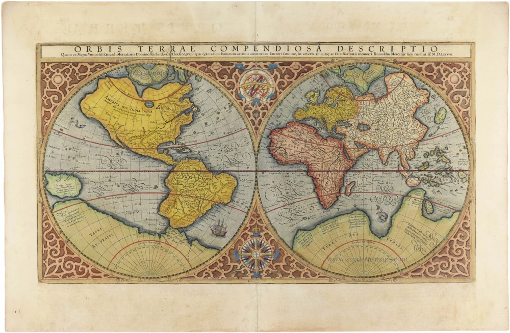
Orbis Terrae Compendiosa Descriptio. 1613
World by Mercator Rumold, double hemisphere.
[Item number: 30942]

Mappe-Monde Geo-Hydrographique, ou Description Generale du Globe Terrestre et Aquatique en Deux Plans-Hemispheres ... 1692
World map by Nicolas Sanson, so-called published by Hubert Jaillot. (Pirated edition by Pierre Mortier).
[Item number: 31136]

Typus Orbis Terrarum. 1618
World by Petrus Bertius, published by Jodocus Hondius II.
[Item number: 31520]

Gottfried's first edition 1631
[no title] 1631
Willem C. Schouten, world map published by Gottfried.
[Item number: 31560]

Rare first edition
[no title] 1618
World map in two hemispheres by Willem W. Schouten.
[Item number: 31601]
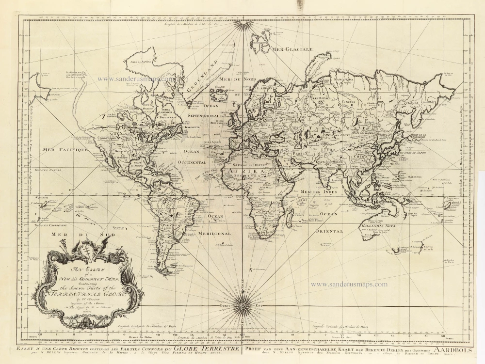
An Essay of a New and Compact Map, containing the known parts of the Terrestrial Globe. 1750
World map by Jacques-Nicolas Bellin, published by A.F. Prévost.
[Item number: 31883]

Beautiful example of this important world map
Typus Orbis Terrarum. 1584
World by Abraham Ortelius.
[Item number: 32090]

Planiglobii Terrestris cum Utroq Hemisphaerio Caelesti Generalis Repraesentatio. 1712
World by Homann J.B., double hemisphere.
[Item number: 32099]
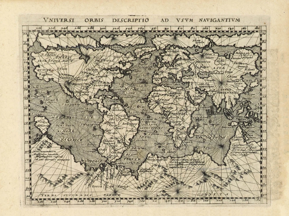
Early Mercator projection
Universi Orbis Descriptio Ad Usum Navigantium. 1597
World by Giovanni Magini.
[Item number: 32281]

Rare title page of Purchas's Pilgrimes, with his portrait and worldmap
Hakluytus Posthumus, or Purchas His Pilgrimes 1625
Samuel Purchas ' title page with a world map and portrait
[Item number: 32417]

Carta Marina Nuova Tavola. 1574
World chart by Girolamo Ruscelli.
[Item number: 32432]
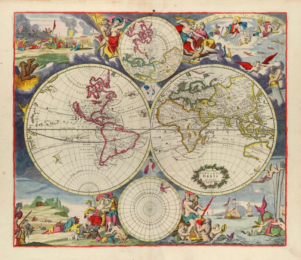
Rare first state of Danckerts beautiful world map
Nova Totius Terrarum Orbis Tabula.. c. 1680
Double hemisphere world map by Justus Danckerts
[Item number: 32456]

The most mystical world map of all time.
[No title] 1560-1600
Daniel's Dream Map. The Wittenberg world map by Hanss Luft.
[Item number: 32507]
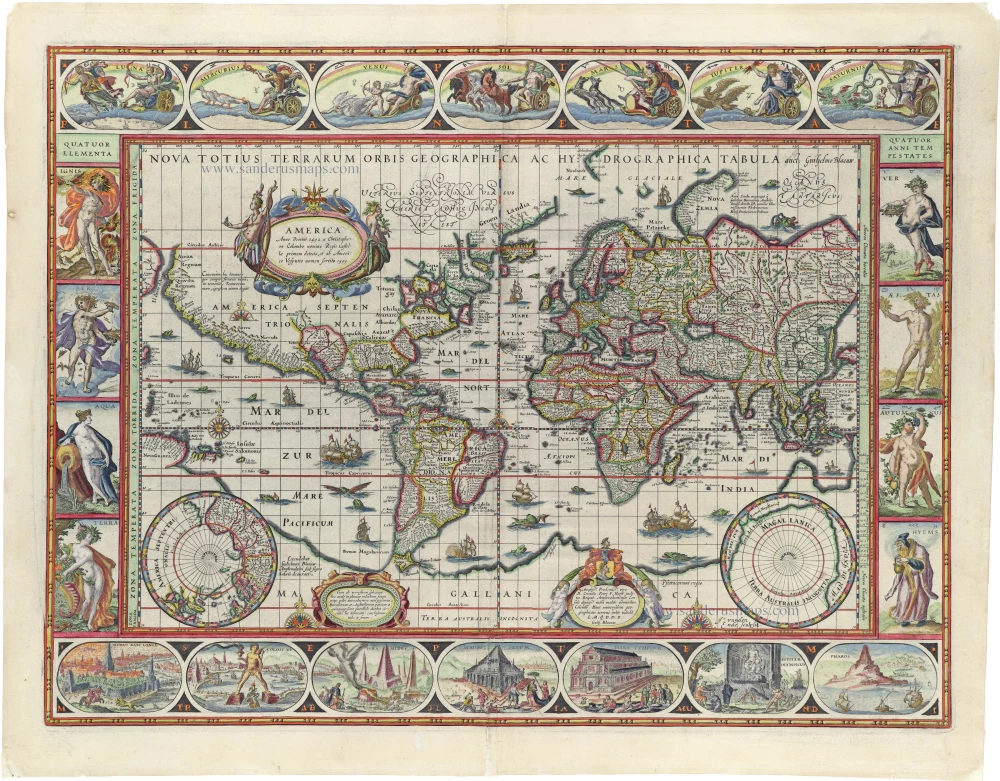
'One of the supreme examples of map maker's art' (Shirley)
Nova Totius Terrarum Orbis Geographica ac Hydrographica. 1635
World by Willem Blaeu, in Mercator projection.
[Item number: 32683]
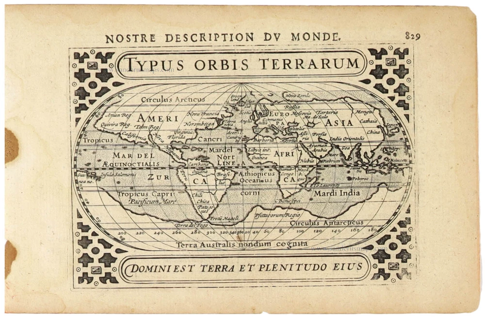
Typus Orbis Terrarum. 1618
World by Petrus Bertius.
[Item number: 33183]