
World & continents. Set of five maps by Willem Blaeu. 1644-45
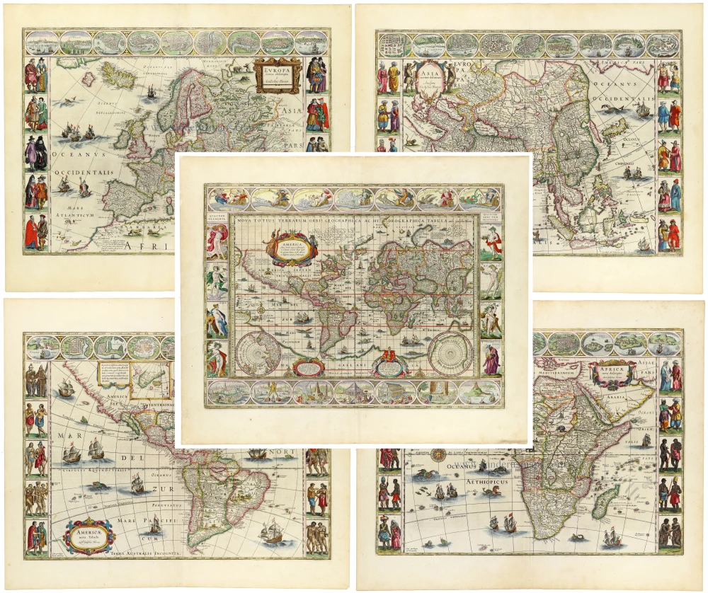
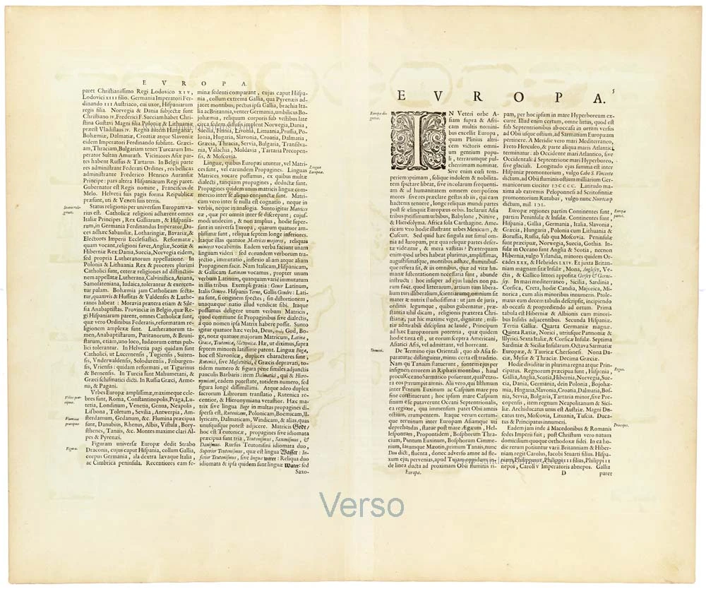
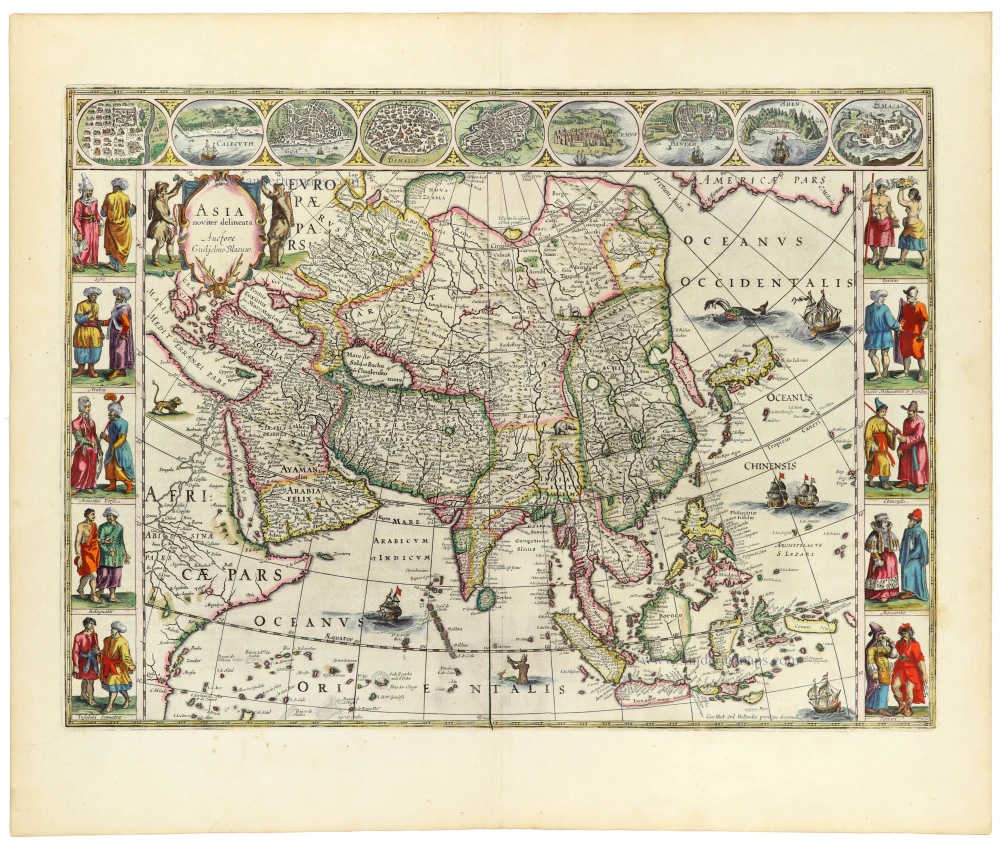
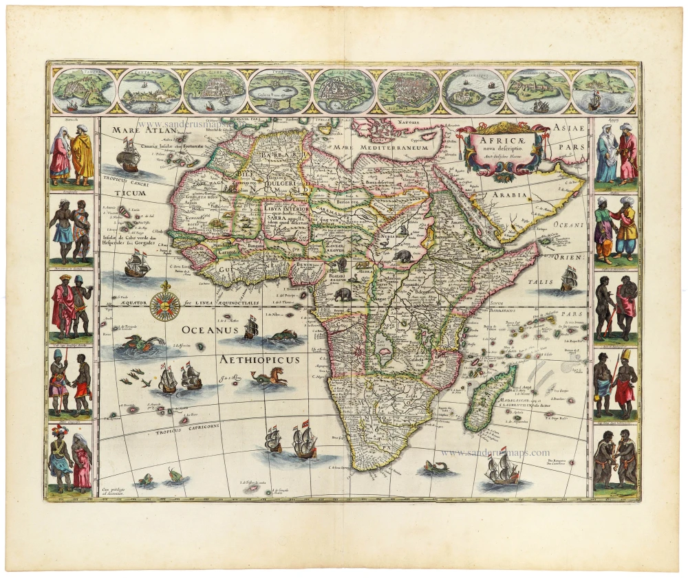
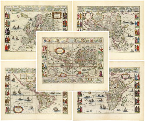
A magnificent, exceptionally decorative matching set of five maps by Willem Janszoon Blaeu, comprising the world and the four known continents: Europe, Asia, Africa, and America. Published in Joan Blaeu's Theatrum Orbis Terrarum in Amsterdam in 1644–1645, these beautifully engraved and originally hand-coloured maps represent some of the finest achievements of seventeenth-century Dutch cartography.
The five maps belong to Blaeu's celebrated series of carte-à-figures, distinguished by their elaborate pictorial borders containing miniature town views, figures in regional costume, and allegorical representations. Together, they form an outstanding example of the combination of geographical scholarship, artistic refinement and technical excellence that characterised the Golden Age of Dutch mapmaking.
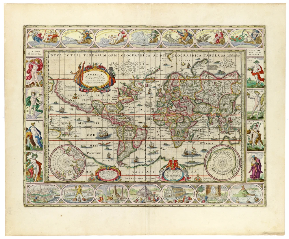
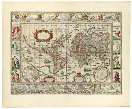
The World – Nova Totius Terrarum Orbis Geographica ac Hydrographica Tabula
First published in 1606 and later revised, Blaeu's celebrated world map is presented in Mercator projection, with the continents extending across the central composition. The map was engraved by Josua van den Ende and is dedicated to Cornelis Pietersz. Hooft, the influential Amsterdam merchant and burgomaster.
Its exceptionally elaborate decorative borders are among the most remarkable features of early seventeenth-century cartography. The upper border contains allegorical representations of the seven classical planets, while the left and right borders depict the four elements and the four seasons respectively. Along the lower border are illustrations of the Seven Wonders of the Ancient World.
Two circular polar projections occupy the lower corners of the geographical image, while numerous sailing ships, sea creatures and ornamental elements enliven the oceans. The geography reflects the continuing expansion of European knowledge, including Dutch navigators' discoveries in the Pacific and the still-incomplete representation of Australia.
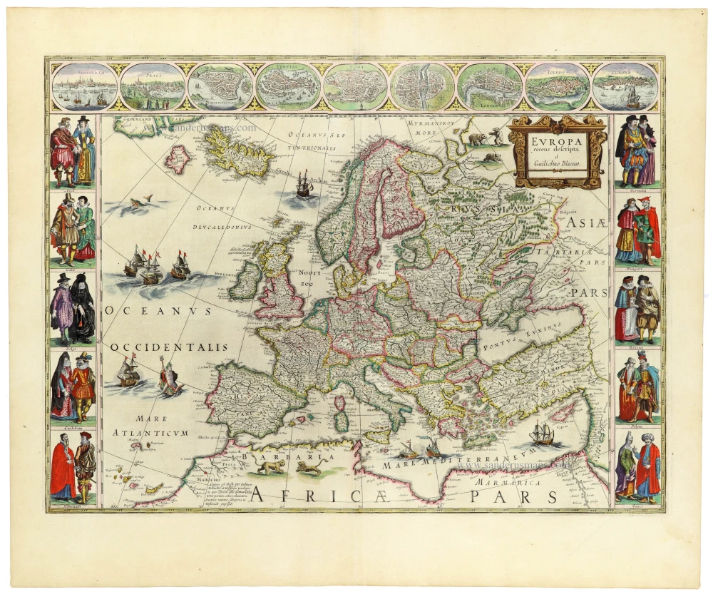
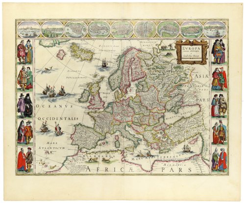
Europe – Europa recens descripta
Blaeu's celebrated map of Europe presents the continent in considerable geographical detail, extending from Iceland and the British Isles to Russia and the eastern Mediterranean.
The upper border contains nine finely engraved views of important European cities, while the vertical borders are decorated with figures in the traditional costumes of various European countries. These miniature illustrations provide a fascinating contemporary panorama of European urban life, fashion and cultural identity.
The geographical image is further embellished with sailing ships, sea creatures and an elegant title cartouche. The combination of detailed cartography and richly coloured pictorial decoration makes this one of Blaeu's most attractive maps of Europe.
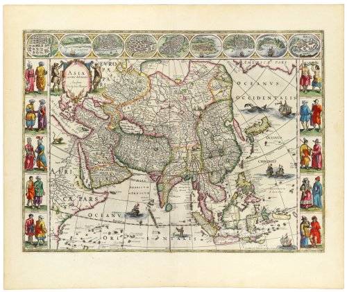
Asia – Asia noviter delineata
A splendid map of Asia, extending from the eastern Mediterranean and the Arabian Peninsula to Japan and the islands of Southeast Asia.
The geographical representation incorporates information derived from Portuguese and Dutch exploration and commerce, particularly in the Indian Ocean and the East Indies. The northern and eastern extremities of the continent remain imperfectly understood, reflecting the period's geographical uncertainties.
The upper border contains nine miniature views of Asian cities and places, while the side borders depict inhabitants of different regions in their characteristic costumes. Decorative sailing vessels and sea creatures appear in the surrounding oceans.
The map illustrates both the geographical ambitions of the Dutch East India Company era and the European fascination with Asia's peoples and cultures.
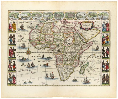
Africa – Africae nova descriptio
One of the most celebrated seventeenth-century maps of Africa, depicting the continent from the Mediterranean coast to the Cape of Good Hope, including Madagascar and the surrounding islands.
The map combines relatively accurate coastal information, derived from Portuguese and Dutch navigation, with traditional and frequently speculative representations of the African interior. Particularly notable are the sources of the Nile, represented according to geographical theories inherited from earlier cartographers.
The upper border contains nine miniature views of African towns and settlements, while the vertical borders show figures representing the inhabitants of different parts of the continent. The oceans are decorated with sailing ships, sea creatures and other maritime imagery.
The map is a particularly attractive example of the European geographical and ethnographical understanding of Africa during the first half of the seventeenth century.
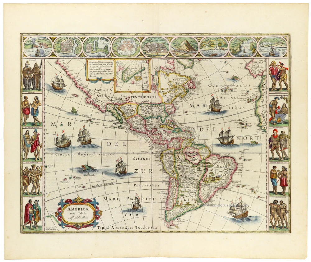
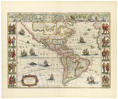
America – Americae nova Tabula
A magnificent map of North and South America, richly decorated with maritime scenes and elaborate pictorial borders.
North America is shown with the geographical uncertainties characteristic of the early seventeenth century, particularly along the Pacific coast and in the largely unexplored northwestern regions. California is represented as a peninsula, while the Great Lakes and much of the continental interior remain incompletely mapped.
South America is depicted with considerably greater coastal accuracy, reflecting the extensive Spanish and Portuguese exploration of the continent. The interior nevertheless retains numerous traditional geographical features and conjectural river systems.
The upper border contains nine miniature views of American towns and settlements, while the side borders depict Indigenous peoples in a variety of costumes and settings. The oceans are populated with sailing ships and sea creatures, contributing to the map's exceptionally decorative appearance.
Historical significance
Willem Janszoon Blaeu (1571–1638) was one of the foremost cartographers and globe-makers of the Dutch Golden Age. Originally trained in astronomy under Tycho Brahe, he established a highly successful cartographic publishing house in Amsterdam, which his son Joan Blaeu (1596–1673) later continued and greatly expanded.
The Blaeu publishing house became internationally renowned for the accuracy of its maps, the elegance of its engraving and the exceptional quality of its colouring and presentation. Its atlases were among the most prestigious geographical publications of the seventeenth century.
The present maps, published together in Joan Blaeu's Theatrum Orbis Terrarum of 1644–1645, form a particularly desirable ensemble. Their matching format, elaborate decorative borders and original hand-colouring create a remarkable visual unity.
A superb and highly desirable complete set of five originally hand-coloured maps, comprising Blaeu's celebrated world map and the four continents. The exceptionally decorative carte-à-figures borders, fine engraving and excellent condition make this an outstanding example of Dutch Golden Age cartography.
The Blaeus: Willem Janszoon, Cornelis & Joan
Willem Jansz. Blaeu and his son Joan Blaeu are the seventeenth century's most widely known cartographic publishers.
Willem Jansz. (also written Guilielmus Janssonius) = Willem Janszoon Blaeu was born in Uitgeest (Netherlands), near Alkmaar, in 1571. He studied mathematics under Tycho Brahe and learned the theory and practice of astronomical observations and the art of instrument- and globe-making.
In 1596, he came to Amsterdam, where he settled down as a globe-, instrument- and mapmaker. He published his first cartographic work (a globe) in 1599 and probably published his first printed map (a map of the Netherlands) in 1604. He specialised in maritime cartography, published the first edition of the pilot guide Het Licht der Zeevaert in 1608, and was appointed Hydrographer of the V.O.C. (United East India Company) in 1633. After publishing books, wall maps, globes, charts and pilot guides for thirty years, he brought out his first atlas, Atlas Appendix (1630). This was the beginning of the great tradition of atlas-making by the Blaeus.
In 1618, another mapmaker, bookseller and publisher, Johannes Janssonius, established himself in Amsterdam next door to Blaeu's shop. No wonder these two neighbours began accusing each other of copying and stealing their information and became fierce competitors who did not have a good word to say about each other. In about 1621 Willem Jansz. decided to end the confusion between his name and his competitor's and assumed his grandfather's nickname, 'blauwe Willem' ('blue Willem'), as the family name; after that, he called himself Willem Jansz. Blaeu.
Willem Janszoon Blaeu died in 1638, leaving his prospering business to his sons, Cornelis and Joan. We only know that Cornelis's name occurs in the prefaces of books and atlases until c. 1645.
Joan Blaeu, born in Amsterdam in 1596, became a partner in his father's book trade and printing business. 1638, he was appointed his father's successor in the Hydrographic Office of the V.O.C. His efforts culminated in the magnificent Atlas Major and the town books of the Netherlands and Italy – works unsurpassed in history and modern times, giving eternal fame to the name of the Blaeu's.
A fire ruined the business on February 23, 1672, and one year later, Dr. Joan Blaeu died. The fire and the director's passing caused the complete sale of the Blaeu House's stock. Five public auctions dispersed the remaining books, atlases, copperplates, globes, etc., among many other map dealers and publishers in Amsterdam. The majority was acquired by several booksellers acting in partnership.
In the succeeding years, the remaining printing department remained in the hands of the Blaeu family until 1695, when the printing house's inventory was sold at a public auction. That meant the end of the Blaeu family as a printing house of world renown.
Nova Totius Terrarum Orbis Geographica ac Hydrographica. + Europa recens descripta + Asia noviter delineata + Africae nova descriptio + Americae nova Tabula.
Item Number: 33410 new Authenticity Guarantee
Category: Antique maps > World
World & continents. A set of five maps by Willem Blaeu.
Title: Nova Totius Terrarum Orbis Geographica ac Hydrographica. + Europa recens descripta + Asia noviter delineata + Africae nova descriptio + Americae nova Tabula.
World: auct: Guiljelmo Blaeu; Ja. vanden Ende sculpsit.
Excudebat Gulielmus Blaeu Amsterodamiv sub signo Solarii deaurati.
Dedicated to Cornelis Petri F. Hooft by Guilj. Blaeuw.
Decorative borders with the seven planets (top), four elements (left), four seasons (right) and seven Wonders of the World (bottom).
Europe: à Guilielmo Blaeuw.
Asia: Auctore Guiljelmo Blaeuw.
Cum Illustr. Ord. Hollandiae privilegio decennali.
Africa: Auctore Guiljelmo Blaeuw.
Cum privilegio ad decennium.
America: Auct: Guiljelmo Blaeuw.
Cum privilegio decem annorum.
The four continents are framed by three decorative borders with towns (upper border) and costumes (left and right).
Date: 1644-45.
Copper engravings, printed on paper.
Image size: ± 415 x 550mm (16¼ x 21¾ inches).
Sheet size: 495 x 605mm (19½ x 23¾ inches).
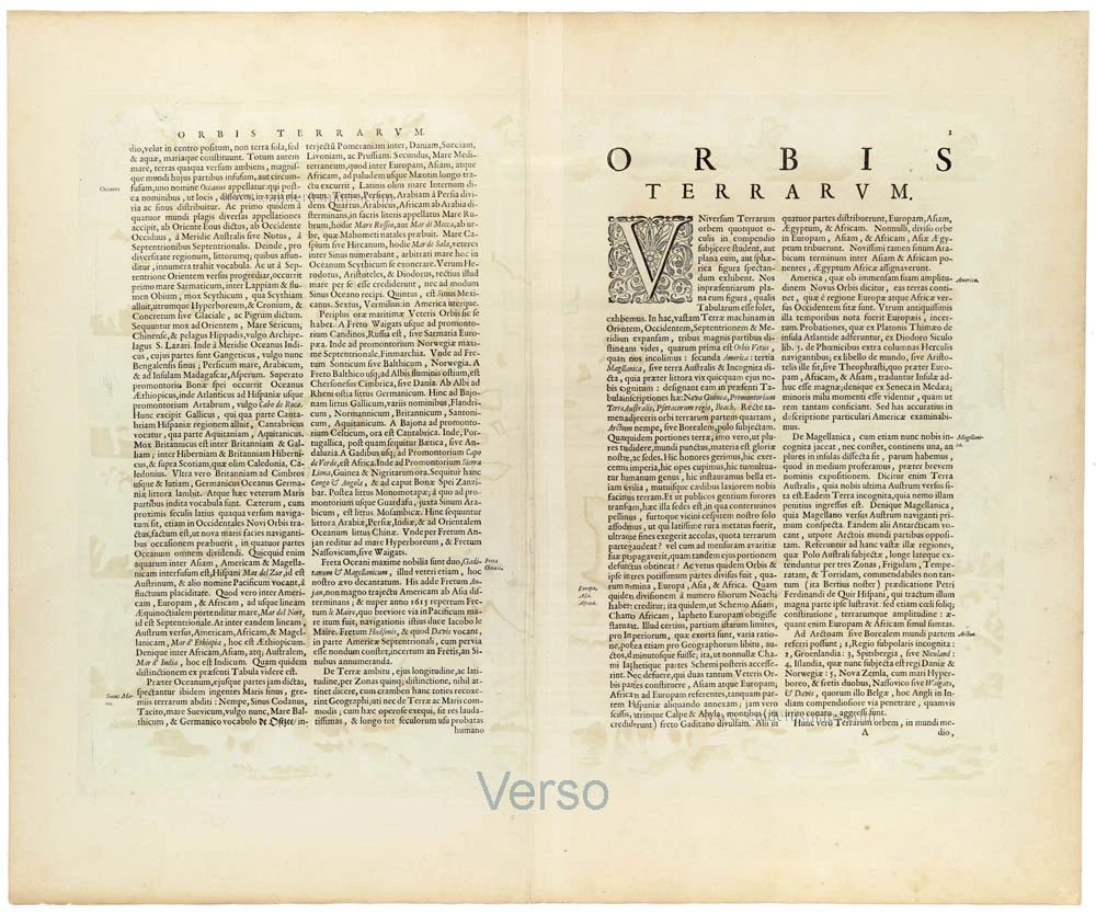
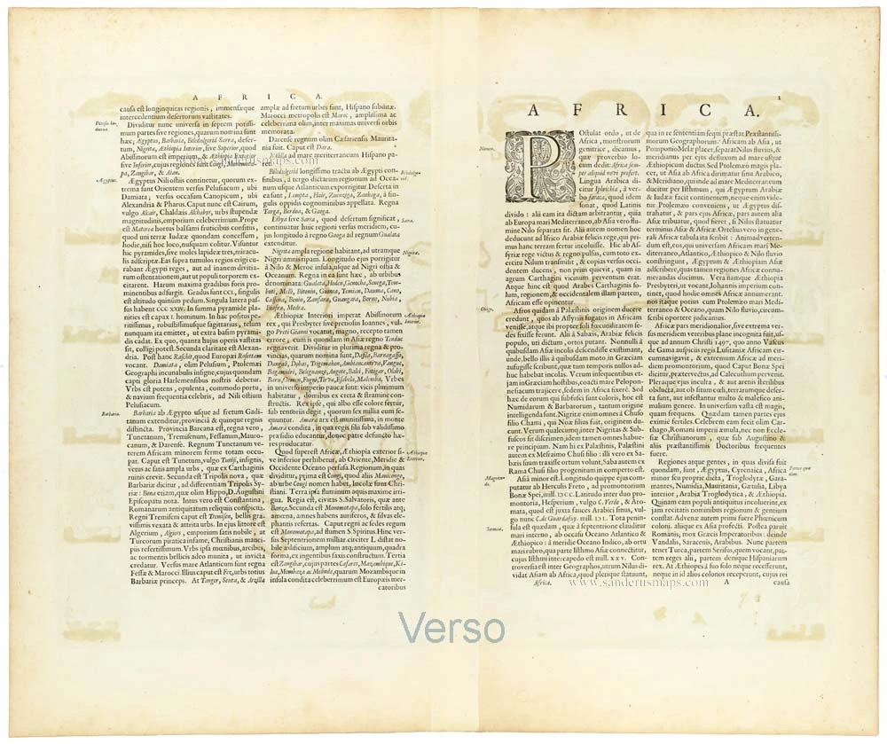
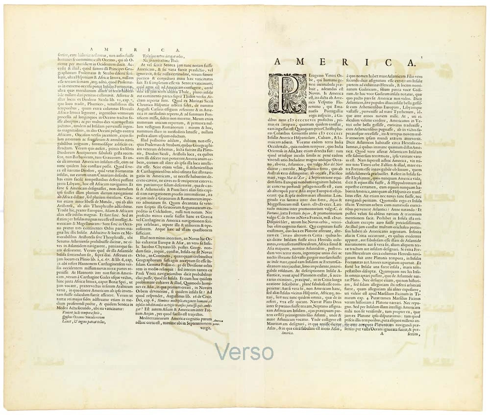
Verso: Latin text.
Condition: Original coloured, excellent. Very nice set.
Condition Rating: A+
From: Theatrum Orbis Terrarum.. J. Blaeu, 1644-45. (Van der Krogt 2, 2:202)
A magnificent, exceptionally decorative matching set of five maps by Willem Janszoon Blaeu, comprising the world and the four known continents: Europe, Asia, Africa, and America. Published in Joan Blaeu's Theatrum Orbis Terrarum in Amsterdam in 1644–1645, these beautifully engraved and originally hand-coloured maps represent some of the finest achievements of seventeenth-century Dutch cartography.
The five maps belong to Blaeu's celebrated series of carte-à-figures, distinguished by their elaborate pictorial borders containing miniature town views, figures in regional costume, and allegorical representations. Together, they form an outstanding example of the combination of geographical scholarship, artistic refinement and technical excellence that characterised the Golden Age of Dutch mapmaking.
The World – Nova Totius Terrarum Orbis Geographica ac Hydrographica Tabula
First published in 1606 and later revised, Blaeu's celebrated world map is presented in Mercator projection, with the continents extending across the central composition. The map was engraved by Josua van den Ende and is dedicated to Cornelis Pietersz. Hooft, the influential Amsterdam merchant and burgomaster.
Its exceptionally elaborate decorative borders are among the most remarkable features of early seventeenth-century cartography. The upper border contains allegorical representations of the seven classical planets, while the left and right borders depict the four elements and the four seasons respectively. Along the lower border are illustrations of the Seven Wonders of the Ancient World.
Two circular polar projections occupy the lower corners of the geographical image, while numerous sailing ships, sea creatures and ornamental elements enliven the oceans. The geography reflects the continuing expansion of European knowledge, including Dutch navigators' discoveries in the Pacific and the still-incomplete representation of Australia.
Europe – Europa recens descripta
Blaeu's celebrated map of Europe presents the continent in considerable geographical detail, extending from Iceland and the British Isles to Russia and the eastern Mediterranean.
The upper border contains nine finely engraved views of important European cities, while the vertical borders are decorated with figures in the traditional costumes of various European countries. These miniature illustrations provide a fascinating contemporary panorama of European urban life, fashion and cultural identity.
The geographical image is further embellished with sailing ships, sea creatures and an elegant title cartouche. The combination of detailed cartography and richly coloured pictorial decoration makes this one of Blaeu's most attractive maps of Europe.
Asia – Asia noviter delineata
A splendid map of Asia, extending from the eastern Mediterranean and the Arabian Peninsula to Japan and the islands of Southeast Asia.
The geographical representation incorporates information derived from Portuguese and Dutch exploration and commerce, particularly in the Indian Ocean and the East Indies. The northern and eastern extremities of the continent remain imperfectly understood, reflecting the period's geographical uncertainties.
The upper border contains nine miniature views of Asian cities and places, while the side borders depict inhabitants of different regions in their characteristic costumes. Decorative sailing vessels and sea creatures appear in the surrounding oceans.
The map illustrates both the geographical ambitions of the Dutch East India Company era and the European fascination with Asia's peoples and cultures.
Africa – Africae nova descriptio
One of the most celebrated seventeenth-century maps of Africa, depicting the continent from the Mediterranean coast to the Cape of Good Hope, including Madagascar and the surrounding islands.
The map combines relatively accurate coastal information, derived from Portuguese and Dutch navigation, with traditional and frequently speculative representations of the African interior. Particularly notable are the sources of the Nile, represented according to geographical theories inherited from earlier cartographers.
The upper border contains nine miniature views of African towns and settlements, while the vertical borders show figures representing the inhabitants of different parts of the continent. The oceans are decorated with sailing ships, sea creatures and other maritime imagery.
The map is a particularly attractive example of the European geographical and ethnographical understanding of Africa during the first half of the seventeenth century.
America – Americae nova Tabula
A magnificent map of North and South America, richly decorated with maritime scenes and elaborate pictorial borders.
North America is shown with the geographical uncertainties characteristic of the early seventeenth century, particularly along the Pacific coast and in the largely unexplored northwestern regions. California is represented as a peninsula, while the Great Lakes and much of the continental interior remain incompletely mapped.
South America is depicted with considerably greater coastal accuracy, reflecting the extensive Spanish and Portuguese exploration of the continent. The interior nevertheless retains numerous traditional geographical features and conjectural river systems.
The upper border contains nine miniature views of American towns and settlements, while the side borders depict Indigenous peoples in a variety of costumes and settings. The oceans are populated with sailing ships and sea creatures, contributing to the map's exceptionally decorative appearance.
Historical significance
Willem Janszoon Blaeu (1571–1638) was one of the foremost cartographers and globe-makers of the Dutch Golden Age. Originally trained in astronomy under Tycho Brahe, he established a highly successful cartographic publishing house in Amsterdam, which his son Joan Blaeu (1596–1673) later continued and greatly expanded.
The Blaeu publishing house became internationally renowned for the accuracy of its maps, the elegance of its engraving and the exceptional quality of its colouring and presentation. Its atlases were among the most prestigious geographical publications of the seventeenth century.
The present maps, published together in Joan Blaeu's Theatrum Orbis Terrarum of 1644–1645, form a particularly desirable ensemble. Their matching format, elaborate decorative borders and original hand-colouring create a remarkable visual unity.
A superb and highly desirable complete set of five originally hand-coloured maps, comprising Blaeu's celebrated world map and the four continents. The exceptionally decorative carte-à-figures borders, fine engraving and excellent condition make this an outstanding example of Dutch Golden Age cartography.
The Blaeus: Willem Janszoon, Cornelis & Joan
Willem Jansz. Blaeu and his son Joan Blaeu are the seventeenth century's most widely known cartographic publishers.
Willem Jansz. (also written Guilielmus Janssonius) = Willem Janszoon Blaeu was born in Uitgeest (Netherlands), near Alkmaar, in 1571. He studied mathematics under Tycho Brahe and learned the theory and practice of astronomical observations and the art of instrument- and globe-making.
In 1596, he came to Amsterdam, where he settled down as a globe-, instrument- and mapmaker. He published his first cartographic work (a globe) in 1599 and probably published his first printed map (a map of the Netherlands) in 1604. He specialised in maritime cartography, published the first edition of the pilot guide Het Licht der Zeevaert in 1608, and was appointed Hydrographer of the V.O.C. (United East India Company) in 1633. After publishing books, wall maps, globes, charts and pilot guides for thirty years, he brought out his first atlas, Atlas Appendix (1630). This was the beginning of the great tradition of atlas-making by the Blaeus.
In 1618, another mapmaker, bookseller and publisher, Johannes Janssonius, established himself in Amsterdam next door to Blaeu's shop. No wonder these two neighbours began accusing each other of copying and stealing their information and became fierce competitors who did not have a good word to say about each other. In about 1621 Willem Jansz. decided to end the confusion between his name and his competitor's and assumed his grandfather's nickname, 'blauwe Willem' ('blue Willem'), as the family name; after that, he called himself Willem Jansz. Blaeu.
Willem Janszoon Blaeu died in 1638, leaving his prospering business to his sons, Cornelis and Joan. We only know that Cornelis's name occurs in the prefaces of books and atlases until c. 1645.
Joan Blaeu, born in Amsterdam in 1596, became a partner in his father's book trade and printing business. 1638, he was appointed his father's successor in the Hydrographic Office of the V.O.C. His efforts culminated in the magnificent Atlas Major and the town books of the Netherlands and Italy – works unsurpassed in history and modern times, giving eternal fame to the name of the Blaeu's.
A fire ruined the business on February 23, 1672, and one year later, Dr. Joan Blaeu died. The fire and the director's passing caused the complete sale of the Blaeu House's stock. Five public auctions dispersed the remaining books, atlases, copperplates, globes, etc., among many other map dealers and publishers in Amsterdam. The majority was acquired by several booksellers acting in partnership.
In the succeeding years, the remaining printing department remained in the hands of the Blaeu family until 1695, when the printing house's inventory was sold at a public auction. That meant the end of the Blaeu family as a printing house of world renown.
Related items

Aevi Veteris, Typus Geographicus 1595
Old, antique map of Ancient World by Ortelius A.
[Item number: 6684]
The engraving and layout and elegance of decoration are all of the highest standards.
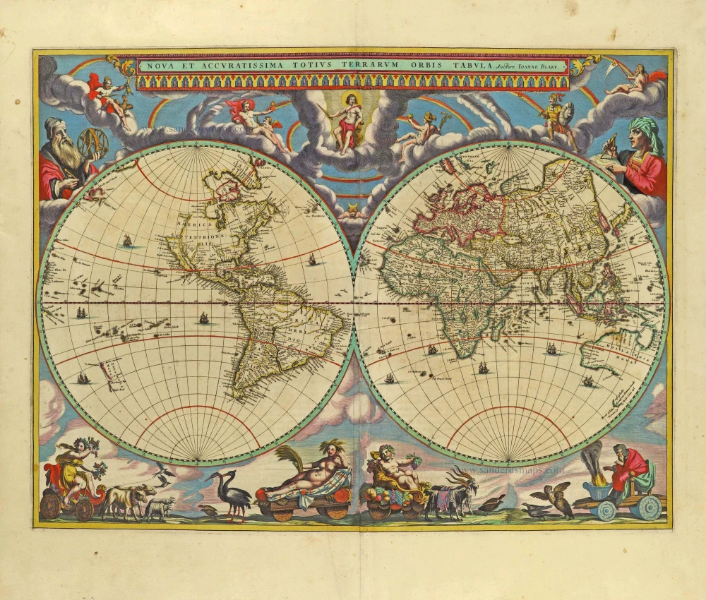
Nova Et Accuratissima Totius Terrarum Orbis Tabula. 1659
World by Joan Blaeu, double hemisphere.
[Item number: 28336]
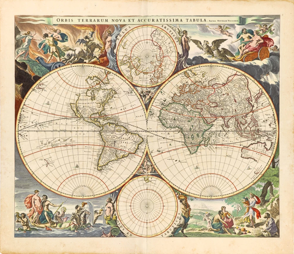
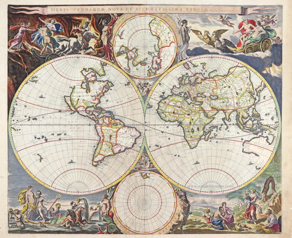
Orbis Terrarum Nova et Accuratissima Tabula. 1658-1677
World by Nicolaas Visscher, double hemisphere.
[Item number: 28628]

A fine ornate example of the decorative cartography of the time.
Nova Totius Terrarum Orbis Geographica ac Hydrographica Tabula. Auct: Henr: Hondio. 1641
Double-hemisphere world map by Henricus Hondius.
[Item number: 28768]
Luxury colouring.
Orbis Terrarum Nova et Accuratissima Tabula. 1658-77
Double-hemisphere world map, by Nicolaas Visscher I.
[Item number: 28934]
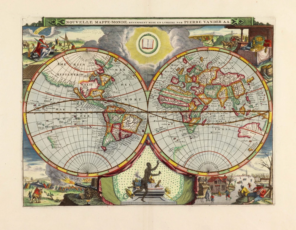
Nouvelle Mappe-Monde, 1710
World by Pieter Van der Aa, double hemisphere.
[Item number: 29136]

Nova Orbis Tabula in Lucem Edita, A. F. De Wit. c. 1690
World by Frederik De Wit, double hemisphere.
[Item number: 29231]
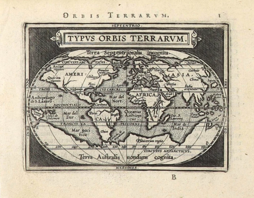
Typus Orbis Terrarum. 1589
The world by Abraham Ortelius / Philippe Galle.
[Item number: 29605]

'One of the supreme examples of map maker's art' (Shirley)
Nova Totius Terrarum Orbis Geographica ac Hydrographica. 1643
World by Willem Blaeu, in Mercator projection.
[Item number: 30271]
Rare 1525 edition in nice old colour.
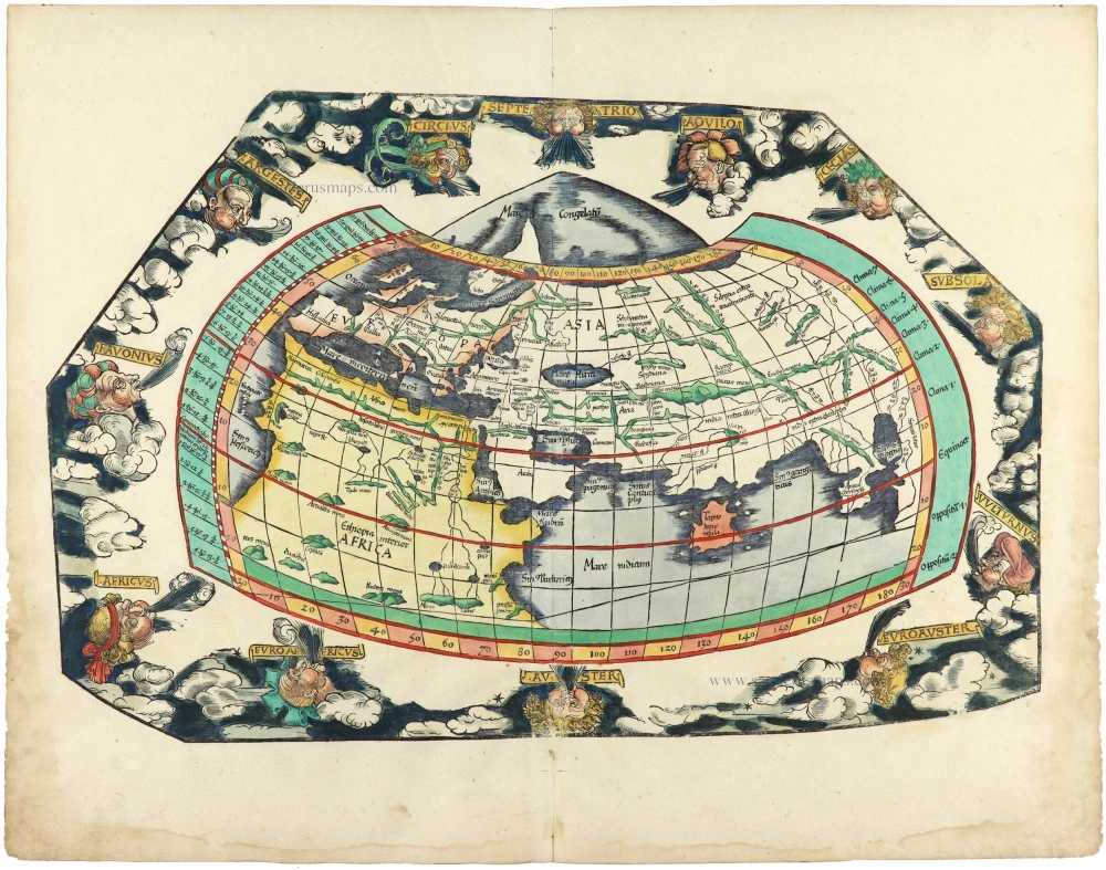
[No title] 1525
Ptolemaic world by Lorenz Fries after Martin Waldseemüller.
[Item number: 30649]
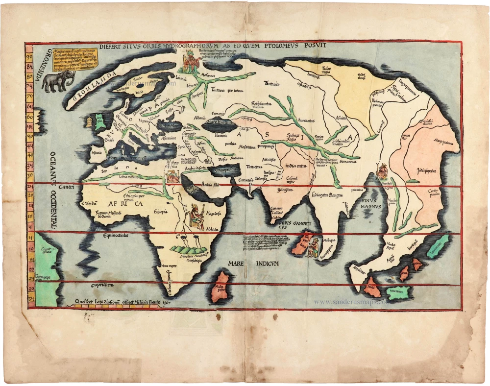
Rare 1525 edition of the second modern world map by Fries, in nice old colour.
Diefert Situs Orbis Hydrographorum Ab Eo Quem Ptolomeus Posuit. 1525
Modern world map, by Lorenz Fries, after Martin Waldseemüller.
[Item number: 30661]

A VERY RARE FIRST STATE OF TAVERNIER'S MAGNIFICENT DOUBLE-HEMISPHERE WORLD MAP, 1630
Nova Totius Terrarum Orbis Geographica ac Hydrographica auct: Iud: Hondio. 1630
Double hemisphere world map by Jodocus Hondius, published by Melchior Tavernier.
[Item number: 30840]
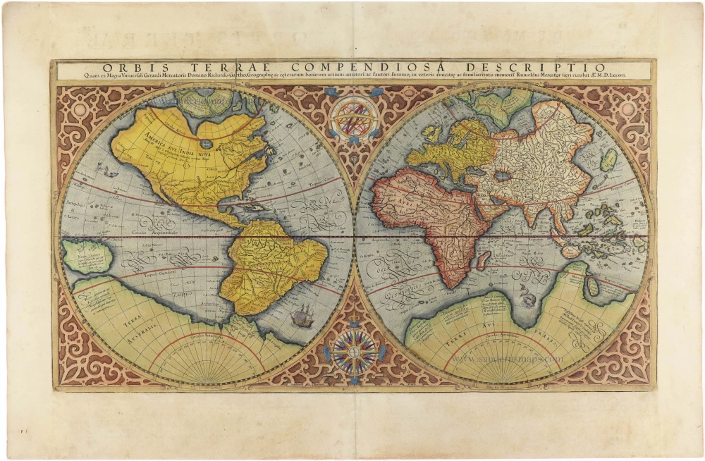
Orbis Terrae Compendiosa Descriptio. 1613
World by Mercator Rumold, double hemisphere.
[Item number: 30942]

Beautiful example of this important world map
Typus Orbis Terrarum. 1584
World by Abraham Ortelius.
[Item number: 32090]

Planiglobii Terrestris cum Utroq Hemisphaerio Caelesti Generalis Repraesentatio. 1712
World by Homann J.B., double hemisphere.
[Item number: 32099]

Rare title page of Purchas's Pilgrimes, with his portrait and worldmap
Hakluytus Posthumus, or Purchas His Pilgrimes 1625
Samuel Purchas ' title page with a world map and portrait
[Item number: 32417]
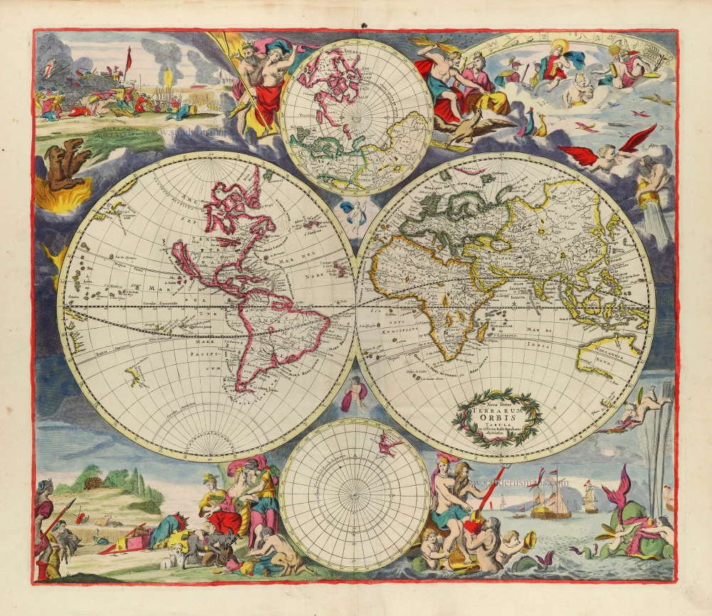
Rare first state of Danckerts beautiful world map
Nova Totius Terrarum Orbis Tabula. c. 1700
Double hemisphere world map by Justus Danckerts
[Item number: 32456]
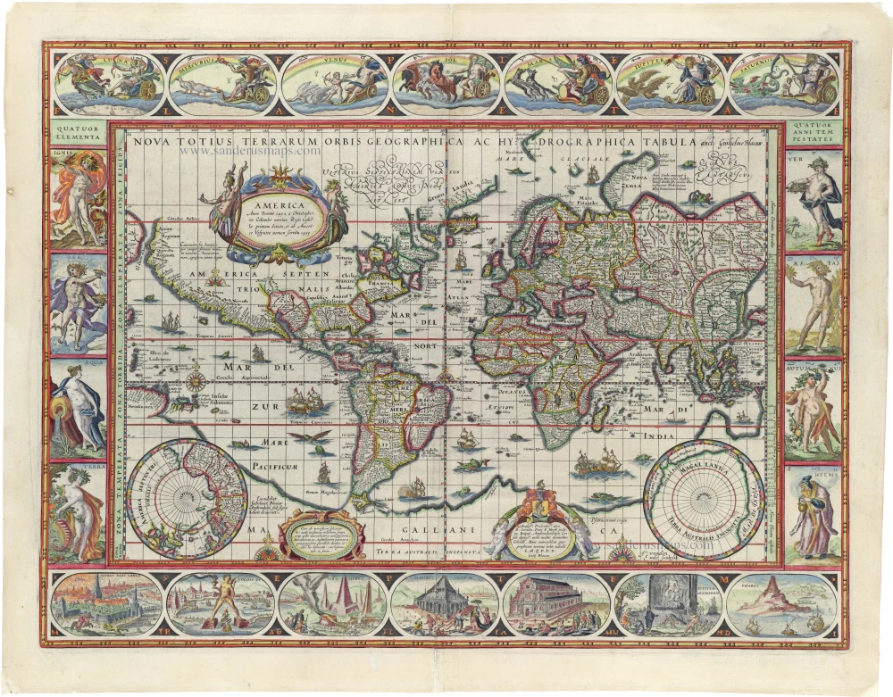
'One of the supreme examples of map maker's art' (Shirley)
Nova Totius Terrarum Orbis Geographica ac Hydrographica. 1635
World by Willem Blaeu, in Mercator projection.
[Item number: 32683]
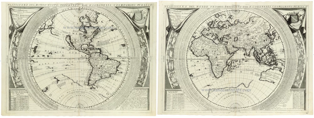
Planisfero del Mondo Nuovo, [in set with] Planisfero del Mondo Vecchio 1691
World - Set of two hemispheres by Coronelli V.M. (1650-1718
[Item number: 33302]
new