
World map in two hemispheres, by Petrus Schenk c. 1710
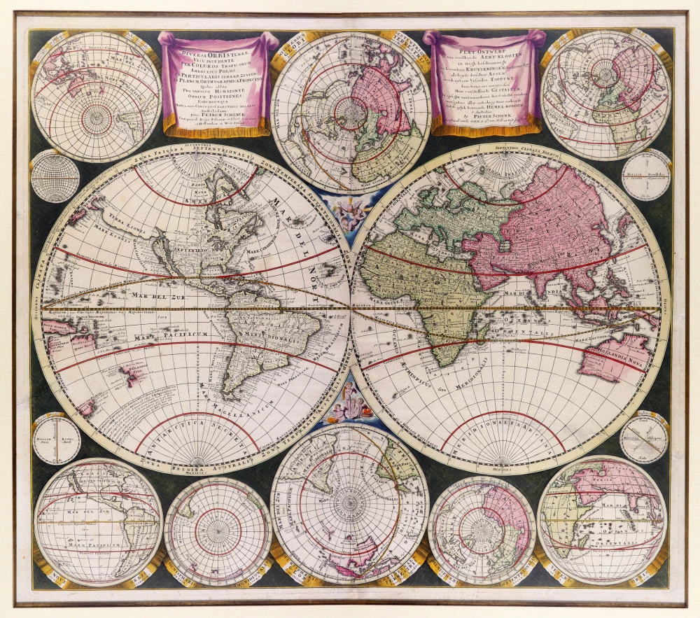
World map in two hemispheres, surrounded by eight smaller hemispheres projecting the world from various angles, and four small circular diagrams.
The Schenk Family
Petrus Schenk (1660-1718), the founder of one of the best-known publishing firms of Amsterdam in the 18th century, was born in Elberfeld, Germany, in 1660. He went to Amsterdam, where he became a pupil of the engraver Gerard Valck. On 19 Nov. 1686, a privilegio was granted to Petrus Schenk and Gerard Valk for the manufacturing and selling their prints—Schenk’s contribution to cartography dates from c. 1695. In 1706, he moved to the Vijgendam in Amsterdam, ‘in Sanson’s Atlas’. After he died in 1718, his son, Leonardus Schenk, continued the art and print shop. The second son, Petrus II (1693-1775), settled in another famous house: ‘in Visscher’s Atlas’, where he continued associating with Gerard and Leonarus Valck.
The Schenk family produced general geographical atlases and special atlases. Apart from seventy original maps, several hundred are known as Schenk, printed from plates obtained from Janssonius and Visscher. Schenk and Valck acquired all the plates of the Janssonius Heir’s Novus Atlas, including the Celestial Atlas. Many of Janssonius’ plates were reworked and amended.
Republishing maps from Janssonius’ Novus Atlas since c. 1680 was followed by engraving new maps copied from Sanson’s better and more modern maps. Petrus Schenk published these maps in his Atlas Contractus sive mapparum geographicarum Sansoniarum auctarum et correctum Nova Congeries, also called Atlas Minor. After 1719, Petrus Schenk II continued the Atlas Contractus.
Petrus Schenk, the elder, enjoyed great fame as a print seller and artist among art and print dealers in the whole of Europe. The great activity in map publishing, displayed by Petrus Schenk, the elder, was continued by his son and grandson. But the number of original atlas maps is small. Like his father, who bought the copperplates of Janssonius’ atlas, Petrus Schenk II bought many of the plates formerly owned by Nicolaas Visscher.
Apart from the globes, maps and atlases, Petrus Schenk II published many books. In 1733, he was older men of the booksellers guild in 1733.
Petrus Schenk Junior (1728-1803) was an engraver and artseller. He continued to publish many of the titles his father and grandfather issued, and the globes of his uncle Leonard Valk.
Diversa Orbis Terrae visu incedente per coluros tropicorum, ambos ejus polos, et particularis sphaerae zenith, in planum orthographica projectio ...
Item Number: 9477 Authenticity Guarantee
Category: Antique maps > World
World map in two hemispheres, by Petrus Schenk.
Title: Diversa Orbis Terrae visu incedente per coluros tropicorum, ambos ejus polos, et particularis sphaerae zenith, in planum orthographica projectio ...
Amstelodami penes Petrum Schenck, Cum privil. Regis Poloniae et Elect. Saxoniae et Hollandiae et West-Frisiae.
Second Dutch title at right.
Date of the first edition: 1706.
Date of this map: c. 1710.
Copper engraving, printed on paper.
Image size: 515 x 585mm (20¼ x 23 inches).
Sheet size: 790 x 865mm (31 x 34 inches).
Verso: Blank.
Condition: Original coloured, excellent, framed.
Condition Rating: A+.
From: Petri Schenkii Hecatompolis, sive Totius orbis Terrarum Oppida Nobiliora Centum; exquisite collecta atque eleganter depicta. Amsterdam, Petrus Schenk, 1702.
World map in two hemispheres, surrounded by eight smaller hemispheres projecting the world from various angles, and four small circular diagrams.
The Schenk Family
Petrus Schenk (1660-1718), the founder of one of the best-known publishing firms of Amsterdam in the 18th century, was born in Elberfeld, Germany, in 1660. He went to Amsterdam, where he became a pupil of the engraver Gerard Valck. On 19 Nov. 1686, a privilegio was granted to Petrus Schenk and Gerard Valk for the manufacturing and selling their prints—Schenk’s contribution to cartography dates from c. 1695. In 1706, he moved to the Vijgendam in Amsterdam, ‘in Sanson’s Atlas’. After he died in 1718, his son, Leonardus Schenk, continued the art and print shop. The second son, Petrus II (1693-1775), settled in another famous house: ‘in Visscher’s Atlas’, where he continued associating with Gerard and Leonarus Valck.
The Schenk family produced general geographical atlases and special atlases. Apart from seventy original maps, several hundred are known as Schenk, printed from plates obtained from Janssonius and Visscher. Schenk and Valck acquired all the plates of the Janssonius Heir’s Novus Atlas, including the Celestial Atlas. Many of Janssonius’ plates were reworked and amended.
Republishing maps from Janssonius’ Novus Atlas since c. 1680 was followed by engraving new maps copied from Sanson’s better and more modern maps. Petrus Schenk published these maps in his Atlas Contractus sive mapparum geographicarum Sansoniarum auctarum et correctum Nova Congeries, also called Atlas Minor. After 1719, Petrus Schenk II continued the Atlas Contractus.
Petrus Schenk, the elder, enjoyed great fame as a print seller and artist among art and print dealers in the whole of Europe. The great activity in map publishing, displayed by Petrus Schenk, the elder, was continued by his son and grandson. But the number of original atlas maps is small. Like his father, who bought the copperplates of Janssonius’ atlas, Petrus Schenk II bought many of the plates formerly owned by Nicolaas Visscher.
Apart from the globes, maps and atlases, Petrus Schenk II published many books. In 1733, he was older men of the booksellers guild in 1733.
Petrus Schenk Junior (1728-1803) was an engraver and artseller. He continued to publish many of the titles his father and grandfather issued, and the globes of his uncle Leonard Valk.
Related items

Aevi Veteris, Typus Geographicus. 1601
Ancient World by Abraham Ortelius.
[Item number: 22609]

Nouvelle Mappe Monde Dediee au Progres de nos Connoissances. 1776-79
World by Francesco Santini.
[Item number: 26946]

Universi Orbis Descriptio. 1597
World by Giovanni Magini
[Item number: 27837]
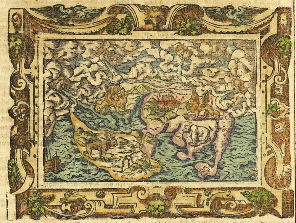
The most mystical world map of all time.
[No title] 1560-1600
Daniel's Dream Map. The Wittenberg world map.
[Item number: 28159]

Mappemonde en deux Hémisphères. c. 1797
World map, double hemisphere by Pierre Grégoire Chanlaire.
[Item number: 28209]

Mappe-Monde Physique. c. 1797
World map, double hemisphere by Pierre Grégoire Chanlaire.
[Item number: 28210]
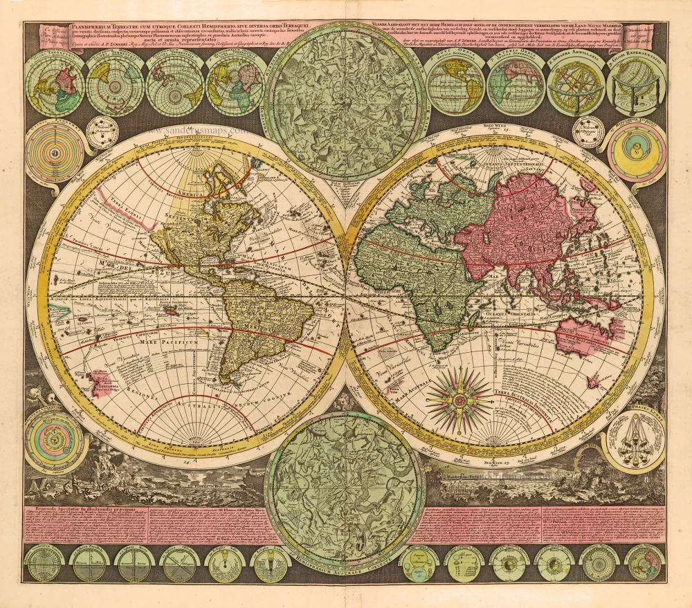
Planisphaerium Terrestre cum utroque Coelesti Hemisphaerio, sive Diversa Orbis Terraquei, c. 1730
World by Zürner A.F., double hemisphere.
[Item number: 28229]
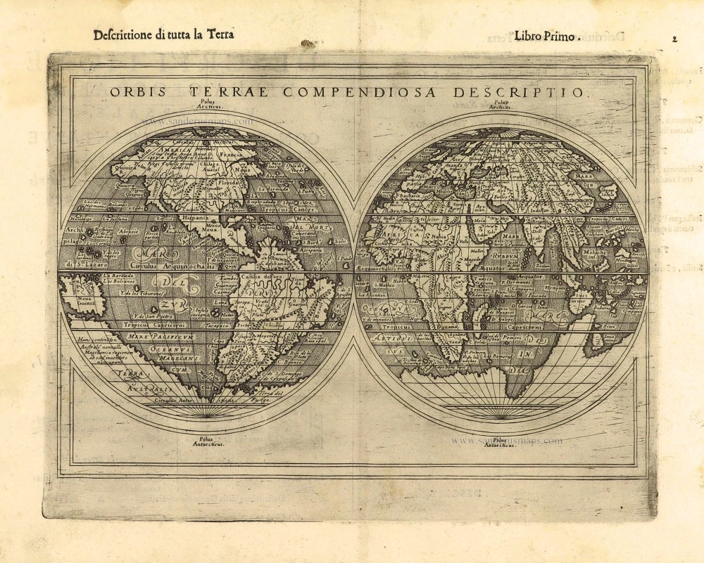
First edition, scarce
Orbis Terrae Compendiosa Descriptio. 1598
World by Giuseppe Rosaccio, double hemisphere.
[Item number: 28289]

Ptolemaei Cognita. 1598
Ptolemaic world map by Giuseppe Rosaccio.
[Item number: 28290]
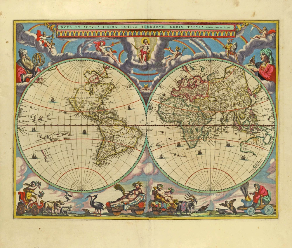
The engraving and layout and elegance of decoration are all of the highest standards.
Nova Et Accuratissima Totius Terrarum Orbis Tabula. 1659
World by Joan Blaeu, double hemisphere.
[Item number: 28336]
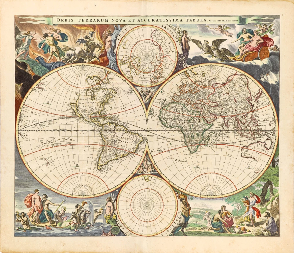
Orbis Terrarum Nova et Accuratissima Tabula. 1658-1677
World by Nicolaas Visscher, double hemisphere.
[Item number: 28628]

A fine ornate example of the decorative cartography of the time.
Nova Totius Terrarum Orbis Geographica ac Hydrographica Tabula. Auct: Henr: Hondio. 1641
Double-hemisphere world map by Henricus Hondius.
[Item number: 28768]

Descrittione Del Mappamondo. 1572
World by Porcacchi Tommaso.
[Item number: 28910]
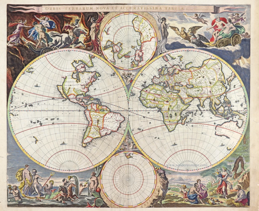
Luxury colouring.
Orbis Terrarum Nova et Accuratissima Tabula. 1658-77
Double-hemisphere world map, by Nicolaas Visscher I.
[Item number: 28934]
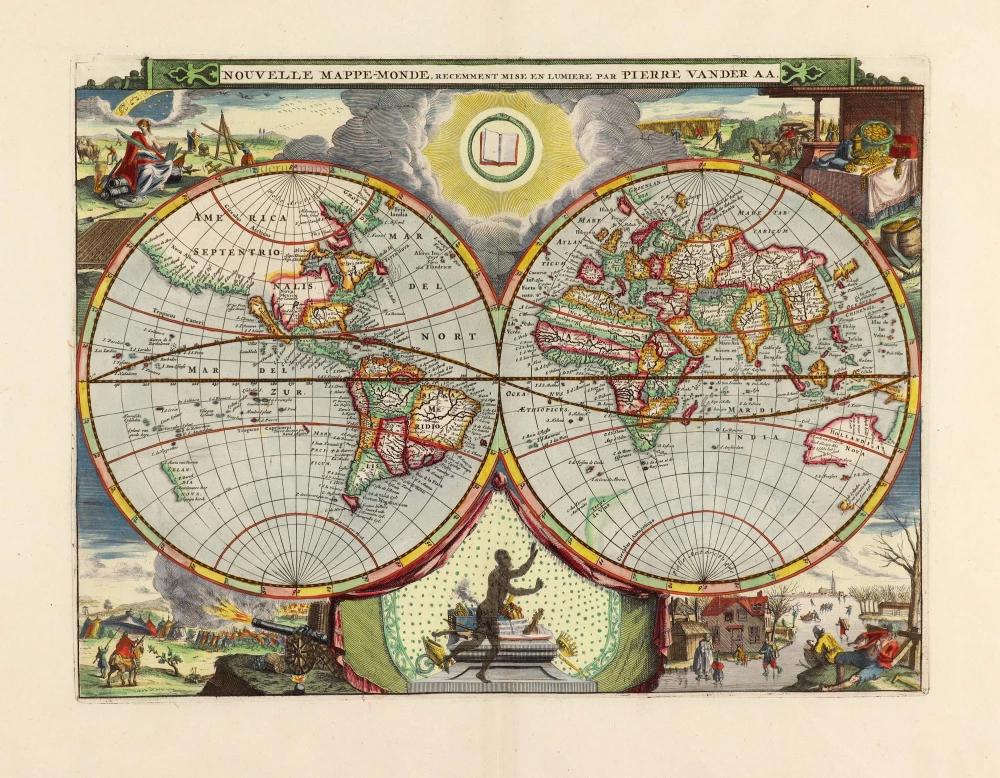
Nouvelle Mappe-Monde, 1710
World by Pieter Van der Aa, double hemisphere.
[Item number: 29136]

Nova Orbis Tabula in Lucem Edita, A. F. De Wit. c. 1690
World by Frederik De Wit, double hemisphere.
[Item number: 29231]

Mapmonde ou description generale du Globe Terrestre. 1713
World map by Zacharias Châtelain.
[Item number: 29555]
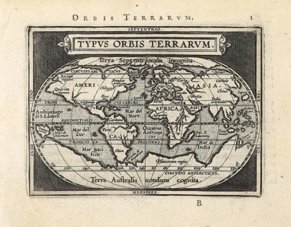
Typus Orbis Terrarum. 1589
The world by Abraham Ortelius / Philippe Galle.
[Item number: 29605]

Rare original colour.
Typus Orbis Terrarum - Globus Terrestris. 1609
Two world maps by A. Ortelius, published by J.B. Vrients.
[Item number: 29861]

Mappe-Monde 1766-1780
World map by Louis Brion de la Tour, published by L.C Desnos.
[Item number: 30100]
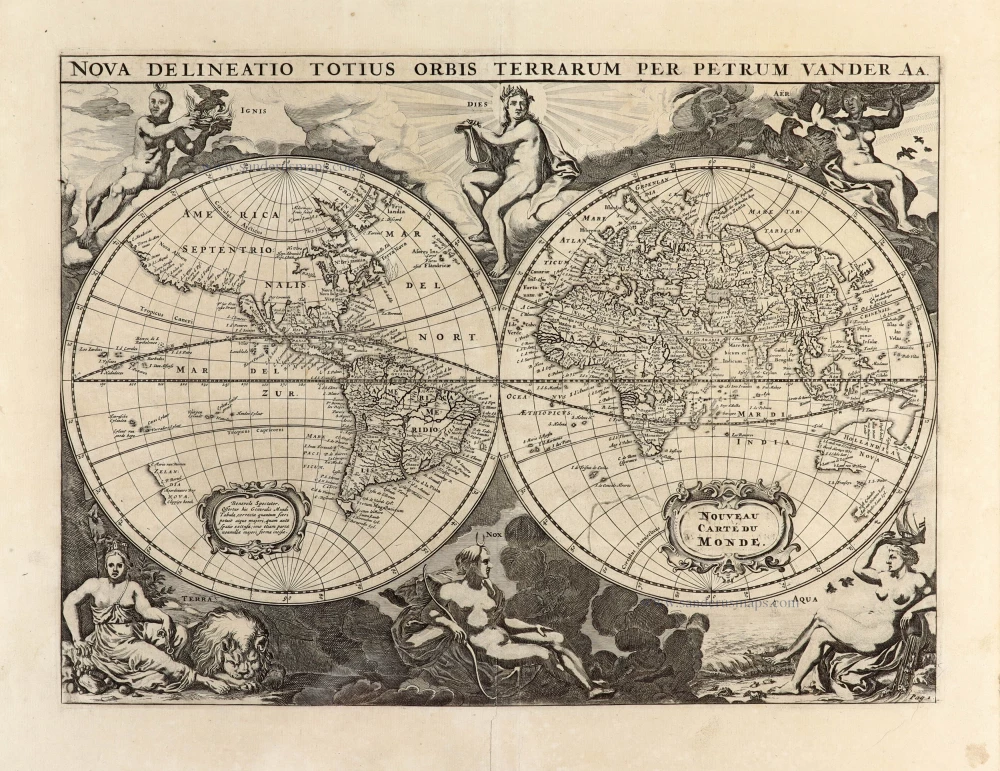
Nova Delineatio Totius Orbis Terrarum per Petrum Van der Aa. - Nouveau Carte du Monde. 1702
World by Pieter Van der Aa - double hemisphere.
[Item number: 30150]

Nouvelle Carte d'Angleterre, d'Ecosse et d'Irlande, avec des Instructions pour connoitre les differents etats de la Couronne d'Angleterre en Europe, Asie, Afrique, et Amérique. 1708
British Isles with a world map in two hemispheres, by Zacharias Châtelain.
[Item number: 30167]

'One of the supreme examples of map maker's art' (Shirley)
Nova Totius Terrarum Orbis Geographica ac Hydrographica. 1643
World by Willem Blaeu, in Mercator projection.
[Item number: 30271]

Superb old colouring, heightened with gold.
Orbis Terrarum Tabula Recens Emendata Et In Lucem Edita 1714
World - Double Hemisphere, by Daniel Stoopendaal
[Item number: 30635]
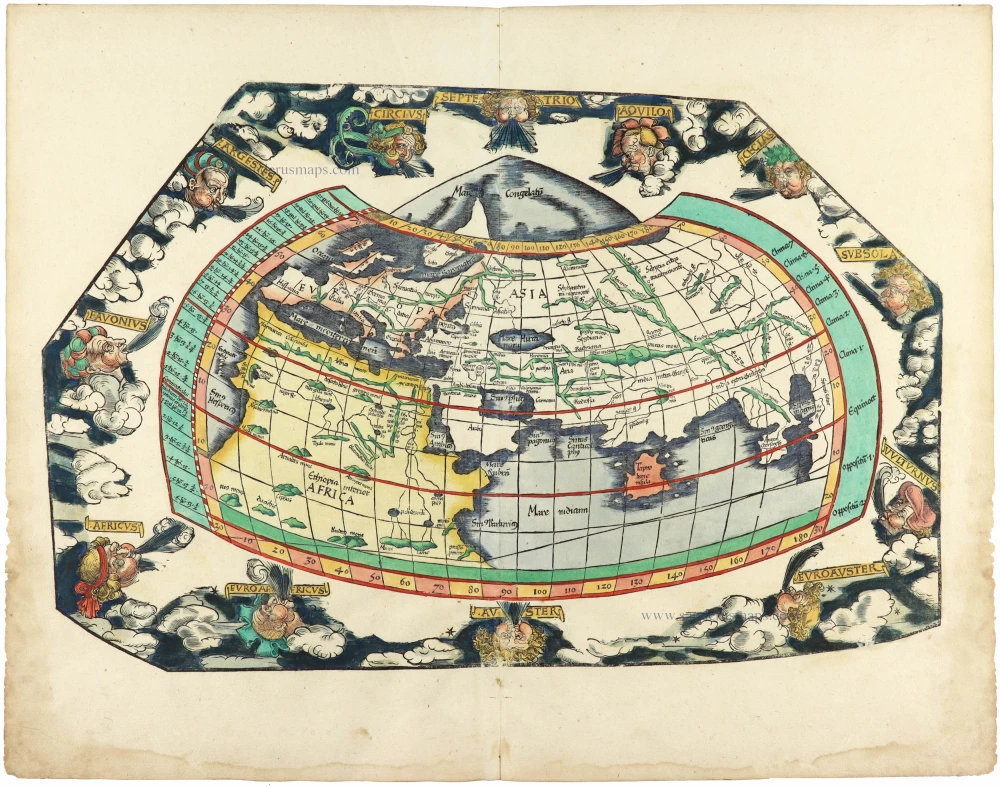
Rare 1525 edition in nice old colour.
[No title] 1525
Ptolemaic world by Lorenz Fries after Martin Waldseemüller.
[Item number: 30649]
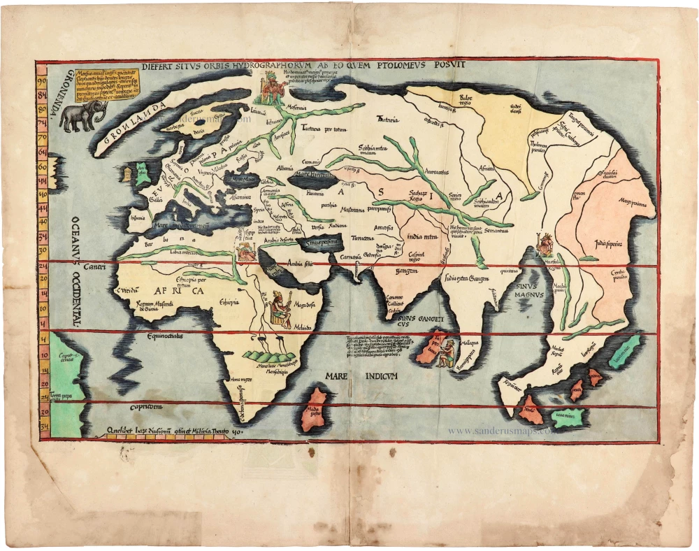
Rare 1525 edition of the second modern world map by Fries, in nice old colour.
Diefert Situs Orbis Hydrographorum Ab Eo Quem Ptolomeus Posuit. 1525
Modern world map, by Lorenz Fries, after Martin Waldseemüller.
[Item number: 30661]

Heightened in gold and silver
[No title] 1599
World by Theodore De Bry, Great Voyages,
[Item number: 30719]

Drake map heightened in gold and silver
[No title] 1599
World by Theodore De Bry, Great Voyages,
[Item number: 30725]
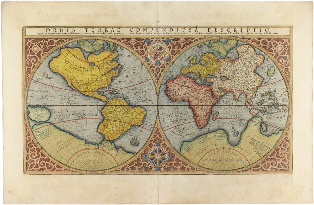
Orbis Terrae Compendiosa Descriptio. 1613
World by Mercator Rumold, double hemisphere.
[Item number: 30942]

Mappe-Monde Geo-Hydrographique, ou Description Generale du Globe Terrestre et Aquatique en Deux Plans-Hemispheres ... 1692
World map by Nicolas Sanson, so-called published by Hubert Jaillot. (Pirated edition by Pierre Mortier).
[Item number: 31136]

Typus Orbis Terrarum. 1618
World by Petrus Bertius, published by Jodocus Hondius II.
[Item number: 31520]

Gottfried's first edition 1631
[no title] 1631
Willem C. Schouten, world map published by Gottfried.
[Item number: 31560]

Rare first edition
[no title] 1618
World map in two hemispheres by Willem W. Schouten.
[Item number: 31601]
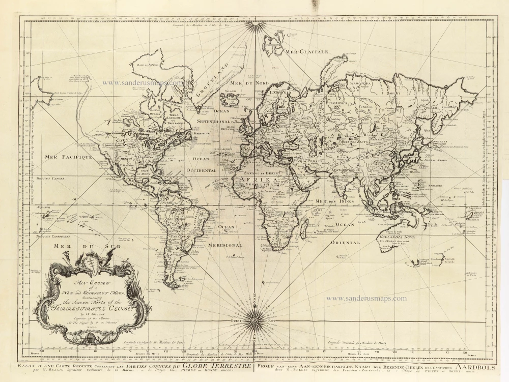
An Essay of a New and Compact Map, containing the known parts of the Terrestrial Globe. 1750
World map by Jacques-Nicolas Bellin, published by A.F. Prévost.
[Item number: 31883]

Beautiful example of this important world map
Typus Orbis Terrarum. 1584
World by Abraham Ortelius.
[Item number: 32090]

Planiglobii Terrestris cum Utroq Hemisphaerio Caelesti Generalis Repraesentatio. 1712
World by Homann J.B., double hemisphere.
[Item number: 32099]
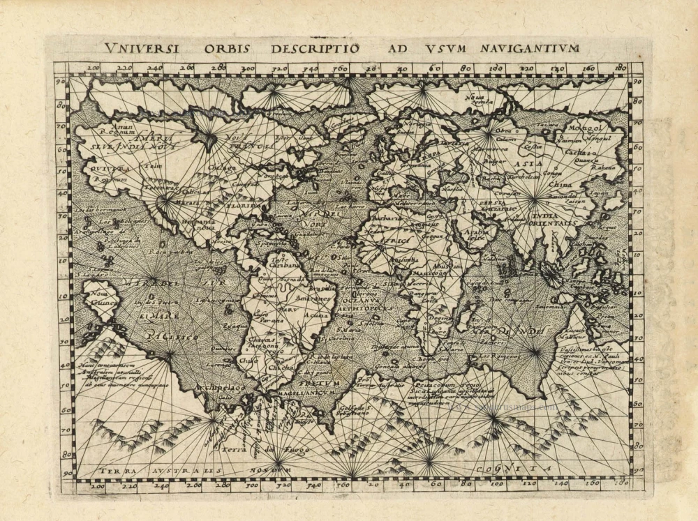
Early Mercator projection
Universi Orbis Descriptio Ad Usum Navigantium. 1597
World by Giovanni Magini.
[Item number: 32281]

Rare title page of Purchas's Pilgrimes, with his portrait and worldmap
Hakluytus Posthumus, or Purchas His Pilgrimes 1625
Samuel Purchas ' title page with a world map and portrait
[Item number: 32417]

Carta Marina Nuova Tavola. 1574
World chart by Girolamo Ruscelli.
[Item number: 32432]
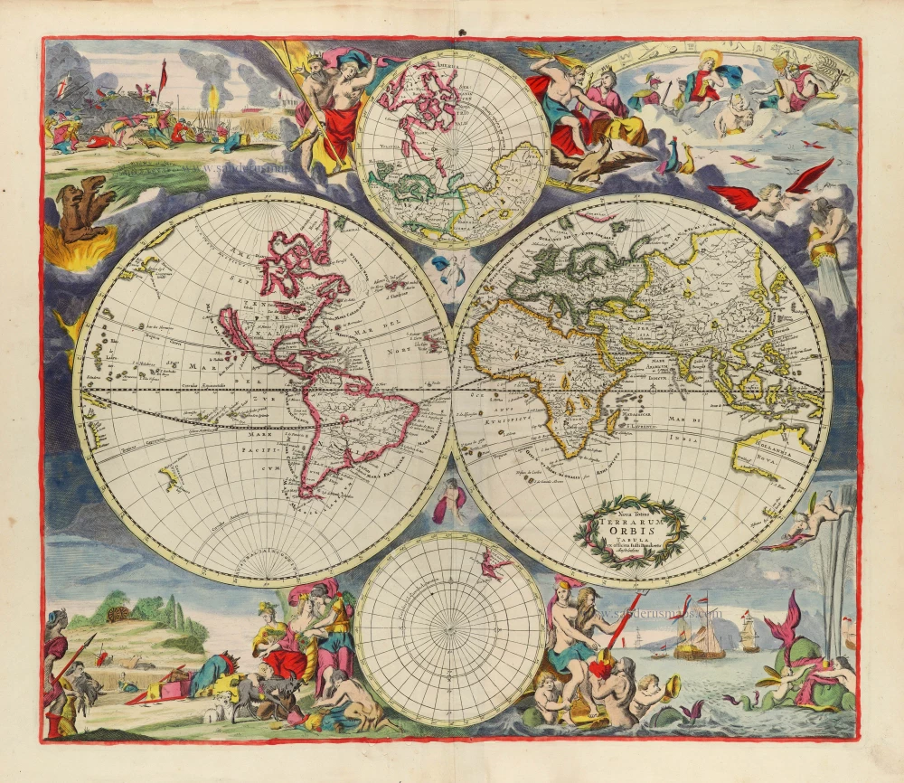
Rare first state of Danckerts beautiful world map
Nova Totius Terrarum Orbis Tabula.. c. 1680
Double hemisphere world map by Justus Danckerts
[Item number: 32456]

The most mystical world map of all time.
[No title] 1560-1600
Daniel's Dream Map. The Wittenberg world map by Hanss Luft.
[Item number: 32507]
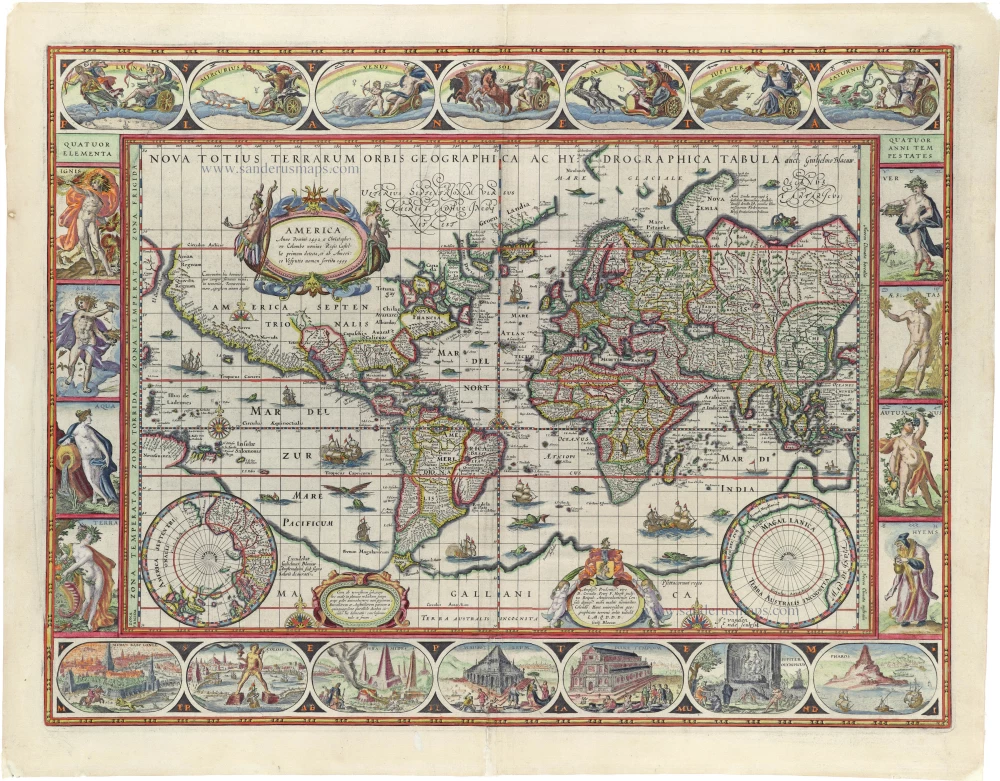
'One of the supreme examples of map maker's art' (Shirley)
Nova Totius Terrarum Orbis Geographica ac Hydrographica. 1635
World by Willem Blaeu, in Mercator projection.
[Item number: 32683]
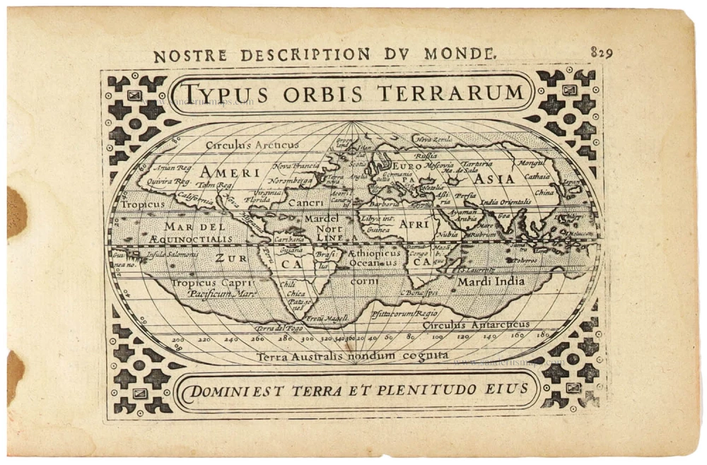
Typus Orbis Terrarum. 1618
World by Petrus Bertius.
[Item number: 33183]
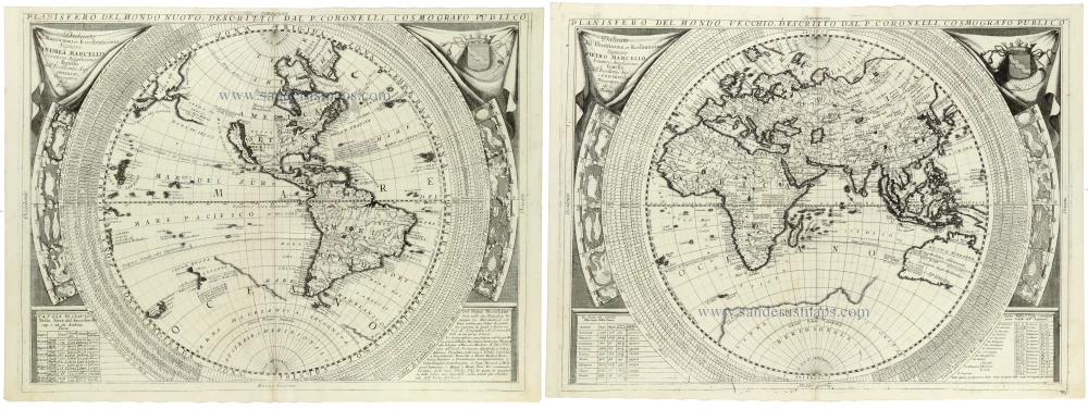
Planisfero del Mondo Nuovo, [in set with] Planisfero del Mondo Vecchio 1691
World - Set of two hemispheres by Coronelli V.M. (1650-1718
[Item number: 33302]
new