
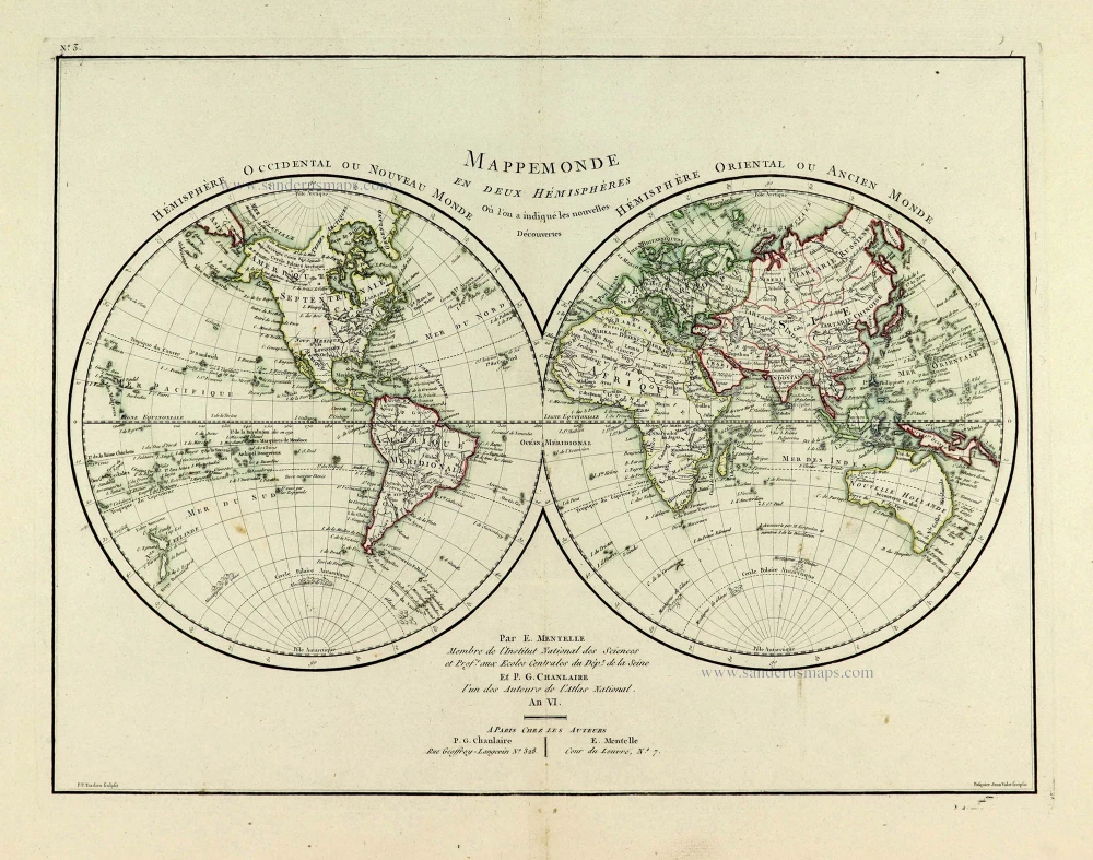
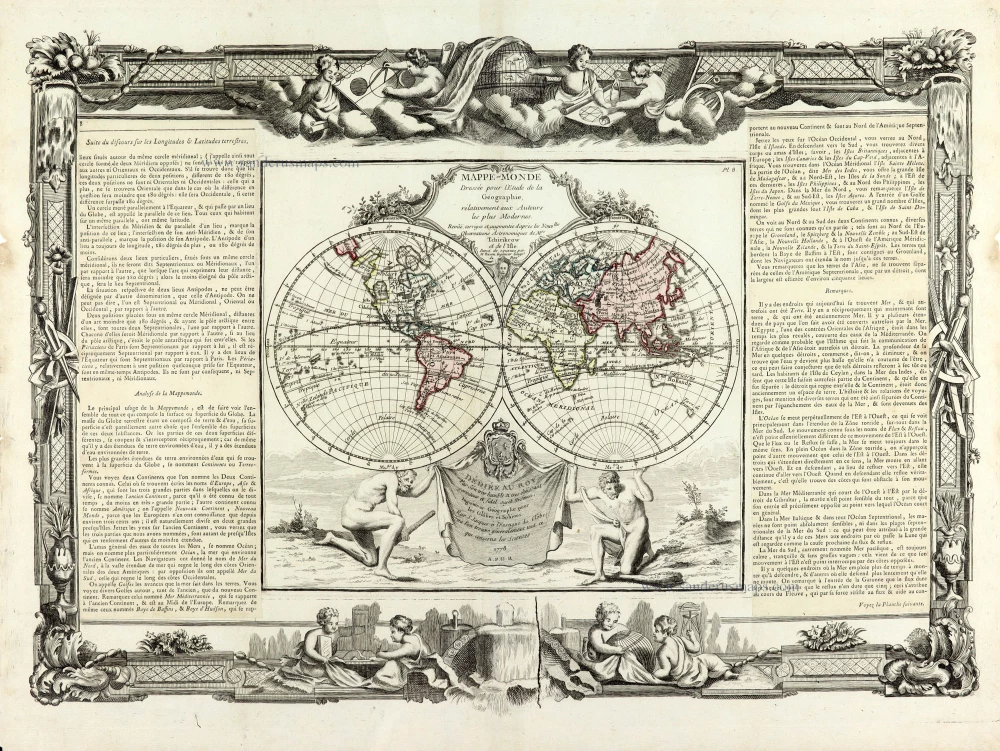
World in two hemispheres by Pieter Mortier. 1705-1711
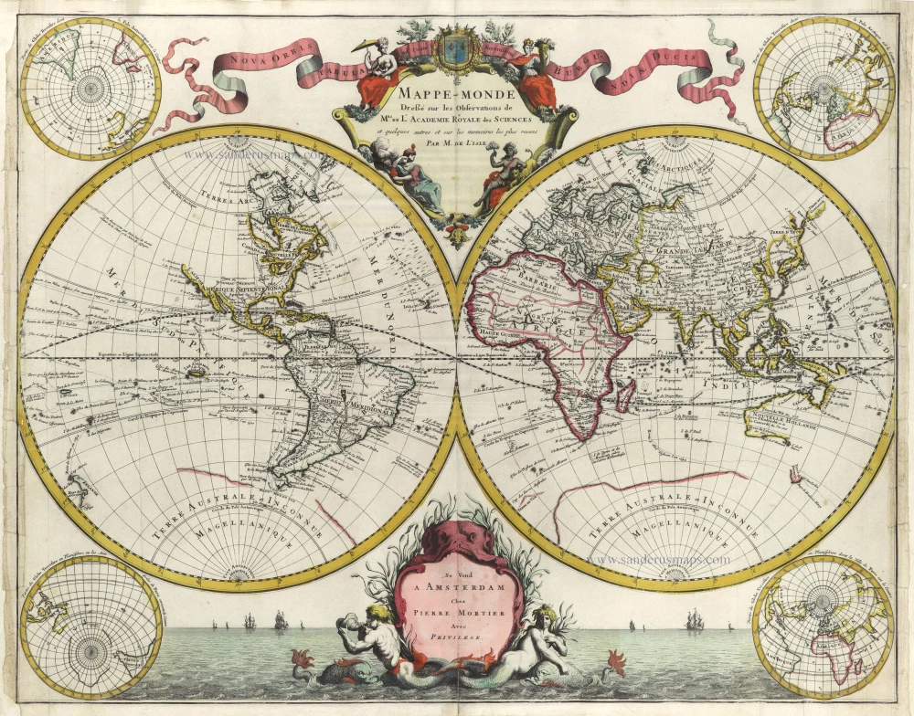


In his world map, Delisle was one of the first to correct the extended length of the Mediterranean and give back to California its true peninsular formation.
Delisle's world map was revised several times in common with his other maps. This later edition shows further alterations, and this version was republished many times throughout the eighteenth century. Outside of France, other cartographers recognised Delisle's superior work.
Covens & Mortier. A Map Publishing House in Amsterdam. 1721-1866.
During almost two centuries, the largest and most important Dutch publishing house in commercial cartography was the Amsterdam firm of Covens & Mortier. Concerning quantity, it was possibly even the biggest contemporary map-trading house worldwide. They distributed innumerable maps, atlases, globes, and books.
Pieter (Pierre) Mortier (Leiden, 1661 – Amsterdam, 1711)
Nothing is known about the youth of Pieter Mortier. He studied in Paris from 1681 to approximately 1685. There he must have come into contact with French 'libraires' and learned the bookselling trade. Beginning 1685 he returned to Amsterdam where he opened a small bookshop. In the same year, he became a member of the Book, Art Sellers' and Printers' guild.
Pieter sold books in Dutch and foreign languages, but he also published books on his own, usually in the French language. His business flourished such that in 1688 he was already forced to rent another house on the Vijgendam.
Pieter Mortier's first privilege for maps was granted by the States of Holland and West Friesland on September 15 1690. It refers to the maps of Sanson that he 'is printing and correcting with great pains and care'.
Pieter began the large scale publication of maps and atlases. By the beginning of the 18th century, Pieter had become so wealthy that he could purchase three houses in Amsterdam: on the Beurssluis, on the Vijgendam, and the Heremietensteeg. He rebuilt the house on the Vijgendam into a large prestigious house that would serve for over a century as a shop, business, and residential structure for Covens & Mortier's publishing house.
He died on February 13, 1711, after a brief illness. The company continued to exist under Pieter's widow's management, Amelia' s-Gravesande.
After she died in 1719, her son Cornelis, took over the management for a few years.
On November 20, 1721, a company was founded by Cornelis Mortier and Johannes Covens I. The latter was married the same year with Cornelis's sister. From that year on, the name of :
Covens & Mortier.
Their firm would see a massive expansion in the next 140 years. In 1732 the heirs sold the property to their brother Cornelis and his partner Covens. Their main competitors were Reinier & Josua Ottens and Gerard Valck & Petrus Schenck. After the death of Johannes Covens I (1774), his son Johannes Covens II (1722-1794) entered the business. From 1778, Johannes added a new company name :
J. Covens & Son.
Johannes Covens II was succeeded by his son Cornelis Covens (1764-1825), who, in turn, brought Peter Mortier IV, the great-grandson of Petrus Mortier I, into the business. The name was from 1794 to 1866:
Mortier, Covens & Son.
The last Covens in the series was Cornelis Johannes Covens (1806-1880).
Covens & Mortier had a large stock of atlases and maps, including those of: Delisle, Jaillot, Johannes Janssonius, Sanson, Claes Jansz. Visscher, Nicolaas Visscher, and Frederik de Wit. For decades, an impressive number of atlases came from the press.
Guillaume Delisle (Paris, 1675 – 1726)
Guillaume Delisle (de L’Isle), one of the key figures in the development of French cartography, is the son of Claude Delisle, a cartographer, and the half-brother of astronomers Joseph-Nicolas Delisle and Louis de l'Isle de la Croyère.
While his father has to be given credit for educating Guillaume, the boy showed early signs of being an exceptional talent. He soon contributed to the family workshop by drawing maps for his father's historical works. To perfect his skills, Guillaume Delisle became the student of the astronomer Jean-Dominique Cassini. Early on, he produced high-quality maps, the first being his Carte de la Nouvelle-France et des Pays Voisins in 1696. Delisle's first atlas appeared around 1700, and in 1702 he became a member of the French Académie Royale des Sciences. He taught geography to the young Louis XV, and in 1718 he received the title of Premier Géographe du Roi. On a commission from Peter the Great, he produced a map of the Caspian Sea, a region barely known. Many of the place names he gave are still in use. His Carte de la Louisiane et du cours du Mississippi (1718) is the first detailed map of this region.
A six-year-long plagiarism trial pits Delisle against Jean-Baptiste Nolin, cartographer. It is Nolin, the real plagiarist, who loses.
Delisle has remained famous for his astronomical-based corrections and the completeness of its topography. The high scientific quality of the work produced by the Delisle family contrasted with the workshop of Sanson. While Sanson knowingly published outdated facts and mistakes, Delisle constantly updated his maps to reflect widening knowledge of the world.
Mappe-Monde Dreßé sur les Observations de Mrs. de l'Academie Royale des Sciences et quelques autres et sur les memoires les plus recens.
Item Number: 29509 Authenticity Guarantee
Category: Antique maps > World and Polar
Old, antique world map by G. Delisle, published by Pierre Mortier.
Later edition of Delisle's map of 1700 with the addition of 4 polar projections in corners.
Title: Mappe-Monde Dreßé sur les Observations de Mrs. de l'Academie Royale des Sciences et quelques autres et sur les memoires les plus recens.
Par M. de L'Isle.
Se vend à Amsterdam Chez Pierre Mortier.
Avec Privilege.
Cartographer: Guillaume Delisle..
Date: 1705-1711.
Copper engraving, printed on paper.
Map size: 500 x 635mm (19.69 x 25 inches).
Sheet size: 520 x 680mm (20.47 x 26.77 inches).
Verso: Blank.
Condition: Original coloured, side margins frayed and backed.
Condition Rating: B+.
From: Composite Atlas. Amsterdam, 1705-1711.
In his world map, Delisle was one of the first to correct the extended length of the Mediterranean and give back to California its true peninsular formation.
Delisle's world map was revised several times in common with his other maps. This later edition shows further alterations, and this version was republished many times throughout the eighteenth century. Outside of France, other cartographers recognised Delisle's superior work.
Covens & Mortier. A Map Publishing House in Amsterdam. 1721-1866.
During almost two centuries, the largest and most important Dutch publishing house in commercial cartography was the Amsterdam firm of Covens & Mortier. Concerning quantity, it was possibly even the biggest contemporary map-trading house worldwide. They distributed innumerable maps, atlases, globes, and books.
Pieter (Pierre) Mortier (Leiden, 1661 – Amsterdam, 1711)
Nothing is known about the youth of Pieter Mortier. He studied in Paris from 1681 to approximately 1685. There he must have come into contact with French 'libraires' and learned the bookselling trade. Beginning 1685 he returned to Amsterdam where he opened a small bookshop. In the same year, he became a member of the Book, Art Sellers' and Printers' guild.
Pieter sold books in Dutch and foreign languages, but he also published books on his own, usually in the French language. His business flourished such that in 1688 he was already forced to rent another house on the Vijgendam.
Pieter Mortier's first privilege for maps was granted by the States of Holland and West Friesland on September 15 1690. It refers to the maps of Sanson that he 'is printing and correcting with great pains and care'.
Pieter began the large scale publication of maps and atlases. By the beginning of the 18th century, Pieter had become so wealthy that he could purchase three houses in Amsterdam: on the Beurssluis, on the Vijgendam, and the Heremietensteeg. He rebuilt the house on the Vijgendam into a large prestigious house that would serve for over a century as a shop, business, and residential structure for Covens & Mortier's publishing house.
He died on February 13, 1711, after a brief illness. The company continued to exist under Pieter's widow's management, Amelia' s-Gravesande.
After she died in 1719, her son Cornelis, took over the management for a few years.
On November 20, 1721, a company was founded by Cornelis Mortier and Johannes Covens I. The latter was married the same year with Cornelis's sister. From that year on, the name of :
Covens & Mortier.
Their firm would see a massive expansion in the next 140 years. In 1732 the heirs sold the property to their brother Cornelis and his partner Covens. Their main competitors were Reinier & Josua Ottens and Gerard Valck & Petrus Schenck. After the death of Johannes Covens I (1774), his son Johannes Covens II (1722-1794) entered the business. From 1778, Johannes added a new company name :
J. Covens & Son.
Johannes Covens II was succeeded by his son Cornelis Covens (1764-1825), who, in turn, brought Peter Mortier IV, the great-grandson of Petrus Mortier I, into the business. The name was from 1794 to 1866:
Mortier, Covens & Son.
The last Covens in the series was Cornelis Johannes Covens (1806-1880).
Covens & Mortier had a large stock of atlases and maps, including those of: Delisle, Jaillot, Johannes Janssonius, Sanson, Claes Jansz. Visscher, Nicolaas Visscher, and Frederik de Wit. For decades, an impressive number of atlases came from the press.
Guillaume Delisle (Paris, 1675 – 1726)
Guillaume Delisle (de L’Isle), one of the key figures in the development of French cartography, is the son of Claude Delisle, a cartographer, and the half-brother of astronomers Joseph-Nicolas Delisle and Louis de l'Isle de la Croyère.
While his father has to be given credit for educating Guillaume, the boy showed early signs of being an exceptional talent. He soon contributed to the family workshop by drawing maps for his father's historical works. To perfect his skills, Guillaume Delisle became the student of the astronomer Jean-Dominique Cassini. Early on, he produced high-quality maps, the first being his Carte de la Nouvelle-France et des Pays Voisins in 1696. Delisle's first atlas appeared around 1700, and in 1702 he became a member of the French Académie Royale des Sciences. He taught geography to the young Louis XV, and in 1718 he received the title of Premier Géographe du Roi. On a commission from Peter the Great, he produced a map of the Caspian Sea, a region barely known. Many of the place names he gave are still in use. His Carte de la Louisiane et du cours du Mississippi (1718) is the first detailed map of this region.
A six-year-long plagiarism trial pits Delisle against Jean-Baptiste Nolin, cartographer. It is Nolin, the real plagiarist, who loses.
Delisle has remained famous for his astronomical-based corrections and the completeness of its topography. The high scientific quality of the work produced by the Delisle family contrasted with the workshop of Sanson. While Sanson knowingly published outdated facts and mistakes, Delisle constantly updated his maps to reflect widening knowledge of the world.
Related items

Orbis Vetus in utraque Continente juxta Mentem Sansonianam Distinctus, nec non Observationibus Astronomicis Redactus ... c. 1757
The world by Robert de Vaugondy.
[Item number: 5092]
Typus Orbis Terrarum. 1602
World by Barent Langenes
[Item number: 12009]
Nouvelle Mappe Monde Dediee au Progres de nos Connoissances. 1776-79
World by Francesco Santini.
[Item number: 26946]

Universi Orbis Descriptio. 1597
World by Giovanni Magini
[Item number: 27837]
Mappemonde en deux Hémisphères. c. 1797
World map, double hemisphere by Pierre Grégoire Chanlaire.
[Item number: 28209]
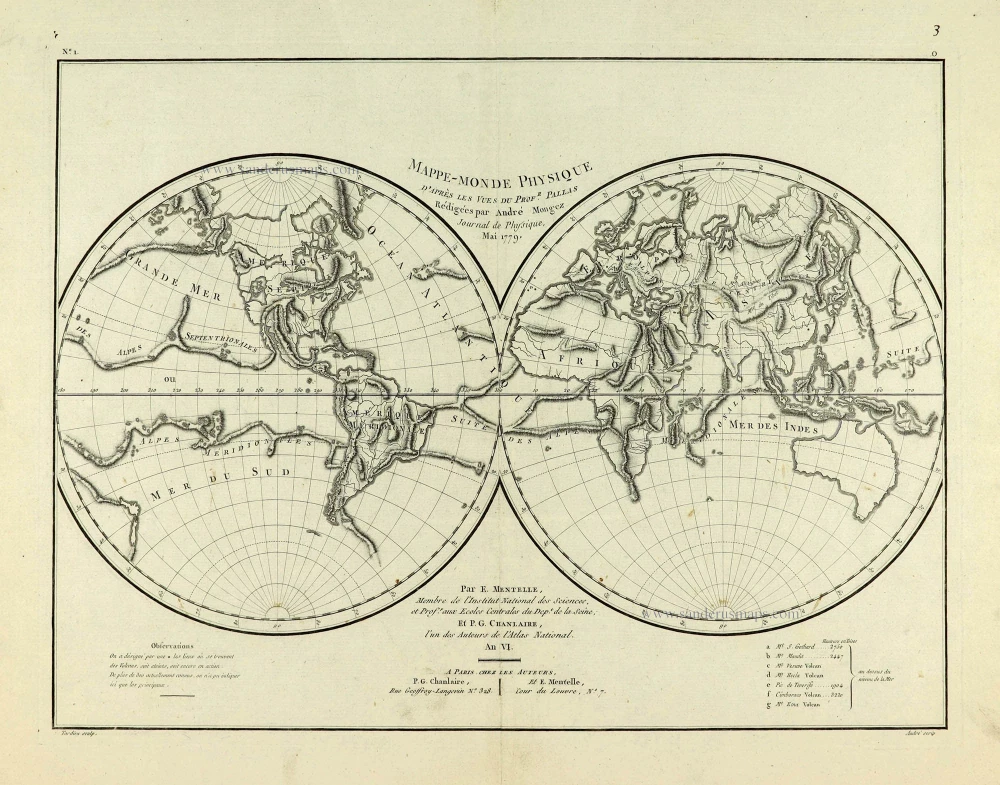
Mappe-Monde Physique. c. 1797
World map, double hemisphere by Pierre Grégoire Chanlaire.
[Item number: 28210]
The engraving and layout and elegance of decoration are all of the highest standards.
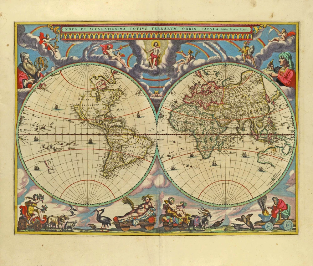
Nova Et Accuratissima Totius Terrarum Orbis Tabula. 1659
World by Joan Blaeu, double hemisphere.
[Item number: 28336]
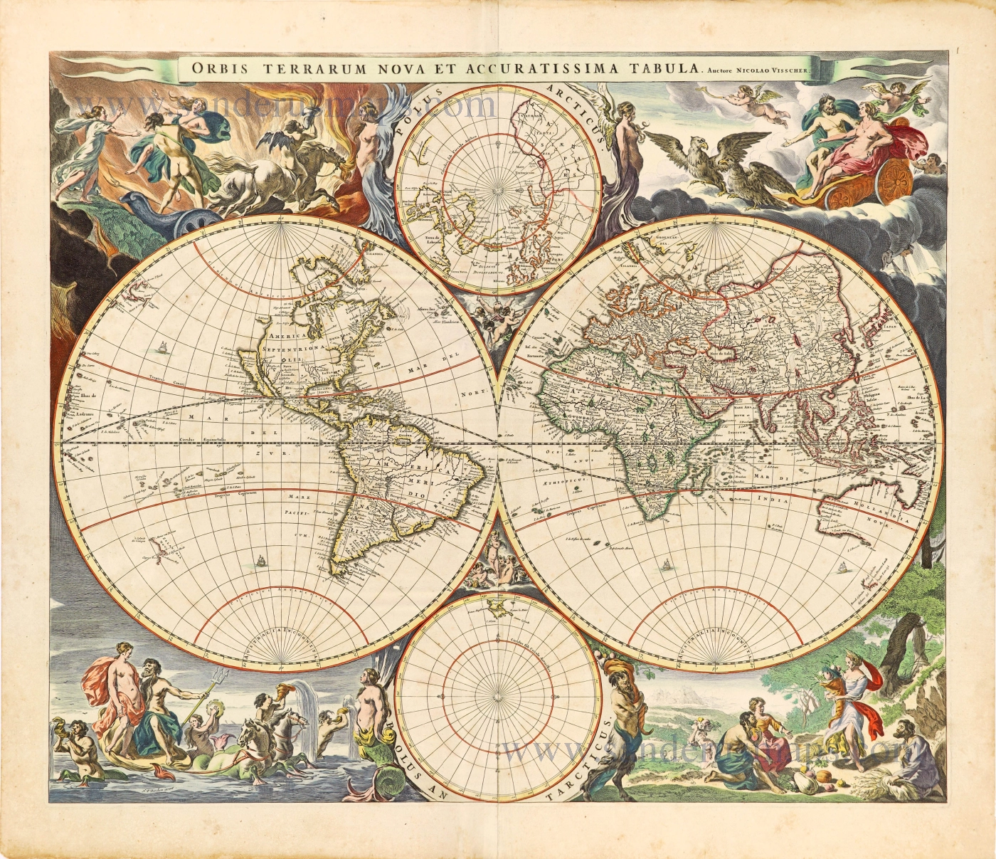
Orbis Terrarum Nova et Accuratissima Tabula. c. 1678
World by Nicolaas Visscher, double hemisphere.
[Item number: 28628]

A fine ornate example of the decorative cartography of the time.
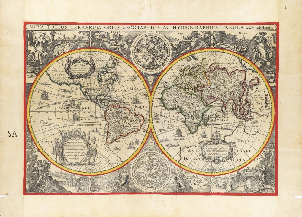
Nova Totius Terrarum Orbis Geographica ac Hydrographica Tabula. Auct: Henr: Hondio. 1641
Double-hemisphere world map by Henricus Hondius.
[Item number: 28768]
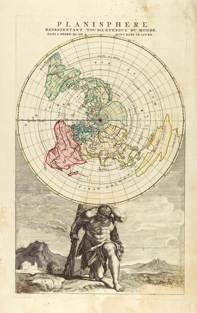
Planisphere representant toute l'Etendue du Monde, dans l'ordre qu'on a suivi dans ce livre. 1792
World in north polar azimuthal projection.
[Item number: 28810]
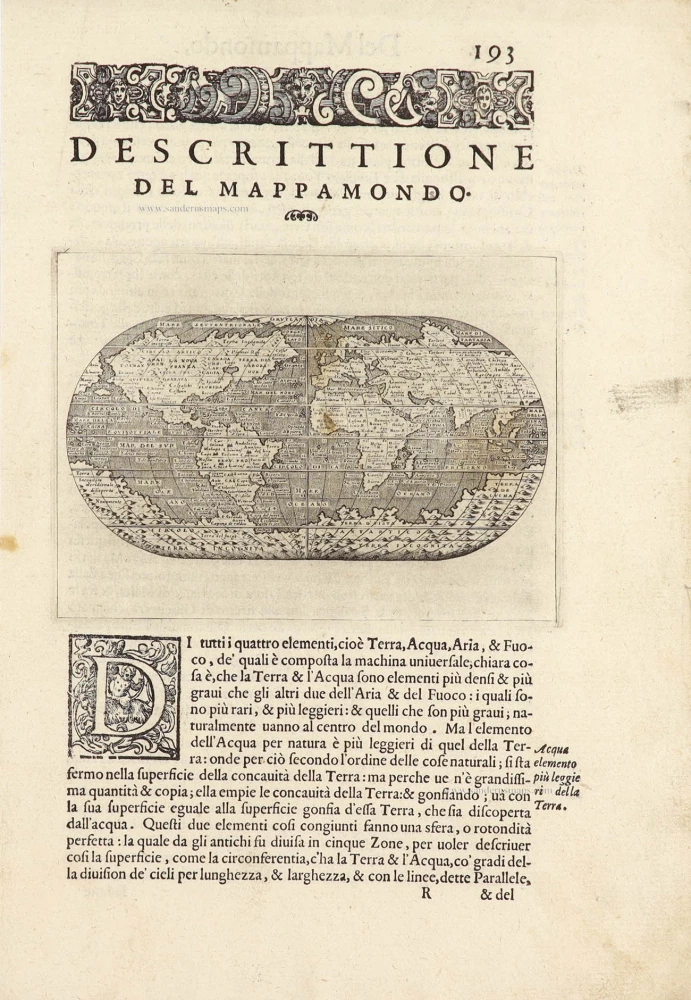
Descrittione Del Mappamondo. 1572
World by Porcacchi Tommaso.
[Item number: 28910]

Luxury colouring.
Orbis Terrarum Nova et Accuratissima Tabula. c. 1678
Double-hemisphere world map, by Nicolaas Visscher I.
[Item number: 28934]
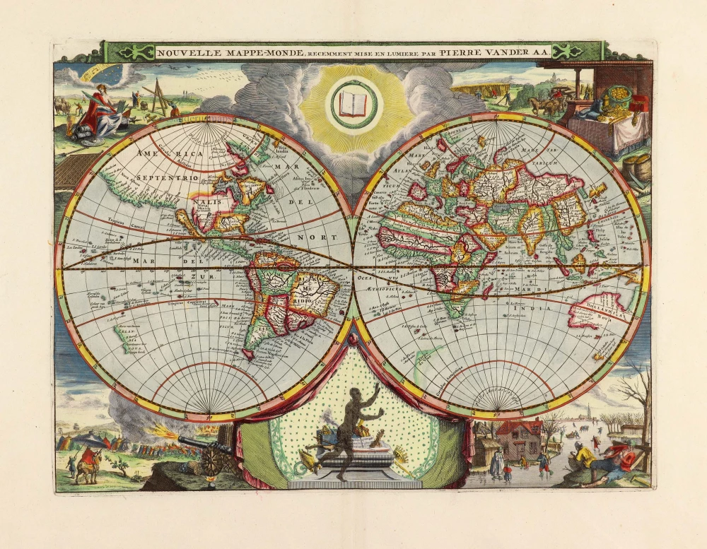
Nouvelle Mappe-Monde, 1710
World by Pieter Van der Aa, double hemisphere.
[Item number: 29136]
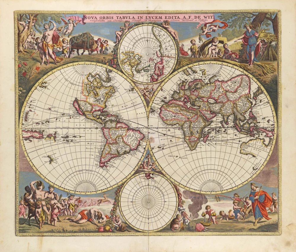
Nova Orbis Tabula in Lucem Edita, A. F. De Wit. c. 1690
World by Frederik De Wit, double hemisphere.
[Item number: 29231]

Mappe-Monde, ou Carte Generale du Monde, 1652
Double hemisphere world map by Nicolas Sanson.
[Item number: 29612]
new
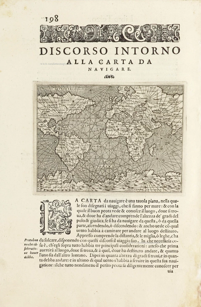
Discorso Intorno alla Carta da Navigare. 1590
World by Thomaso Porcacchi.
[Item number: 29786]
Mappe-Monde 1766-1780
World map by Louis Brion de la Tour, published by L.C Desnos.
[Item number: 30100]
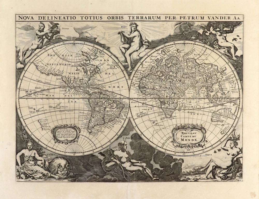
Nova Delineatio Totius Orbis Terrarum per Petrum Van der Aa. - Nouveau Carte du Monde. 1702
World by Pieter Van der Aa - double hemisphere.
[Item number: 30150]

'One of the supreme examples of map maker's art' (Shirley)
Nova Totius Terrarum Orbis Geographica ac Hydrographica. 1643
World by Willem Blaeu, in Mercator projection.
[Item number: 30271]
First double hemisphere map.
Orbis Descriptio. 1598
World by Girolamo Ruscelli.
[Item number: 30632]
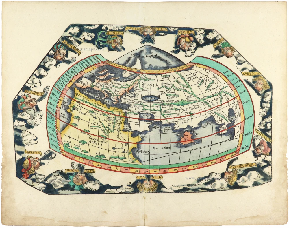
Rare 1525 edition in nice old colour.
[No title] 1525
Ptolemaic world by Lorenz Fries after Martin Waldseemüller.
[Item number: 30649]
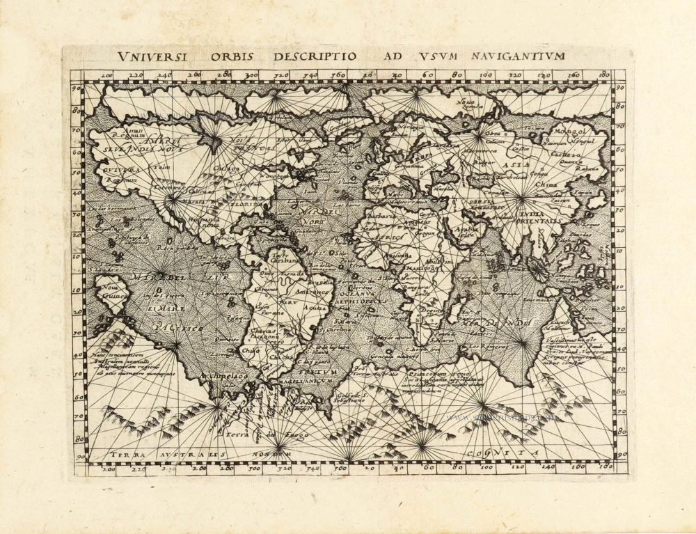
Universi Orbis Descriptio Ad Usum Navigantium. 1597
World by Giovanni Magini.
[Item number: 30653]
VERY RARE FIRST STATE - only a few copies known
Nova Totius Terrarum Orbis Geographica ac Hydrographica auct: Iud: Hondio. c. 1630-1650
Double hemisphere world map by Jodocus Hondius, published by Melchior Tavernier.
[Item number: 30840]