
Africa by Jean Denis Janvier, published by Jean Lattré. 1762

Jean Lattré (???? - 1782)
'Graveur Ordinaire du Roi' (engraver to the King). A Paris-based engraver, bookseller, and map publisher. He worked with his father, Jean I, and specialised in town plans. Engraved maps for Robert de Vaugondy and for Rigobert Bonne. In 1771 he published Atlas moderne ou collection de cartes sur toutes les parties du Globe terrestre par plusieurs Auteurs.
Sr. Janvier Jean Denis [Robert] (? - 1776)
A French cartographer who worked in Paris from about 1746.
He collaborated with other cartographers and publishers in producing a considerable number of maps, many of which were used in general atlases by William Fadan, P. Santini and others.
L'Afrique divisée en ses principaux Etats.
Item Number: 33071 Authenticity Guarantee
Category: Antique maps > Africa
Africa by Jean Denis Janvier, published by Jean Lattré.
Title: L'Afrique divisée en ses principaux Etats.
Par le Sr. Janvier Géographe.
A Paris Chez Lattré Graveur rue St. Jacques auprès la Fontaine St. Severin, à la Ville de Bordeaux.
Avec Privilege du Roy 1762.
Date of the first edition: 1762.
Date of this map: 1762.
Copper engraving, printed on paper.
Image size: 300 x 435mm (11¾ x 17¼ inches).
Sheet size: 365 x 490mm (14¼ x 19¼ inches).
Verso: Blank.
Condition: Original coloured in outline, excellent.
Condition Rating: A+.
From: Atlas moderne ou collection de cartes sur toutes les parties du globe terrestre par plusieurs auteurs. A Paris, Chez Lattré Graveur Ordinaire du Roy, de Mgr. Le Duc d'Orléans et de la Ville Rue St. Jacques No. 20. et Delalain Libraire, rue de la Comédie Françoise. 1762.
Jean Lattré (???? - 1782)
'Graveur Ordinaire du Roi' (engraver to the King). A Paris-based engraver, bookseller, and map publisher. He worked with his father, Jean I, and specialised in town plans. Engraved maps for Robert de Vaugondy and for Rigobert Bonne. In 1771 he published Atlas moderne ou collection de cartes sur toutes les parties du Globe terrestre par plusieurs Auteurs.
Sr. Janvier Jean Denis [Robert] (? - 1776)
A French cartographer who worked in Paris from about 1746.
He collaborated with other cartographers and publishers in producing a considerable number of maps, many of which were used in general atlases by William Fadan, P. Santini and others.
Related items

Africa Ex magna orbis terre 1633
Africa, by G. Mercator.
[Item number: 1452]

Africae Antiquae, et quarundam Europae, Asiaeque Adiacentium Regionum, 1684
Africa, by Janssonius à Waesberghe.
[Item number: 10916]

Africa Tertia Pars Terrae. 1581
Africa, by H. Bünting.
[Item number: 26228]

Affricae Tabula Nova. 1598
Africa, by Sebastian Münster.
[Item number: 27416]

Big and beautiful map.
L'Afrique Selon les Nouvelles Observations de Messrs. de l'Academie des Sciences, etc. Before 1713
Africa, by François Halma.
[Item number: 27853]
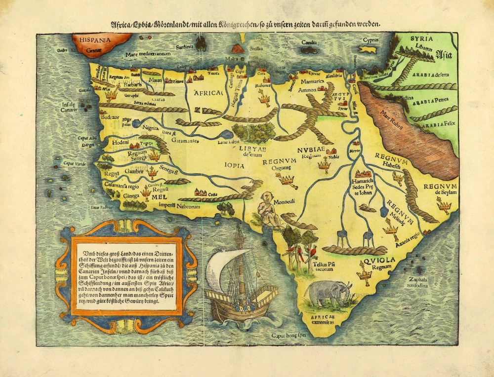
Africa / Lybia / Morenland / mit allen Künigreichen / so zu unsern zeiten darin gefunden werden. 1572
Africa by Sebastian Münster.
[Item number: 28142]

Africae Accurata Tabula. c. 1660
Africa by Nicolaes Visscher I.
[Item number: 28551]

Africa Ex magna orbis terre. 1623
Africa by Gerard Mercator.
[Item number: 28678]

Africae Antiquae, et quarundam Europae, Asiaeque Adiacentium Regionum, 1684
Africa, by Janssonius à Waesberghe.
[Item number: 29053]

Totius Africae Accuratissima Tabula, c. 1697-1704
Africa, by Frederick De Wit.
[Item number: 29289]
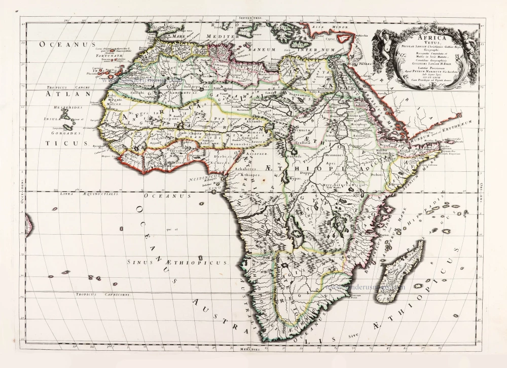
Africa Vetus. 1667-69
Ancient Africa by Nicolas & Guillaume Sanson.
[Item number: 30003]

La table & description universelle de toute l' Afrique, voire estendue outre les limites de Ptol. 1568
AFRICA by Sebastian Münster
[Item number: 30519]

Africa 1621
Africa by Giovanni Magini.
[Item number: 30775]

Carte de l'Afrique Corrigee et Augmentee, dessus Toutes les Aultres cy devant Faictes par P. Bertius. c. 1630-1650
Africa by Petrus Bertius, published by Melchior Tavernier.
[Item number: 30858]

Important map
Africae Tabula Nova. 1575
Africa by Abraham Ortelius
[Item number: 30948]

L'Afrique divisée suivant l'estendue de ses principales parties ou sont distingués les uns des autres, Les Empires, Monarchies, Royaumes, Estats et Peuples qui partagent aujourd'huy l'Afrique sur les Relations les plus Nouvelles. 1692
Africa, by N. Sanson, so-called published by Hubert Jaillot. (Pirated edition by Pierre Mortier).
[Item number: 31141]

Beautiful
Tabula Quarta Africae 1513
Ptolemy map of Africa by Martin Waldseemüller
[Item number: 31187]

Africae nova descriptio. 1640
Africa by Willem Blaeu.
[Item number: 31334]

Totius Africae Accuratissima Tabula Authore I. Danckerts Amstelodami 1683-1690
Africa by Justus Danckerts.
[Item number: 31787]

Africa. 1618
Africa by Petrus Bertius, published by Jodocus Hondius II.
[Item number: 32060]

Totius Africae Nova Repraesentatio qua Practer Diversos in ea Status et Regiones, etiam Origo Nili 1712
Africa by Homann J.B.
[Item number: 32097]

Novissima et Perfectissima Africae 1696-1713
Africa by Danckerts J.
[Item number: 32459]
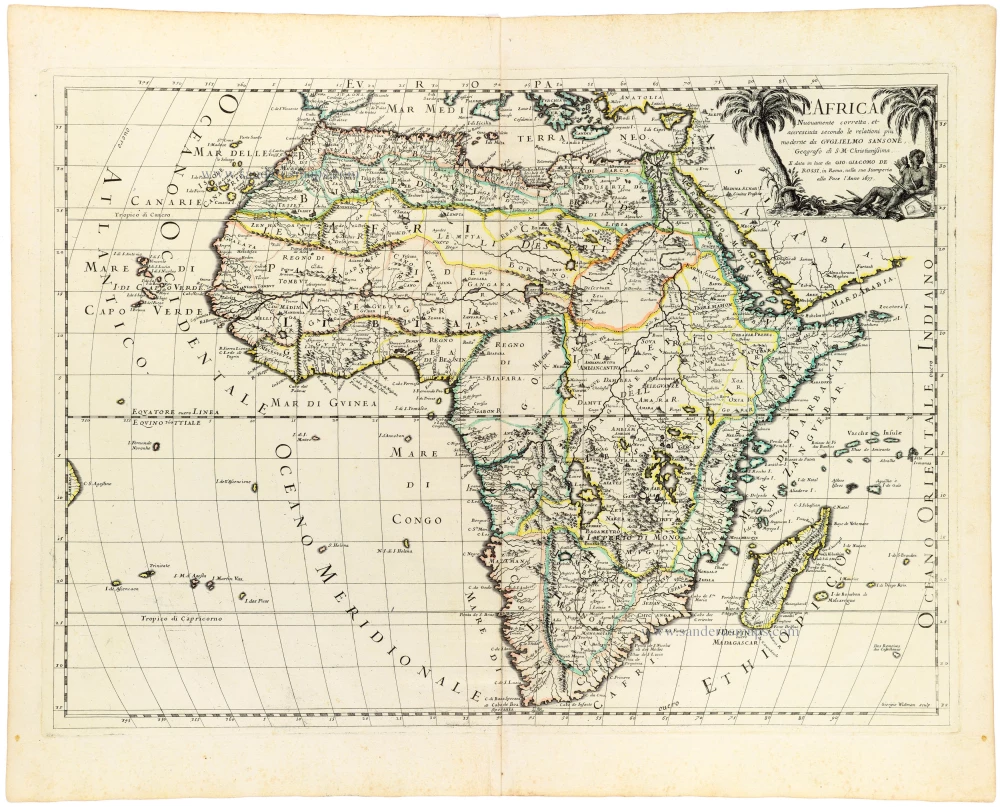
L' Africa. 1677
Africa by Giovanni De Rossi, after Nicolas Sanson.
[Item number: 32888]

Afrique. 1659
Africa by Nicolas Sanson.
[Item number: 33215]
new
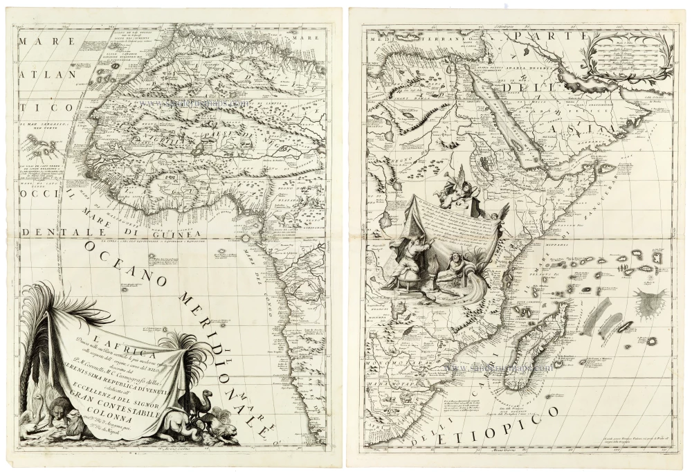
An outstanding example of late seventeenth-century Italian cartography
L'Africa Divisa nelle sue Parti Secondo le Piu Moderne Relationi colle scoperte dell' origine, e corso del Nilo, 1691
Africa by Coronelli V.M.
[Item number: 33307]
new