Antique maps catalogue
- All recent additions
-
Antique maps
- World and Polar
-
Europe
- Europe Continent
- Belgium
- Belgium - Cities
- The Low Countries
- The Netherlands
- The Netherlands - Cities
- Luxembourg
- France
- France - Cities
- Germany
- Germany - Cities
- Austria
- Italy
- Italy - Cities
- Spain and Portugal
- Greece & Greek Islands
- Switzerland
- British Isles
- British Isles - Cities
- Northern Europe
- Central Europe
- Eastern Europe
- Southeastern Europe
- America
- Asia
- Africa
- Mediterranean Sea
- Australia
- Oceans
- Celestial Maps
- Curiosities
- Books
- Medieval manuscripts
- Prints
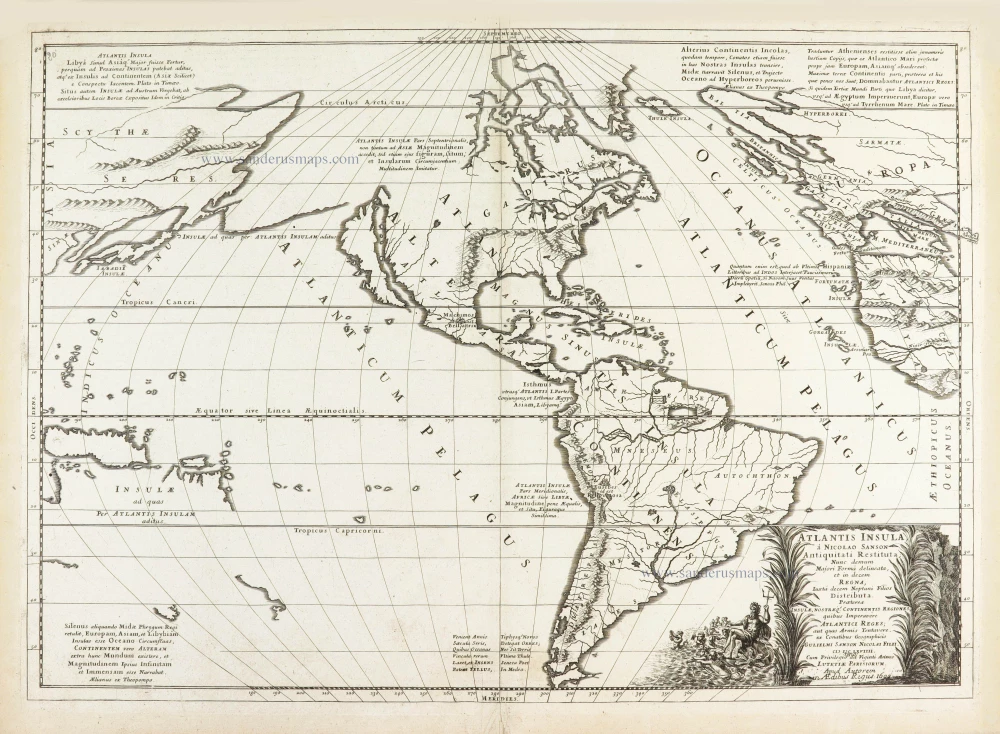
The Americas by Guillaume Sanson. 1692
Atlantis Insula.
[Item number: 28376]
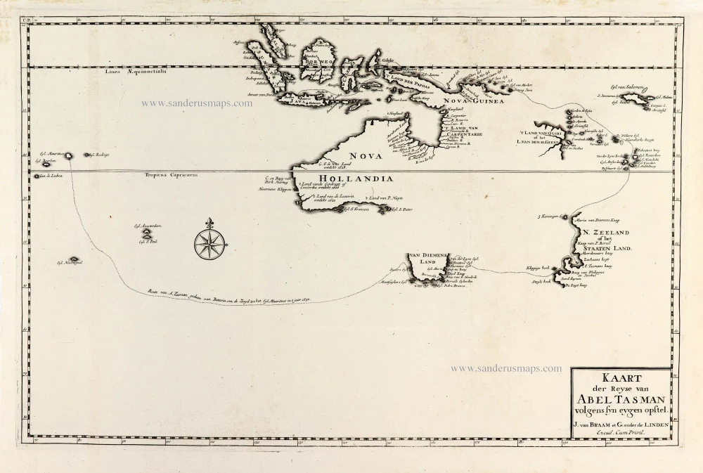
Tasman's first voyage, by François Valentyn. 1726
Kaart der Reyse van Abel Tasman Volgens syn eygen Opstel.
[Item number: 31086]

Andalucia by W. & J. Blaeu. 1640
Andaluzia continens Sevillam et Cordubam.
[Item number: 28722]
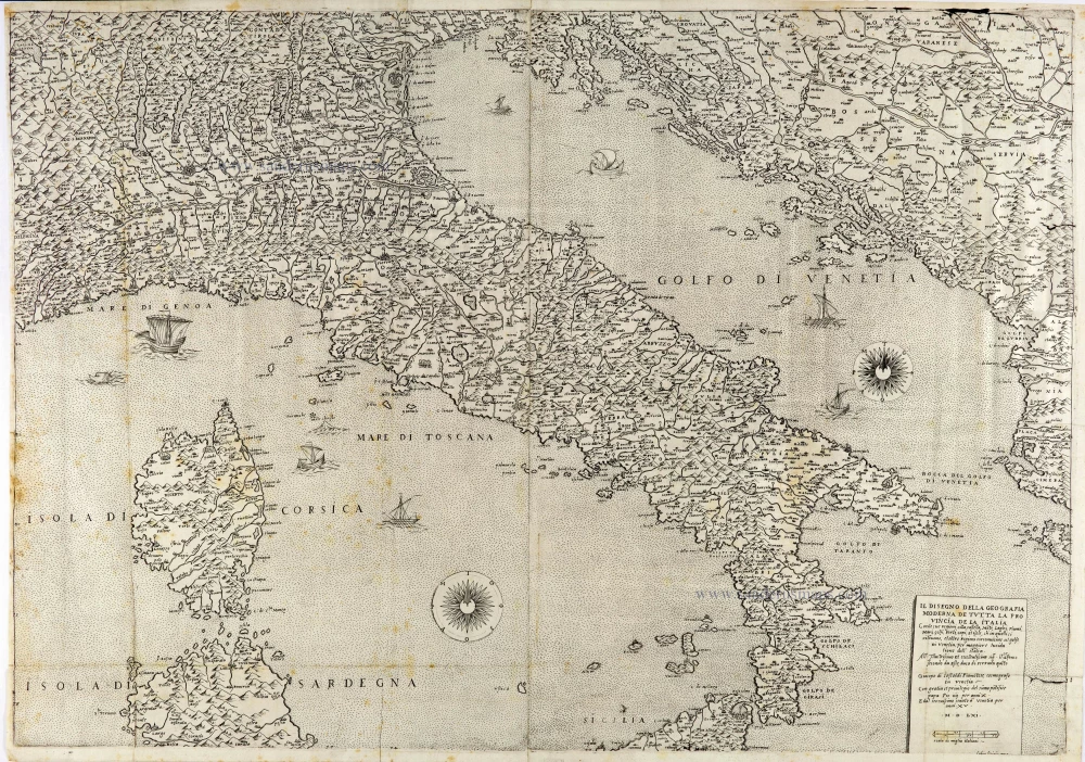
Italy by Giacomo Gastaldi. (Italia) 1561
Il Disegno della Geografia Moderna de Tutta la Provincia de la ...
[Item number: 28121]
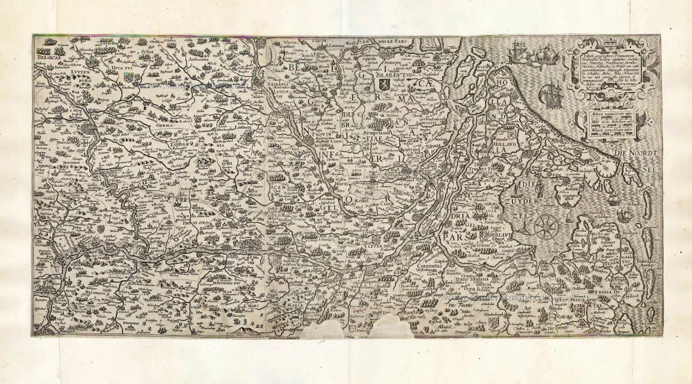
Rhine River by Cornelis Claesz. After 1630
Tabula geographica Prouinciarum Brabantiae, Geldriae comitatus ...
[Item number: 27065]
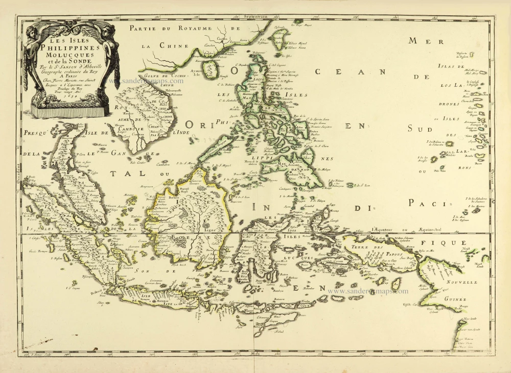
Southeast Asia par Nicolas Sanson. 1658
Les Isles Philippines Molucques et de la Sonde.
[Item number: 28378]

Welcome to Sanderus Antiquariaat
Antiquariaat Sanderus, named after the famous Flemish historian, Antonius Sanderus, is specialised in antiquarian books, medieval manuscripts, antique maps and prints from the 15th to the 18th centuries.
The company is a member of the Antiquarian Booksellers’ Association (ABA), the “The Belgian Royal Chamber of Antiques and Art Dealers” and the International Association of Antique Map Dealers (IAMA).