Antique maps catalogue
- All recent additions
-
Antique maps
- World and Polar
-
Europe
- Europe Continent
- Belgium
- Belgium - Cities
- The Low Countries
- The Netherlands
- The Netherlands - Cities
- Luxembourg
- France
- France - Cities
- Germany
- Germany - Cities
- Austria
- Italy
- Italy - Cities
- Spain and Portugal
- Greece & Greek Islands
- Switzerland
- British Isles
- British Isles - Cities
- Northern Europe
- Central Europe
- Eastern Europe
- Southeastern Europe
- America
- Asia
- Africa
- Mediterranean Sea
- Australia
- Oceans
- Celestial Maps
- Curiosities
- Books
- Medieval manuscripts
- Prints
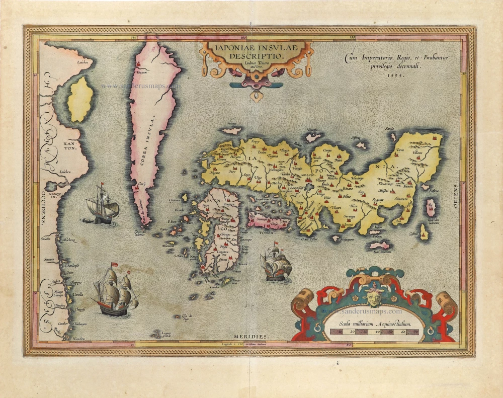
Japan by Abraham Ortelius. 1612
Iaponiae Insulae Descriptio.
[Item number: 31043]
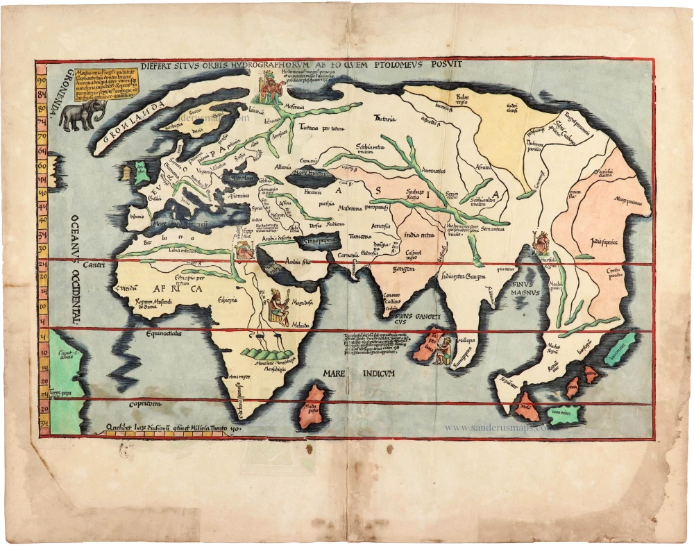
Modern world map, by Lorenz Fries, after Martin Waldseemüller. 1525
Diefert Situs Orbis Hydrographorum Ab Eo Quem Ptolomeus Posuit.
[Item number: 30661]
![Apuliae, quae olim Iapygia, Nova Corographia. Jacobo Castaldo Auctore. [On sheet with:] Calabriae Descrip.](https://sanderusmaps.com/assets/WEBP/m29976.webp)
Puglia and Calabria by Abraham Ortelius. 1595
Apuliae, quae olim Iapygia, Nova Corographia. Jacobo Castaldo ...
[Item number: 29976]
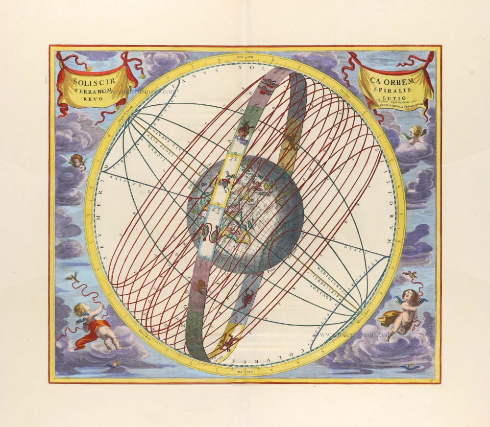
Celestial chart showing the path of the sun's annual rotation around the earth, with a Zodiac Ring, by Andreas Cellarius. 1708
Solis circa Orbem Terrarum Spiralis Revolutio.
[Item number: 31332]
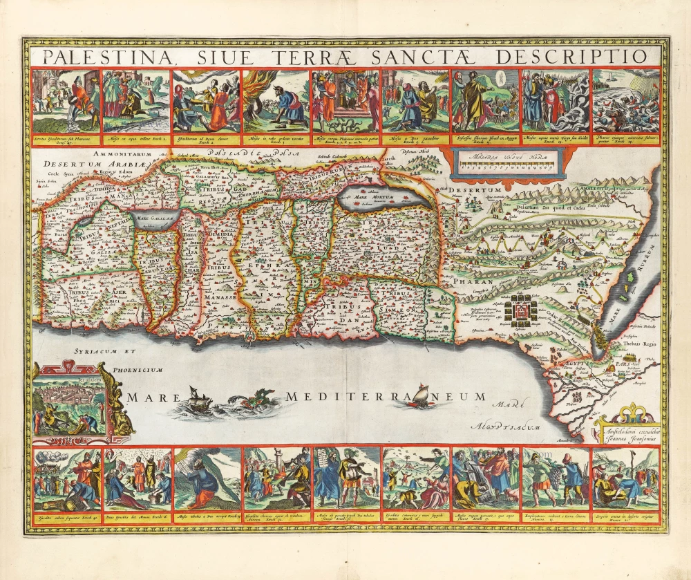
The Holy Land by Joannes Janssonius. 1666
Palestina, sive Terrae Sanctae Descriptio.
[Item number: 29972]
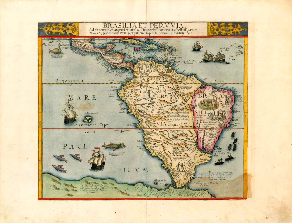
South America, by Cornelis de Jode. 1593
Brasilia et Peruvia ...
[Item number: 25240]

Welcome to Sanderus Antiquariaat
Antiquariaat Sanderus, named after the famous Flemish historian, Antonius Sanderus, is specialised in antiquarian books, medieval manuscripts, antique maps and prints from the 15th to the 18th centuries.
The company is a member of the Antiquarian Booksellers’ Association (ABA), the “The Belgian Royal Chamber of Antiques and Art Dealers” and the International Association of Antique Map Dealers (IAMA).