Antique maps catalogue
- All recent additions
-
Antique maps
- World and Polar
-
Europe
- Europe Continent
- Belgium
- Belgium - Cities
- The Low Countries
- The Netherlands
- The Netherlands - Cities
- Luxembourg
- France
- France - Cities
- Germany
- Germany - Cities
- Austria
- Italy
- Italy - Cities
- Spain and Portugal
- Greece & Greek Islands
- Switzerland
- British Isles
- British Isles - Cities
- Northern Europe
- Central Europe
- Eastern Europe
- Southeastern Europe
- America
- Asia
- Africa
- Mediterranean Sea
- Australia
- Oceans
- Celestial Maps
- Curiosities
- Books
- Medieval manuscripts
- Prints
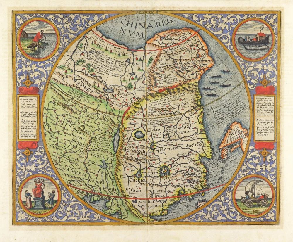
China by Cornelis de Jode 1593
China Regnum.
[Item number: 30312]
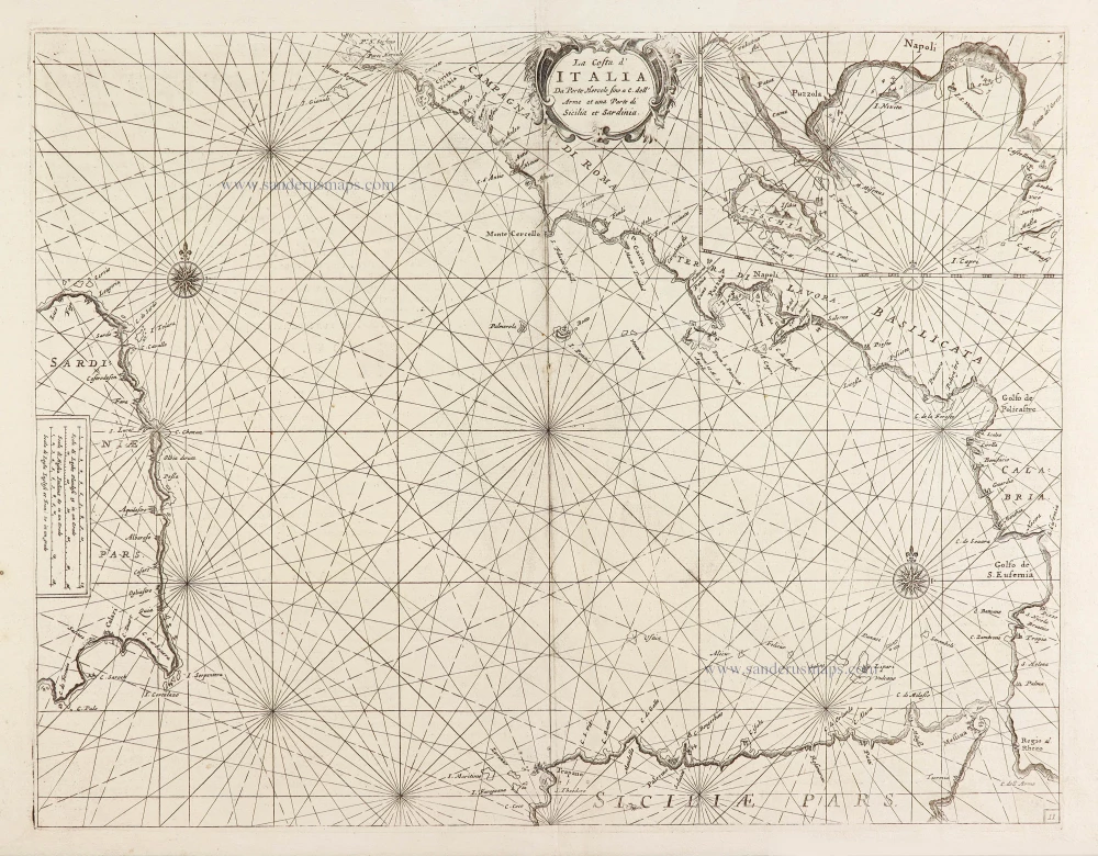
Chart of the Tyrrhenian Sea (Il Mar Tirenno) - between Italy, Sicily, and Sardinia, by Vincenzo Coronelli. 1696
La Costa d'Italia Da Porto Hercole fino a C. dell' Arme et una ...
[Item number: 28726]
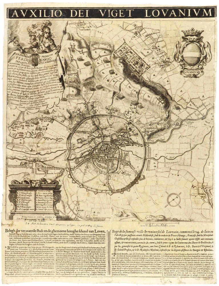
Louvain - Leuven 1635
Lovanium.
[Item number: 31368]
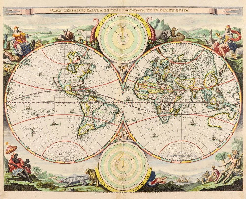
World - Double Hemisphere, by Daniel Stoopendaal 1714
Orbis Terrarum Tabula Recens Emendata Et In Lucem Edita
[Item number: 30635]
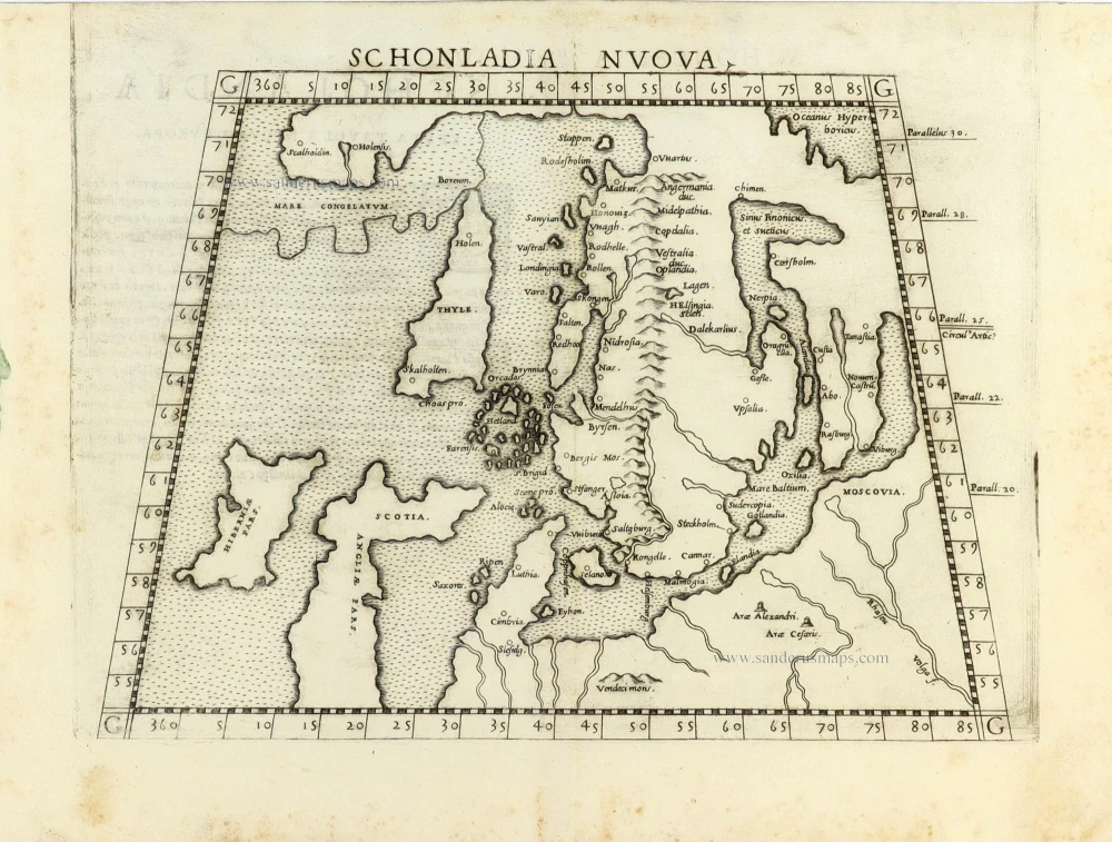
Scandinavia by Girolamo Ruscelli. 1561
Schonladia Nuova.
[Item number: 31087]
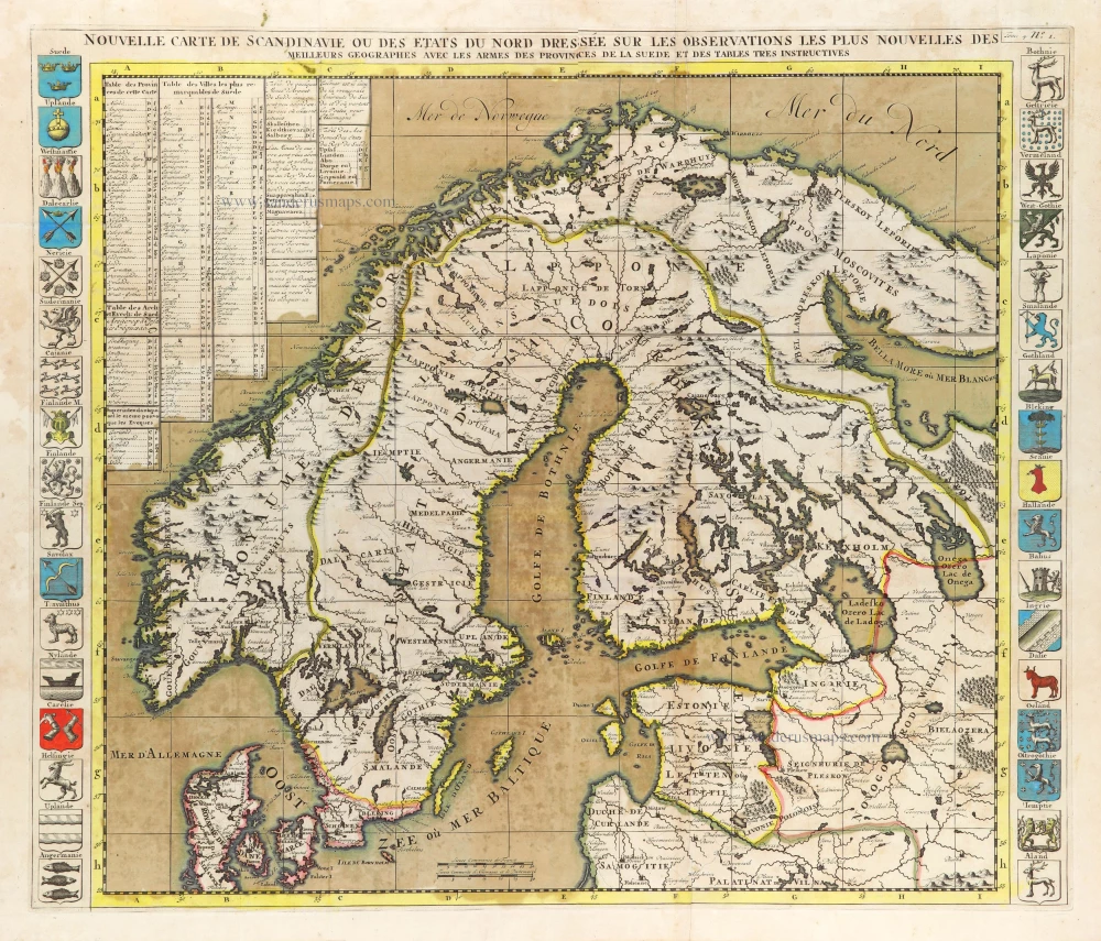
Scandinavia, by Zacharias Châtelain. 1714
Nouvelle Carte de Scandinavie ou des Etats du Nord Dressée sur ...
[Item number: 31424]
new

Welcome to Sanderus Antiquariaat
Antiquariaat Sanderus, named after the famous Flemish historian, Antonius Sanderus, is specialised in antiquarian books, medieval manuscripts, antique maps and prints from the 15th to the 18th centuries.
The company is a member of the Antiquarian Booksellers’ Association (ABA), the “The Belgian Royal Chamber of Antiques and Art Dealers” and the International Association of Antique Map Dealers (IAMA).