Antique maps catalogue
- All recent additions
-
Antique maps
- World and Polar
-
Europe
- Europe Continent
- Belgium
- Belgium - Cities
- The Low Countries
- The Netherlands
- The Netherlands - Cities
- Luxembourg
- France
- France - Cities
- Germany
- Germany - Cities
- Austria
- Italy
- Italy - Cities
- Spain and Portugal
- Greece & Greek Islands
- Switzerland
- British Isles
- British Isles - Cities
- Northern Europe
- Central Europe
- Eastern Europe
- Southeastern Europe
- America
- Asia
- Africa
- Mediterranean Sea
- Australia
- Oceans
- Celestial Maps
- Curiosities
- Books
- Medieval manuscripts
- Prints
Antique maps /
Europe /
Greece & Greek Islands
Showing 109 - 112 of 112 products
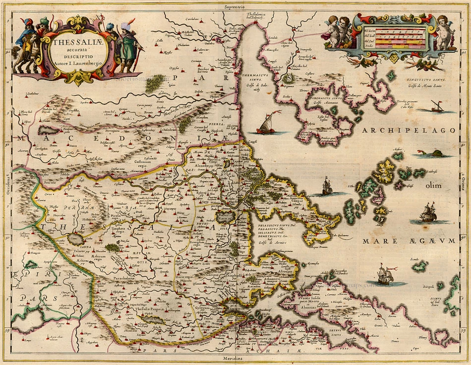
Thessalia, by Janssonius J. 1632
Thessaliae accurata descriptio.
[Item number: 111]
€250
($285 / £212.5)
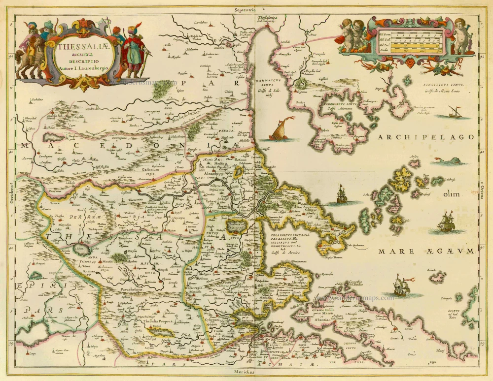
Greece - Thessalia by Janssonius J. 1658
Thessaliae Accurata Descriptio
[Item number: 12300]
€350
($399 / £297.5)
![Zante. - [Above map :] Descrittione del l'Isola del Zante.](https://sanderusmaps.com/assets/WEBP/m29841.webp)
Zante (Zakynthos) by Thomasso Porcacchi. 1590
Zante. - [Above map :] Descrittione del l'Isola del Zante.
[Item number: 29841]
€150
($171 / £127.5)

Cyprus, by Henricus Hondius. 1641
Cyprus Ins:
[Item number: 26436]
€900
($1026 / £765)