Antique maps catalogue
- All recent additions
-
Antique maps
- World and Polar
-
Europe
- Europe Continent
- Belgium
- Belgium - Cities
- The Low Countries
- The Netherlands
- The Netherlands - Cities
- Luxembourg
- France
- France - Cities
- Germany
- Germany - Cities
- Austria
- Italy
- Italy - Cities
- Spain and Portugal
- Greece & Greek Islands
- Switzerland
- British Isles
- British Isles - Cities
- Northern Europe
- Central Europe
- Eastern Europe
- Southeastern Europe
- America
- Asia
- Africa
- Mediterranean Sea
- Australia
- Oceans
- Celestial Maps
- Curiosities
- Books
- Medieval manuscripts
- Prints

Hasselt, Maastricht, Liège by Guicciardini Ludovico 1609
Leodiensis Episcopatus Delineatio.
[Item number: 27020]
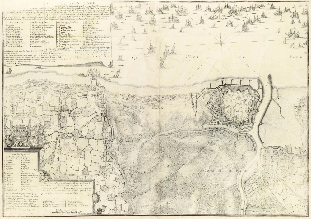
Oostende by Eugène Fricx. 1712
Plan de la ville d'Ostende
[Item number: 30792]
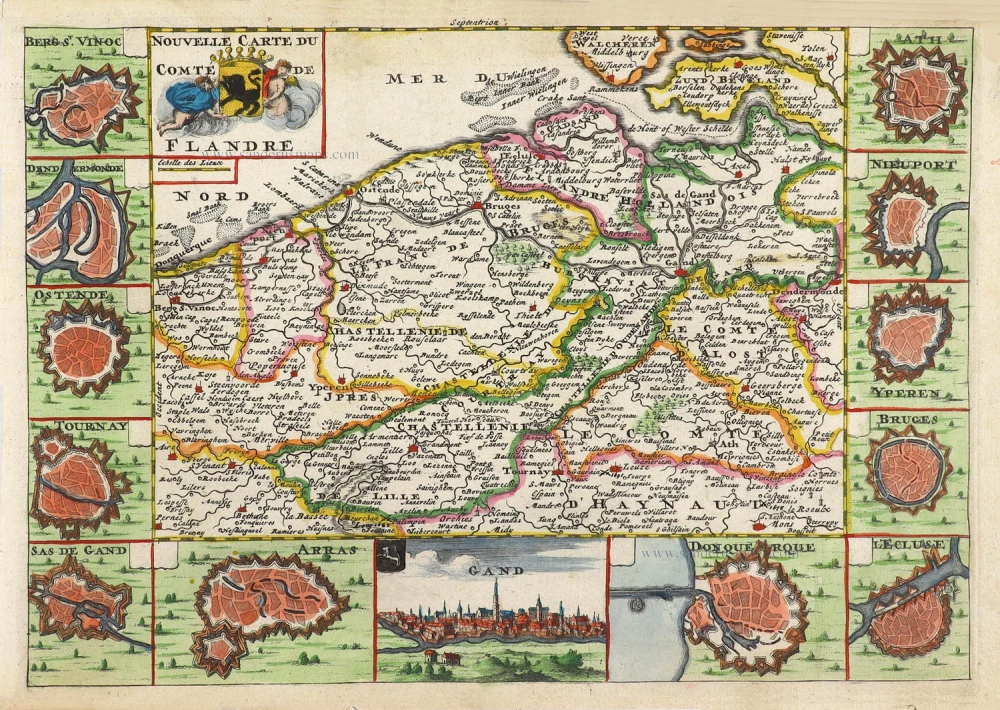
Flanders (Vlaanderen) by Daniel De la Feuille. 1706
Nouvelle Carte du Comté de Flandre.
[Item number: 29889]
![Flàdern. [Above map:] Von dem Landt Flandern.](https://sanderusmaps.com/assets/WEBP/m28922.webp)
Flanders (Vlaanderen) by Sebastian Münster. 1550
Flàdern. [Above map:] Von dem Landt Flandern.
[Item number: 28922]
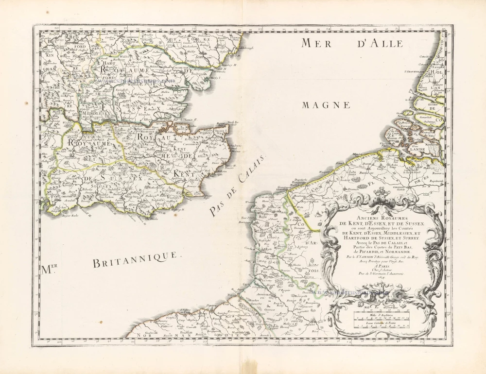
Southeast England with the adjacent coastline of France and Belgium, by Nicolas Sanson. 1658
Anciens royaumes de Kent, d'Essex, et de Sussex ou sont ...
[Item number: 29627]
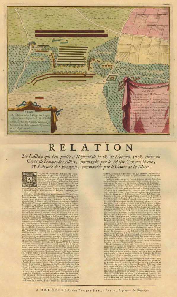
Torhout - Wijnendale, by Fricx E. 1712
Relation De L'Action qui s'est passée à Wynendale le 28. de S ...
[Item number: 20476]
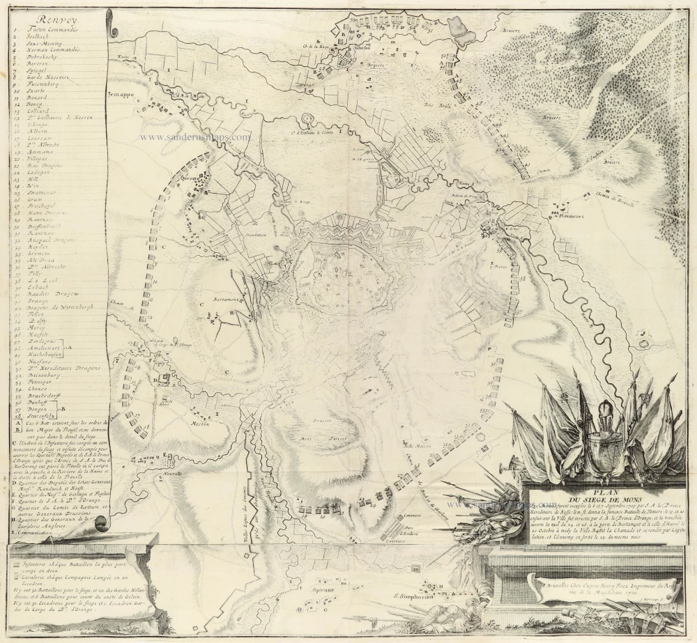
Mons by Eugène Fricx. 1712
Plan du Siege de Mons
[Item number: 30791]
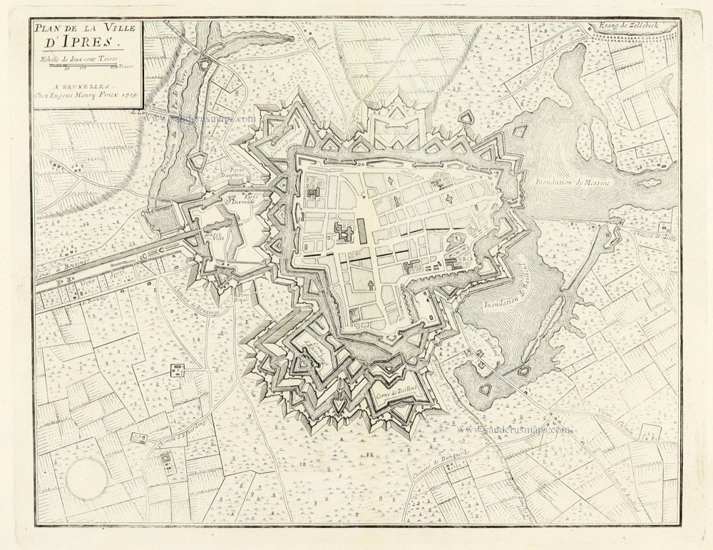
Ieper by Eugène Fricx. 1712
Plan de la ville d'Ipres
[Item number: 30797]