Antique maps catalogue
- All recent additions
-
Antique maps
- World and Polar
-
Europe
- Europe Continent
- Belgium
- Belgium - Cities
- The Low Countries
- The Netherlands
- The Netherlands - Cities
- Luxembourg
- France
- France - Cities
- Germany
- Germany - Cities
- Austria
- Italy
- Italy - Cities
- Spain and Portugal
- Greece & Greek Islands
- Switzerland
- British Isles
- British Isles - Cities
- Northern Europe
- Central Europe
- Eastern Europe
- Southeastern Europe
- America
- Asia
- Africa
- Mediterranean Sea
- Australia
- Oceans
- Celestial Maps
- Curiosities
- Books
- Medieval manuscripts
- Prints
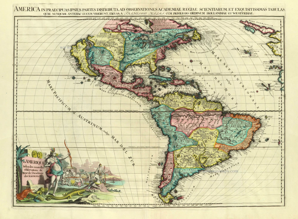
America, by François Halma. Before 1713
L'Amerique selon les Nouvelles Observations de Messrs. de ...
[Item number: 28017]
![[No title]](https://sanderusmaps.com/assets/WEBP/m27086.webp)
Atlantic Ocean - Europe, Africa & Eastern Canada by Giovanni Francesco Camocio c. 1575
[No title]
[Item number: 27086]
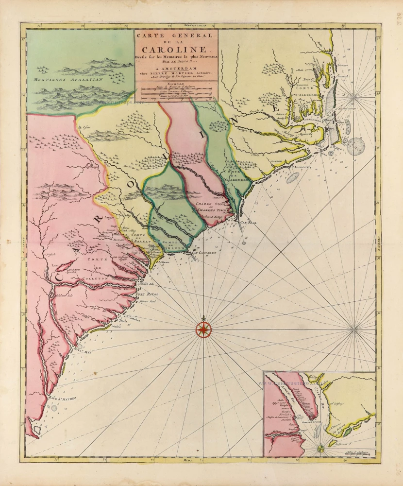
Carolina, by Pieter (Pierre) Mortier. c. 1696
Carte General de la Caroline.
[Item number: 31417]
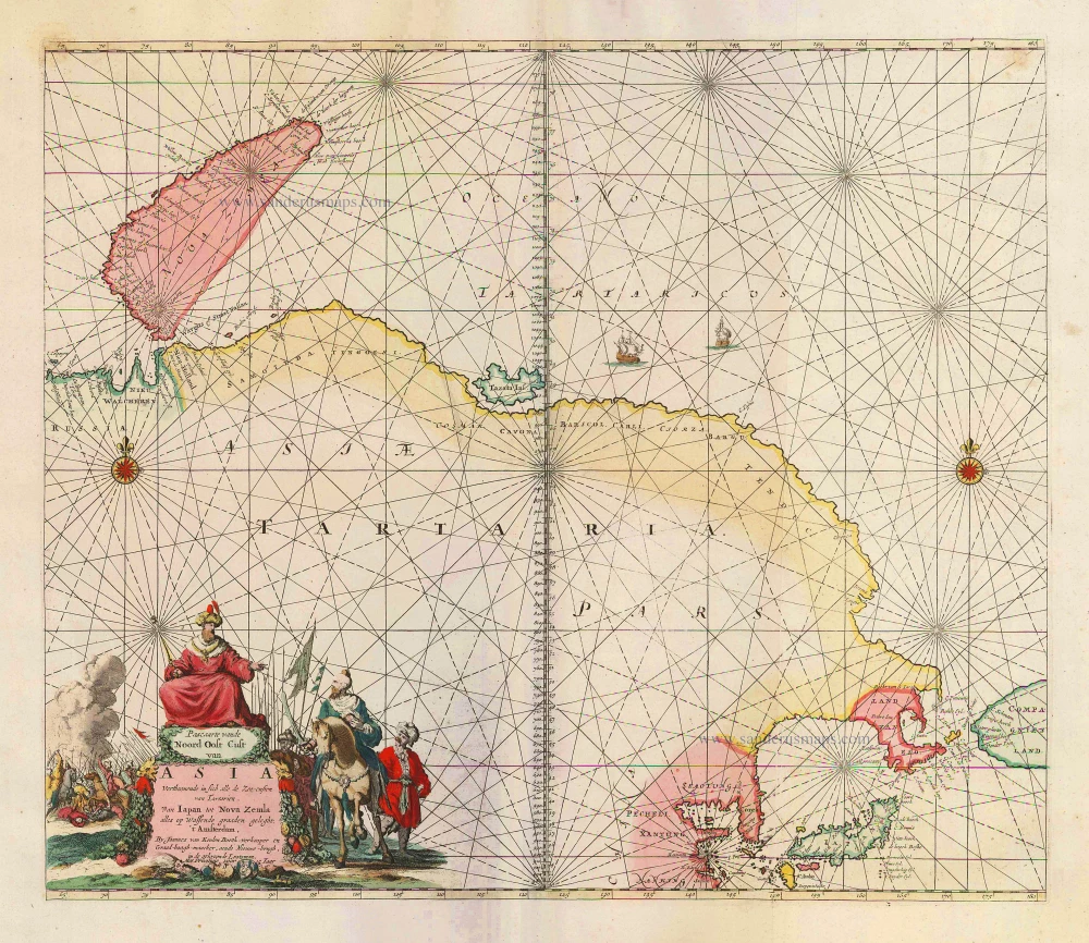
Sea chart of Northeast Asia, by J. Van Keulen. 1683
Pascaarte vande Noord Oost Cust van Asia Verthoonende in sich ...
[Item number: 2443]
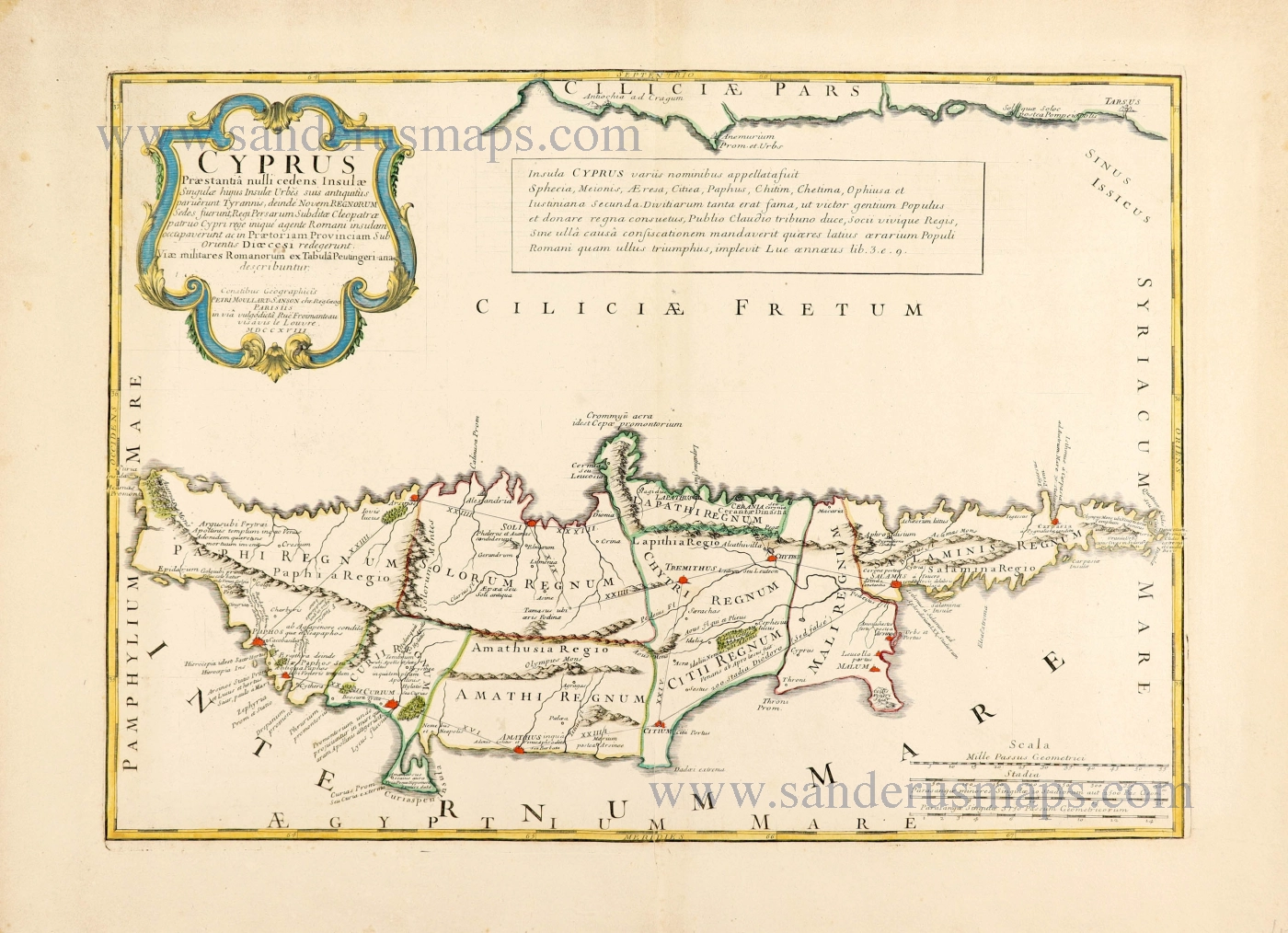
Cyprus by Pierre Moullart-Sanson. 1718
Cyprus Praestantia nulli cedens Insulae.
[Item number: 28632]

North America by Hubert Jaillot. (Pirated edition by Pierre Mortier). 1694
Amerique Septentrionale, Divisee en ses Principales Parties.
[Item number: 31419]

Welcome to Sanderus Antiquariaat
Antiquariaat Sanderus, named after the famous Flemish historian, Antonius Sanderus, is specialised in antiquarian books, medieval manuscripts, antique maps and prints from the 15th to the 18th centuries.
The company is a member of the Antiquarian Booksellers’ Association (ABA), the “The Belgian Royal Chamber of Antiques and Art Dealers” and the International Association of Antique Map Dealers (IAMA).