Antique maps catalogue
- All recent additions
-
Antique maps
- Polar maps
- World
-
Europe
- Europe Continent
- Belgium
- Belgium - Cities
- The Low Countries
- The Netherlands
- The Netherlands - Cities
- Luxembourg
- France
- France - Cities
- Germany
- Germany - Cities
- Austria
- Italy
- Italy - Cities
- Spain and Portugal
- Greece & Greek Islands
- Switzerland
- British Isles
- British Isles - Cities
- Northern Europe
- Central Europe
- Eastern Europe
- Southeastern Europe
- America
- Asia
- Africa
- Mediterranean Sea
- Australia
- Oceans
- Celestial Maps
- Curiosities
- Title Pages
- Books
- Medieval manuscripts
- Prints
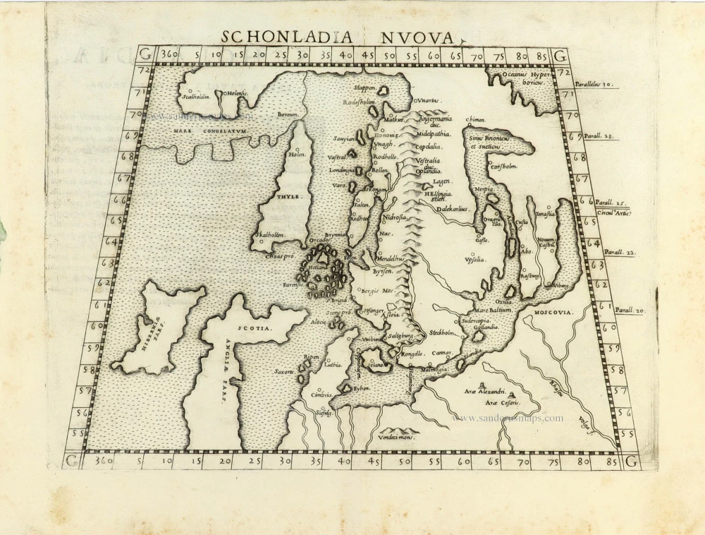
Scandinavia by Girolamo Ruscelli. 1561
Schonladia Nuova.
[Item number: 31087]

Malmö, Helsingborg, Lund, Landskrona, by Georg Braun & Frans Hogenberg 1623
Helsheborch [on sheet with] Lunden [and] Elbogen [and]...
[Item number: 32923]

Amersfoort by Janssonius J. 1657
Amisfurtum Vulgo Amersfoort
[Item number: 33207]
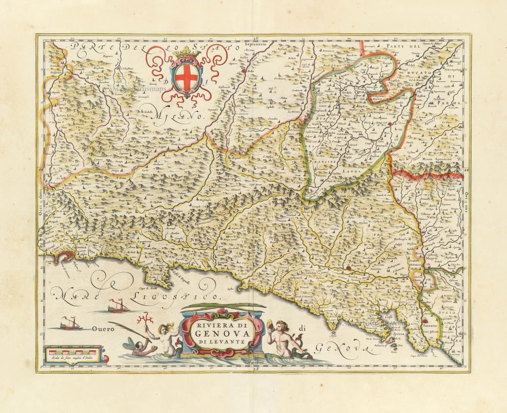
Genoa (Genova) by Willem & Joan Blaeu. 1640
Riviera di Genova di Levante.
[Item number: 30918]

Japan by Pieter Van der Aa. 1706
William Adams Reystogt na Oost-Indien; Avontuurlyk door de...
[Item number: 31841]
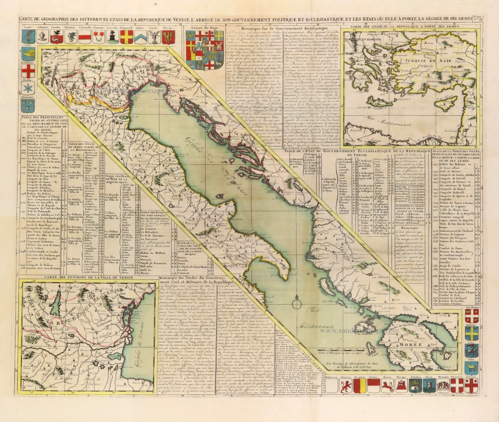
Gulf of Venice, by Zacharias Châtelain. 1708
Carte de Géographie des differents Etats de la République de...
[Item number: 31420]
Recent additions
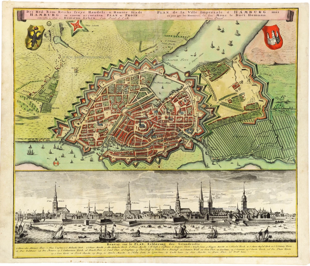
Plan and panoramic view of Hamburg, by Homann Heirs. After c. 1730
Des Heil: Rom: Reichs freye Handels- u. Hansee Stadt Hamburg in...
[Item number: 33278]
new
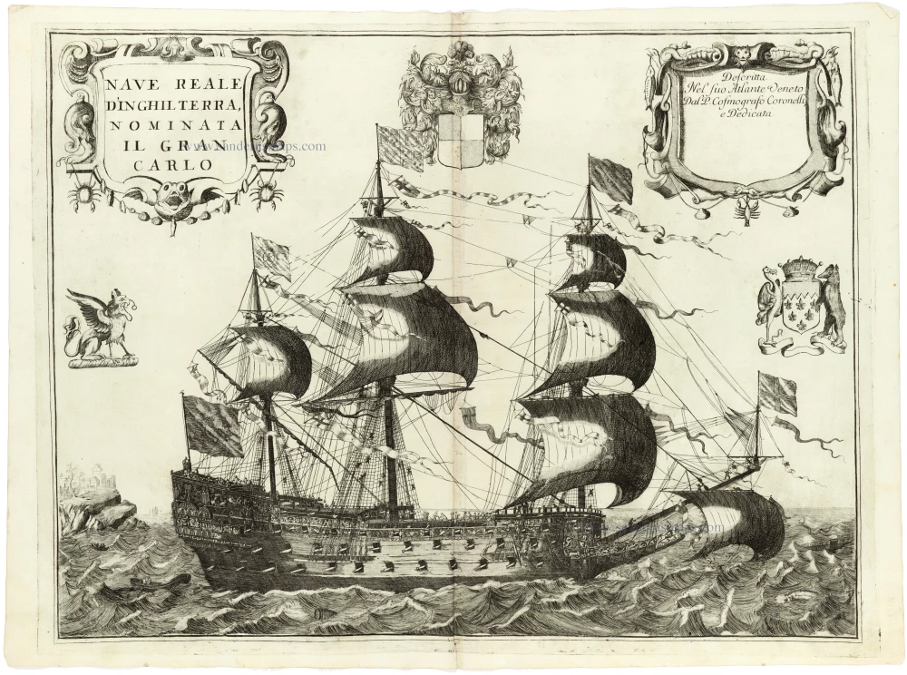
Warship HMS Royal Charles by V.M. Coronelli. 1691
Nave Reale d'Inghilterra, nominata Il Gran Carlo.
[Item number: 33379]
new
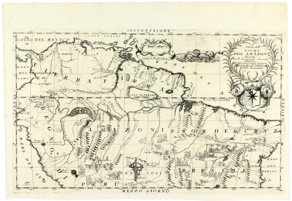
Amazon River Basin by V.M. Coronelli 1691
Corso del Fiume dell Amazoni,
[Item number: 33377]
new
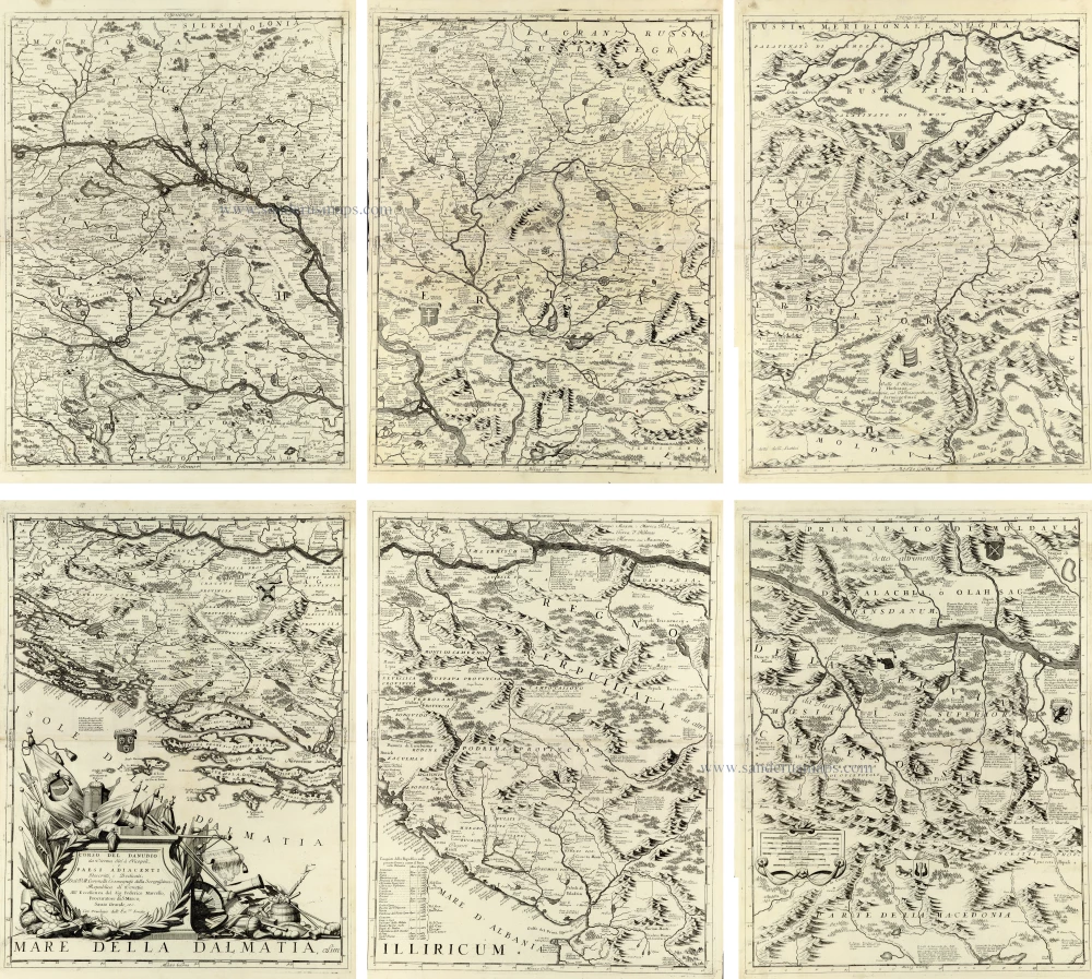
Impressive six-sheet map of the Danube River
Course of the Danube River by V.M. Coronelli. 1691
Corso del Danubio da Vienna sin' a Nicopoli e Paesi Adiacenti
[Item number: 33373]
new
Welcome to Sanderus Antiquariaat
Antiquariaat Sanderus, named after the famous Flemish historian, Antonius Sanderus, is specialised in antiquarian books, medieval manuscripts, antique maps and prints from the 15th to the 18th centuries.
The company is a member of the Antiquarian Booksellers’ Association (ABA), the “The Belgian Royal Chamber of Antiques and Art Dealers” and the International Association of Antique Map Dealers (IAMA).