Antique maps catalogue
- All recent additions
-
Antique maps
- World and Polar
-
Europe
- Europe Continent
- Belgium
- Belgium - Cities
- The Low Countries
- The Netherlands
- The Netherlands - Cities
- Luxembourg
- France
- France - Cities
- Germany
- Germany - Cities
- Austria
- Italy
- Italy - Cities
- Spain and Portugal
- Greece & Greek Islands
- Switzerland
- British Isles
- British Isles - Cities
- Northern Europe
- Central Europe
- Eastern Europe
- Southeastern Europe
- America
- Asia
- Africa
- Mediterranean Sea
- Australia
- Oceans
- Celestial Maps
- Curiosities
- Books
- Medieval manuscripts
- Prints
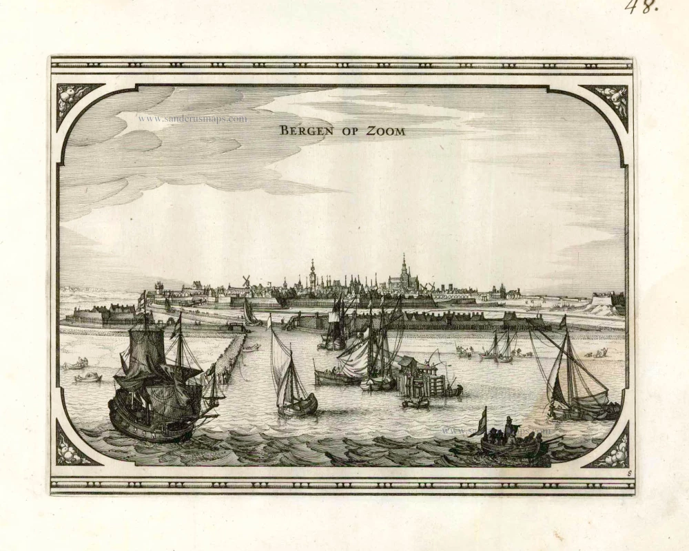
Bergen op Zoom, by Visscher N. - Schut P.H. 1656
Bergen op Zoom.
[Item number: 25374]
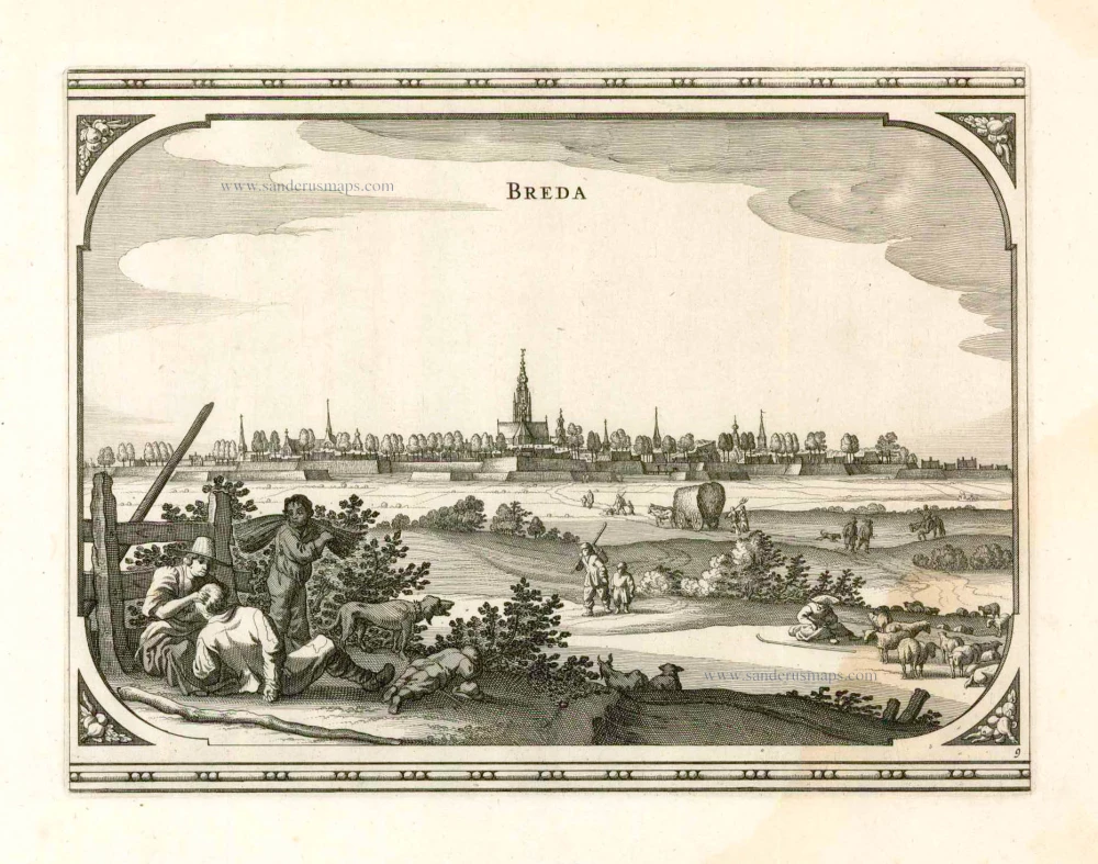
Breda, by Visscher N. - Schut P.H. 1656
Breda.
[Item number: 25376]
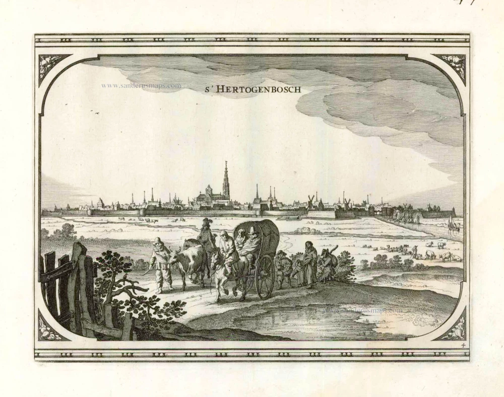
's-Hertogenbosch by Visscher N. - Schut P.H. 1656
s' Hertogenbosch.
[Item number: 25370]
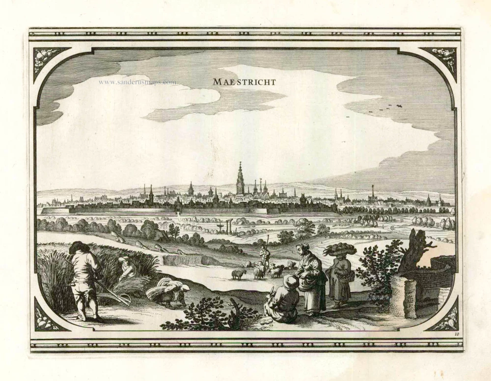
Maastricht, by Visscher N. - Schut P.H. 1656
Maestricht.
[Item number: 25378]
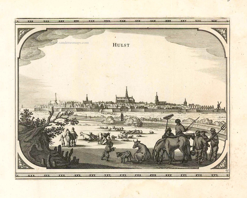
Hulst, by Visscher N. - Schut P.H. 1656
Hulst.
[Item number: 25460]
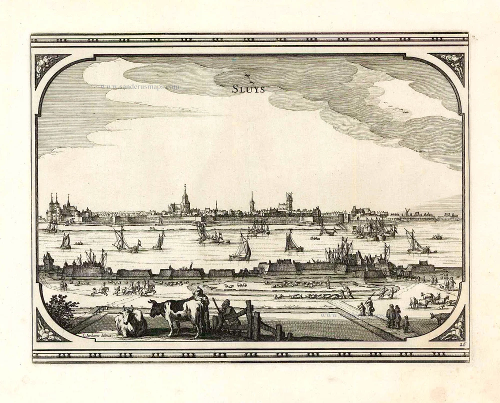
Old antique plan of Sluis by Visscher N. - Schut P.H. 1656
Sluys
[Item number: 25461]
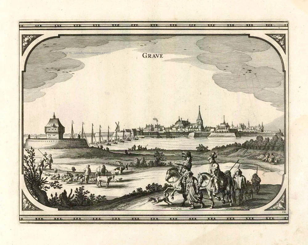
Grave, by Visscher N. - Schut P.H. 1656
Grave.
[Item number: 25467]
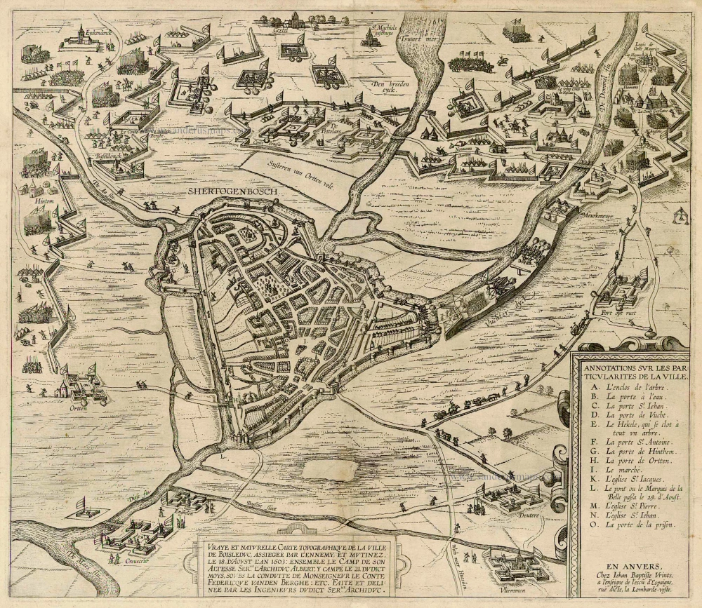
Extremely rare and important plan
's Hertogenbosch by J.B. Vrientius. c. 1603
Vraye et naturelle Carte topographique de la ville de Boisleduc,...
[Item number: 22488]