Antique maps catalogue
- All recent additions
-
Antique maps
- Polar maps
- World
-
Europe
- Europe Continent
- Belgium
- Belgium - Cities
- The Low Countries
- The Netherlands
- The Netherlands - Cities
- Luxembourg
- France
- France - Cities
- Germany
- Germany - Cities
- Austria
- Italy
- Italy - Cities
- Spain and Portugal
- Greece & Greek Islands
- Switzerland
- British Isles
- British Isles - Cities
- Northern Europe
- Central Europe
- Eastern Europe
- Southeastern Europe
- America
- Asia
- Africa
- Mediterranean Sea
- Australia
- Oceans
- Celestial Maps
- Curiosities
- Title Pages
- Books
- Medieval manuscripts
- Prints
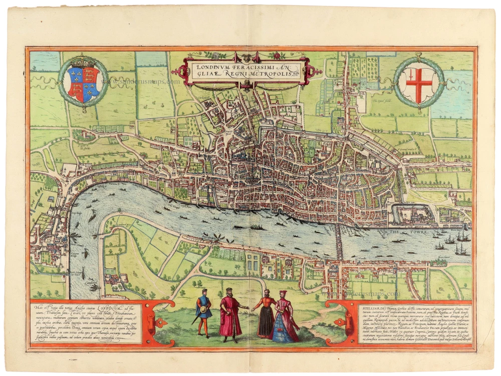
London by Georg Braun & Frans Hogenberg 1572
Londinum Feracissimi Angliae Regni Metropolis.
[Item number: 33149]

Arctic Region - North Pole by Gerard Mercator, first state published by Rumold Mercator. 1595
Septentrionalium Terrarum descriptio.
[Item number: 29799]
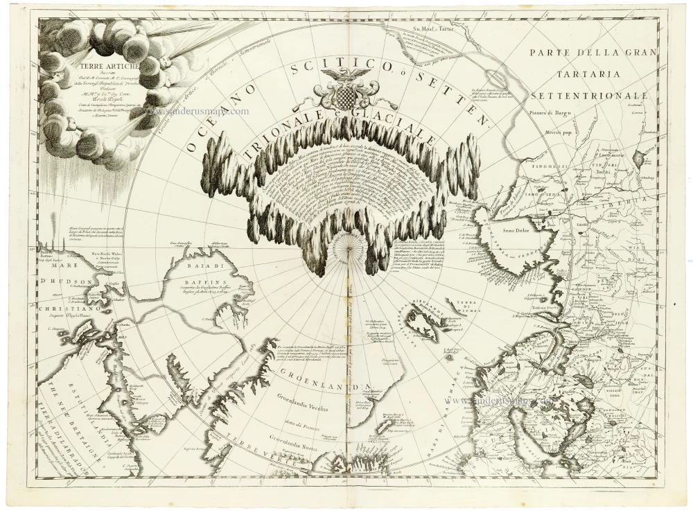
North Pole by Coronelli V.M. 1691
Terre Artiche.
[Item number: 33310]
new

Guyana - El Dorado by Theodore de Bry 1599
Neuwe Landtaffel, in welcher eigentlich, und warhafftiglich...
[Item number: 28292]
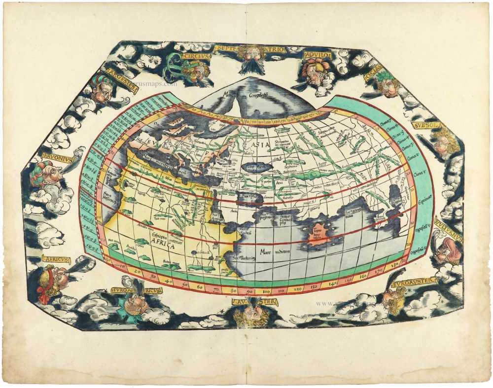
Ptolemaic world by Lorenz Fries after Martin Waldseemüller. 1525
[No title]
[Item number: 30649]
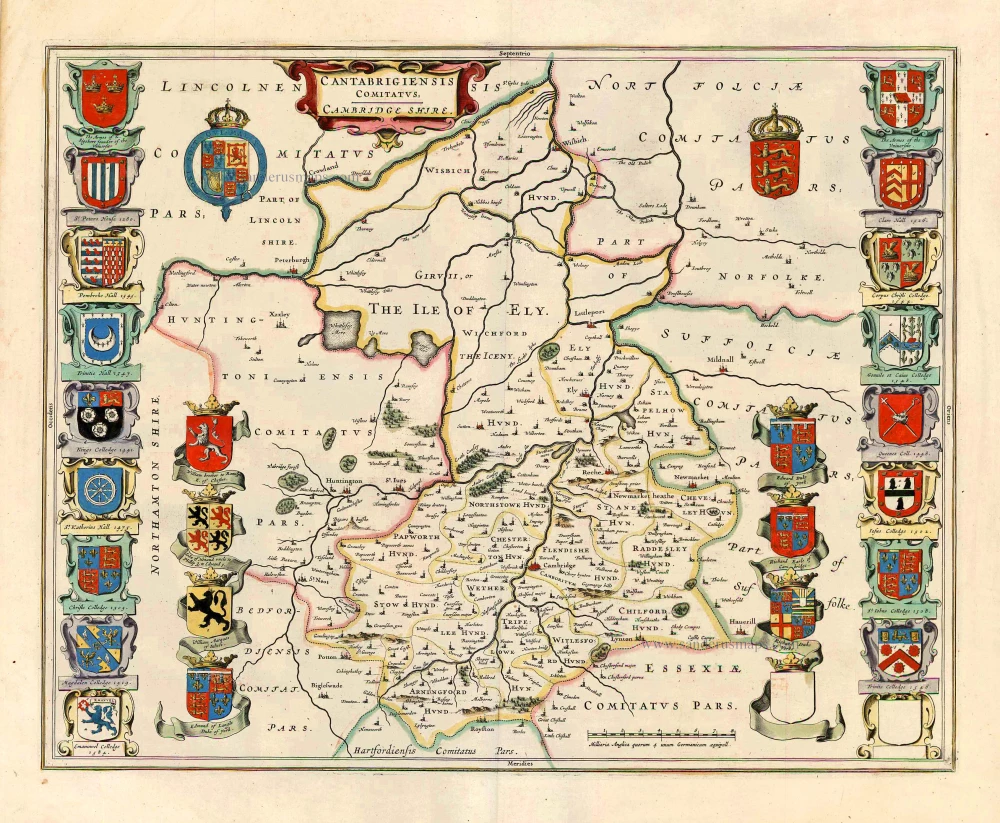
Cambridgeshire, by Joan Blaeu. 1645
Cantabrigiensis Comitatus; Cambridge Shire.
[Item number: 27571]
Recent additions
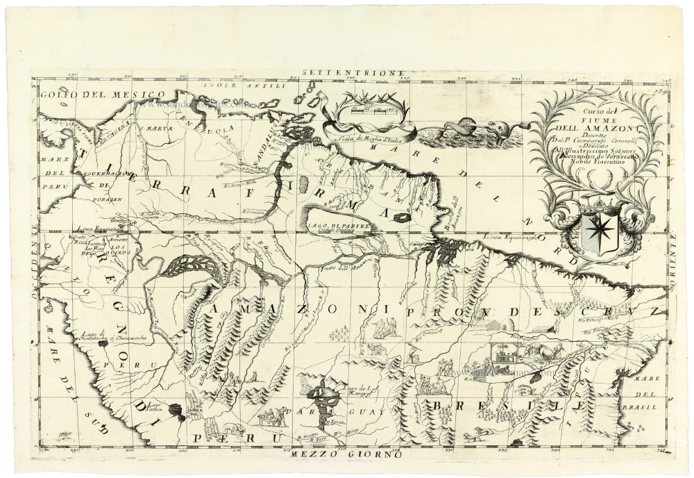
Amazon River Basin by V.M. Coronelli 1691
Corso del Fiume dell Amazoni,
[Item number: 33377]
new
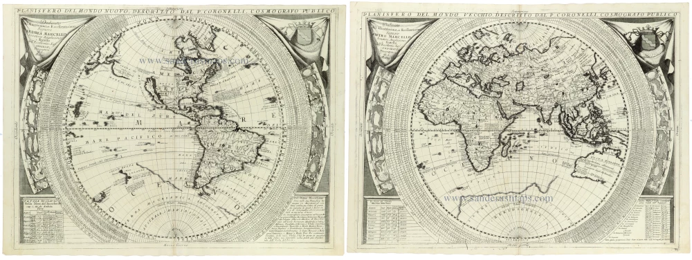
World - Set of two hemispheres by Coronelli V.M. (1650-1718 1691
Planisfero del Mondo Nuovo, [in set with] Planisfero del Mondo...
[Item number: 33302]
new
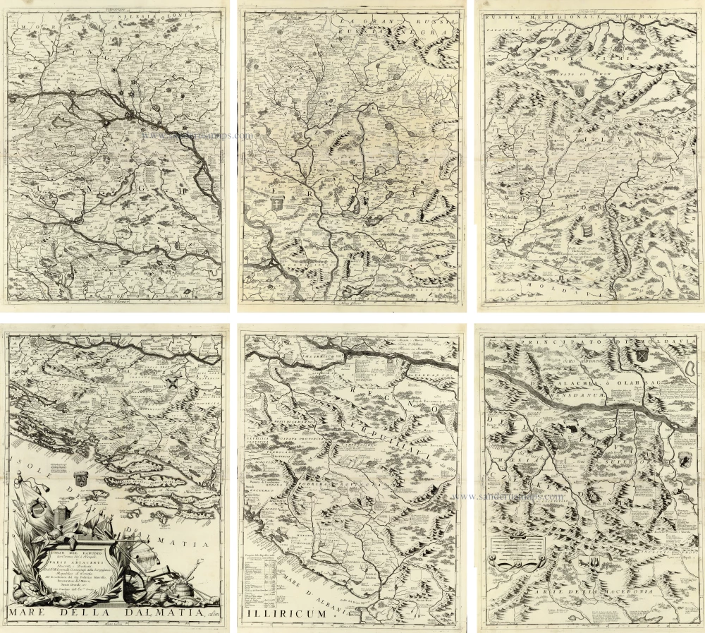
Impressive six-sheet map of the Danube River
Course of the Danube River by V.M. Coronelli. 1691
Corso del Danubio da Vienna sin' a Nicopoli e Paesi Adiacenti
[Item number: 33373]
new
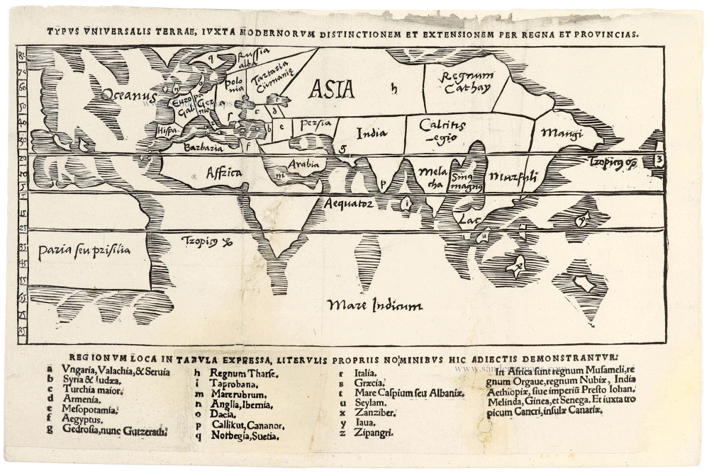
Very rare!
World by Gregor Reisch 1513
Typus Universalis Terrae, Iuxta Modernorum Distictionum Et...
[Item number: 33413]
new
Welcome to Sanderus Antiquariaat
Antiquariaat Sanderus, named after the famous Flemish historian, Antonius Sanderus, is specialised in antiquarian books, medieval manuscripts, antique maps and prints from the 15th to the 18th centuries.
The company is a member of the Antiquarian Booksellers’ Association (ABA), the “The Belgian Royal Chamber of Antiques and Art Dealers” and the International Association of Antique Map Dealers (IAMA).