Our catalogue catalogue
- All recent additions
-
Antique maps
- Polar maps
- World
-
Europe
- Europe Continent
- Belgium
- Belgium - Cities
- The Low Countries
- The Netherlands
- The Netherlands - Cities
- Luxembourg
- France
- France - Cities
- Germany
- Germany - Cities
- Austria
- Italy
- Italy - Cities
- Spain and Portugal
- Greece & Greek Islands
- Switzerland
- British Isles
- British Isles - Cities
- Northern Europe
- Central Europe
- Eastern Europe
- Southeastern Europe
- America
- Asia
- Africa
- Mediterranean Sea
- Australia
- Oceans
- Celestial Maps
- Curiosities
- Title Pages
- Books
- Medieval manuscripts
- Prints
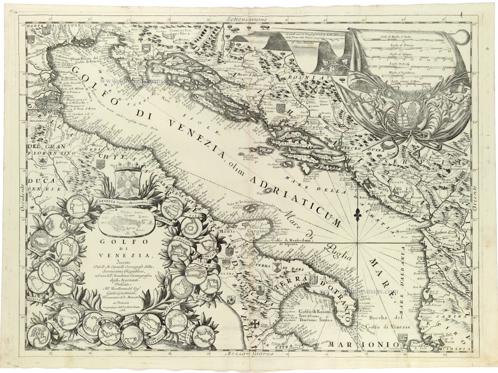
Adriatic Sea by Coronelli V.M. (1650-1718 1691
Golfo di Venezia
[Item number: 33346]
new
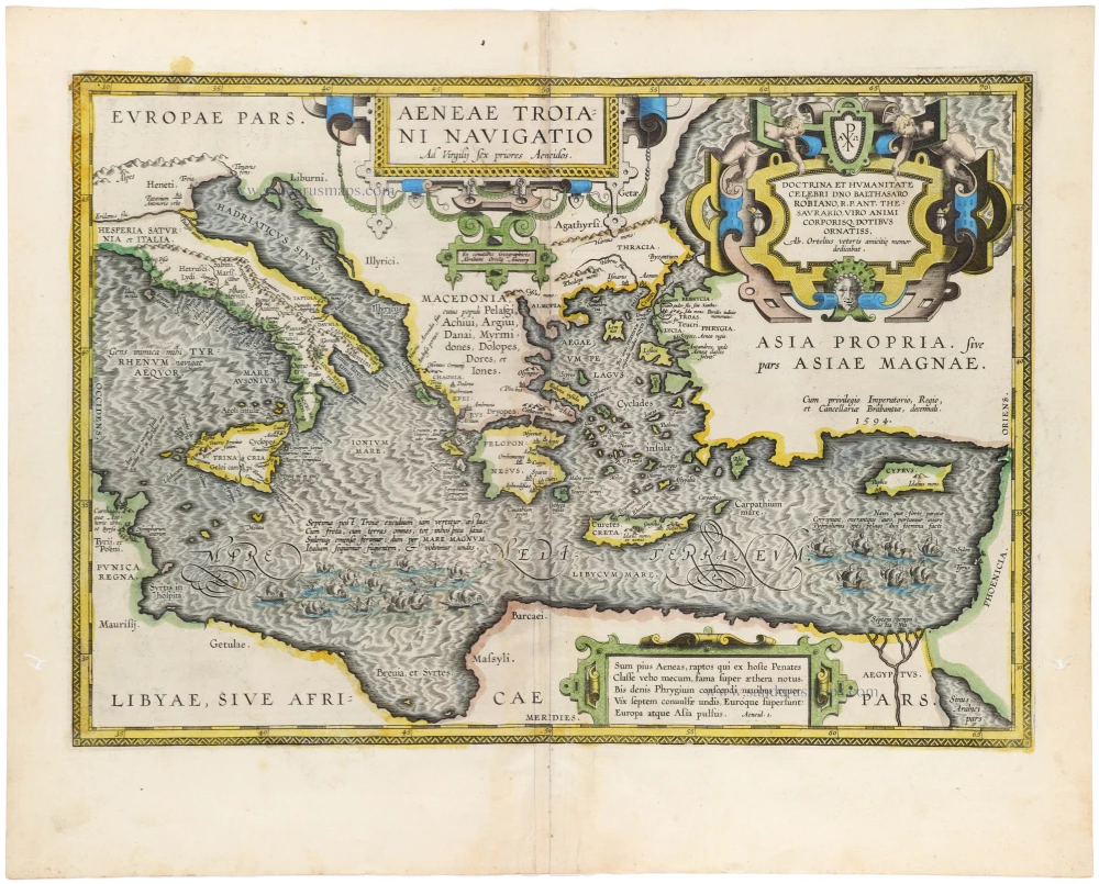
Aenea's travels by Abraham Ortelius. 1595
Aeneae Troiani Navigatio Ad Vergilij sex priores Aeneidos.
[Item number: 33277]
new
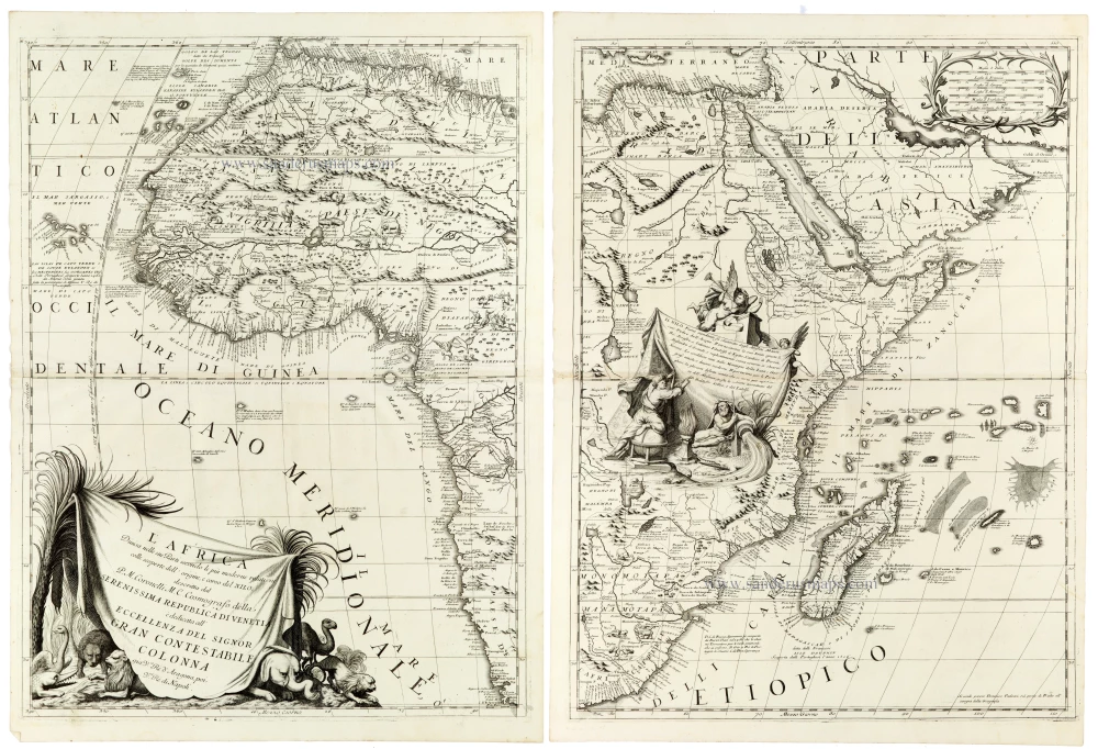
An outstanding example of late seventeenth-century Italian cartography
Africa by Coronelli V.M. 1691
L'Africa Divisa nelle sue Parti Secondo le Piu Moderne Relationi...
[Item number: 33307]
new

Africa by Nicolas Sanson. 1659
Afrique.
[Item number: 33215]
new
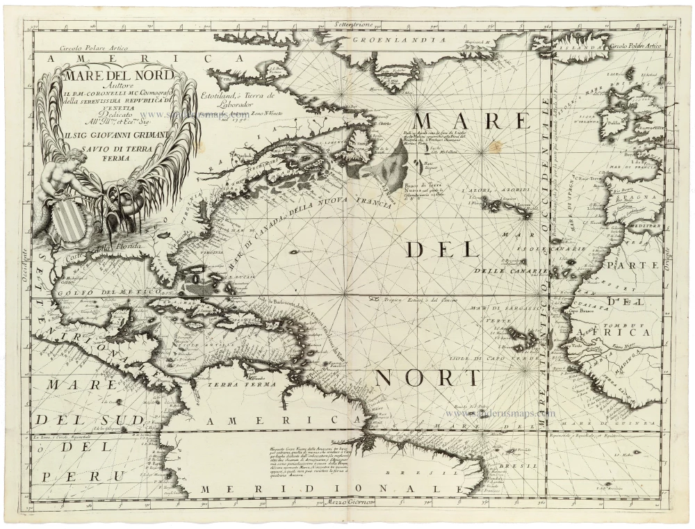
America - Atlantic Ocean, by Vincenzo Coronelli. 1691
Mare del Nord
[Item number: 33344]
new
First plate
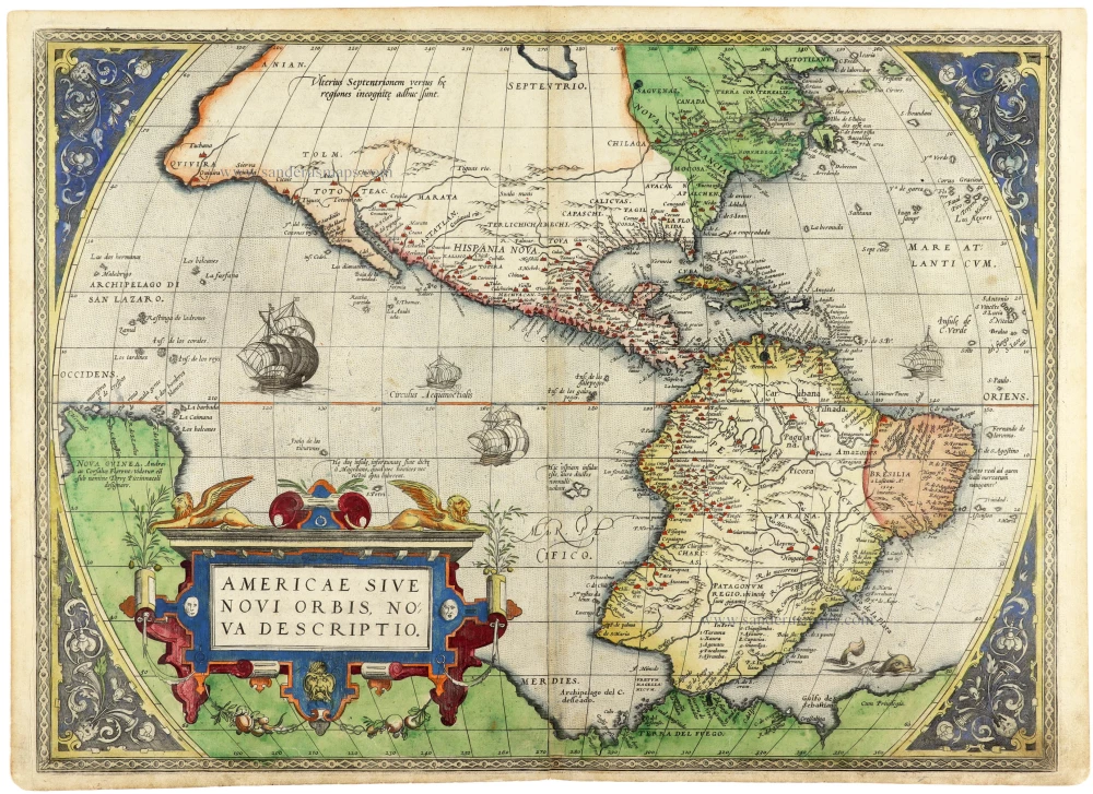
America by Abraham Ortelius. 1572
Americae Sive Novi Orbis, Nova Descriptio.
[Item number: 33283]
new
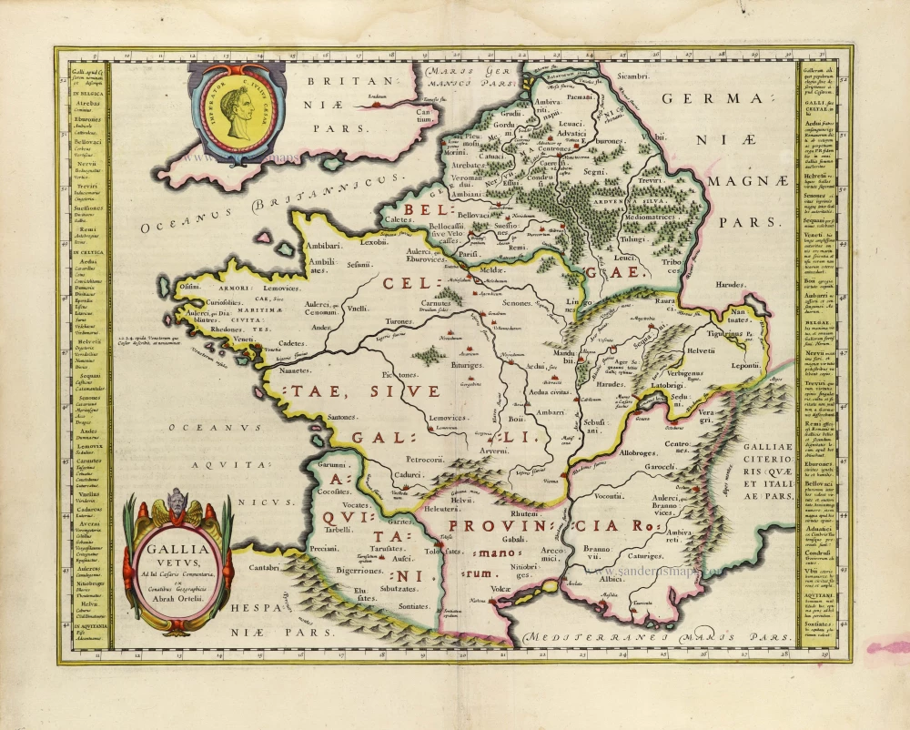
Ancient France, by Willem Blaeu. 1635
Gallia Vetus.
[Item number: 33213]
new

Ancient Sicily, by Johannes Janssonius. 1630
Siciliae Veteris Typus.
[Item number: 33209]
new

Archbishopric and Electorate of Trier with the course of the Moselle River, by Johann Baptist Homann. 1712
Mosellae Fluminis Tabula Specialis in qua Archiepiscopatus et...
[Item number: 33229]
new

Archdiocese of Mainz (Western Franken), by Johann Baptist Homann. 1712
Circuli Franconiae Pars Occidentalis, exhibens simul integrum...
[Item number: 33230]
new
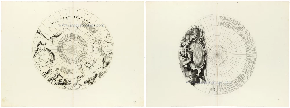
Arctic and Antarctic - North and South Polar calottes from Coronelli's 110-centimetre Terrestrial Globe 1691
[No title]
[Item number: 33311]
new
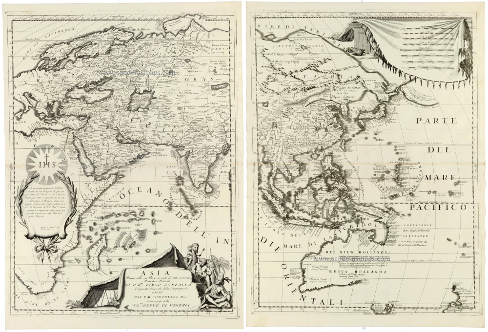
Asia by Coronelli V.M. 1691
Asia Divisa nelle sue Parti secondo lo stato presente,
[Item number: 33303]
new

Asia by Nicolas Sanson. 1659
Asie
[Item number: 33216]
new

Austria - Tyrol by Nicolas Sanson. 1659
Le Tirol, souz le Nom duquel s'entendent le Comté de Tirol; puis...
[Item number: 33248]
new

Austria and southern Bavaria, by Johann Baptist Homann. 1712
Germaniae Austriacae Generalem Tabulam
[Item number: 33257]
new
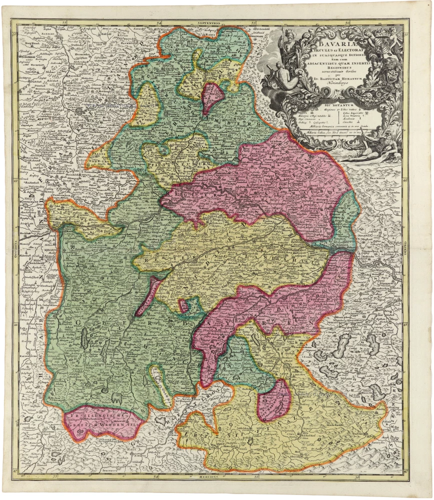
Bavaria by Johann Baptist Homann. 1712
Bavariae Circulus et Electorat in suas quasque Ditiones tam cum...
[Item number: 33232]
new

Bohemia, Silesia Moravia, Lusatia (Sorbia), by J.B. Homann. 1712
Regni Bohemiae, ducatus Silesiae, Marchionatus Moraviae et...
[Item number: 33260]
new

The largest printed map of California as an island.
California by Nicolas de Fer. 1720
La Californie ou Nouvelle Caroline. Teatro de los Trabajos,...
[Item number: 33204]
new
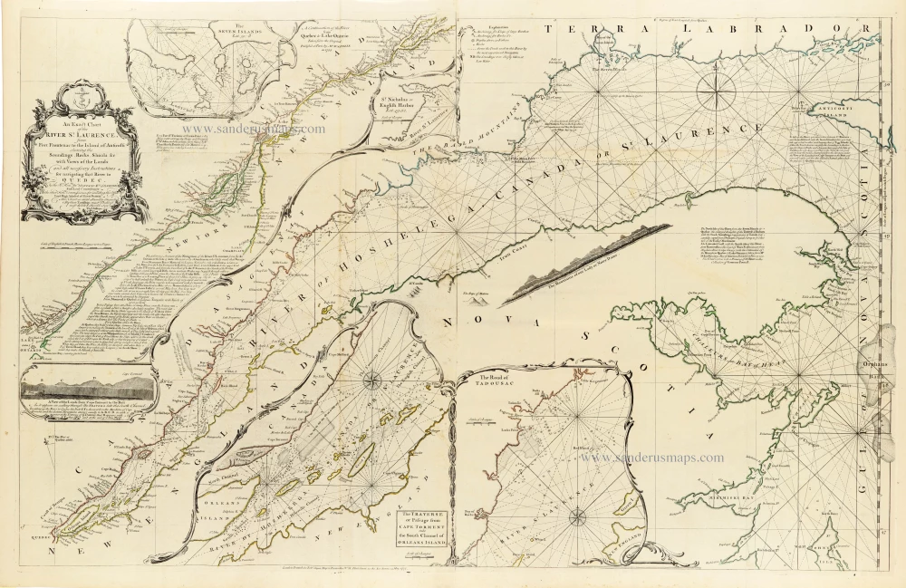
Canada - St. Laurence River by Thomas Jeffery, published by Robert Sayer, 1775
An Exact Chart of the River St. Laurence, from Fort Frontenac to...
[Item number: 33362]
new

Central America - Panama by Pierre Mortier. 1700
Carte Particuliere de Isthmus ou Darien qui Comprend le Golfe de...
[Item number: 33208]
new

Central Westfalen - Diocese of Münster and adjacent regions, by Gerard Mercator, published by Henricus Hondius. c. 1630-1650
[No title]
[Item number: 33281]
new
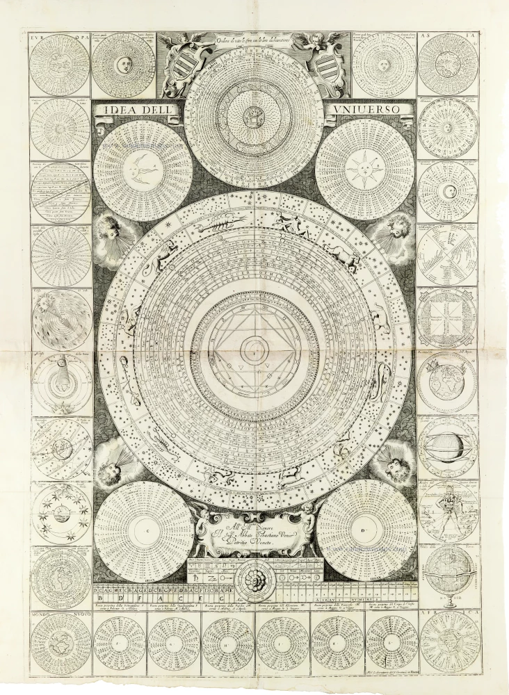
Vincenzo Coronelli’s most spectacular cosmographical plate
Cosmographical chart by Vincenzo Coronelli 1691
Idea dell’Universo. Ordine di tutte le Sfere, con la loro...
[Item number: 33300]
new

Dauphine, Rhone-Alpes, by Johann Baptist Homann. 1712
Tabula Delphinatus Vulgo Le Gouvernement General du Dauphiné in...
[Item number: 33254]
new
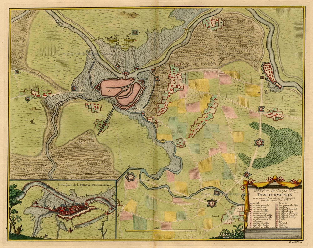
Dendermonde by Rapin de Thoyras 1744-47
Plan de la Ville de Dendermonde et la manière dont elle a été...
[Item number: 373]
new

Duchy of Namur by Lodovico Guicciardini. 1581
Namurcum, Comitatus.
[Item number: 33214]
new
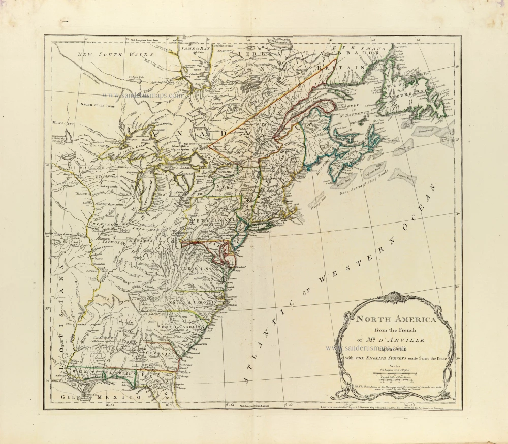
Eastern North America by J.B. Bourguignon d'Anville, published by Robert Sayer and John Bennett. 1775
North America from the French of Mr. d'Anville improved with The...
[Item number: 33360]
new
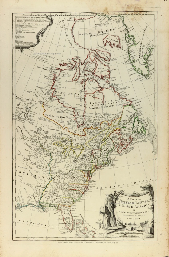
Eastern North America by Samuel Dunn, published by Robert Sayer and John Bennett. 1776
A map of the British Empire, in North America
[Item number: 33361]
new
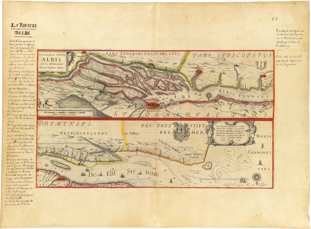
Elbe River - Hamburg by Blaeu W. c. 1620-1650
Celeberrimi Fluvii Albis nova delineatio
[Item number: 33286]
new
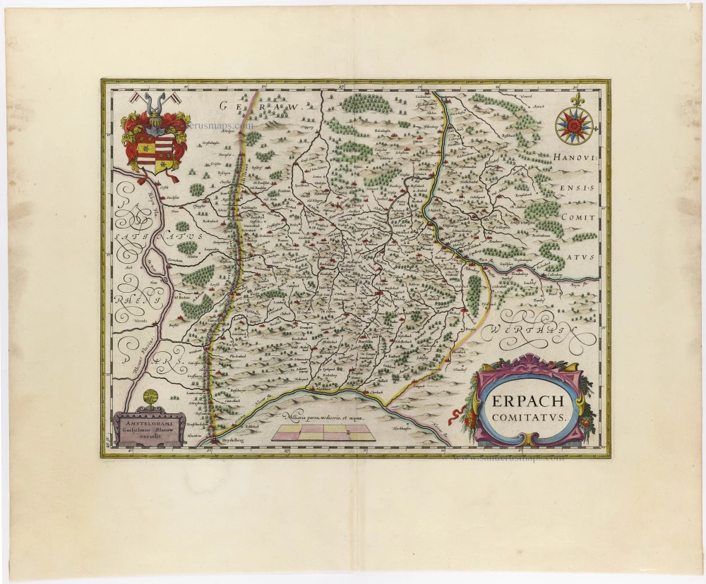
Erbach by J. Blaeu 1659-72
Erpach Comitatus
[Item number: 9545]
new

Europe by Nicolas Sanson. 1659
L'Europe.
[Item number: 33249]
new
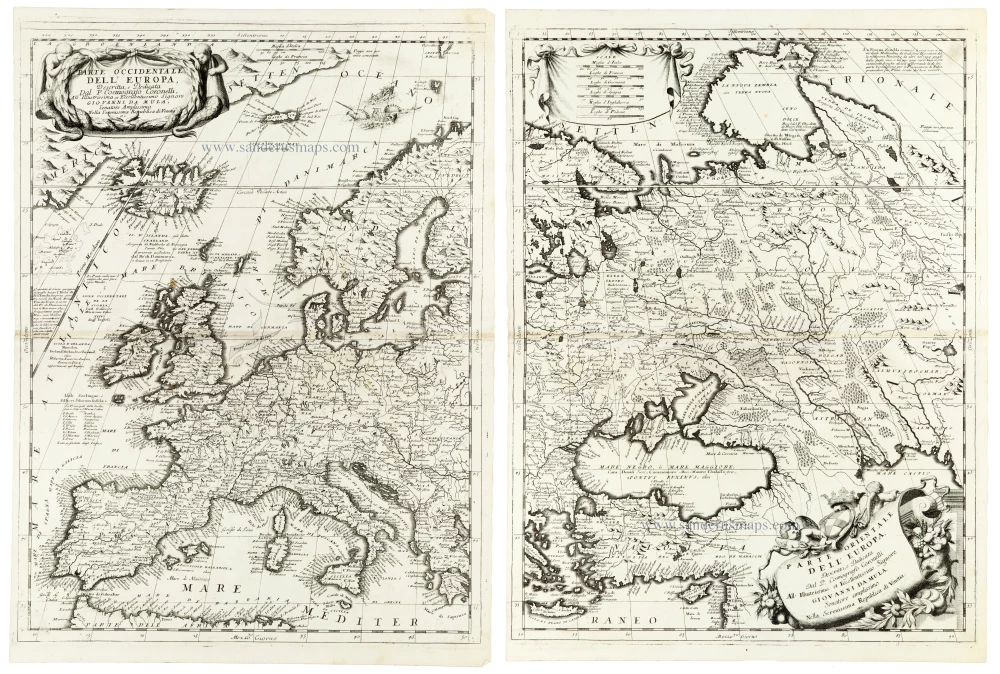
Europe, by V.M. Coronelli. 1691
Parte Occidentale dell'Europa [in set with] Parte Orientale...
[Item number: 33305]
new

France by Johann Baptist Homann. 1712
Totius Regni Galliae Sive Franciae et Navarrae Novißima Tabula.
[Item number: 33252]
new

Franconia (Bavaria) by Johann Baptist Homann. 1712
Circuli Franconiae pars Orientalis et Potoir novissime delineata
[Item number: 33228]
new

Frankfurt am Main by Georg Braun & Frans Hogenberg. 1582
Civitas Francofordiana ad Moe:
[Item number: 28664]
new
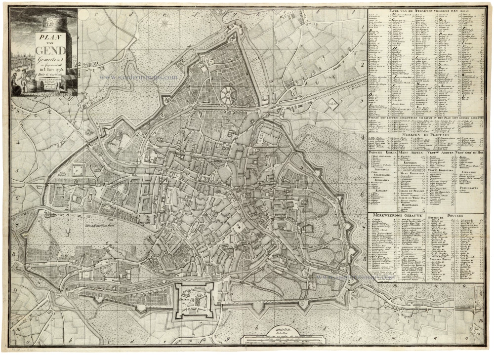
An exceptionally accurate map of Ghent for its time
Gent by George Goethals. 1796
Plan van Gend.
[Item number: 33285]
new

Germania - River System, by Johann Baptist Homann. 1712
Hydrographia Germaniae qua Geographiae Naturalis ...
[Item number: 33256]
new