Antique maps catalogue
- All recent additions
-
Antique maps
- Polar maps
- World
-
Europe
- Europe Continent
- Belgium
- Belgium - Cities
- The Low Countries
- The Netherlands
- The Netherlands - Cities
- Luxembourg
- France
- France - Cities
- Germany
- Germany - Cities
- Austria
- Italy
- Italy - Cities
- Spain and Portugal
- Greece & Greek Islands
- Switzerland
- British Isles
- British Isles - Cities
- Northern Europe
- Central Europe
- Eastern Europe
- Southeastern Europe
- America
- Asia
- Africa
- Mediterranean Sea
- Australia
- Oceans
- Celestial Maps
- Curiosities
- Title Pages
- Books
- Medieval manuscripts
- Prints
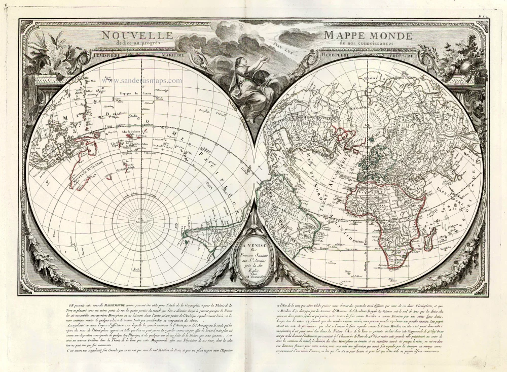
World by Francesco Santini. 1776-79
Nouvelle Mappe Monde Dediee au Progres de nos Connoissances.
[Item number: 26946]
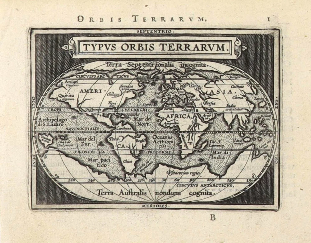
The world by Abraham Ortelius / Philippe Galle. 1589
Typus Orbis Terrarum.
[Item number: 29605]

The Universal Zeig und Schlaf-Uhr, designed by Zacharias Landteck, published by J.B. Homann. c. 1720
Iohann Baptistae Homanns Neu inventirte Geographische Universal...
[Item number: 32037]
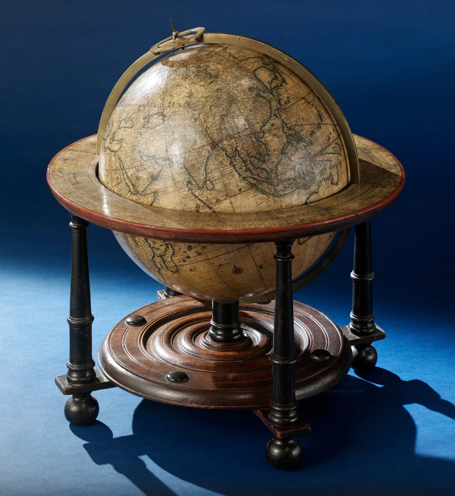
TERRESTRIAL GLOBE by Valk G. 1707
Cosmotheore, Caelesti nostro Globo, Par; et plane Novus, Hic...
[Item number: 21384]
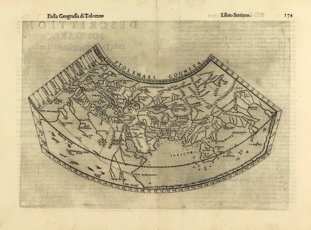
Ptolemaic world map by Giuseppe Rosaccio. 1598
Ptolemaei Cognita.
[Item number: 28290]
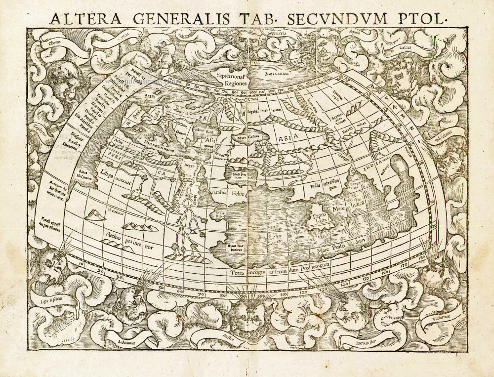
Ptolemaic world by Sebastian Münster 1559
Altera Generalis Tab. Secundum Ptol.
[Item number: 11981]
![[No title]](https://sanderusmaps.com/assets/WEBP/m30649.webp)
Rare 1525 edition in nice old colour.
Ptolemaic world by Lorenz Fries after Martin Waldseemüller. 1525
[No title]
[Item number: 30649]

Ancient world by A. Ortelius 1601
Geographia Sacra
[Item number: 24987]
![Typus Orbis Terrarum, [in set with:] Europa, [and] Asia, [and] Americae Descrip., [and] Africae Descriptio.](https://sanderusmaps.com/assets/WEBP/m27088.webp)
World + Continents, by Jodocus Hondius. 1607
Typus Orbis Terrarum, [in set with:] Europa, [and] Asia, [and]...
[Item number: 27088]
![[No title]](https://sanderusmaps.com/assets/WEBP/m28158.webp)
California as an island.
Northern Hemisphere by Johann Baptist Homann. 1731
[No title]
[Item number: 28158]
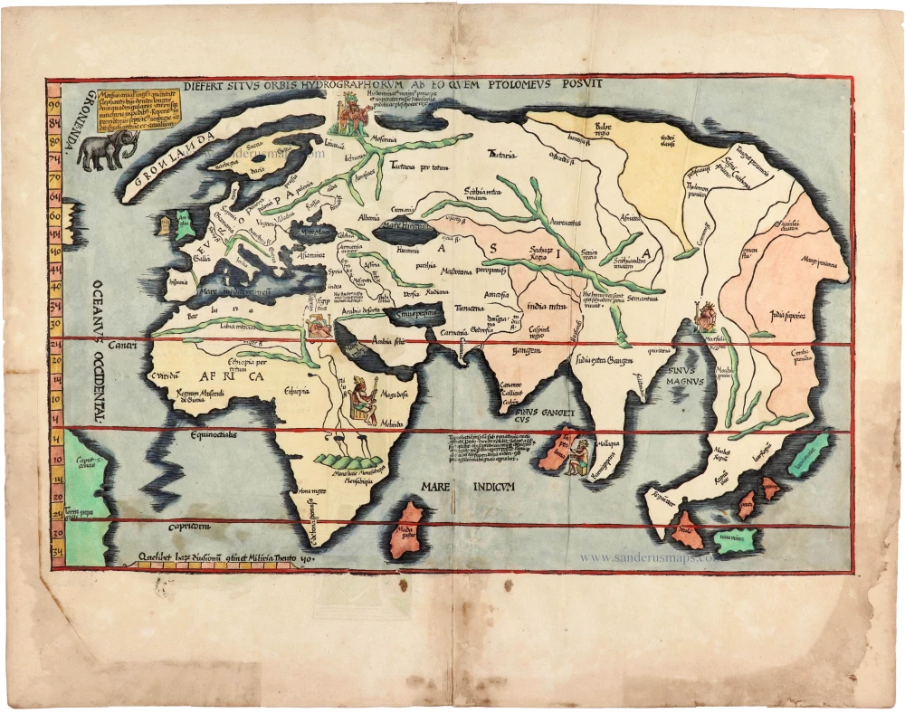
Rare 1525 edition of the second modern world map by Fries, in nice old colour.
Modern world map, by Lorenz Fries, after Martin Waldseemüller. 1525
Diefert Situs Orbis Hydrographorum Ab Eo Quem Ptolomeus Posuit.
[Item number: 30661]
![Typus Orbis Terrarum [in set with] Africae Tabula Nova [and] Americae sive Novi Orbis, Nova Descriptio [and] Asiae Nova Descriptio [and] Europae.](https://sanderusmaps.com/assets/WEBP/m29259.webp)
Superb world set.
Abraham Ortelius, 1584 World and Continents 1584
Typus Orbis Terrarum [in set with] Africae Tabula Nova [and]...
[Item number: 29259]

Luxury colouring.
Double-hemisphere world map, by Nicolaas Visscher I. c. 1678
Orbis Terrarum Nova et Accuratissima Tabula.
[Item number: 28934]

A fine ornate example of the decorative cartography of the time.
Double-hemisphere world map by Henricus Hondius. 1641
Nova Totius Terrarum Orbis Geographica ac Hydrographica Tabula....
[Item number: 28768]
![[no title]](https://sanderusmaps.com/assets/WEBP/m31560.webp)
Gottfried's first edition 1631
Willem C. Schouten, world map published by Gottfried. 1631
[no title]
[Item number: 31560]

Double hemisphere world map by Nicolas Sanson. 1652
Mappe-Monde, ou Carte Generale du Monde,
[Item number: 29612]

Rare first state of Danckerts beautiful world map
Double hemisphere world map by Justus Danckerts c. 1680
Nova Totius Terrarum Orbis Tabula..
[Item number: 32456]
![[No title]](https://sanderusmaps.com/assets/WEBP/m32507.webp)
The most mystical world map of all time.
Daniel's Dream Map. The Wittenberg world map by Hanss Luft. 1560-1600
[No title]
[Item number: 32507]
![[Title above map:] La Description des Hyperborees.](https://sanderusmaps.com/assets/WEBP/m28390.webp)
Scarce.
Arctic Region by Petrus Bertius. 1618
[Title above map:] La Description des Hyperborees.
[Item number: 28390]
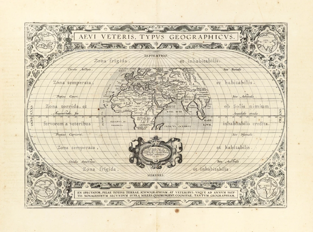
Ancient World by Abraham Ortelius. 1601
Aevi Veteris, Typus Geographicus.
[Item number: 22609]