Antique maps catalogue
- All recent additions
-
Antique maps
- Polar maps
- World
-
Europe
- Europe Continent
- Belgium
- Belgium - Cities
- The Low Countries
- The Netherlands
- The Netherlands - Cities
- Luxembourg
- France
- France - Cities
- Germany
- Germany - Cities
- Austria
- Italy
- Italy - Cities
- Spain and Portugal
- Greece & Greek Islands
- Switzerland
- British Isles
- British Isles - Cities
- Northern Europe
- Central Europe
- Eastern Europe
- Southeastern Europe
- America
- Asia
- Africa
- Mediterranean Sea
- Australia
- Oceans
- Celestial Maps
- Curiosities
- Title Pages
- Books
- Medieval manuscripts
- Prints
Mercator projection
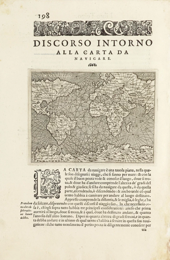
World by Thomaso Porcacchi. 1590
Discorso Intorno alla Carta da Navigare.
[Item number: 29786]
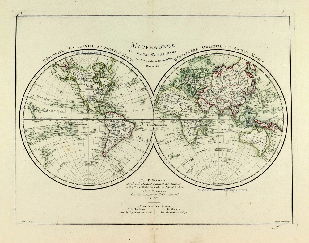
World map, double hemisphere by Pierre Grégoire Chanlaire. c. 1797
Mappemonde en deux Hémisphères.
[Item number: 28209]
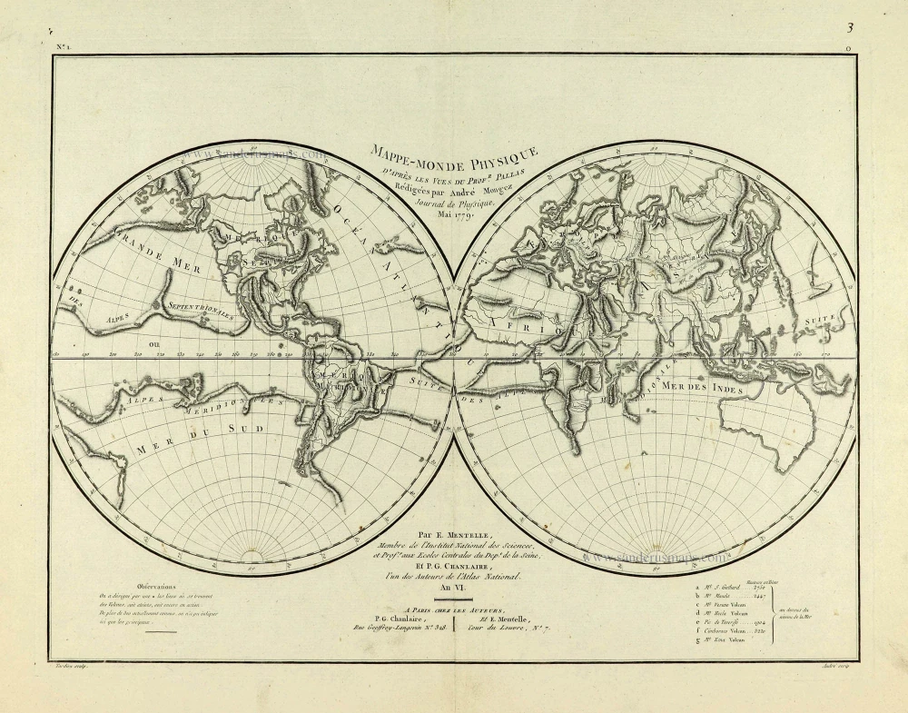
World map, double hemisphere by Pierre Grégoire Chanlaire. c. 1797
Mappe-Monde Physique.
[Item number: 28210]
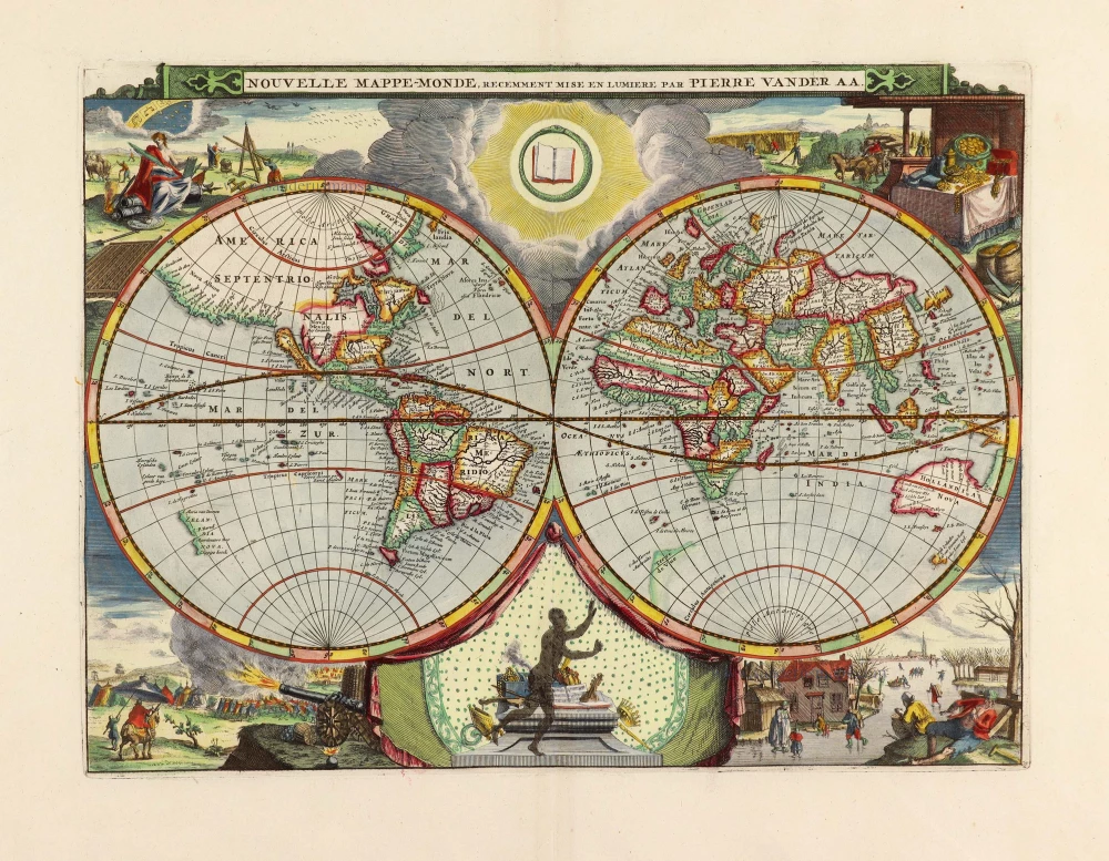
World by Pieter Van der Aa, double hemisphere. 1710
Nouvelle Mappe-Monde,
[Item number: 29136]
![[no title]](https://sanderusmaps.com/assets/WEBP/m31601.webp)
Rare first edition
World map in two hemispheres by Willem W. Schouten. 1618
[no title]
[Item number: 31601]
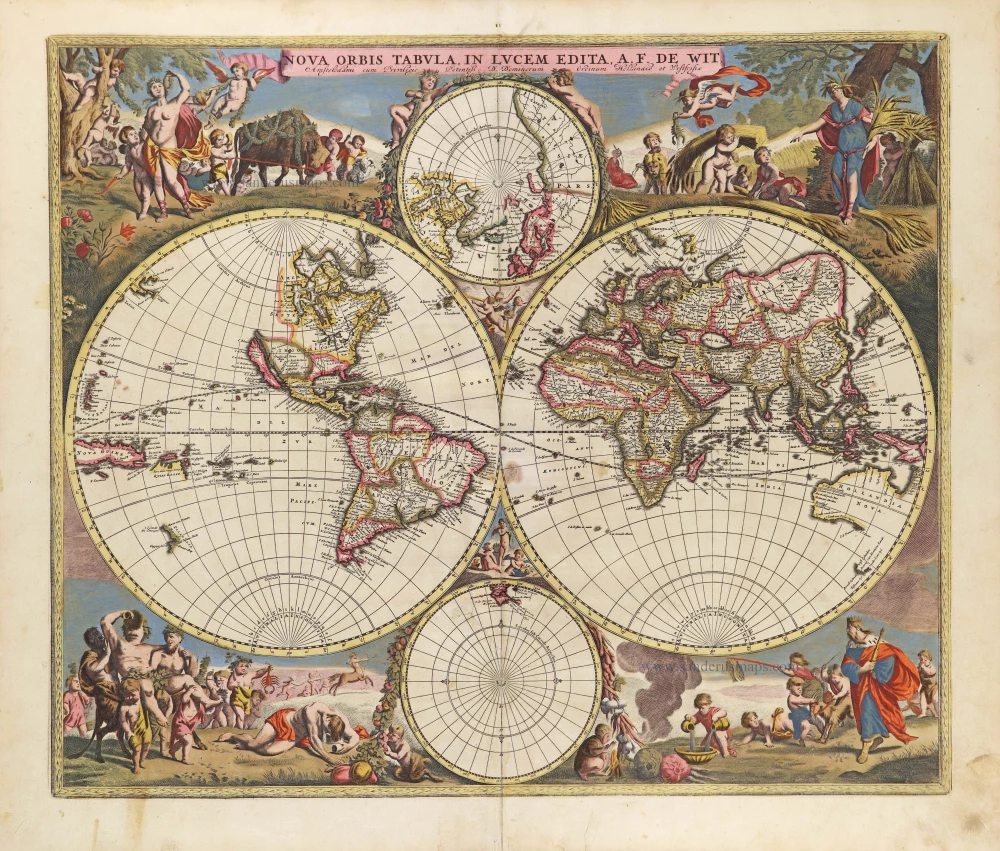
World by Frederik De Wit, double hemisphere. c. 1690
Nova Orbis Tabula in Lucem Edita, A. F. De Wit.
[Item number: 29231]
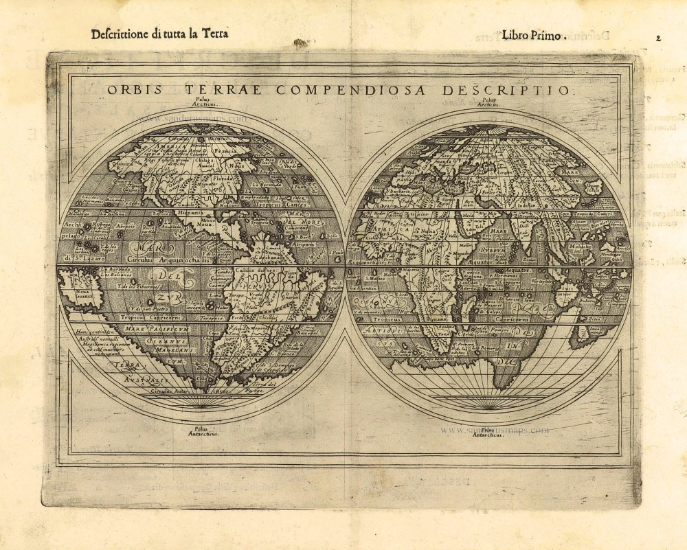
First edition, scarce
World by Giuseppe Rosaccio, double hemisphere. 1598
Orbis Terrae Compendiosa Descriptio.
[Item number: 28289]

World map by Zacharias Châtelain. 1713
Mapmonde ou description generale du Globe Terrestre.
[Item number: 29555]

World map by Nicolas Sanson, so-called published by Hubert Jaillot. (Pirated edition by Pierre Mortier). 1692
Mappe-Monde Geo-Hydrographique, ou Description Generale du Globe...
[Item number: 31136]
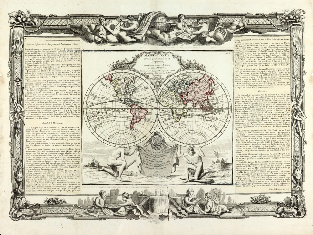
World map by Louis Brion de la Tour, published by L.C Desnos. 1766-1780
Mappe-Monde
[Item number: 30100]

World map by Jacques-Nicolas Bellin, published by A.F. Prévost. 1750
An Essay of a New and Compact Map, containing the known parts of...
[Item number: 31883]
![[No title]](https://sanderusmaps.com/assets/WEBP/m28159.webp)
The most mystical world map of all time.
Daniel's Dream Map. The Wittenberg world map. 1560-1600
[No title]
[Item number: 28159]

Rare variant.
World map by H. Bünting - D.A. Veleslavina. 1592
Cosmographia Universalis.
[Item number: 26356]
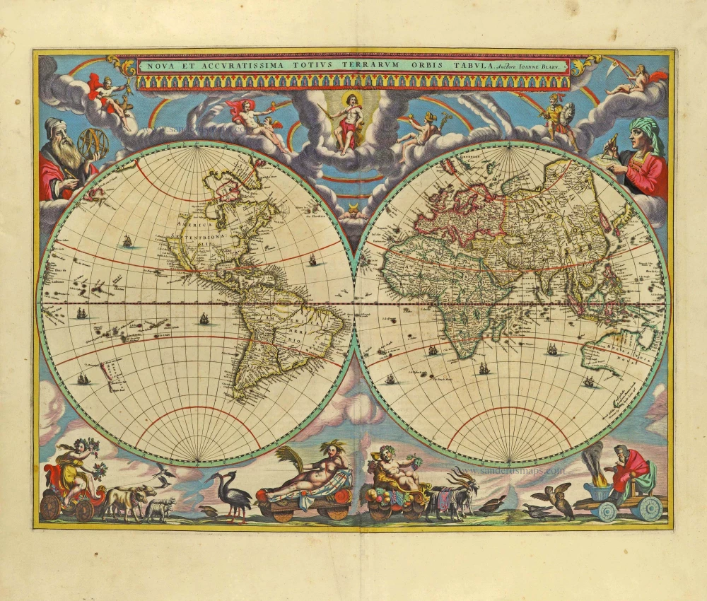
The engraving and layout and elegance of decoration are all of the highest standards.
World by Joan Blaeu, double hemisphere. 1659
Nova Et Accuratissima Totius Terrarum Orbis Tabula.
[Item number: 28336]

World in two hemisphers by Giovanni De Rossi, after Nicolas Sanson. 1677
Mappa Mondo O Vero Carta Generale Del Globo Terestre
[Item number: 32885]
new

World in two hemisperes, by Girolamo Ruscelli. 1574
Orbis Descriptio.
[Item number: 32433]

'One of the supreme examples of map maker's art' (Shirley)
World by Willem Blaeu, in Mercator projection. 1643
Nova Totius Terrarum Orbis Geographica ac Hydrographica.
[Item number: 30271]

World chart by Girolamo Ruscelli. 1574
Carta Marina Nuova Tavola.
[Item number: 32432]

'One of the supreme examples of map maker's art' (Shirley)
World by Willem Blaeu, in Mercator projection. 1635
Nova Totius Terrarum Orbis Geographica ac Hydrographica.
[Item number: 32683]
new
![[No title]](https://sanderusmaps.com/assets/WEBP/m30719.webp)
Heightened in gold and silver
World by Theodore De Bry, Great Voyages, 1599
[No title]
[Item number: 30719]
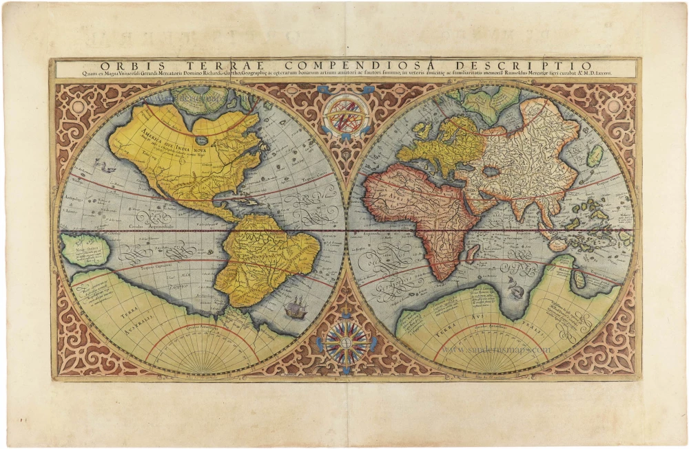
World by Mercator Rumold, double hemisphere. 1613
Orbis Terrae Compendiosa Descriptio.
[Item number: 30942]
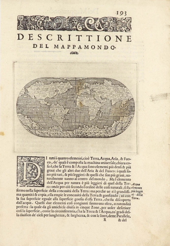
World by Porcacchi Tommaso. 1572
Descrittione Del Mappamondo.
[Item number: 28910]
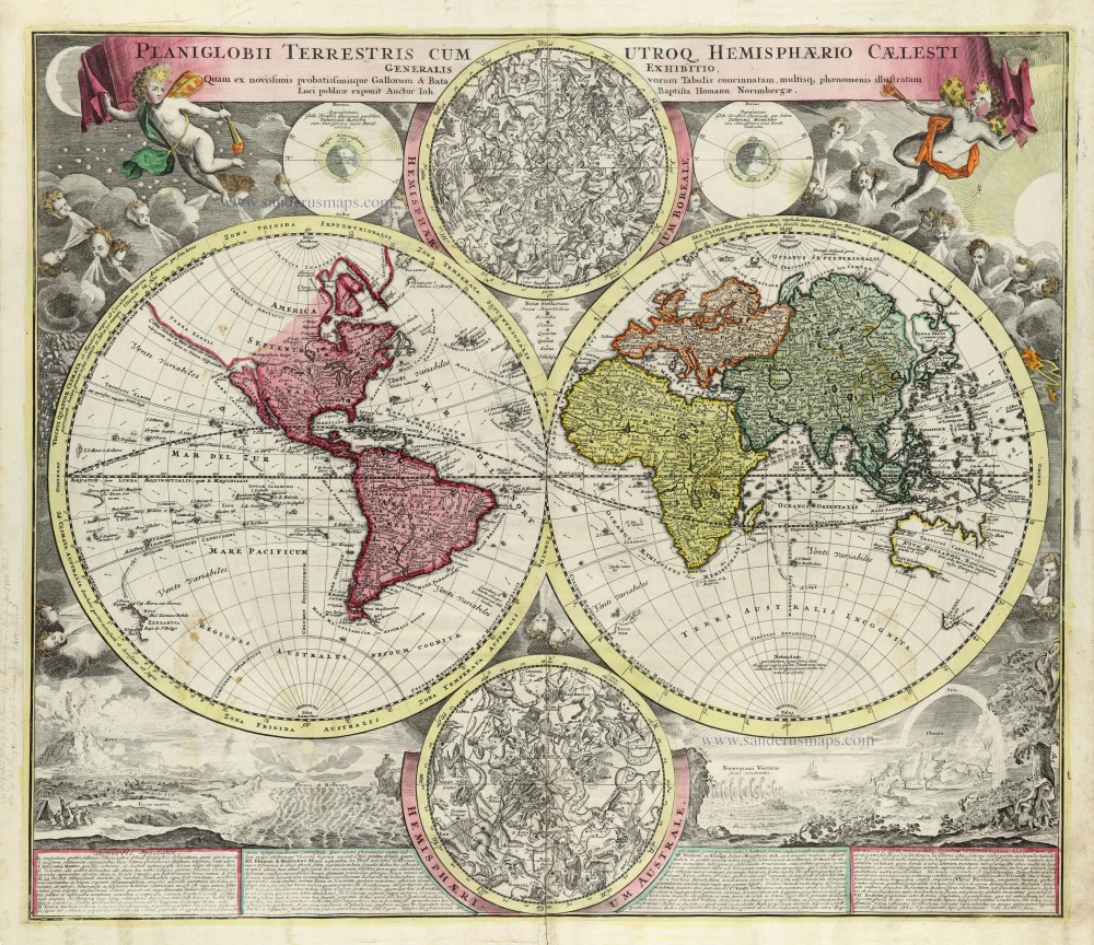
World by Homann J.B., double hemisphere. c. 1720
Planiglobii Terrestris cum Utroq Hemisphaerio Caelesti Generalis...
[Item number: 32099]

Early Mercator projection
World by Giovanni Magini. 1597
Universi Orbis Descriptio Ad Usum Navigantium.
[Item number: 32281]

World by Giovanni Magini 1597
Universi Orbis Descriptio.
[Item number: 27837]

Beautiful example of this important world map
World by Abraham Ortelius. 1584
Typus Orbis Terrarum.
[Item number: 32090]
![Typus Orbis Terrarum. [in set with:] America, [and] Europa, [and] Africa, [and] Asia.](https://sanderusmaps.com/assets/WEBP/m16457.webp)
Rare first edition
World and Continents by Barent Langenes & Cornelis Claesz. Five maps. 1598
Typus Orbis Terrarum. [in set with:] America, [and] Europa,...
[Item number: 16457]
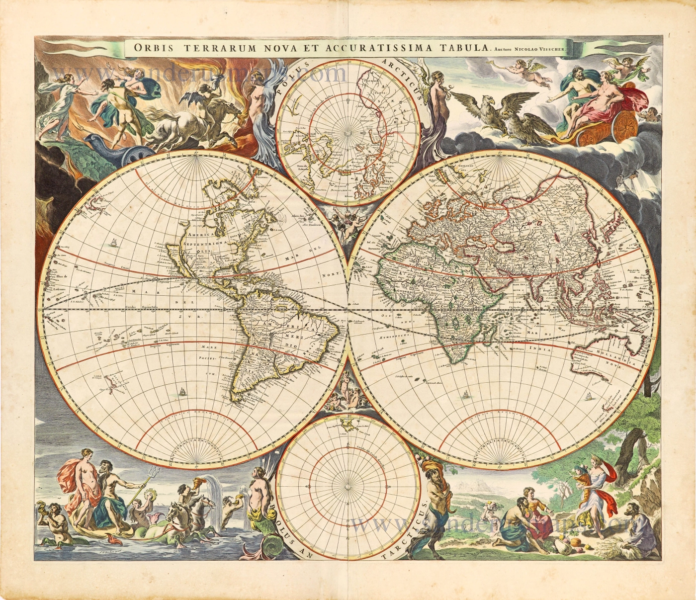
World by Nicolaas Visscher, double hemisphere. c. 1678
Orbis Terrarum Nova et Accuratissima Tabula.
[Item number: 28628]
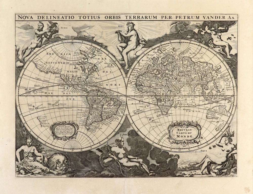
World by Pieter Van der Aa - double hemisphere. 1702
Nova Delineatio Totius Orbis Terrarum per Petrum Van der Aa. -...
[Item number: 30150]
Superb old colouring, heightened with gold.
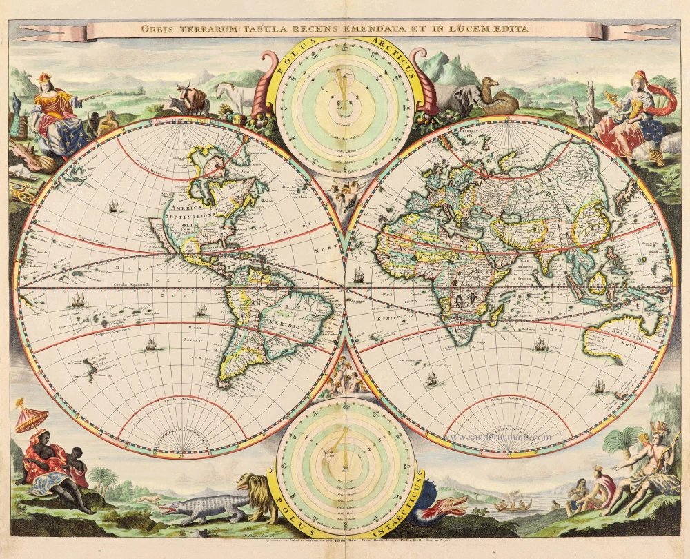
World - Double Hemisphere, by Daniel Stoopendaal 1714
Orbis Terrarum Tabula Recens Emendata Et In Lucem Edita
[Item number: 30635]
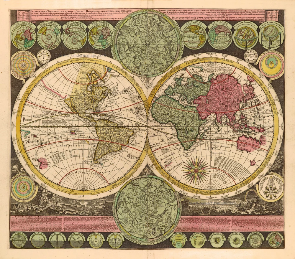
World by Zürner A.F., double hemisphere. c. 1700
Planisphaerium Terrestre cum utroque Coelesti Hemisphaerio, sive...
[Item number: 28229]
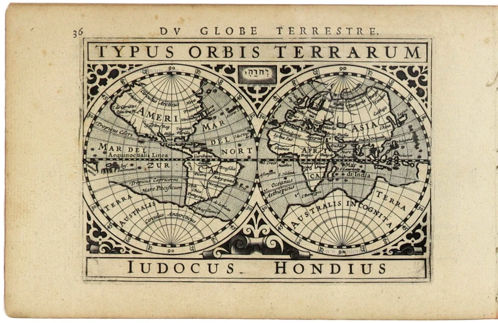
World by Petrus Bertius, published by Jodocus Hondius II. 1618
Typus Orbis Terrarum.
[Item number: 31520]
Rare original colour.
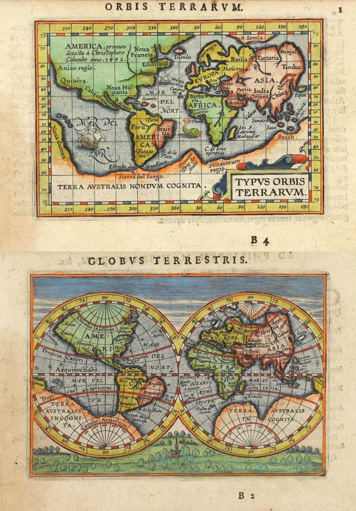
Two world maps by A. Ortelius, published by J.B. Vrients. 1609
Typus Orbis Terrarum - Globus Terrestris.
[Item number: 29861]
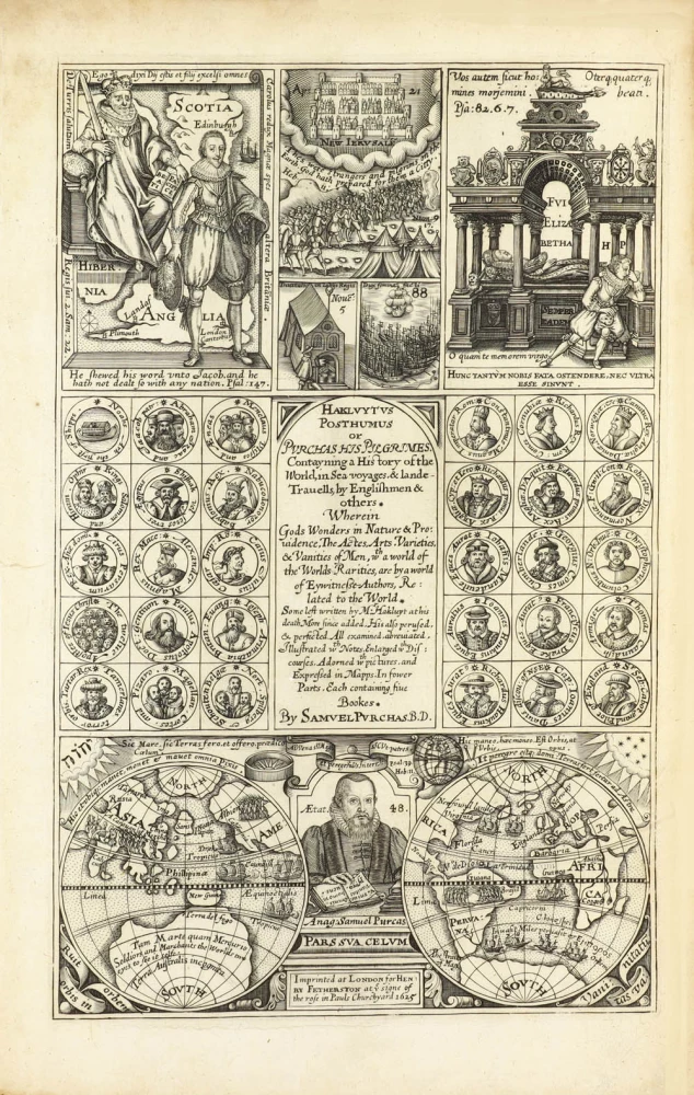
Rare title page of Purchas's Pilgrimes, with his portrait and worldmap
Samuel Purchas ' title page with a world map and portrait 1625
Hakluytus Posthumus, or Purchas His Pilgrimes
[Item number: 32417]
![[No title]](https://sanderusmaps.com/assets/WEBP/m30725.webp)
Drake map heightened in gold and silver
World by Theodore De Bry, Great Voyages, 1599
[No title]
[Item number: 30725]

The world by Robert de Vaugondy. c. 1757
Orbis Vetus in utraque Continente juxta Mentem Sansonianam...
[Item number: 5092]