Antique maps catalogue
- All recent additions
-
Antique maps
- World and Polar
-
Europe
- Europe Continent
- Belgium
- Belgium - Cities
- The Low Countries
- The Netherlands
- The Netherlands - Cities
- Luxembourg
- France
- France - Cities
- Germany
- Germany - Cities
- Austria
- Italy
- Italy - Cities
- Spain and Portugal
- Greece & Greek Islands
- Switzerland
- British Isles
- British Isles - Cities
- Northern Europe
- Central Europe
- Eastern Europe
- Southeastern Europe
- America
- Asia
- Africa
- Mediterranean Sea
- Australia
- Oceans
- Celestial Maps
- Curiosities
- Books
- Medieval manuscripts
- Prints

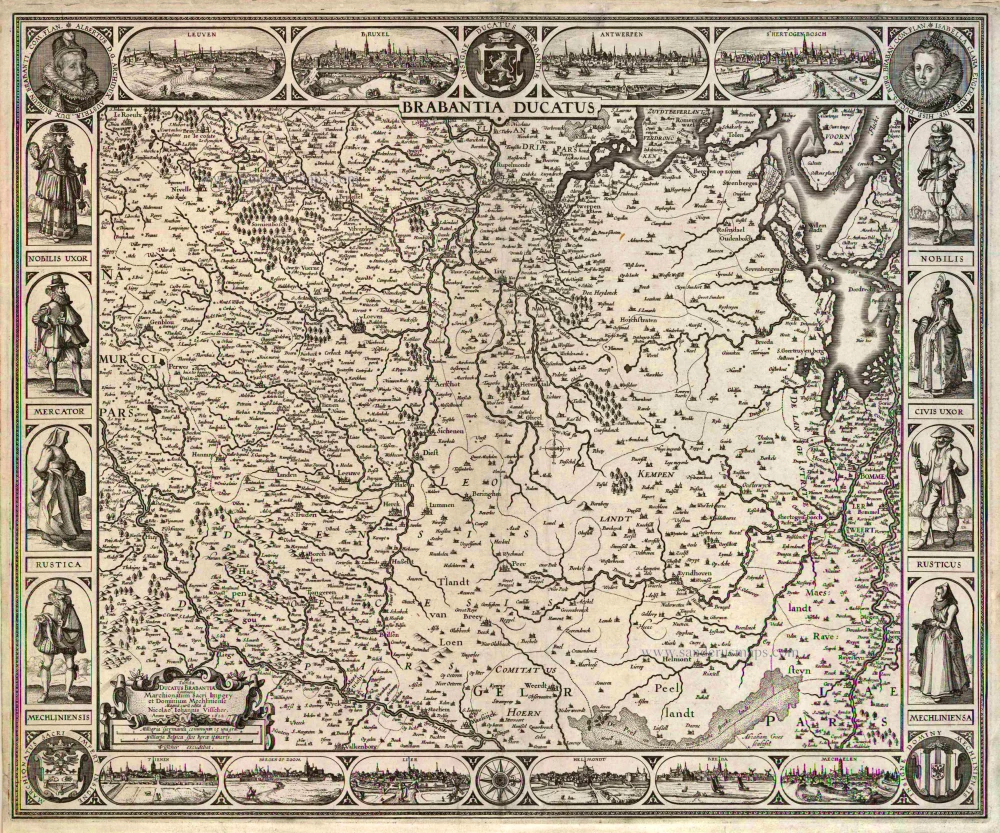
Brabant by Petrus Bertius, published by Jodocus Hondius II. 1618
Brabantia.
[Item number: 31591]
new
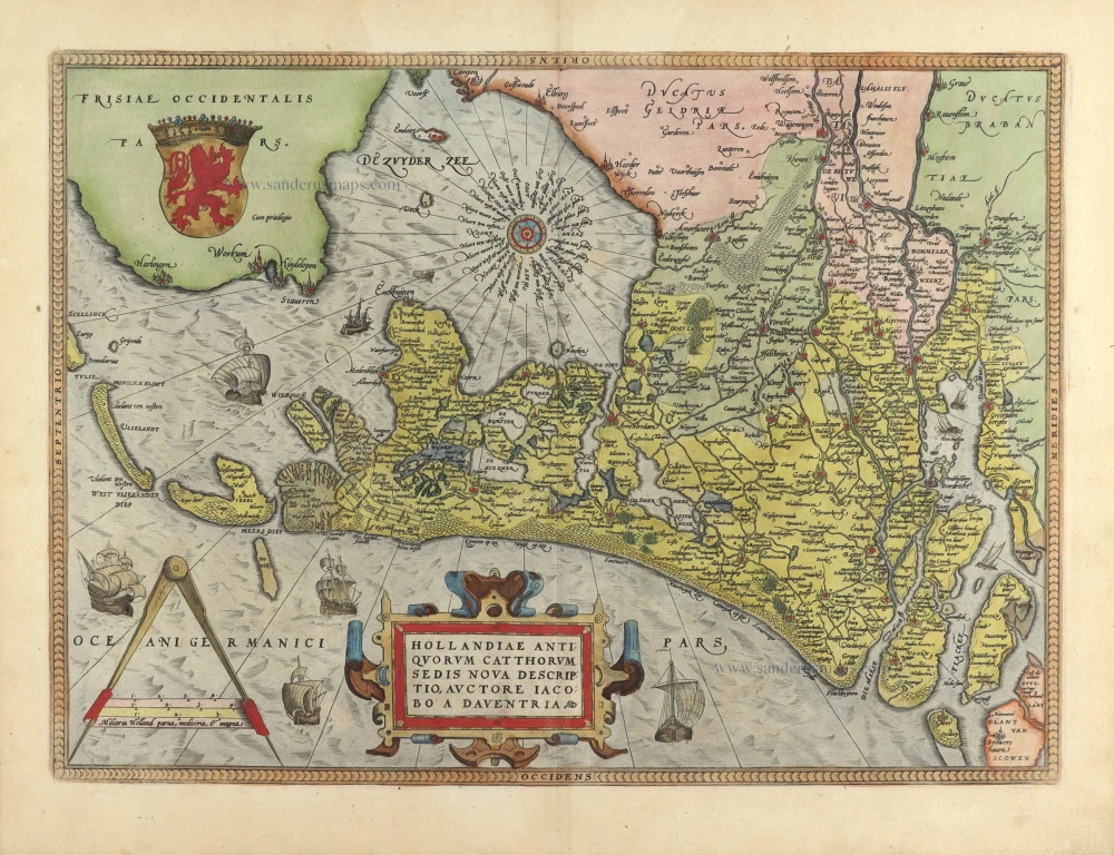
Holland, by Abraham Ortelius. 1584
Hollandiae Antiquorum Catthorum Sedis Nova Descriptio.
[Item number: 29547]
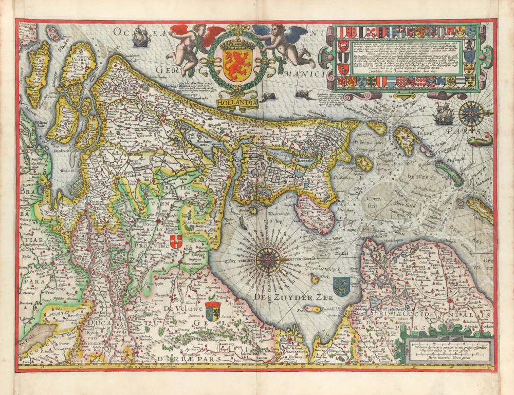
Holland by Petrus Kaerius (Pieter Van den Keere). 1617
Hollandia.
[Item number: 30257]

Holland by Petrus Bertius, published by Jodocus Hondius II. 1618
Hollandia.
[Item number: 31589]
new
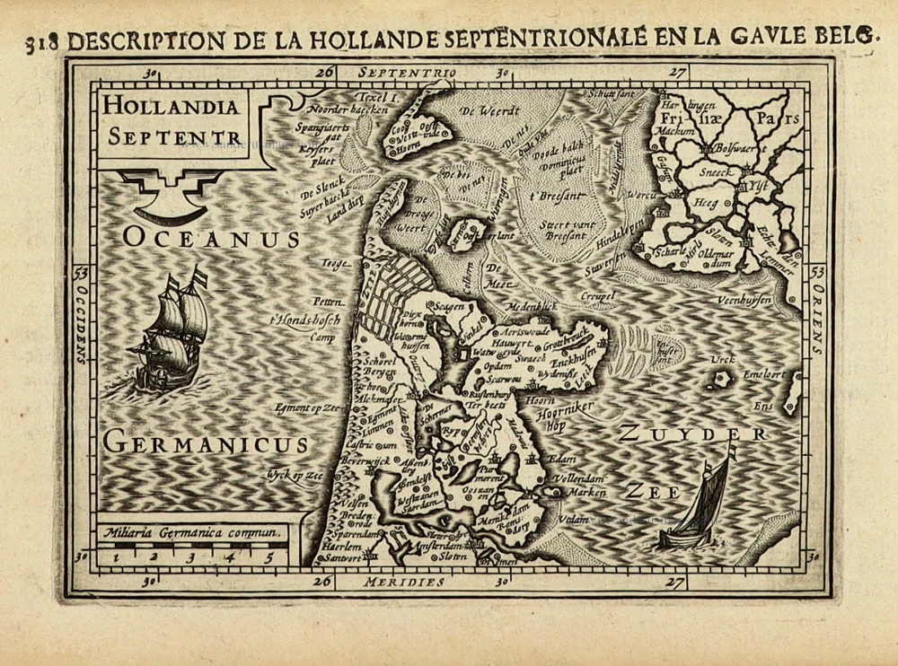
Holland (North) by Petrus Bertius, published by Jodocus Hondius II. 1618
Hollandia Septentr
[Item number: 31587]
new

Holland (South) by Petrus Bertius, published by Jodocus Hondius II. 1618
Hollandia Meridonal.
[Item number: 31588]
new
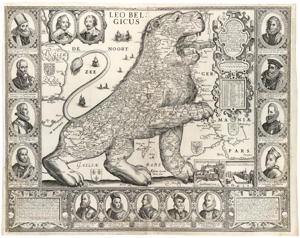
Johan van Doetechum's Leo Belgicus 1641, only recorded copy.
Leo Belgicus by Johan van Doetechum, published by C.J. Visscher. 1641
Leo Belgicus
[Item number: 31412]
new

XVII Provinces by Petrus Bertius, published by Jodocus Hondius II. 1618
Inferior Germania
[Item number: 31580]
new
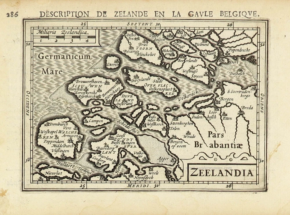
Zeeland by Petrus Bertius, published by Jodocus Hondius II. 1618
Zeelandia.
[Item number: 31590]
new

Extremely rare map of Het Zwin (Knokke - Belgium)
Het Zwin - Knokke, Sluis, and Cadzand by Claes Jansz Visscher. 1627-37
Kaerte van Sluys, het Zwin ende de Schansen aen weder Syden.
[Item number: 30256]
Rare
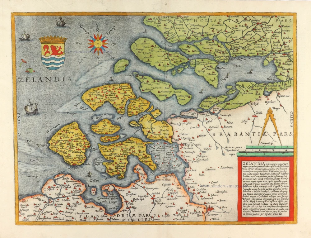
Zeeland, by Gerard de Jode. 1593
Zelandia inferioris Germaniae pars ...
[Item number: 30910]
Early edition
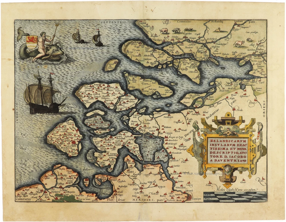
Zeeland by Abraham Ortelius. 1573
Zelandicarum Insularum exactissima et nova descriptio,
[Item number: 30967]
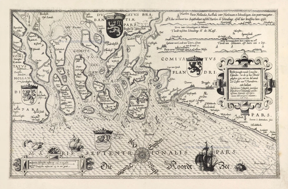
Rare and important sea chart.
Lucas Janszoon Waghenaer, Zeeland and Flanders. 1586
Beschrijvinghe vande Zeeusche Eijlanden Soe die op hare Strome ...
[Item number: 28469]
![[No title - With inset view of the town of Middelburg:] Middelburgum. [Costumed figures:] Seelandi](https://sanderusmaps.com/assets/WEBP/m30935.webp)
Zeeland by Petrus Kaerius, published by C.J. Visscher. c. 1630-1650
[No title - With inset view of the town of Middelburg:] ...
[Item number: 30935]
Rare and important map!
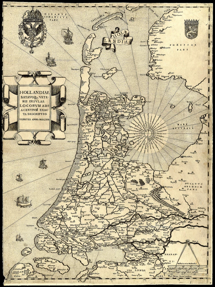
Holland, by Camocio G.F. - Forlani P. 1563
Hollandiae Batavor Veteris Insulae Locorum Adiacentium Exacta ...
[Item number: 9232]
Very early Holland map.
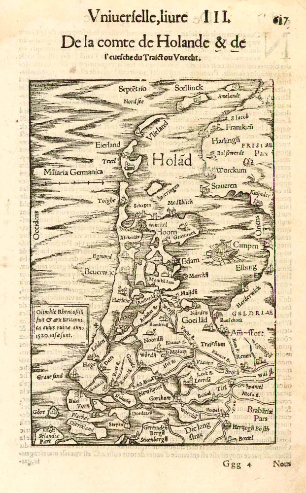
Holland by Sebastian Münster. 1552
Hola(n)d.
[Item number: 27467]
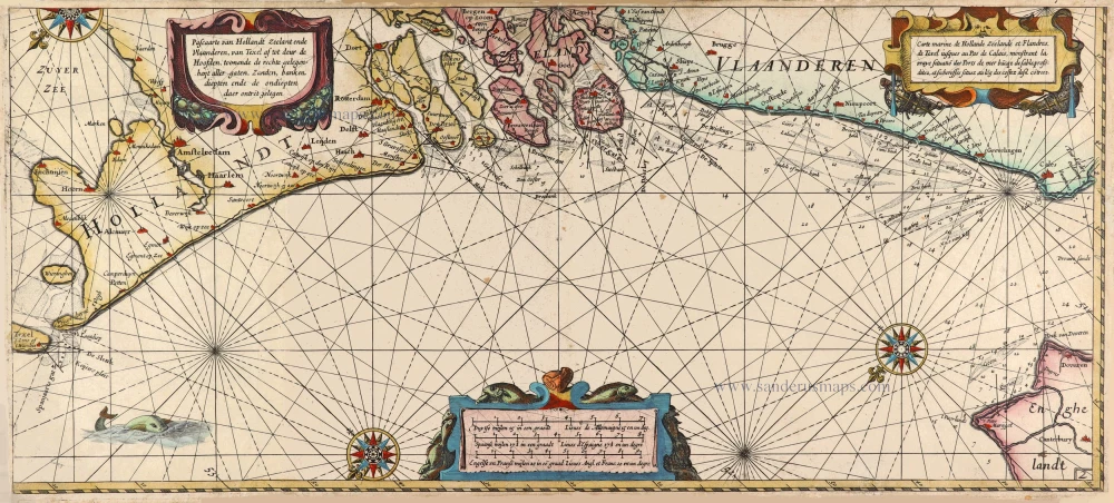
Rare sea chart of the Netherlands.
Willem Blaeu, pirate edition by Joannes Janssonius. 1620-1634
Pascaarte van Hollandt Zeelandt ende Vlaanderen, van Texel af ...
[Item number: 30058]
![[No title]](https://sanderusmaps.com/assets/WEBP/m25614.webp)
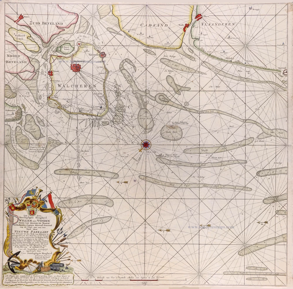
Navigation chart of utmost importance. Third known copy.
Zeeland and Flanders, Willem den Dooven, 1617.
[No title]
[Item number: 25614]
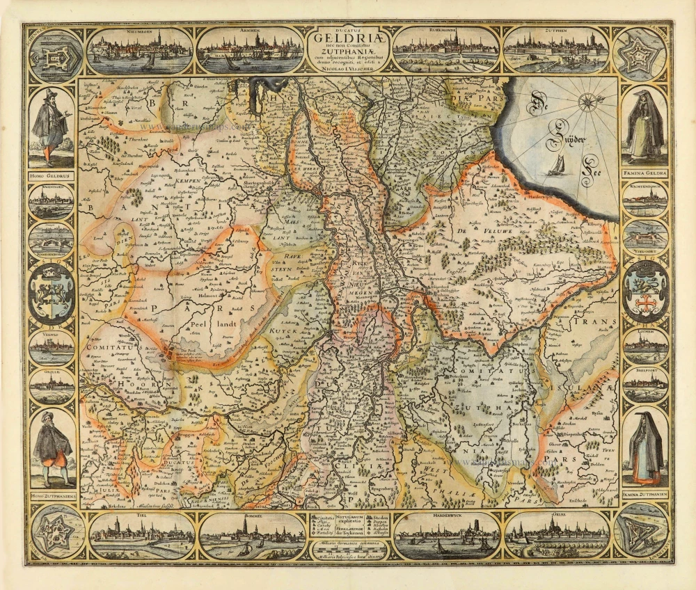
Scarce and decorative map
Gelderland, by Claes Jansz Visscher. 1634
Ducatus Geldriae nec non Comitatus Zutphiae cum adjacentibus ...
[Item number: 28004]
Very rare
Seachart of Oostende—Knokke by Stephanus van der Loeff en Bonifacius Cau, published van Joannes Van Keulen. 1799
Nieuwe Paskaart Van Oostende tot den Hoek van Schouwen en ...
[Item number: 31168]
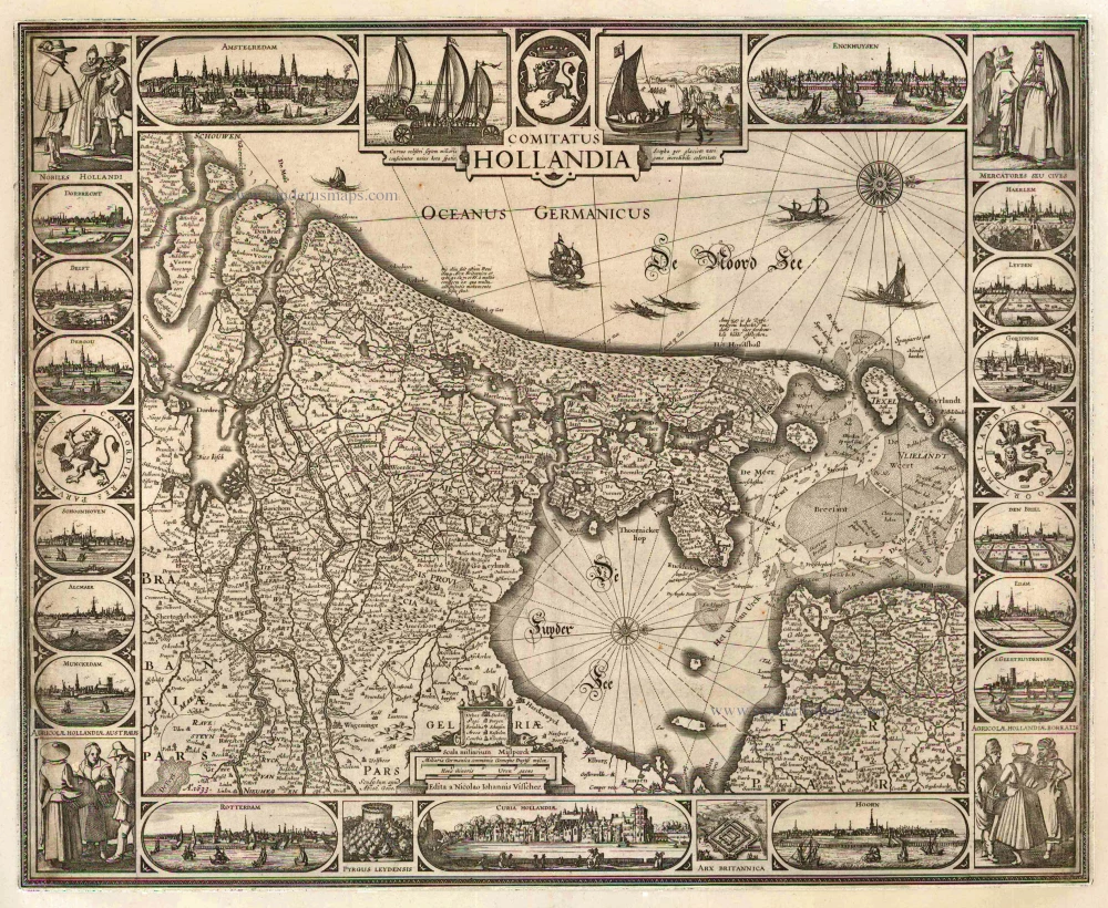
Strong impression. Important map.
Holland by C.J. Visscher. 1633
Comitatus Hollandia
[Item number: 2748]
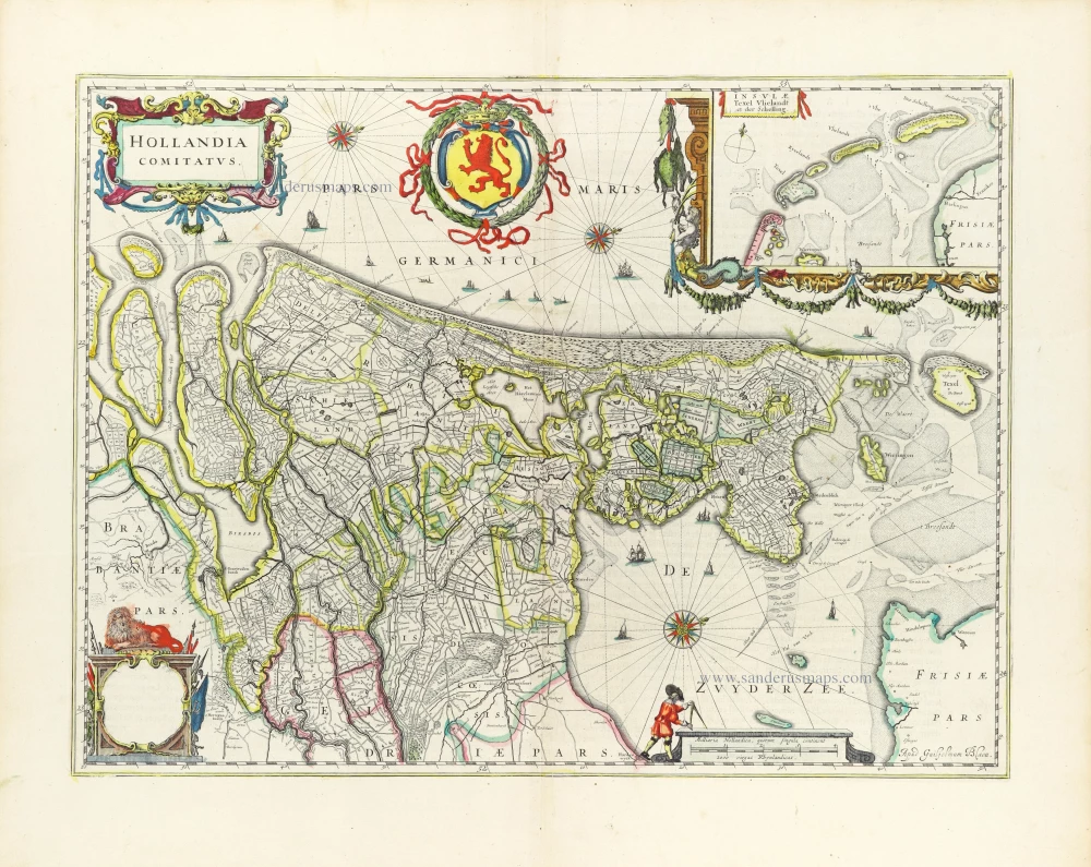
Holland by Willem Blaeu 1643
Hollandia Comitatus.
[Item number: 30182]
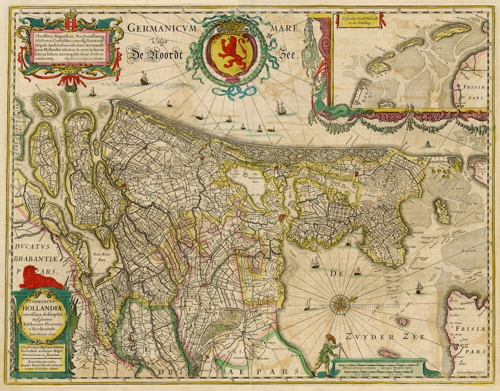
Holland, by Janssonius J. 1638
Comitatus Hollandiae novissima descriptio.
[Item number: 19020]
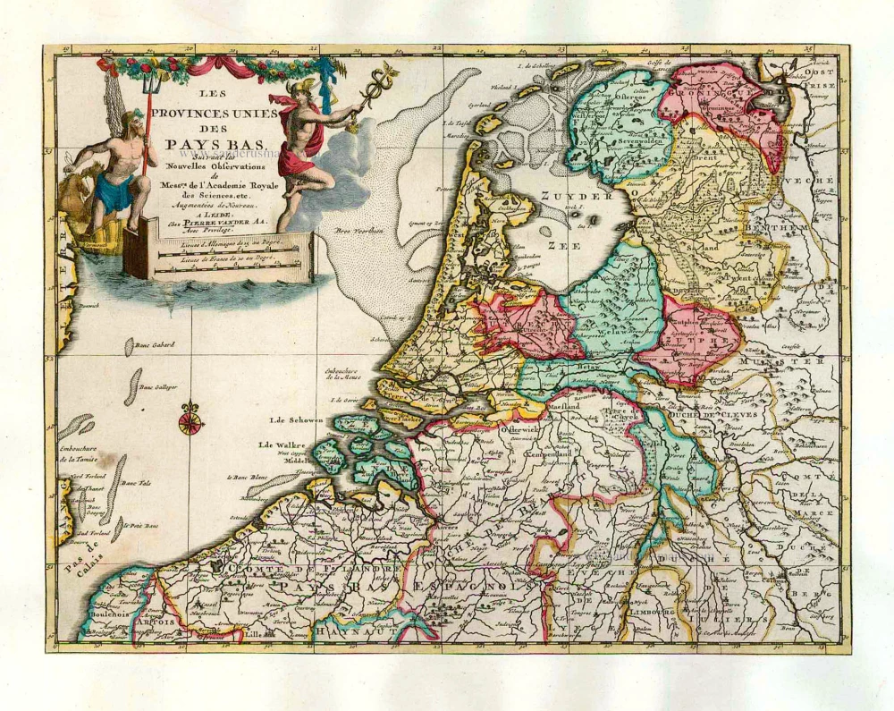
The VII Provinces, by Pieter Van der Aa. 1713
Les Provinces Unies des Pays-Bas.
[Item number: 26060]
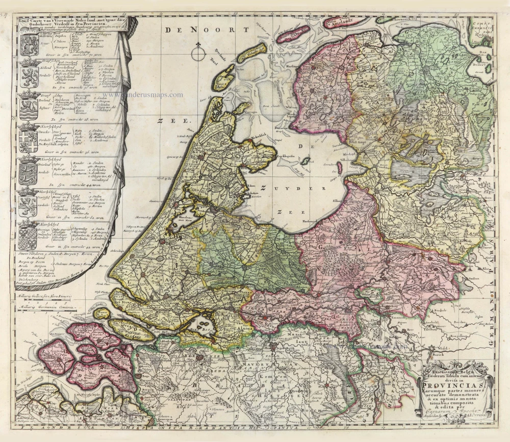
VII Provinces by Ottens R. & I. After 1726
Exactissima Belgii Foederati Tabula cum annexis divisa in ...
[Item number: 28005]
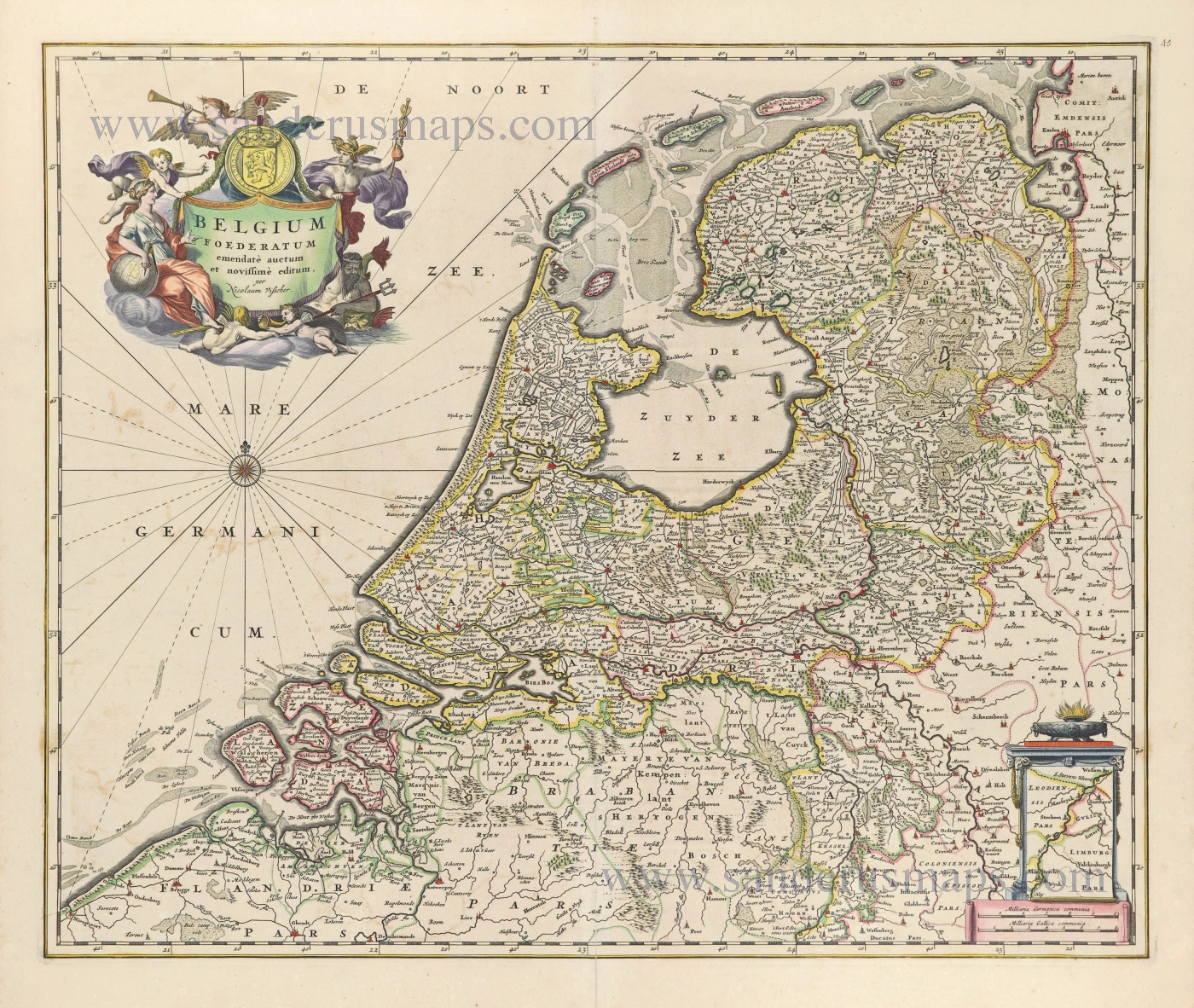
Republic of the VII Provinces, by Nicolaes Visscher I. 1658-80
Belgium Foederatum.
[Item number: 28589]
Rare!
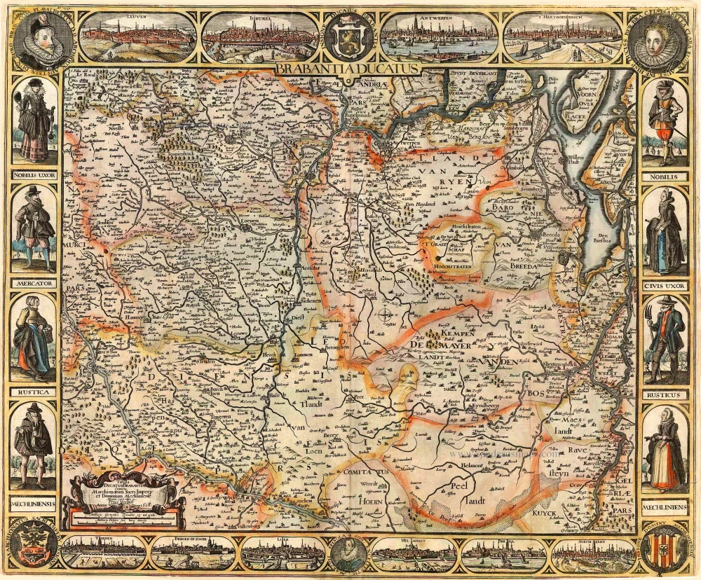
Brabant by Pieter Verbiest 1628
Brabantia Ducatus / Tabula Ducatus Brabantiae Continens ...
[Item number: 27743]
Brabant by C.J. Visscher. 1622
Brabantia Ducatus / Tabula Ducatus Brabantiae Continens ...
[Item number: 2640]
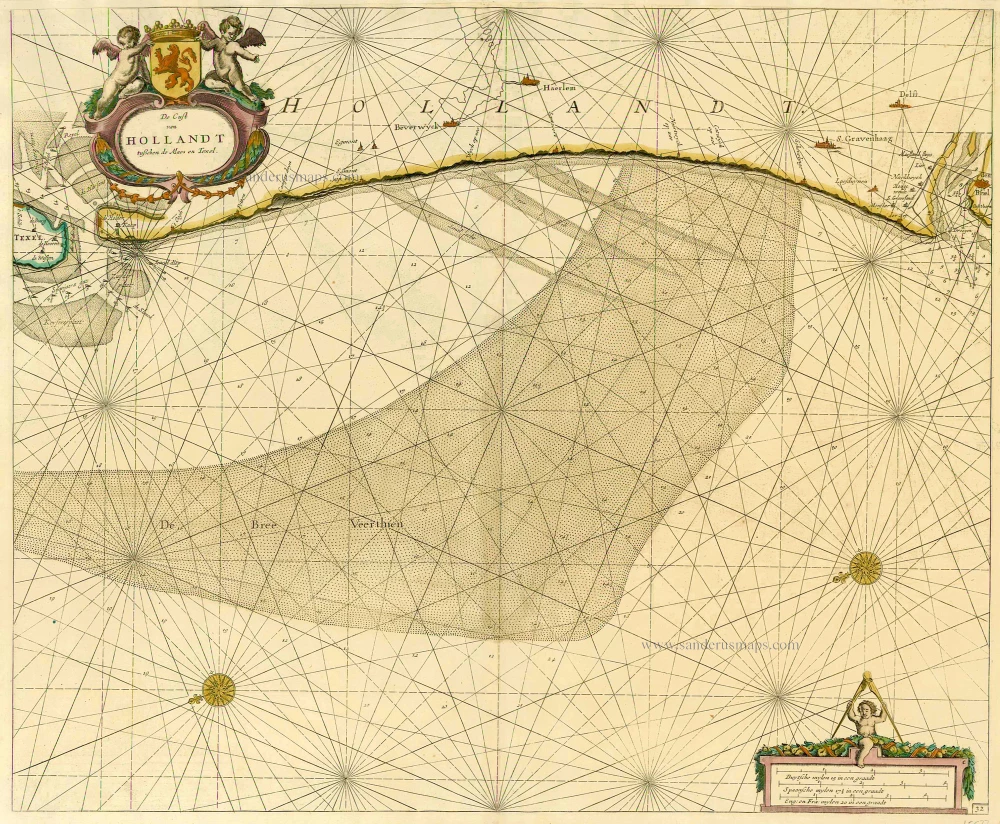
Holland by Hendrick Doncker. 1686
De Cust van Hollandt Tusschen de Maes en Texel.
[Item number: 15677]
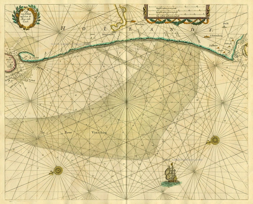
Sea chart of Holland, by Pieter Goos. 1667
Cust van Hollant tusschen de Maes ende Texel
[Item number: 19040]
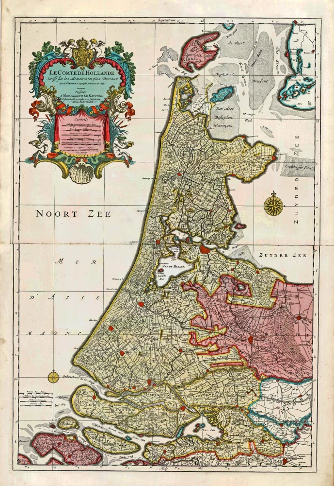
Big and spectacular map
Holland, by Pieter Mortier. c. 1705
Le Comté de Hollande.
[Item number: 27807]
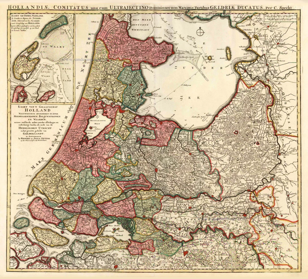
Holland by C. Specht, published by R. & J. Ottens. 1730-45
Kaart van 't Graafschap Holland Naauwkeurig Afgedeelt in zyne ...
[Item number: 25706]
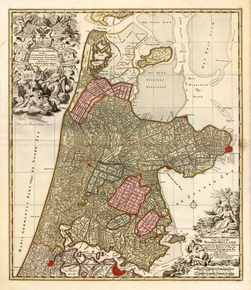
Noord Holland by Nicolaas Visscher I, published by Petrus Schenk. c. 1700
Kennemaria et Westfrisia vulgo et vernaculé Noord-Holland.
[Item number: 25707]
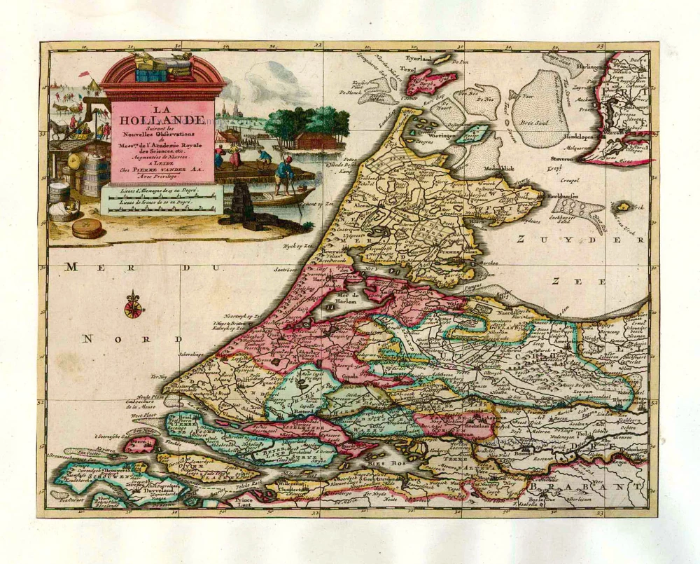
Holland by Pieter Van der Aa. 1713
La Hollande.
[Item number: 26059]

Important and rare map.
Brabant, by Michele Tramezini. 1558
Brabantiae Belgarum Provinciae Recens Exactaque Descriptio.
[Item number: 26713]
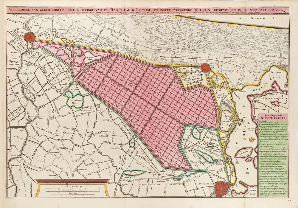
Scarce map
Polder map of Holland, by Nicolaas Visscher, published by Petrus Schenk Jr. c. 1750
Afbeeldinge van zeker concept tot bedykinge van de Haarlemer, ...
[Item number: 28918]