Antique maps catalogue
- All recent additions
-
Antique maps
- Polar maps
- World
-
Europe
- Europe Continent
- Belgium
- Belgium - Cities
- The Low Countries
- The Netherlands
- The Netherlands - Cities
- Luxembourg
- France
- France - Cities
- Germany
- Germany - Cities
- Austria
- Italy
- Italy - Cities
- Spain and Portugal
- Greece & Greek Islands
- Switzerland
- British Isles
- British Isles - Cities
- Northern Europe
- Central Europe
- Eastern Europe
- Southeastern Europe
- America
- Asia
- Africa
- Mediterranean Sea
- Australia
- Oceans
- Celestial Maps
- Curiosities
- Title Pages
- Books
- Medieval manuscripts
- Prints
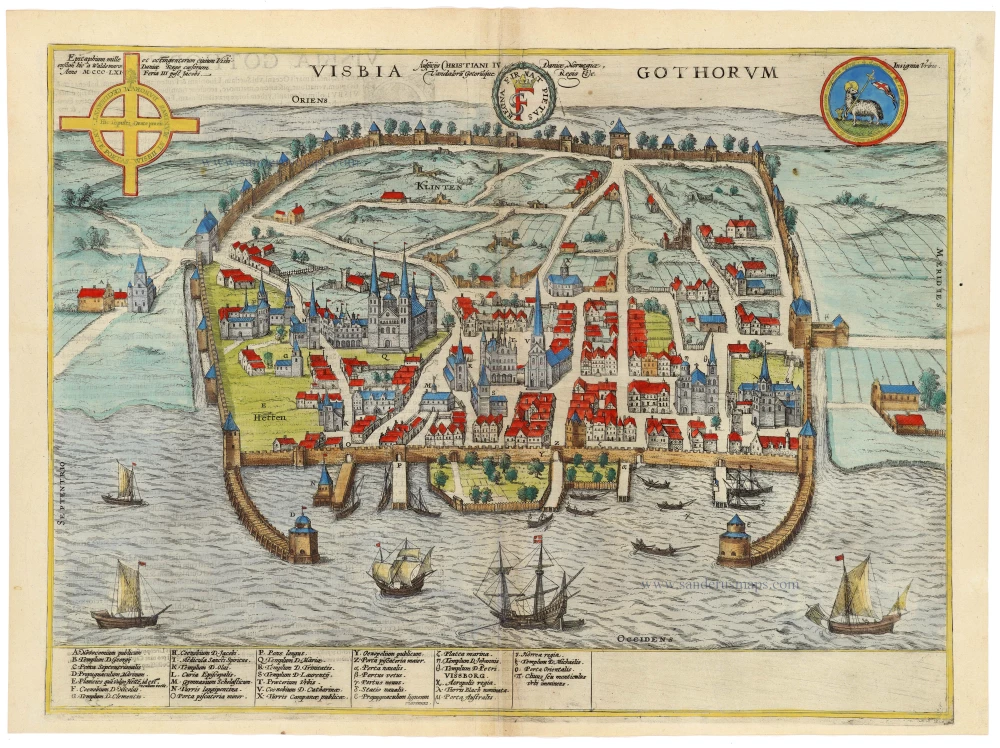
Visby by Braun & Hogenberg 1596
Visbia Gothorum
[Item number: 33197]

Unrecorded variant of Allard's view of Stockholm
View of Stockholm by Carel Allard. 1673
Stockholm.
[Item number: 30555]

Unrecorded variant of Allard's view of Copenhagen
View of Copenhagen by Carel Allard. 1673
Coppenhaven.
[Item number: 30572]

Vaygach - Nova Zembla by Petrus Bertius, published by Jodocus Hondius II. 1618
Delineatio Freti Vaigats.
[Item number: 31526]
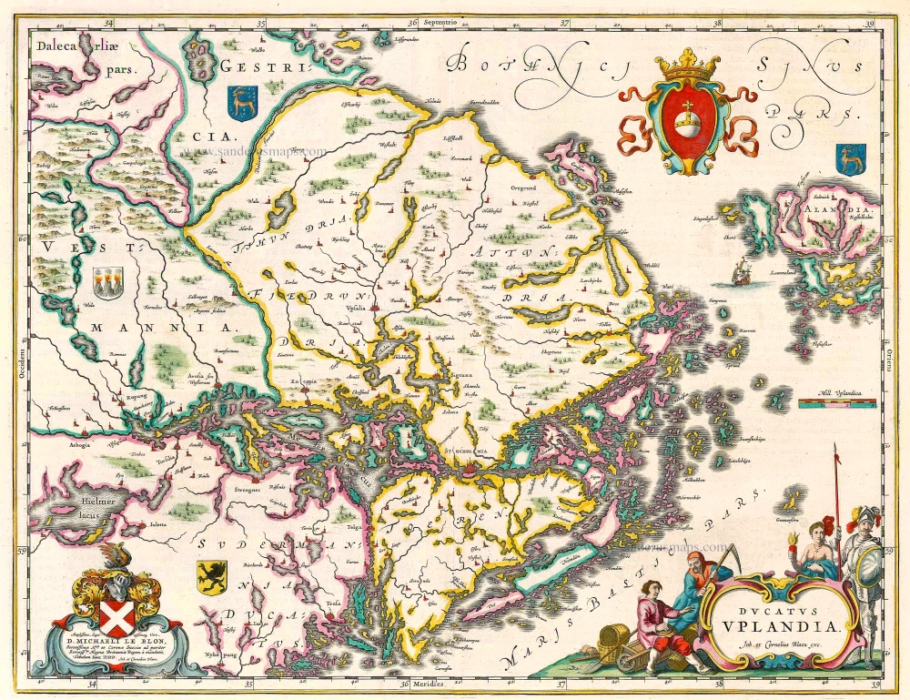
Uppland (Sweden), by Joan Blaeu. 1644
Ducatus Uplandia
[Item number: 21398]

Title page of the first edition of Linschoten's Arctic voyages in search of the North-East Passage to China.
Linschoten's Voyagie, ofte Schip-Vaert Anno 1594 en[de] 1595. With inset of Yugor Strait. 1601
Voyagie, ofte Schip-Vaert, van Ian Huyghen van Linschoten
[Item number: 30292]

Heightened in gold
The North Sea by P. Mortier. 1693
Carte de la Mer d'Allemagne ...
[Item number: 15485]

Important map of the Island of Hven
Ven by Braun & Hogenberg 1617
Topographia Insulae Huenae in Celebri Porthmo Regni Daniae, quem...
[Item number: 32738]

Sweden, by Antonio Zatta. 1779-1785
La Svezia divisa ne suoi Regni
[Item number: 31889]

Sweden - Svealand, by Joan Blaeu. 1659
Sueonia Proprie sic dicta.
[Item number: 31139]

Sweden - Skane by Joan Blaeu 1659
Scania Vulgo Schoonen.
[Item number: 30263]
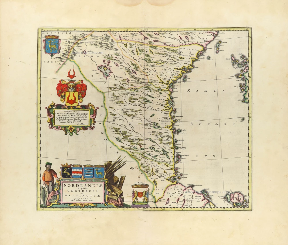
Sweden - Norrland by Blaeu J. 1659
Nordlandiae et quibies Gestricia et Helsingicae
[Item number: 32436]

Sweden - Götaland, by Joan Blaeu. 1659
Gothia.
[Item number: 30269]
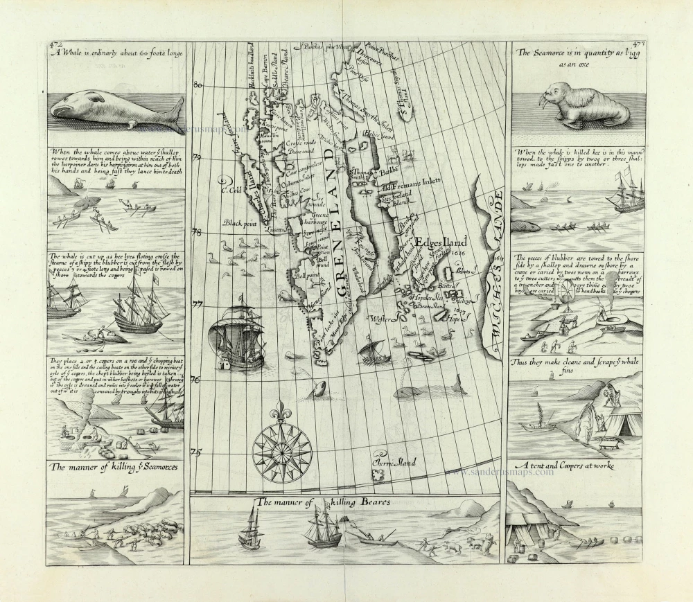
Scarce and decorative map
Spitzbergen by Samuel Purchas 1625
[No title] Svalbard
[Item number: 32420]

Very rare!
Sweden, 2 playing cards from a set of 14, designed by Nicolas Jean Baptiste de Poilly, printed by Jean-Baptiste Mitoire c. 1763
Suede.
[Item number: 33098]

First edition
Stockholm, by Georg Braun and Frans Hogenberg. 1588
Stockholm.
[Item number: 30937]

Stockholm, by E. Dahlberg. 1660-1715
Stockholmia metropolis regni Sueciae et sedes regia qua parte...
[Item number: 28009]
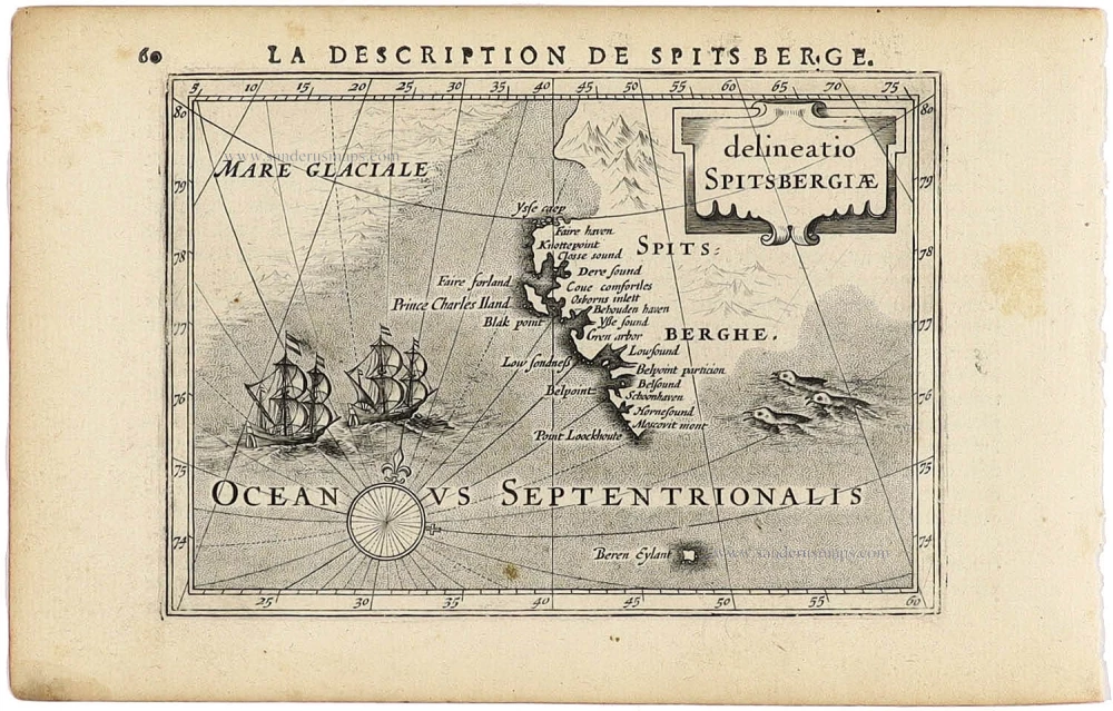
Spitsbergen - Norway (Svalbard) by Petrus Bertius, published by Jodocus Hondius II. 1618
delineatio Spitsbergiae.
[Item number: 31522]
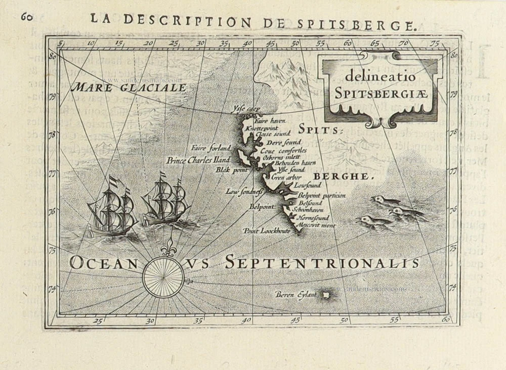
Spitsbergen (Svalbard) by Petrus Bertius 1618
Delineatio Spitsbergiae.
[Item number: 31456]

Southern Trondheim by Joan Blaeu. 1659
Dioecesis Trundhemiensis Pars Australis.
[Item number: 30212]

Southern Scandinavia by Zacharias Châtelain. 1714
Carte de la Partie Meridionale du Royaume de Suède avec une...
[Item number: 29413]

Sound Strait by Braun and Hogenberg 1635
Freti Danici or Sundt Accuratiss Delineatio.
[Item number: 32690]
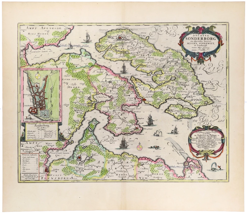
Sonderborg and the Island of Als, by Johannes Meyer, published by Joan Blaeu. 1662
Ducatus Sonderborg cum adjacentibus Territoriis Alssen,...
[Item number: 33403]
new

Sea chart of Norway, by Doncker H. 1686
De Custen van Noorwegen tusschen Der Neus en Schuitenes.
[Item number: 15775]

Norway, by Doncker H. 1686
De Cust van Noorwegen vertoonende van Bergen tot aen de hoek van...
[Item number: 17064]

Sea chart of Norway - Finnmark, by Doncker H. 1686
De Zee-kusten van Finmarcken tusschen Dronten en Sanien.
[Item number: 17630]

Sea chart of Norway - Finnmark, by Doncker H. 1686
Caarte van Finmargken van 't Eylandt Sanien tot Noordkyn.
[Item number: 17900]

Scania (Skåne) by Johannes Janssonius. c. 1678
Scania, Vulgo Schonen.
[Item number: 28520]

Scandinavia, by Zacharias Châtelain. 1714
Nouvelle Carte de Scandinavie ou des Etats du Nord Dressée sur...
[Item number: 29499]
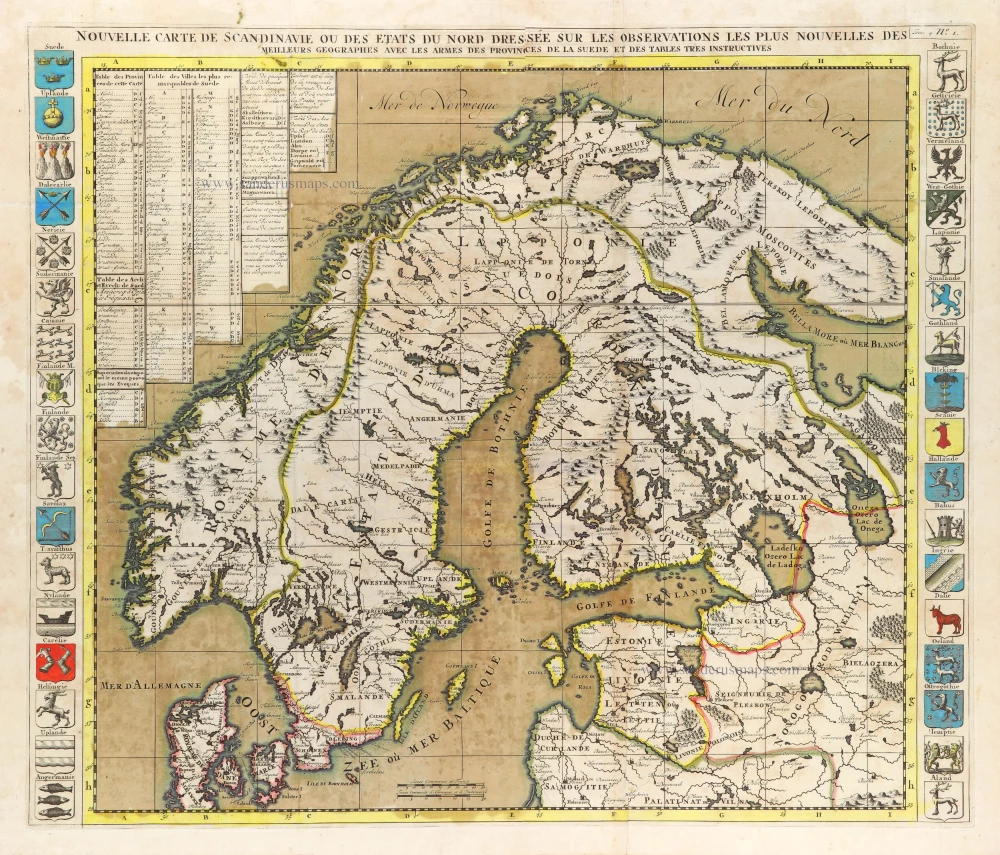
In rare original colour
Scandinavia, by Zacharias Châtelain. 1714
Nouvelle Carte de Scandinavie ou des Etats du Nord Dressée sur...
[Item number: 31424]
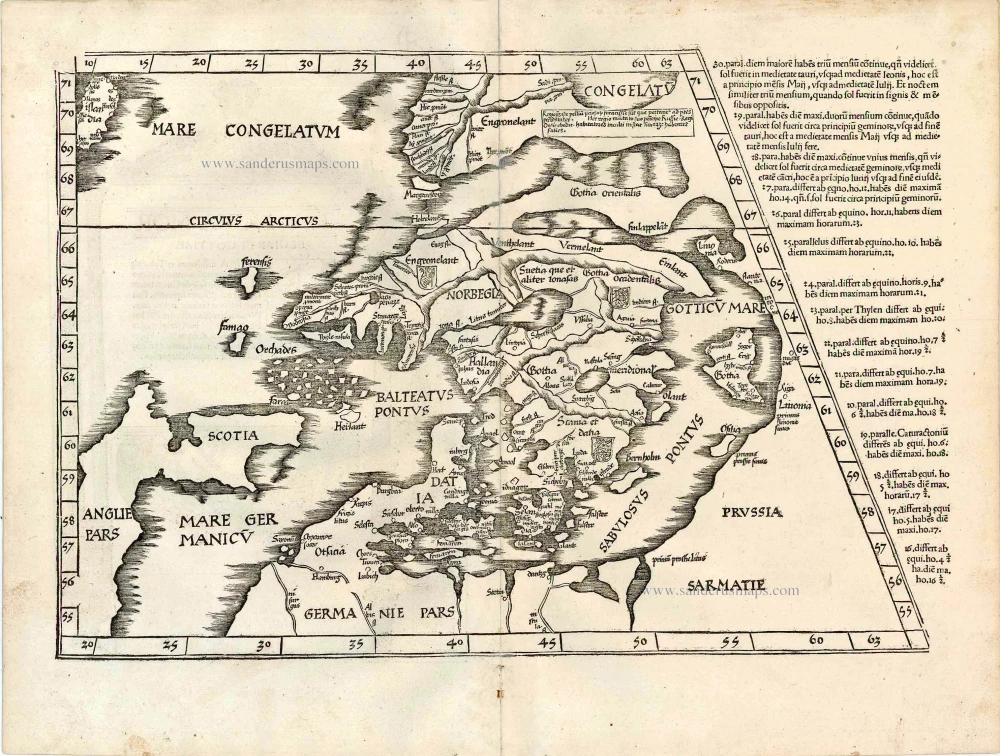
Early edition with Durer's woodcut panels on verso.
Ptolemy map of Scandinavia by Lorenz Fries, after Matin Waldseemüller. 1525
[No title - on verso:] Tab. Nova Norbegiae et Gottiae
[Item number: 27930]
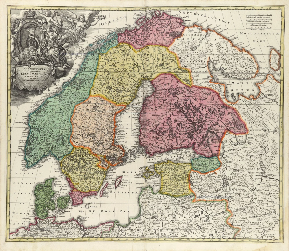
Scandinavia, by Homann J.B. 1712
Scandinavia complectens Sueciae, Daniae, & Norvegiae Regna.
[Item number: 32203]
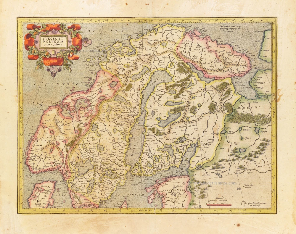
Scandinavia, by Gerard Mercator. 1628
Svecia et Norvegia cum confinijs.
[Item number: 28815]
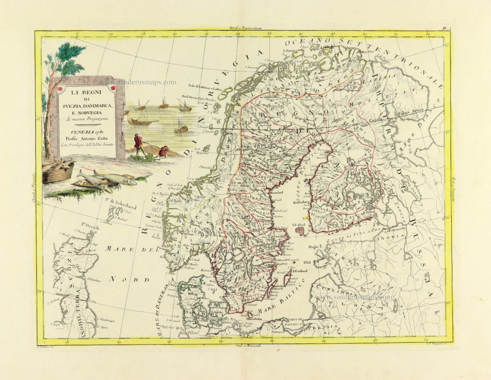
Scandinavia, by Antonio Zatta. 1779-1785
Li Regni di Svezia, Danimarca, e Norvegia.
[Item number: 31812]
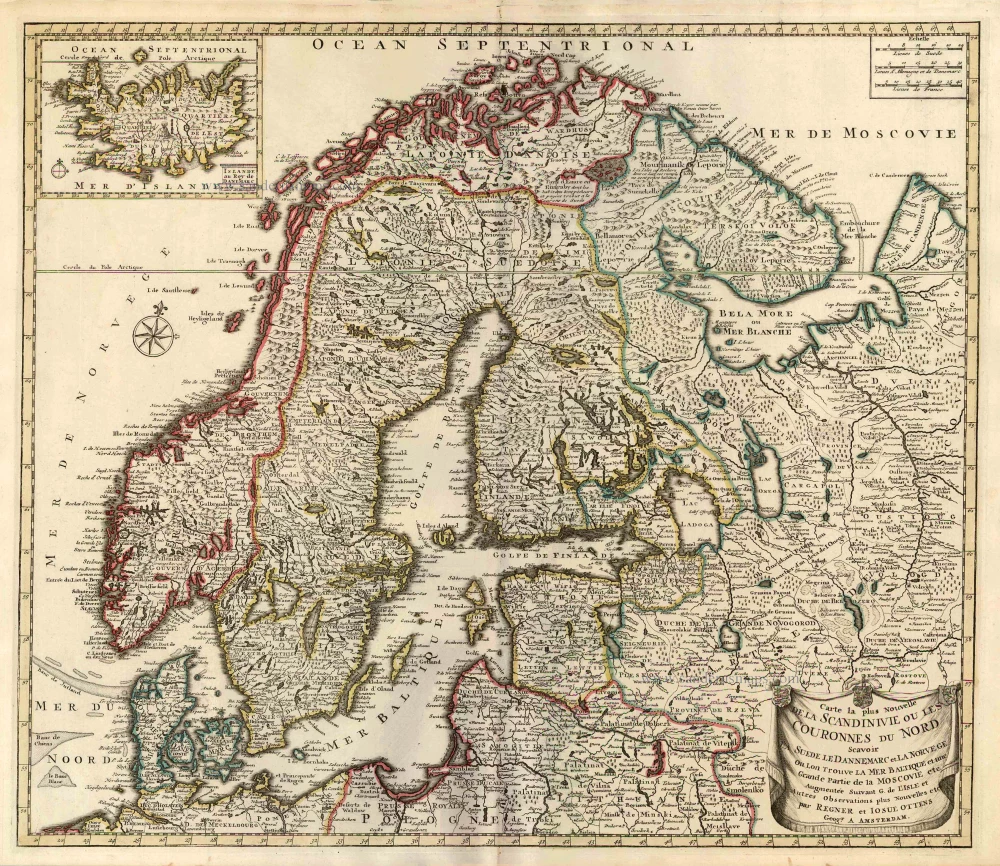
Scandinavia par R. & I. Ottens. 1730-45
Carte la Plus Nouvelle de la Scandinivie ou les Couronnes du...
[Item number: 25858]
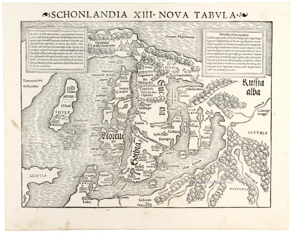
Important and early map
Scandinavia by Sebastian Münster 1542
Schonlandia XIII Nova Tabula
[Item number: 33411]
new