Our catalogue catalogue
- All recent additions
-
Antique maps
- Polar maps
- World
-
Europe
- Europe Continent
- Belgium
- Belgium - Cities
- The Low Countries
- The Netherlands
- The Netherlands - Cities
- Luxembourg
- France
- France - Cities
- Germany
- Germany - Cities
- Austria
- Italy
- Italy - Cities
- Spain and Portugal
- Greece & Greek Islands
- Switzerland
- British Isles
- British Isles - Cities
- Northern Europe
- Central Europe
- Eastern Europe
- Southeastern Europe
- America
- Asia
- Africa
- Mediterranean Sea
- Australia
- Oceans
- Celestial Maps
- Curiosities
- Title Pages
- Books
- Medieval manuscripts
- Prints

Franconia (Bavaria) by Johann Baptist Homann. 1712
Circuli Franconiae pars Orientalis et Potoir novissime delineata
[Item number: 33228]
new

Archbishopric and Electorate of Trier with the course of the Moselle River, by Johann Baptist Homann. 1712
Mosellae Fluminis Tabula Specialis in qua Archiepiscopatus et...
[Item number: 33229]
new

Archdiocese of Mainz (Western Franken), by Johann Baptist Homann. 1712
Circuli Franconiae Pars Occidentalis, exhibens simul integrum...
[Item number: 33230]
new
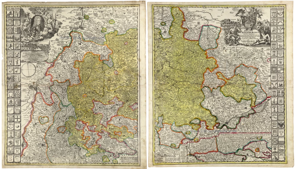
Württemberg, by Johann Baptist Homann. 1712
Ducatus Würtenbergici cum Locis limitaneis, utpote maxima parte...
[Item number: 33231]
new
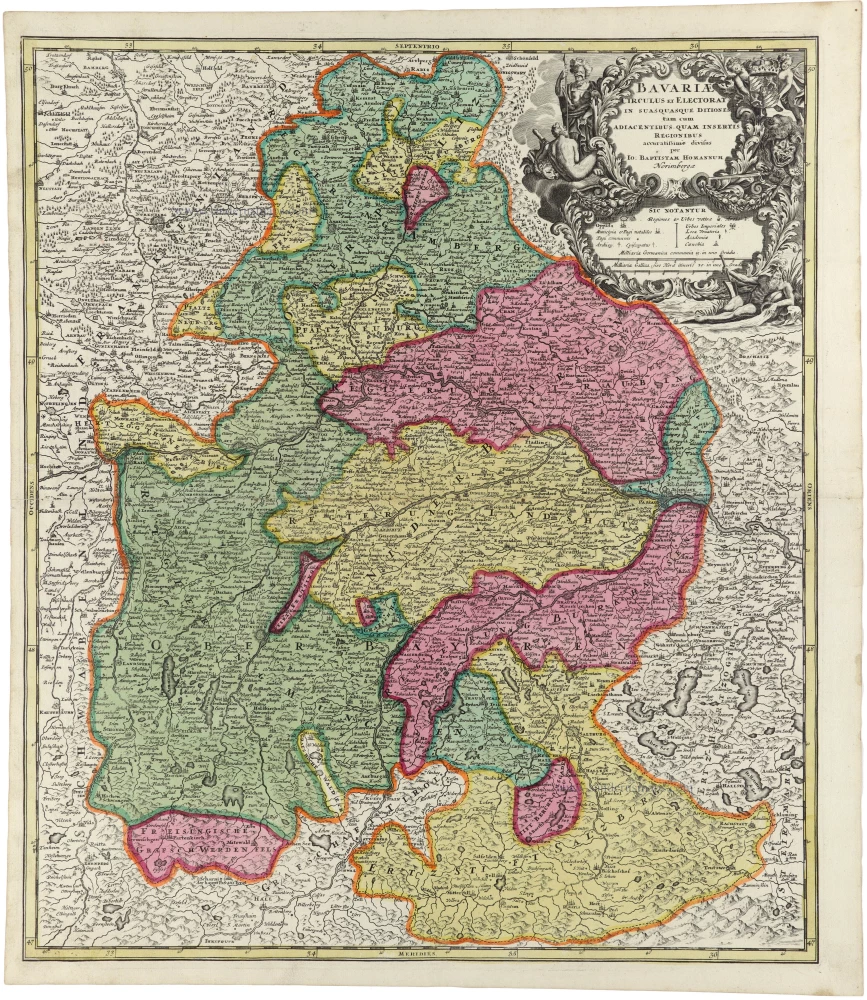
Bavaria by Johann Baptist Homann. 1712
Bavariae Circulus et Electorat in suas quasque Ditiones tam cum...
[Item number: 33232]
new

Ulm and surroundings by Johann Baptist Homann. 1712
Nova et accurata Territorii Ulmensis cum Dominio Wainensi
[Item number: 33233]
new

France by Johann Baptist Homann. 1712
Totius Regni Galliae Sive Franciae et Navarrae Novißima Tabula.
[Item number: 33252]
new

Surroundings of Paris, by Johann Baptist Homann. 1712
Agri Parisiensis Tabula particularis, qua maxima Pars Insulae...
[Item number: 33253]
new

Dauphine, Rhone-Alpes, by Johann Baptist Homann. 1712
Tabula Delphinatus Vulgo Le Gouvernement General du Dauphiné in...
[Item number: 33254]
new

Lorraine, by Johann Baptist Homann. 1712
Lotharingiae Tabula Generalis in qua Ducatus Lotharingiae et...
[Item number: 33255]
new

Germania - River System, by Johann Baptist Homann. 1712
Hydrographia Germaniae qua Geographiae Naturalis ...
[Item number: 33256]
new

Austria and southern Bavaria, by Johann Baptist Homann. 1712
Germaniae Austriacae Generalem Tabulam
[Item number: 33257]
new

Upper Austria, by J.B. Homann. 1712
Archiducatus Austriae Superioris in suas Quadrantes Ditiones...
[Item number: 33258]
new

Upper Austria, by J.B. Homann. 1712
Archiducatus Austriae Inferioris in omnes suas Quadrantes...
[Item number: 33259]
new

Bohemia, Silesia Moravia, Lusatia (Sorbia), by J.B. Homann. 1712
Regni Bohemiae, ducatus Silesiae, Marchionatus Moraviae et...
[Item number: 33260]
new

Northern Germany, by J.B. Homann. 1712
Circulus Saxoniae Inferioris in omnes suos Status et Principatus...
[Item number: 33262]
new

Saxony, Meissen, Thuringia, by J.B. Homann. 1712
Circulus Saxoniae in quo Ducatus & Electoratus Saxoniae...
[Item number: 33263]
new
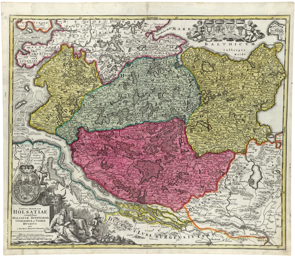
Holstein, by J.B. Homann. 1712
Tabula Generalis Holsatiae Complectens Holsatiae Dithmarsiae...
[Item number: 33265]
new

Mecklenburg-Vorpommern, by J.B. Homann. 1712
Ducatus Meklenburgici tabula generalis continens Duc. Vandaliae...
[Item number: 33266]
new

Pommern, by J.B. Homann. 1712
Ducatus Pomeraniae Novissima Tabula in anteriorem et interiorem...
[Item number: 33267]
new

Lower Saxony, by J.B. Homann. 1712
Ducatus Luneburgici et Comitatus Dannebergensis accurata...
[Item number: 33268]
new
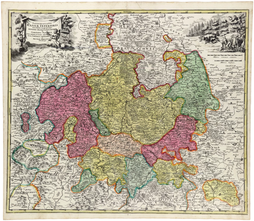
Nordhessen - Waldeck, by J.B. Homann. 1712
Landgraviatus Hassiae Inferioris nova Tabula, in qua praecipue...
[Item number: 33269]
new

Ancient Sicily, by Johannes Janssonius. 1630
Siciliae Veteris Typus.
[Item number: 33209]
new
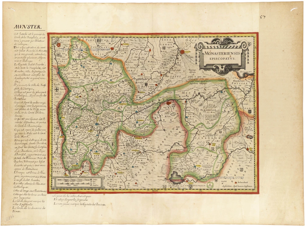
Münster by J. Janssonius. c. 1620-1650
Monasteriensis Episcopatus.
[Item number: 33273]
new

Oldenburg by Henricus Hondius. c. 1630-1650
Oldenburg Comitatus.
[Item number: 33275]
new
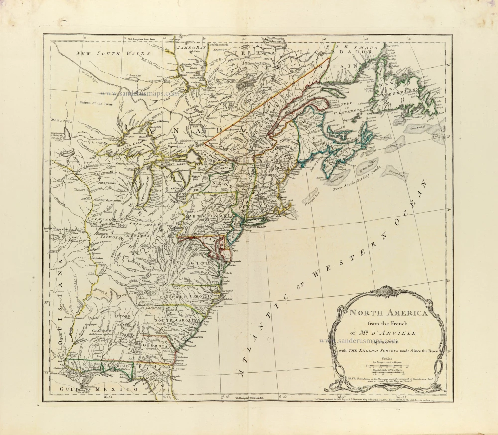
Eastern North America by J.B. Bourguignon d'Anville, published by Robert Sayer and John Bennett. 1775
North America from the French of Mr. d'Anville improved with The...
[Item number: 33360]
new
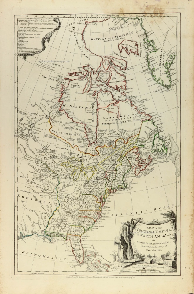
Eastern North America by Samuel Dunn, published by Robert Sayer and John Bennett. 1776
A map of the British Empire, in North America
[Item number: 33361]
new
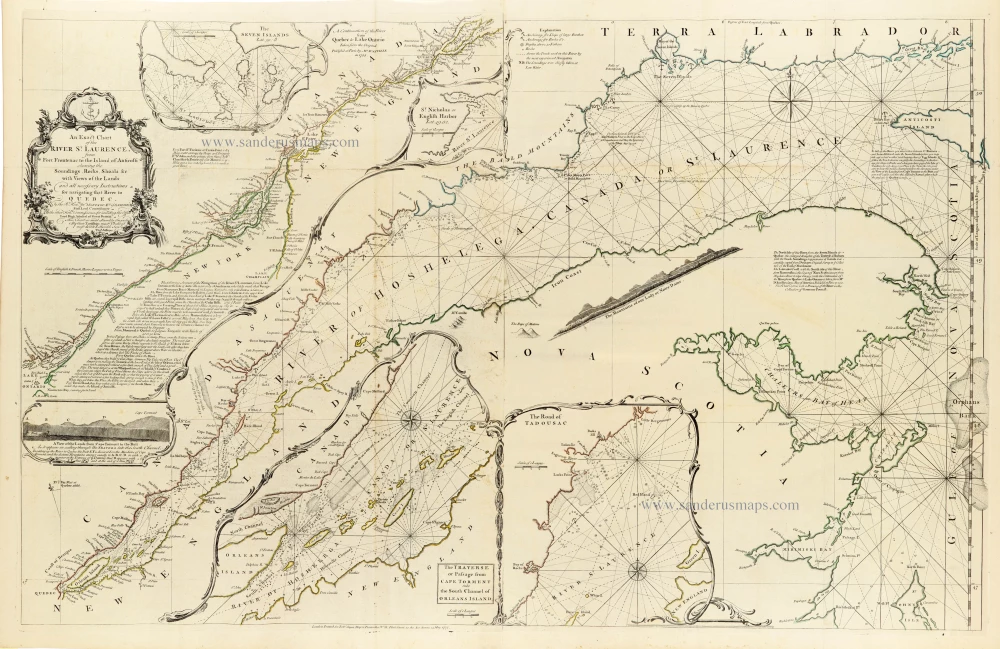
Canada - St. Laurence River by Thomas Jeffery, published by Robert Sayer, 1775
An Exact Chart of the River St. Laurence, from Fort Frontenac to...
[Item number: 33362]
new
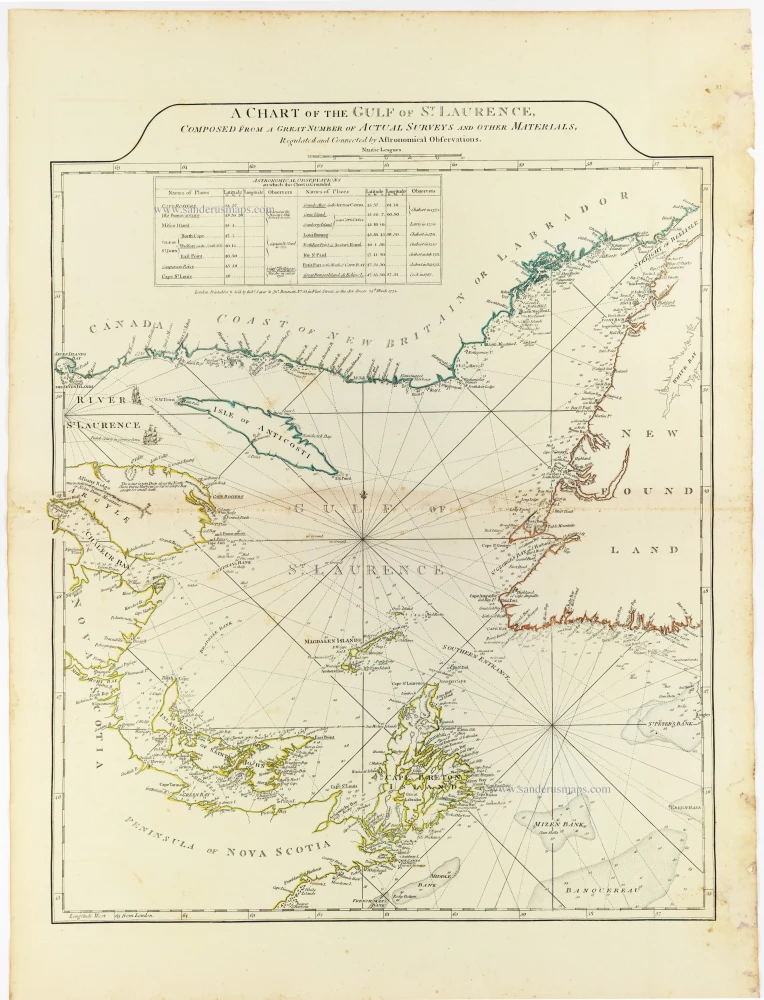
Gulf of St. Laurence by Thomas Jeffery, published by Robert Sayer, 1775
A Chart of the Gulf of St. Laurence, Composed From A Great...
[Item number: 33363]
new
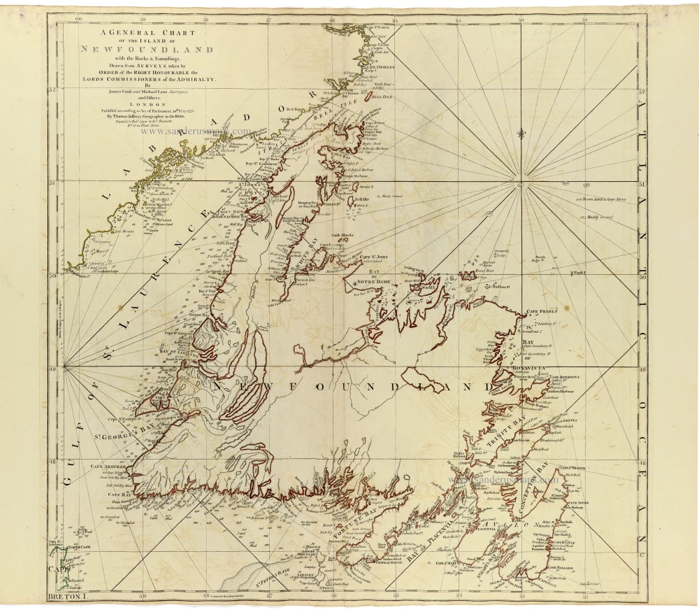
Newfoundland by James Cook and Michael Lane, published by Thomas Jefferys. 1775
A General Chart of the Island of Newfoundland with the Rocks &...
[Item number: 33364]
new
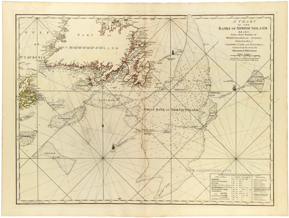
Sea chart of Newfoundland by Joseph-Bernard de Chabert, James Cook and Charles-Pierre Claret de Fleurieu, published for Thomas Jefferys, by Robert Sayer and John Bennett. 1775
A Chart of the Banks of Newfoundland Drawn from a Great Number...
[Item number: 33365]
new
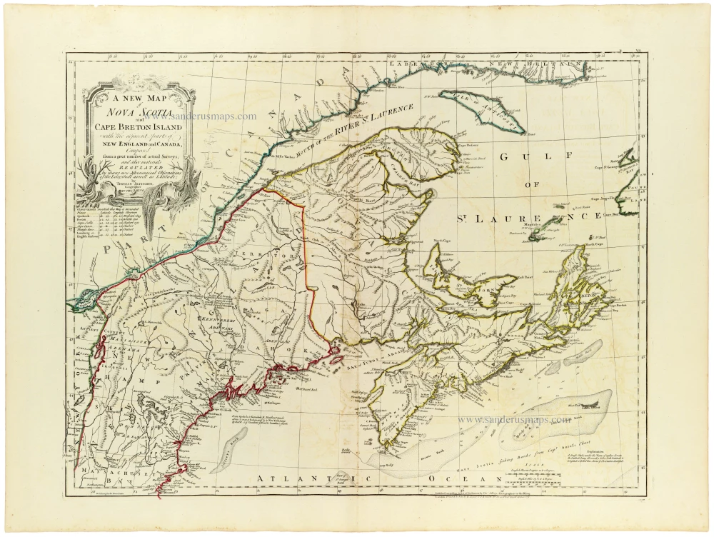
Nova Scotia by Thomas Jefferys, published by Robert Sayer and John Bennett 1775
A new map of Nova Scotia, and Cape Breton Island with the...
[Item number: 33366]
new

Duchy of Namur by Lodovico Guicciardini. 1581
Namurcum, Comitatus.
[Item number: 33214]
new

The largest printed map of California as an island.
California by Nicolas de Fer. 1720
La Californie ou Nouvelle Caroline. Teatro de los Trabajos,...
[Item number: 33204]
new

Africa by Nicolas Sanson. 1659
Afrique.
[Item number: 33215]
new

Asia by Nicolas Sanson. 1659
Asie
[Item number: 33216]
new